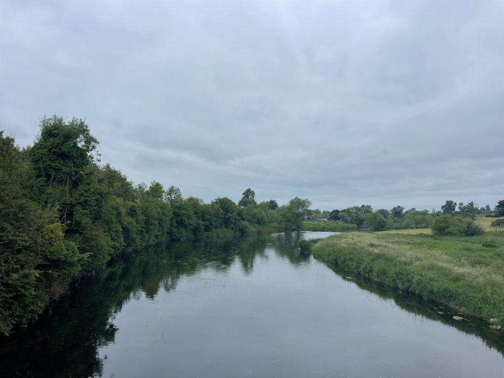
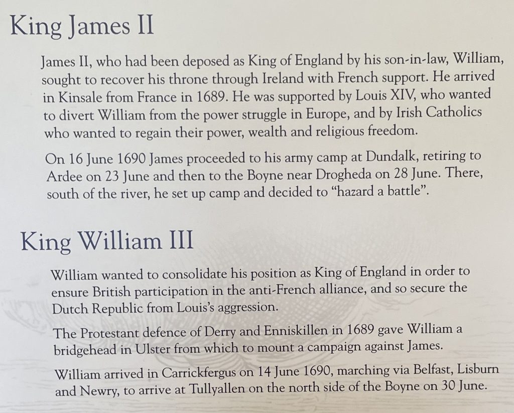
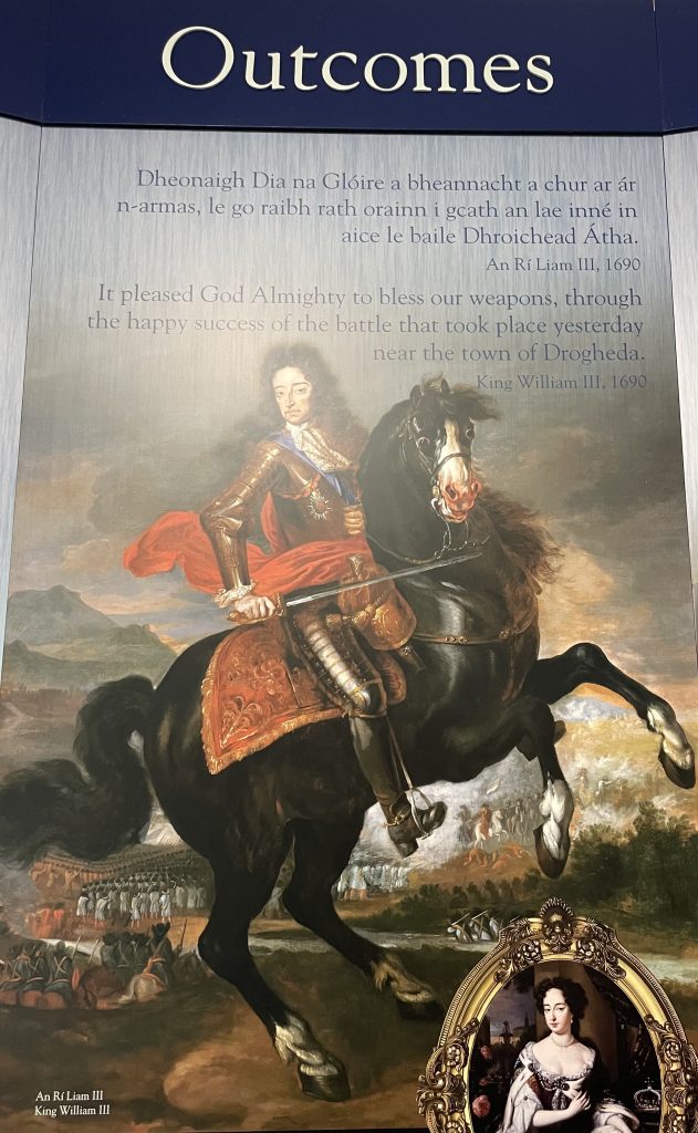
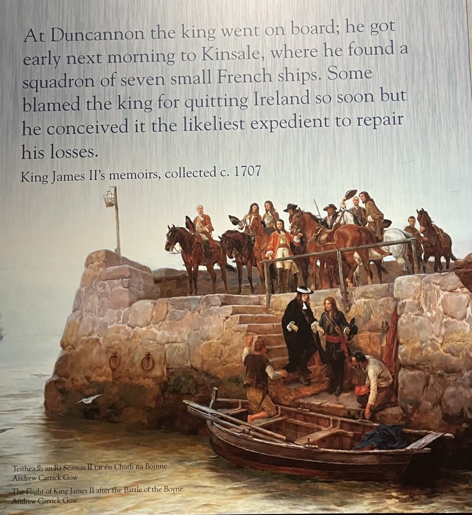
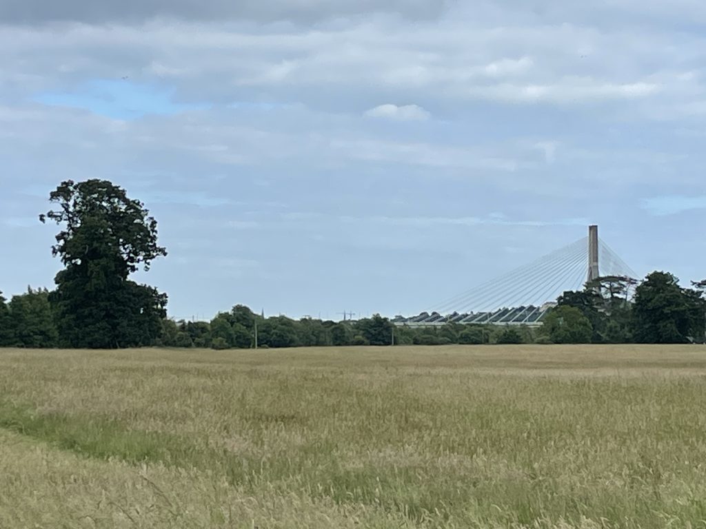
Battle of the Boyne
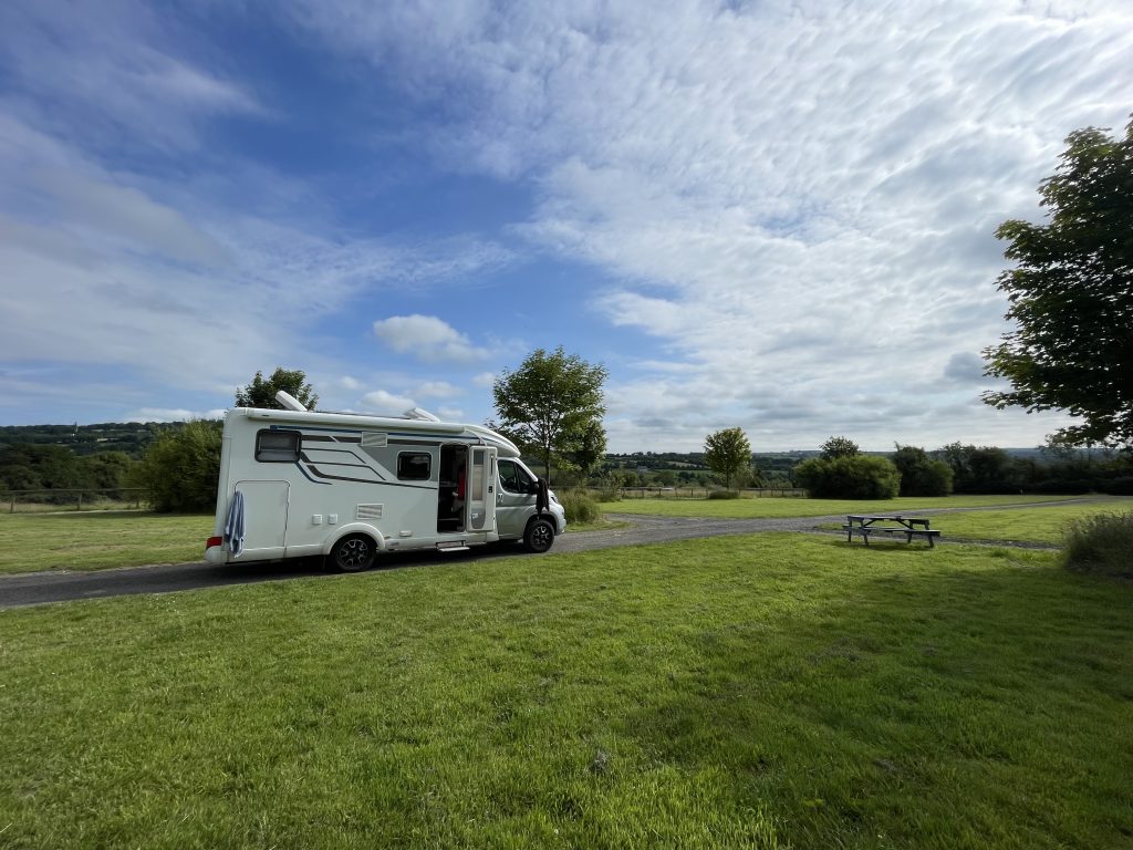
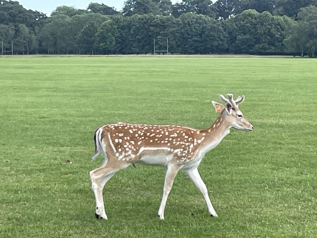
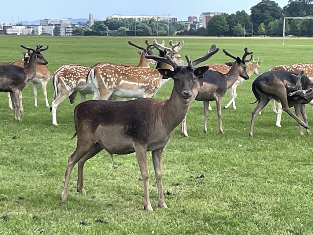
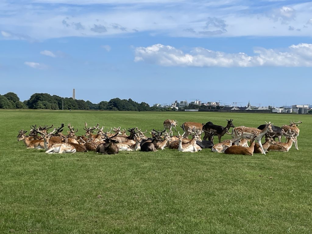
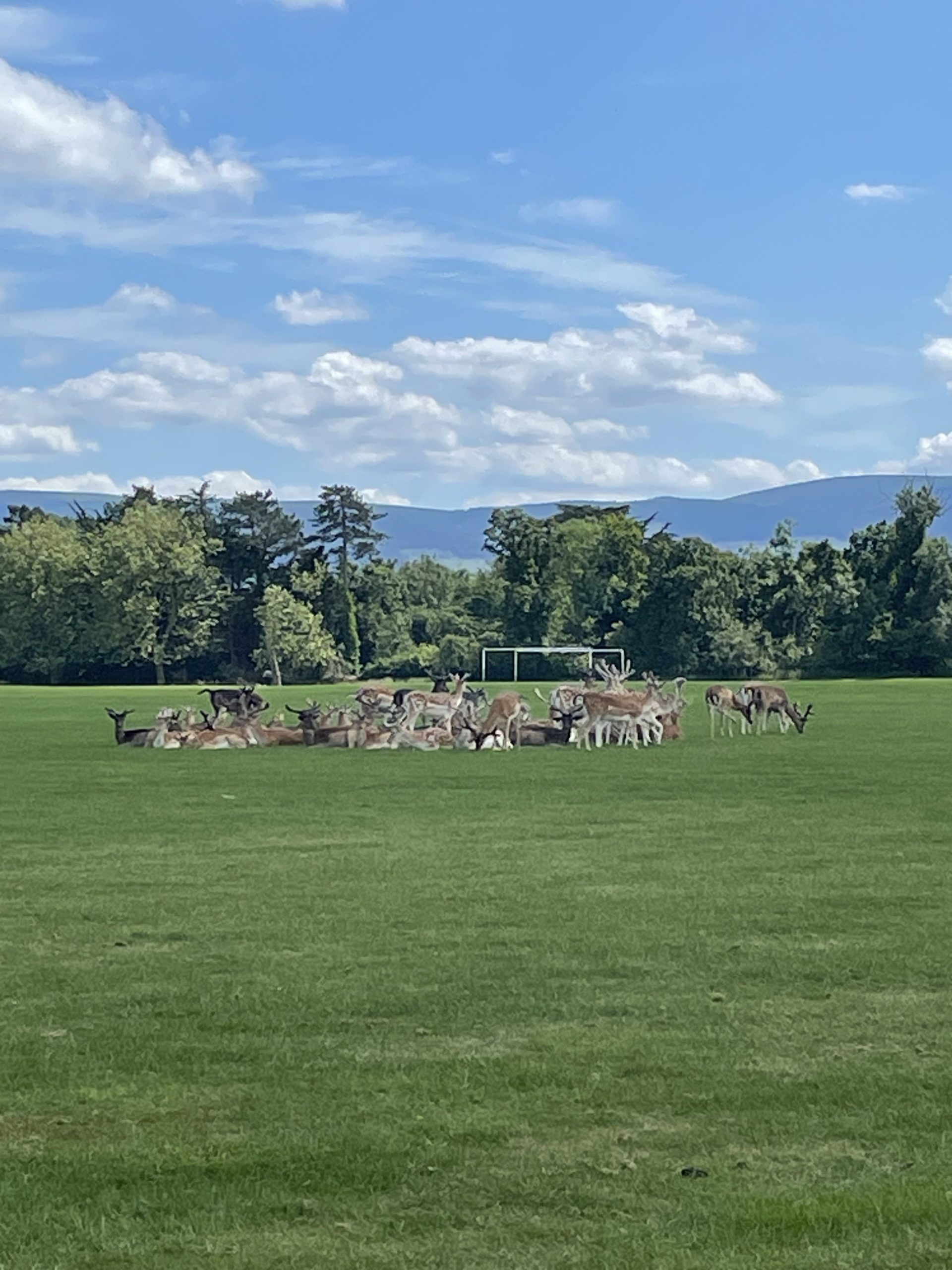
It can be a bit crowded in Ireland!
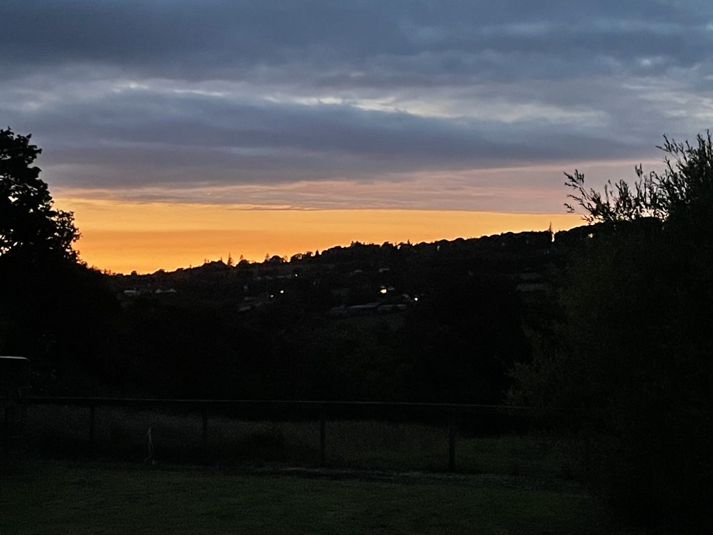
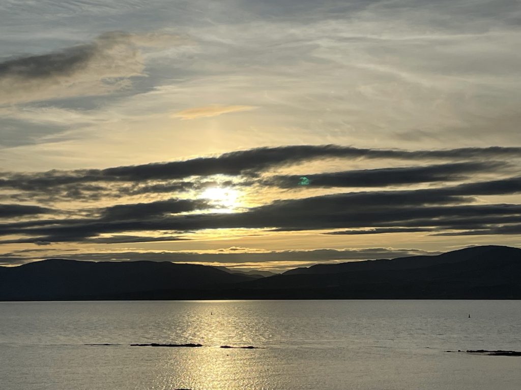
Sunset at 11.30pm
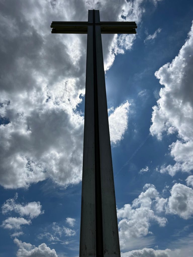
THANK YOU IRELAND, WE’VE HAD A BLAST, SEE YOU AGAIN SOON!


Battle of the Boyne


It can be a bit crowded in Ireland!
Sunset at 11.30pm


THANK YOU IRELAND, WE’VE HAD A BLAST, SEE YOU AGAIN SOON!

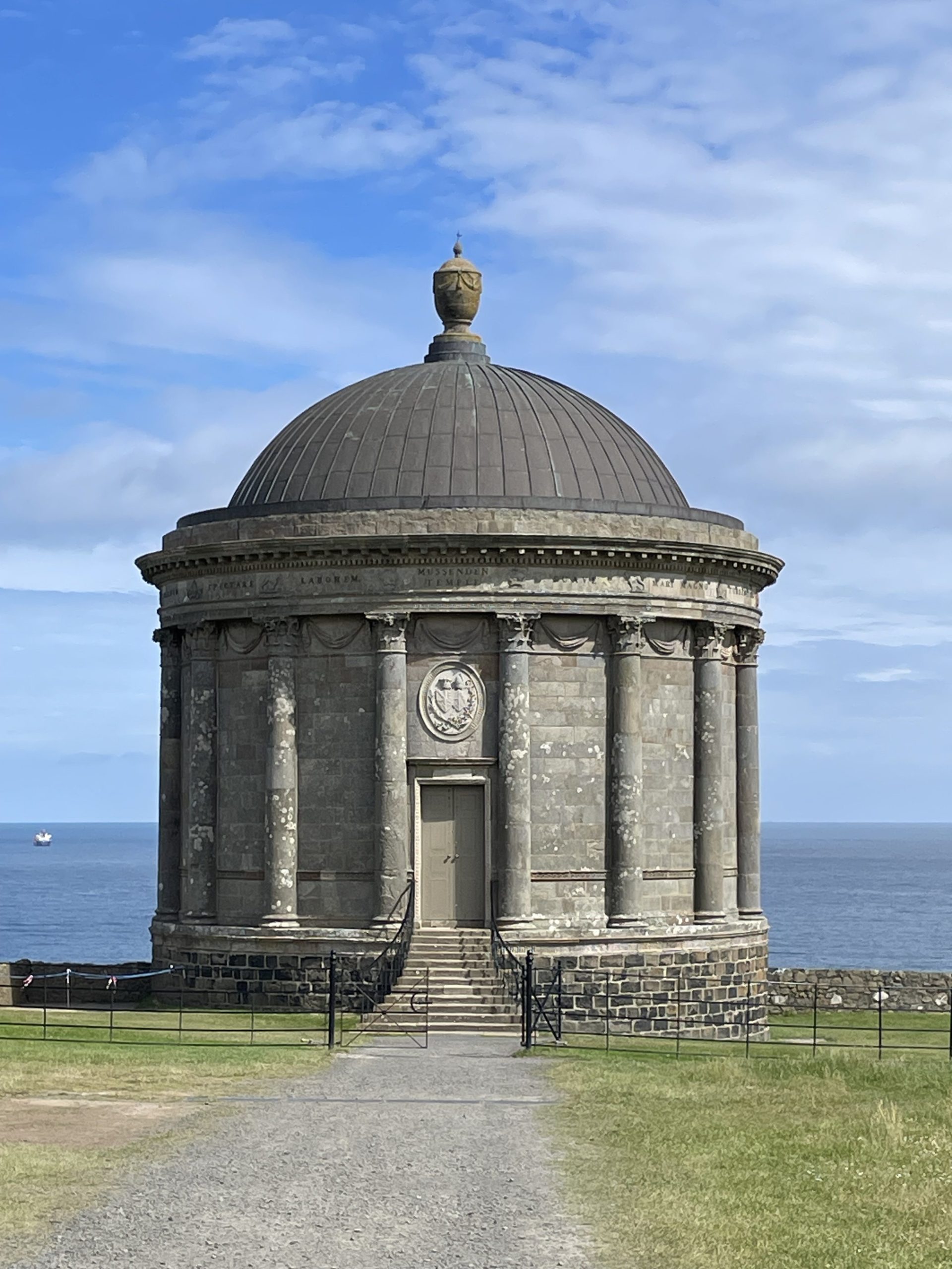
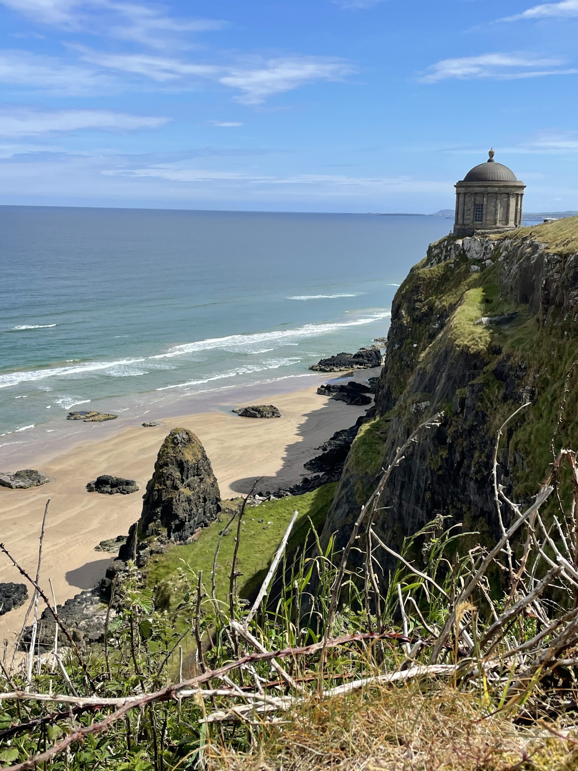
Mussenden Temple & Co Derry Coastline
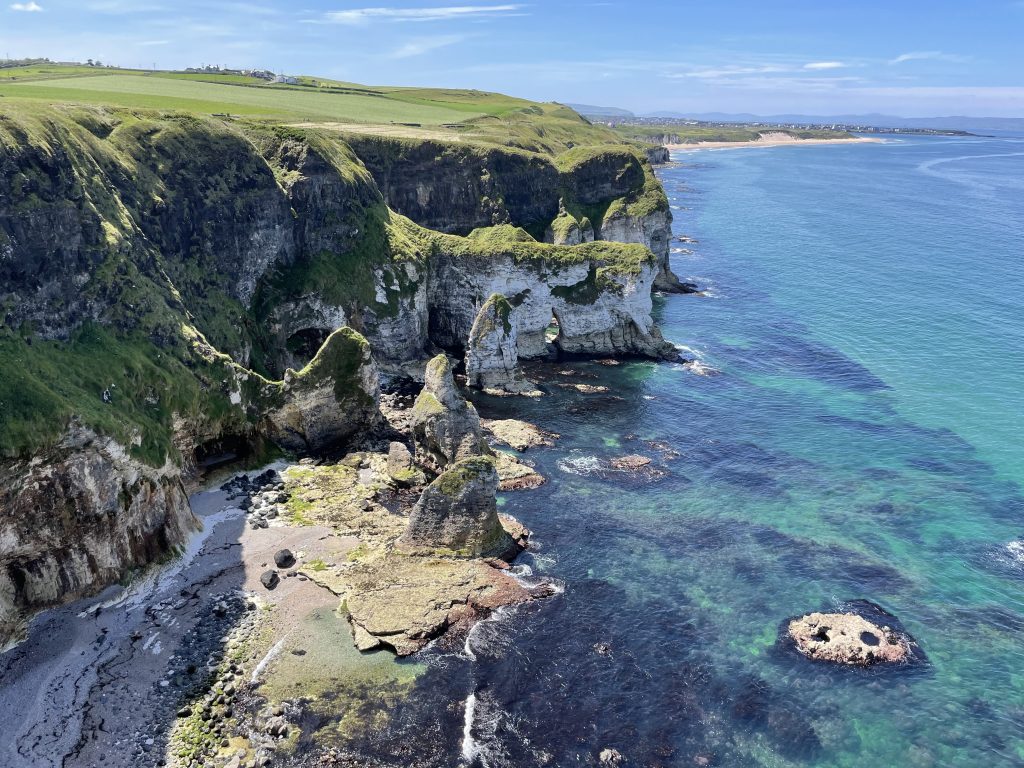
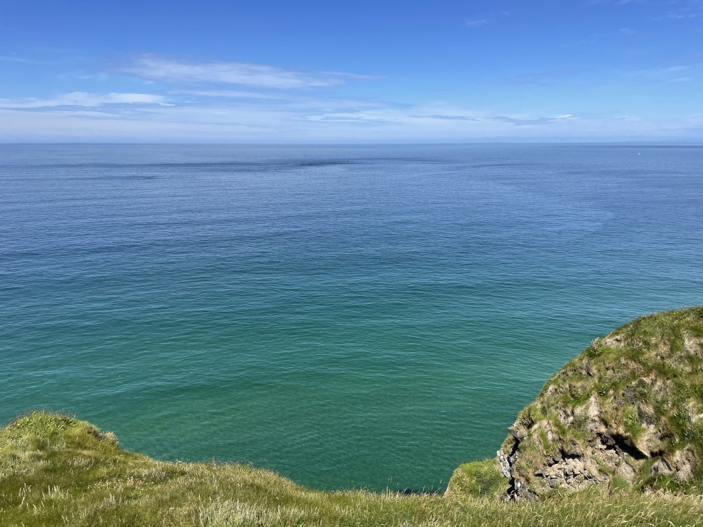

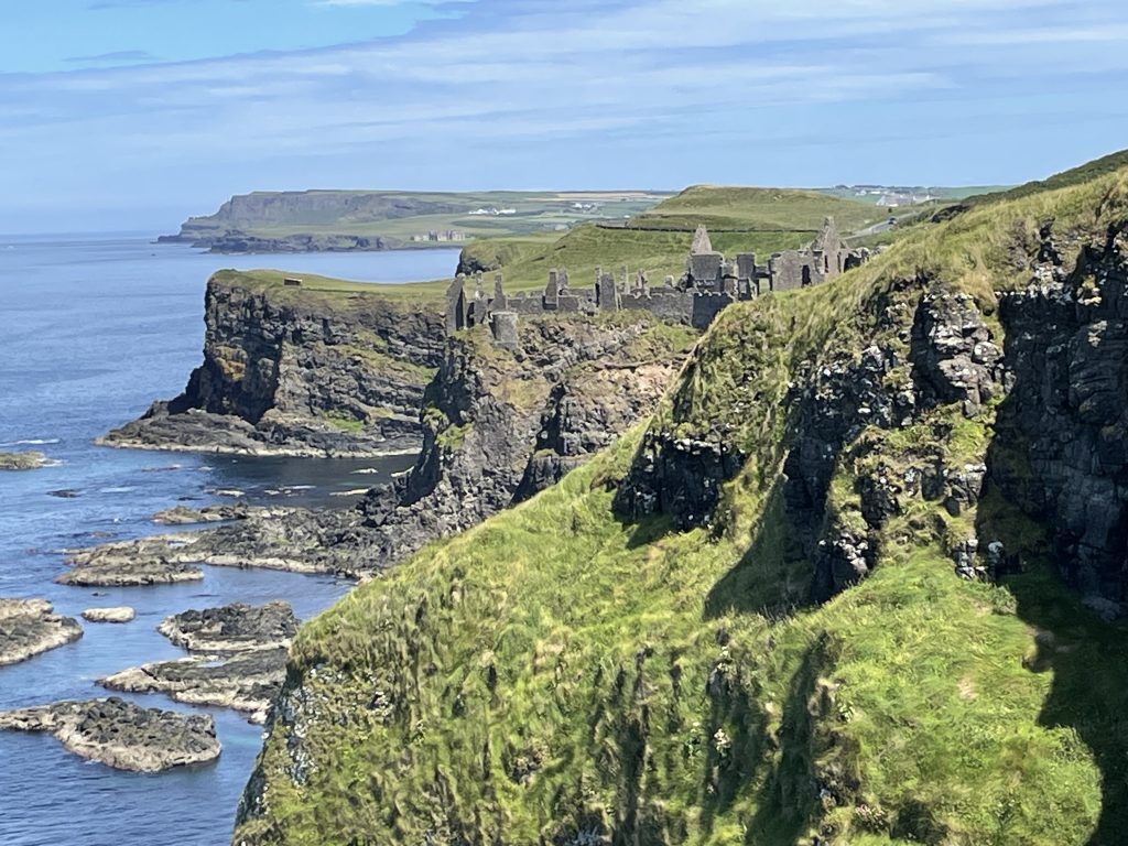
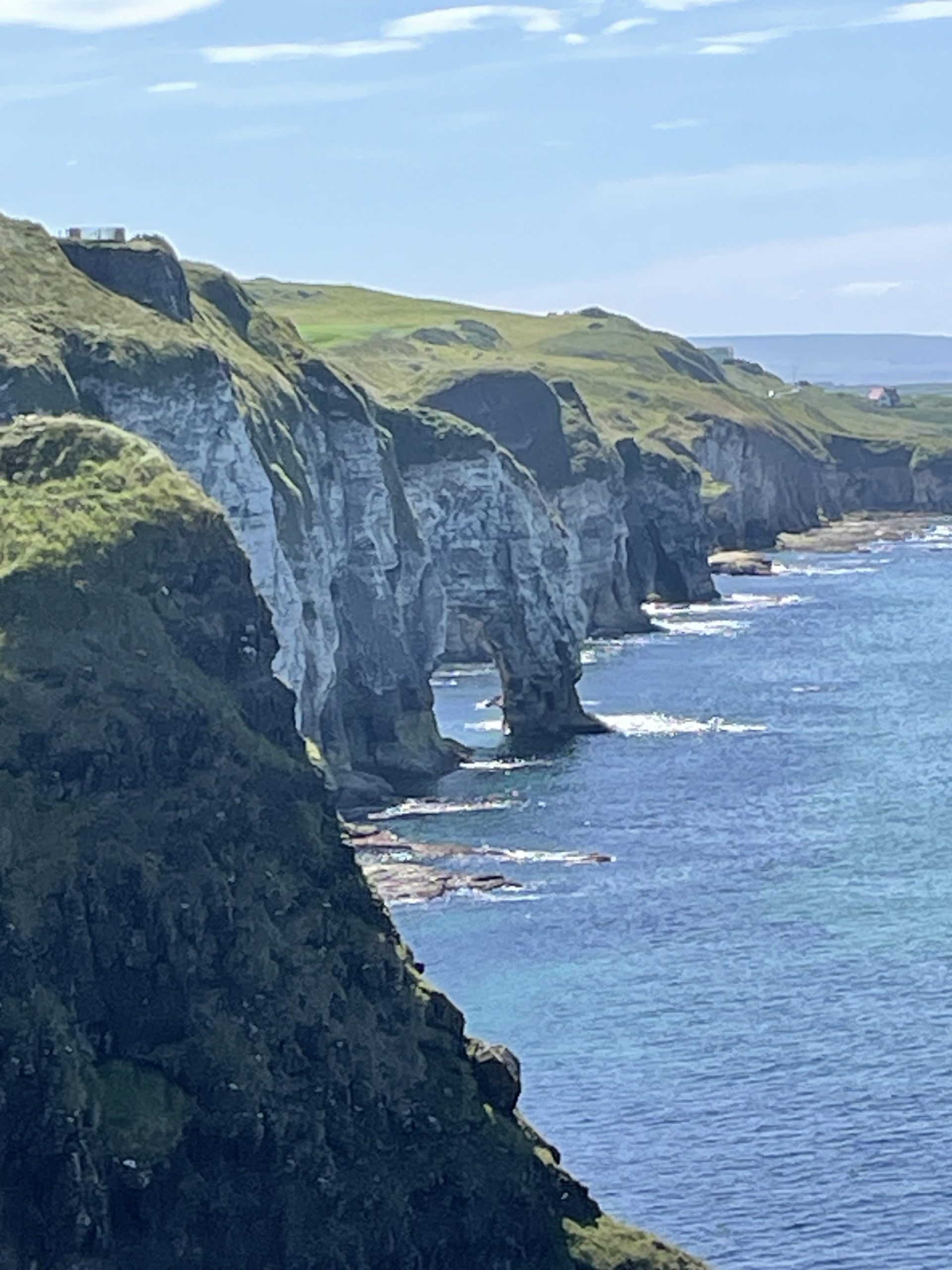
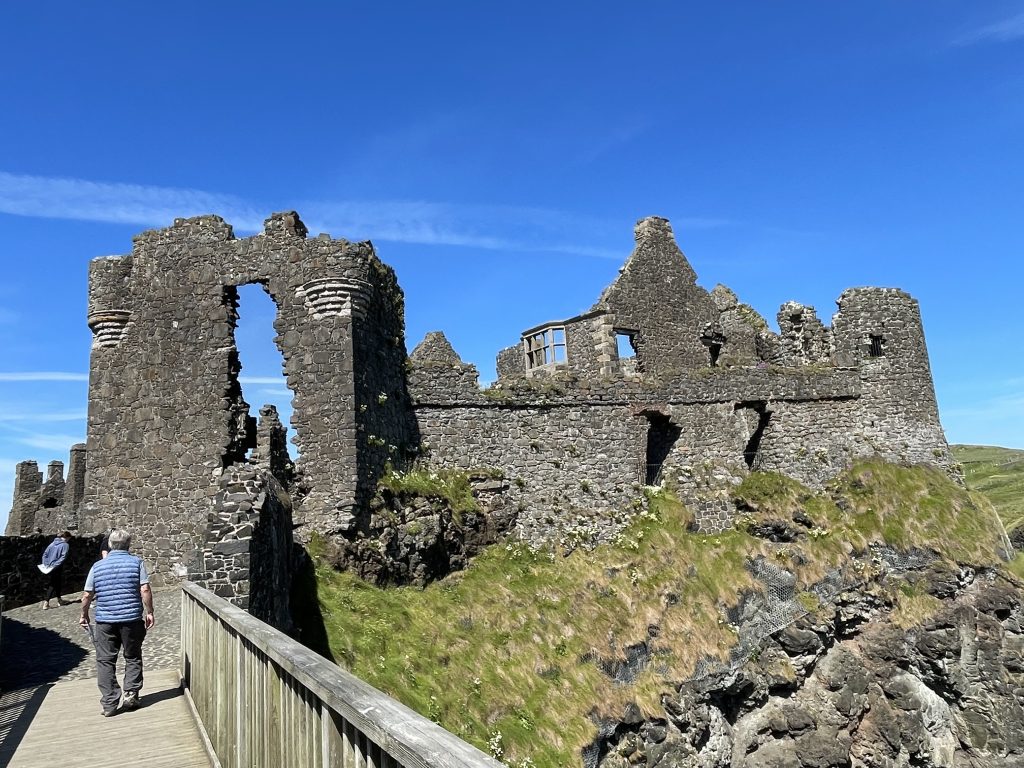

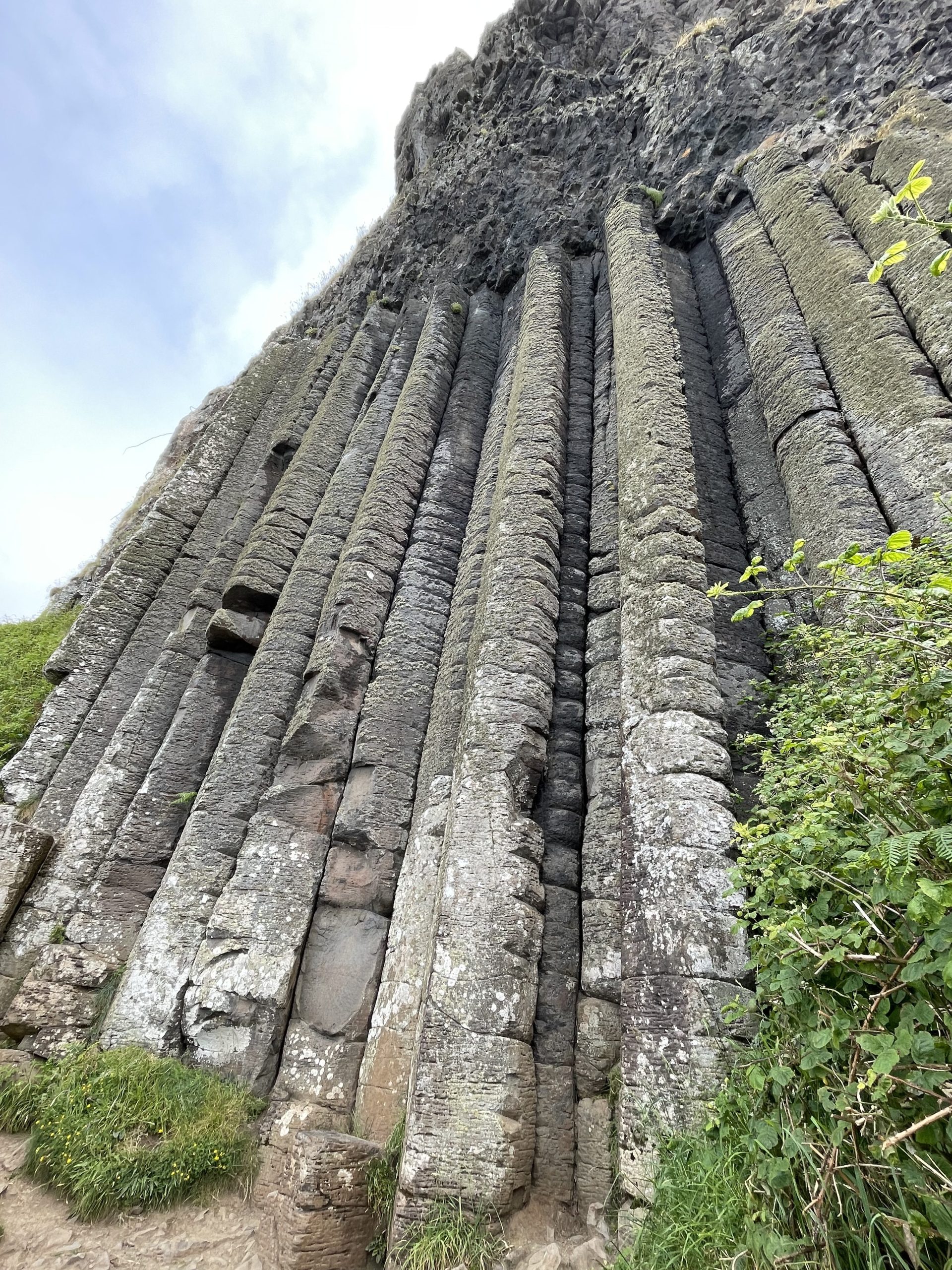
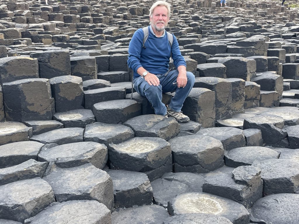
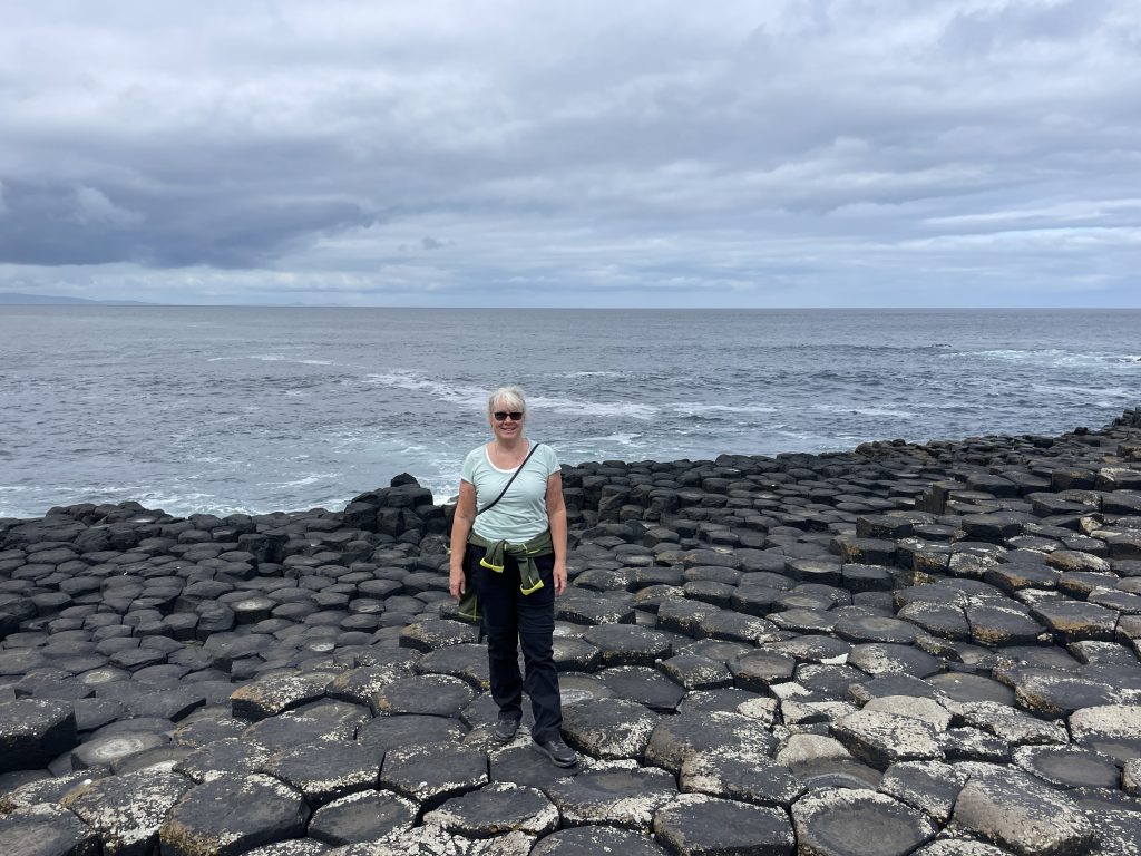
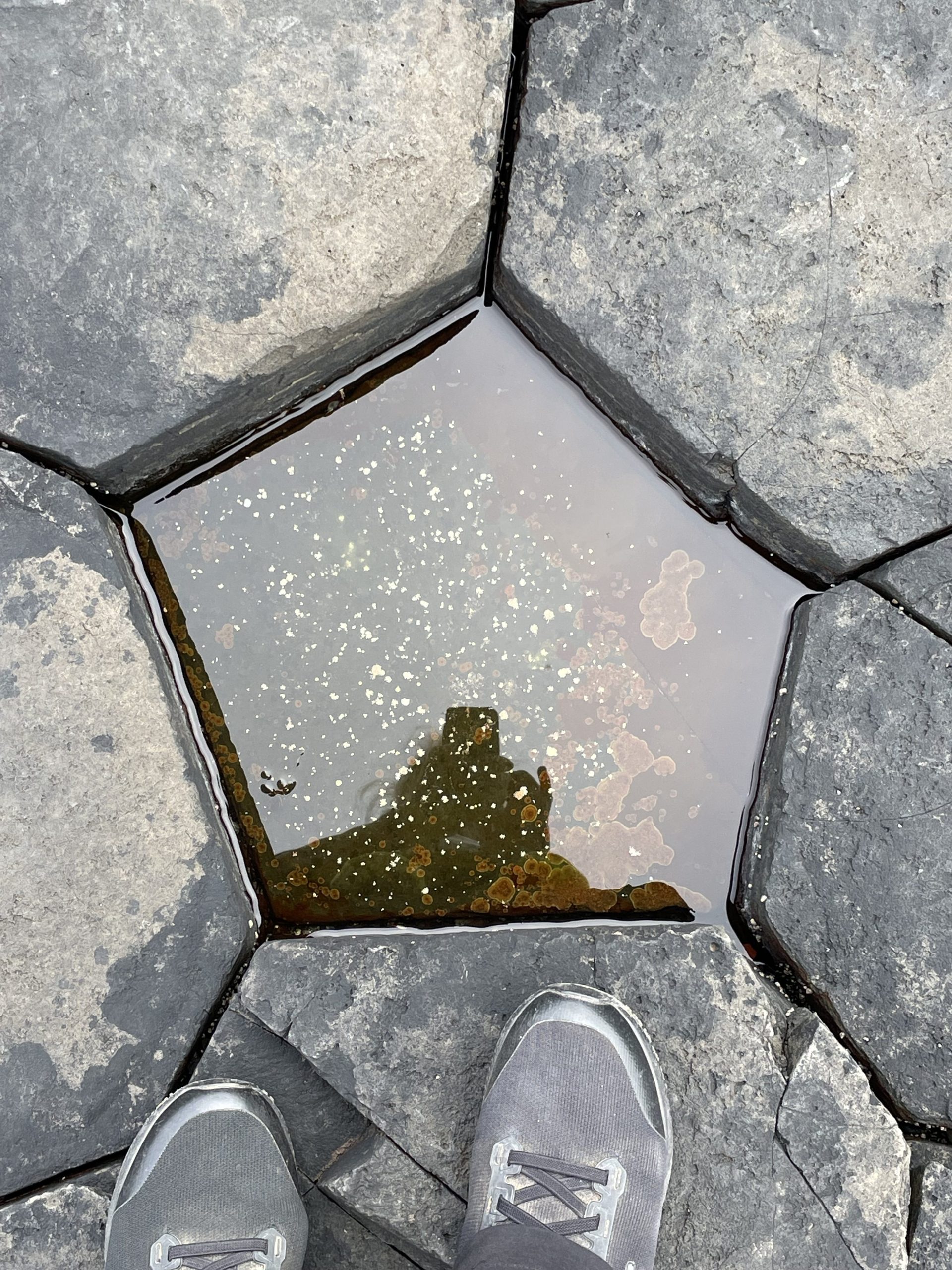

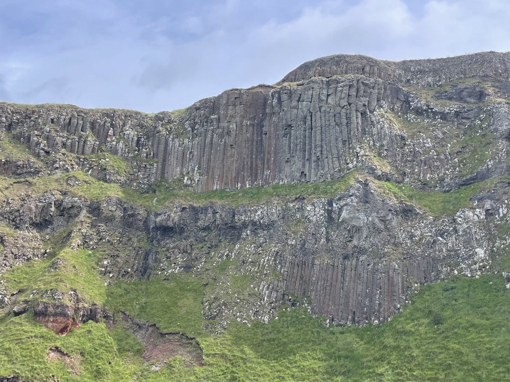
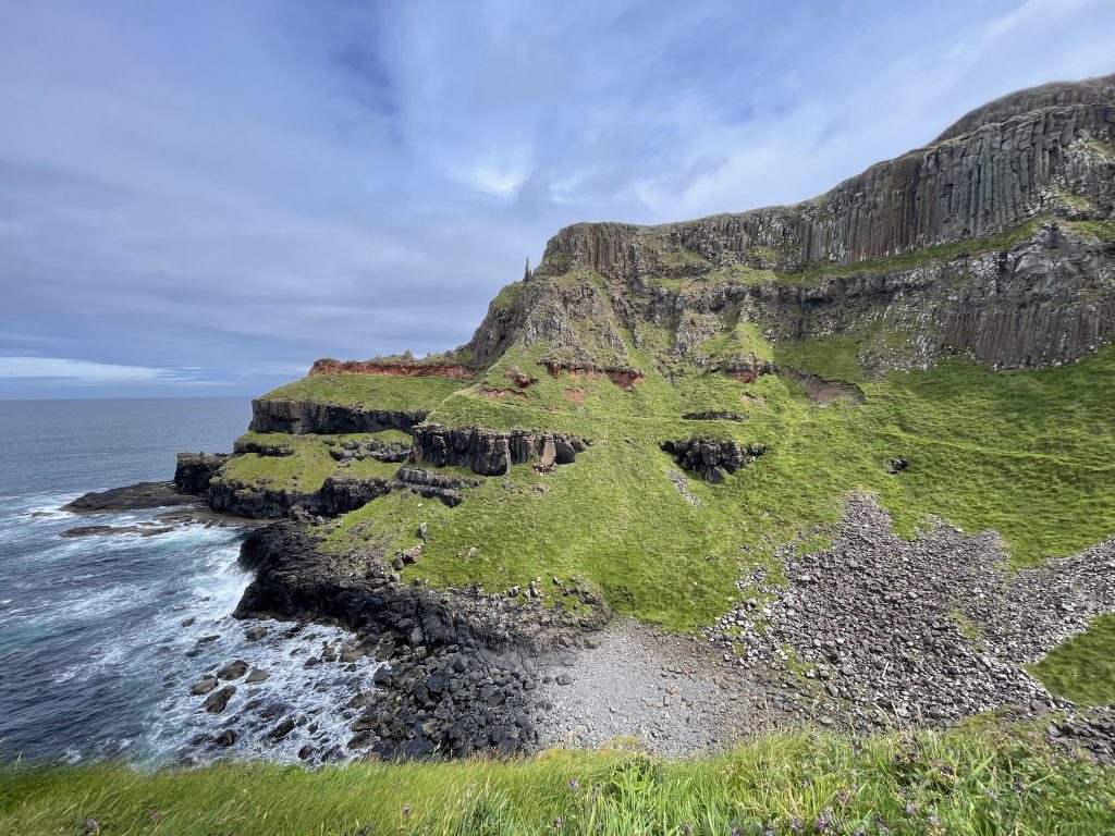

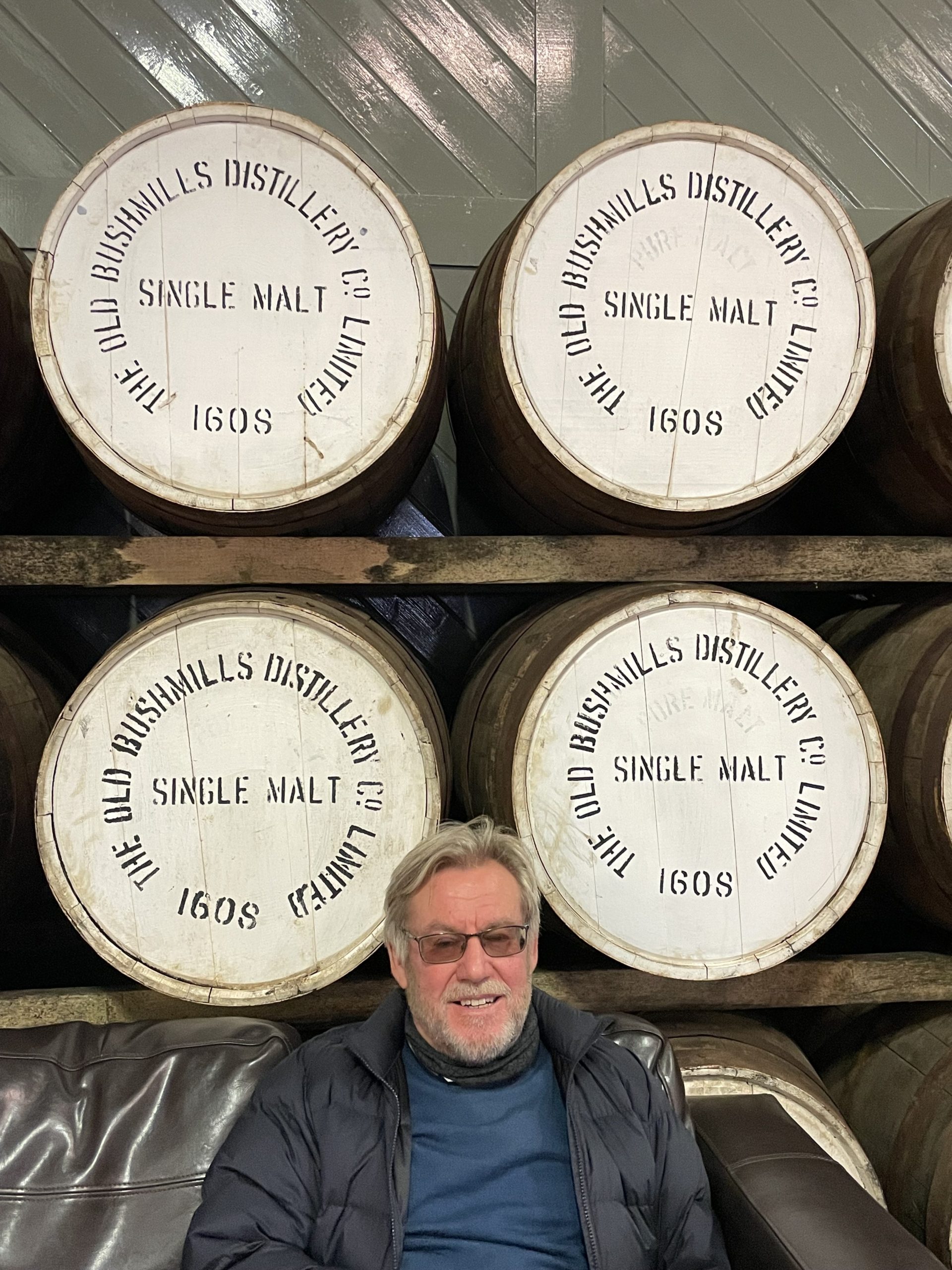
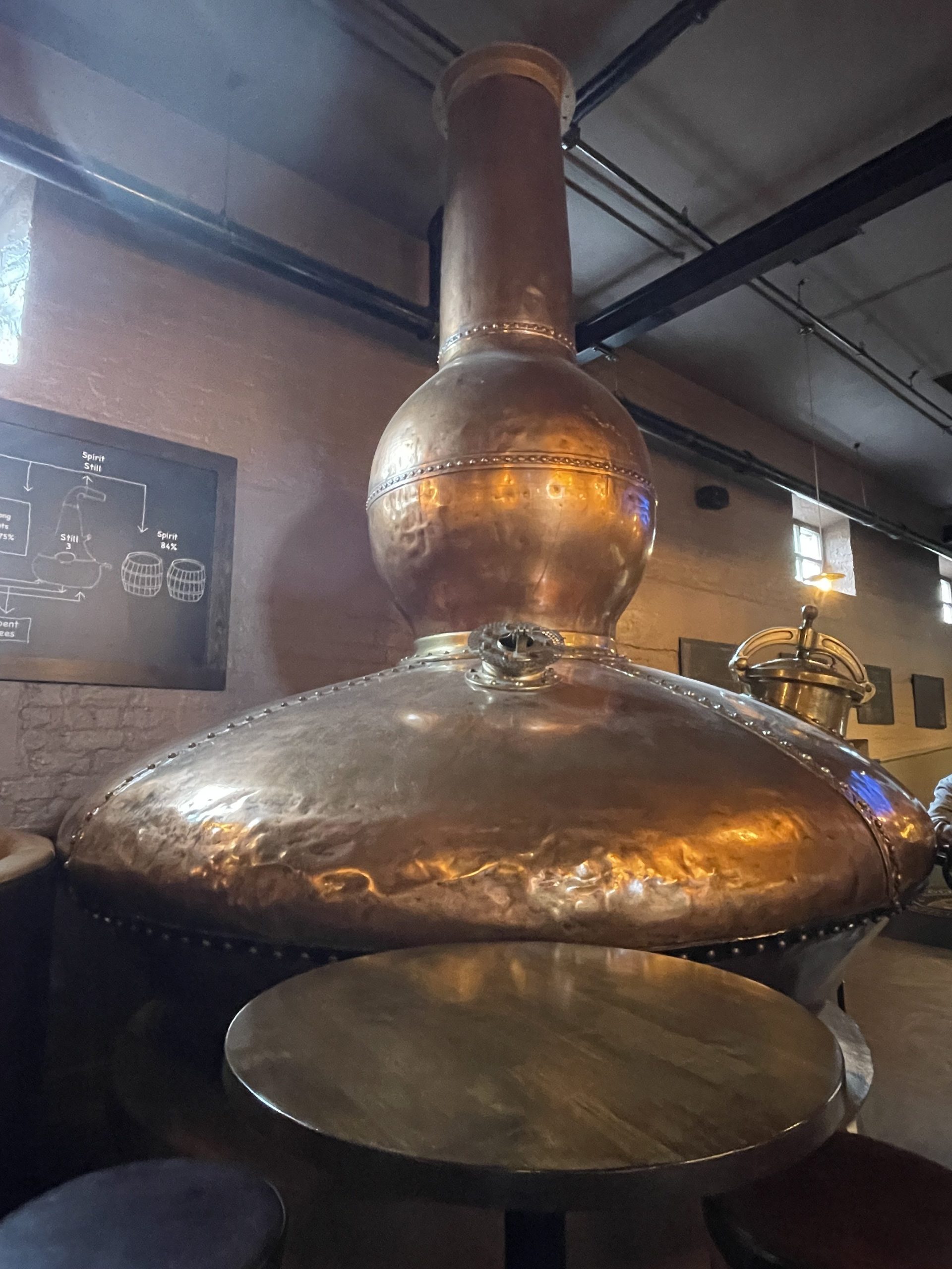
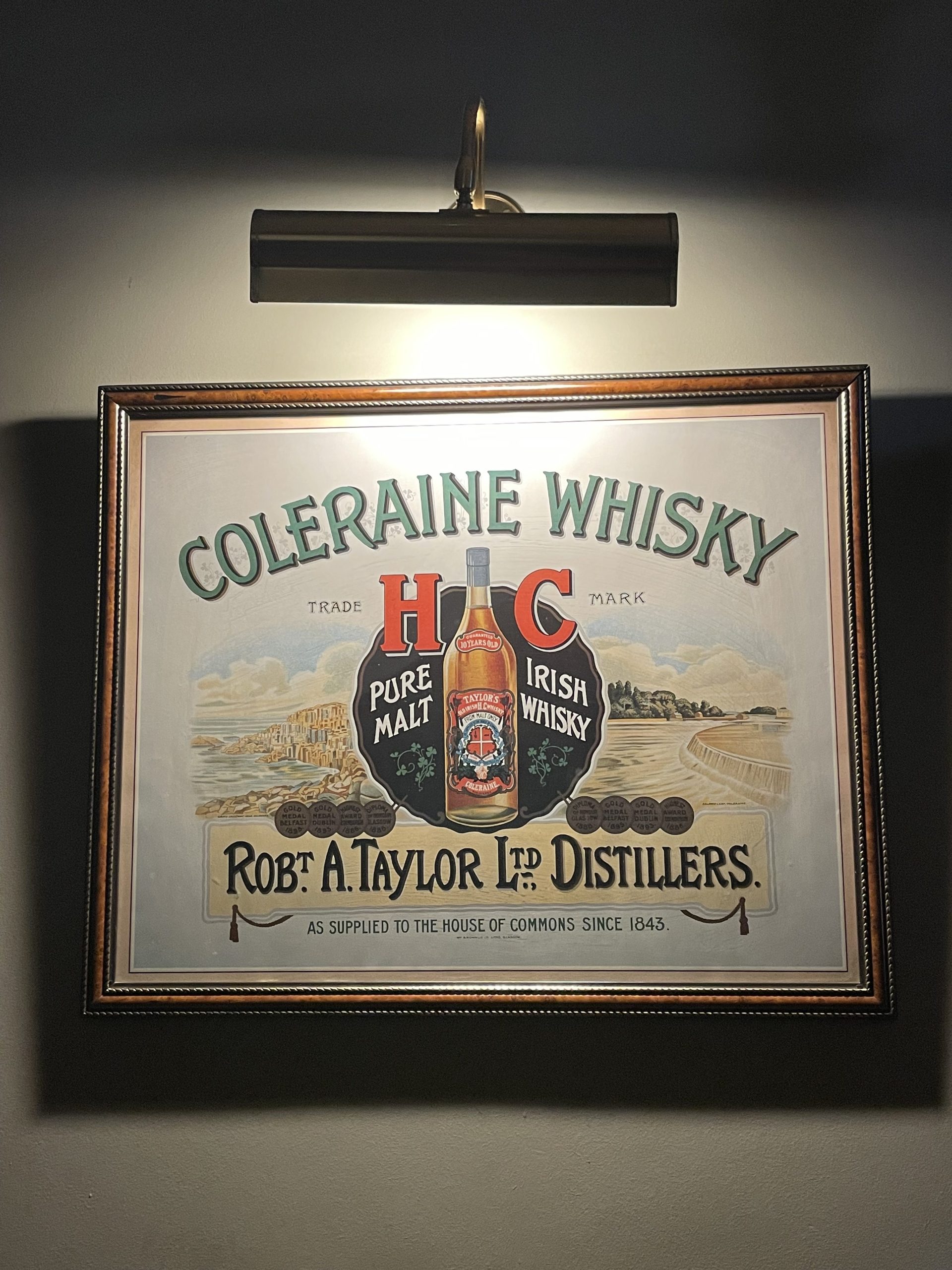
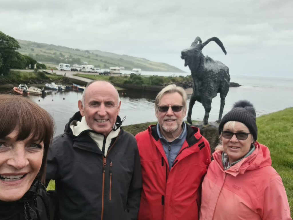
Enjoying the craic with Marjorie & Stephen at Cushendun & Glenarm on the Antrim coast
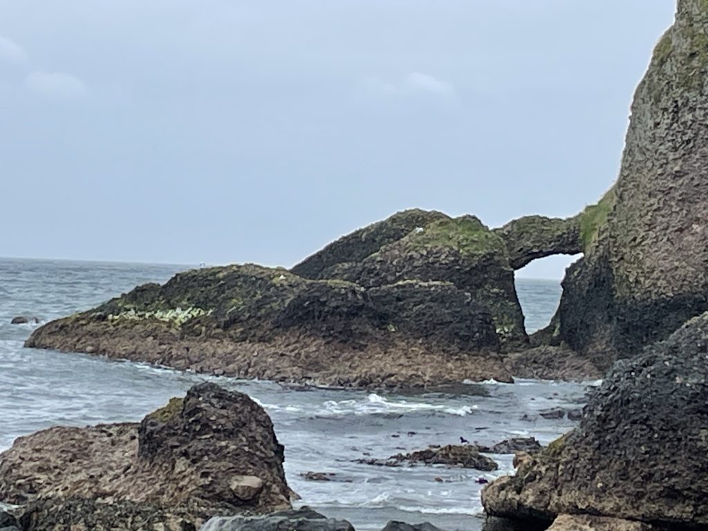
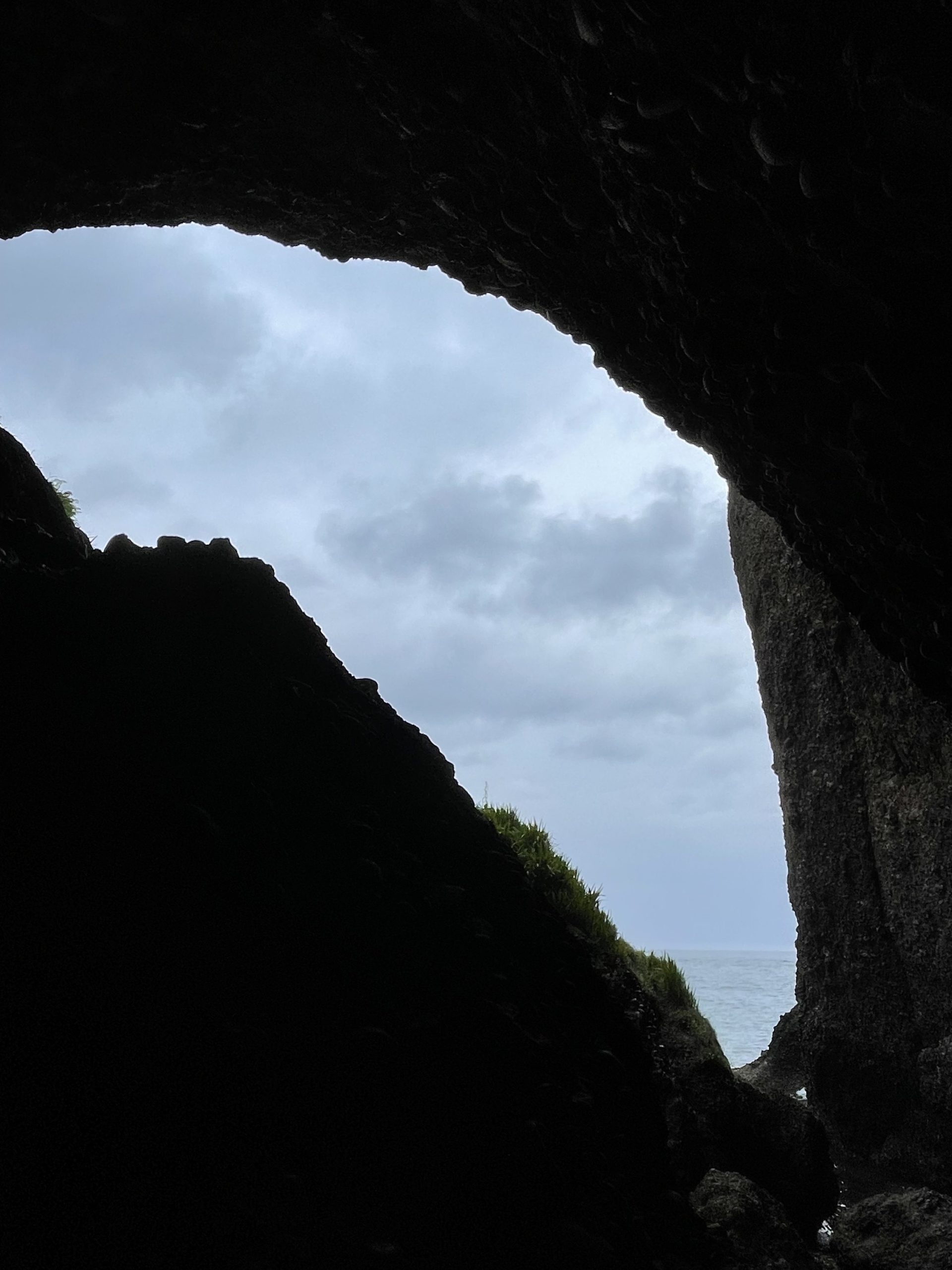
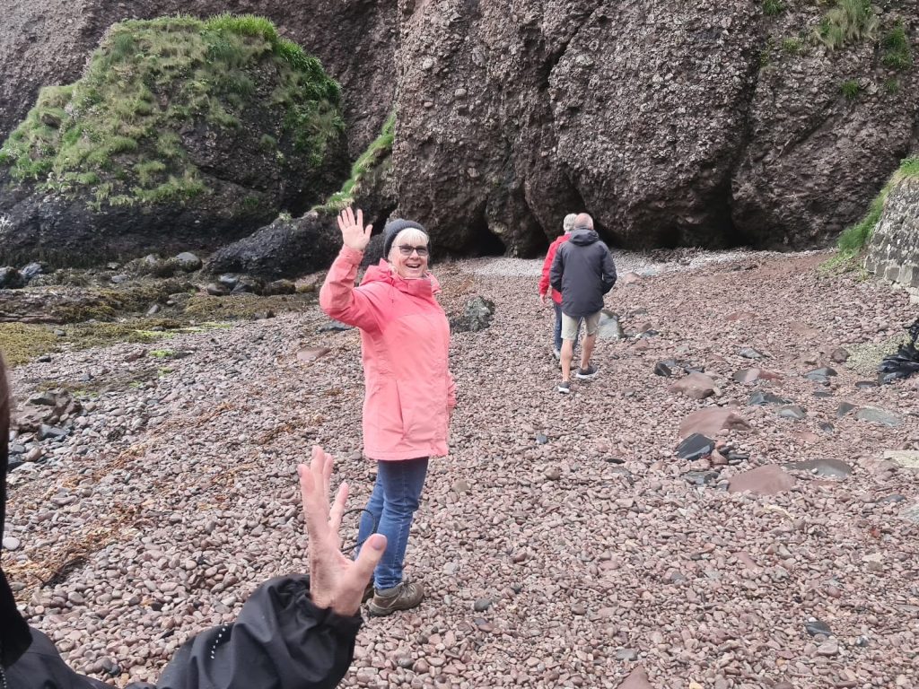
Heading for Game of Thrones cave
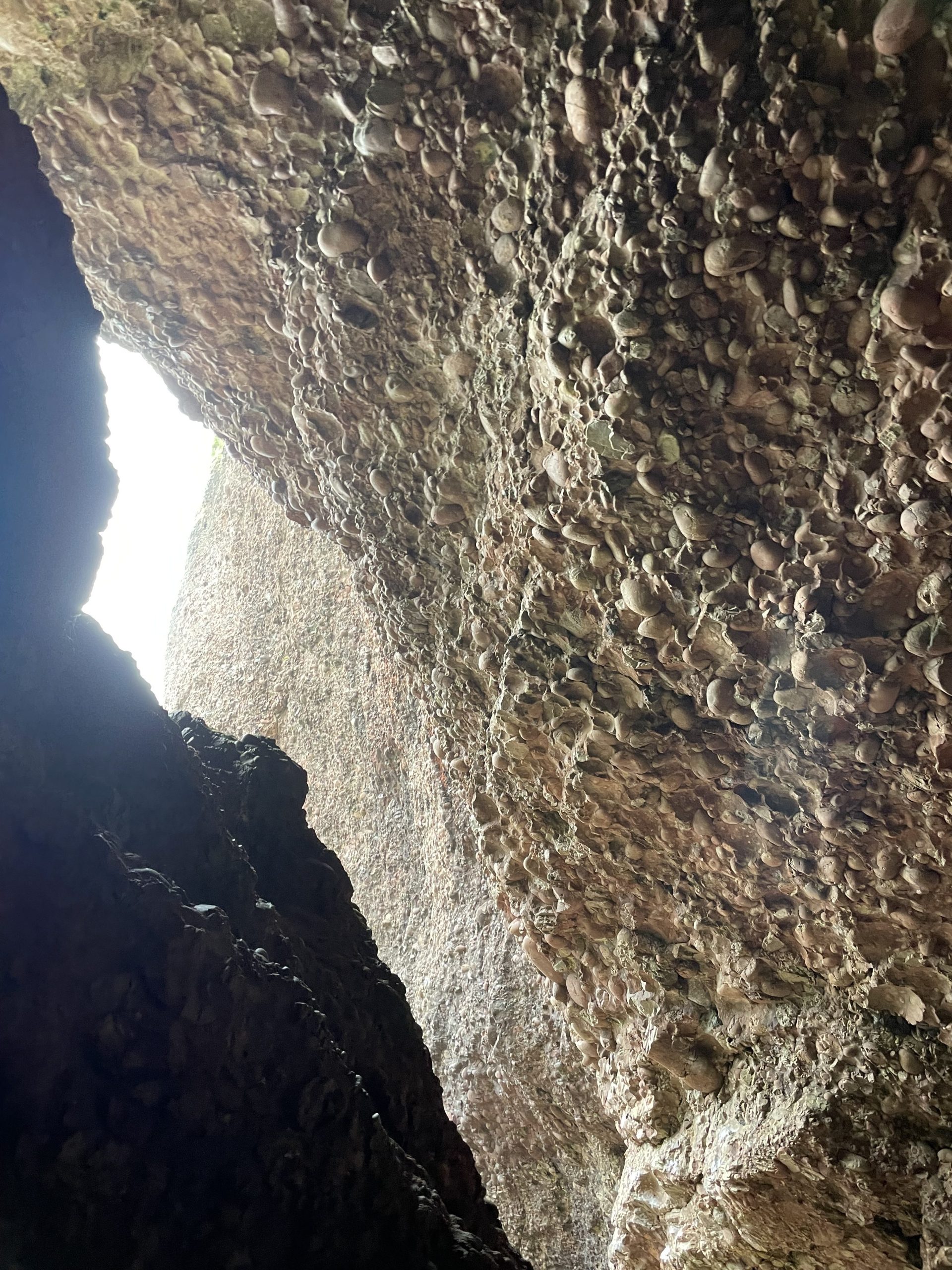
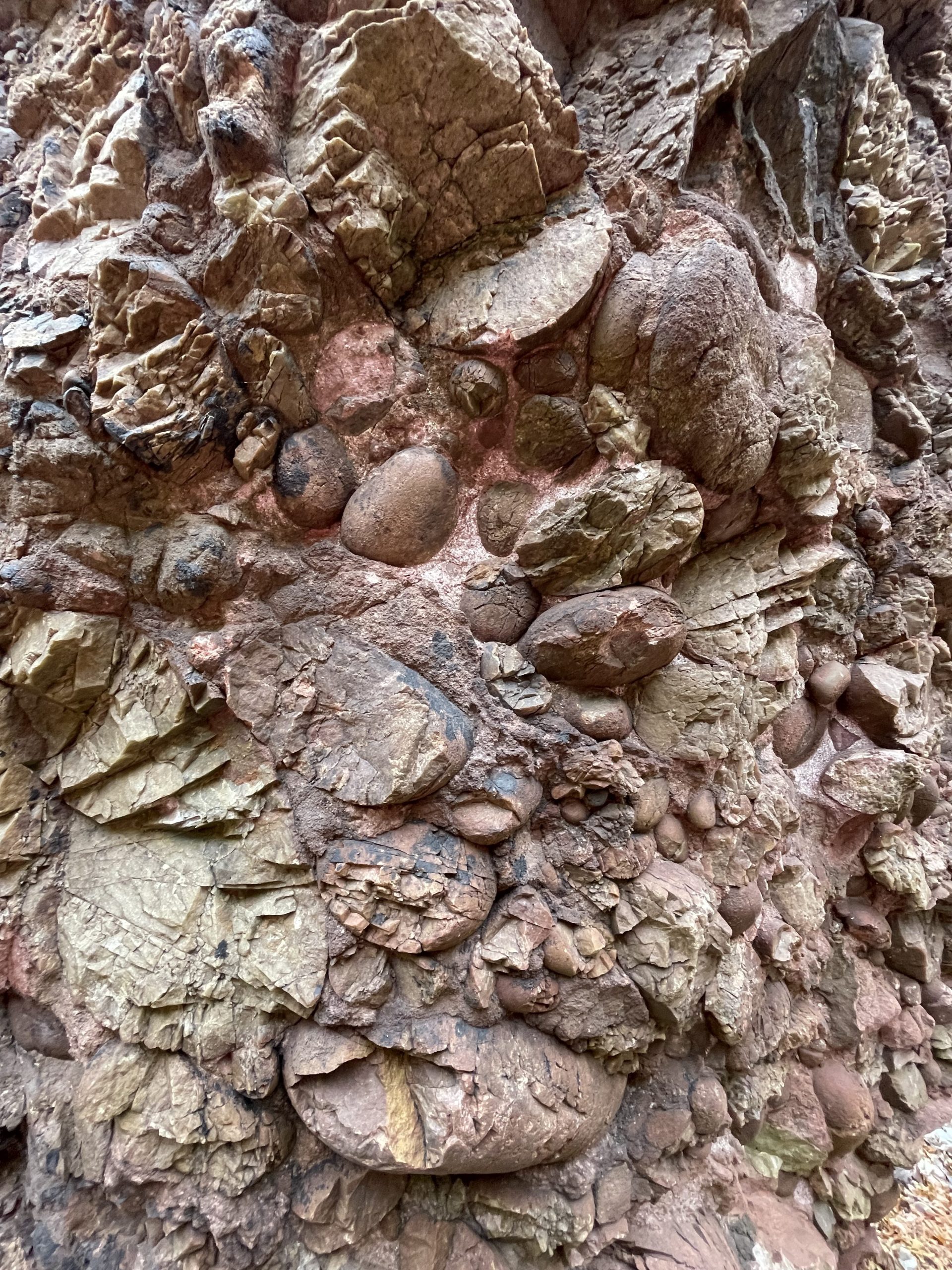
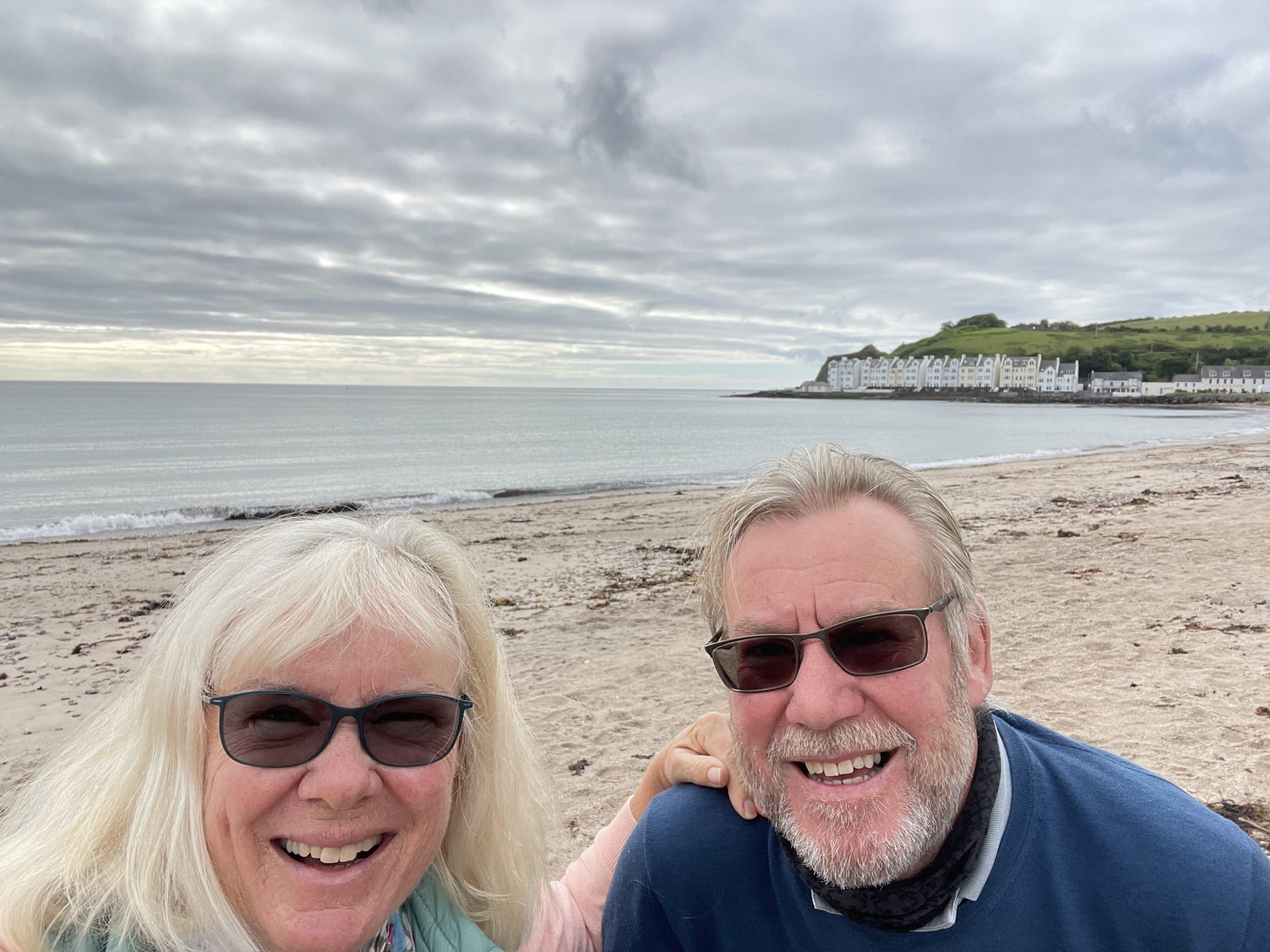
Cushendun Beach
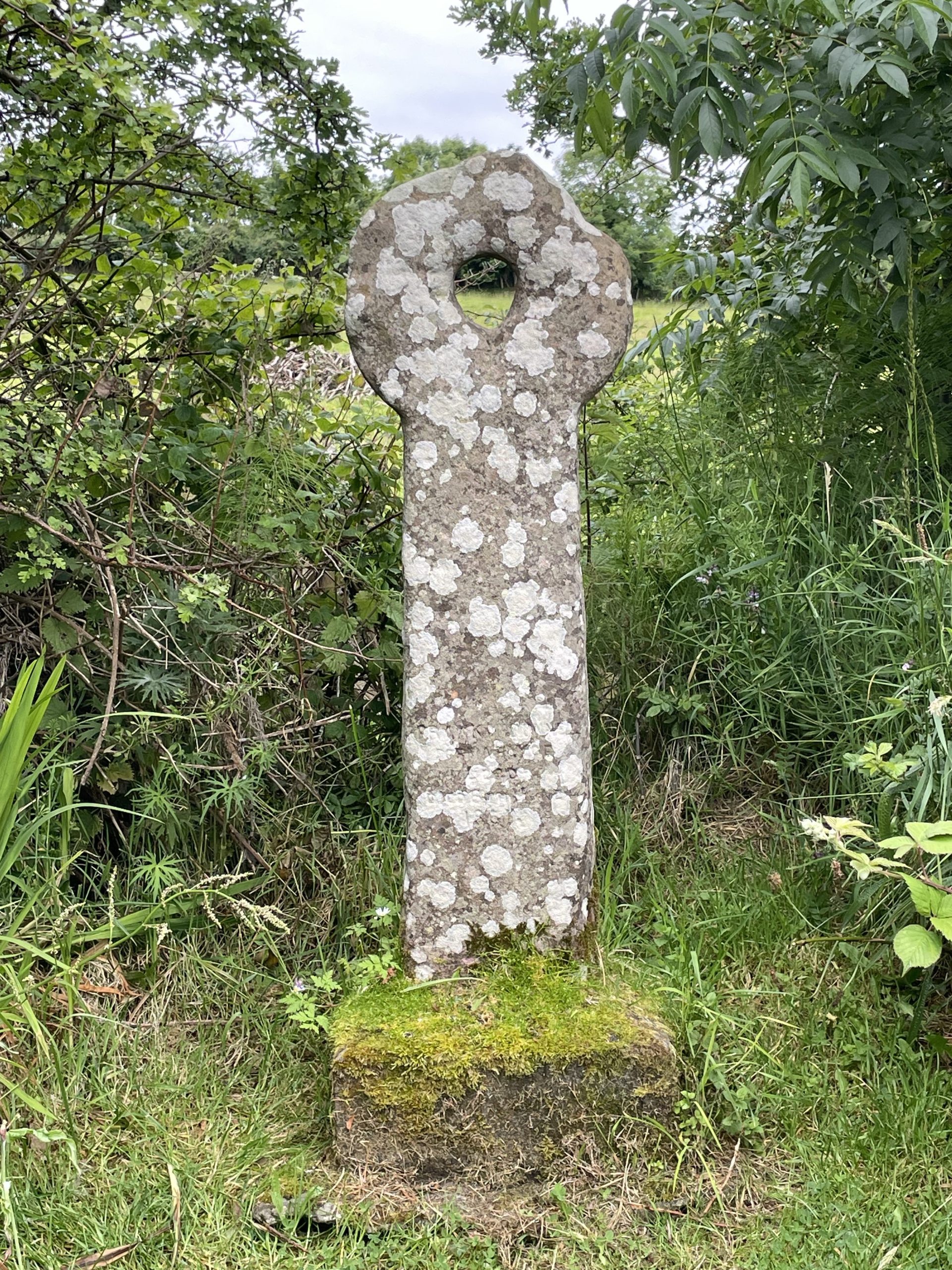
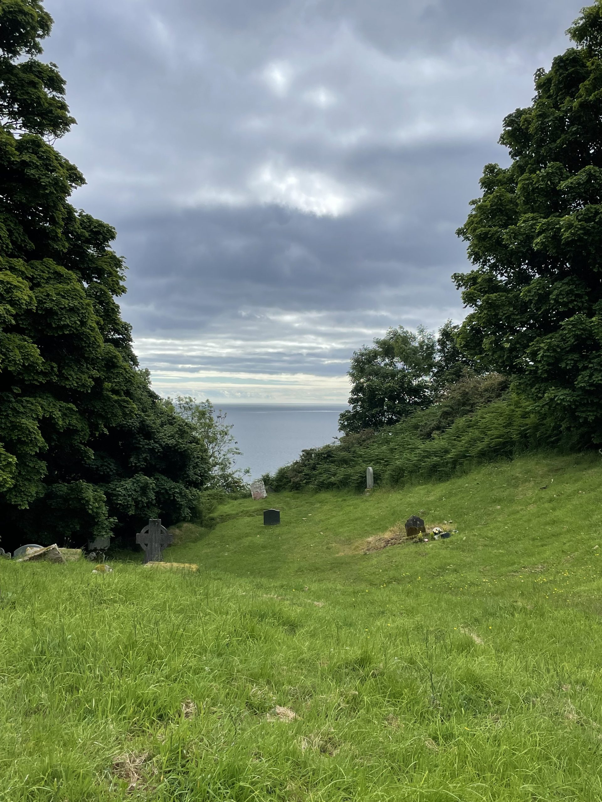
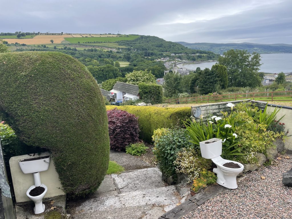
Loo with a view of Glenarm Bay
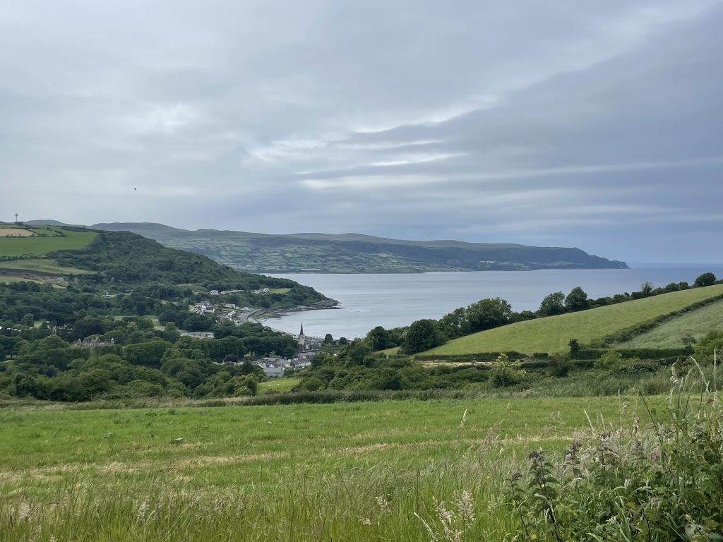
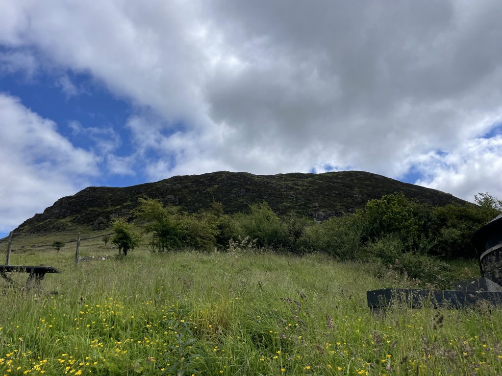
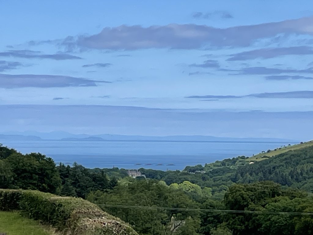
Mt Slemish & view from summit over Irish Sea to Mull of Kintyre
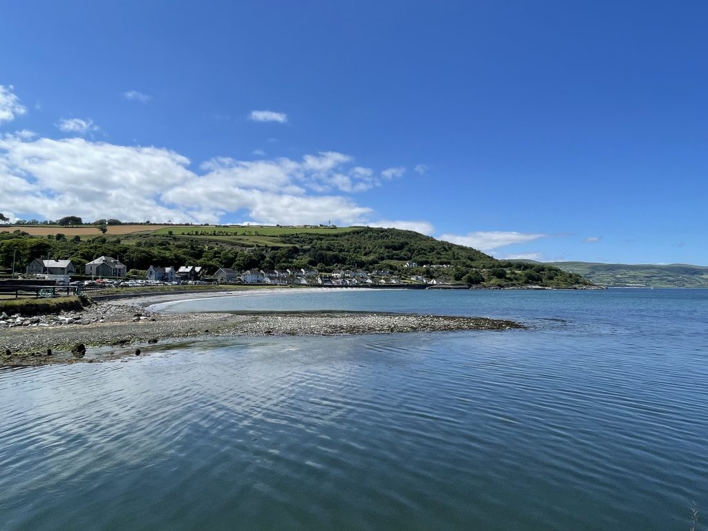
Glenarm Bay
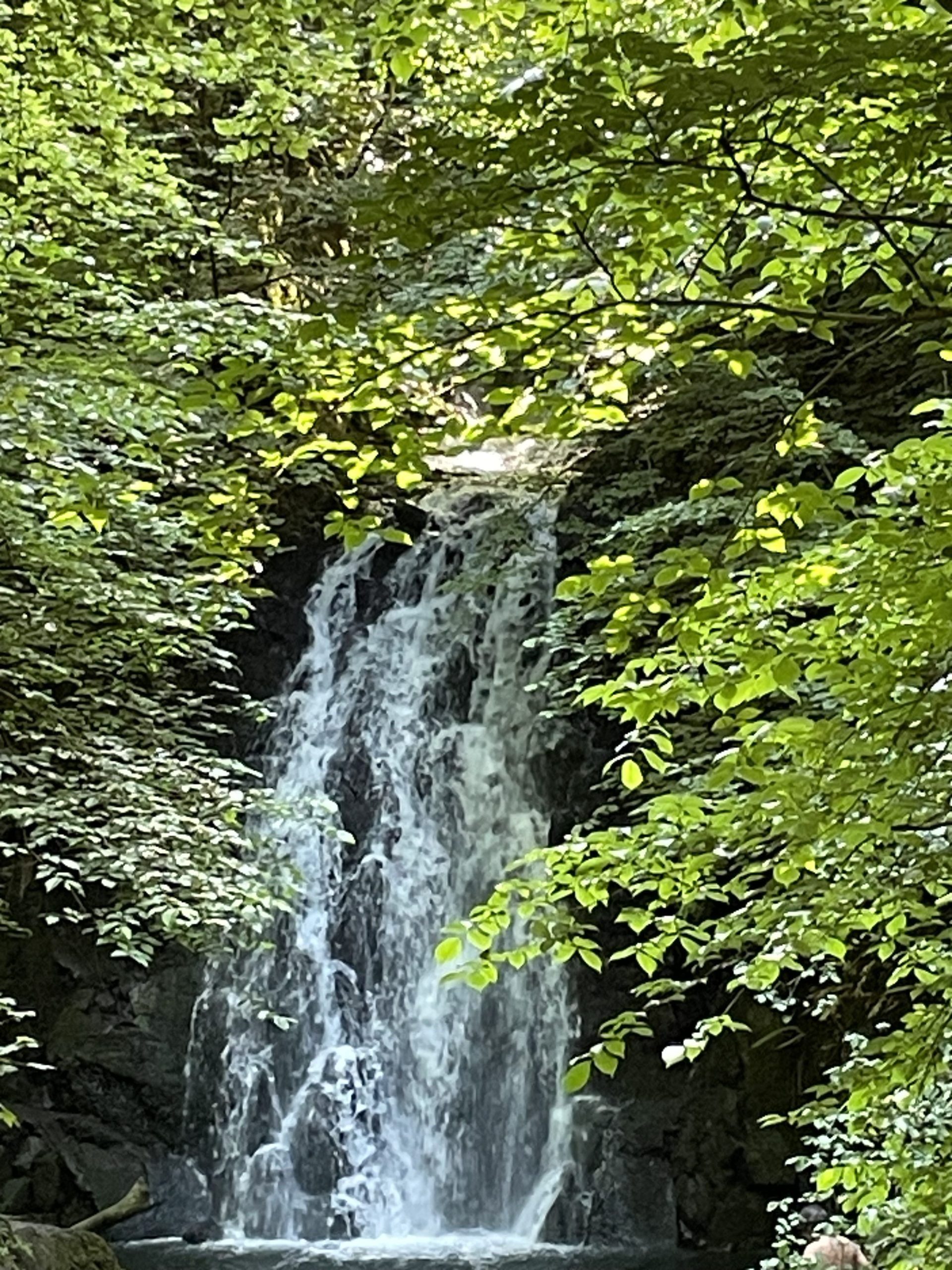
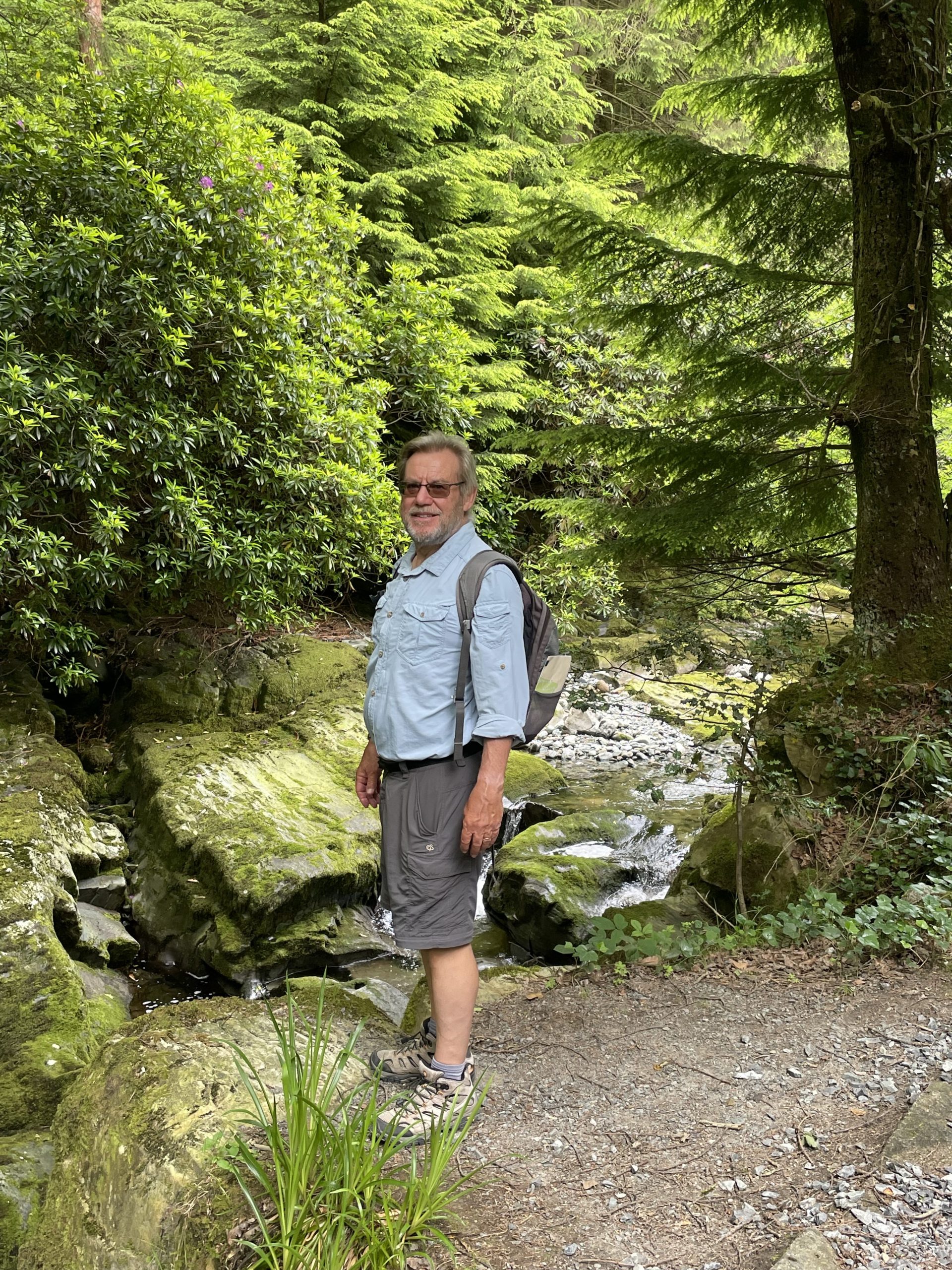
Gleno Waterfall
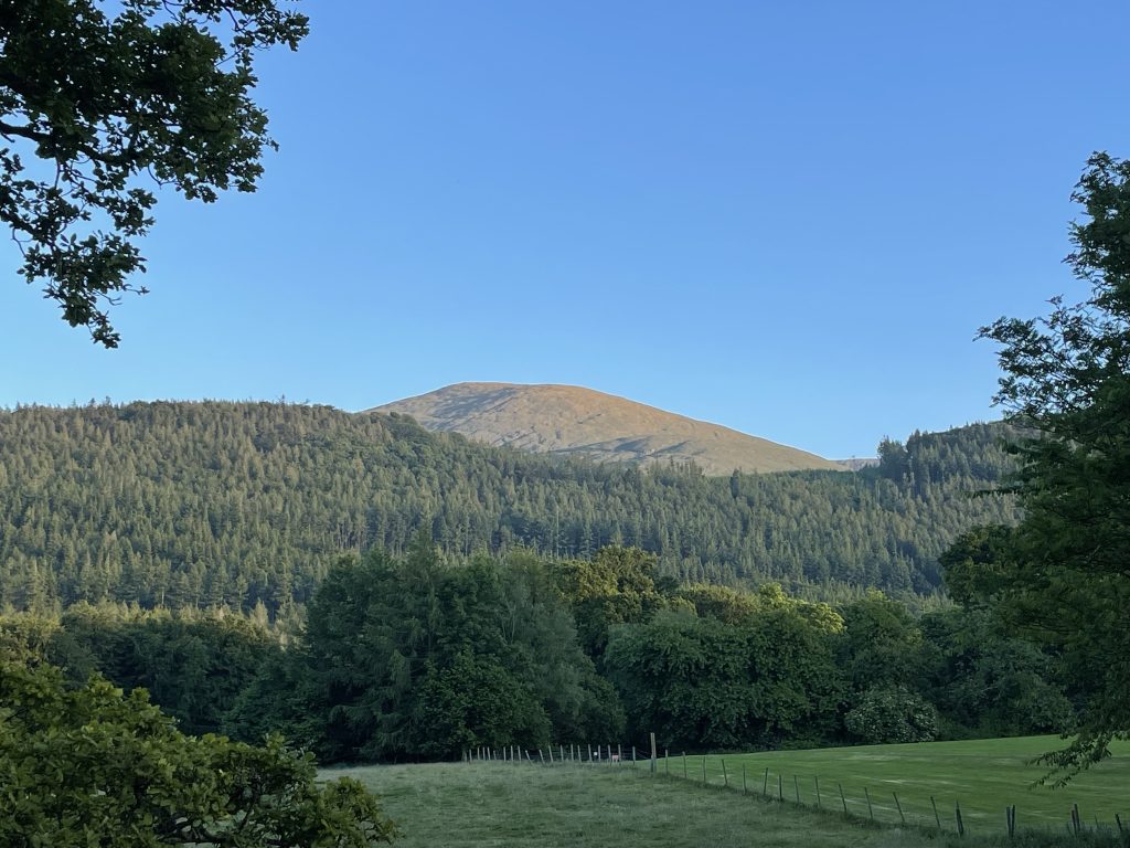
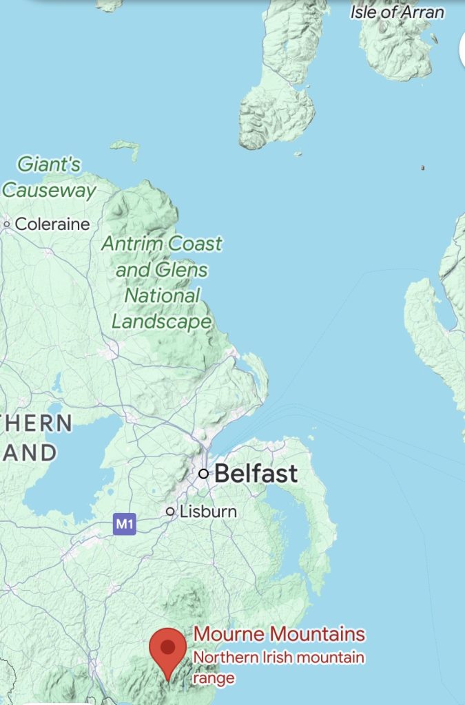
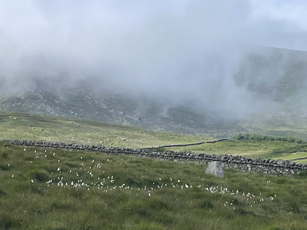
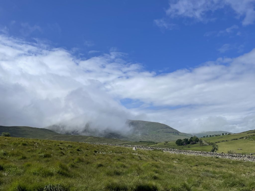
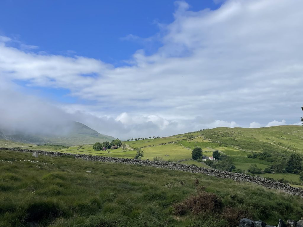
Mourne Mountains
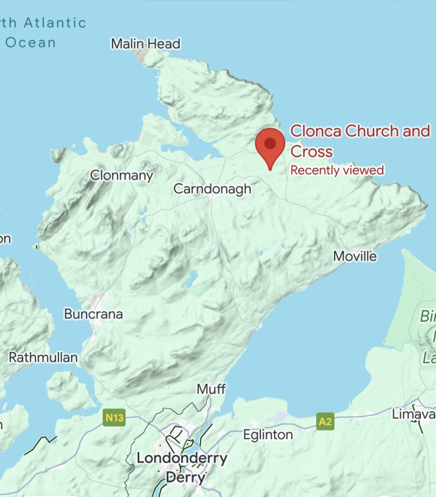
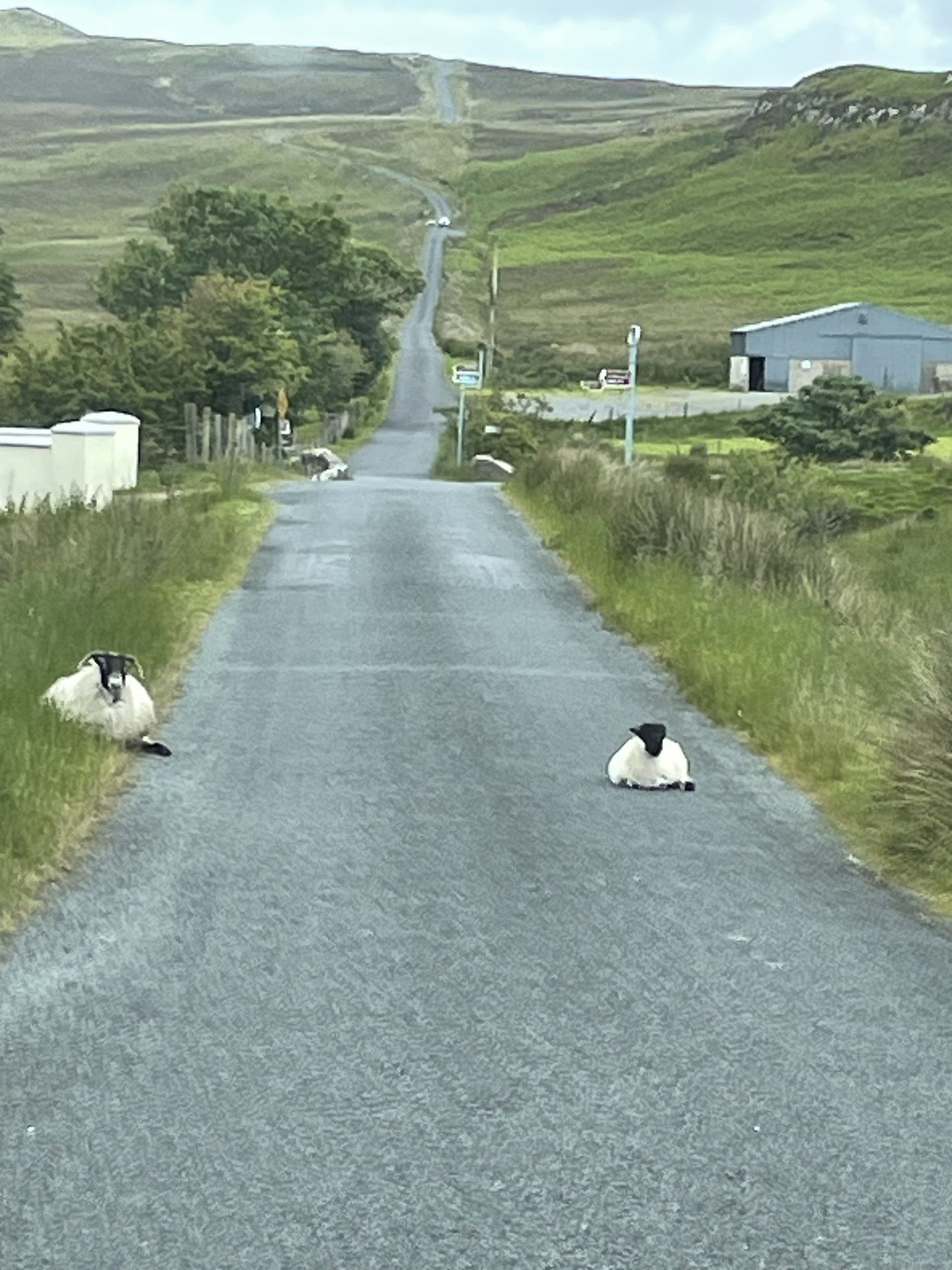
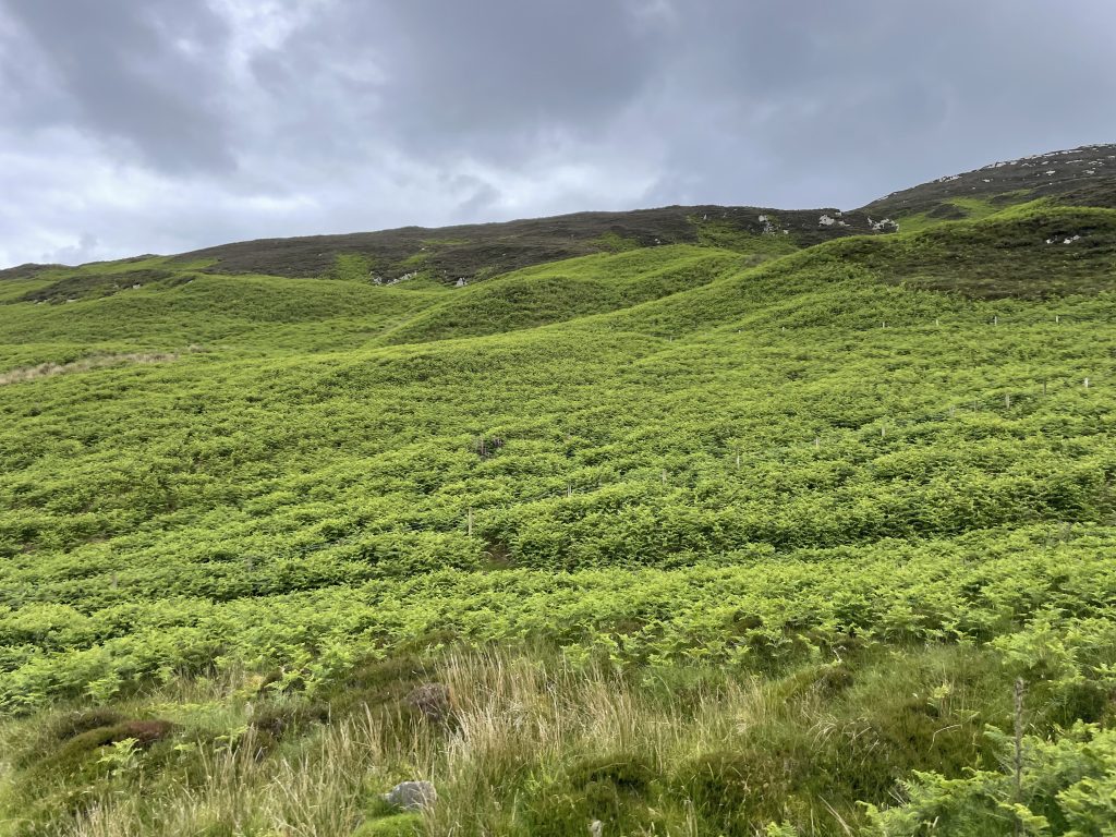

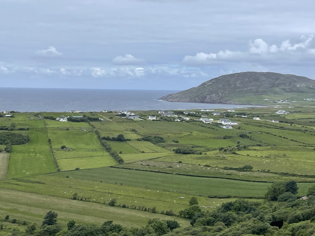

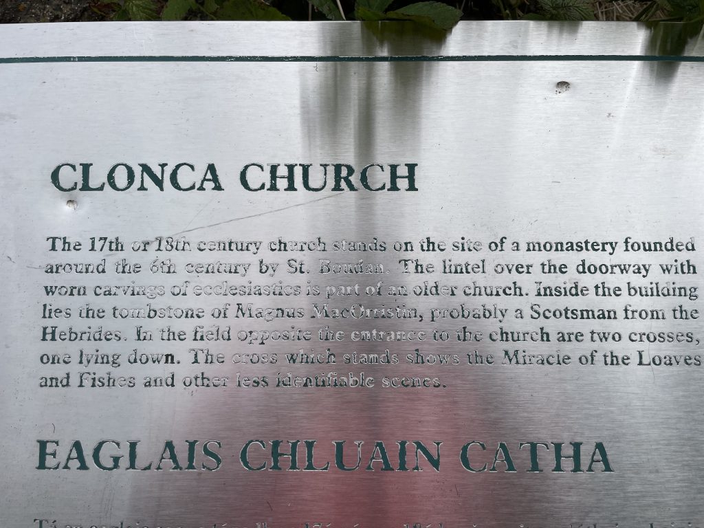
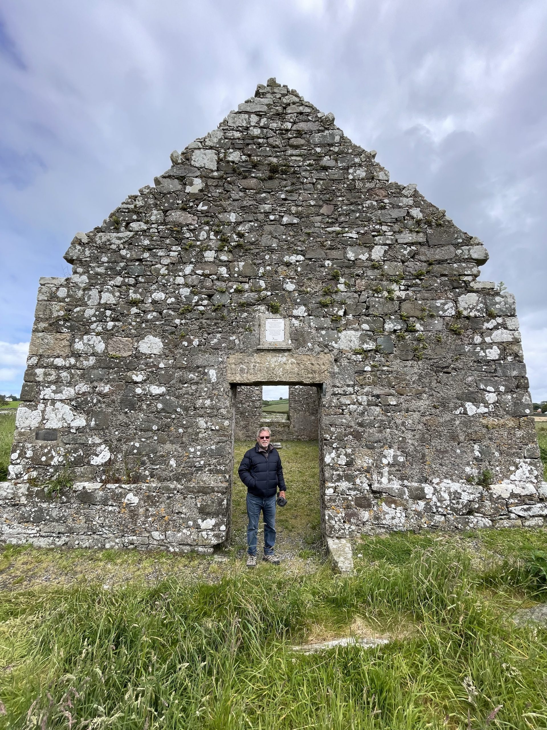
Harkins are recorded as being church stewards at Clonca church
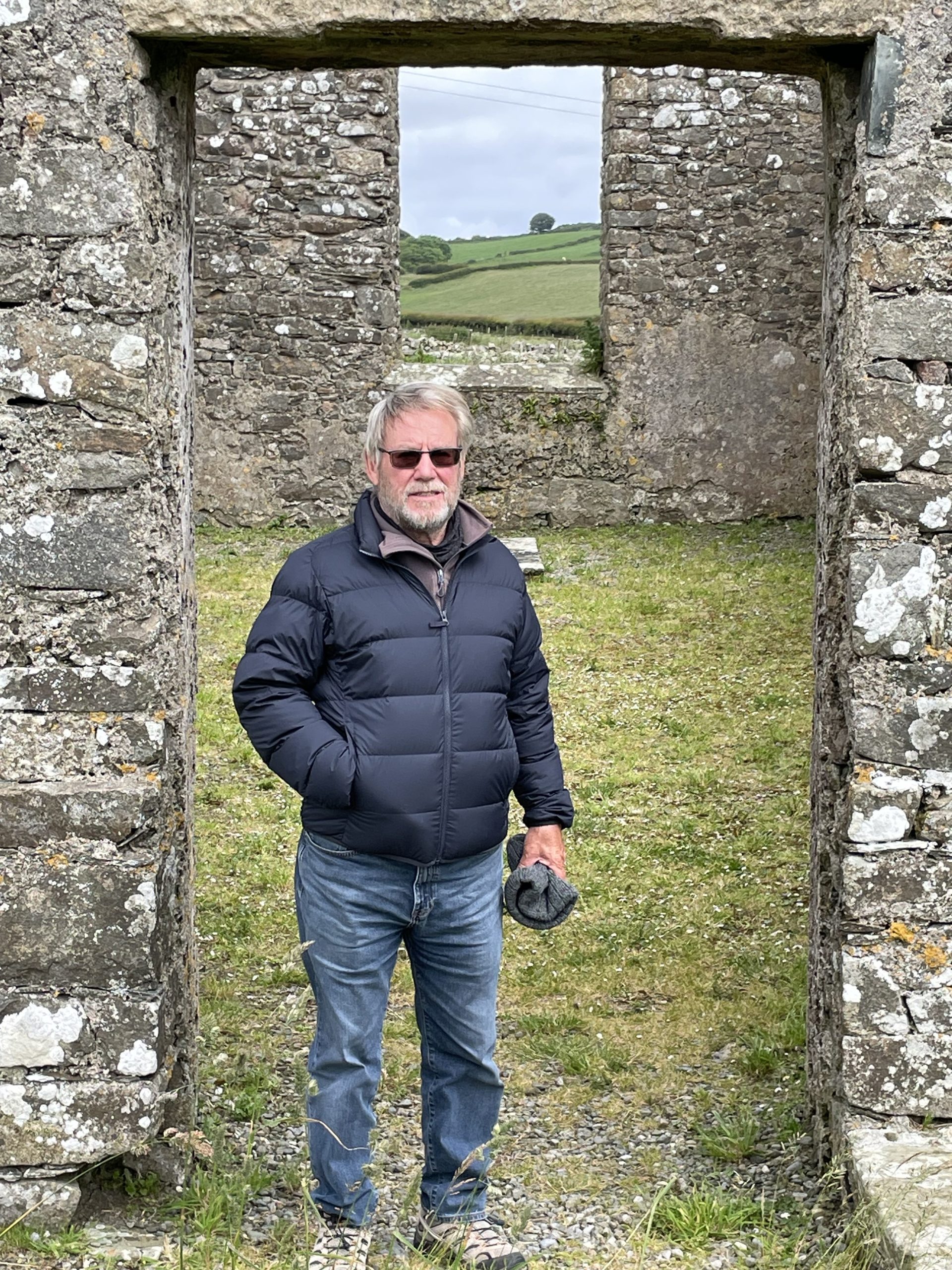
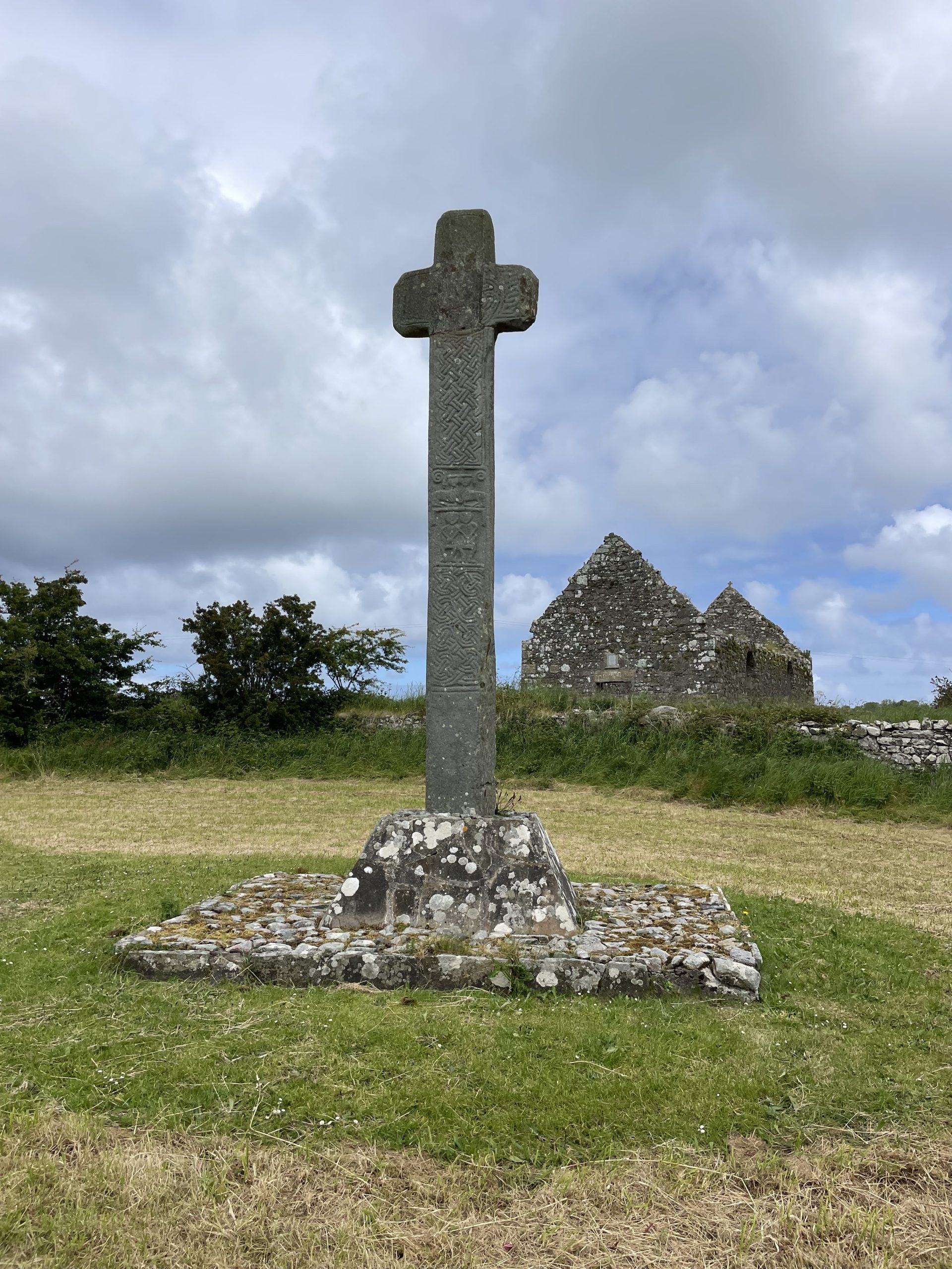
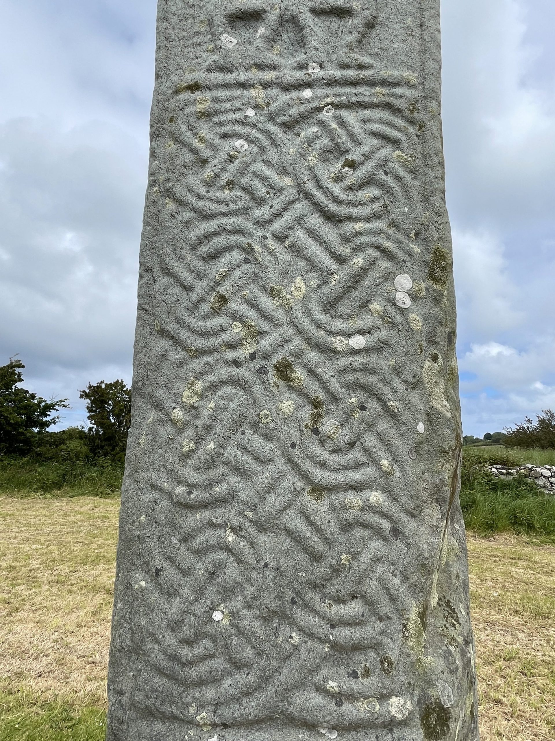
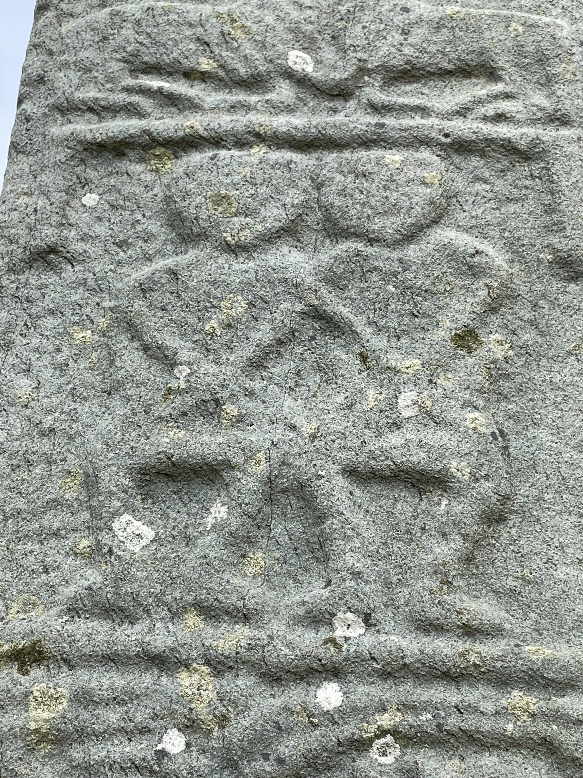
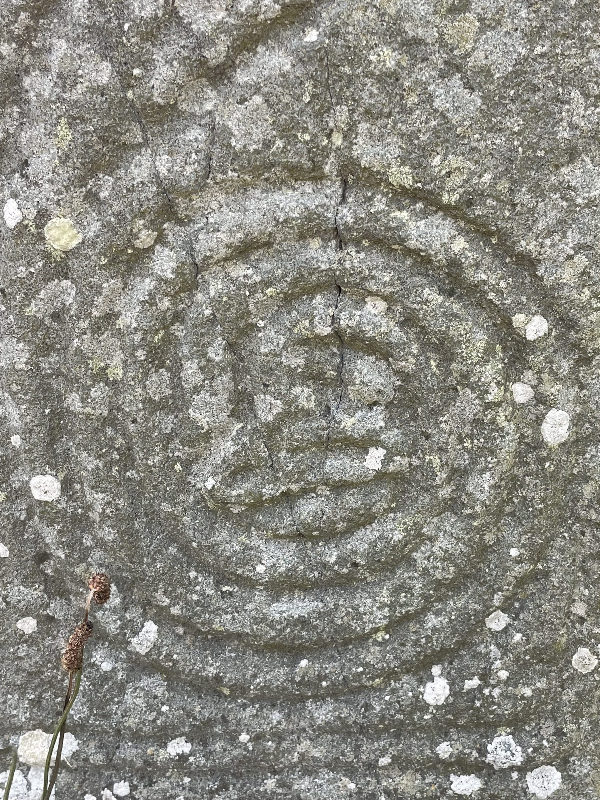
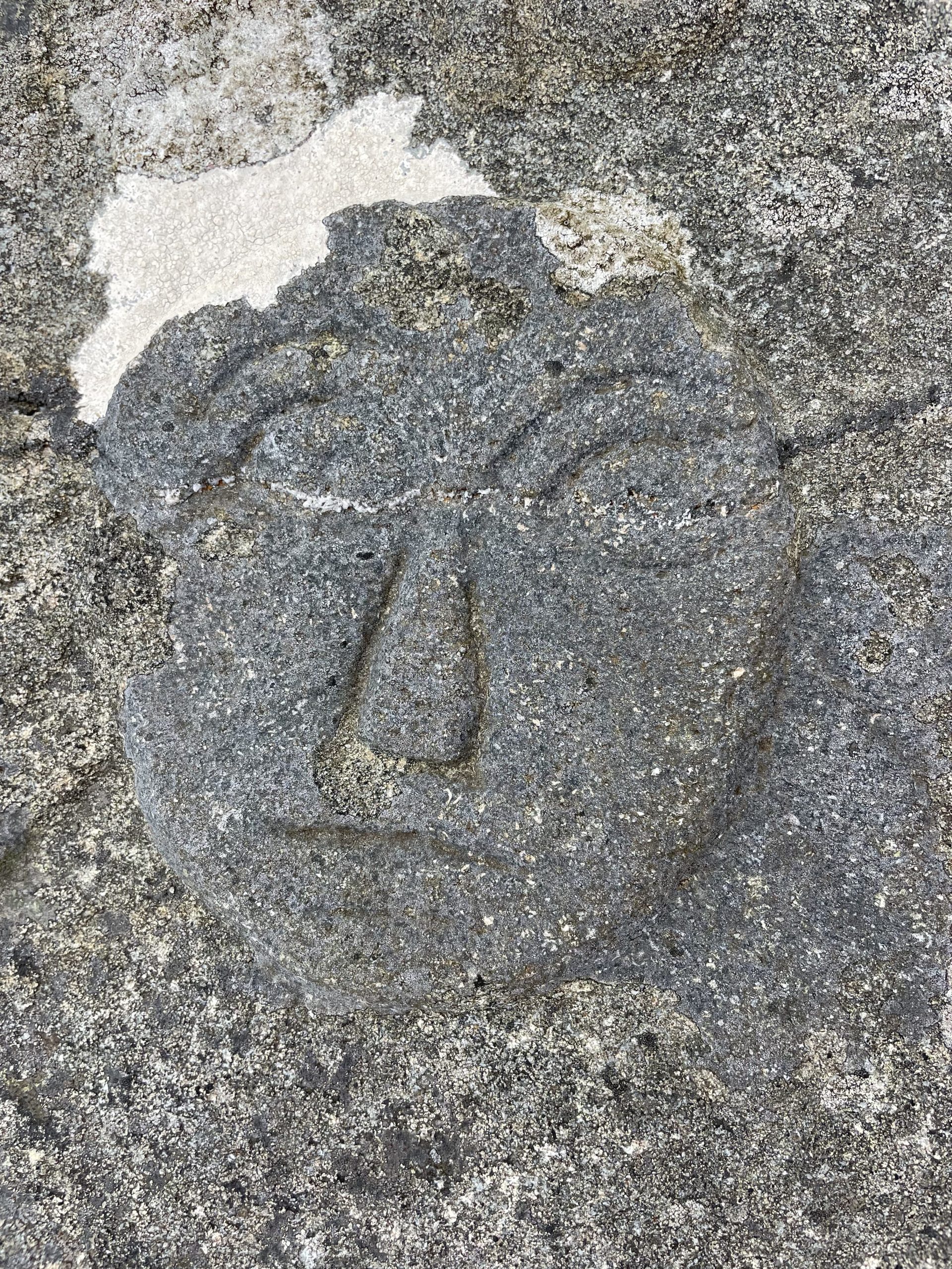
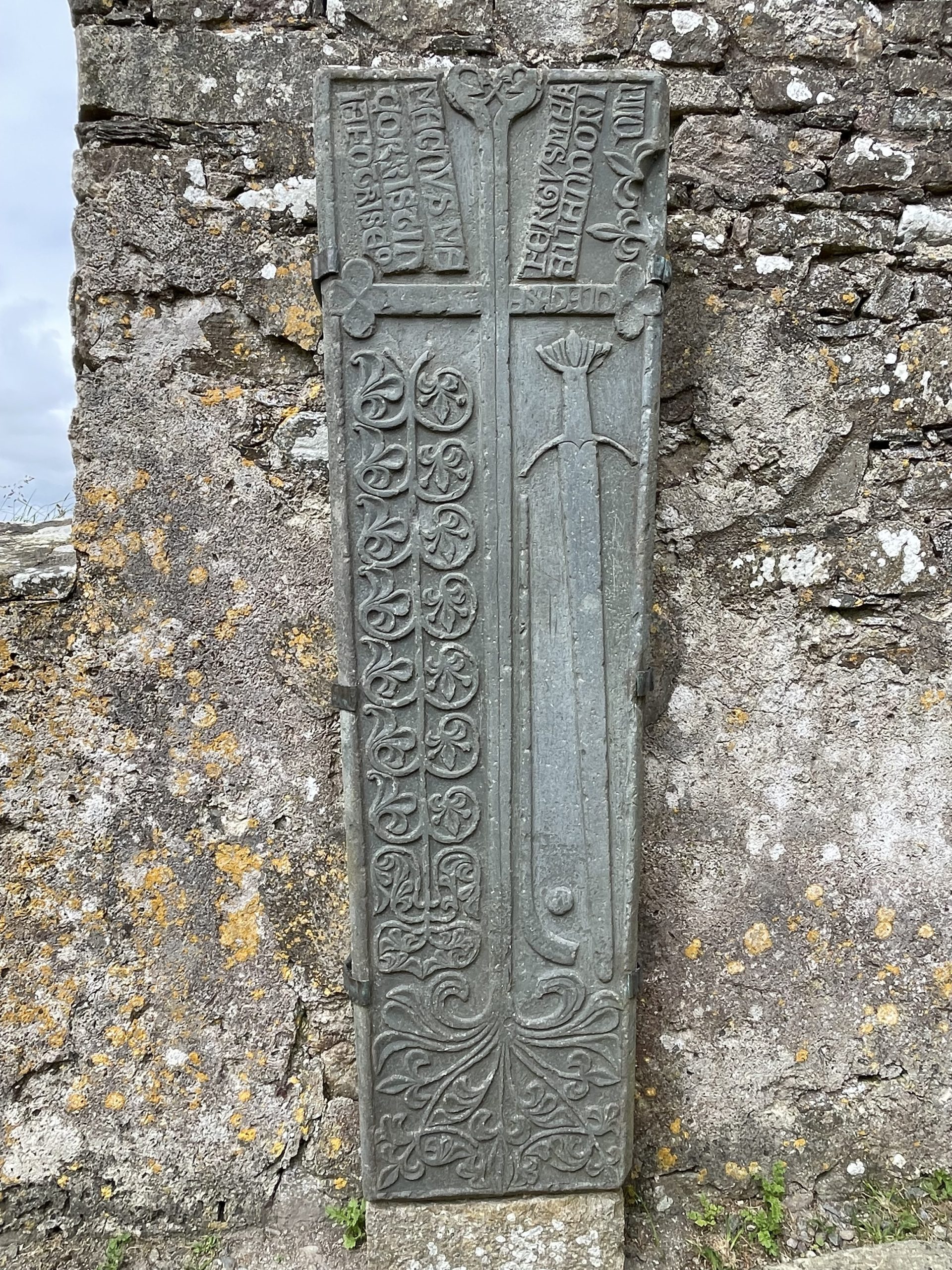

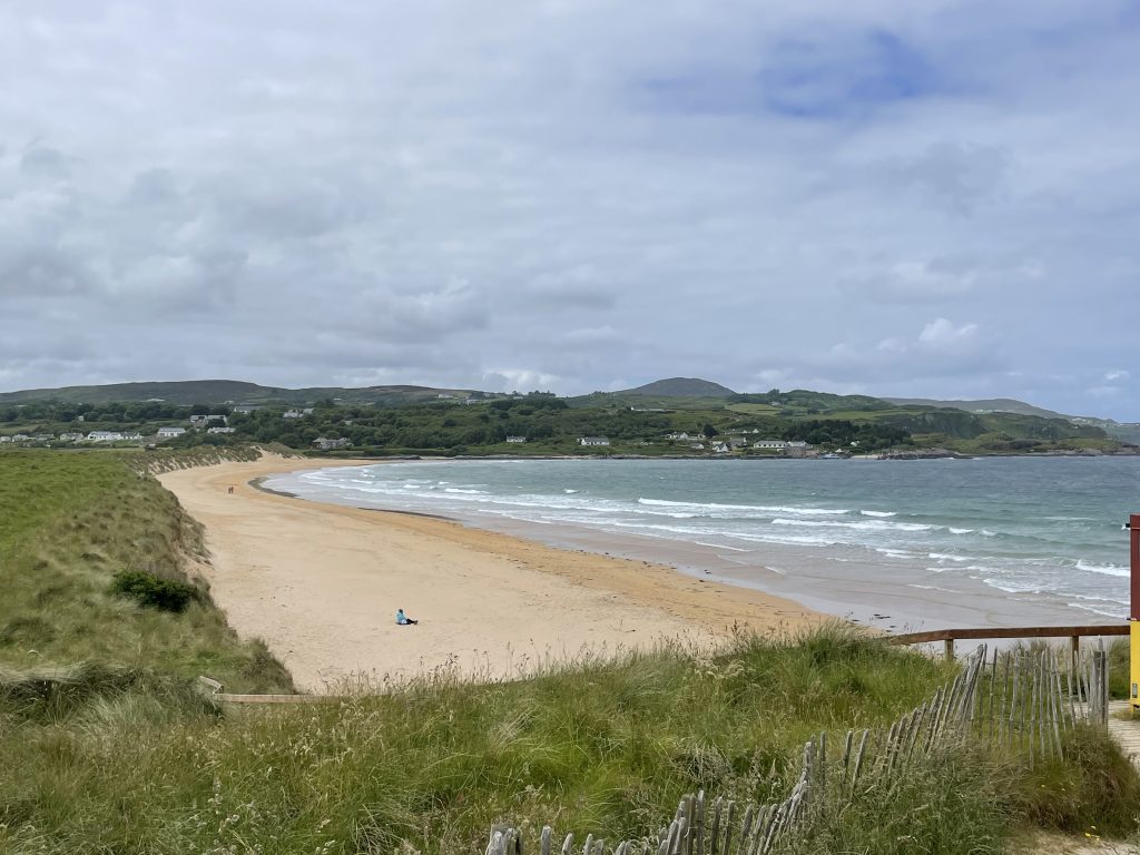

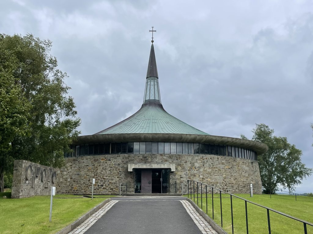
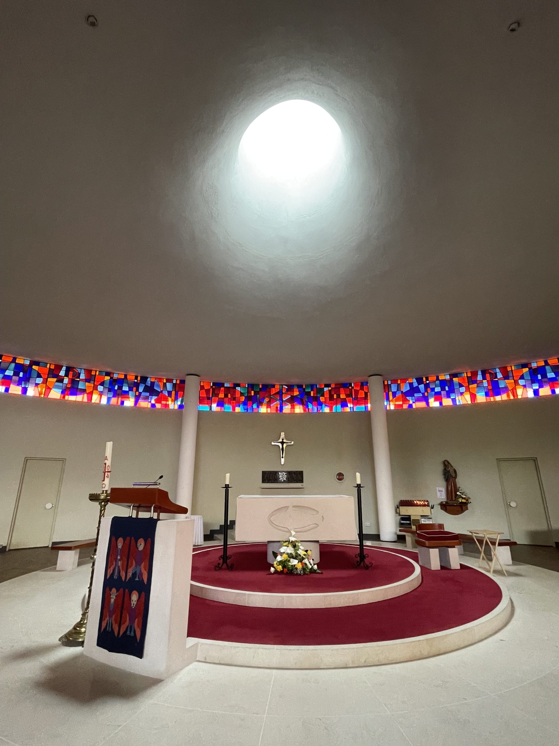
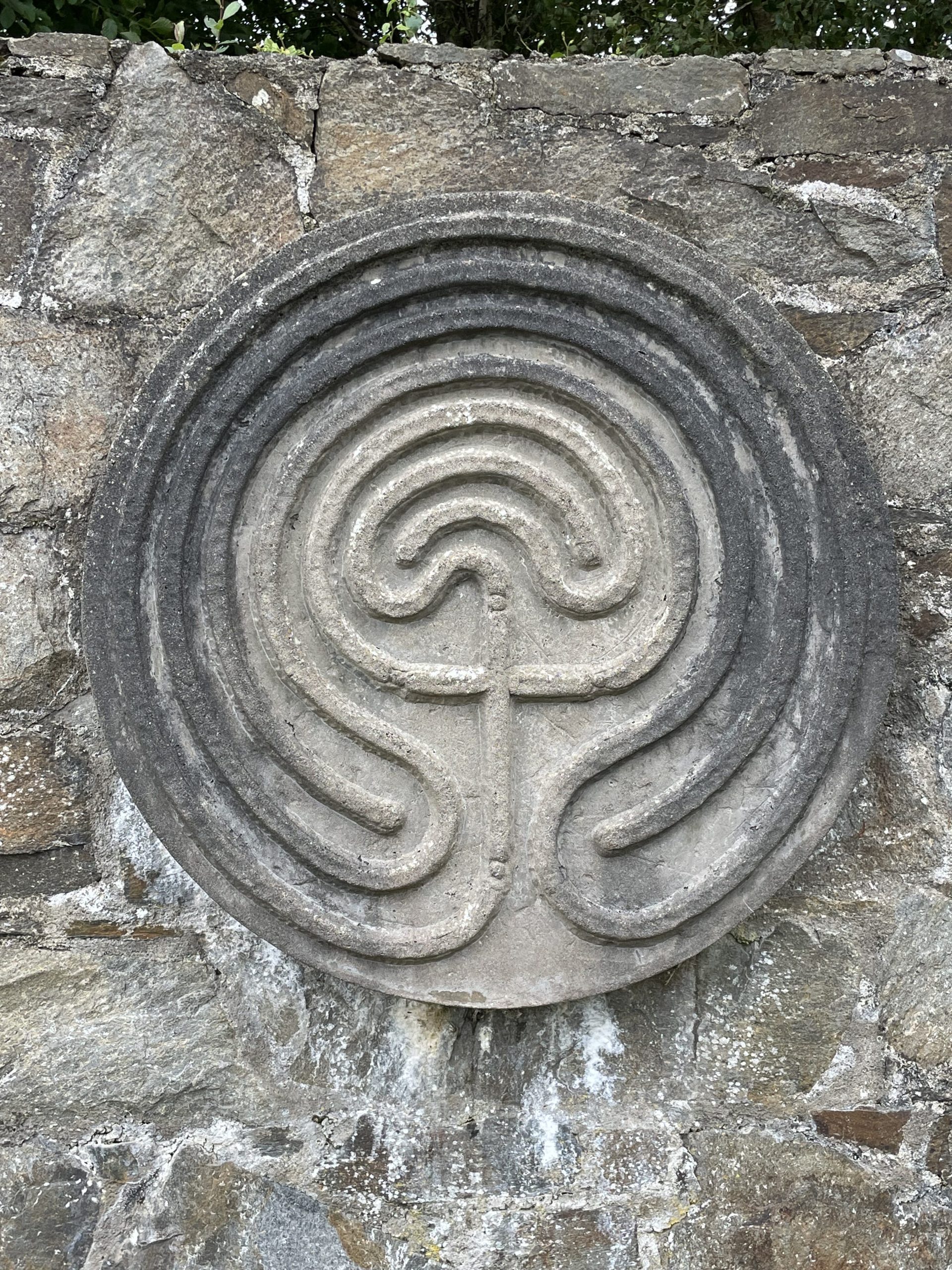
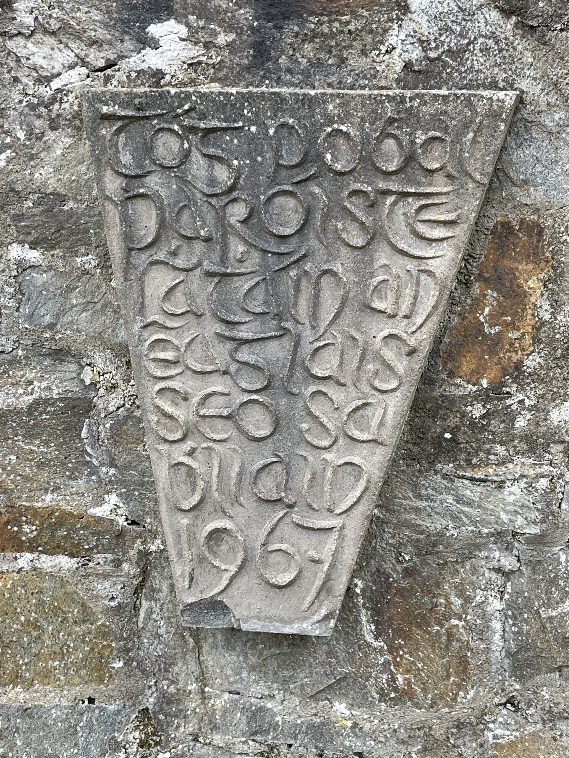
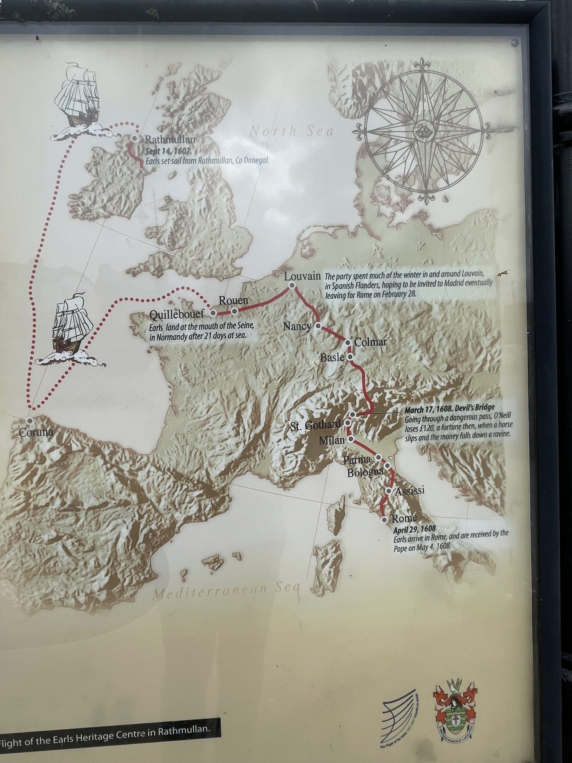
RATHMULLEN – where the Flight of the Earls took place in Sept 1607, arriving in Rome in May 1608. They were the last two earls of old Ireland who went into exile when they could no longer defend their lands in the north from the English; the end of the Gaelic nation of Ireland. One of the diarists on the journey was O’Cianain (Keenan today) was one of Mikes ancestors on his mum’s side.
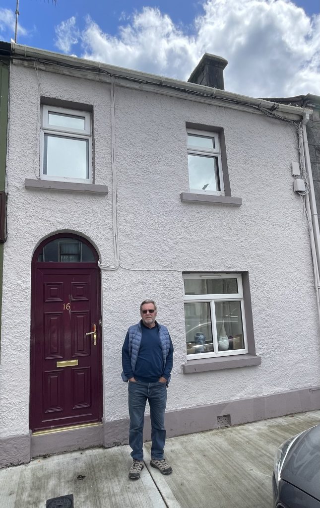
His Dads house
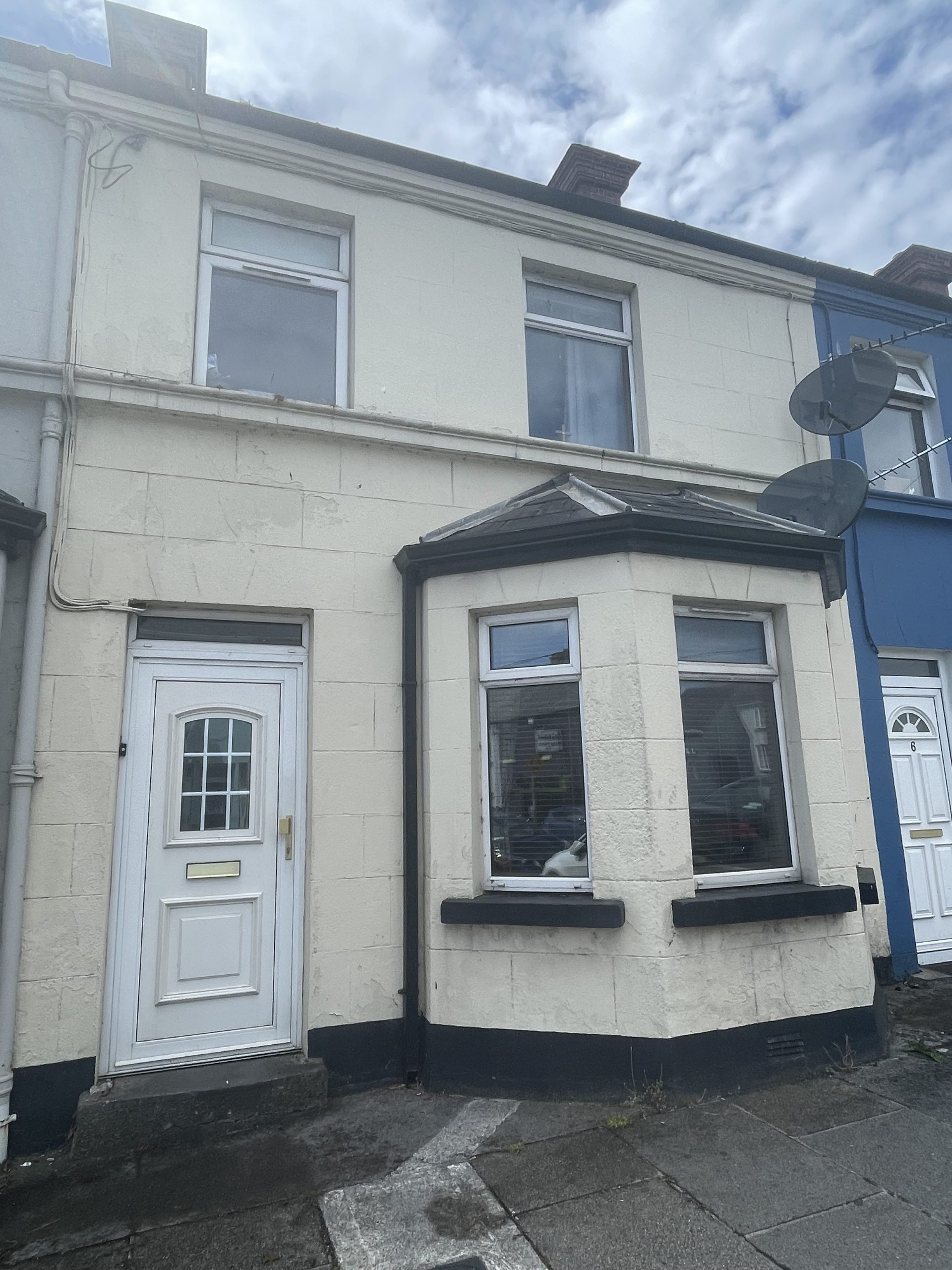
His grandads house
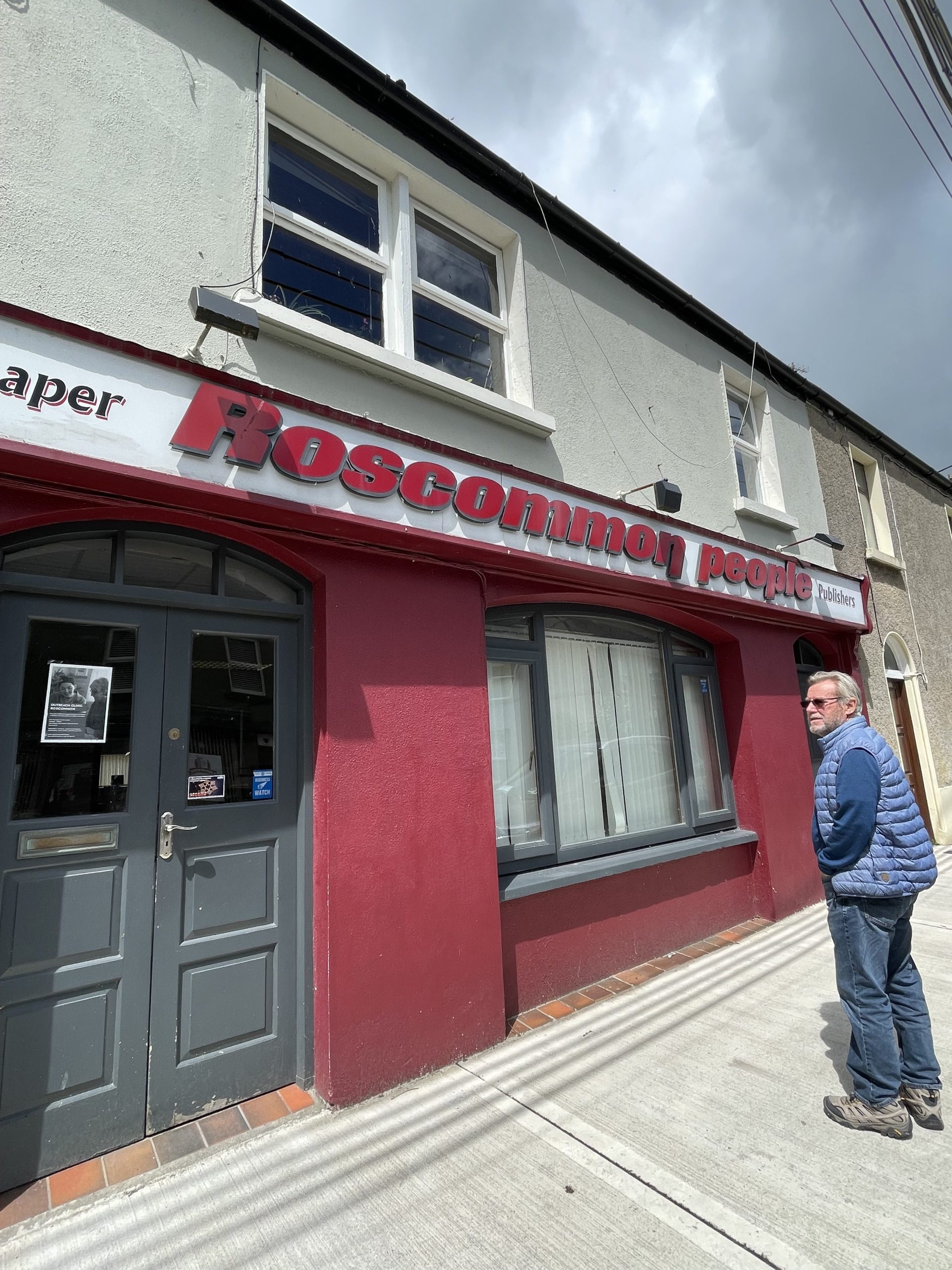
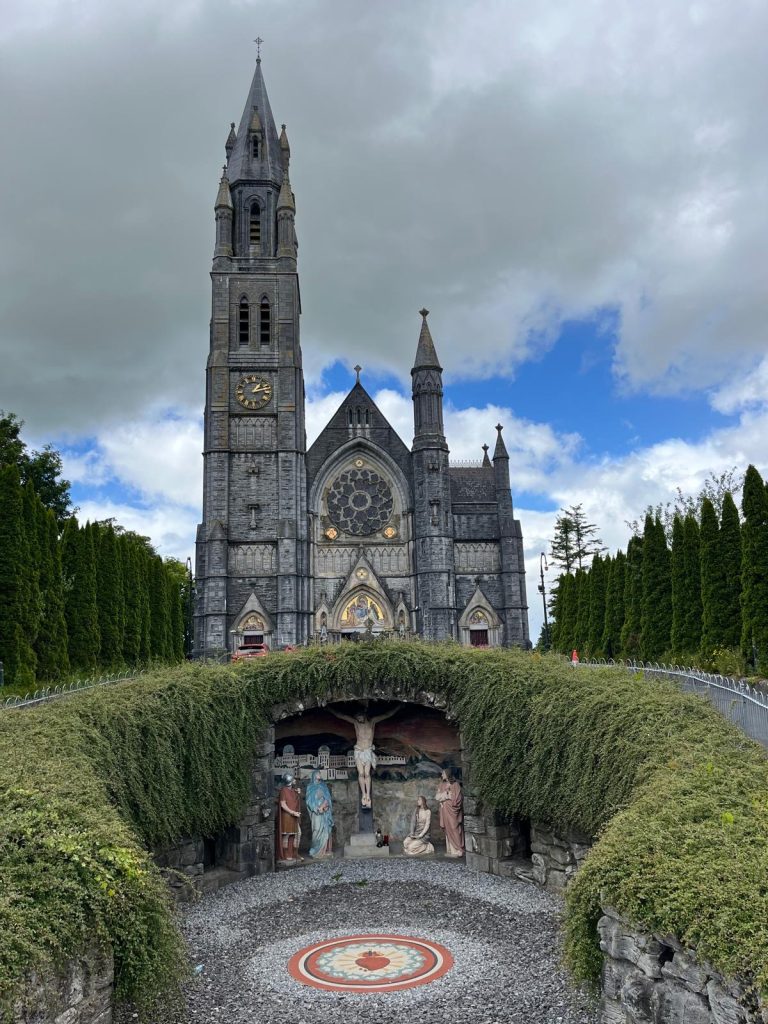
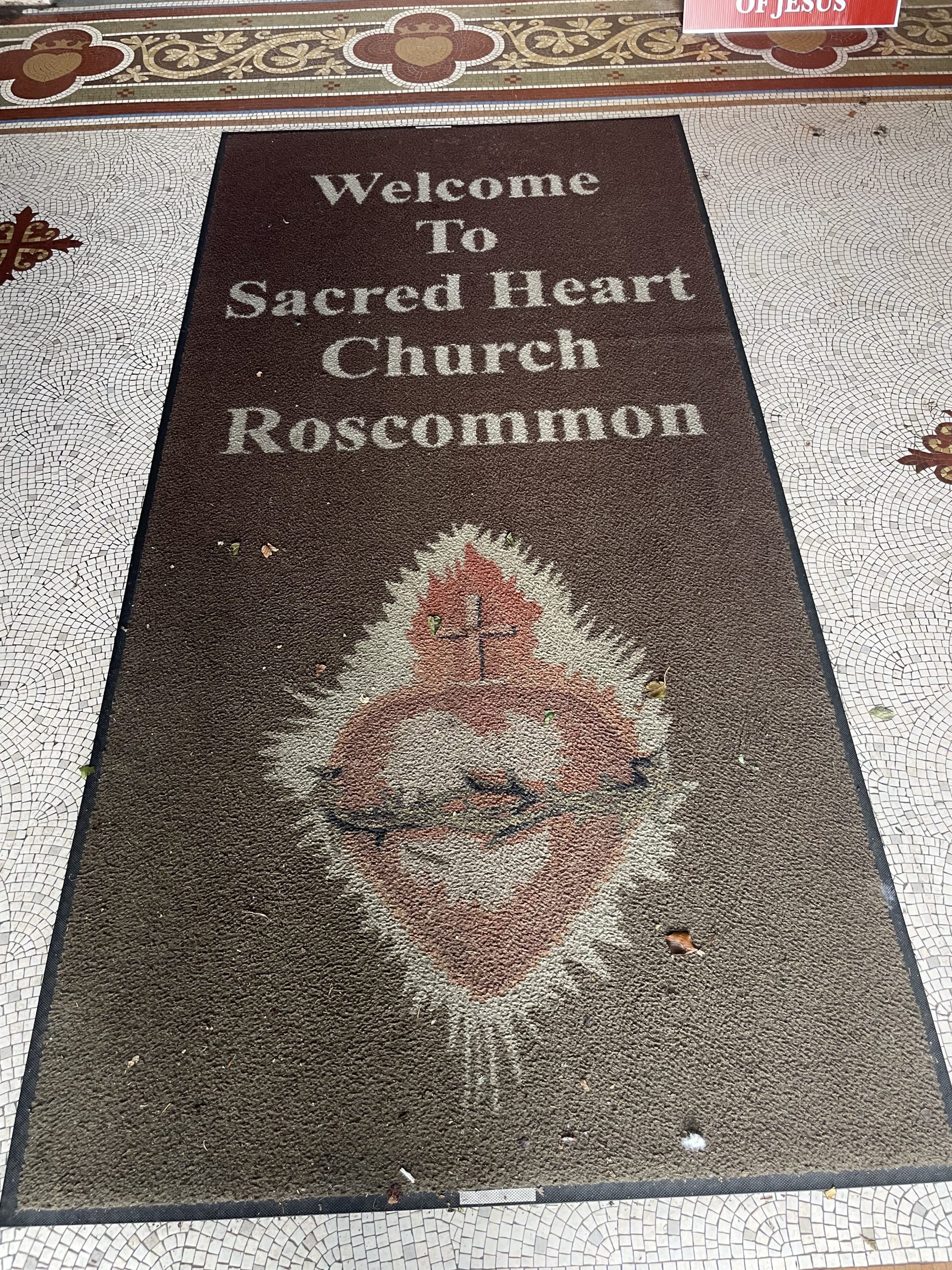
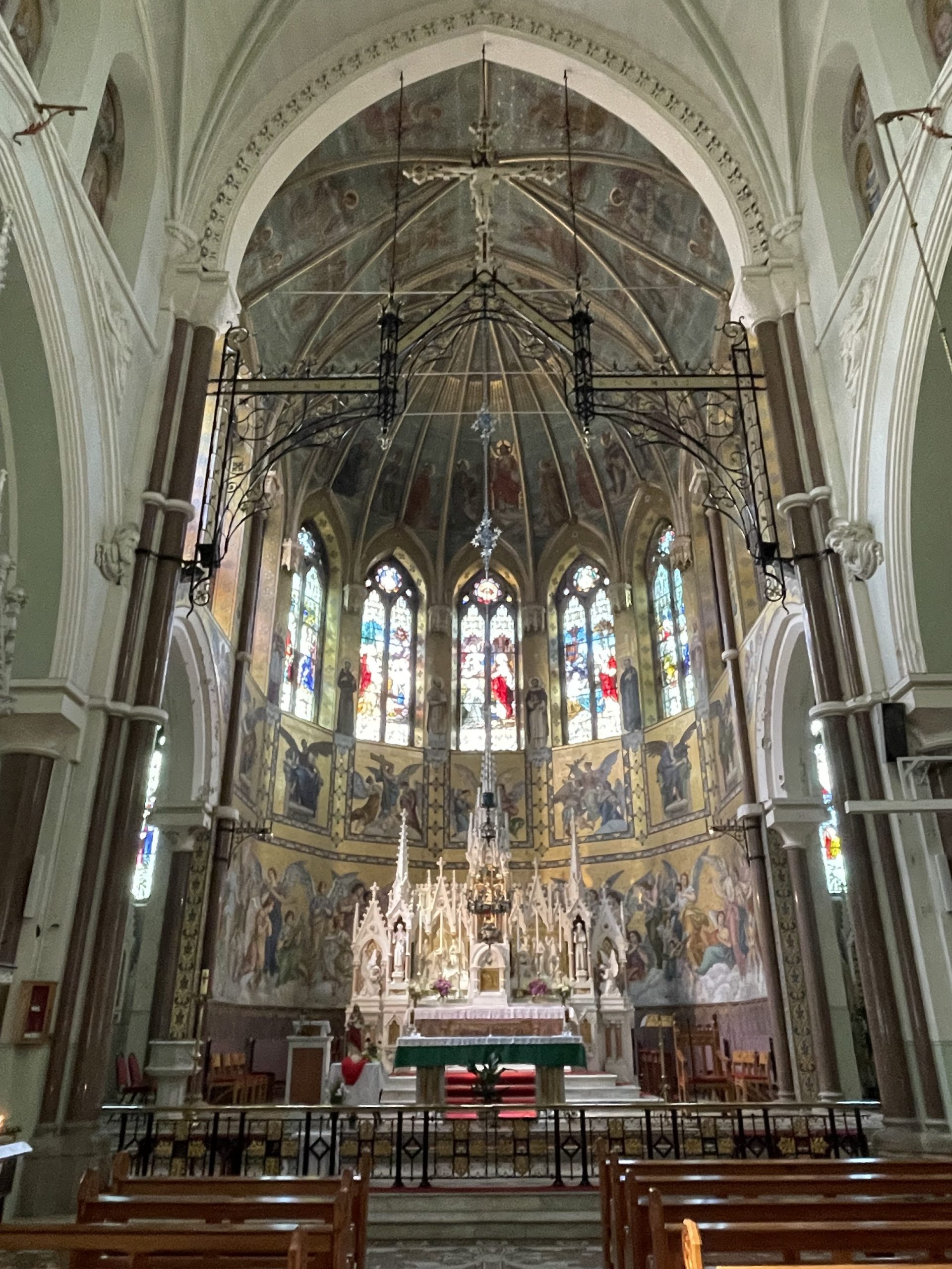
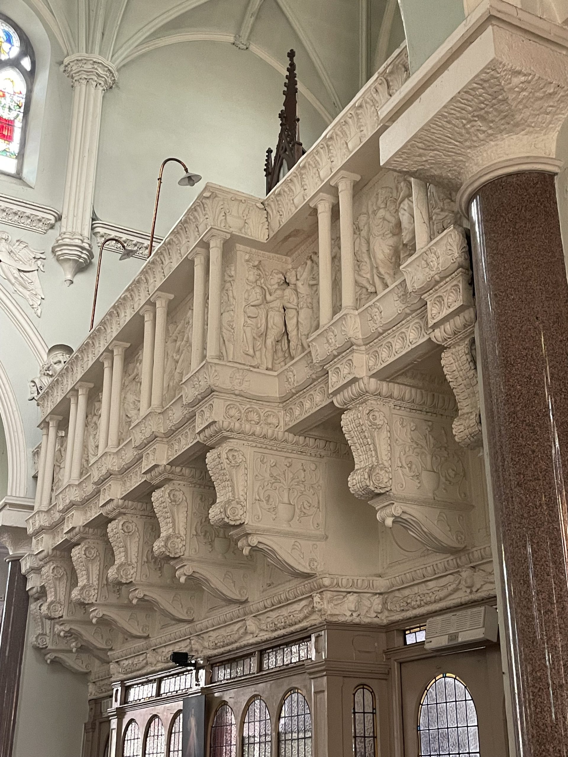
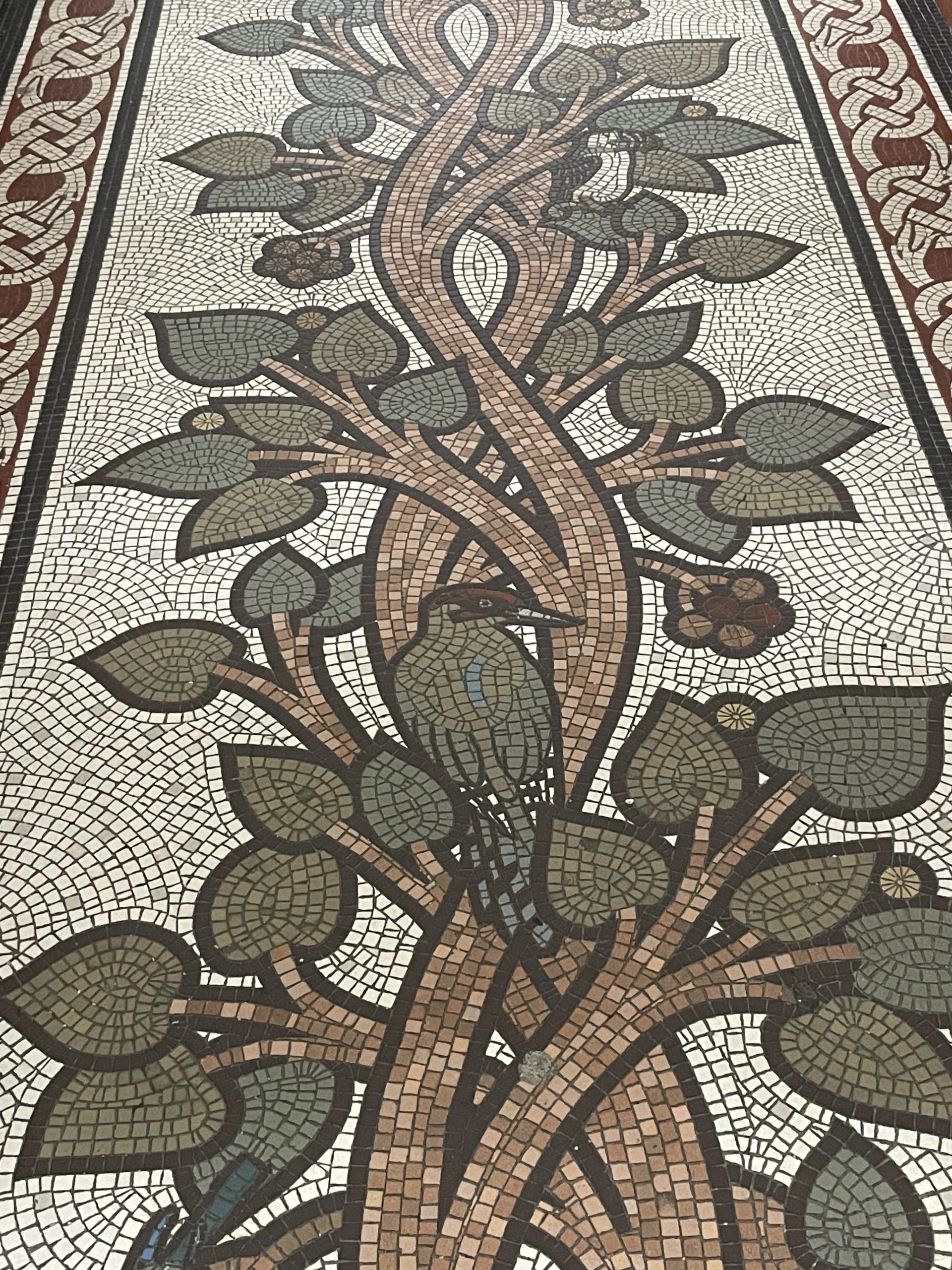
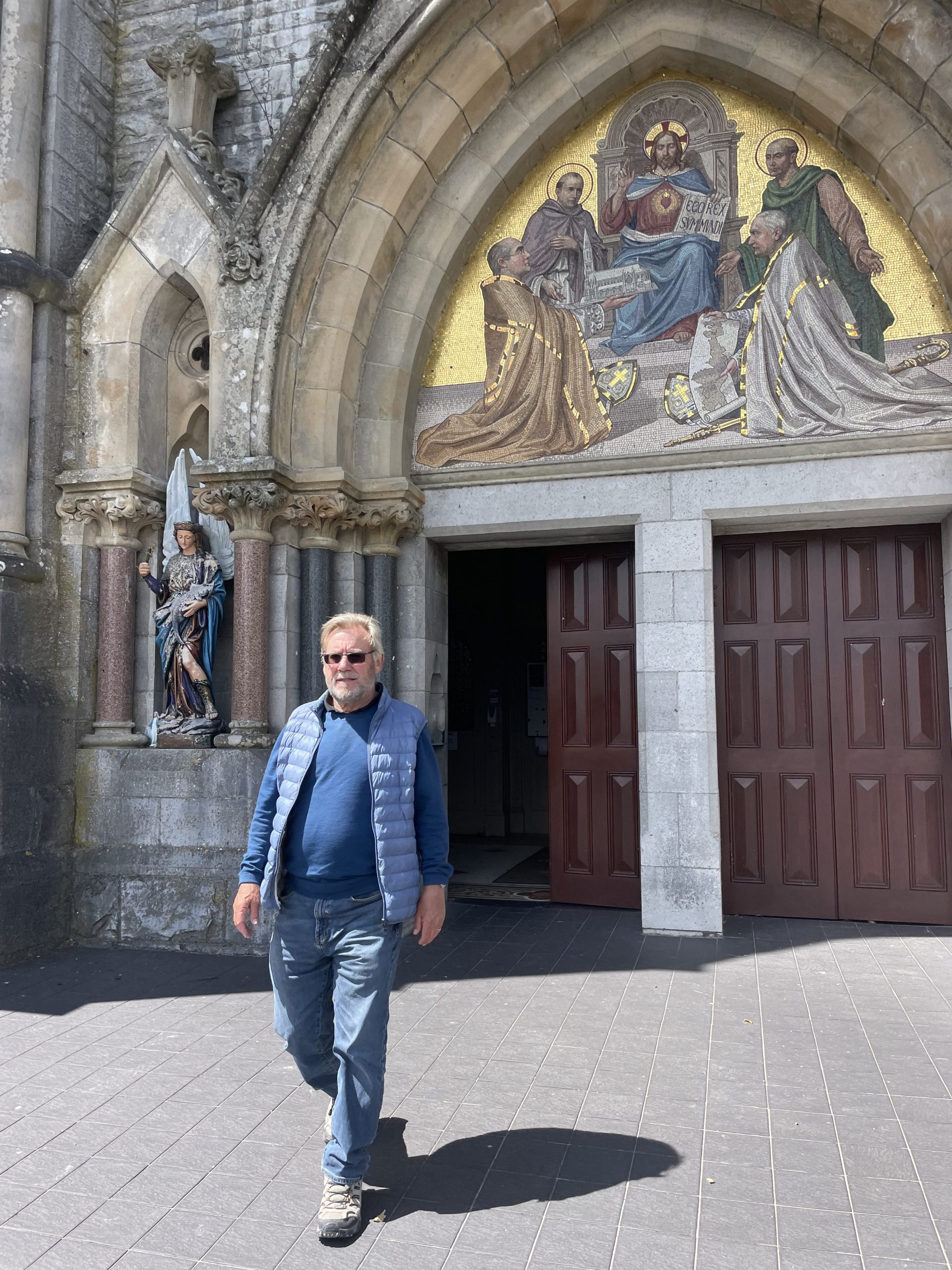
Walking in his father’s footsteps
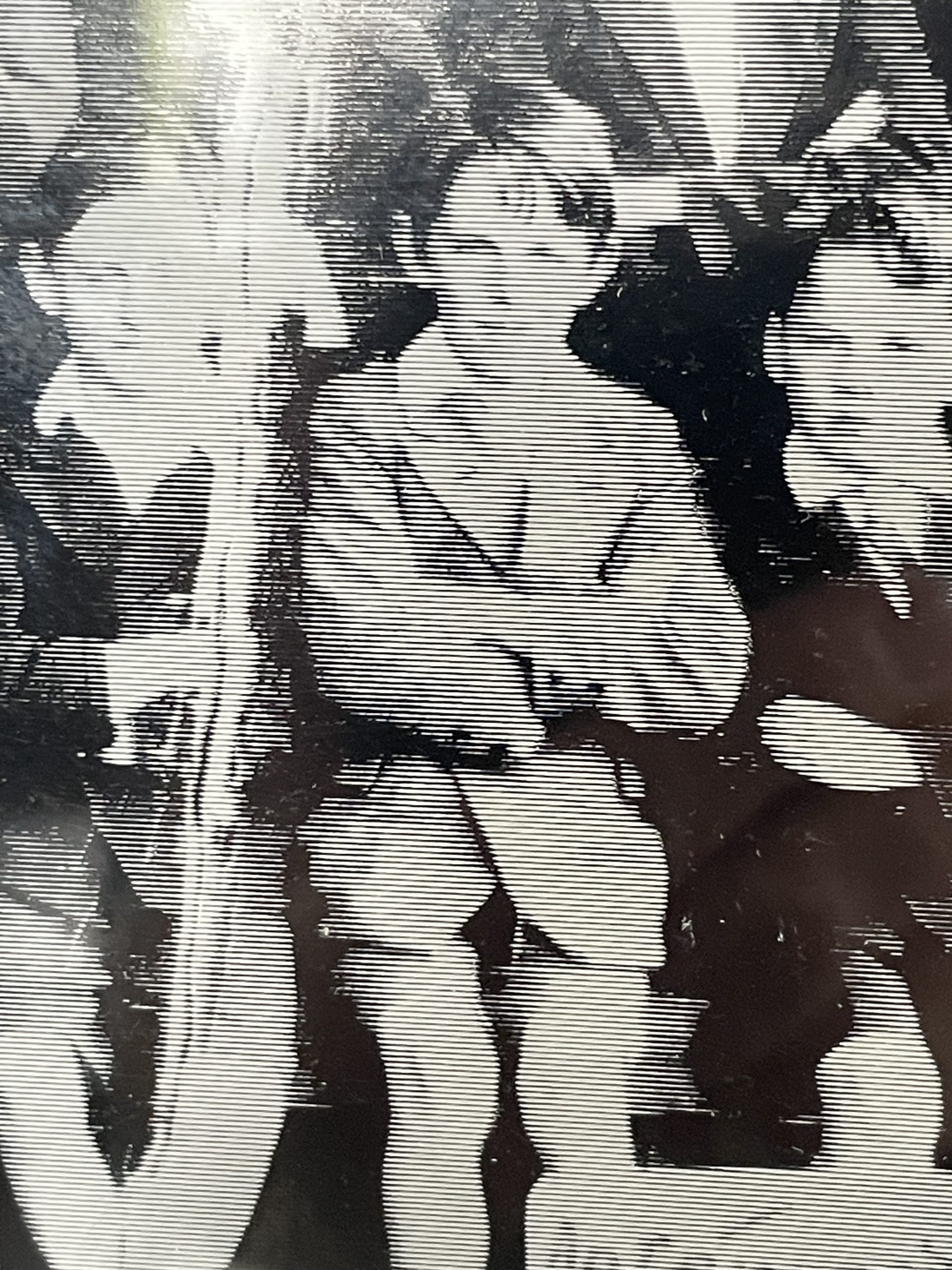
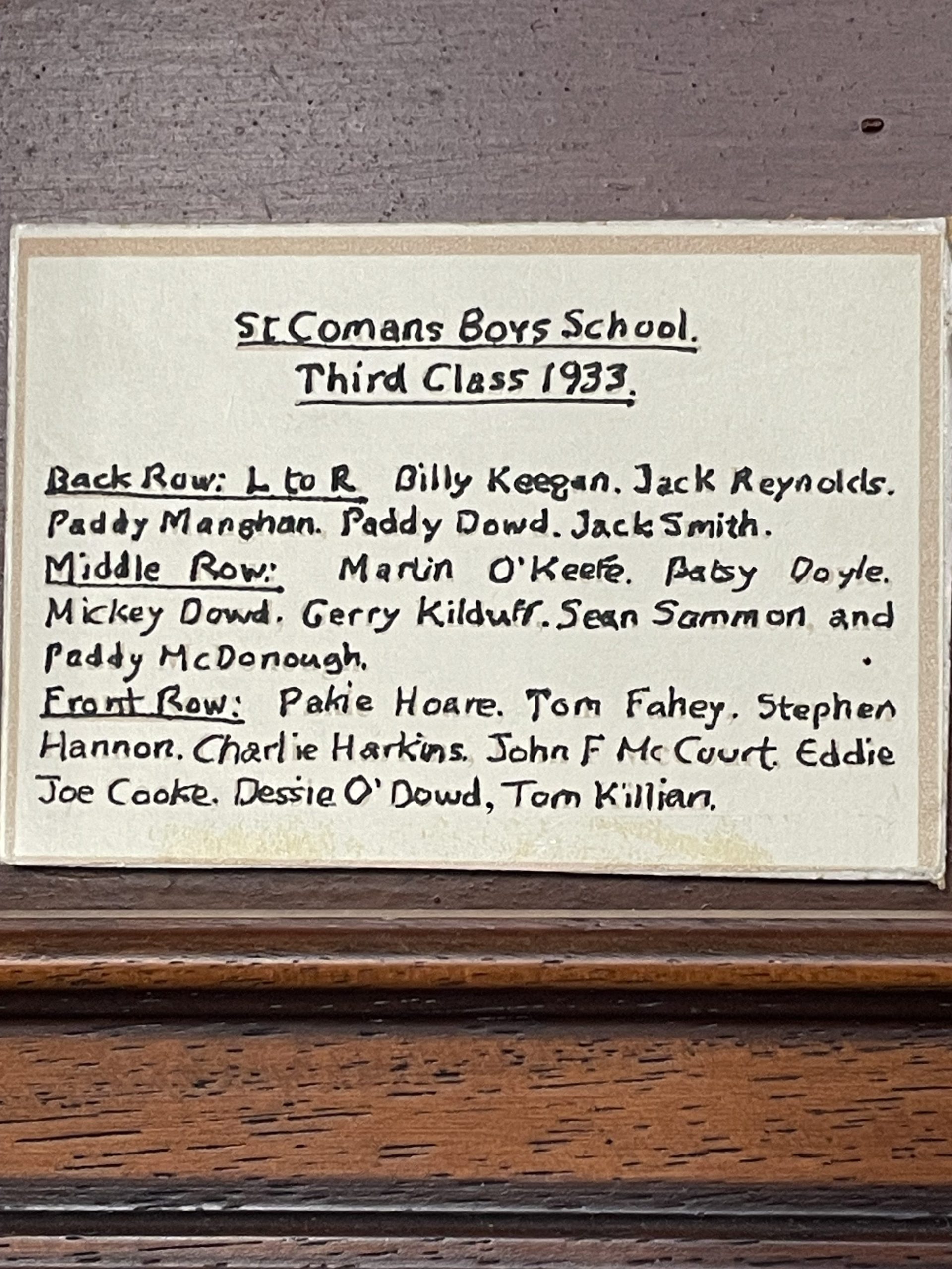
Charlie Harkins 1933 – an uncle?
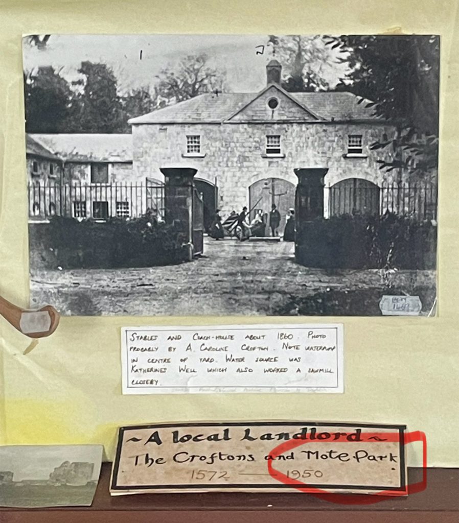
The local Manor – Mote Park Roscommon
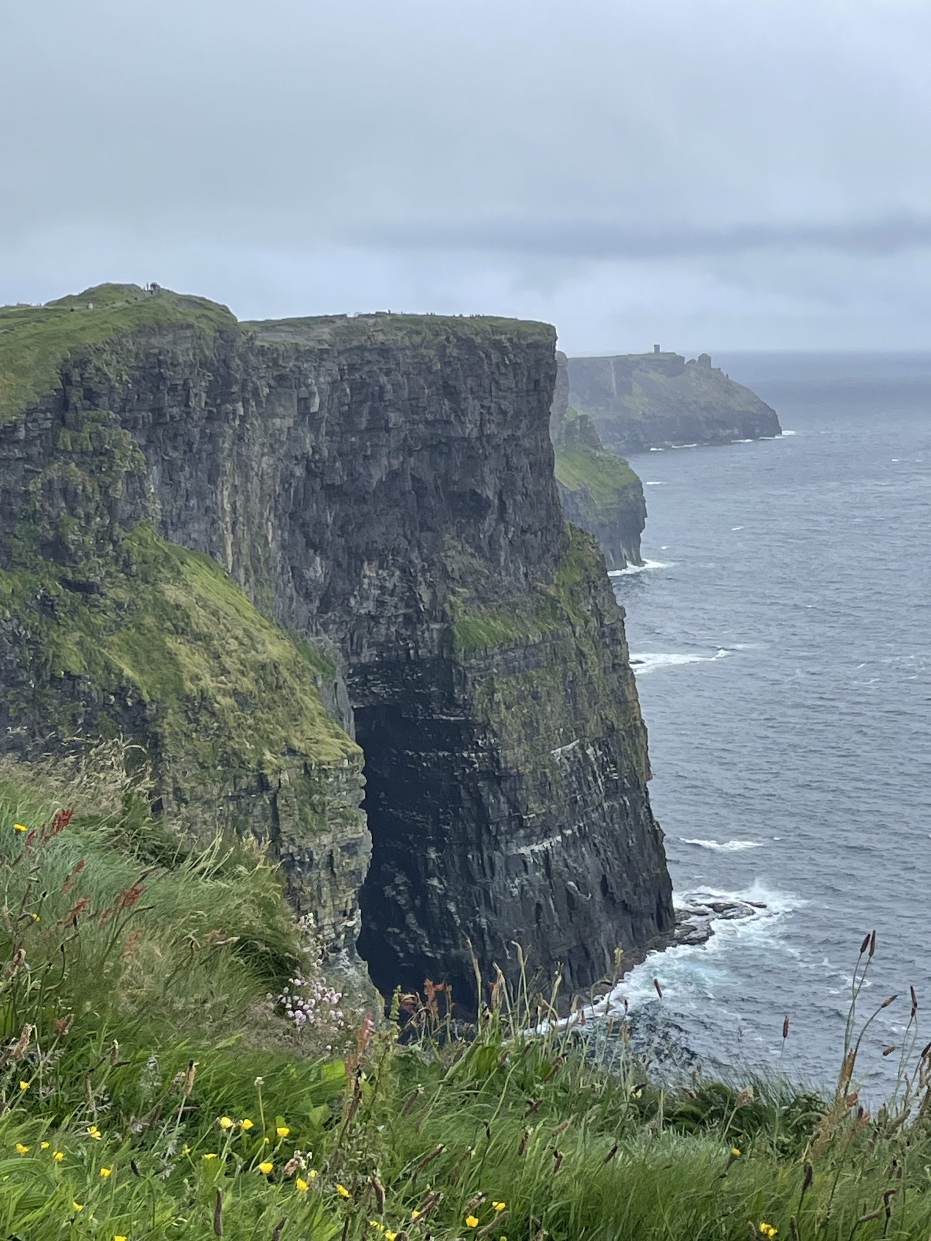
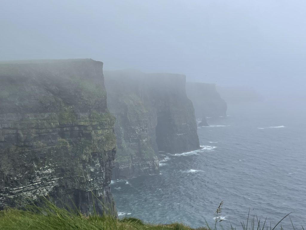
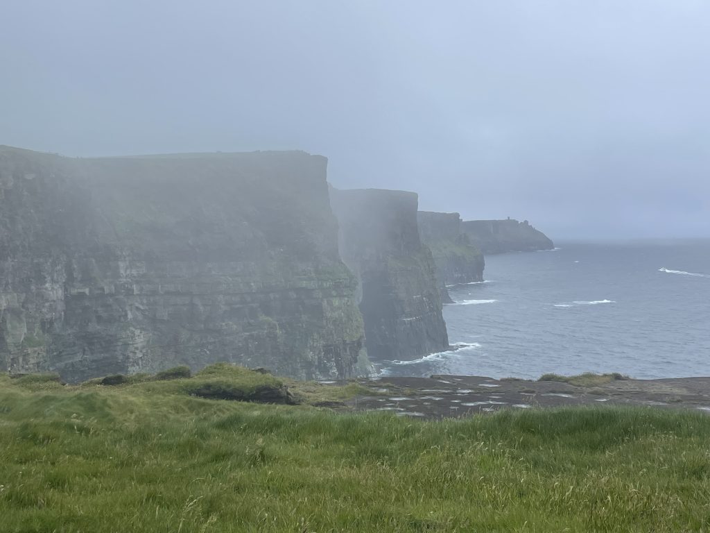
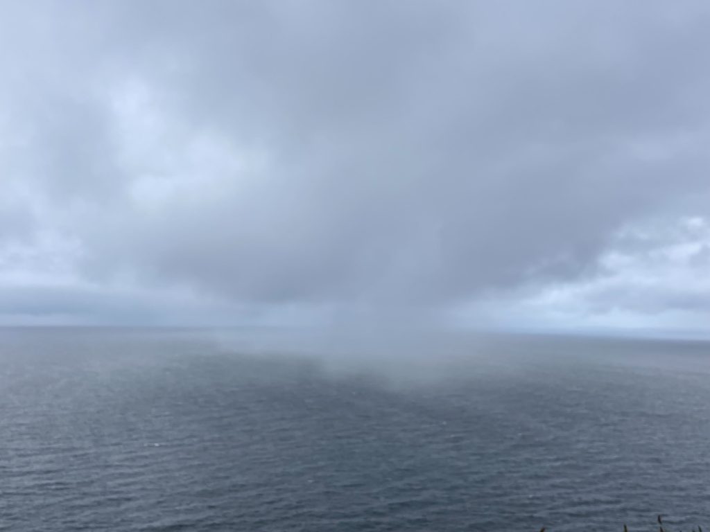
If you don’t like the weather in Ireland, wait 5 minutes…
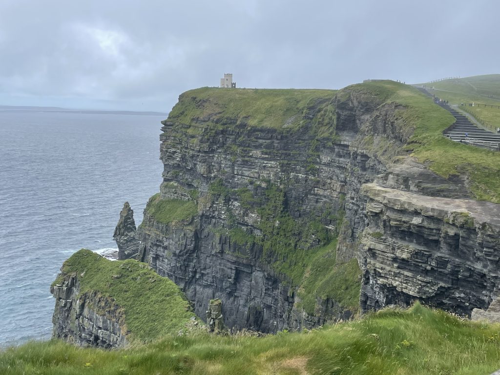

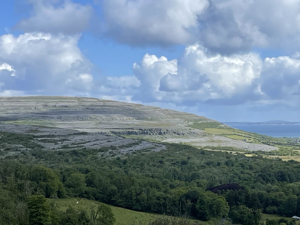

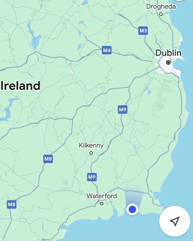
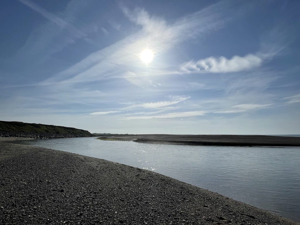
First wild camp at Cullenstown Beach County Wexford

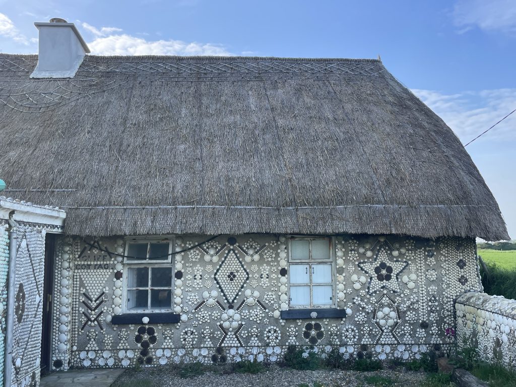
Beach house decorated with shells


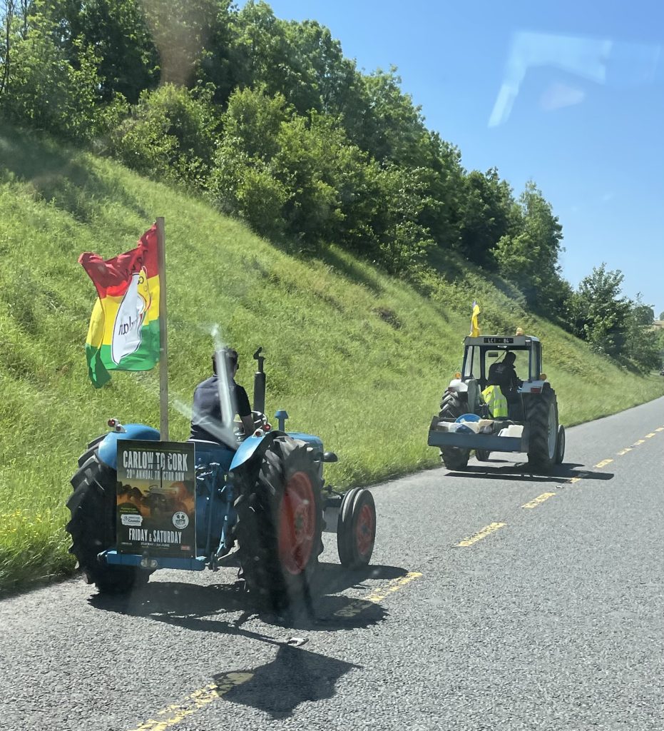
Tractor race Carlow – Cork on main road
Bantry House & Garden
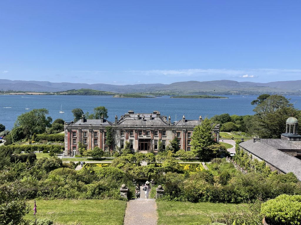
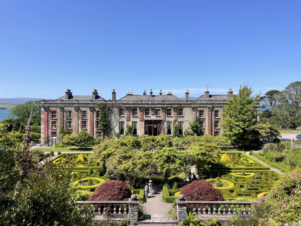
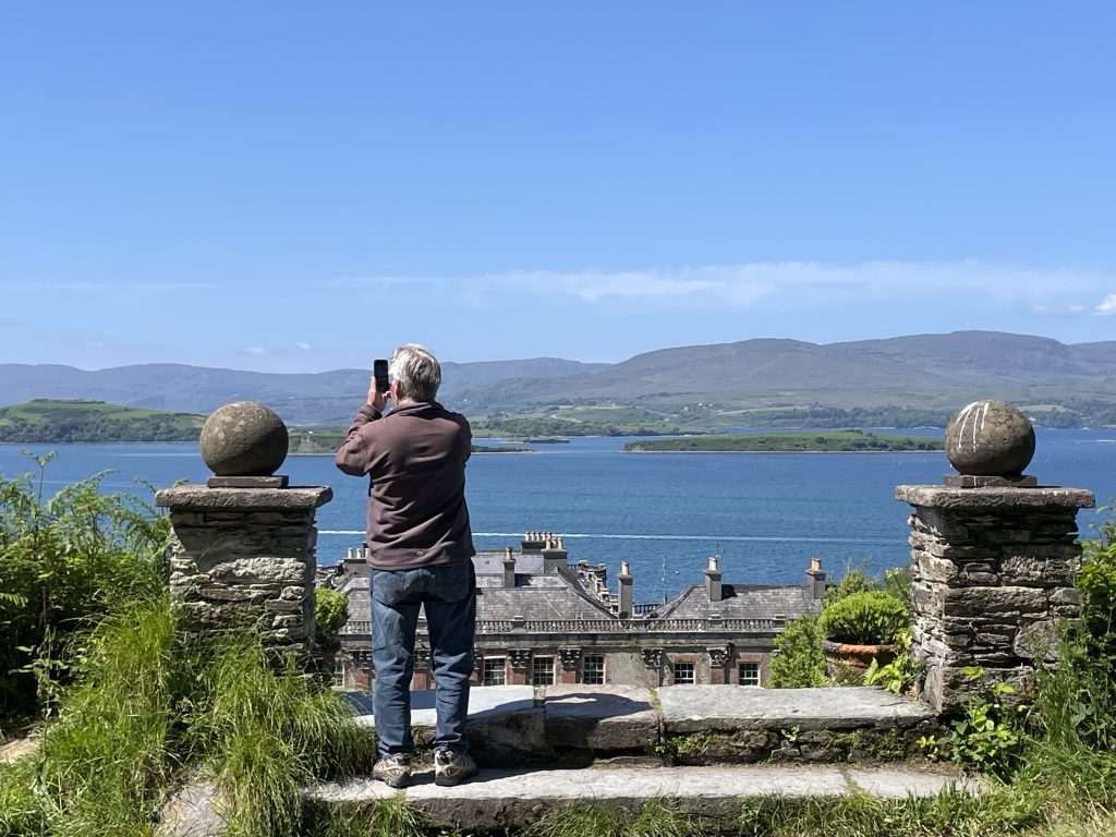

Bantry Harbour – second overnight spot

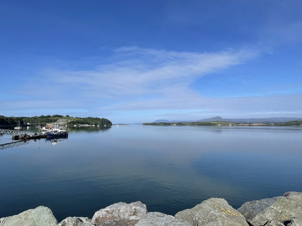
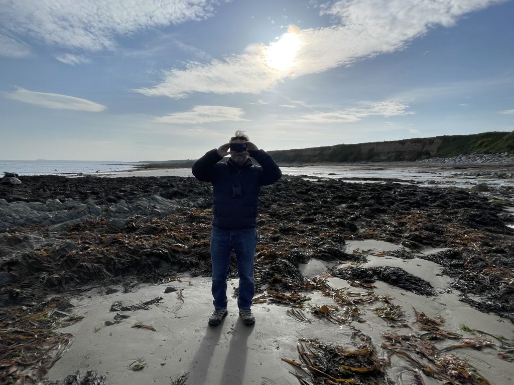
Jellyfish with 👓

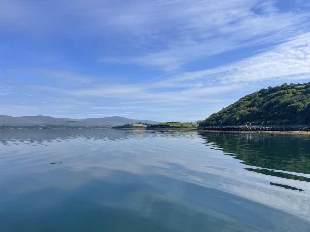

Third night wild camping on Bantry Bay
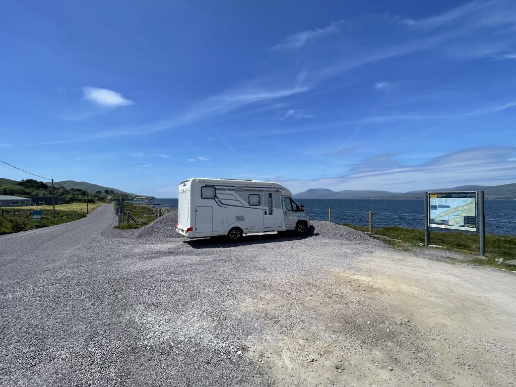
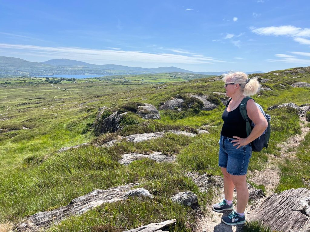
Walking Sheepshead Way above Bantry Bay
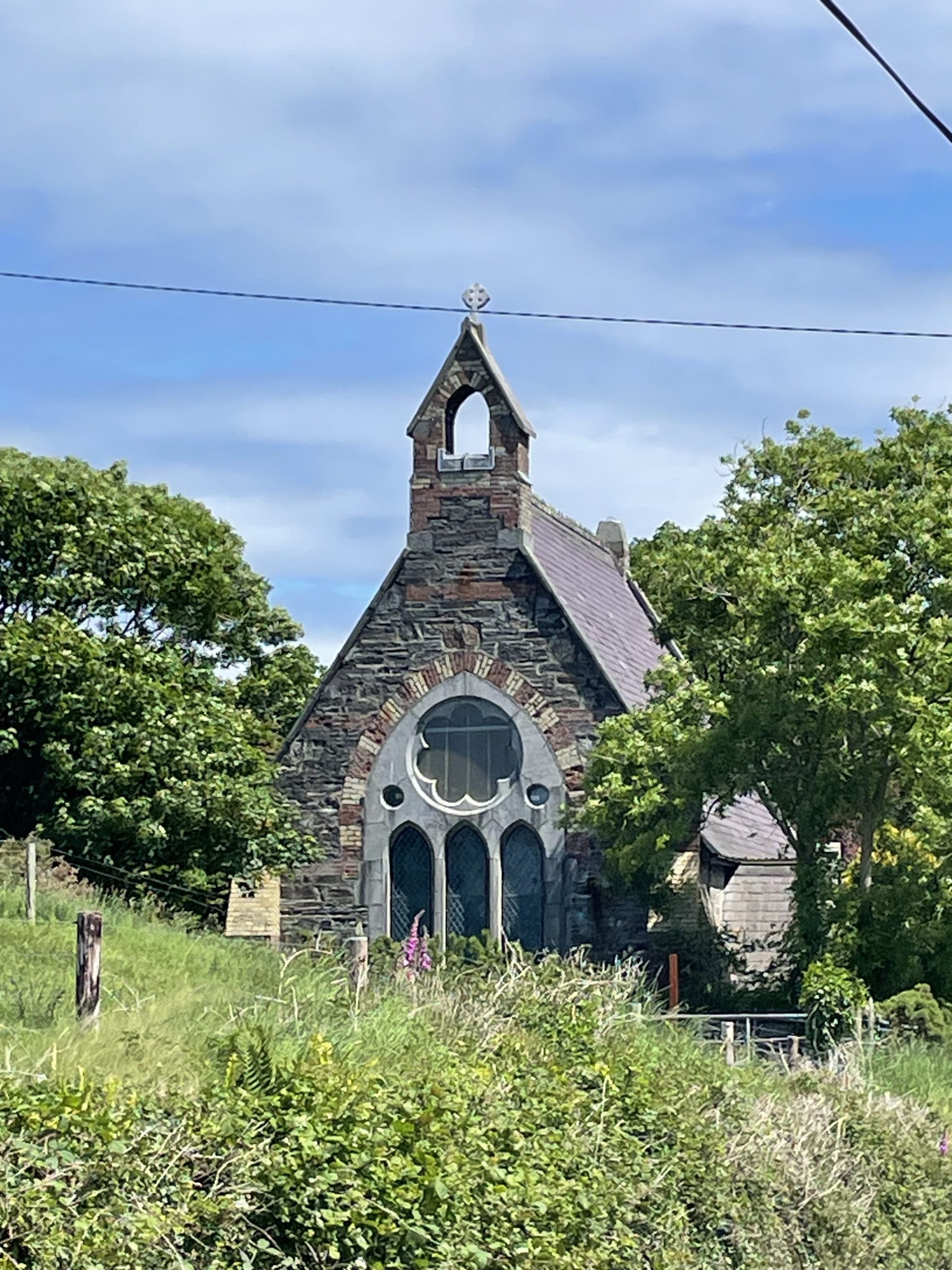



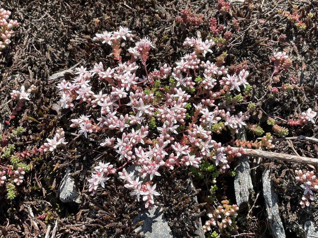
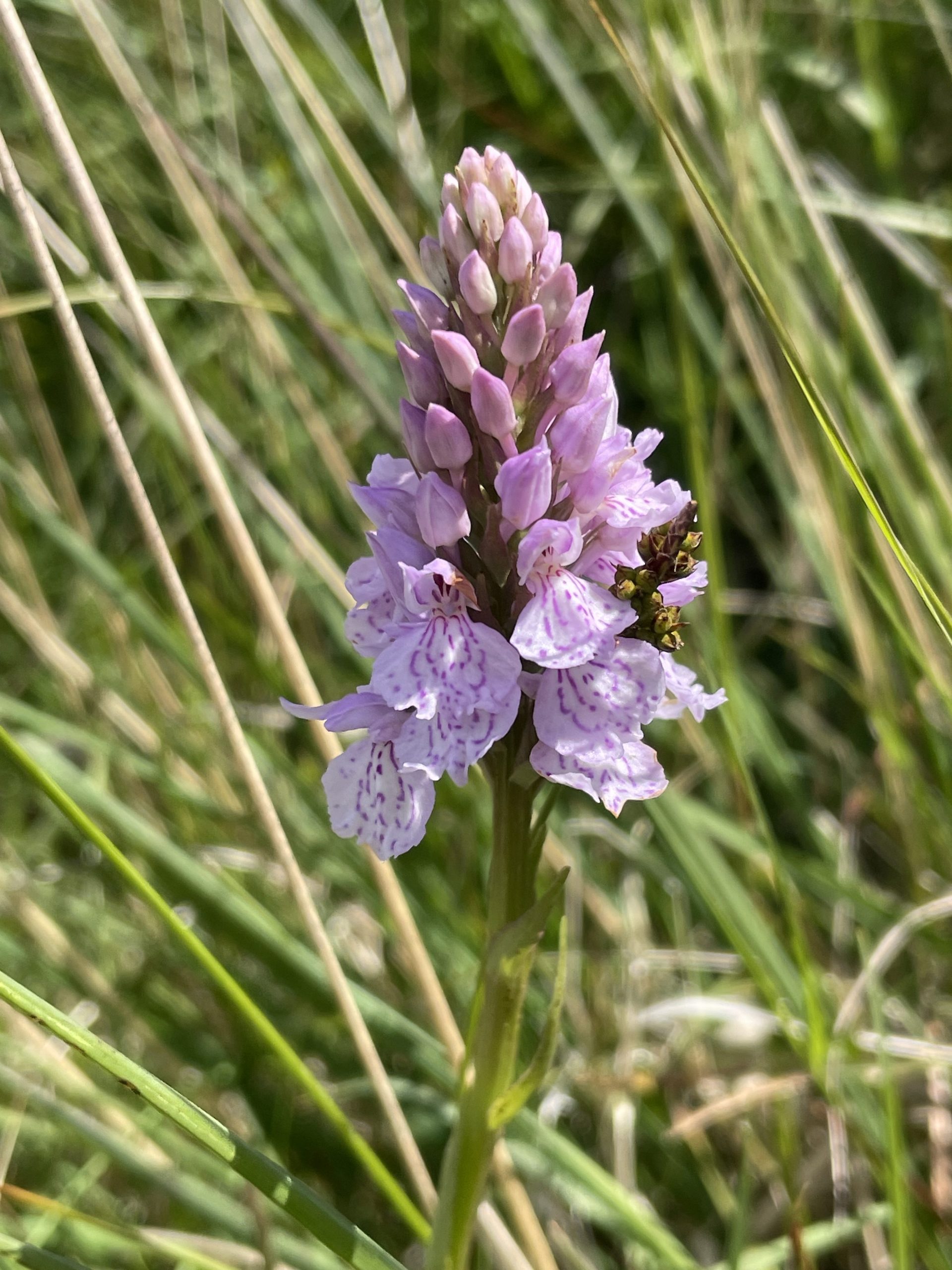
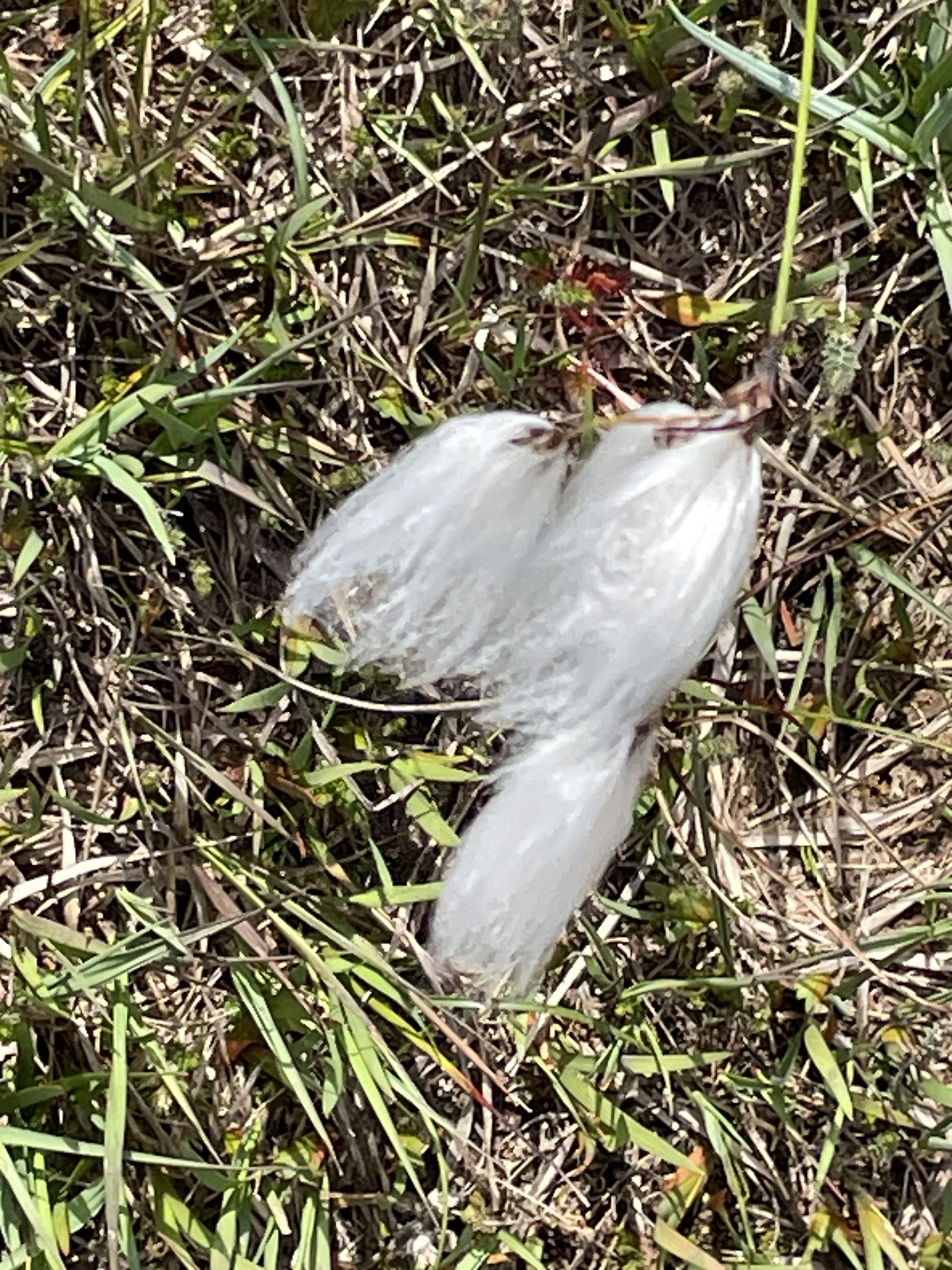
Flora along the wayside
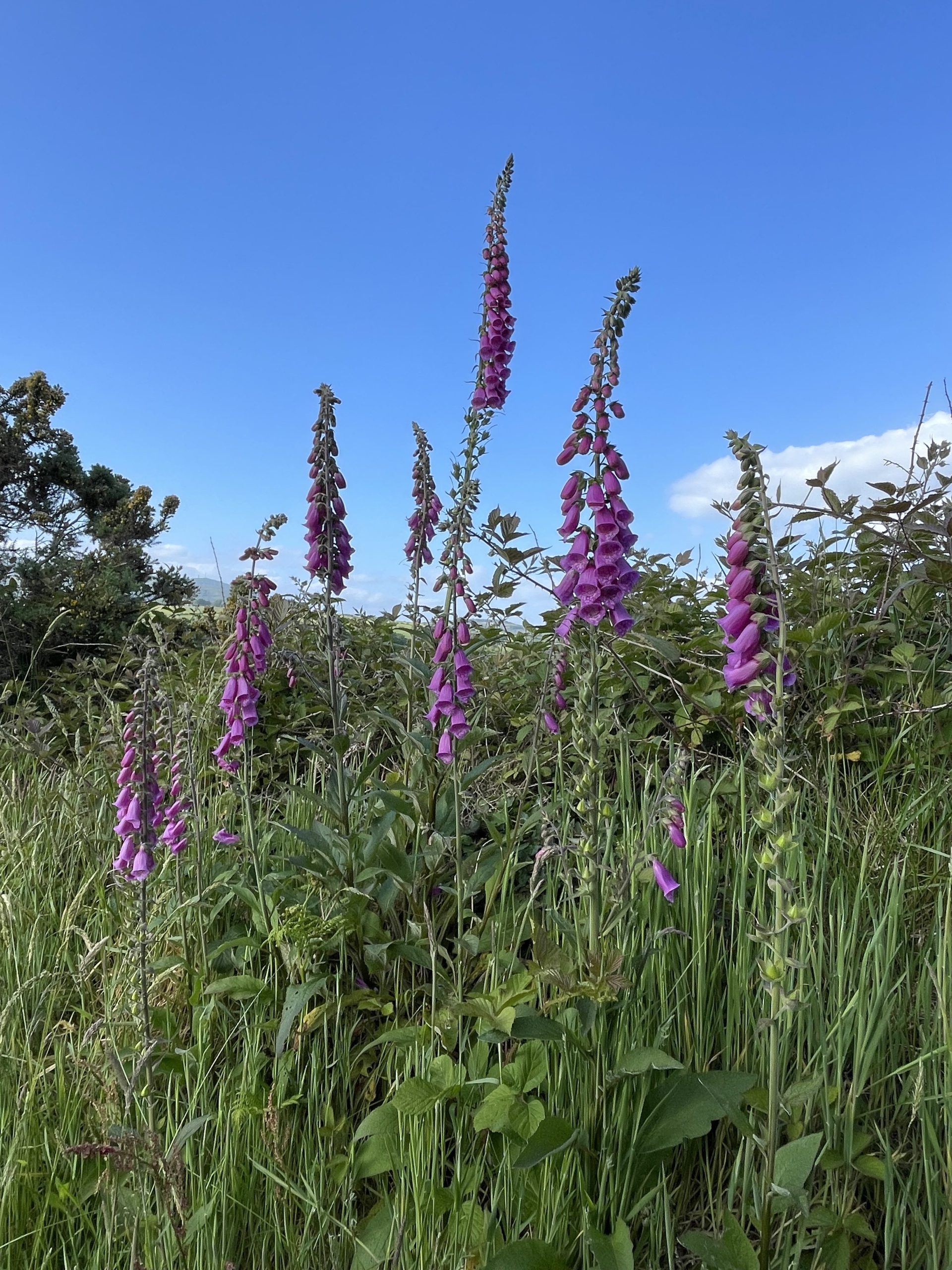
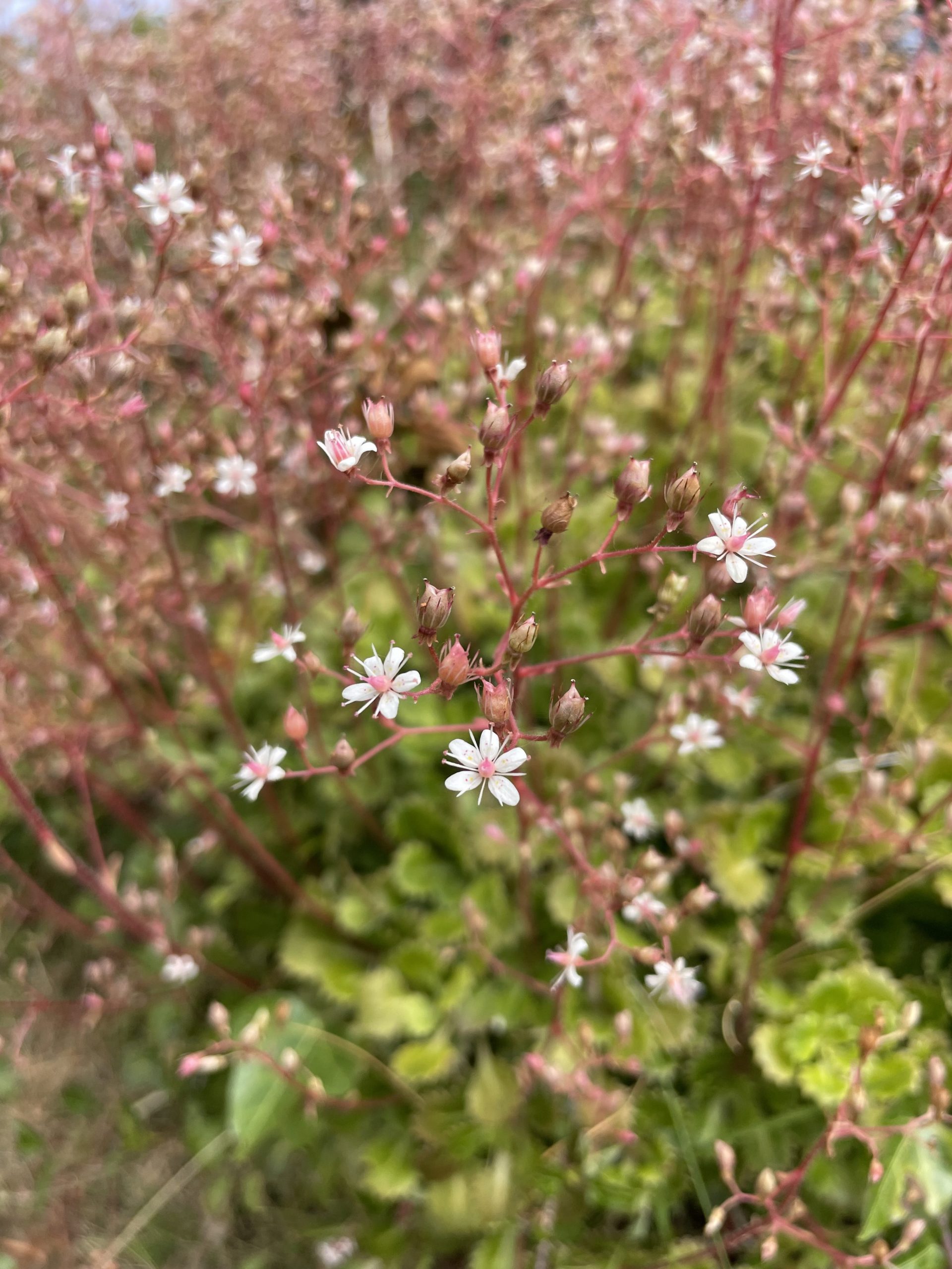


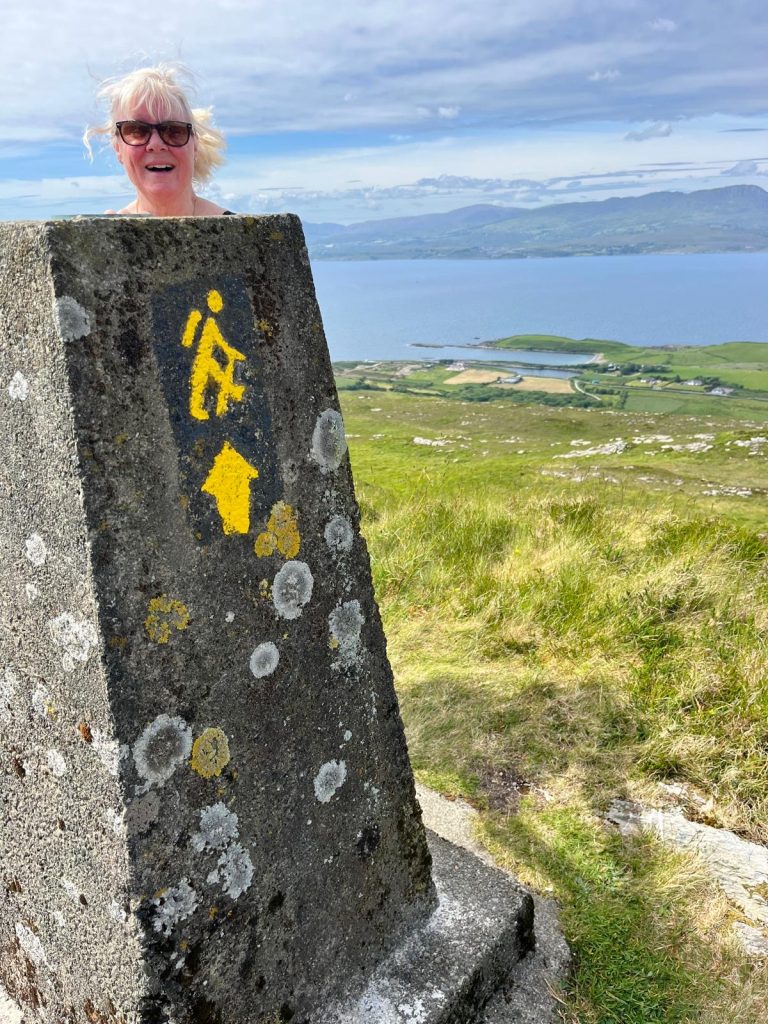

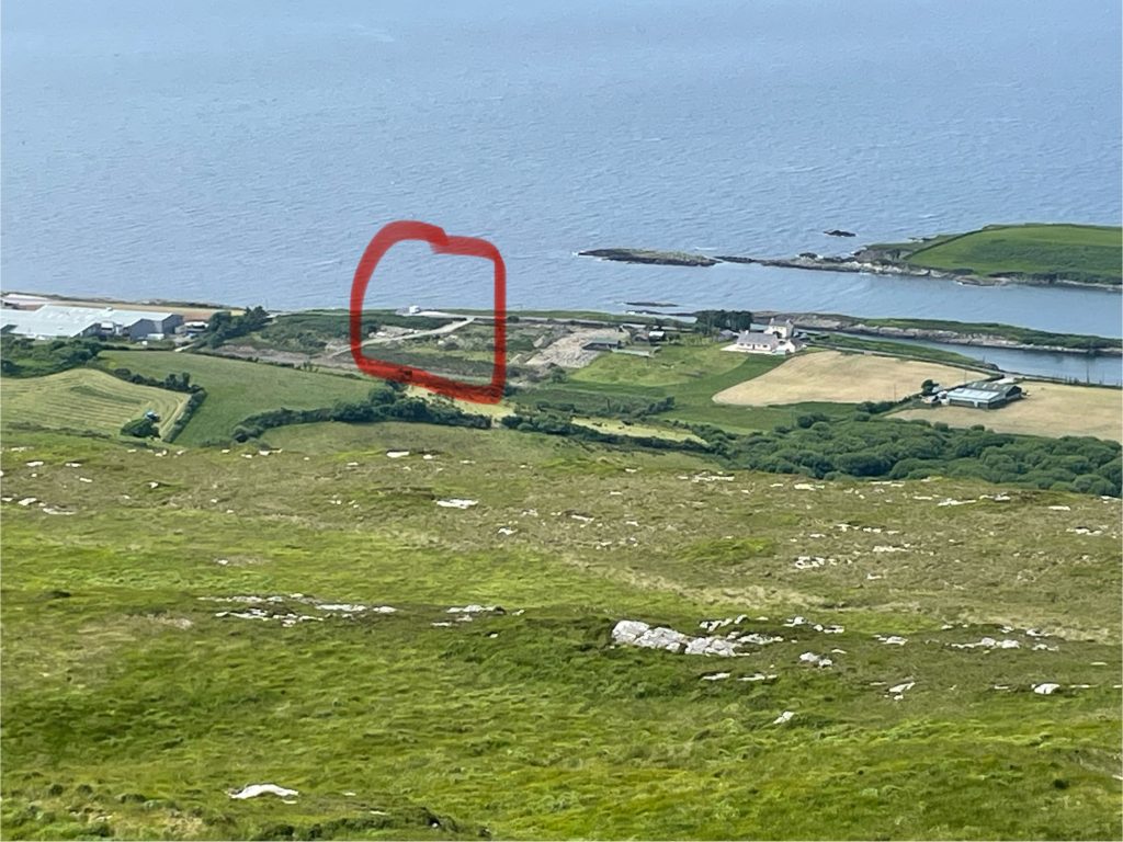
View from top of Sheepshead Way – there’s our camper
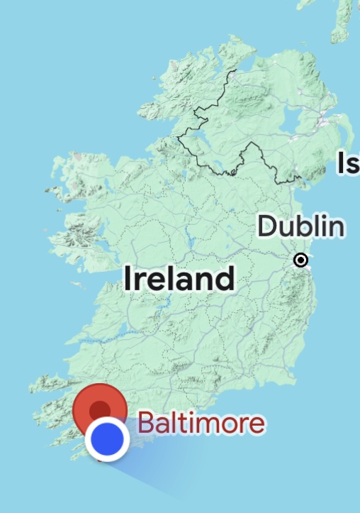
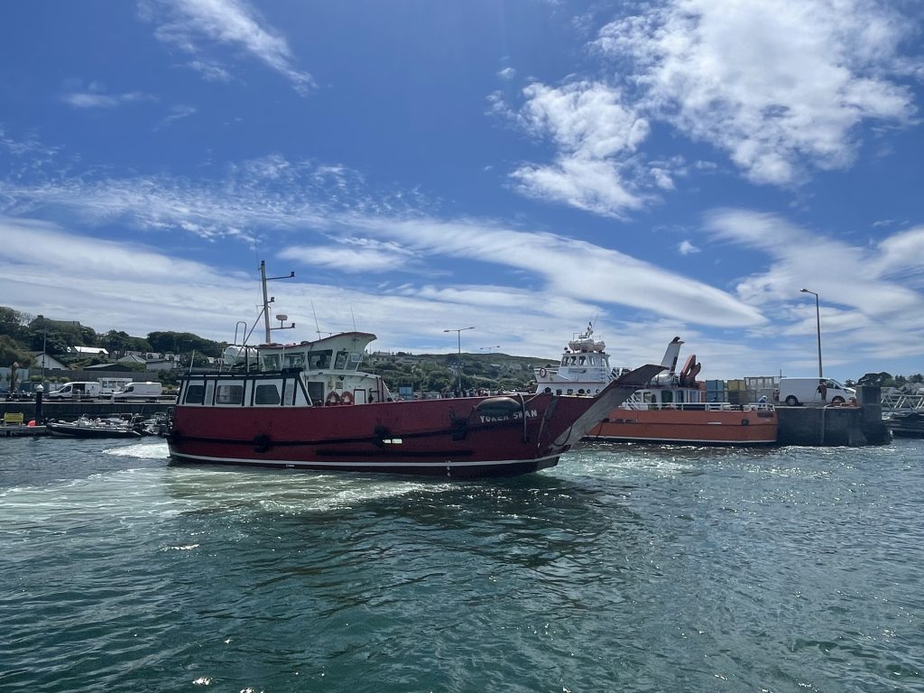
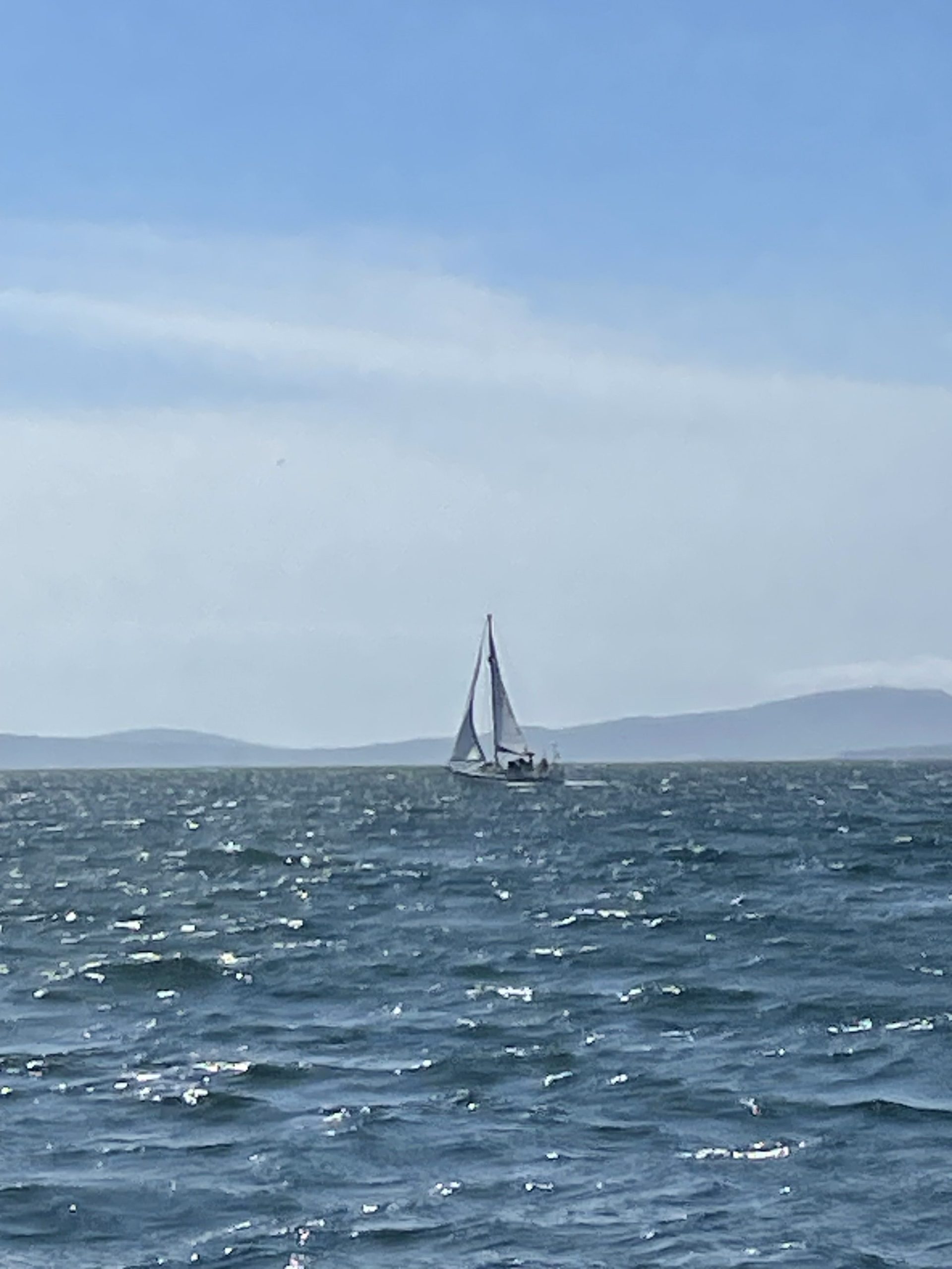
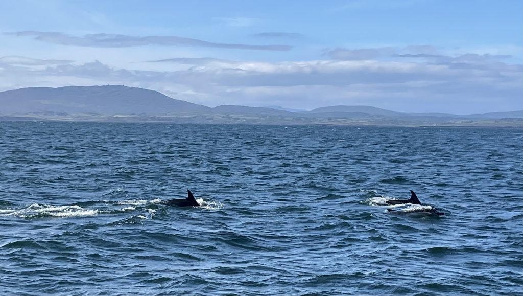
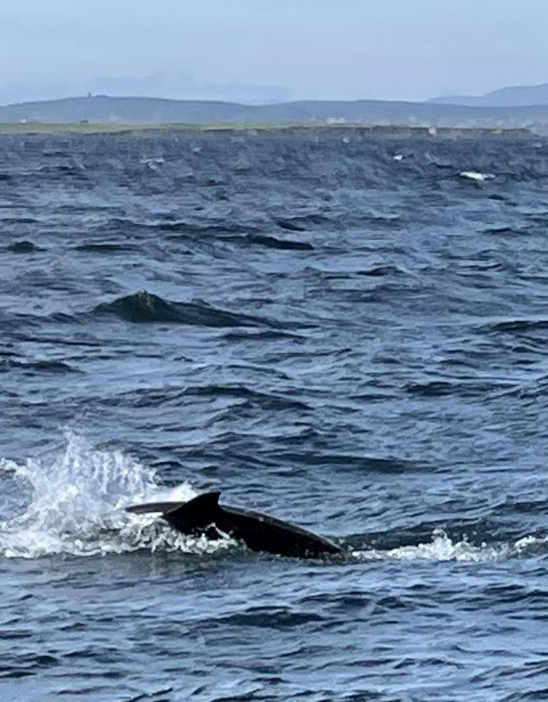
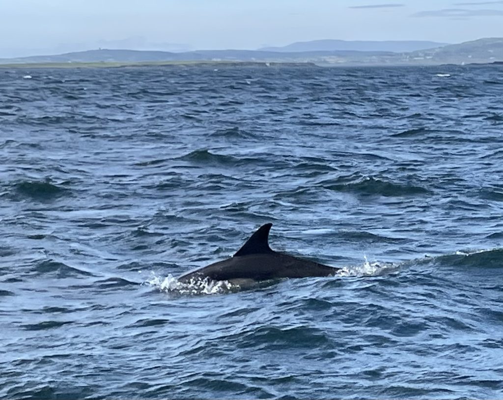
Boat trip from Baltimore – southernmost town in Ireland – out to Fastnet Lighthouse and beyond – in search of dolphins & whales




Does my bum look big in this?


Third night wild camping overlooking Baltimore Harbour
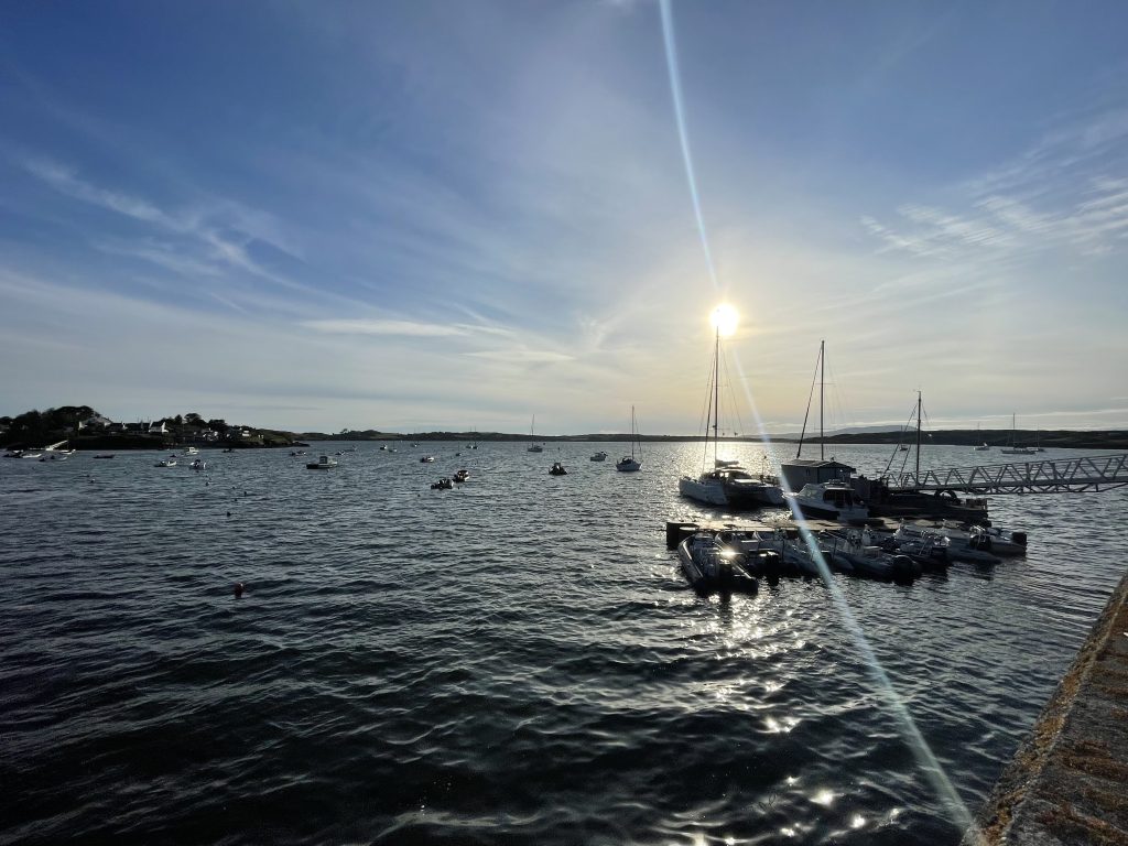
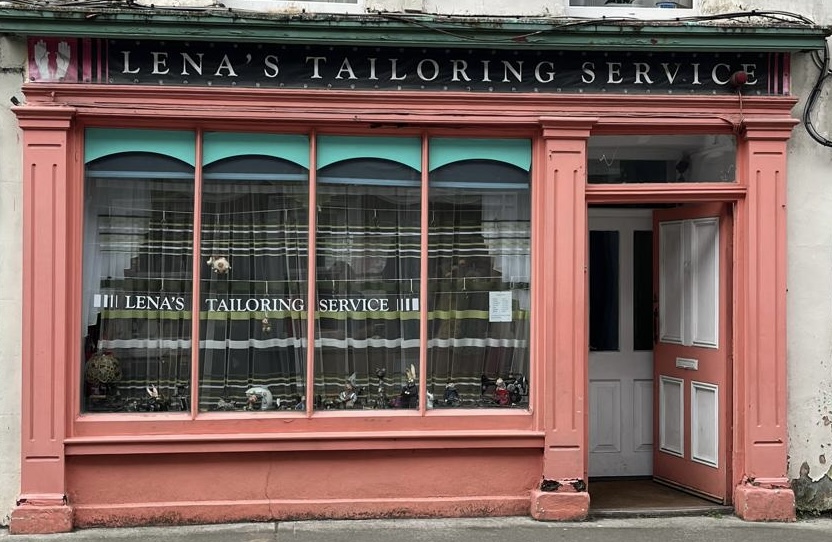
Skibbereen
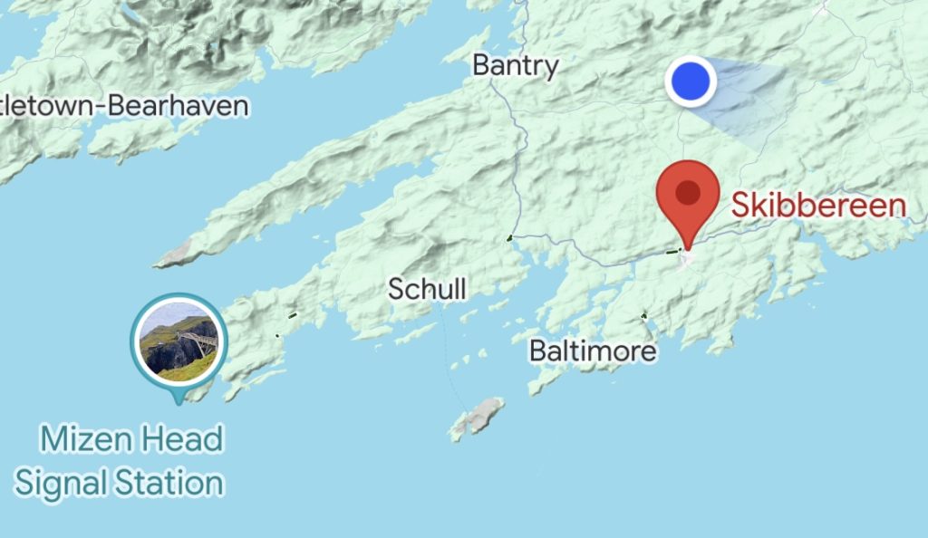
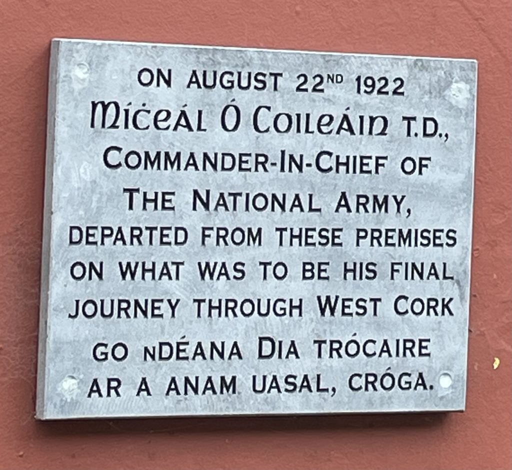
Two leading figures in the fight for Irish independence have wall plaques in Skibbereen


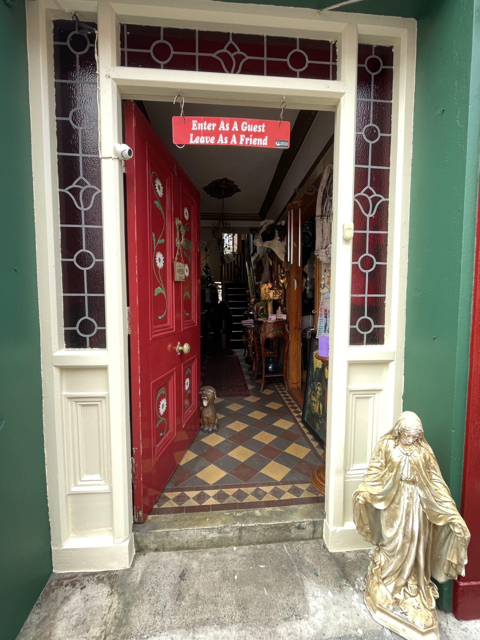
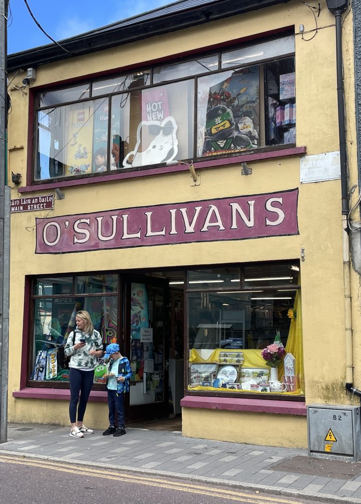
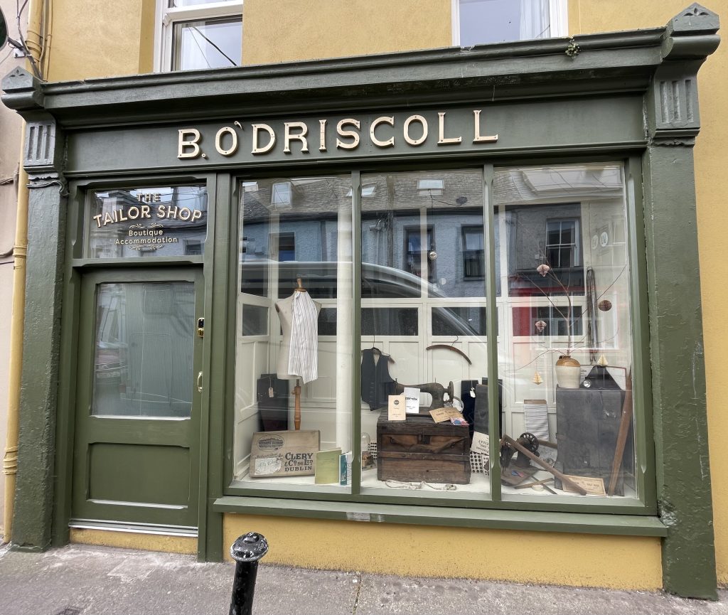
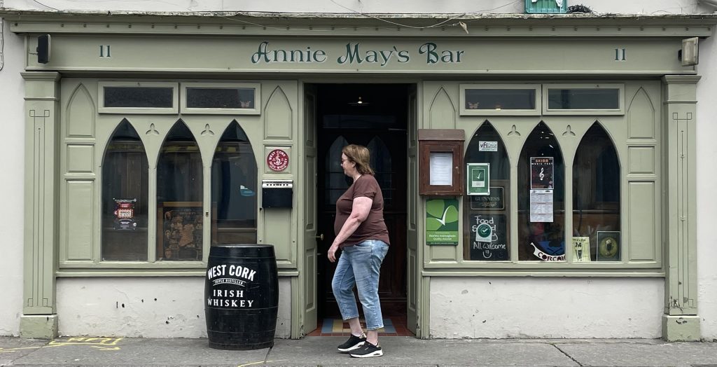


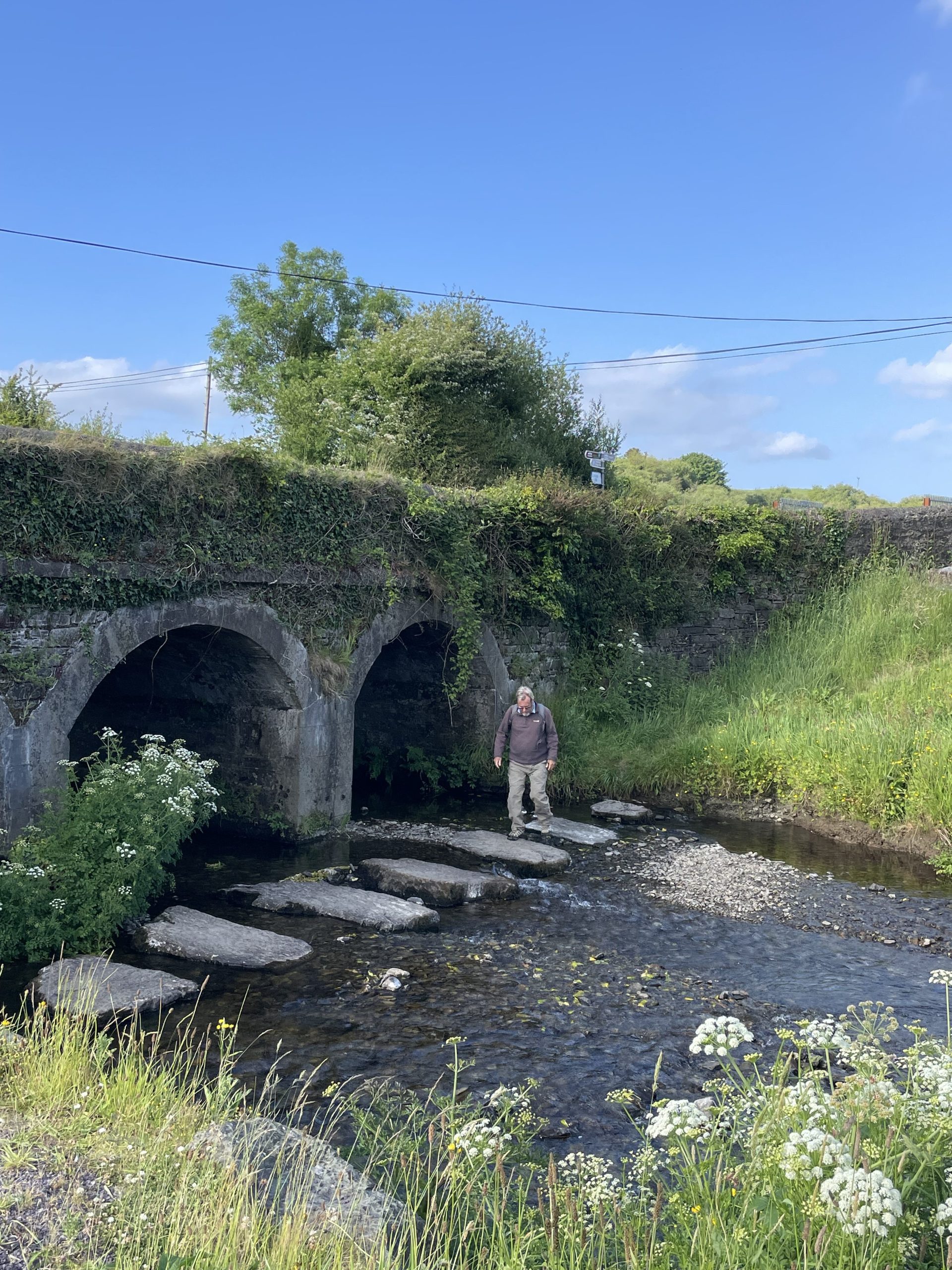
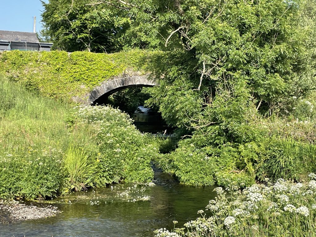

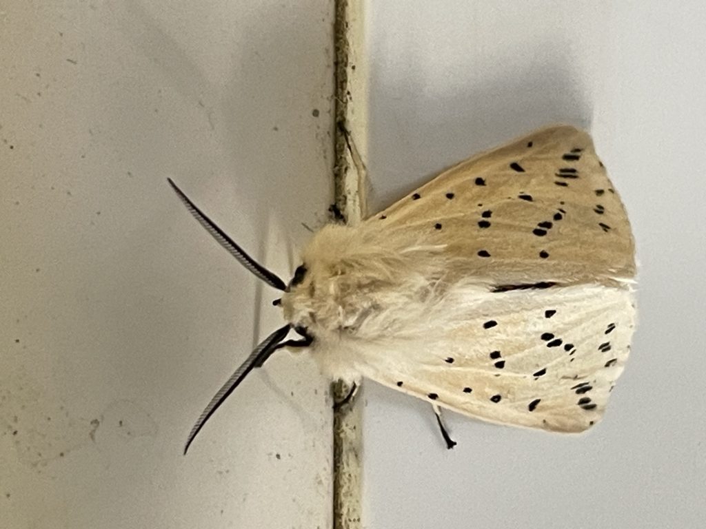

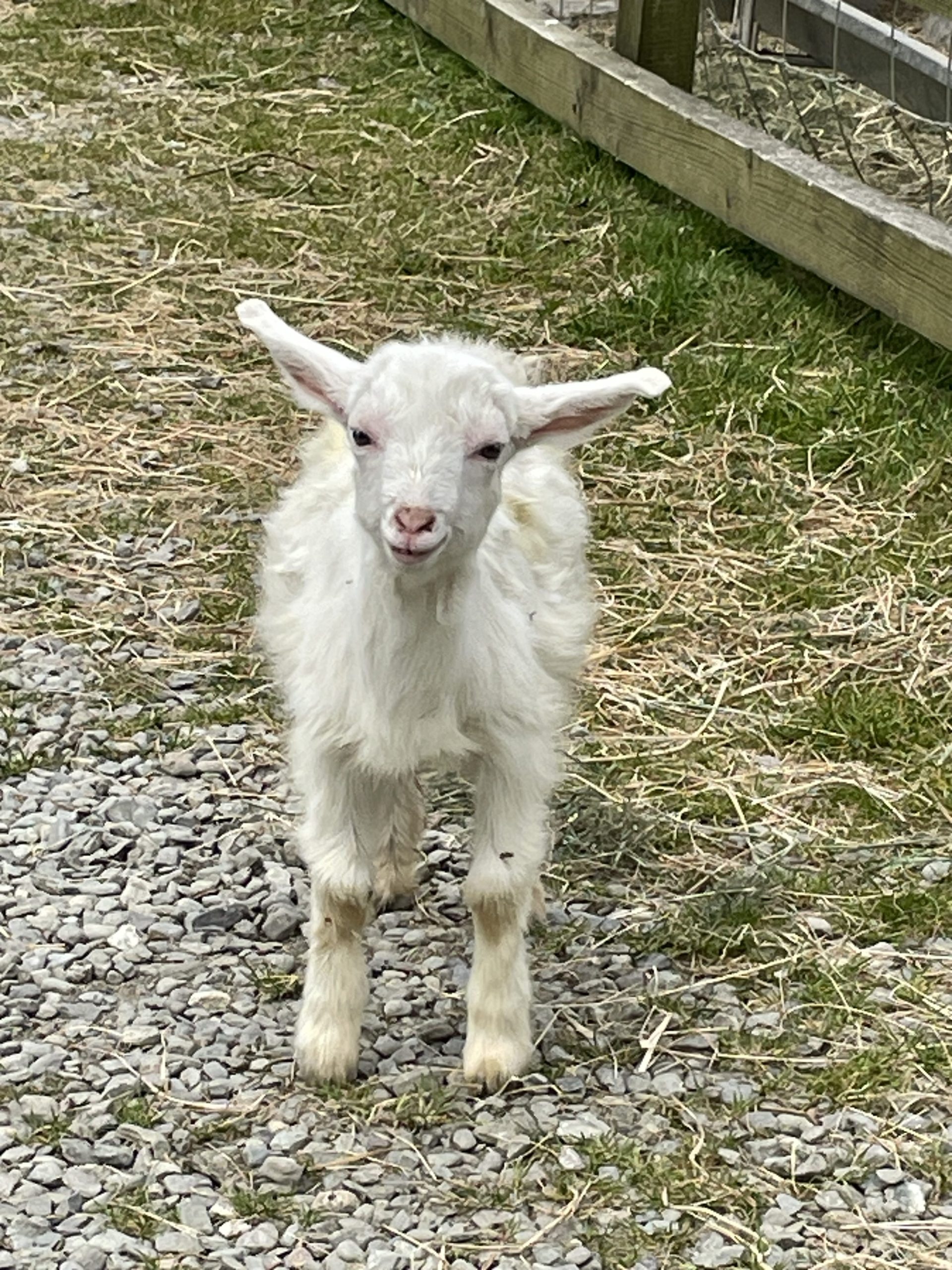
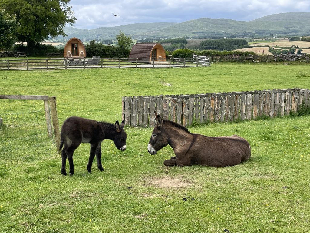
Now! We’ve seen Jesus Mary and Joseph, and the wee donkey, so we have.

Before
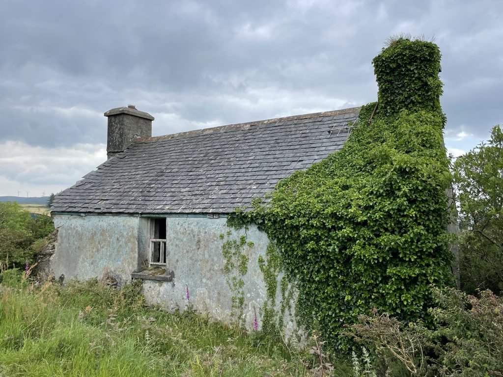
Now
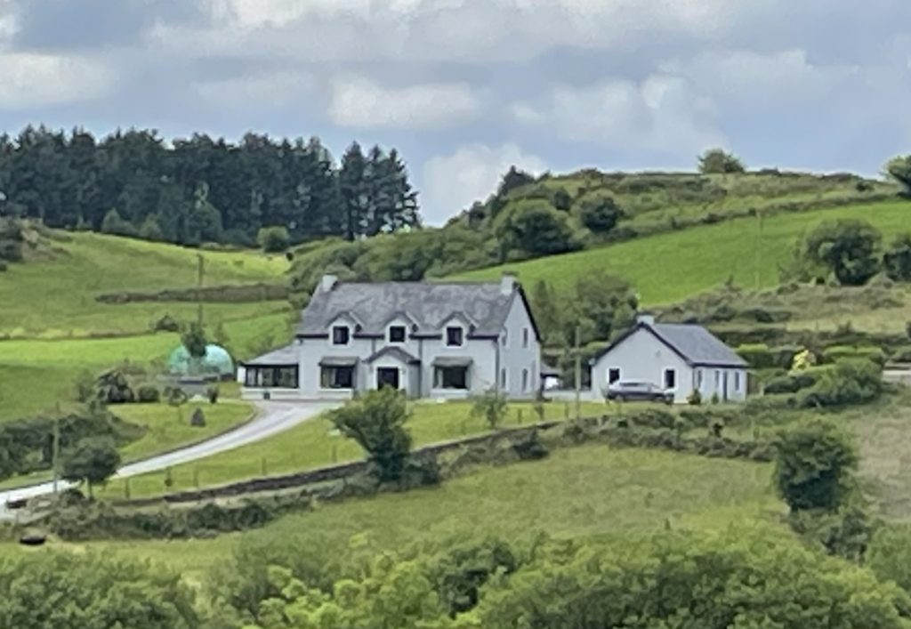
Before
Now

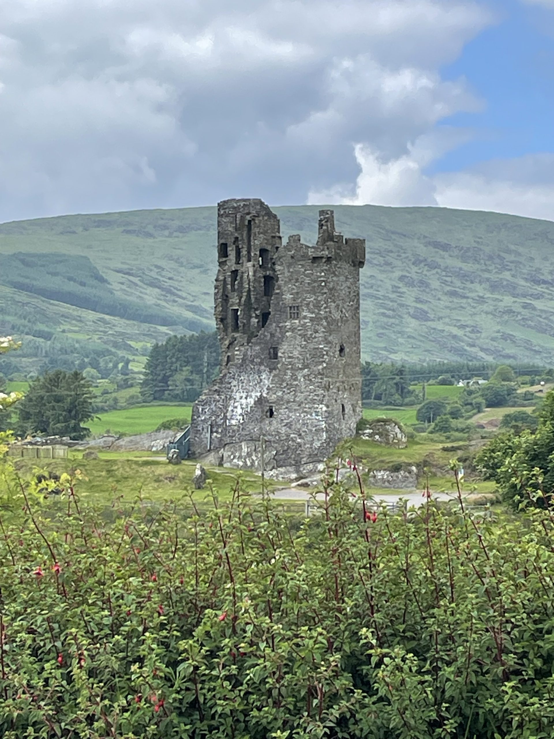
Now and forever
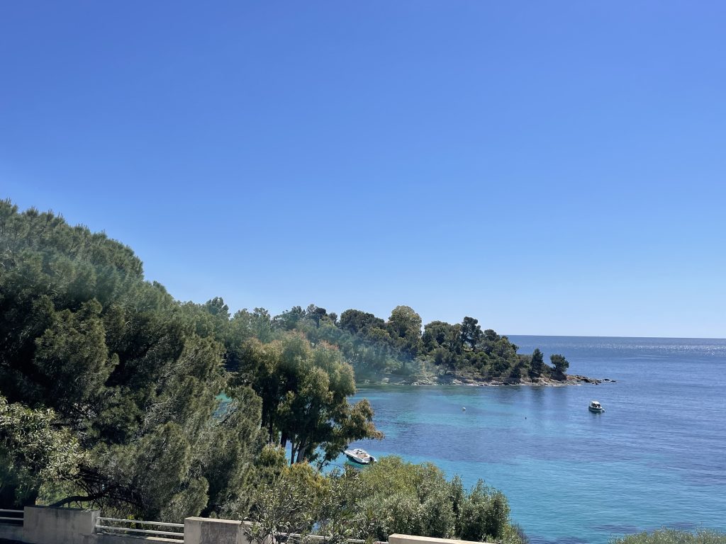
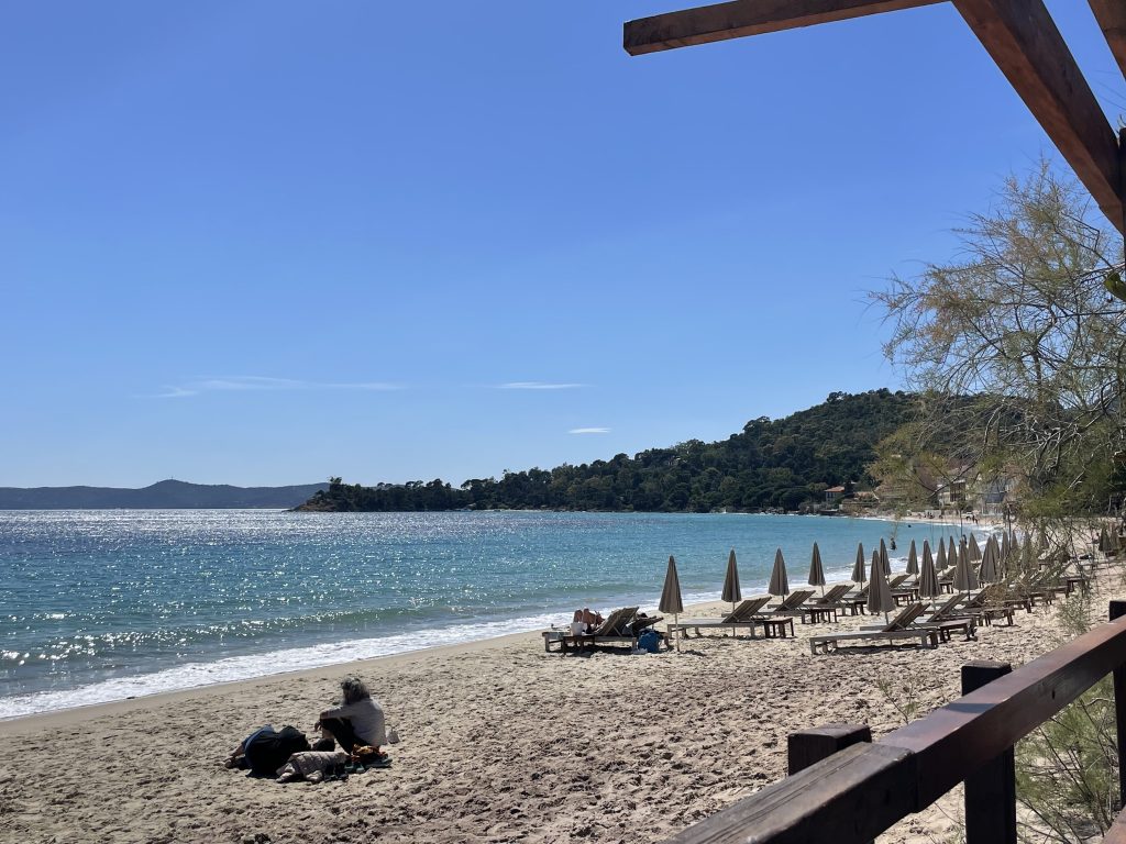
Having spent our last day on the Mediterranean coast cycling the Corniche des Maures which links Le Lavandou and Cavalaire sur Mer, it was with heavy heart that we started the long drive home.
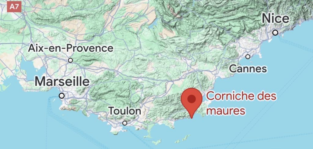
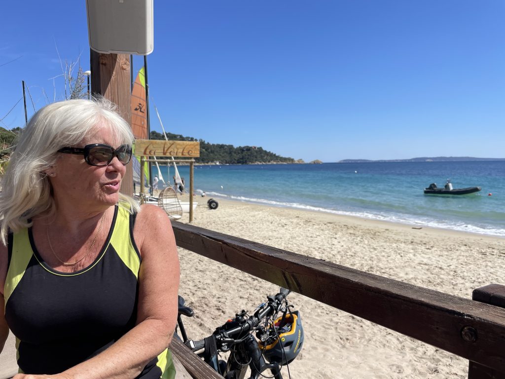
We drove west along the coast to Toulon where Penny had spent some weeks on a foreign exchange 50 years ago; she didn’t recognise any of it!
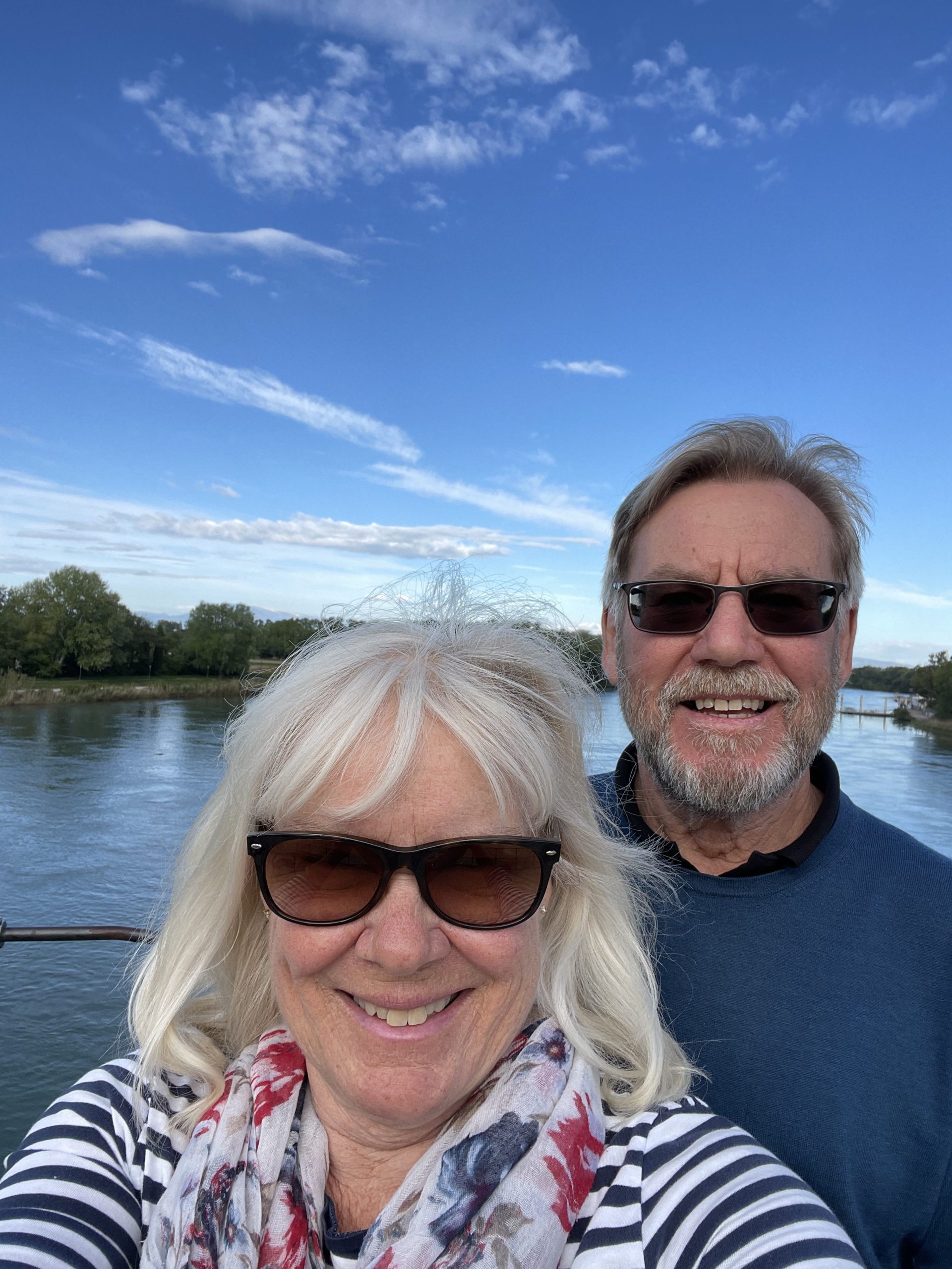
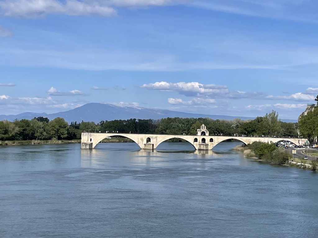
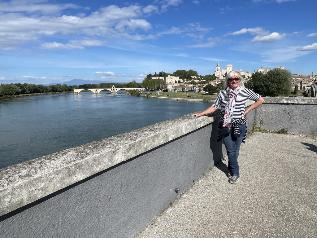
We then headed inland to Avignon, with just enough time to whizz around the C14th Papal Palace and have a dance on the Pont d’Avignon.
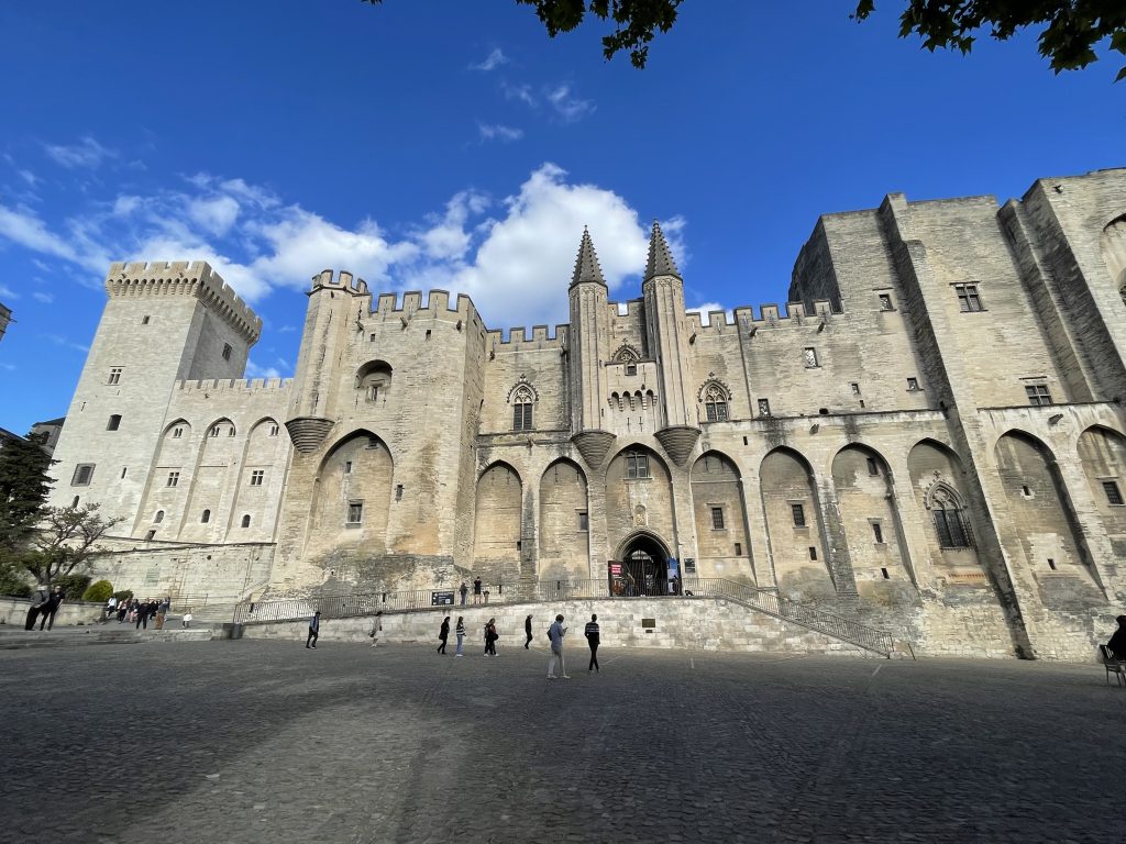
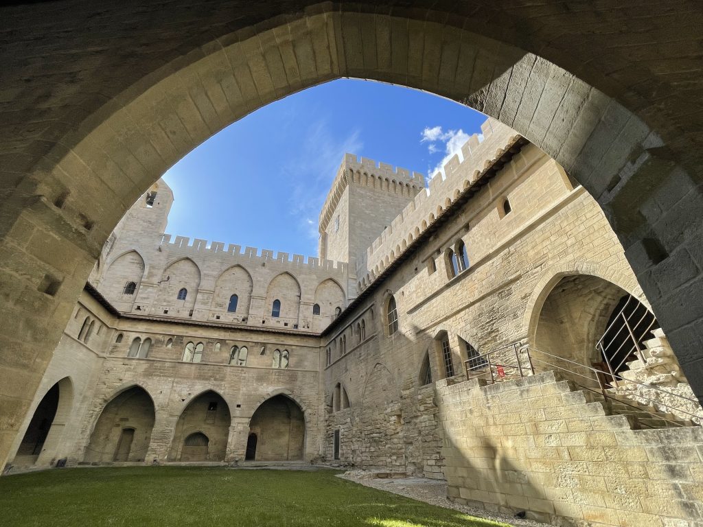
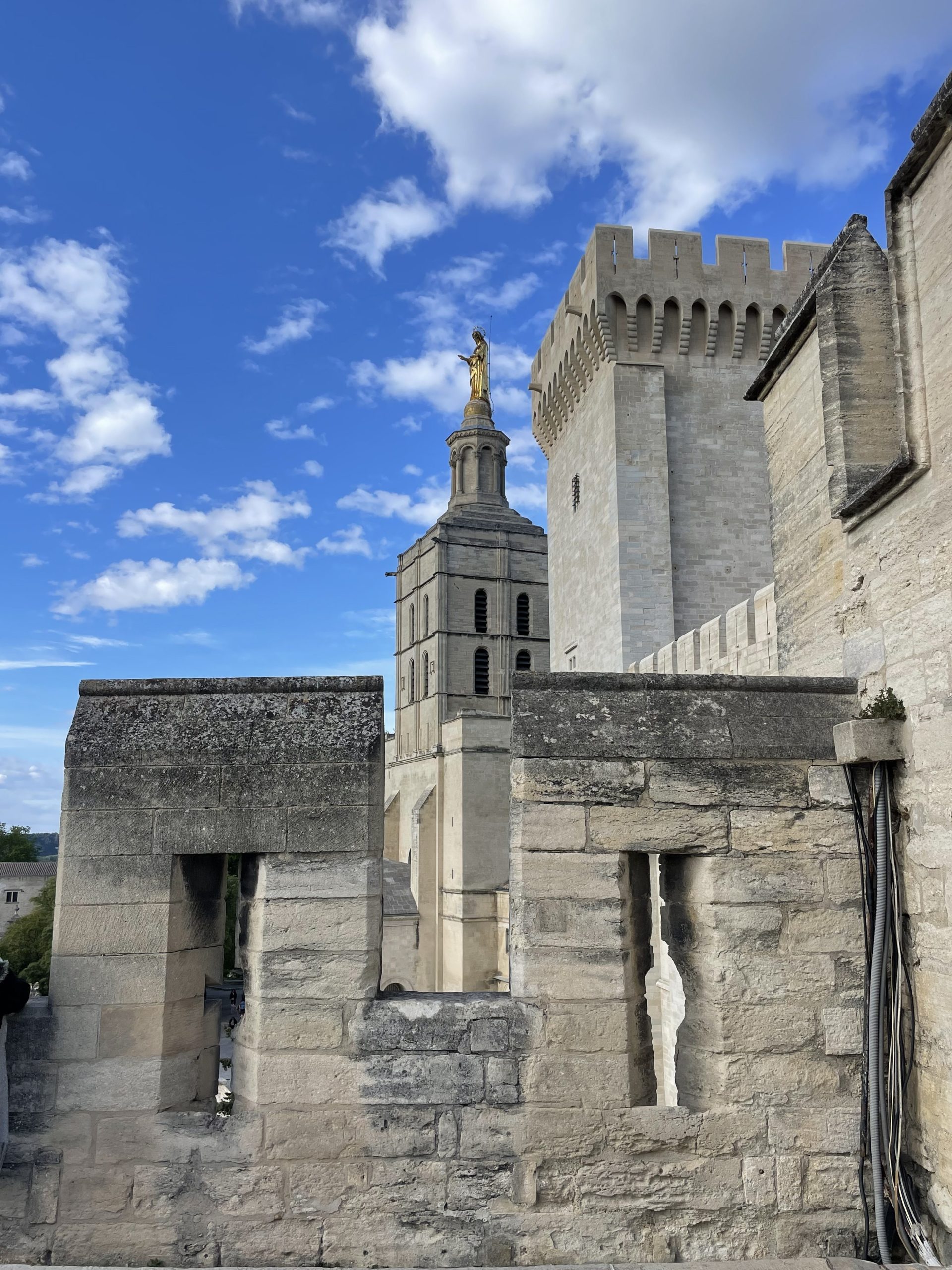
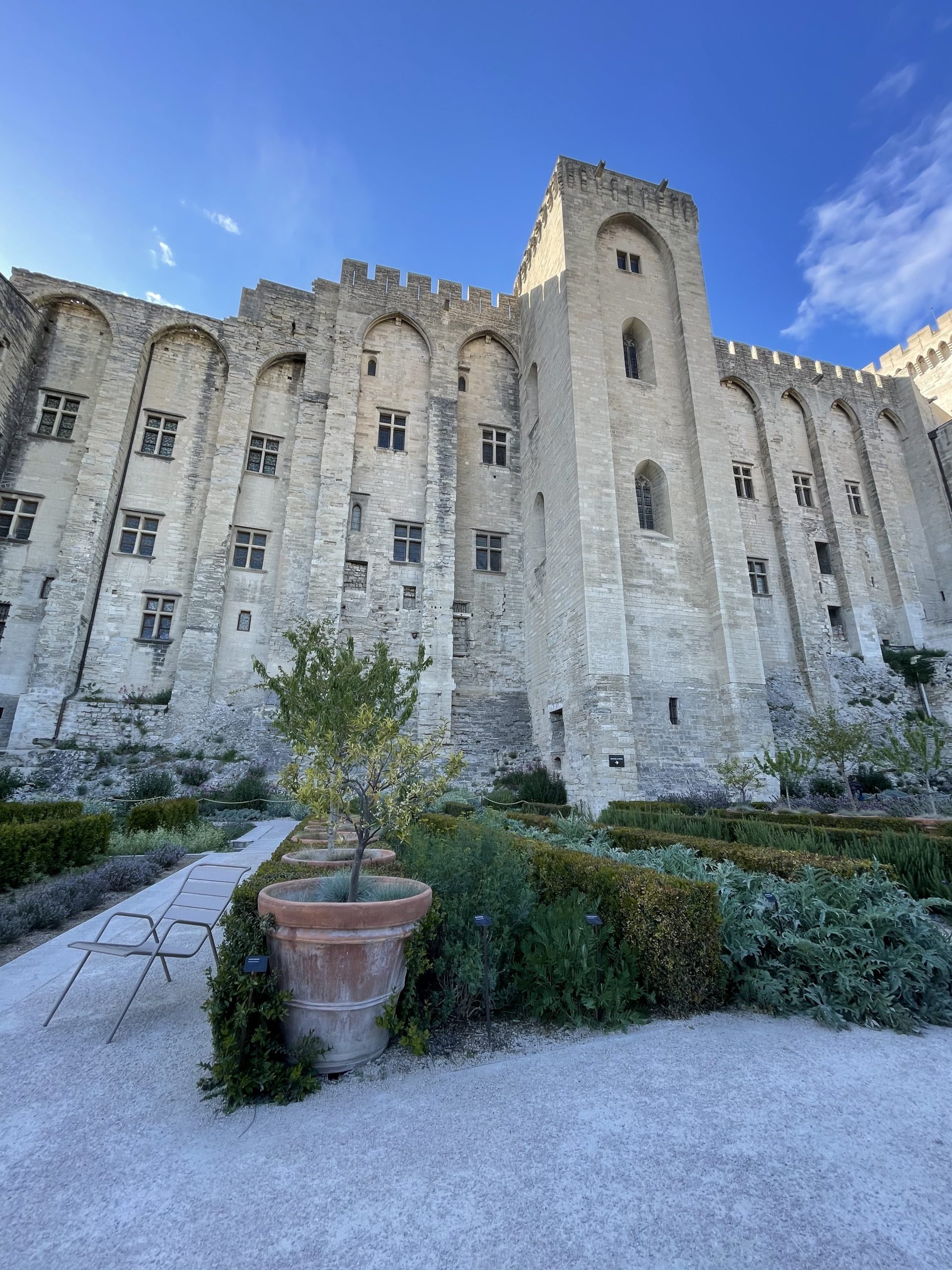
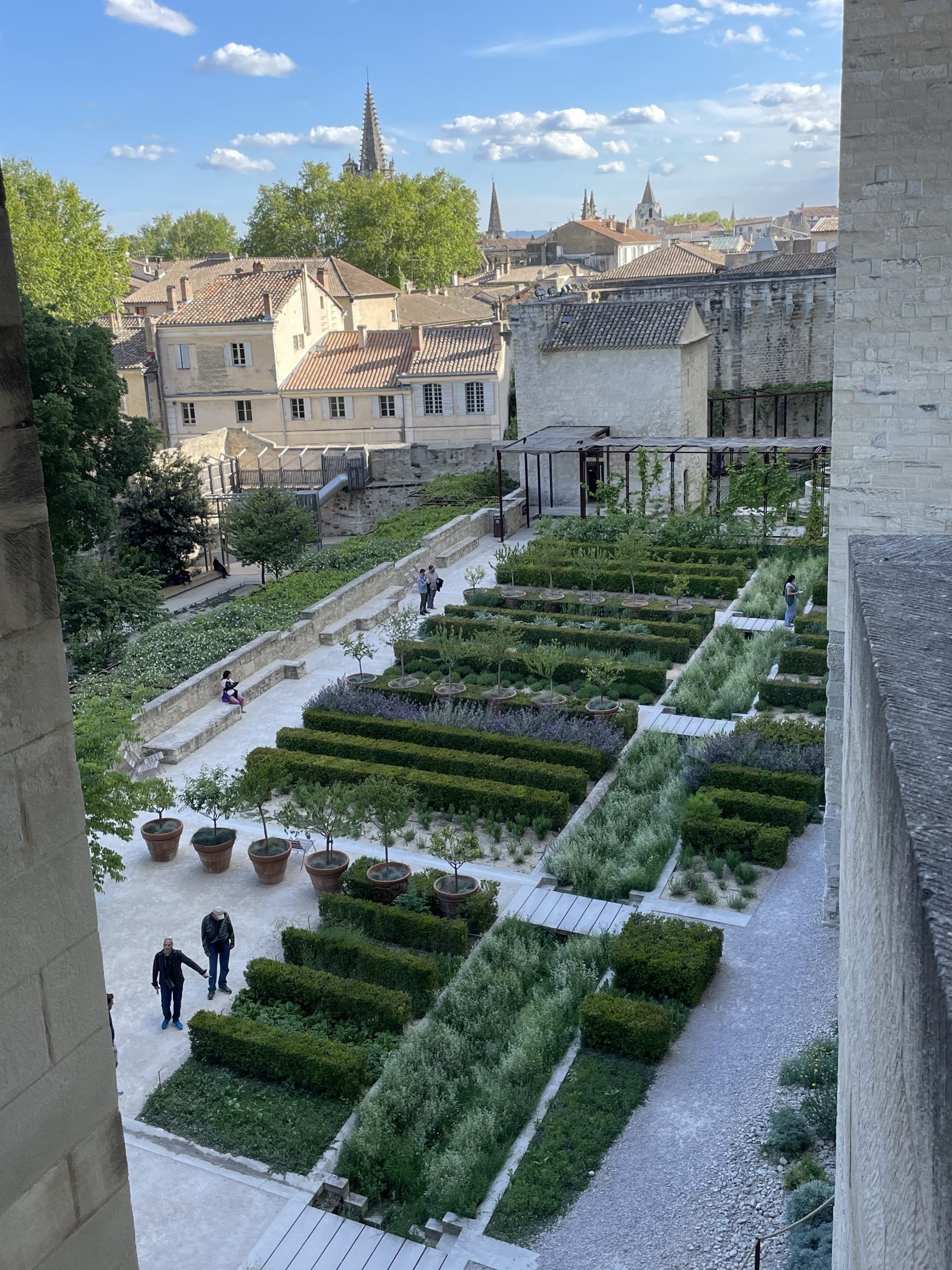
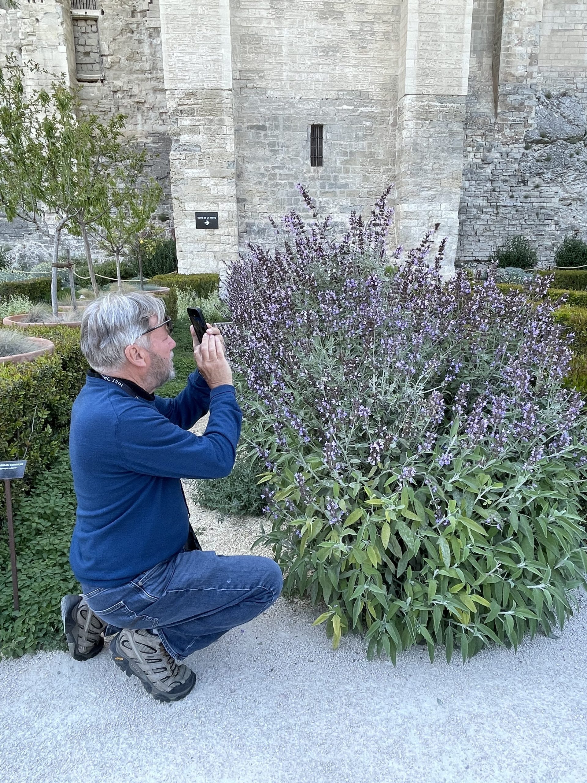
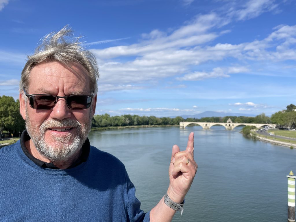
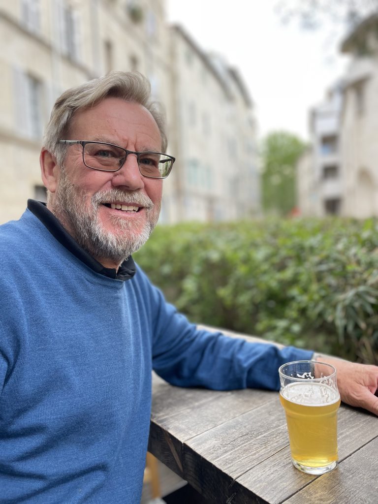
And then on to a chateau at Chateauneuf du Pape – one of the Pope’s XIV century summer palaces – for some wine tasting in one of the pebbled vineyards.
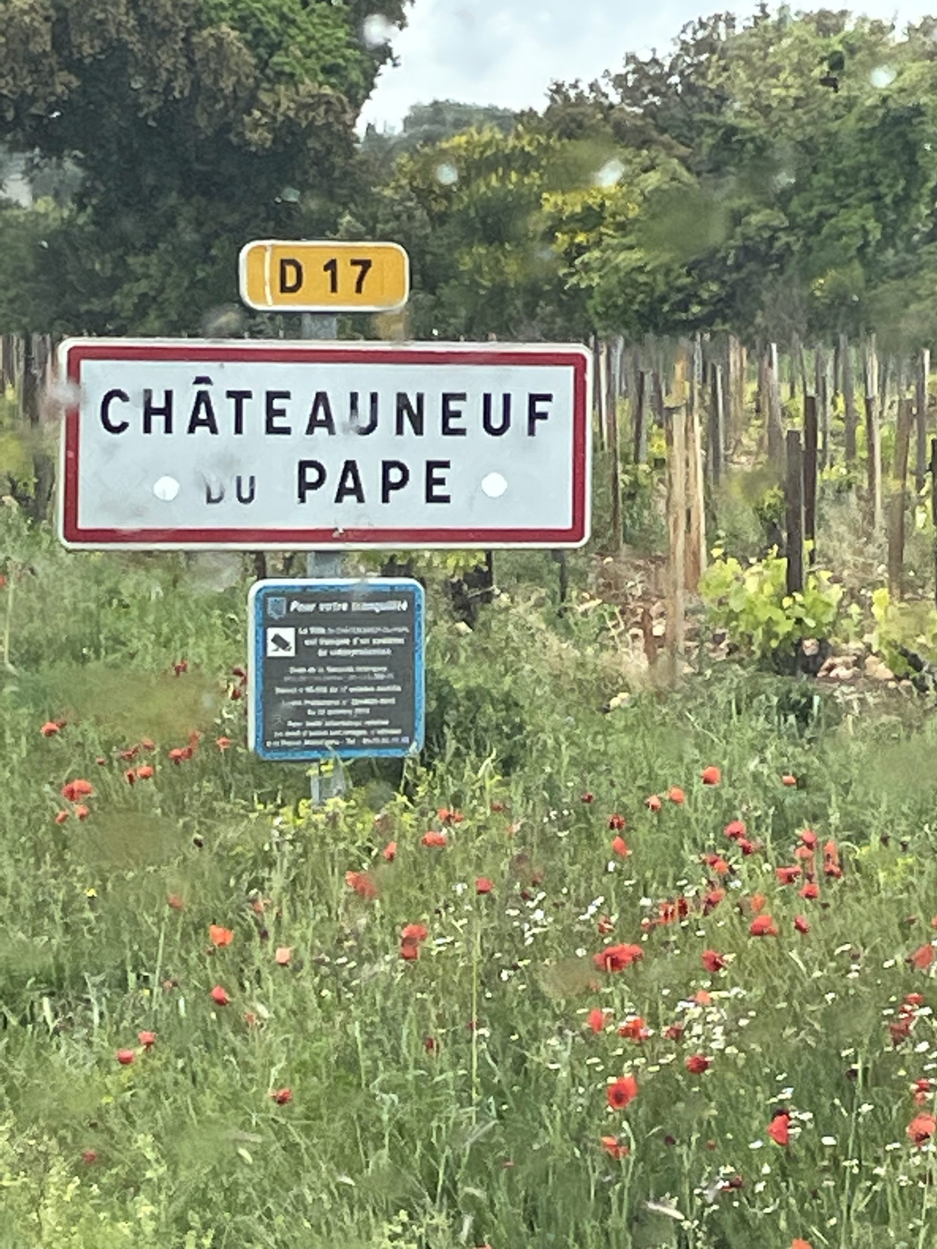
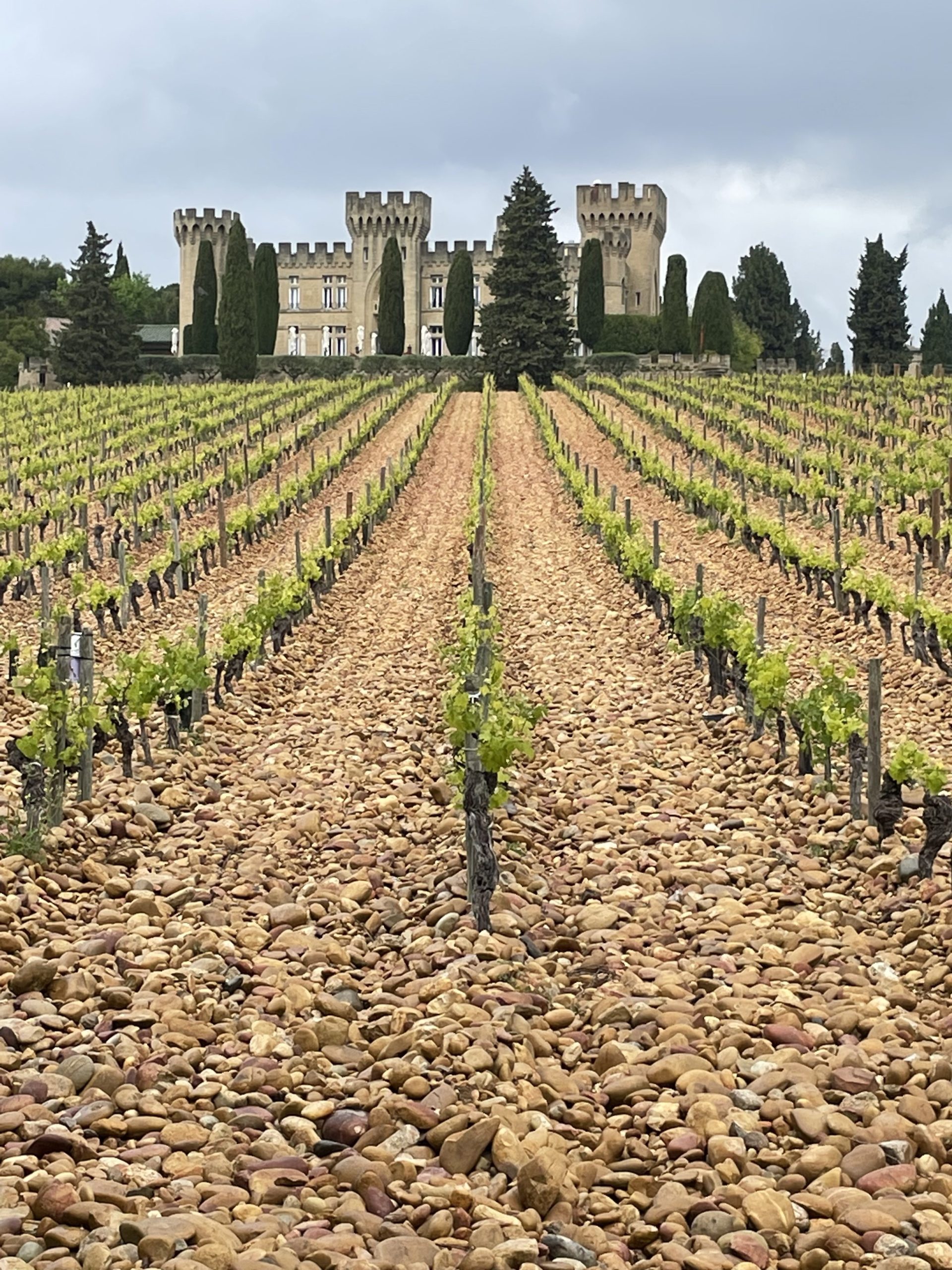
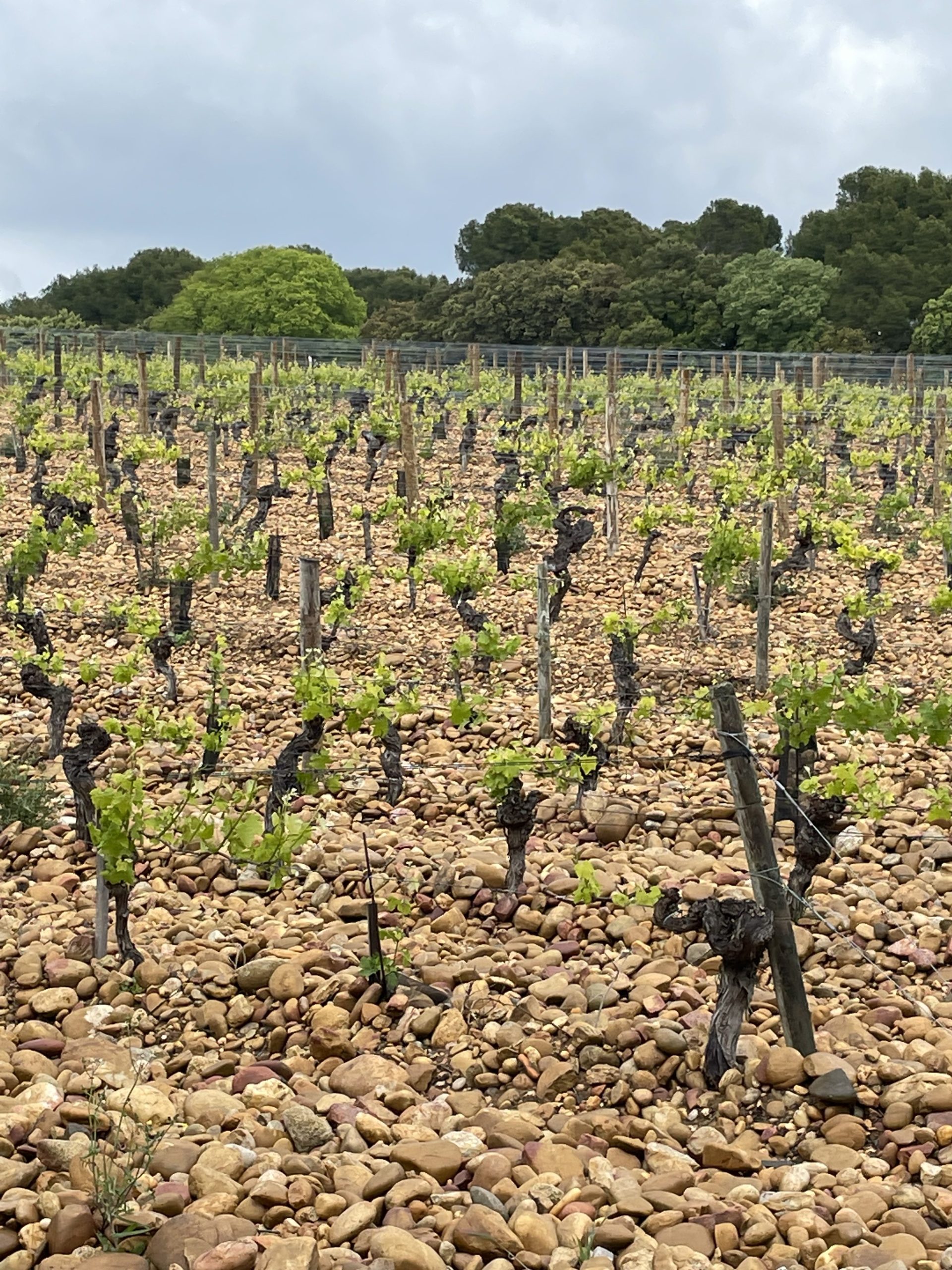
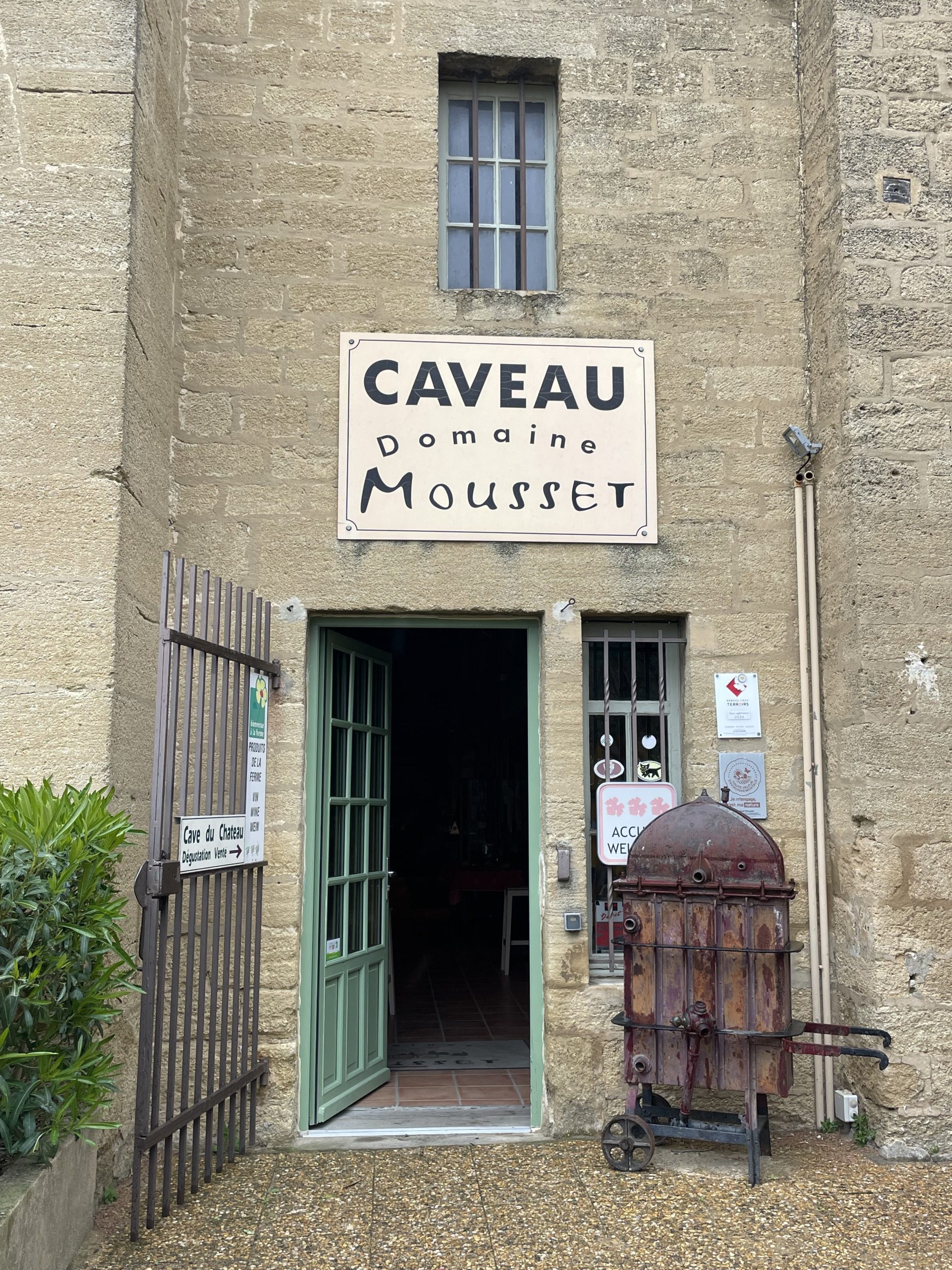
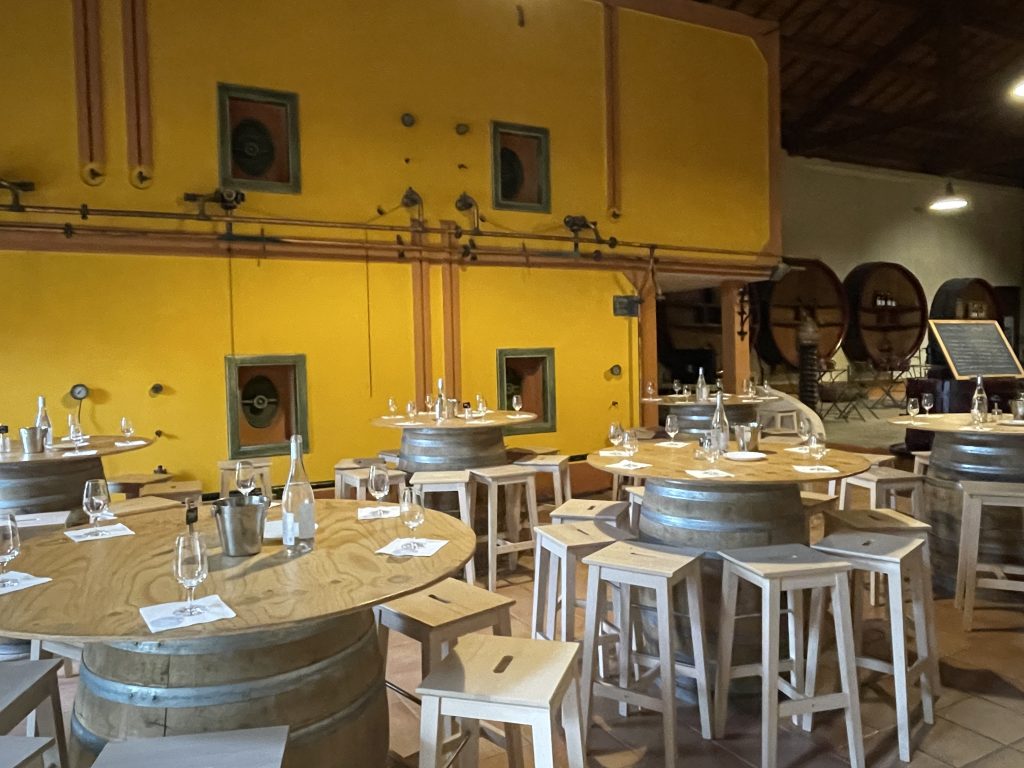
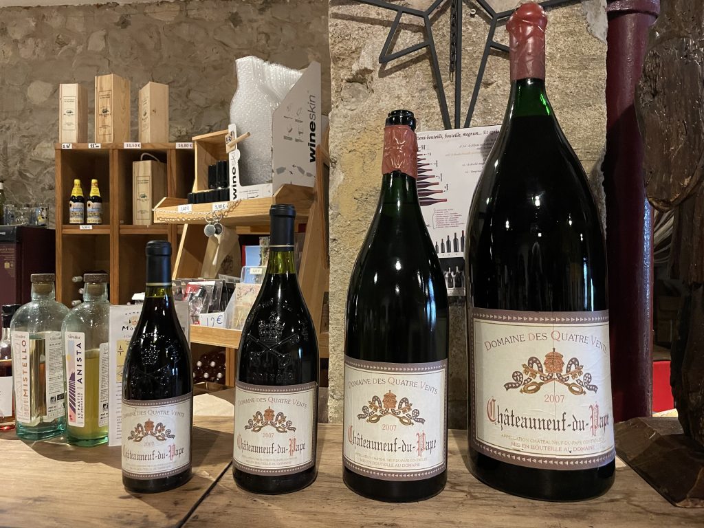
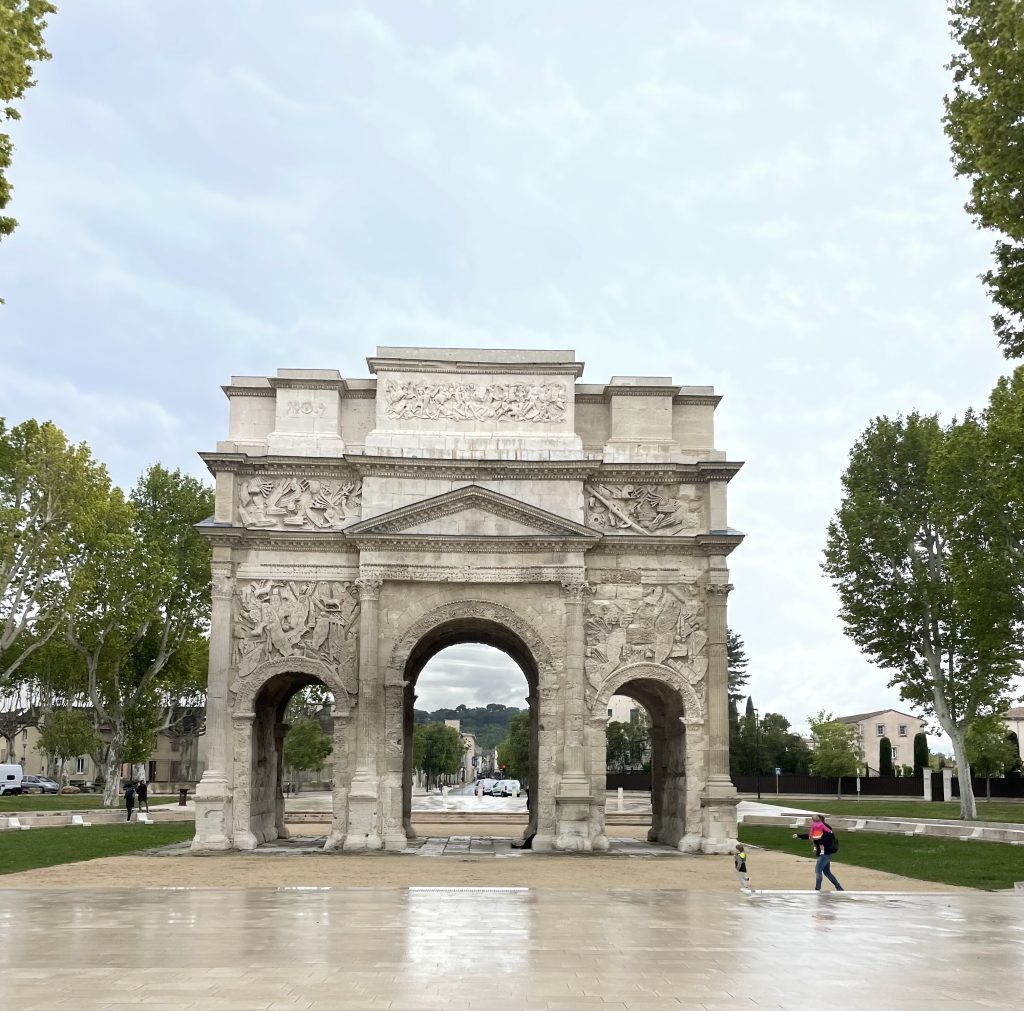
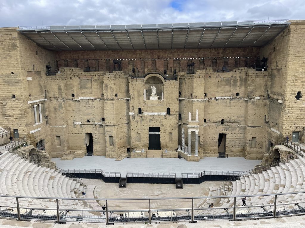
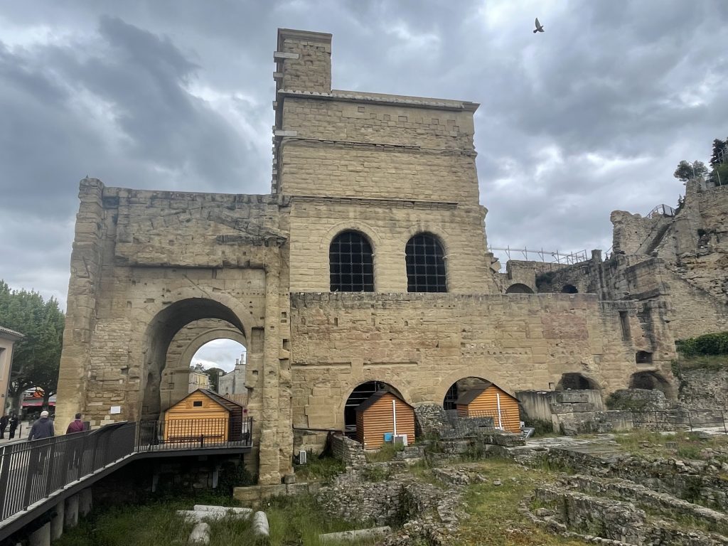
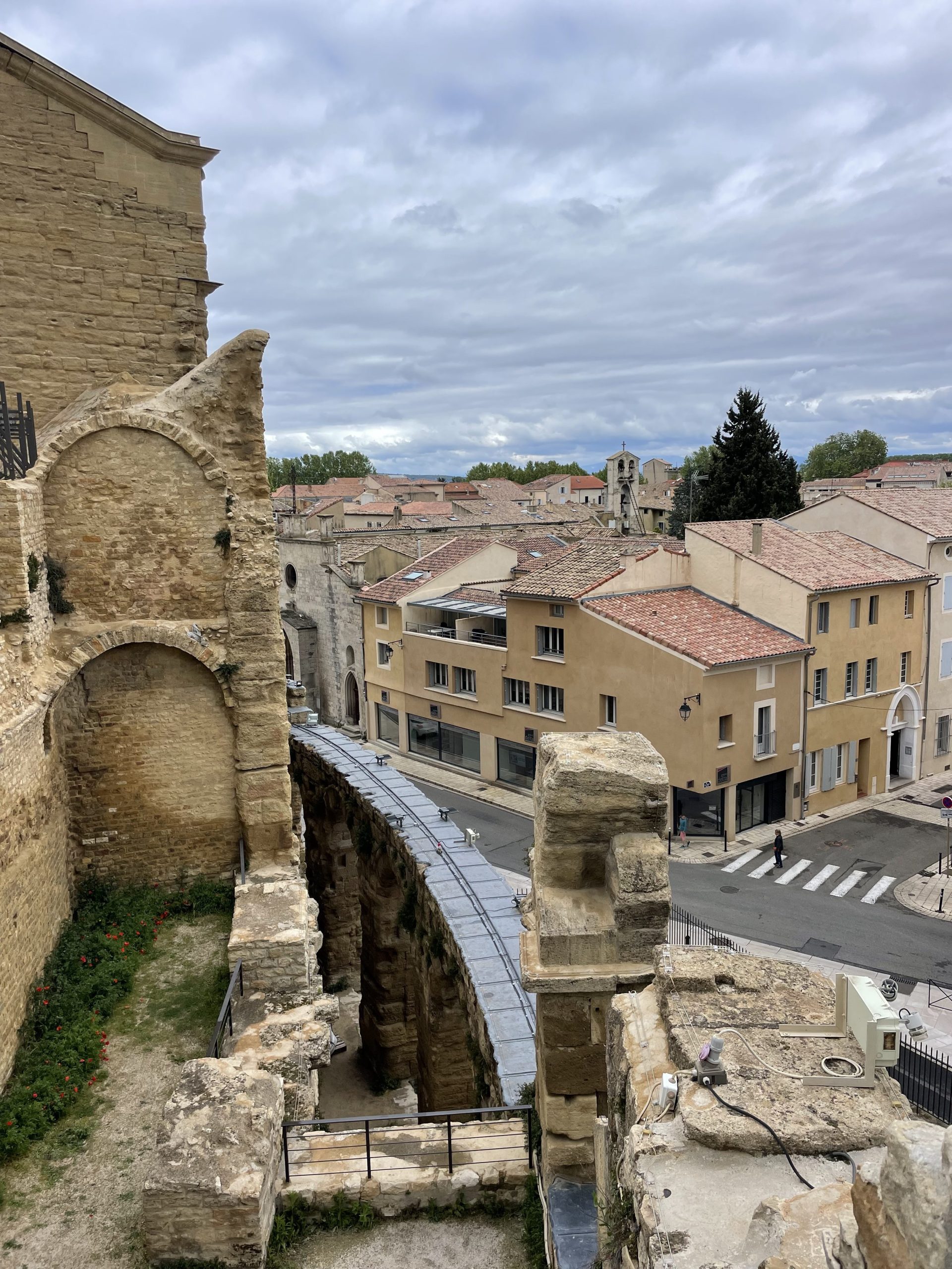
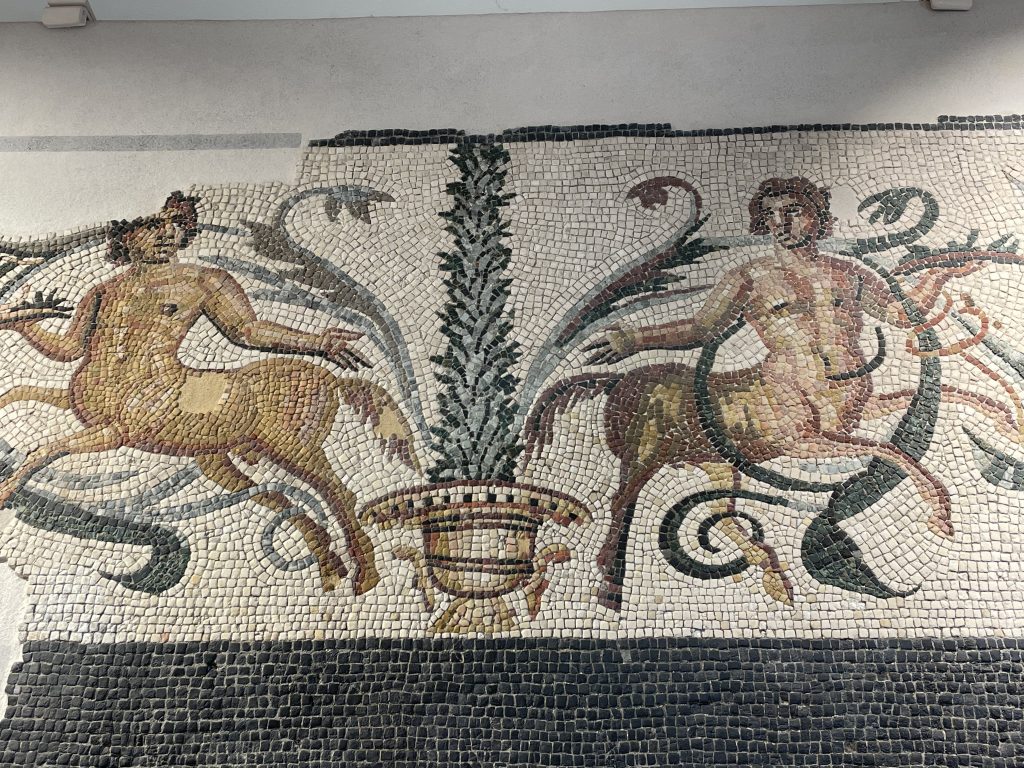
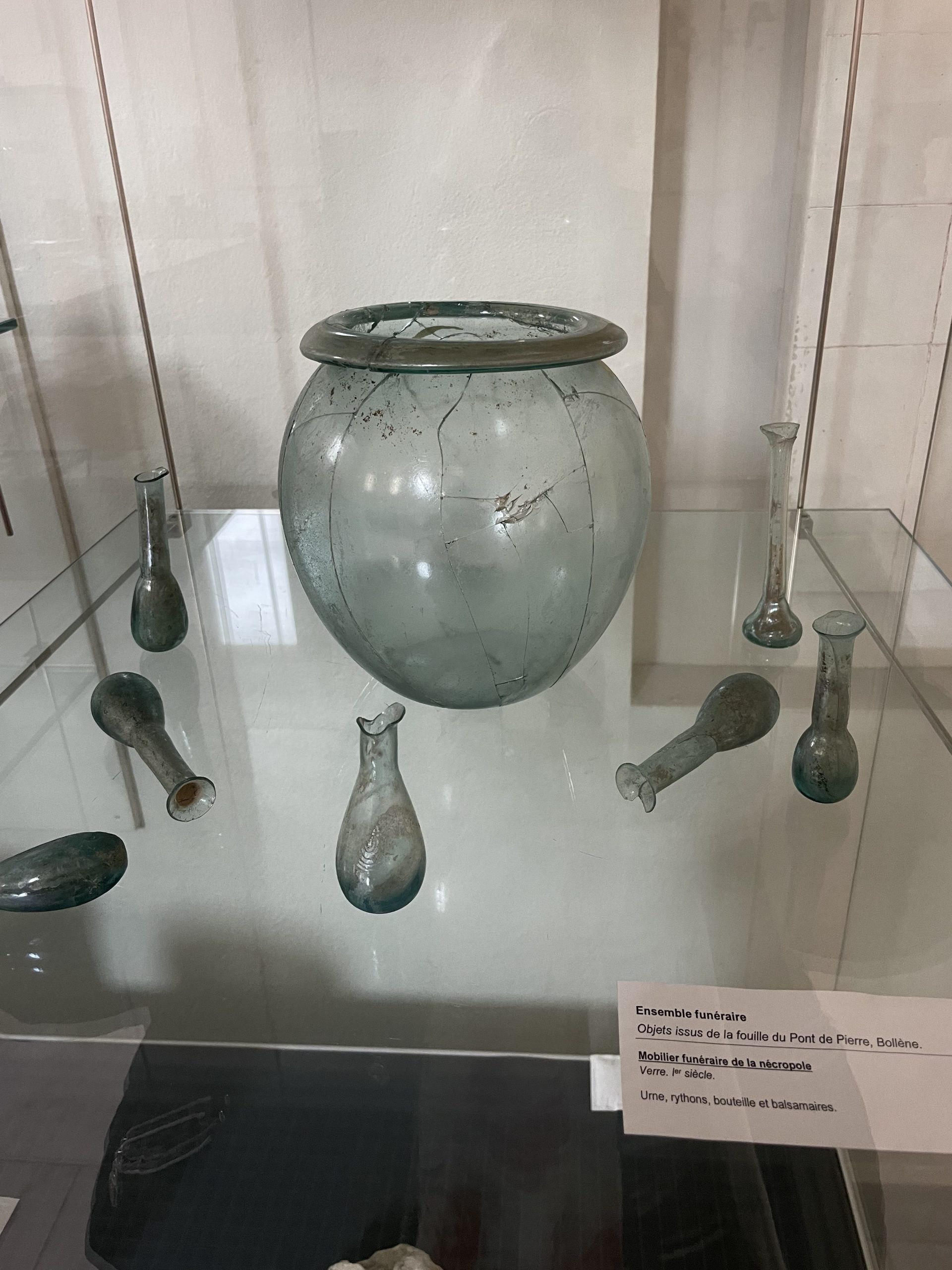
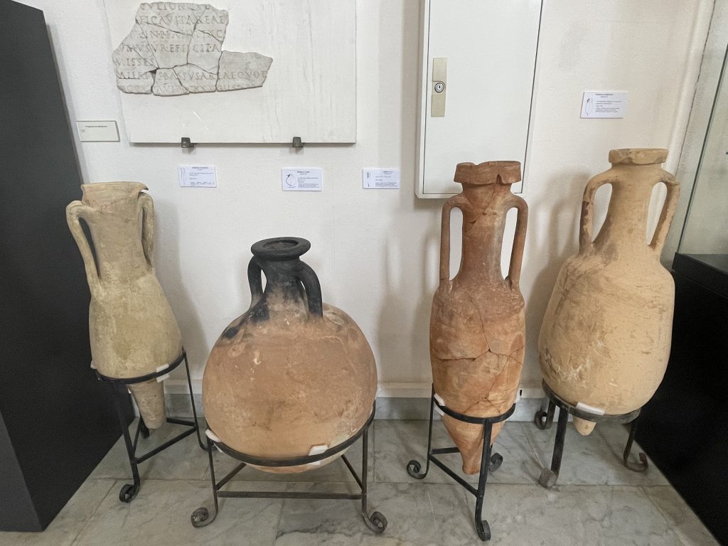
From there we headed further north, through the vineyards to the northern edge of Provence, to Orange. There we visited the Roman amphitheatre and Arc de Triomphe, both dating from the reign of Emperor Augustus.
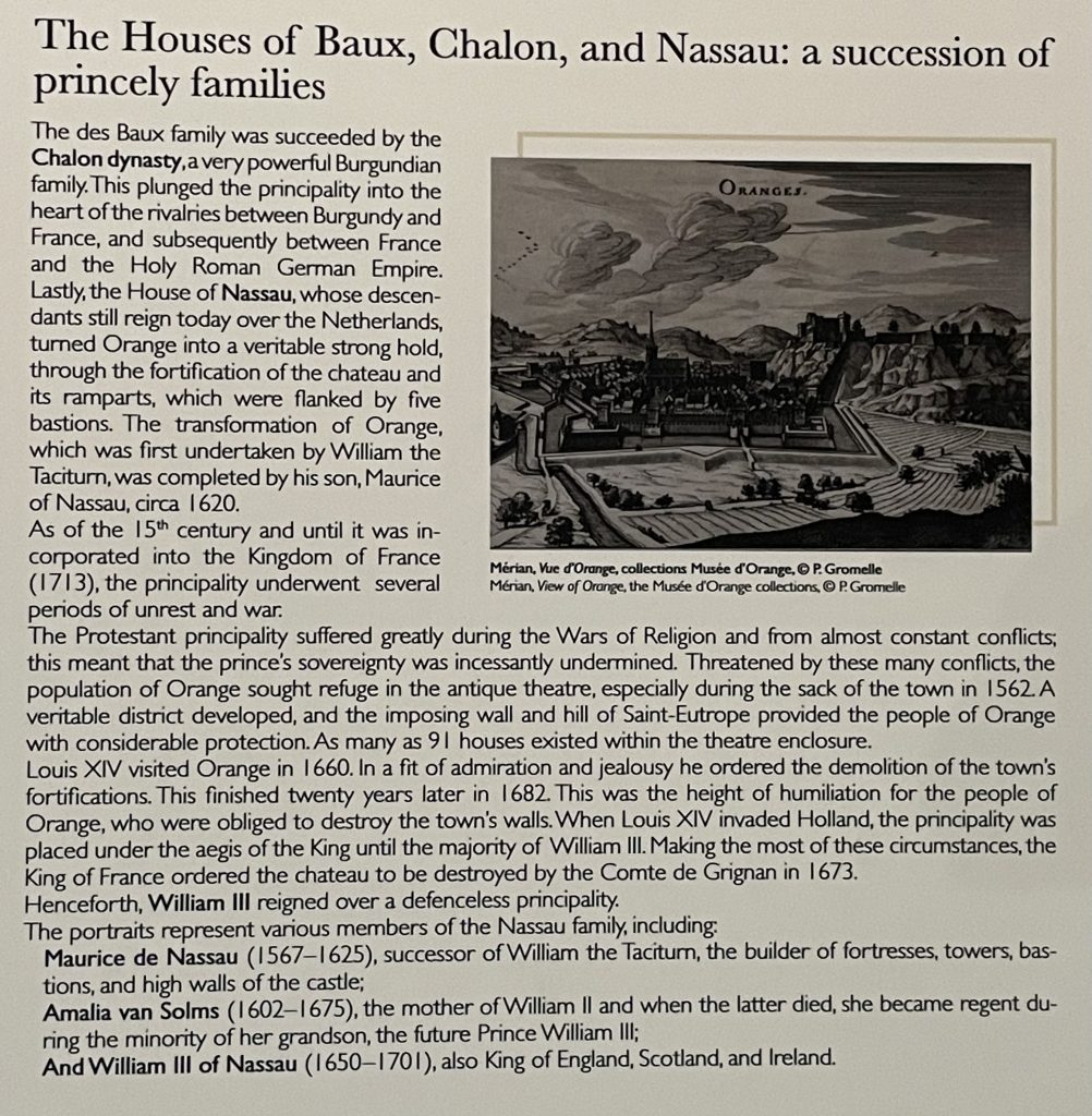
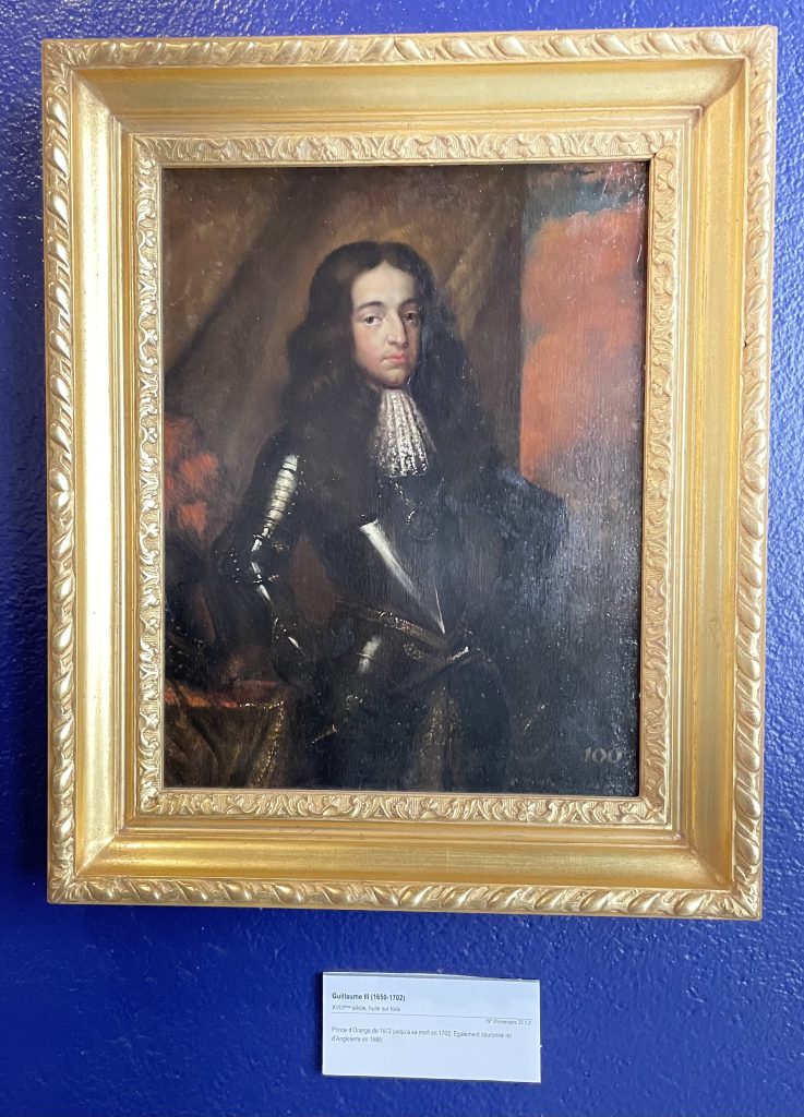
William of Orange’s great-grandfather inherited the Principality of Orange in the south of France and, along with other lands in modern-day Germany and the Netherlands, he founded the House of Orange-Nassau. That’s the royal family of the Netherlands to this day.
William of Orange was therefore known as the Prince of Orange, though the Principality itself was lost to France in his lifetime. William married Princess Mary, daughter of Henry VIII, and they became Monarchs of England – William III and Queen Mary.
BURGUNDY
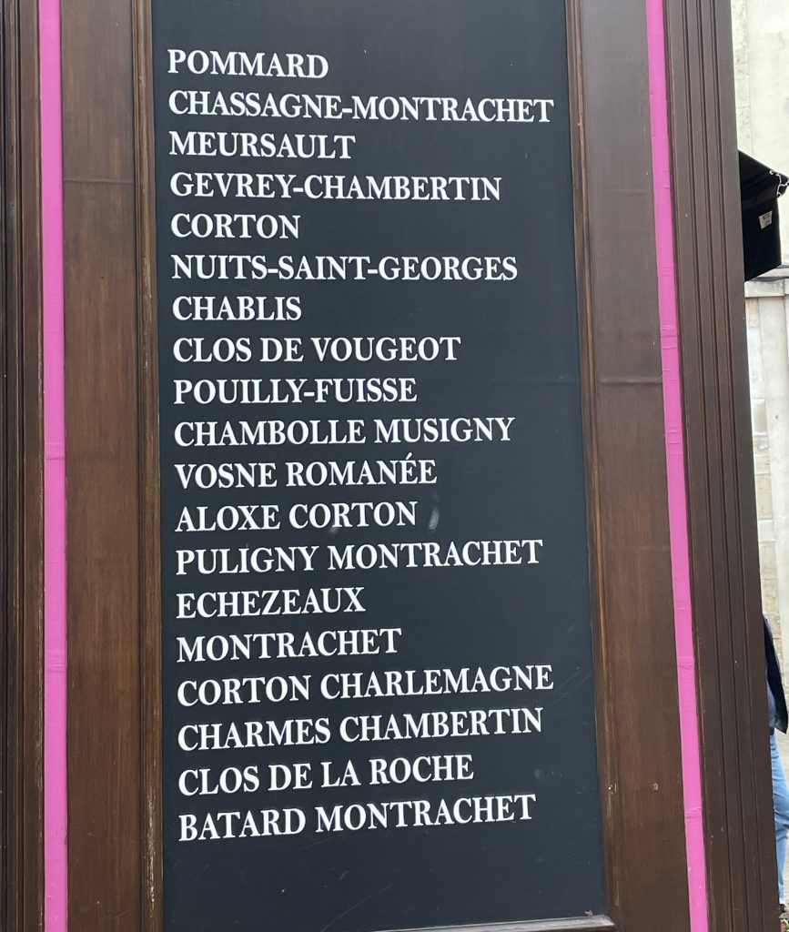
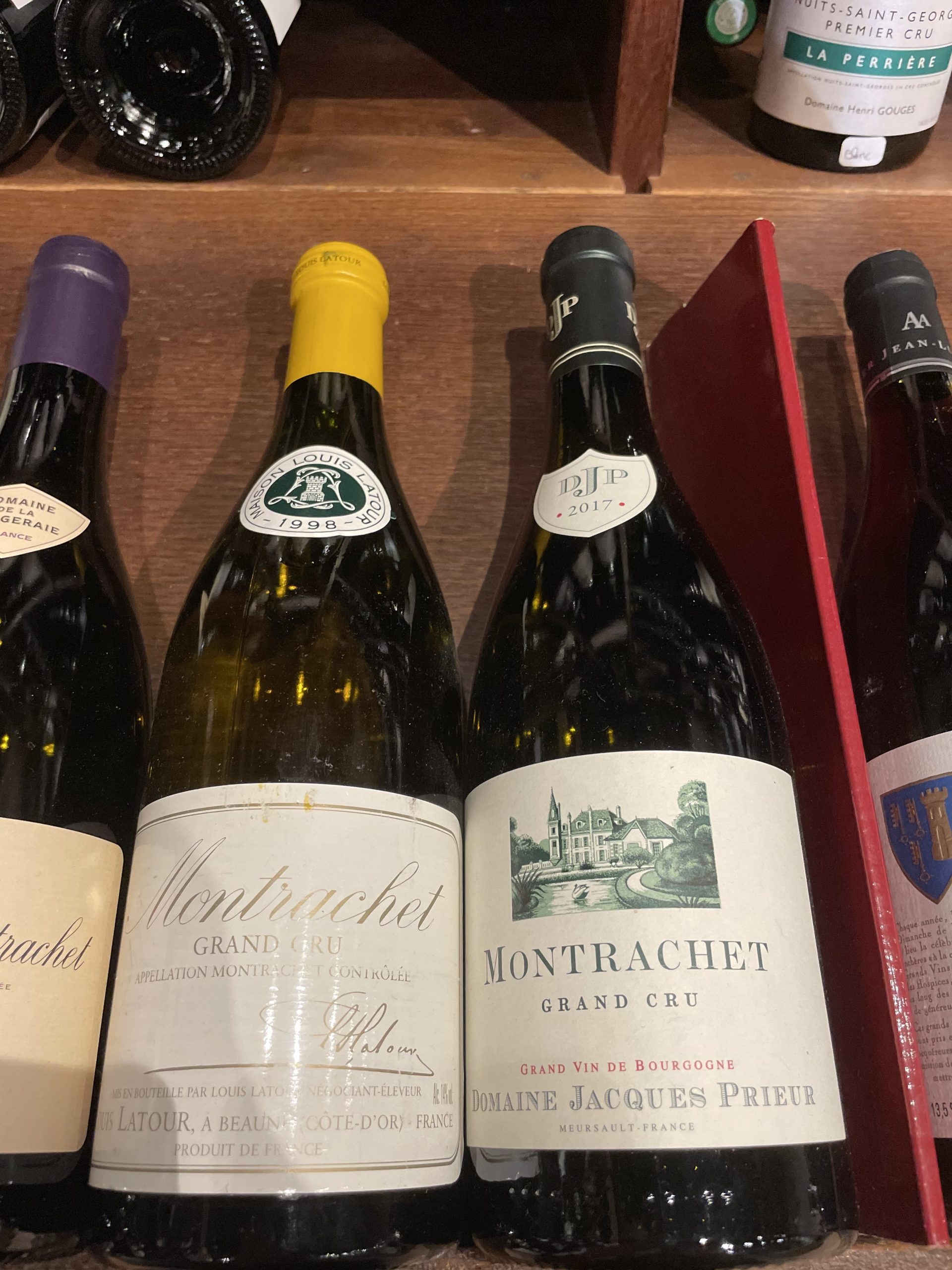
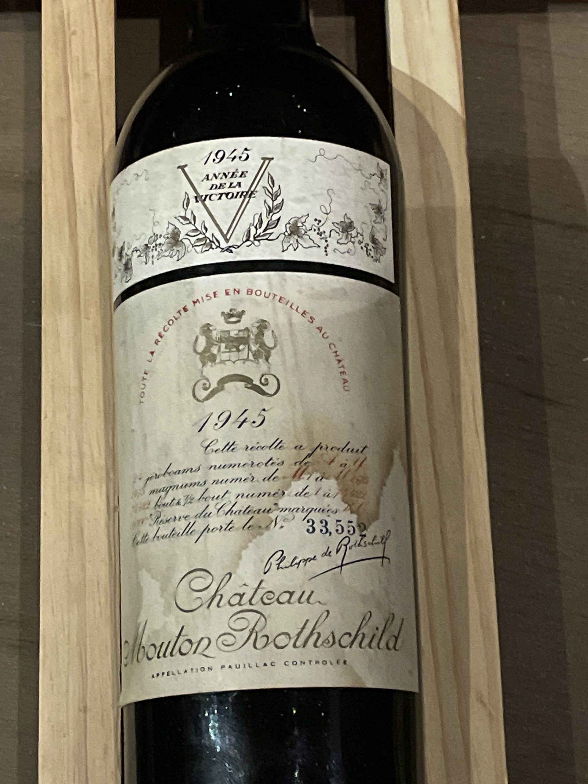
Located between Lyon and Dijon, Beaune is the centre of Burgundy wine production. After visiting the C15th Hospital and the Wine Museum we felt obliged to do some tastings. Unfortunately we both liked the €100 a bottle Chardonnay but managed to bow out politely with a bottle for €30. Before we left, the Patron showed us bottles of Montrachet for €1,000 and two bottles from 1945 Victory vintage of Mouton Rothschild priced at €19,000. He said a Russian had recently bought one of these, and drunk it!
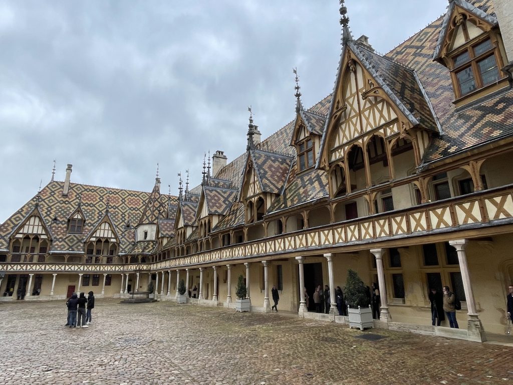

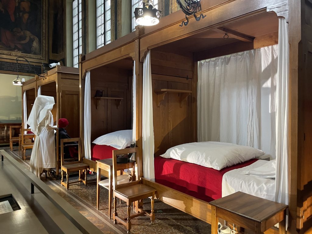
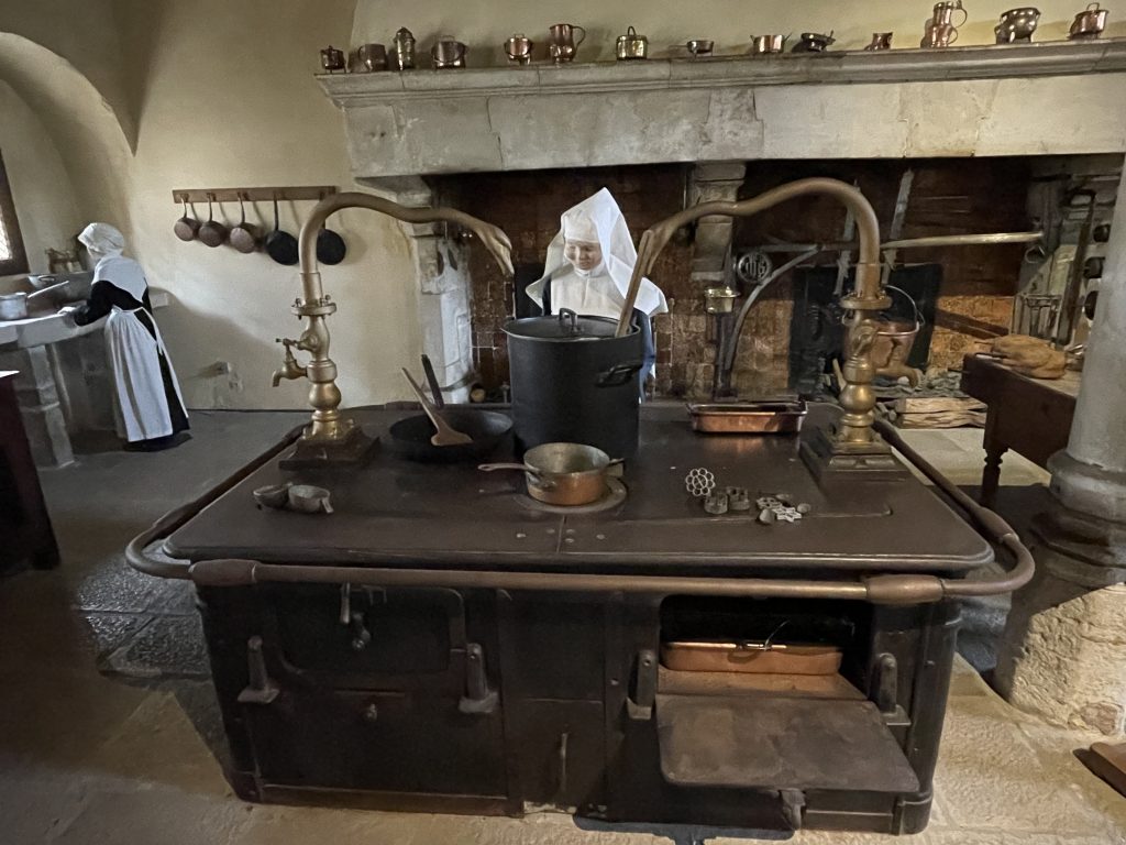
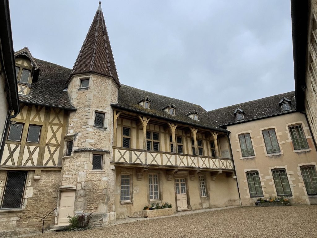
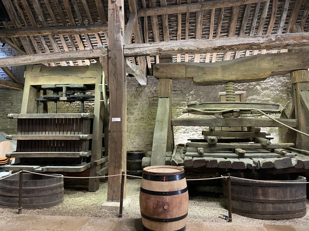
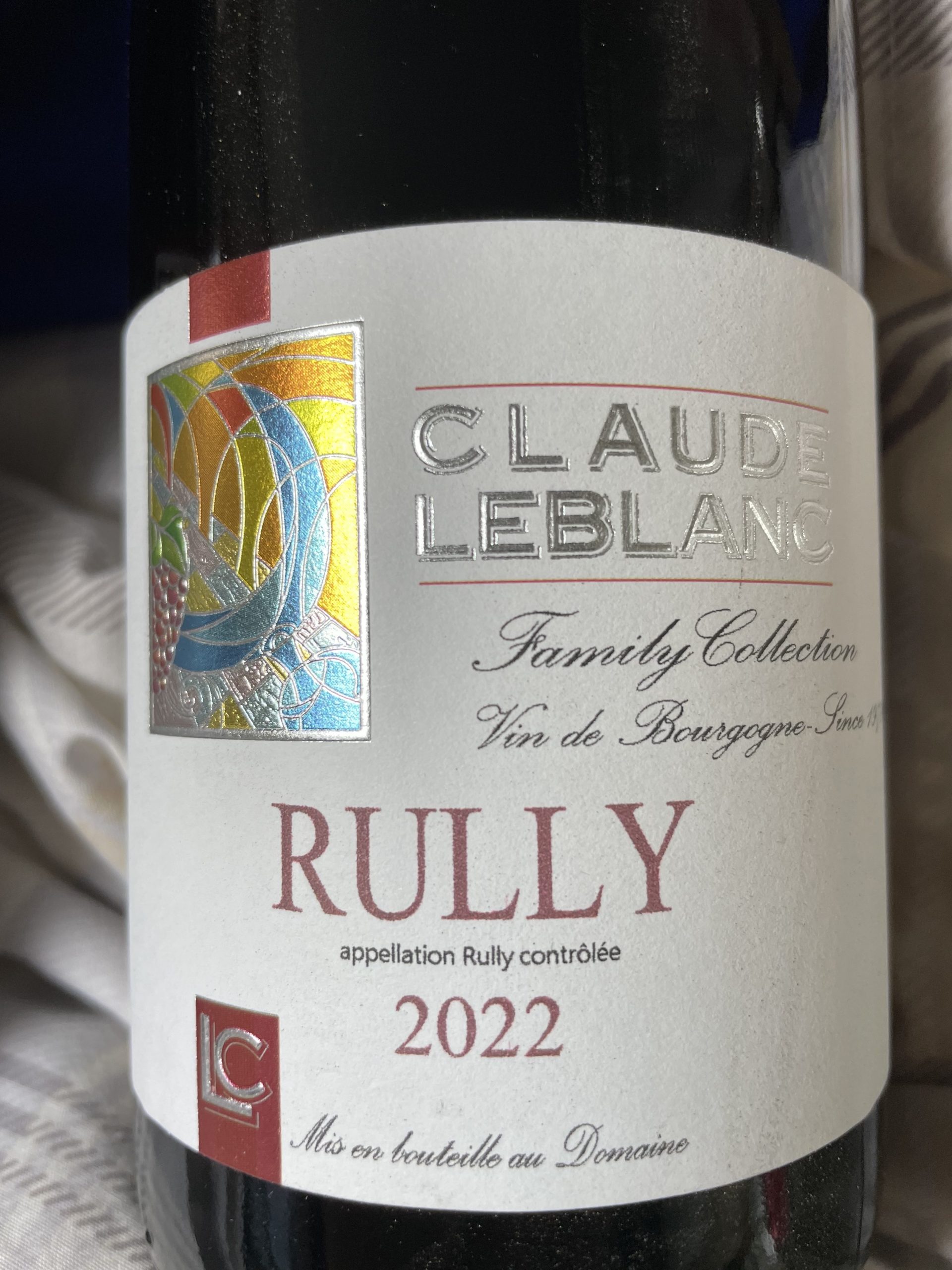
These were two that we did buy

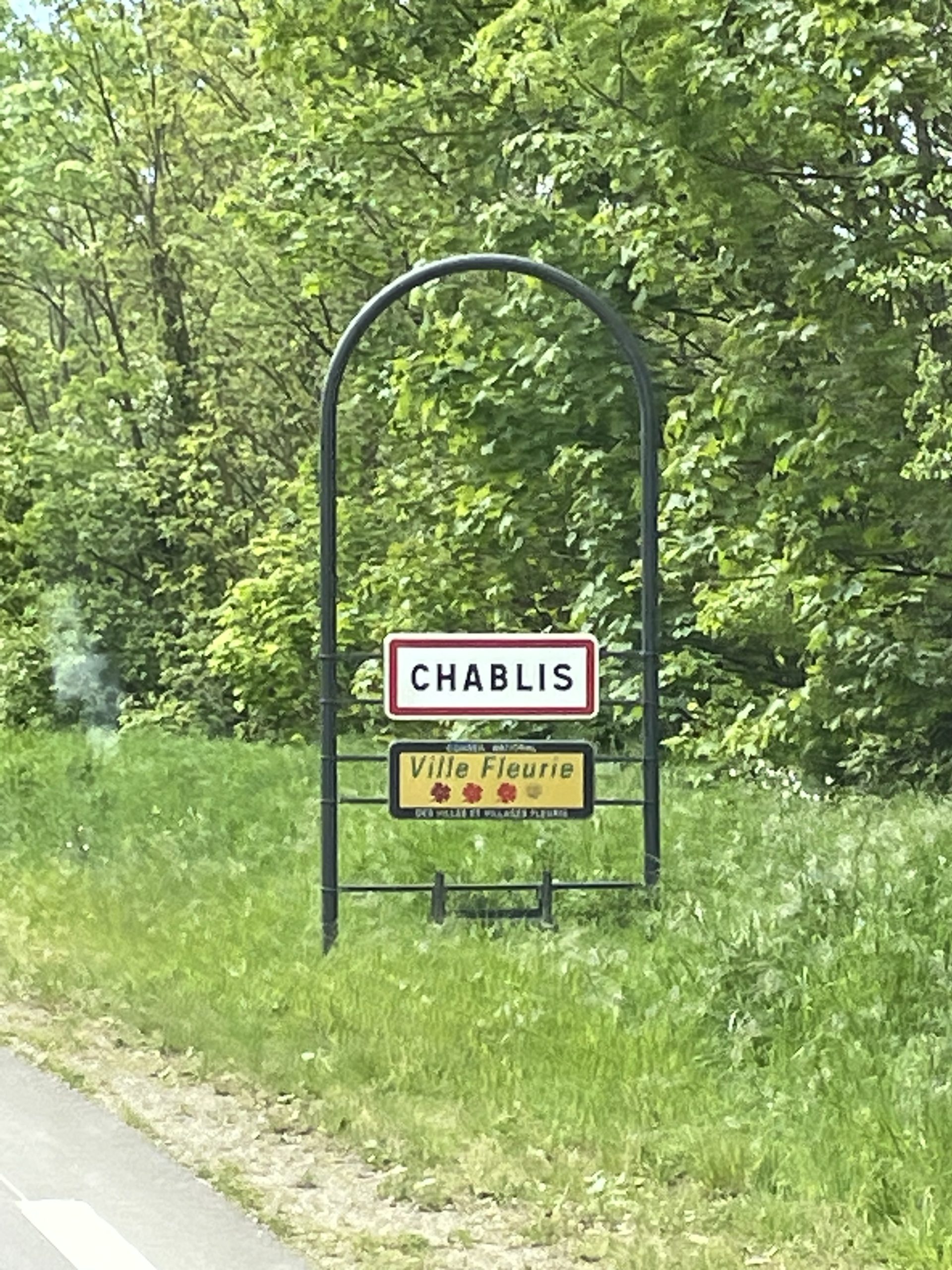
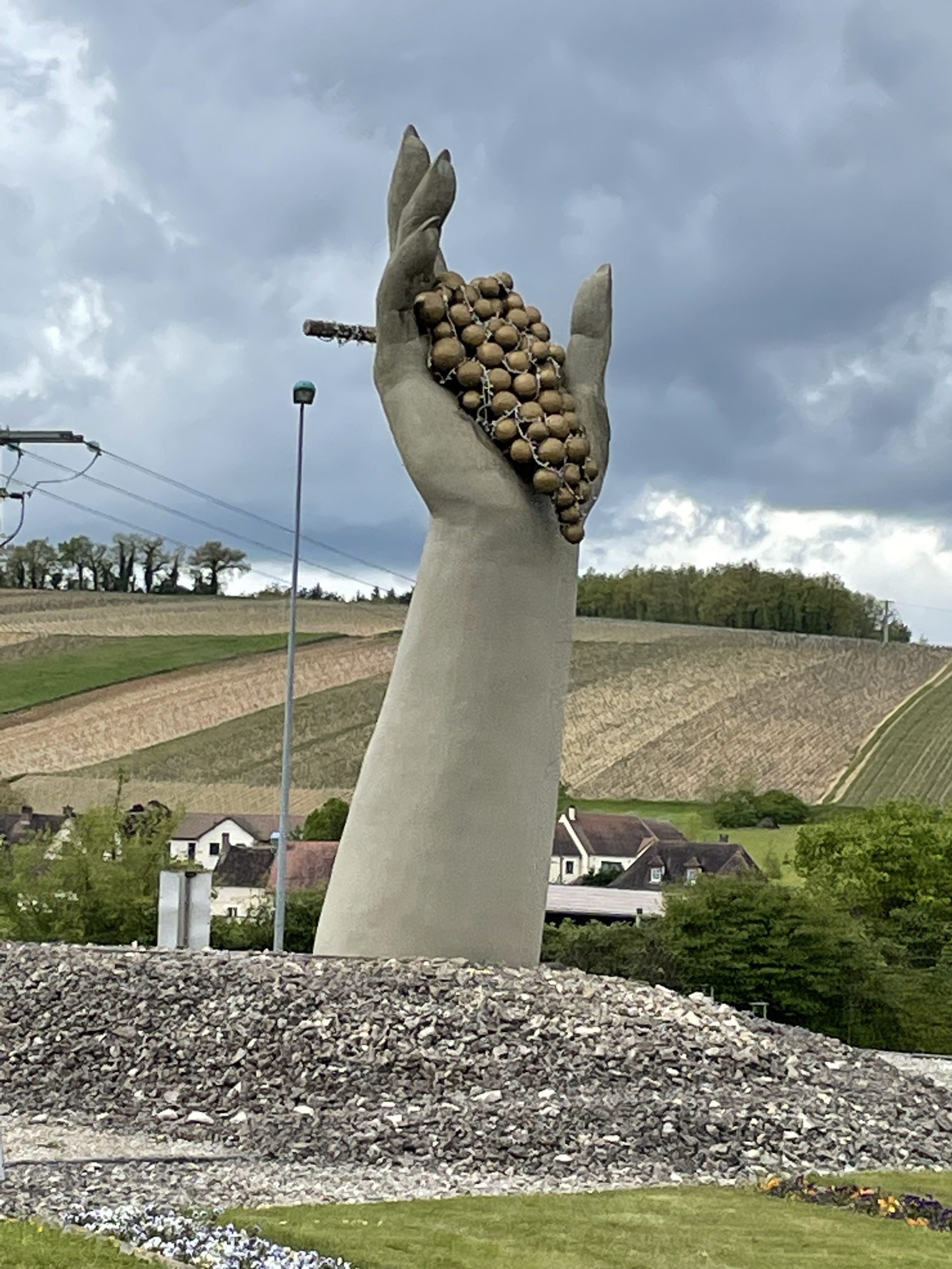
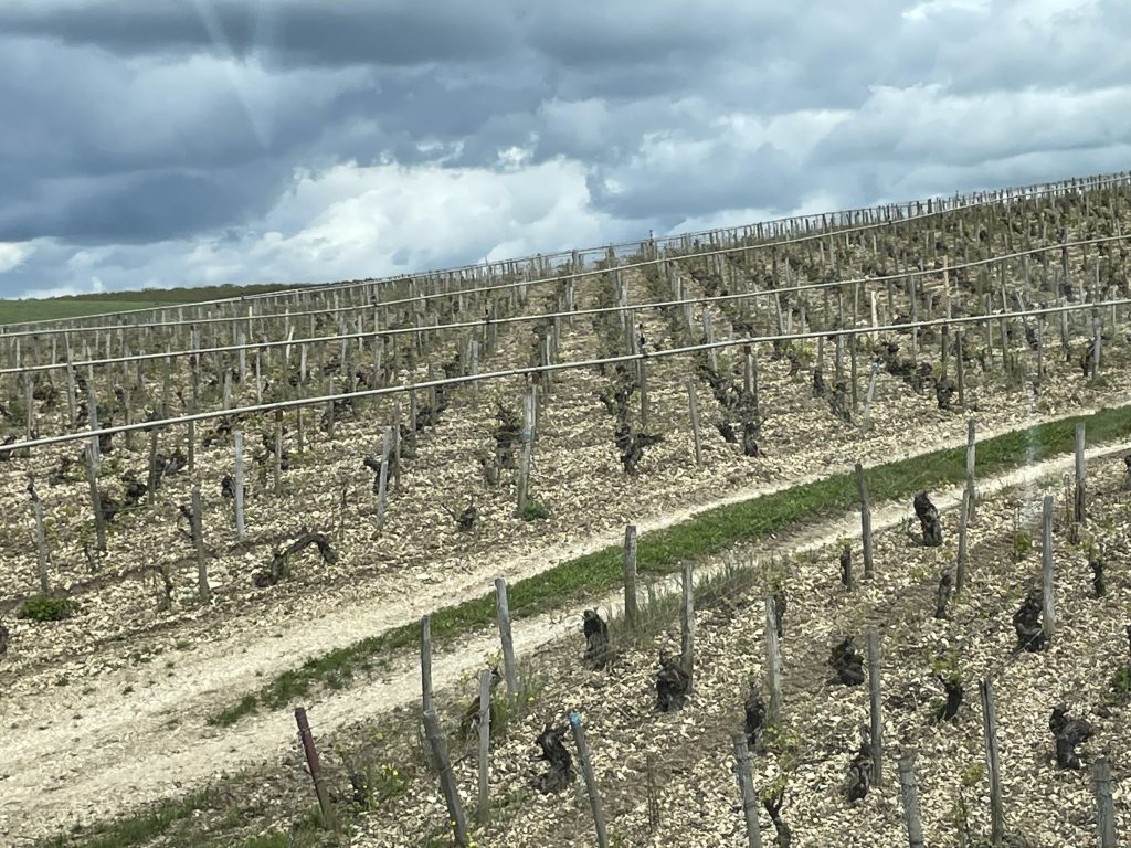
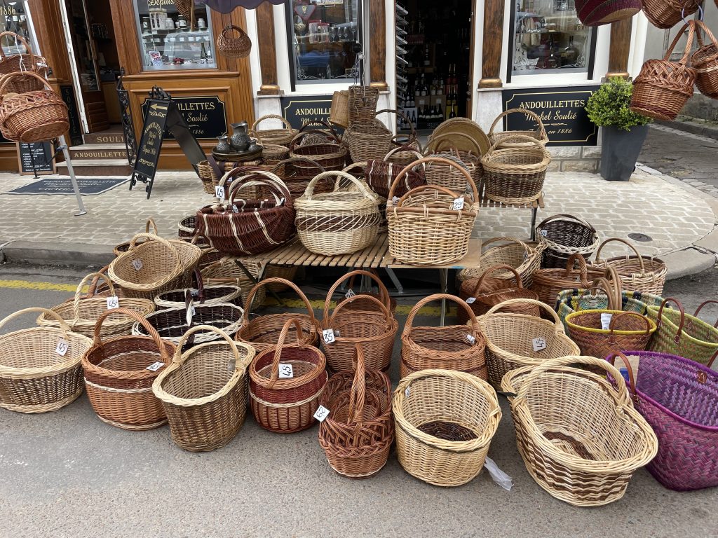
AND ON TO CHABLIS
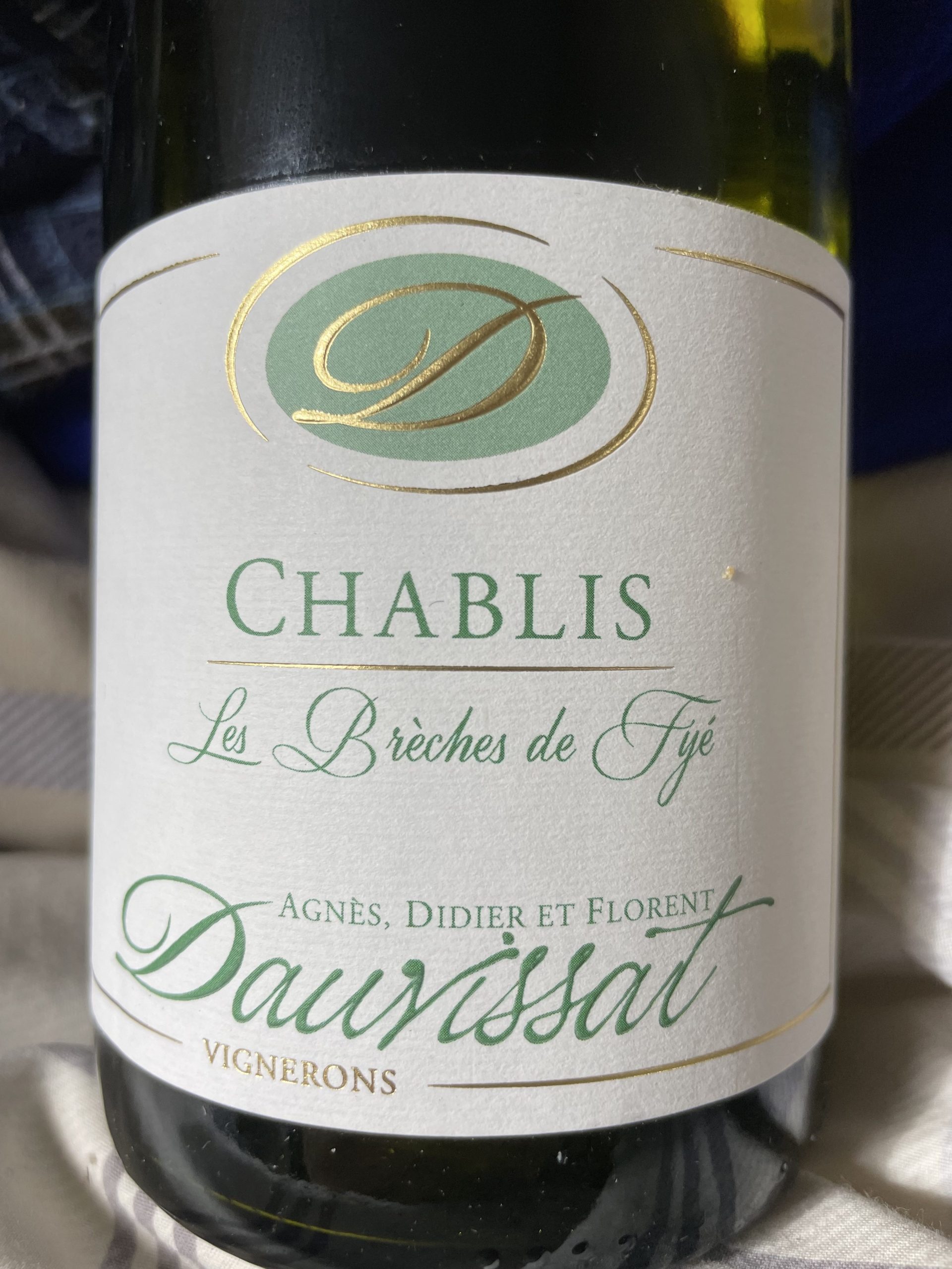
AND LASTLY …
TROYES
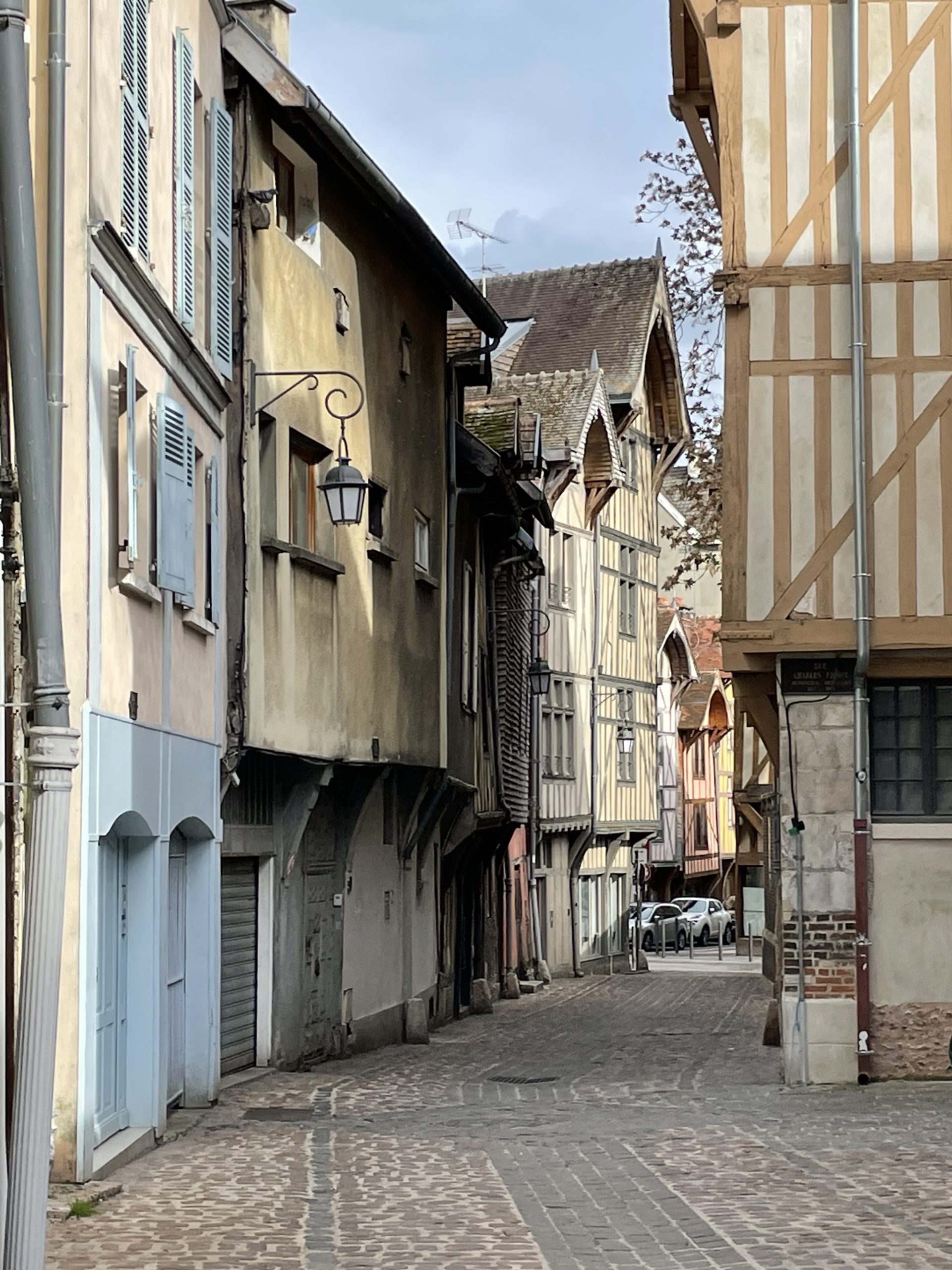
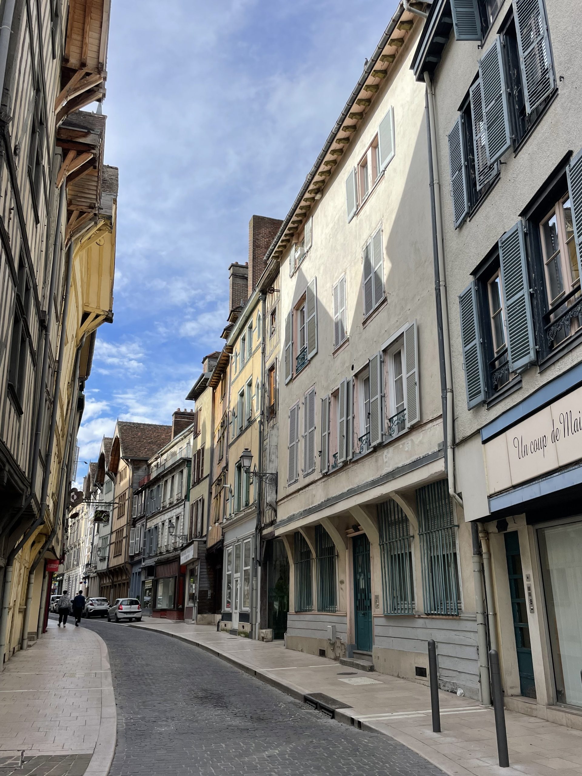
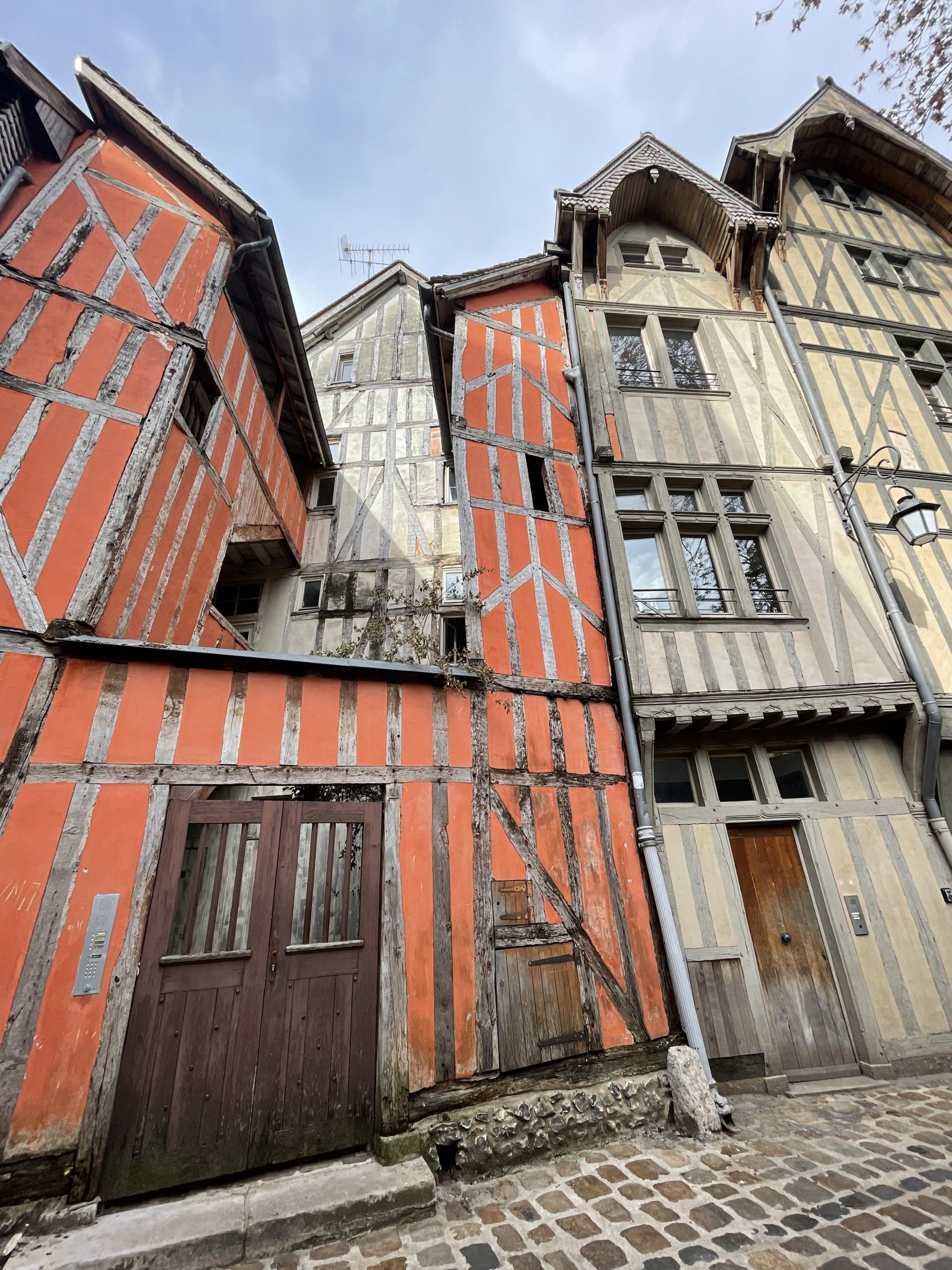
We weren’t sure whether we liked Troyes (pronounced Trois, like number three) at first. We had left our camper at an Aire on the outskirts of the city and walked in, at first it felt eerily deserted and a bit spooky. We continued, thinking it was because it was Sunday afternoon, but the centre was deserted too.
All around us were these gorgeous medieval buildings, street after street after street, most of them in a poor state of repair, it felt like a film set, half expecting horses and carriages to come round the next corner with actors in period dress. But they didn’t. It was literally like a ghost town.
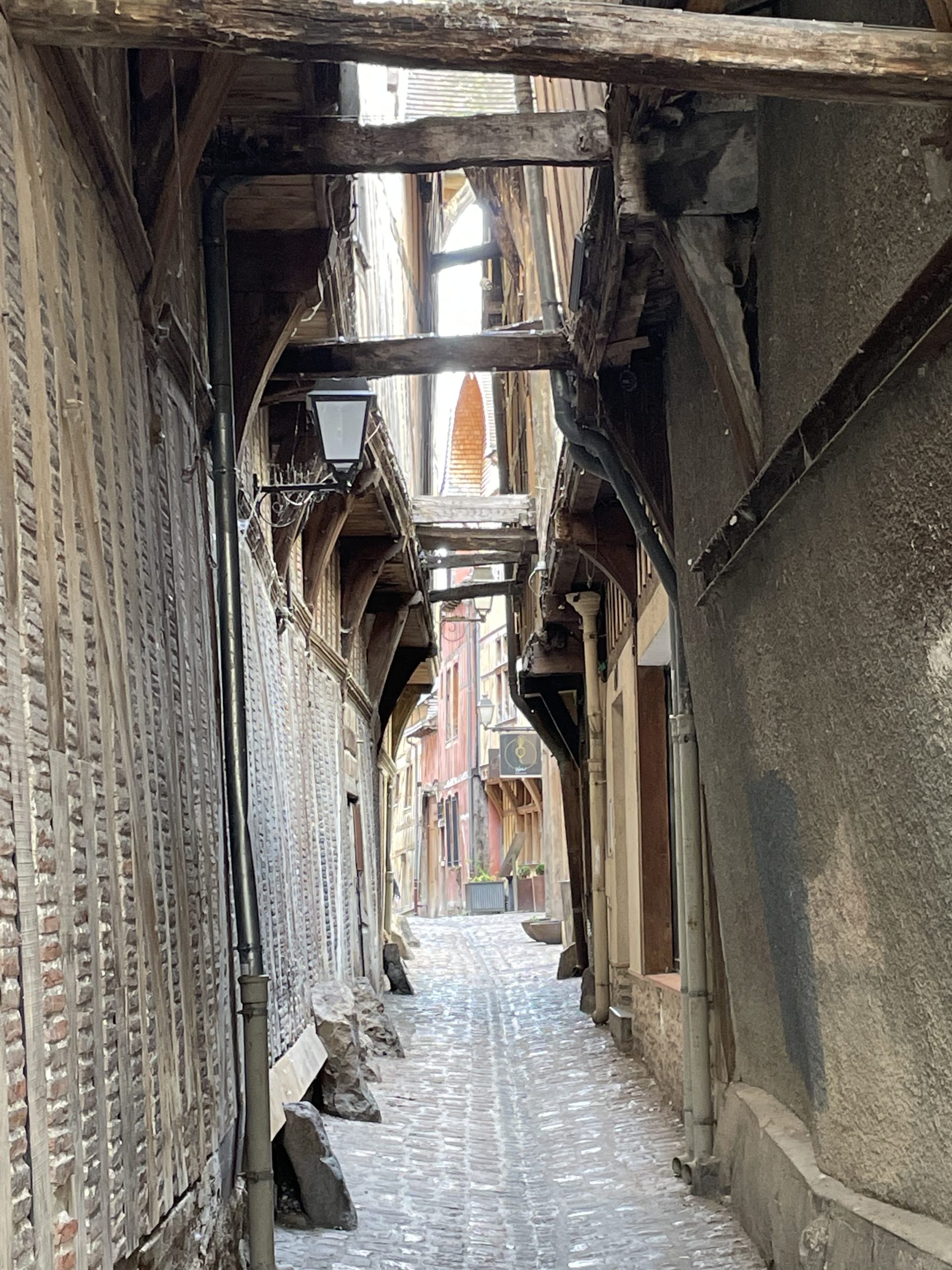
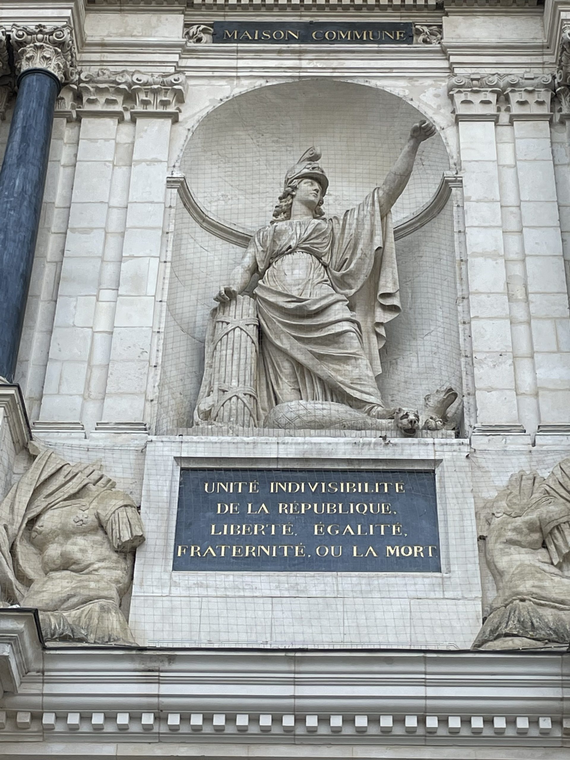
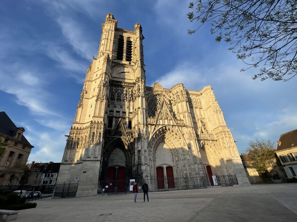
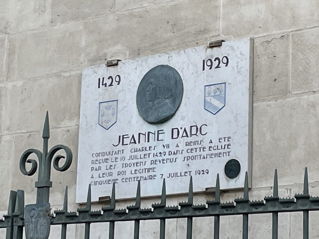
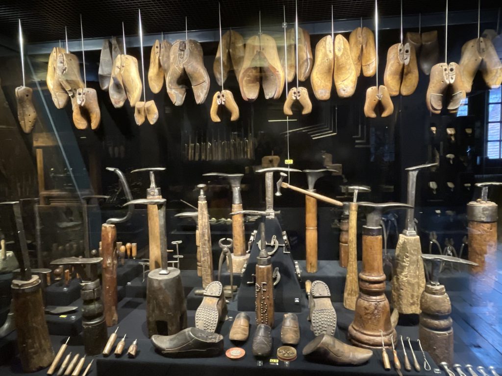
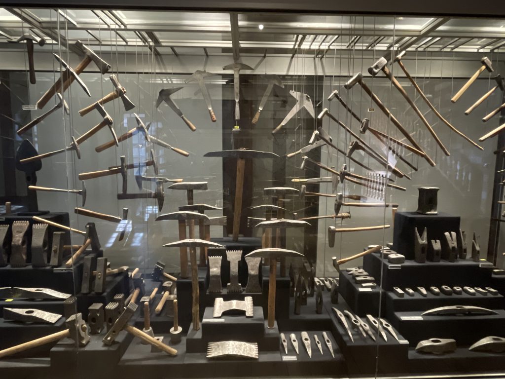
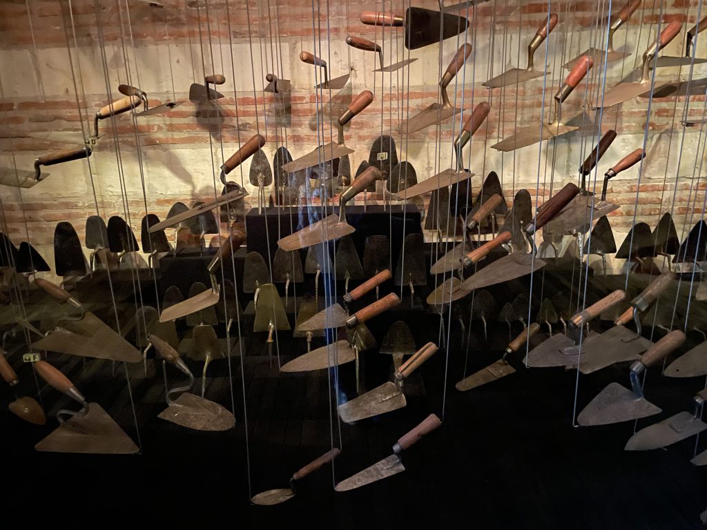
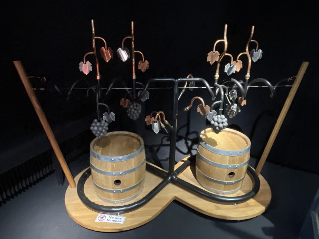
We found the Museum of Tools – Maison de l’Outil – where 12,000 handmade tools from 17-19th centuries were beautifully showcased in glass displays. The tools had been used by craftsmen involved in carpentry, ironwork, leather and stone. It was remarkable how well presented the items were.
Despite the eeriness, Troyes grew on us, the longer we were there the more we liked it, and we will certainly return.
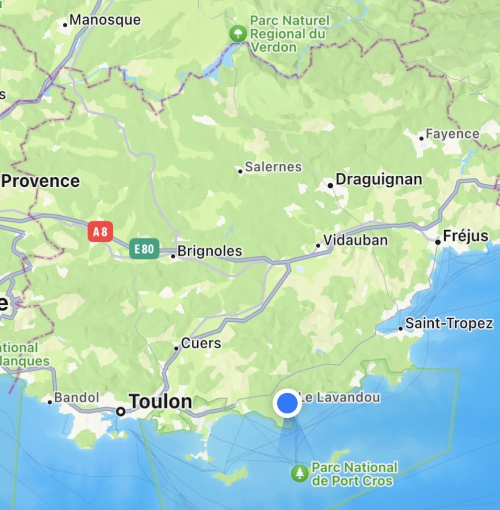
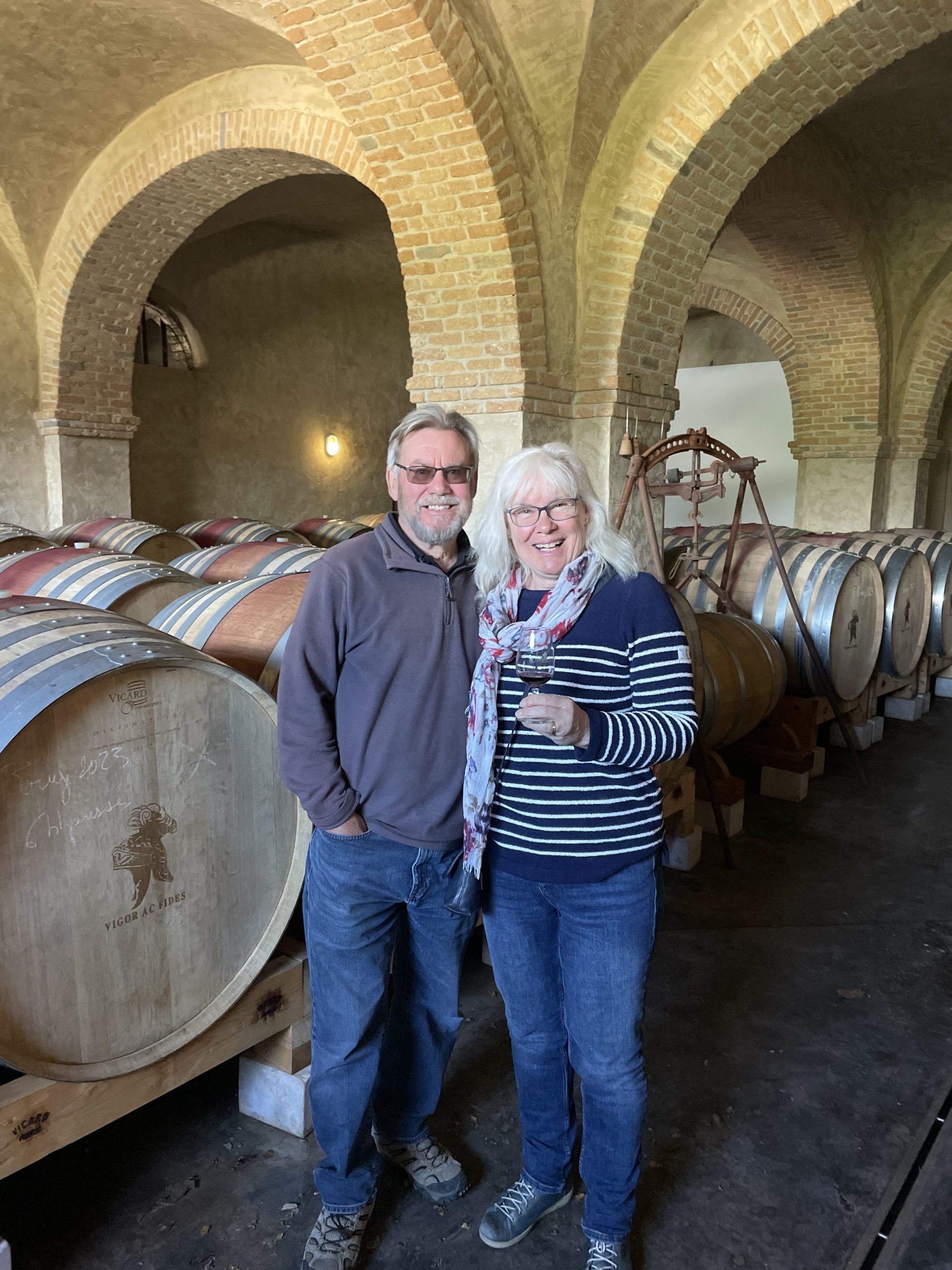
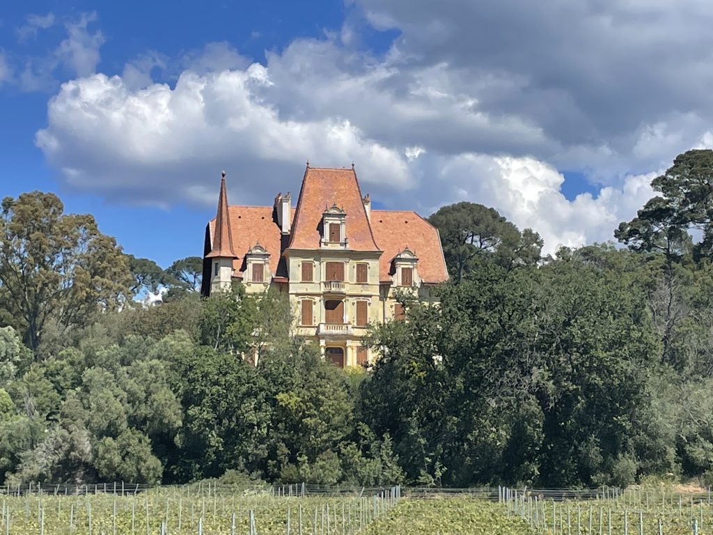
The Var is the principle wine region of Provence, bordered by Toulon in the west, Frejus in the east, Draguignan in the north and the Mediterranean in the south. We explored by bike the area south and west of Draguigan, in particular Taradeau, Lorgues, Le Thoronet, Carces and St Julienne where we did a comprehensive wine tasting and turned the camper into a mobile bar – spicy whites, light roses and full bodied reds.
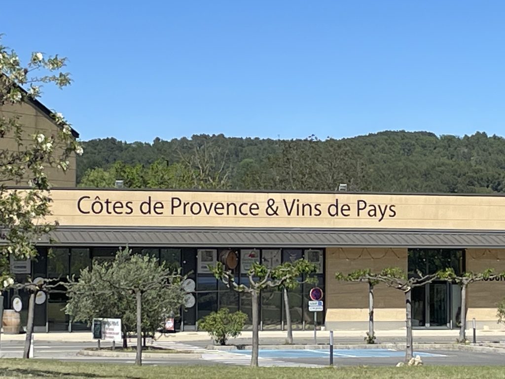
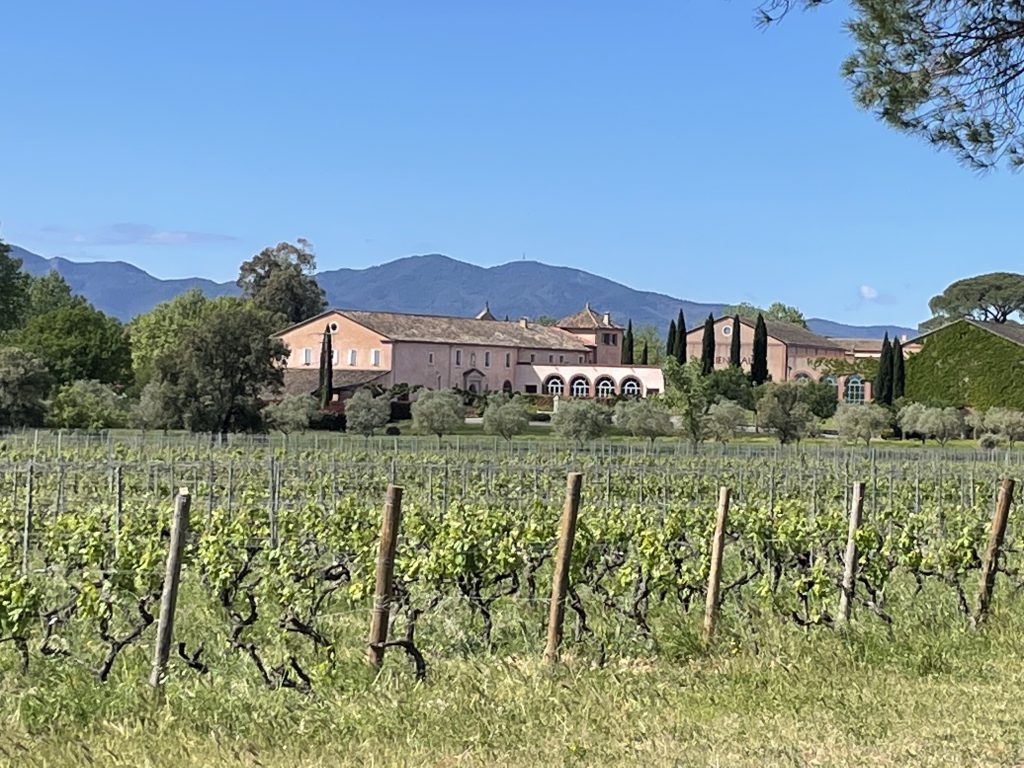
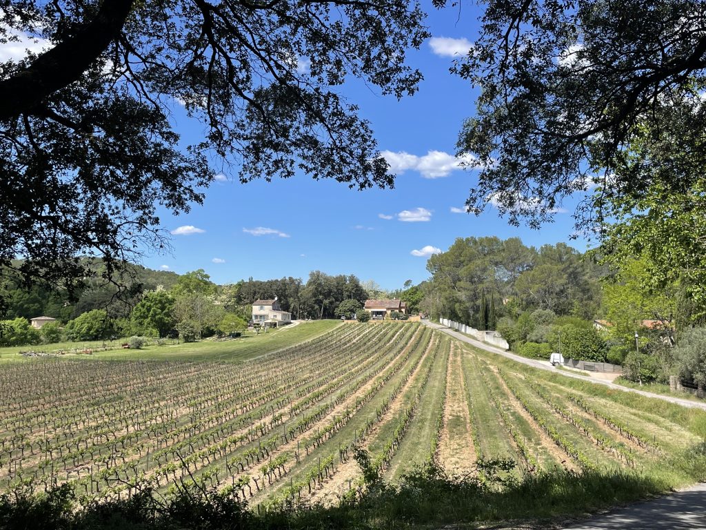
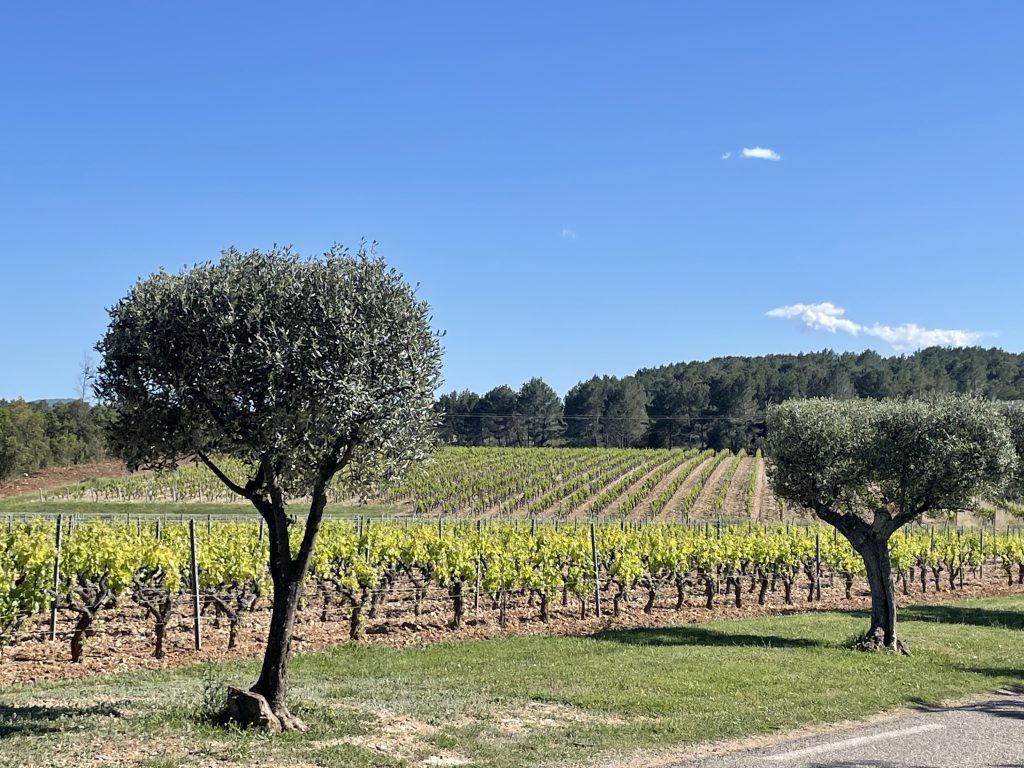
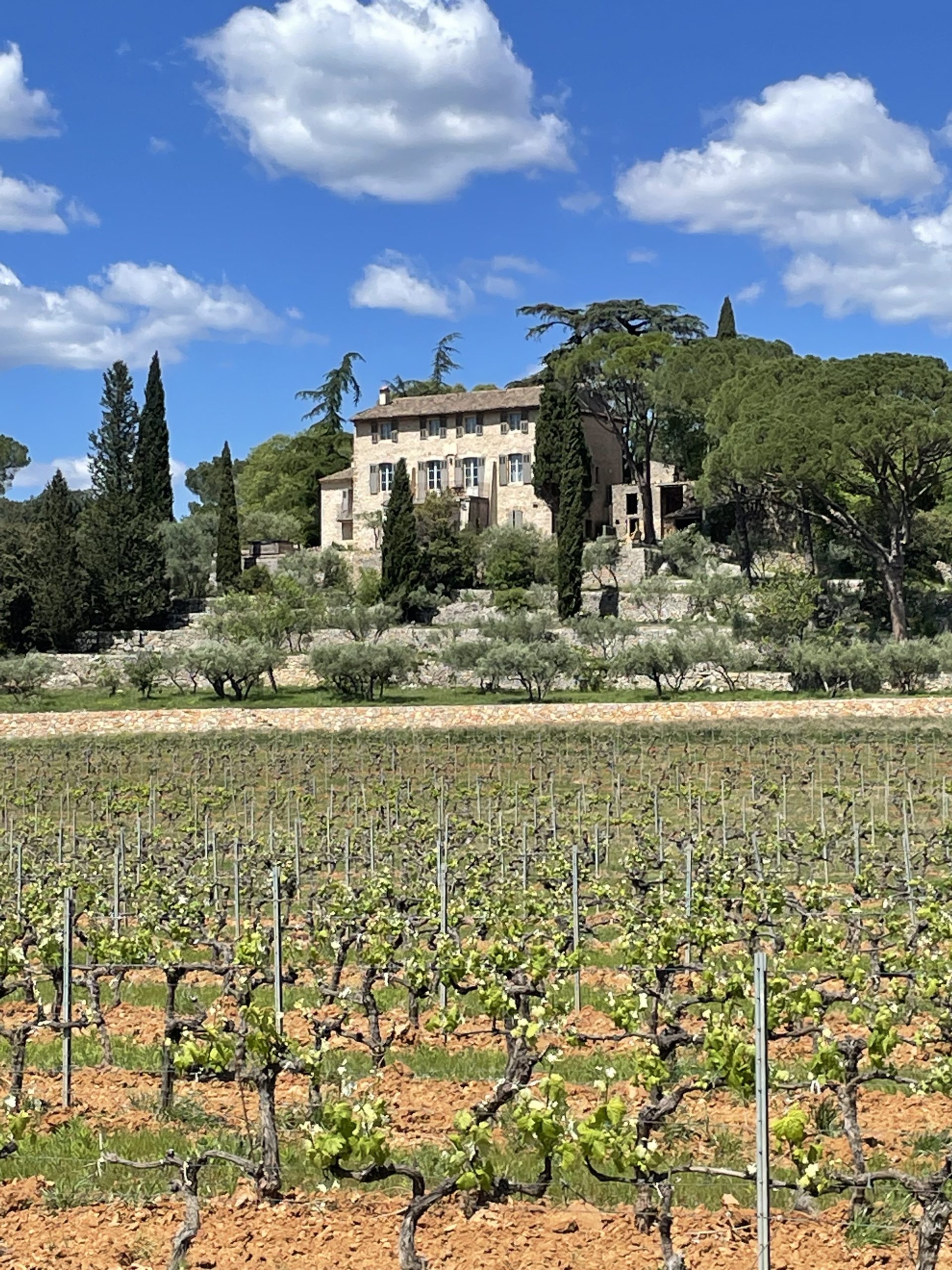
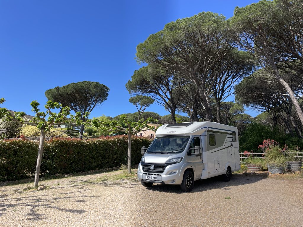
We then went down to the coast where the vines literally run right down to the sea, vineyards on one side of the road, olive groves on the other and occasionally camomile for variety.
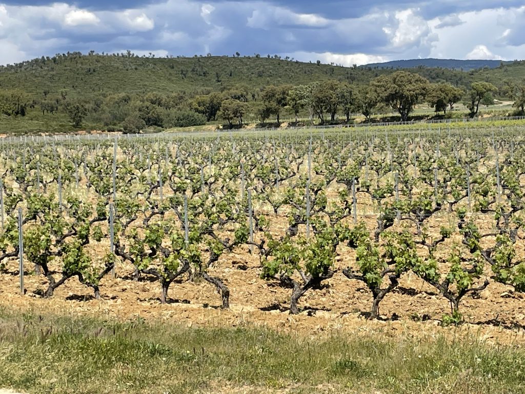
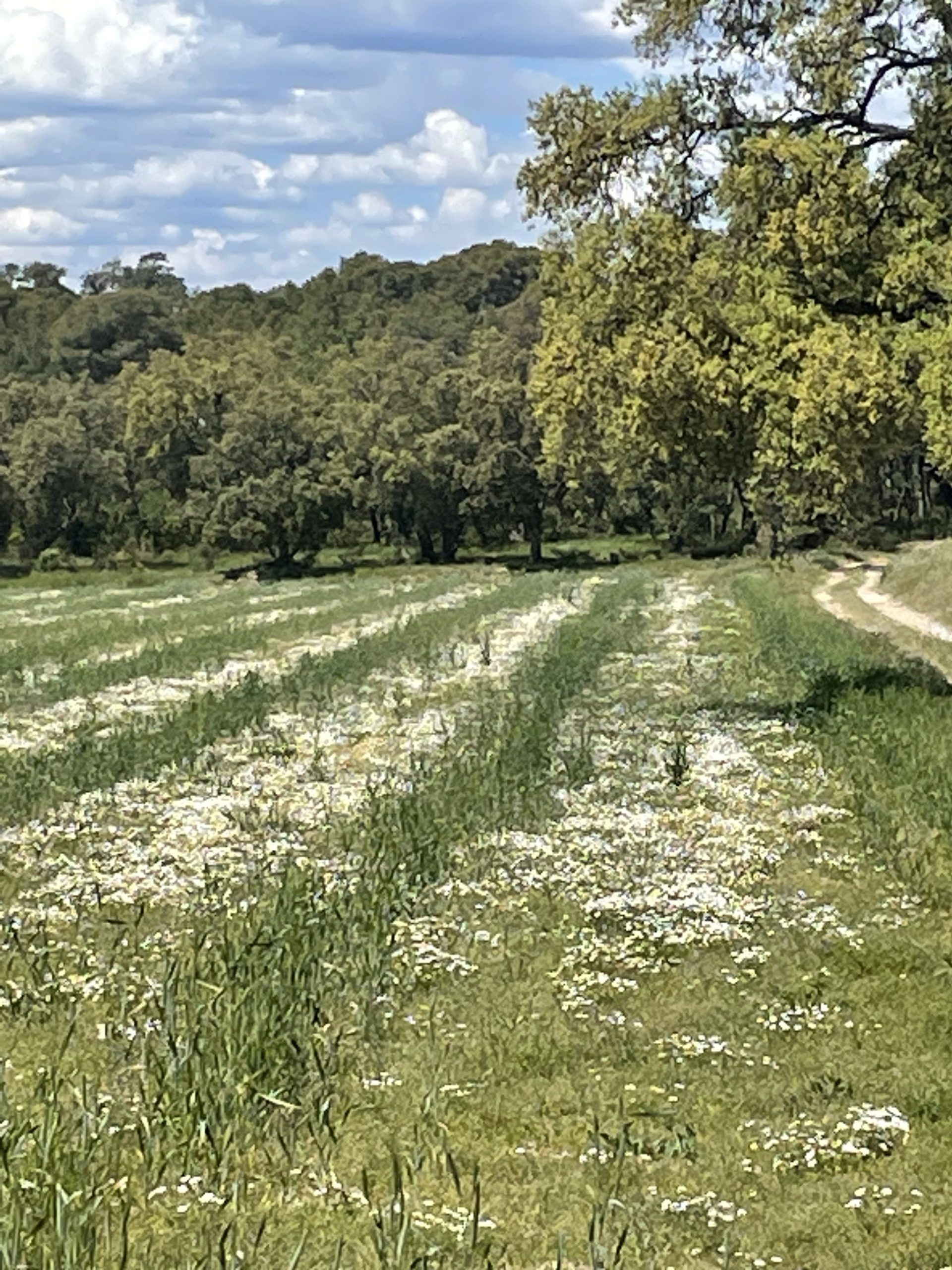
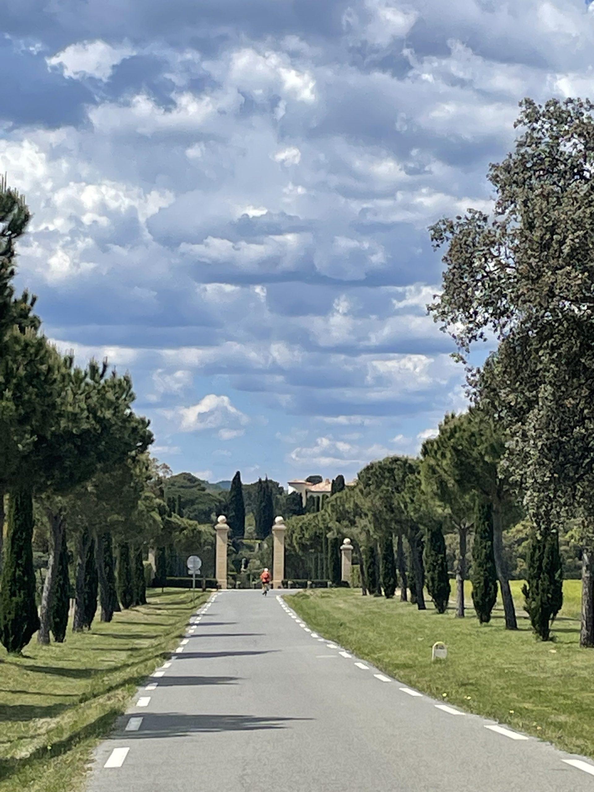
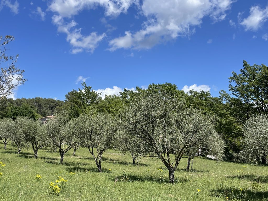
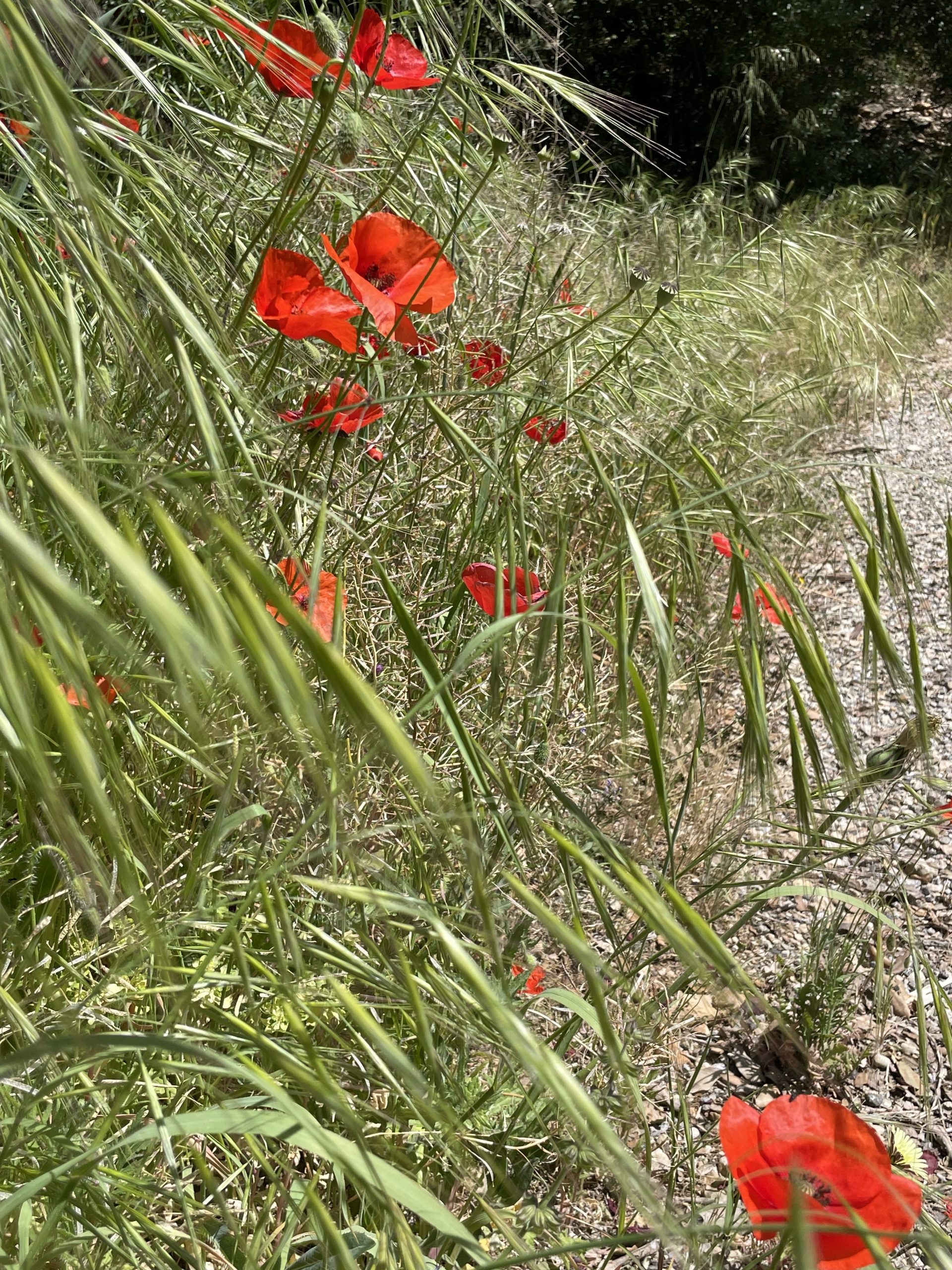
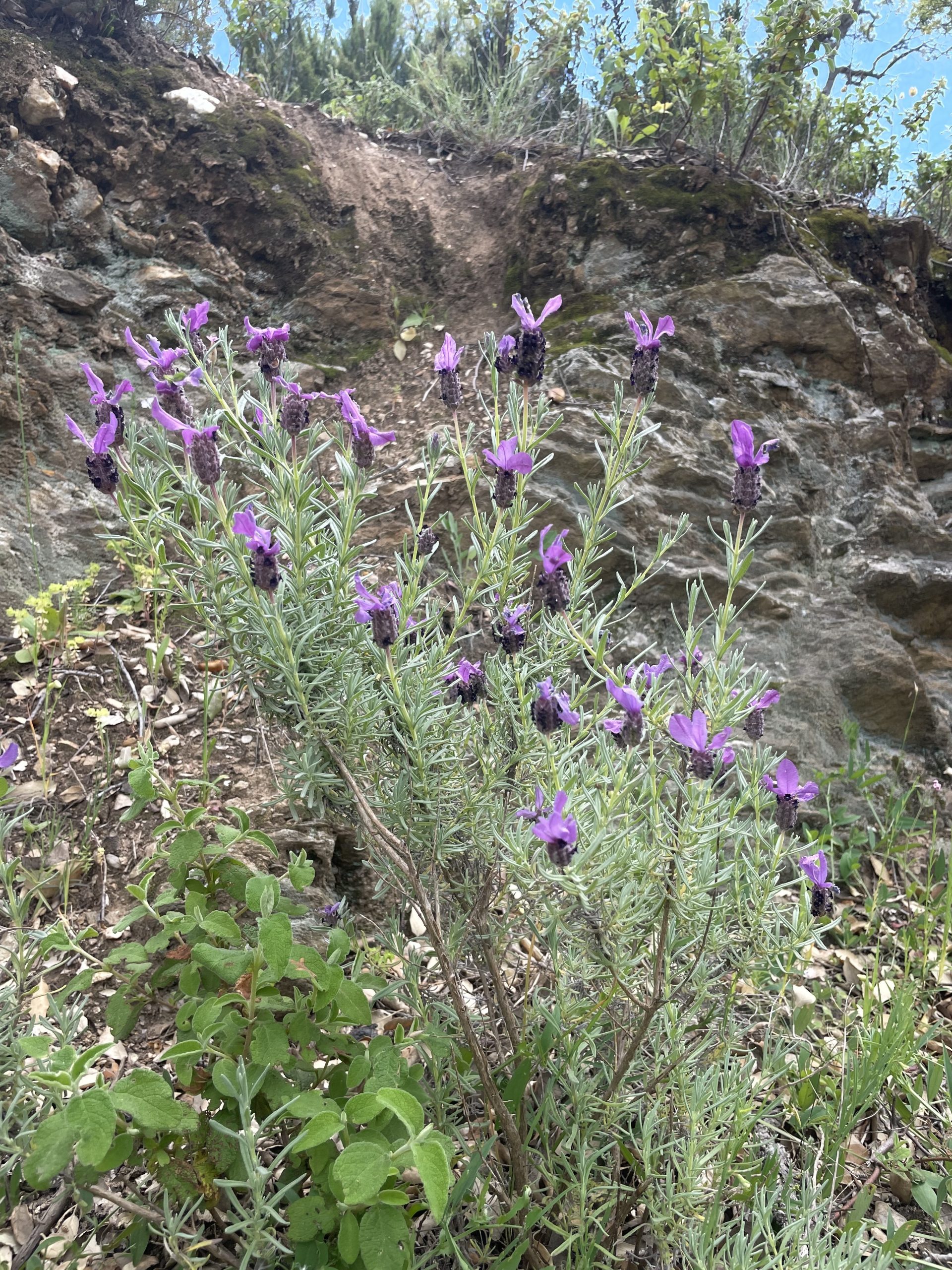
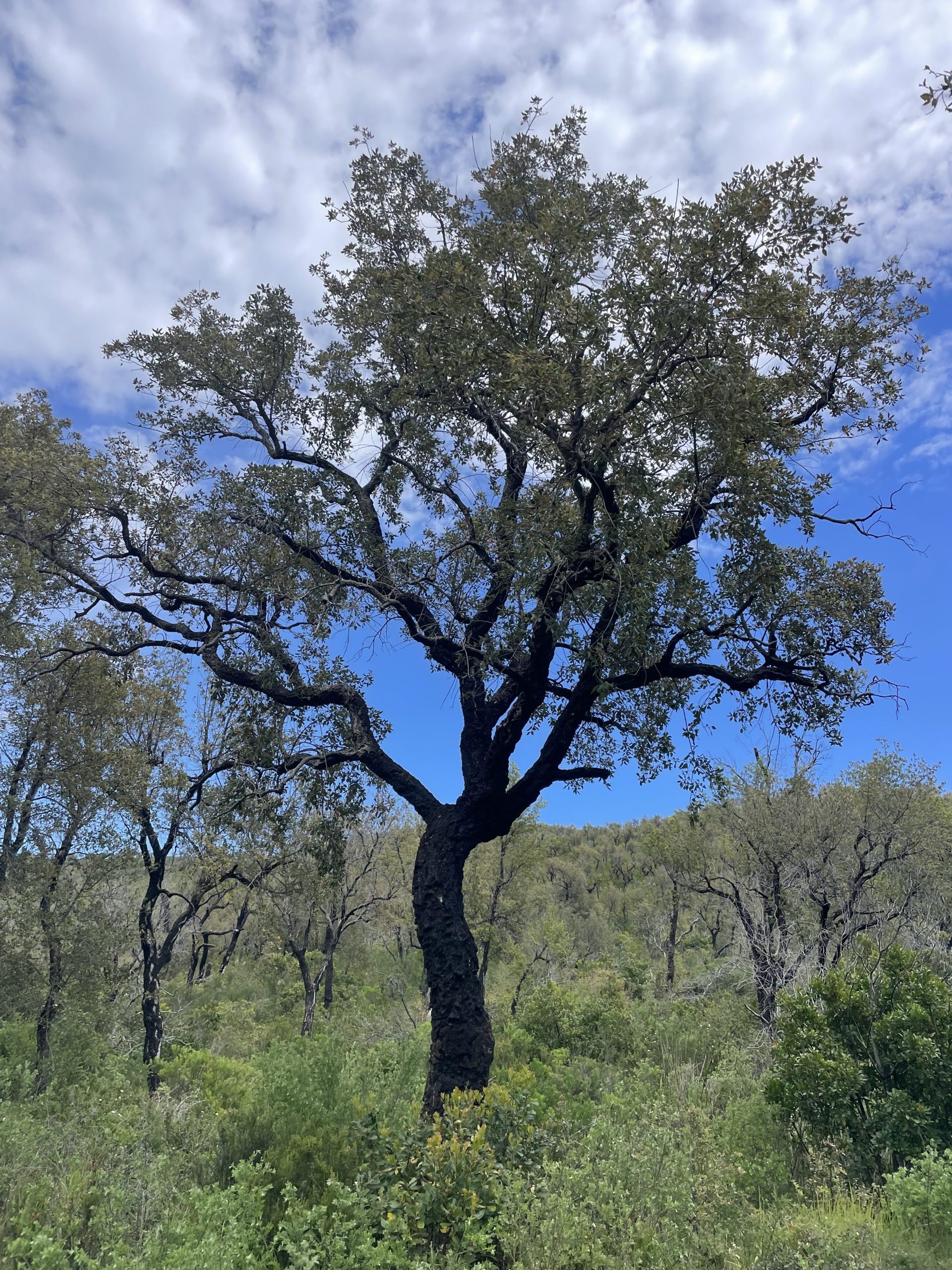
In the areas that weren’t cultivated poppies, wild lavender and cork trees were abundant.
.
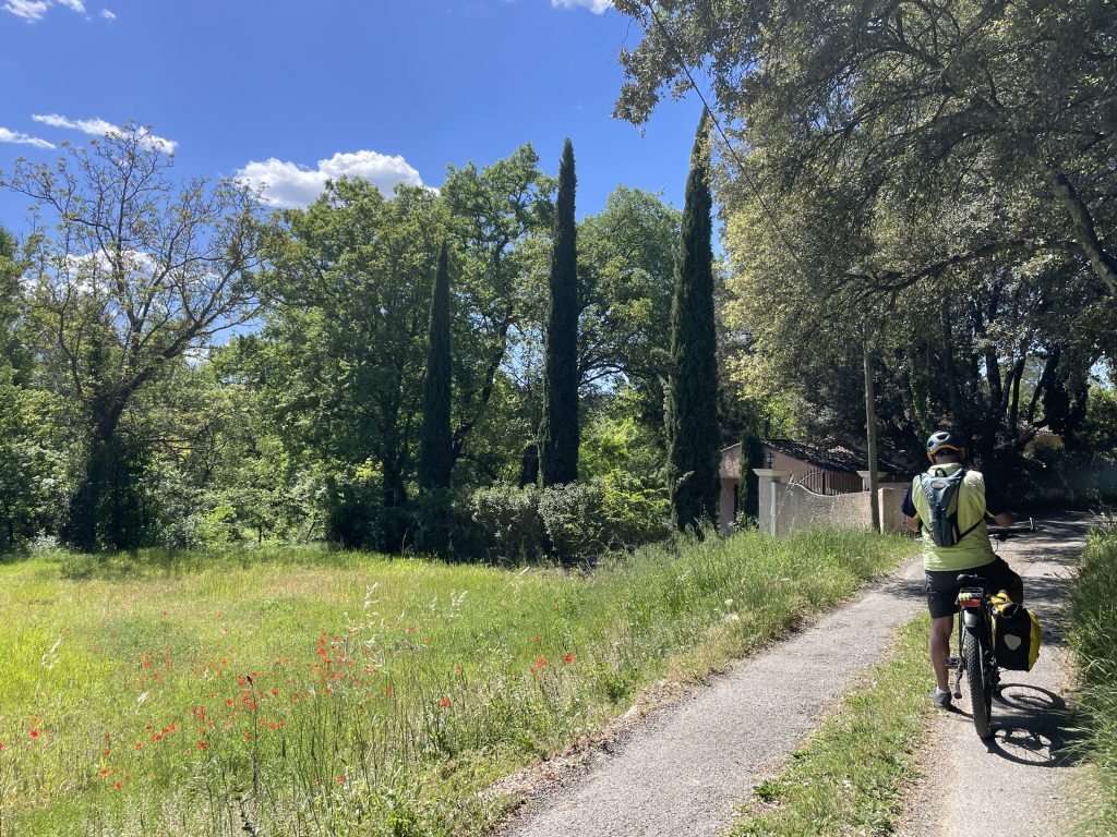
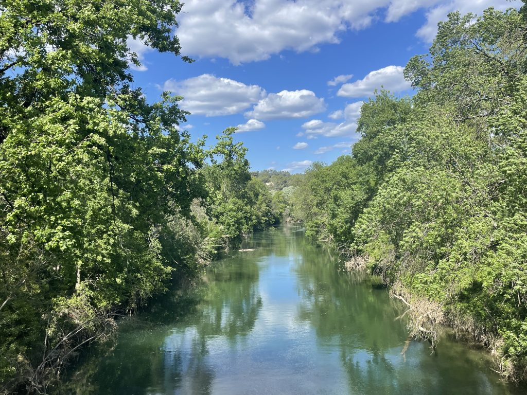
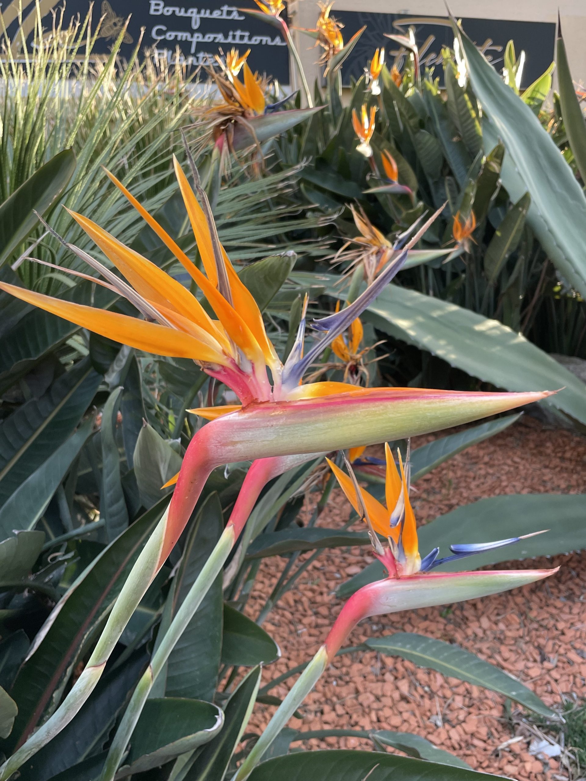
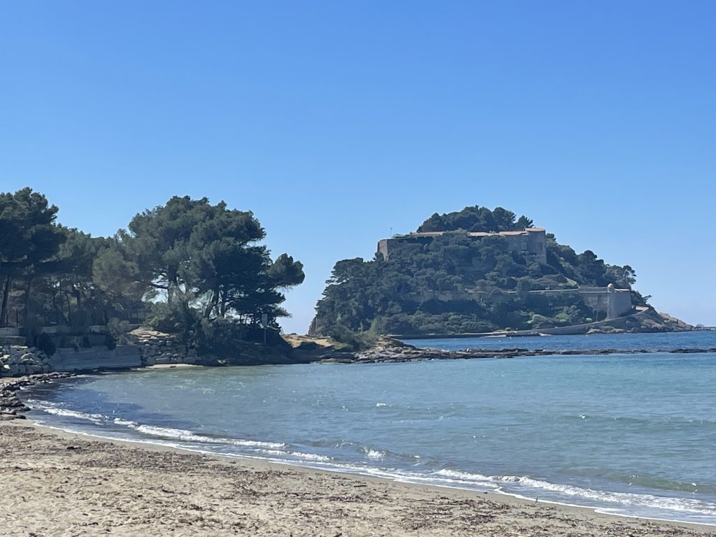
Our campsite, St Pons, in Le Lavandou provided an excellent base for cycling to surrounding beaches, including Cap de Bregancon which was a private residence of the President until2013. The town itself was awash with birds of paradise, and the town above it, Bormes Les Mimosa, provided views of the area for miles and miles.
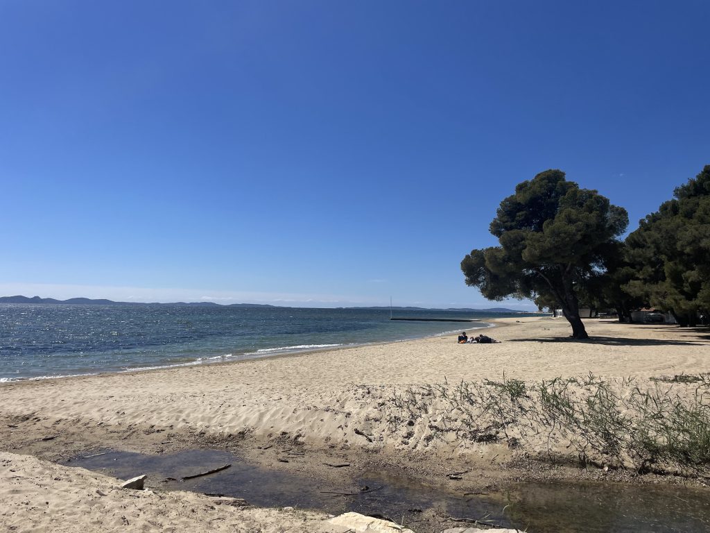

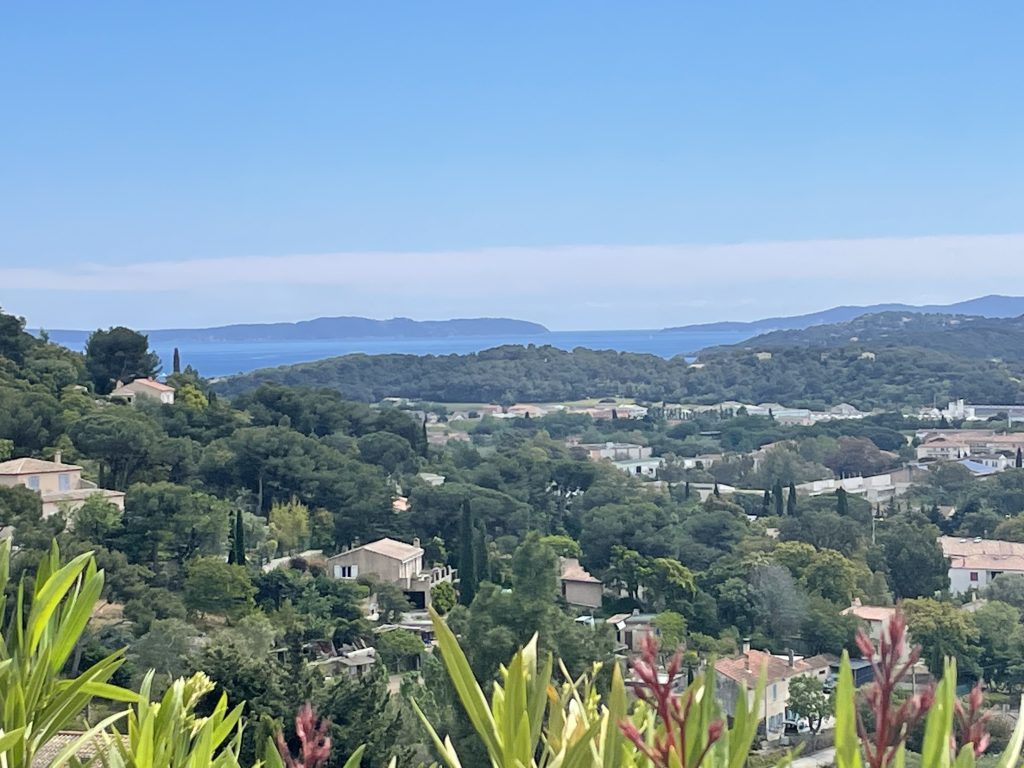
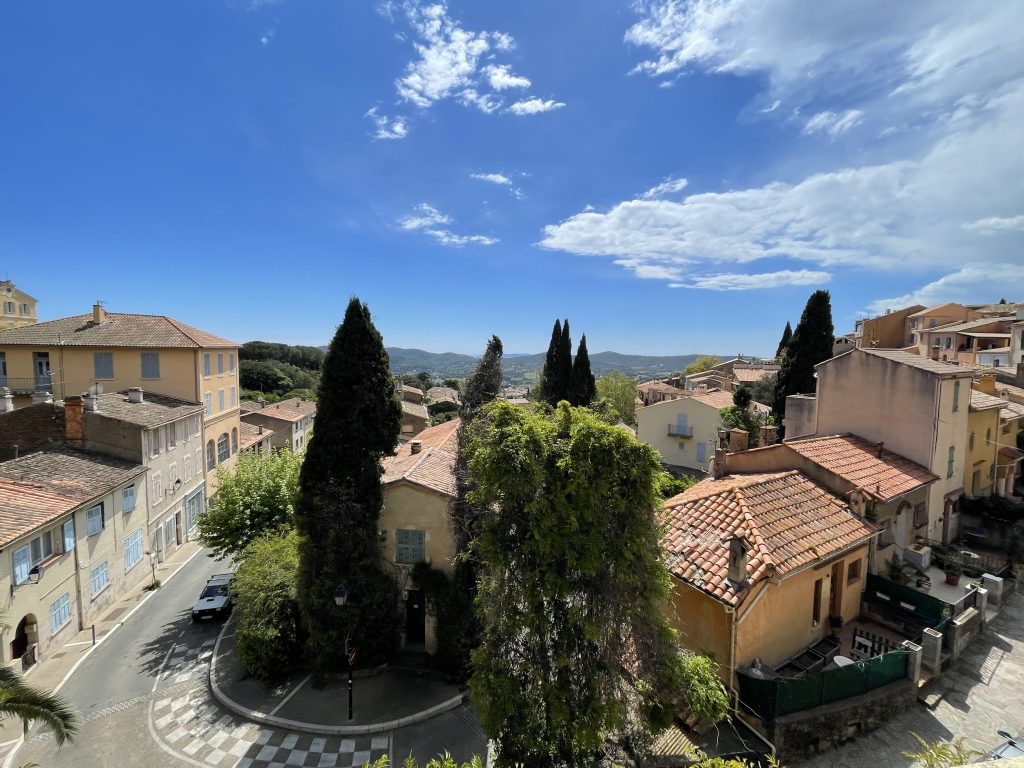
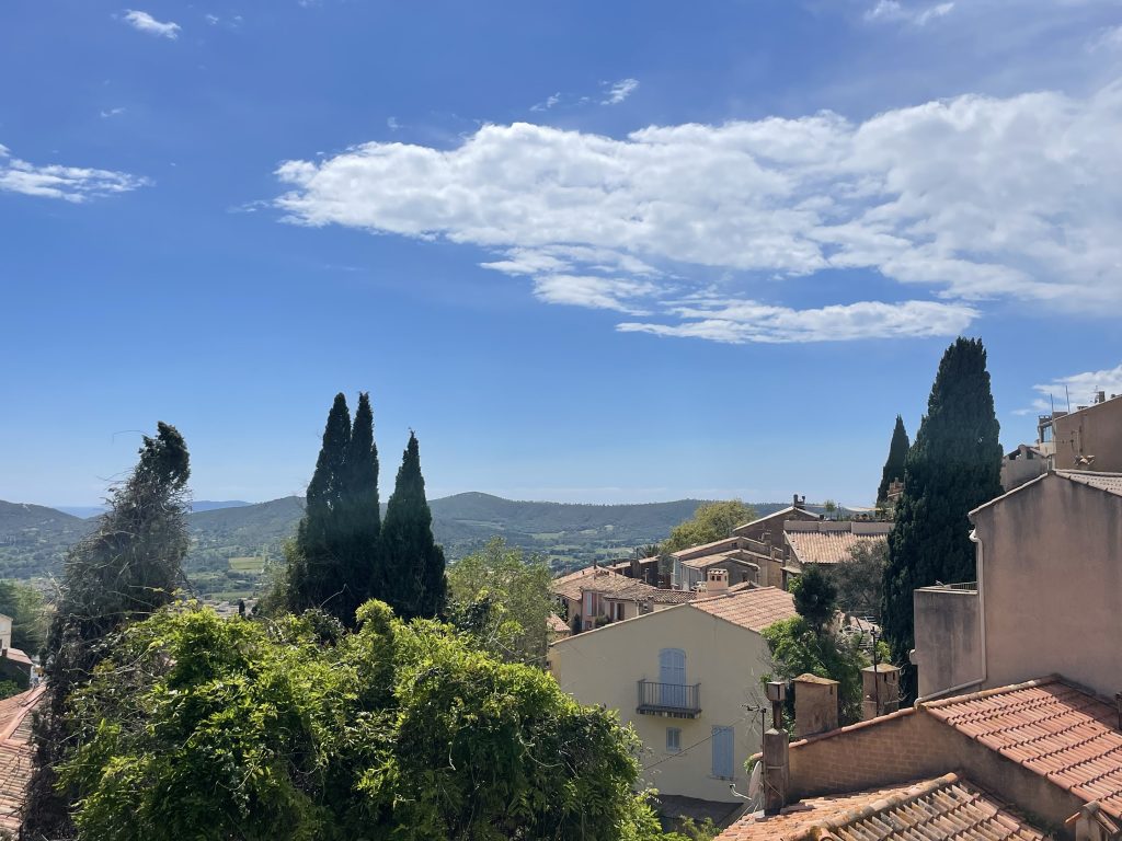
This is by far our preferred area so far, fewer people, variety of scenery, authentic French villages, and to top it all, the warmest part of the country this week.
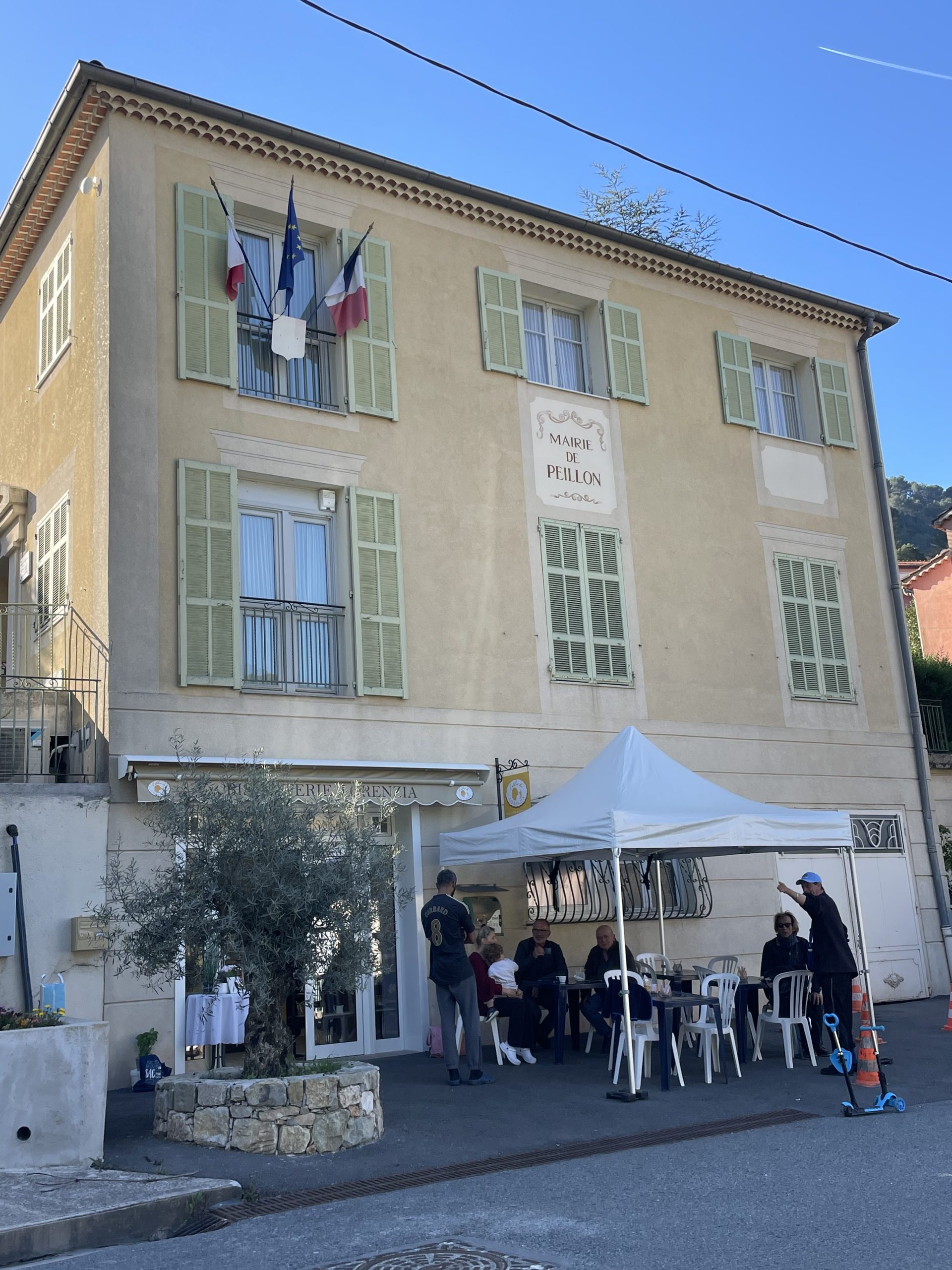
There aren’t any campsites on the coast between Villeneuve-Loubet – where we stayed just north of Antibes – and the Italian border, a distance of about 30 miles. So we stayed inland at Peillon, north of Monaco, a lovely little campsite, where our next door neighbours were a couple from UK, Pete and Wendy. Not only were they from UK, but Pete was originally from Folkestone, has an Irish passport, and they used to have a collie dog till last year, just like us. Oh, and they cycle.
From Peillon we used trains to get to Nice, Monaco and up into the lower Alps to Tende.
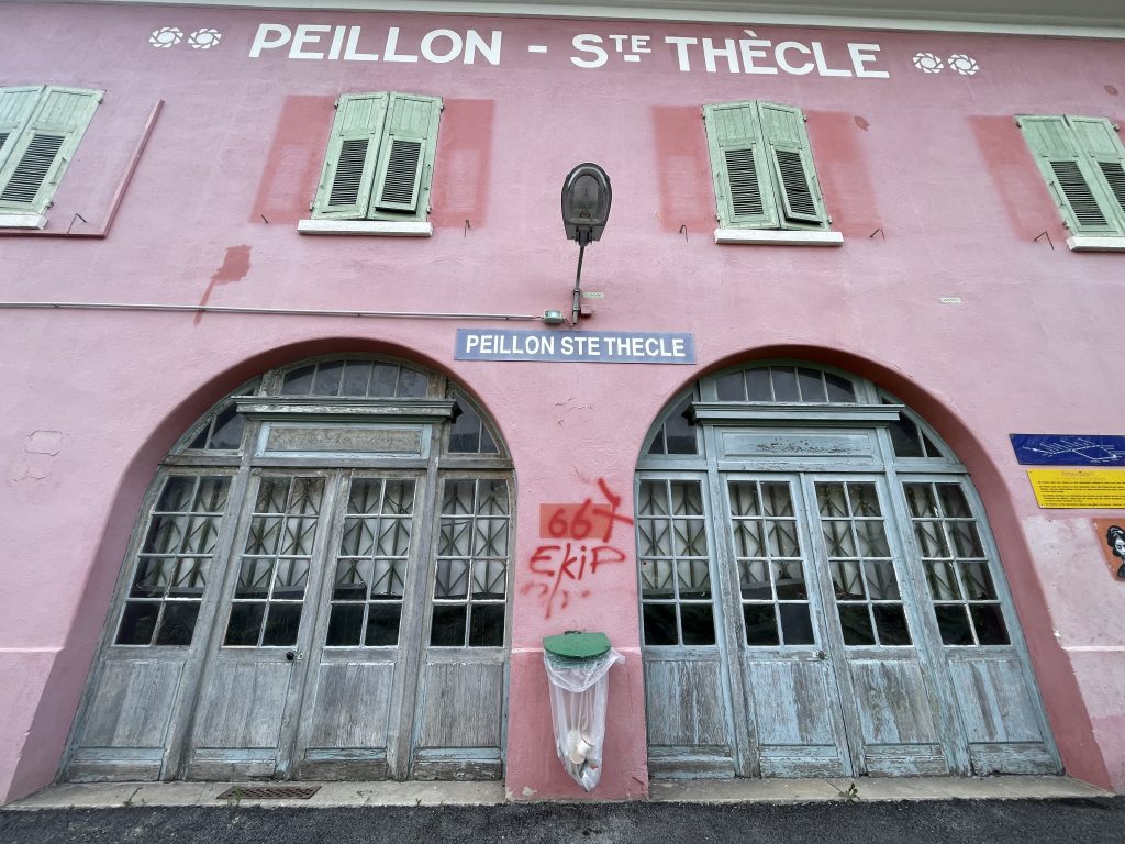
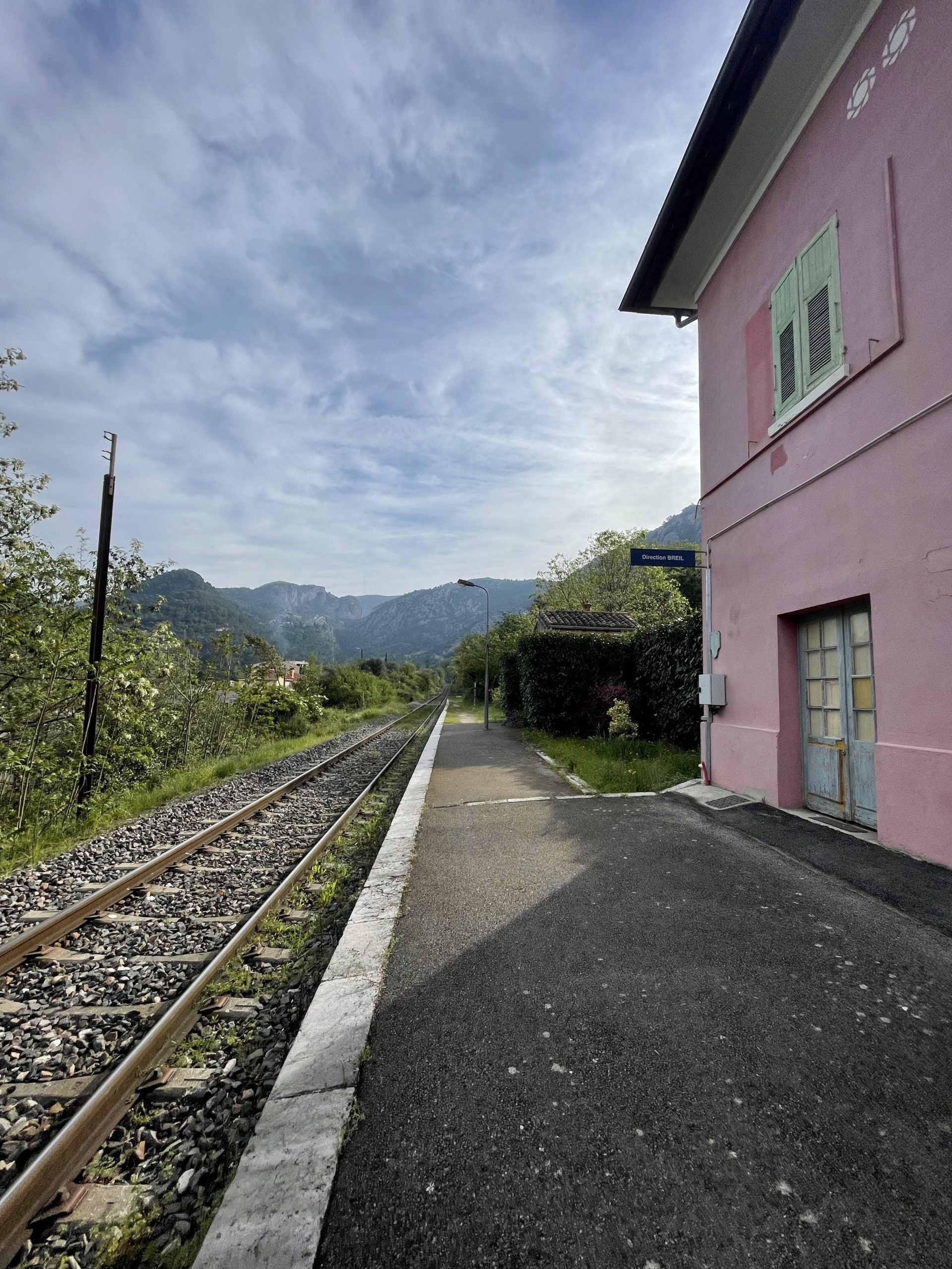
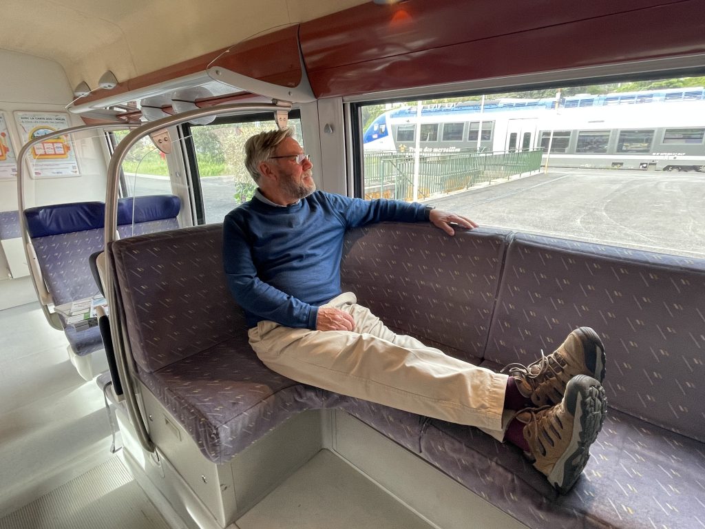
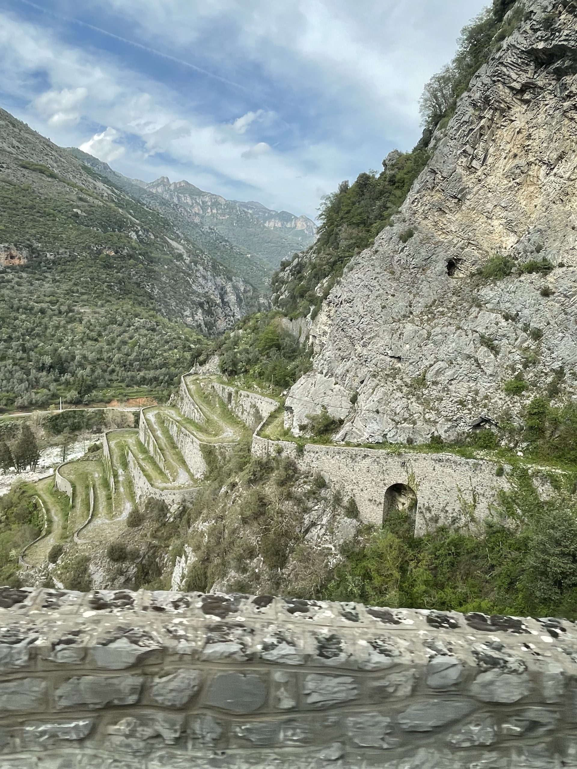
TENDE & VALLEE DE MERVEILLES – Valley of Wonders
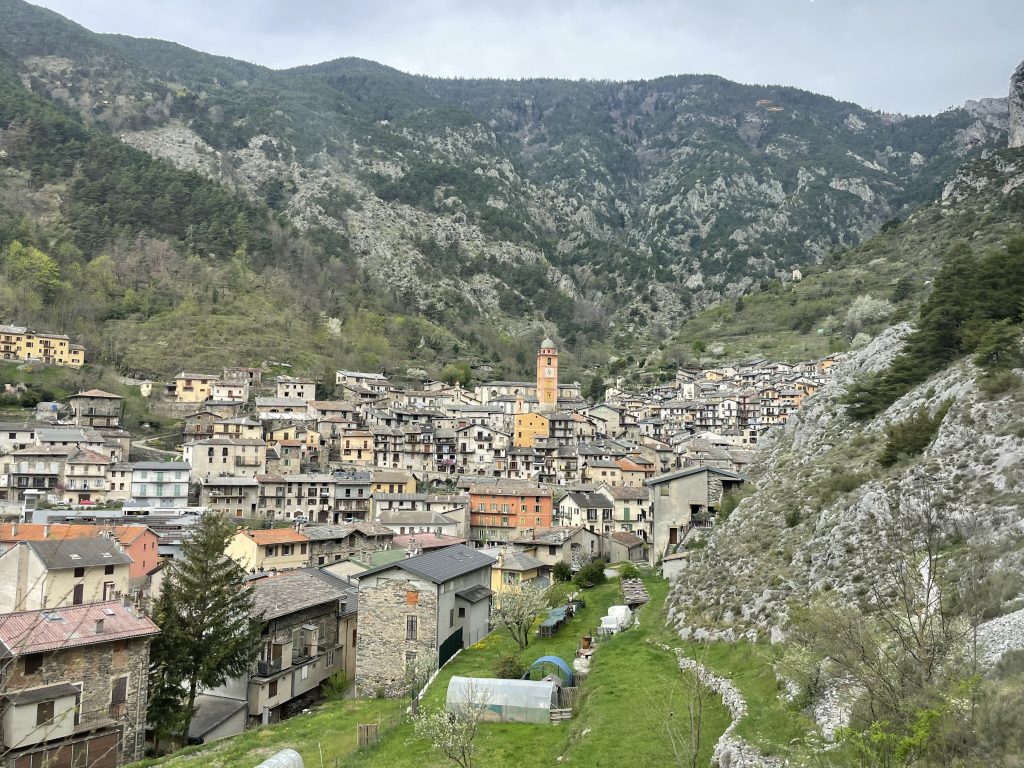
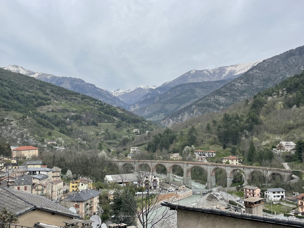
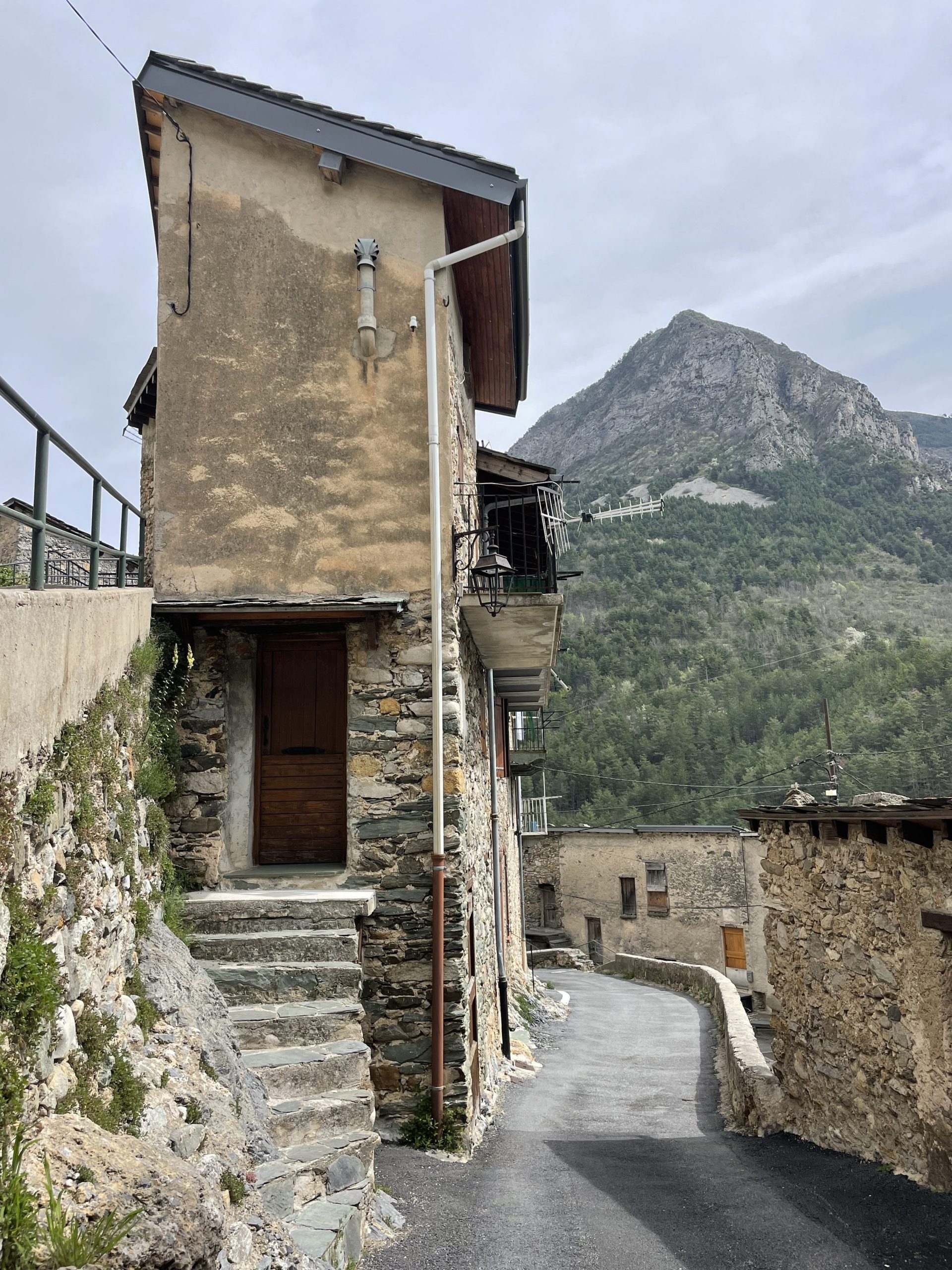
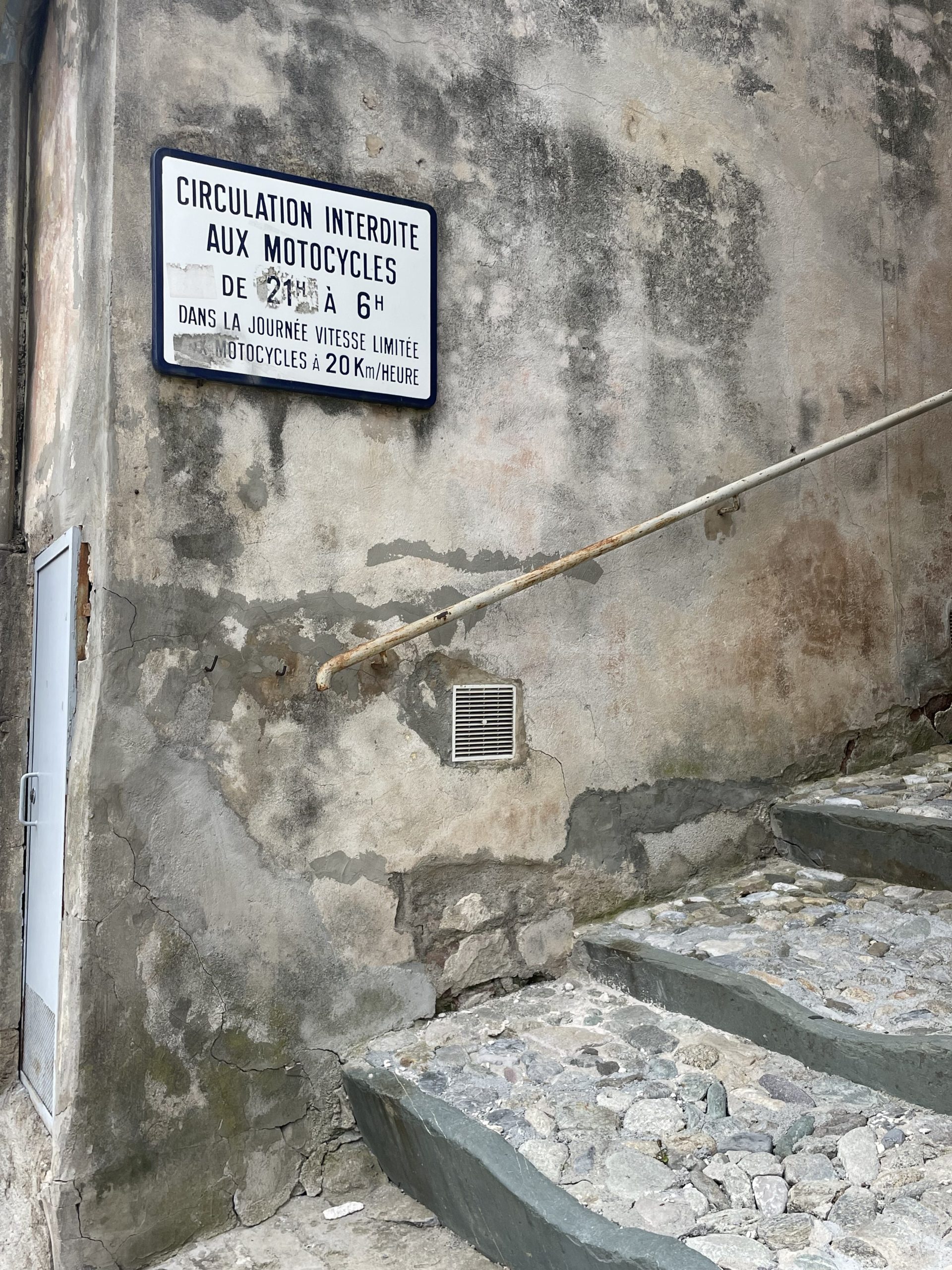
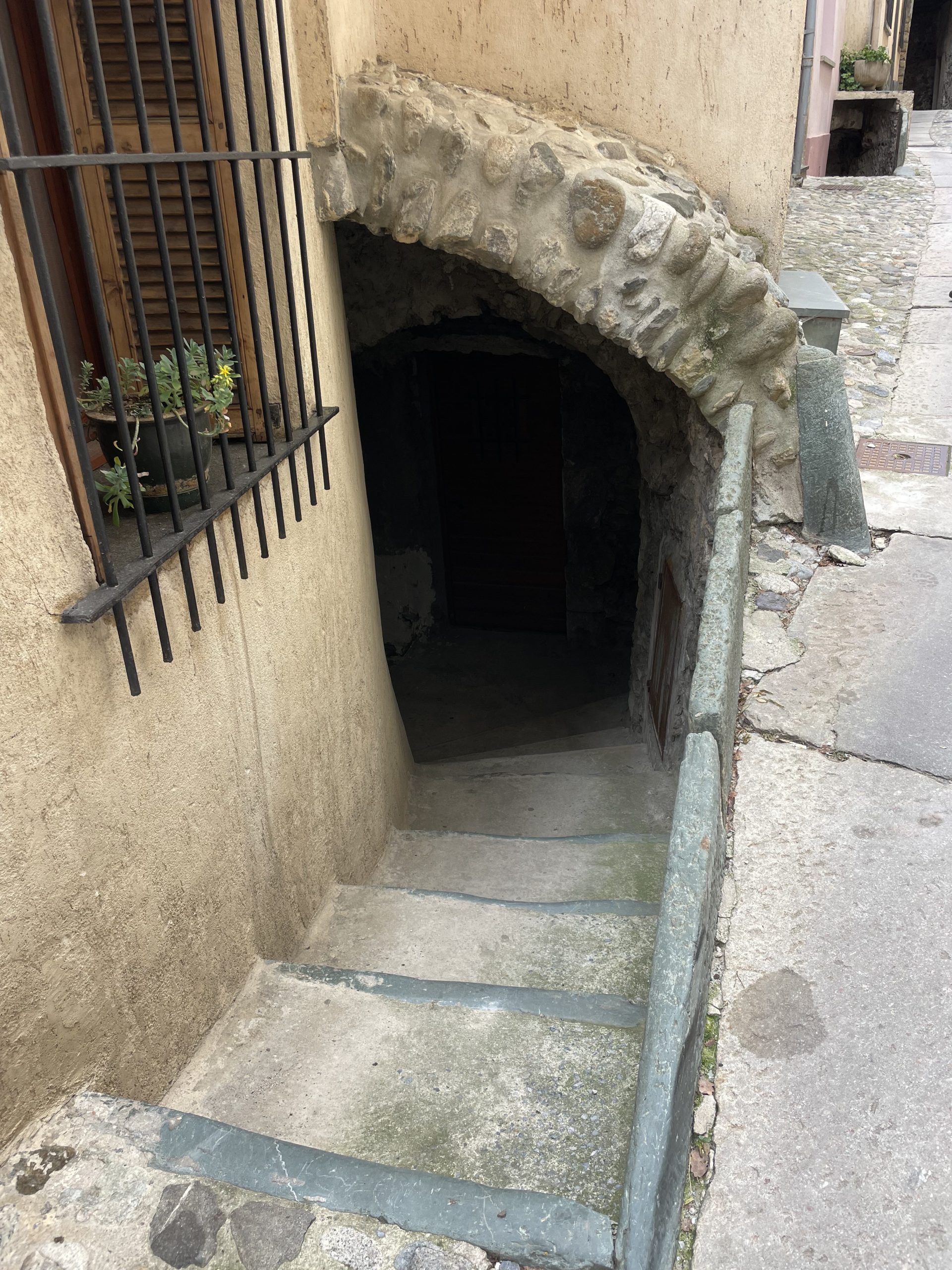
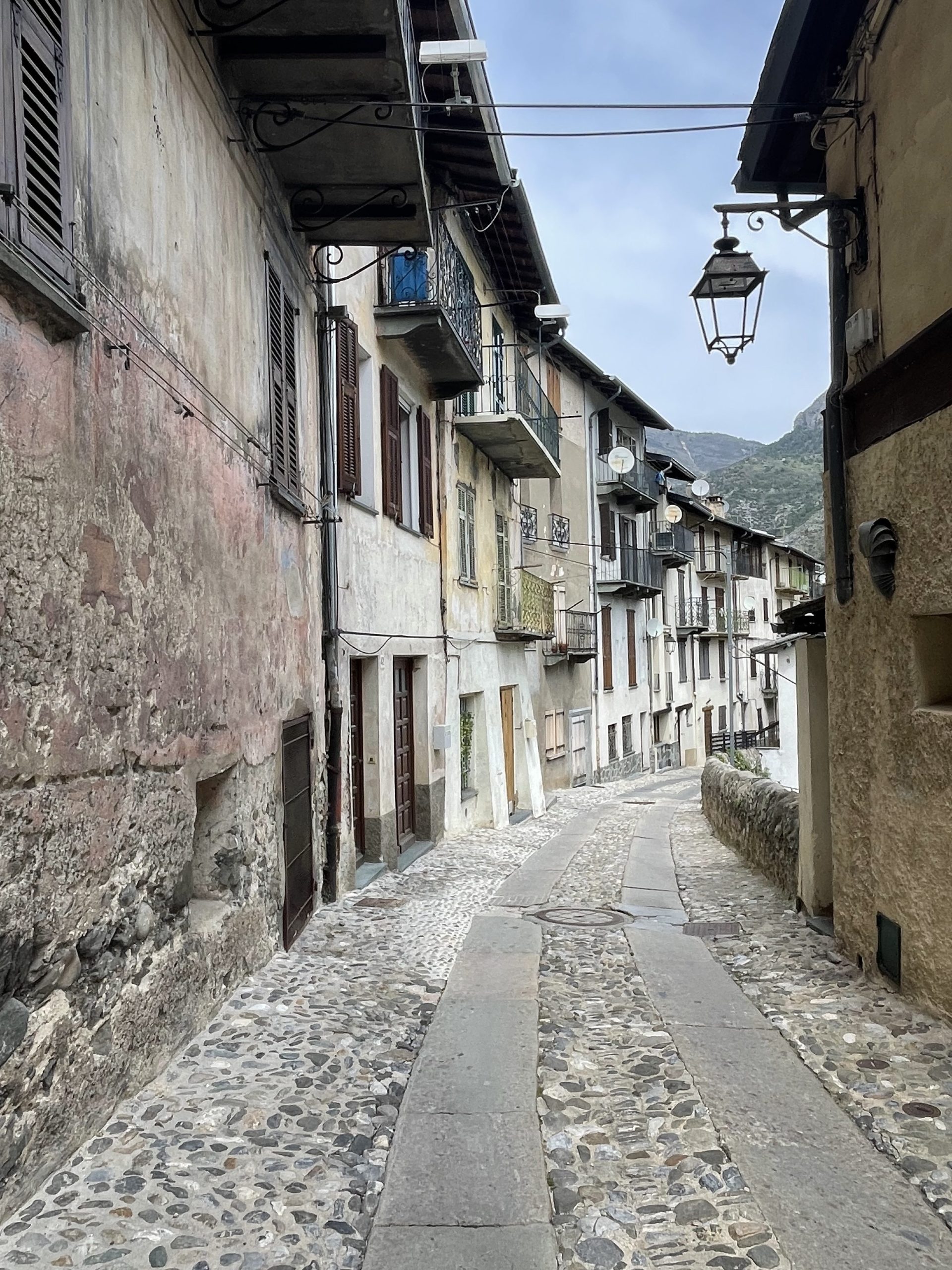
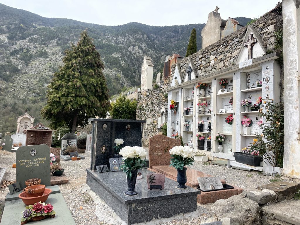
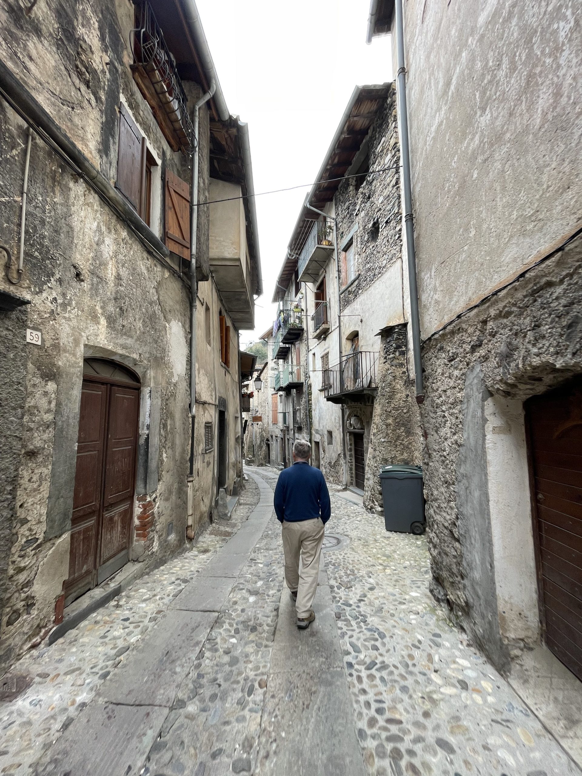
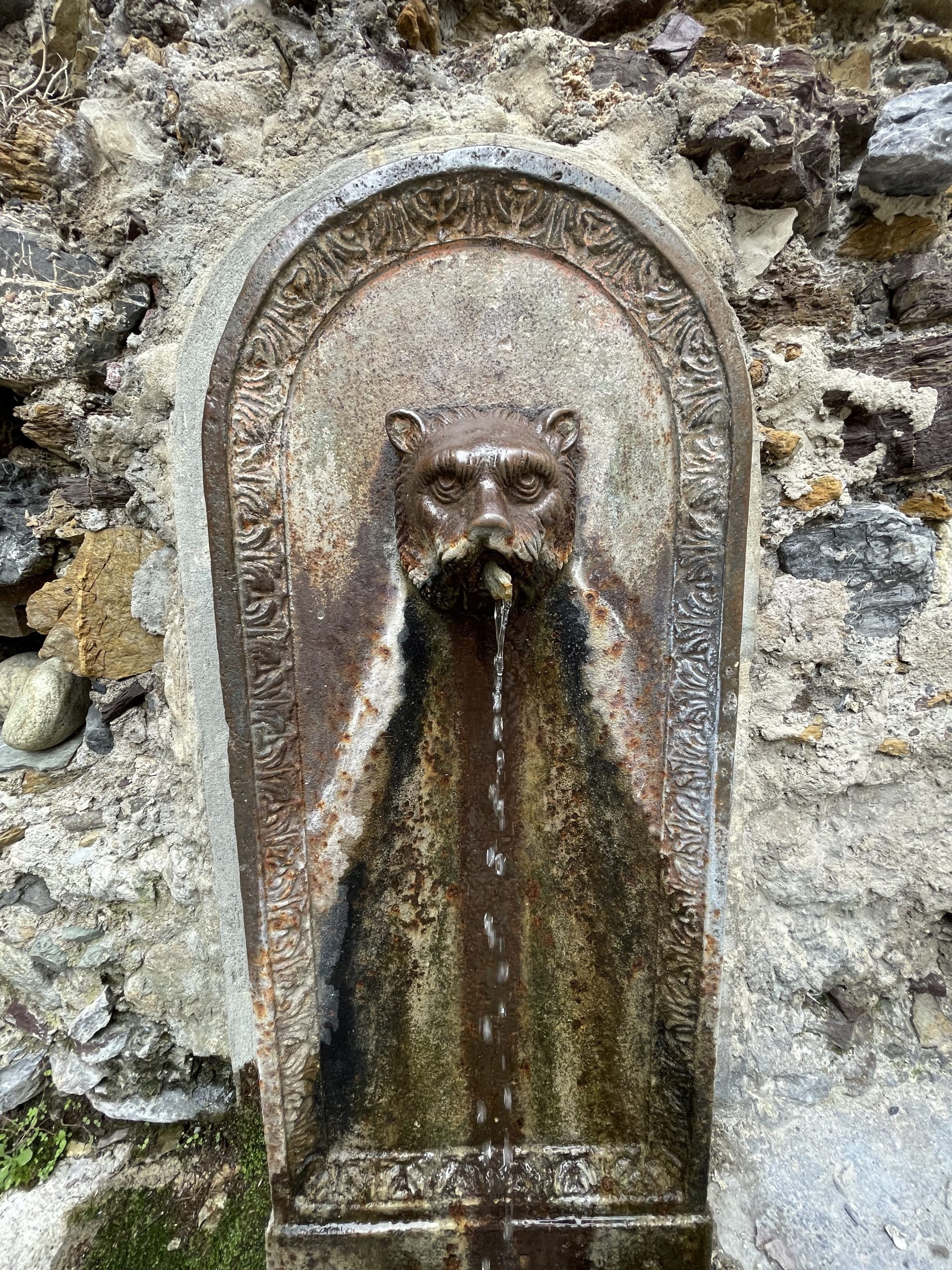
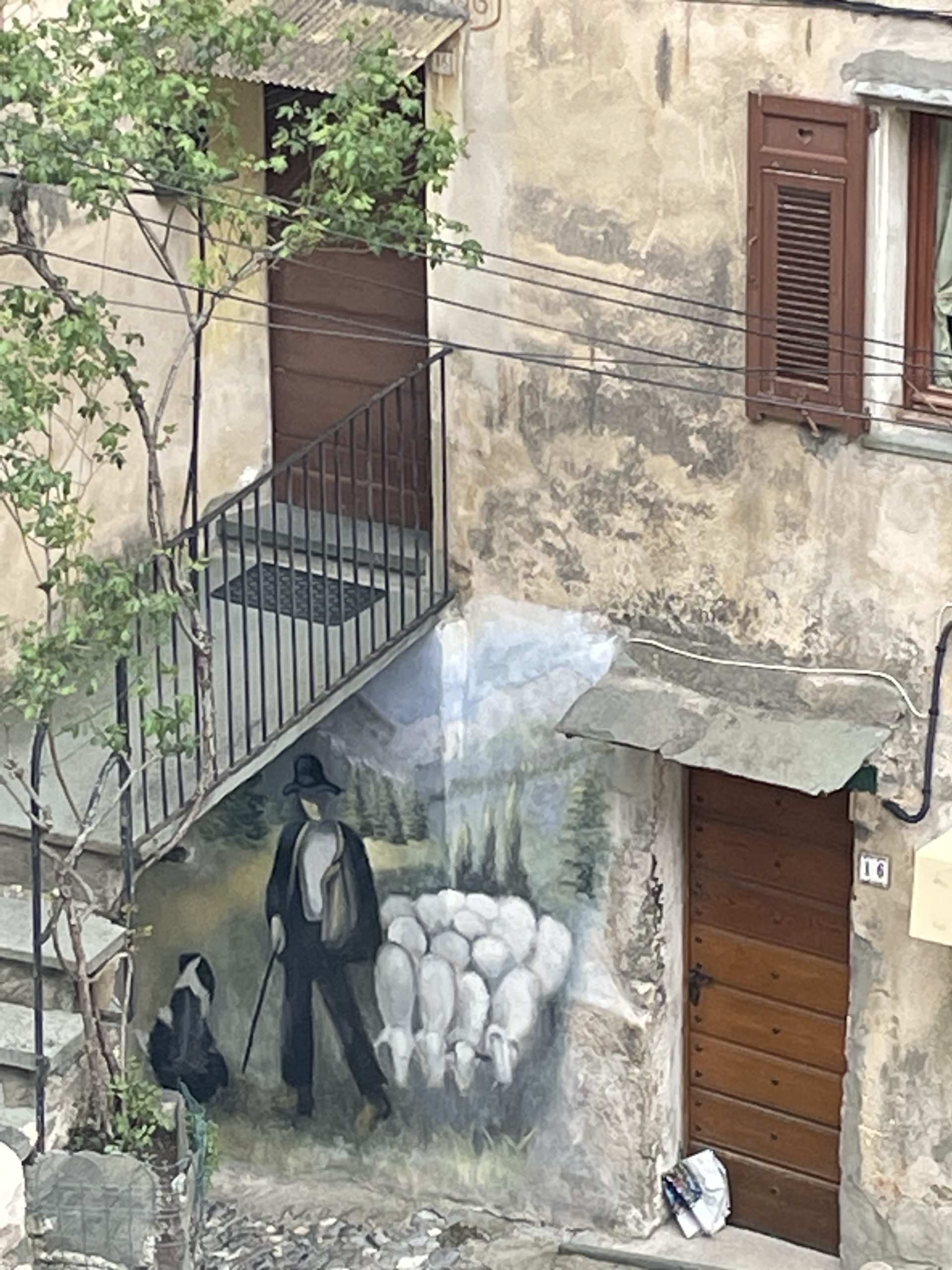
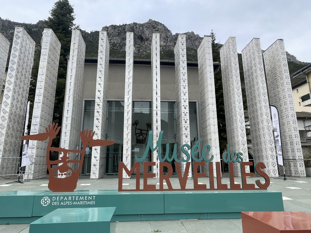
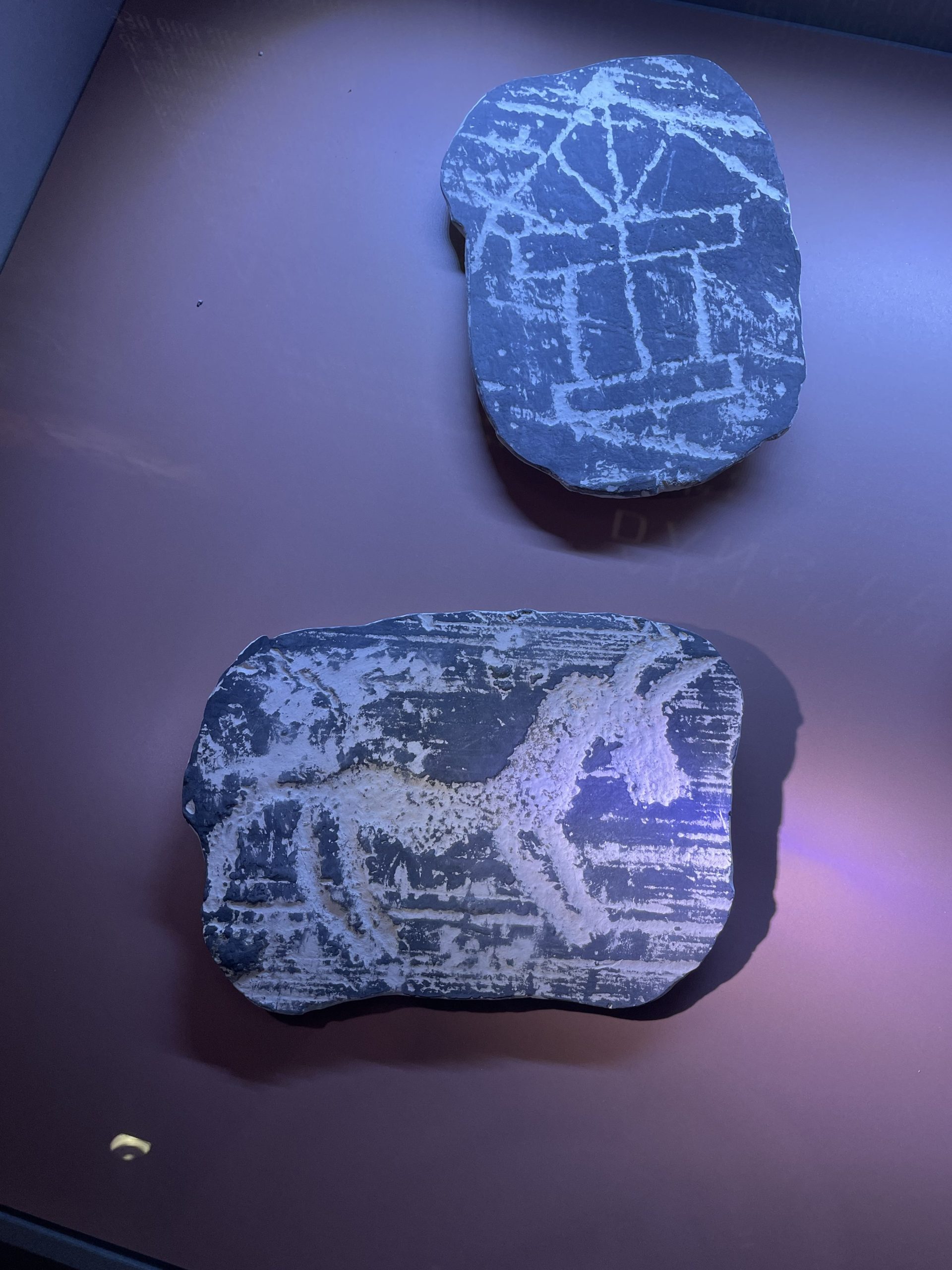
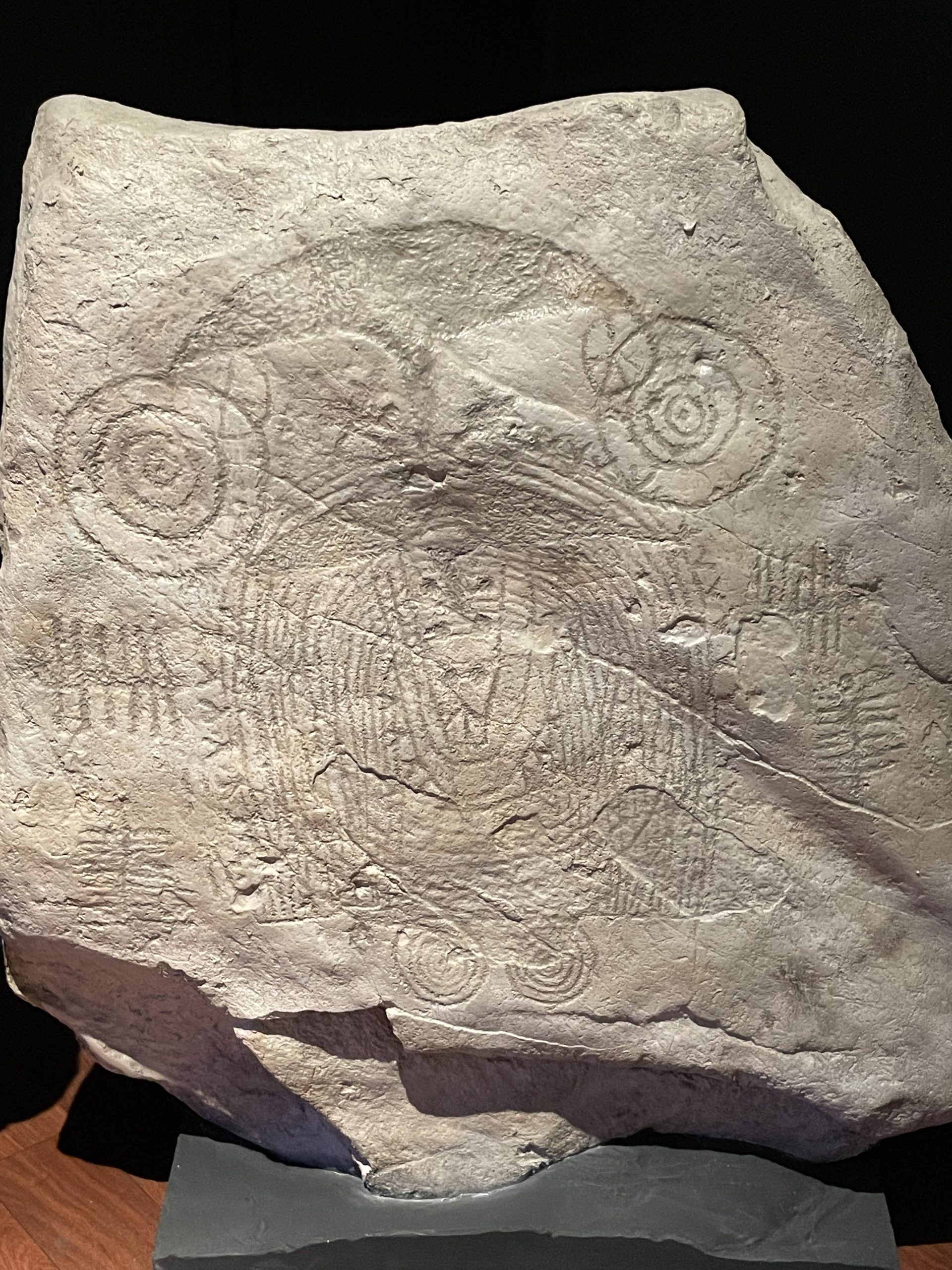
Tende is a medieval village near the Italian border, 30 miles inland from the Mediterranean at a height of 1,100 metres. Nothing much has changed at Tende for centuries, other than it looked as if the population had shrunk as only about 10% of houses appeared to be occupied. The newest building was the wonderful museum which housed engravings found in the Valley of Wonders dated from 6,000 years ago.
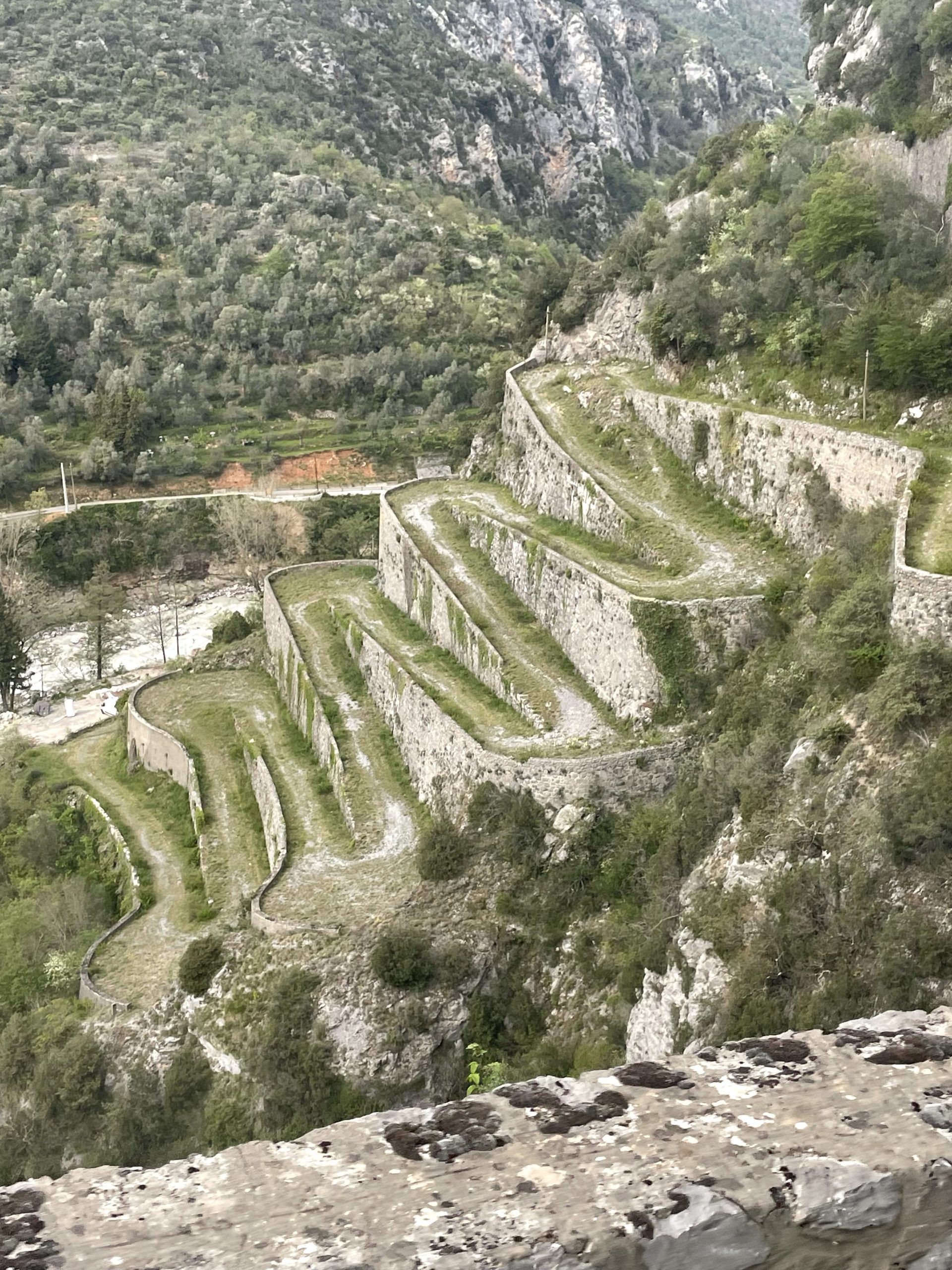
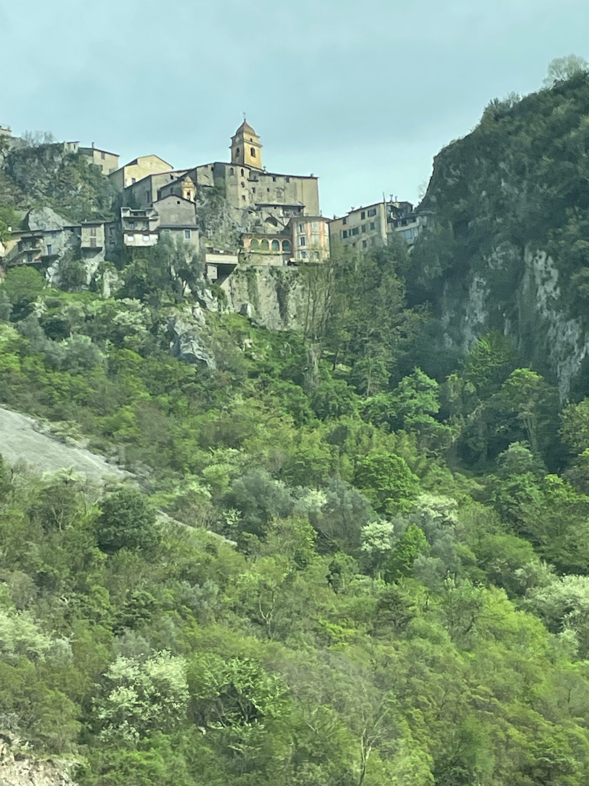
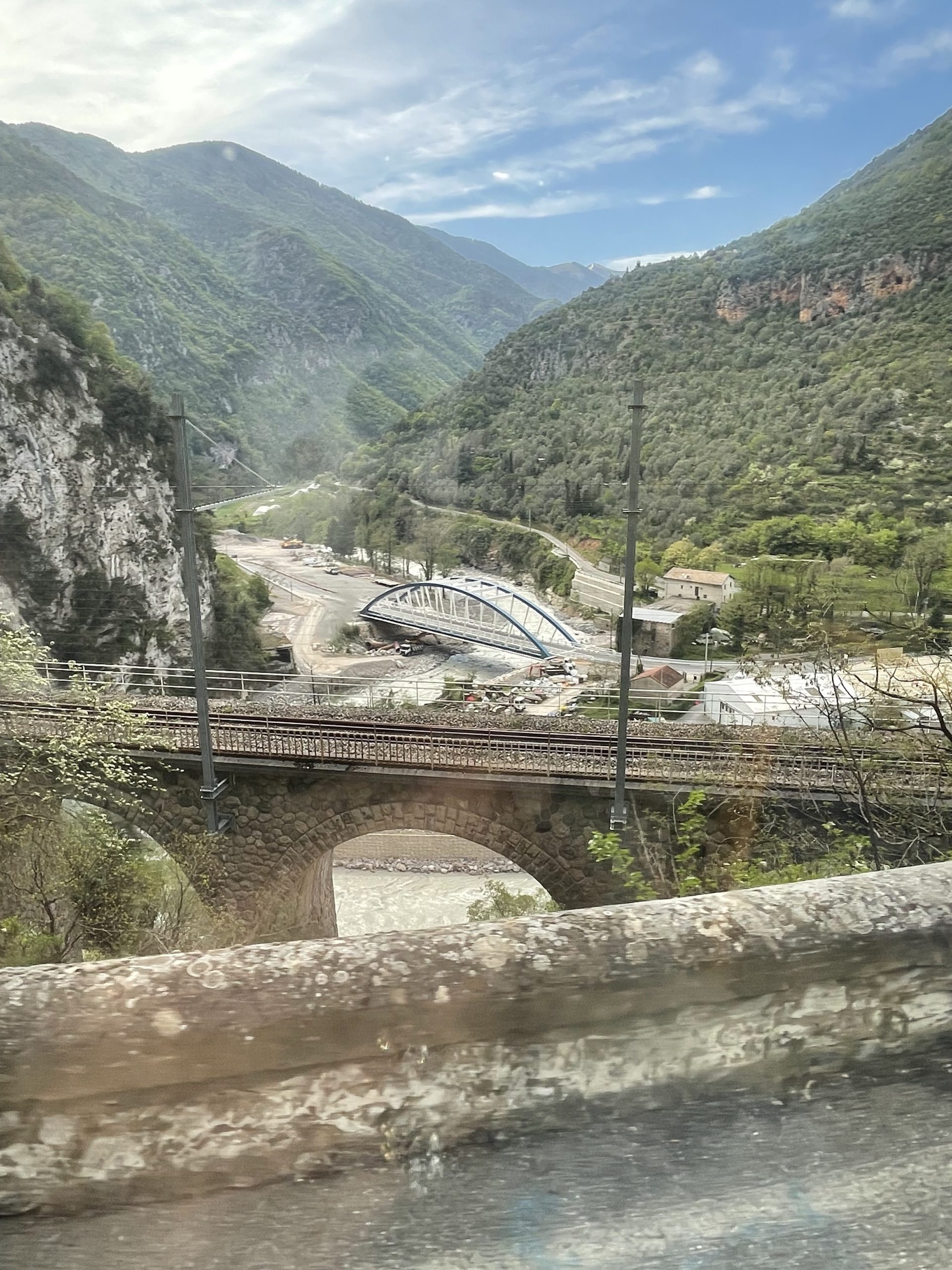
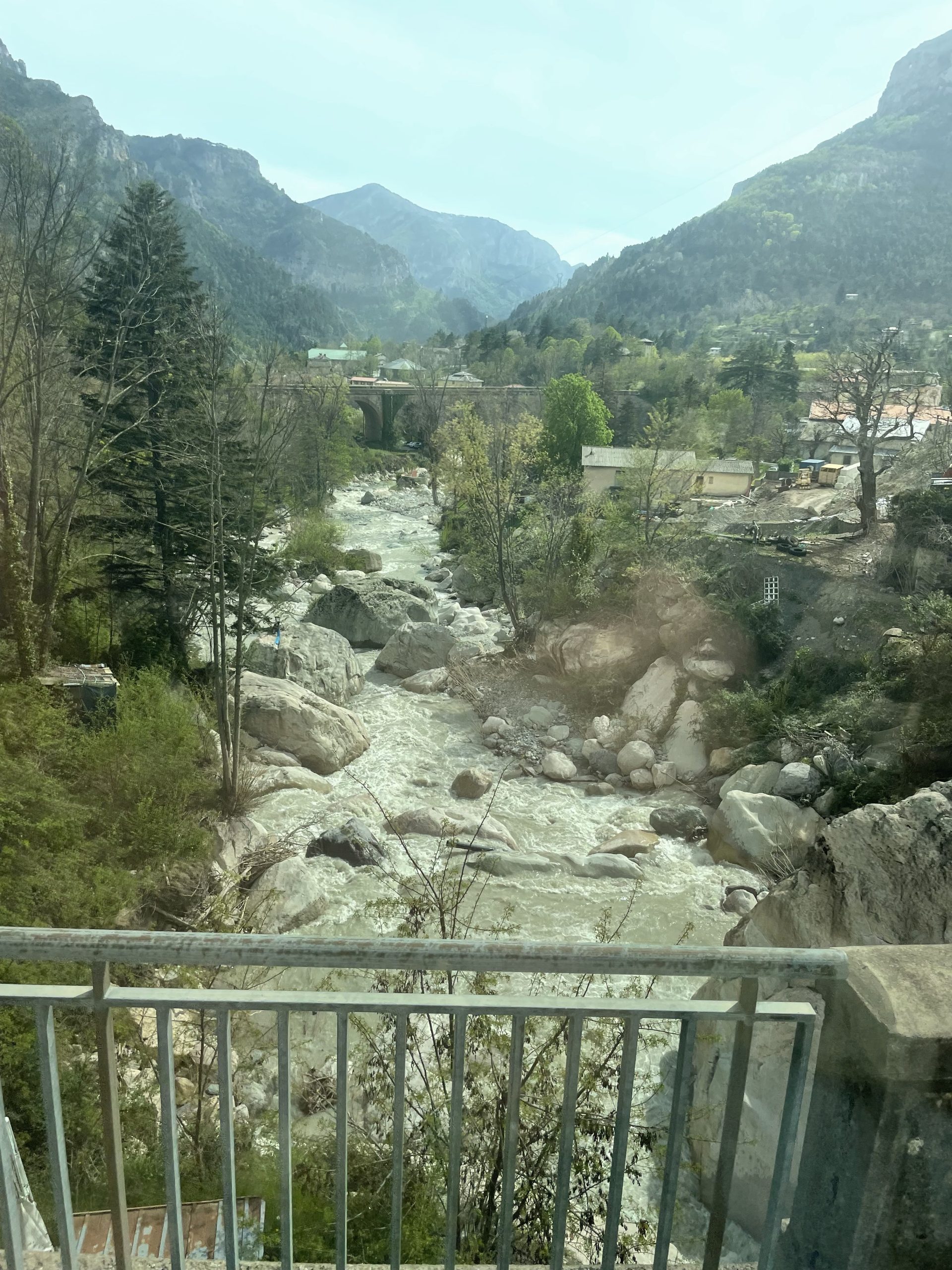
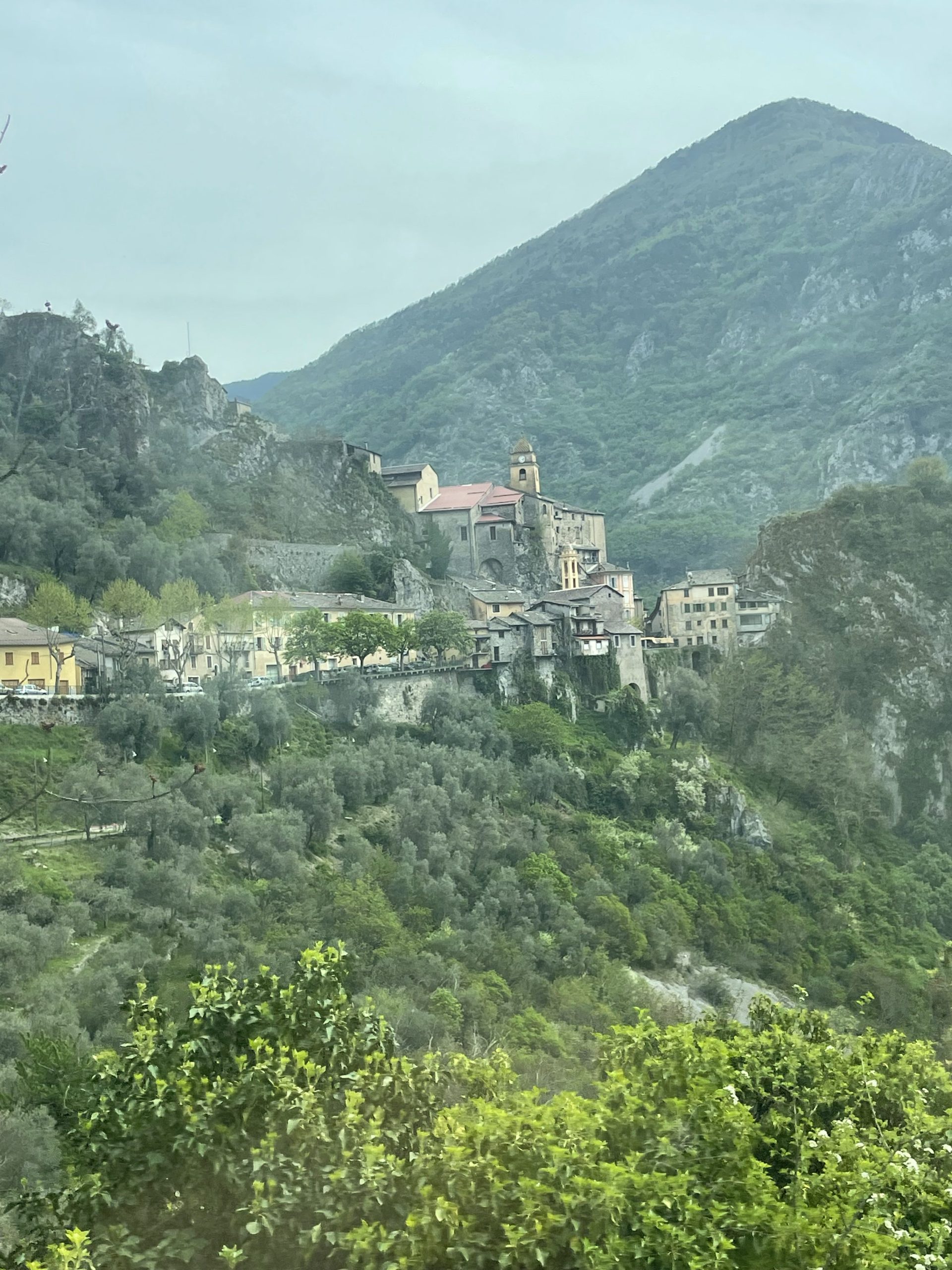
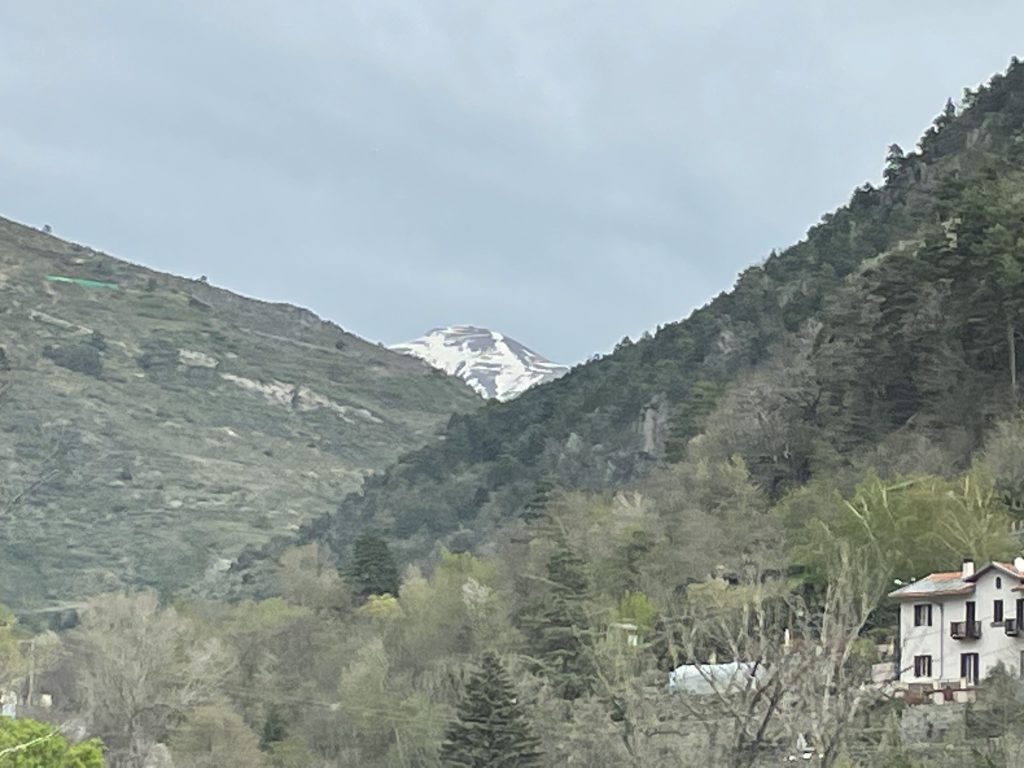
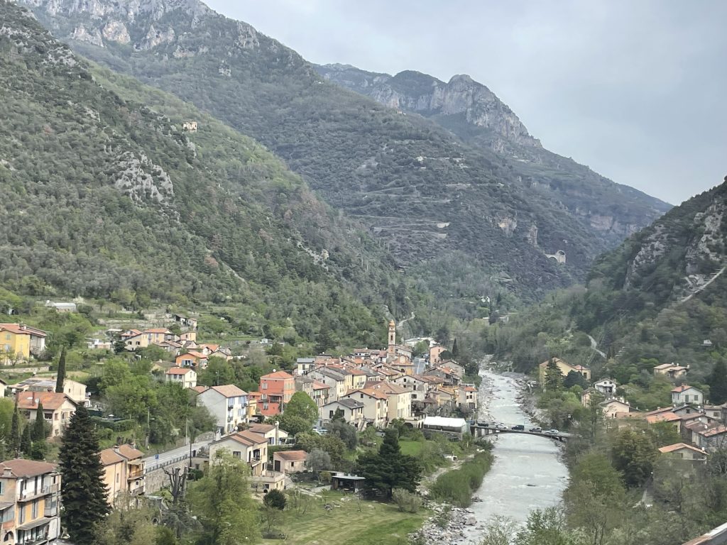
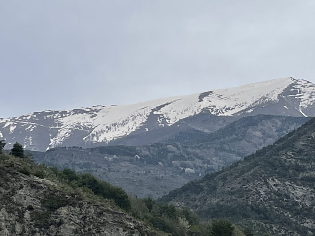

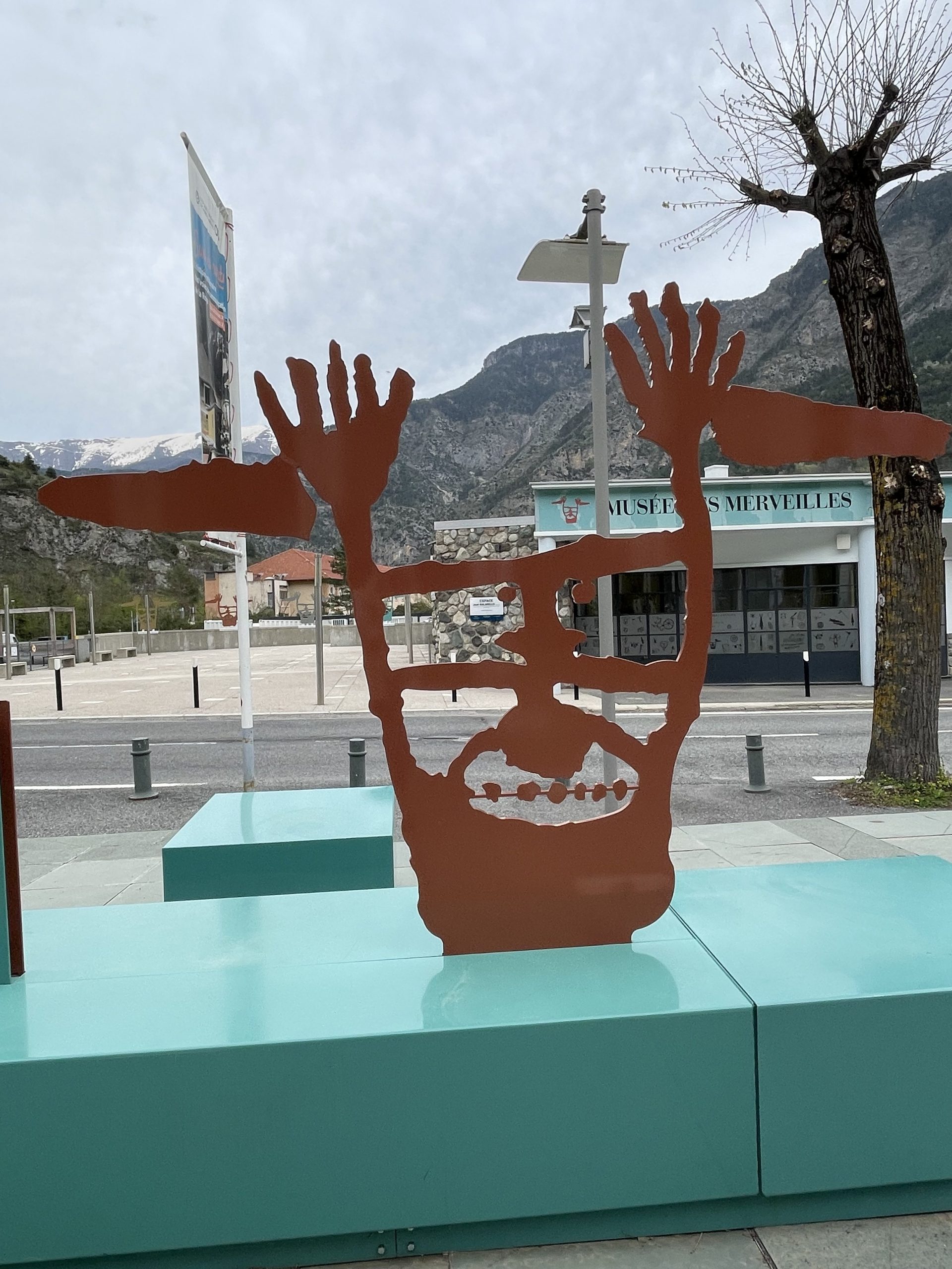
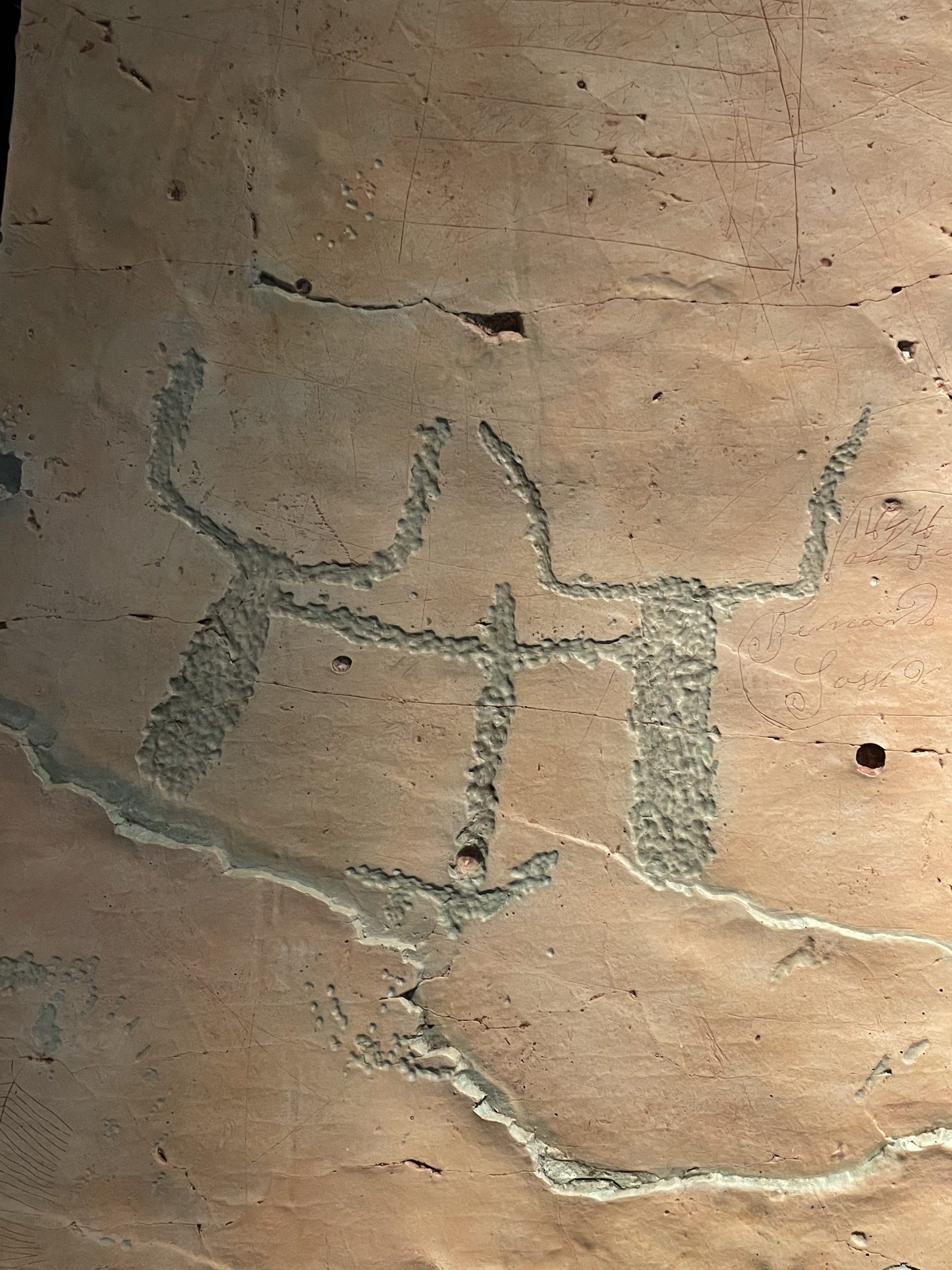
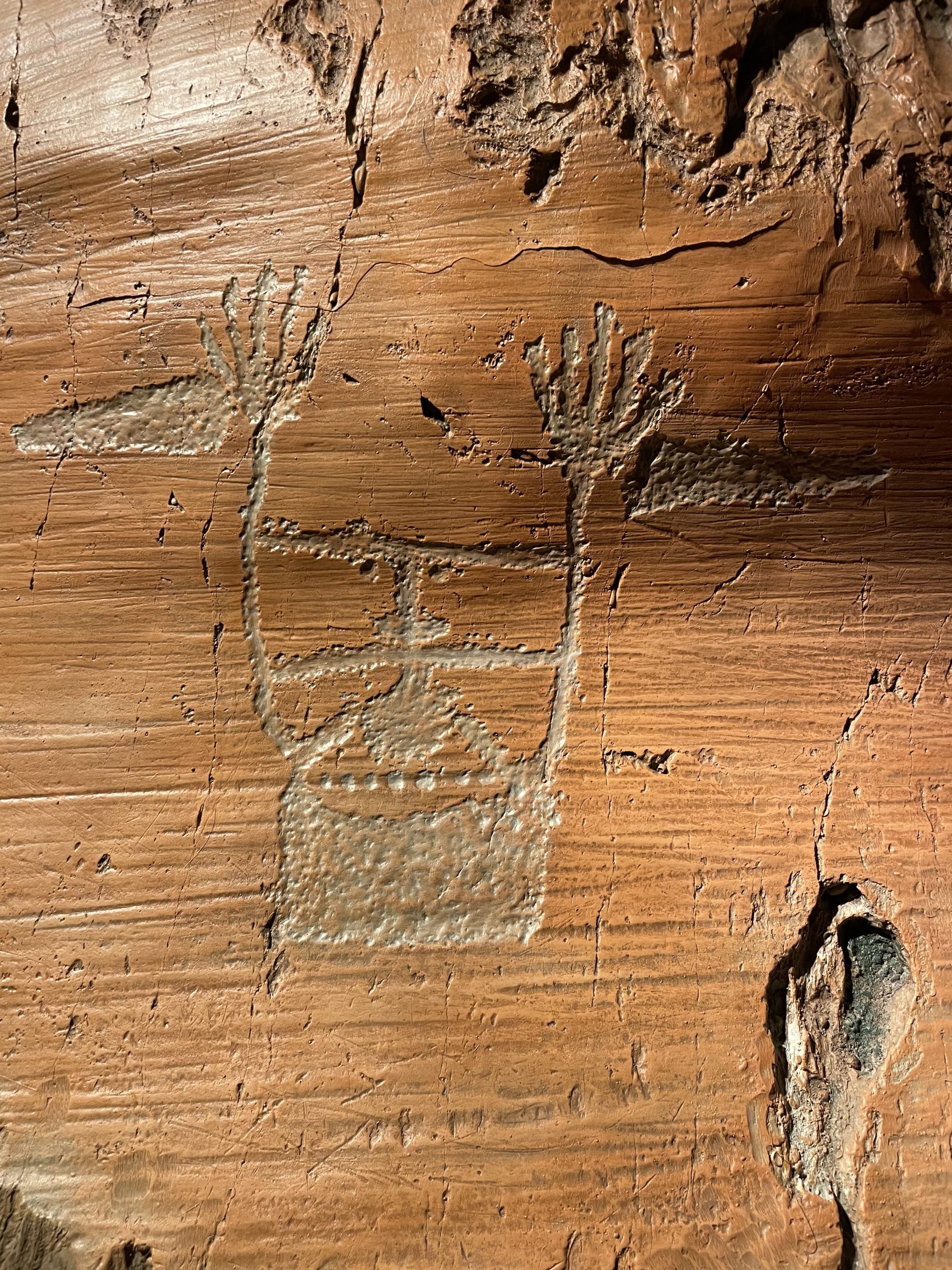
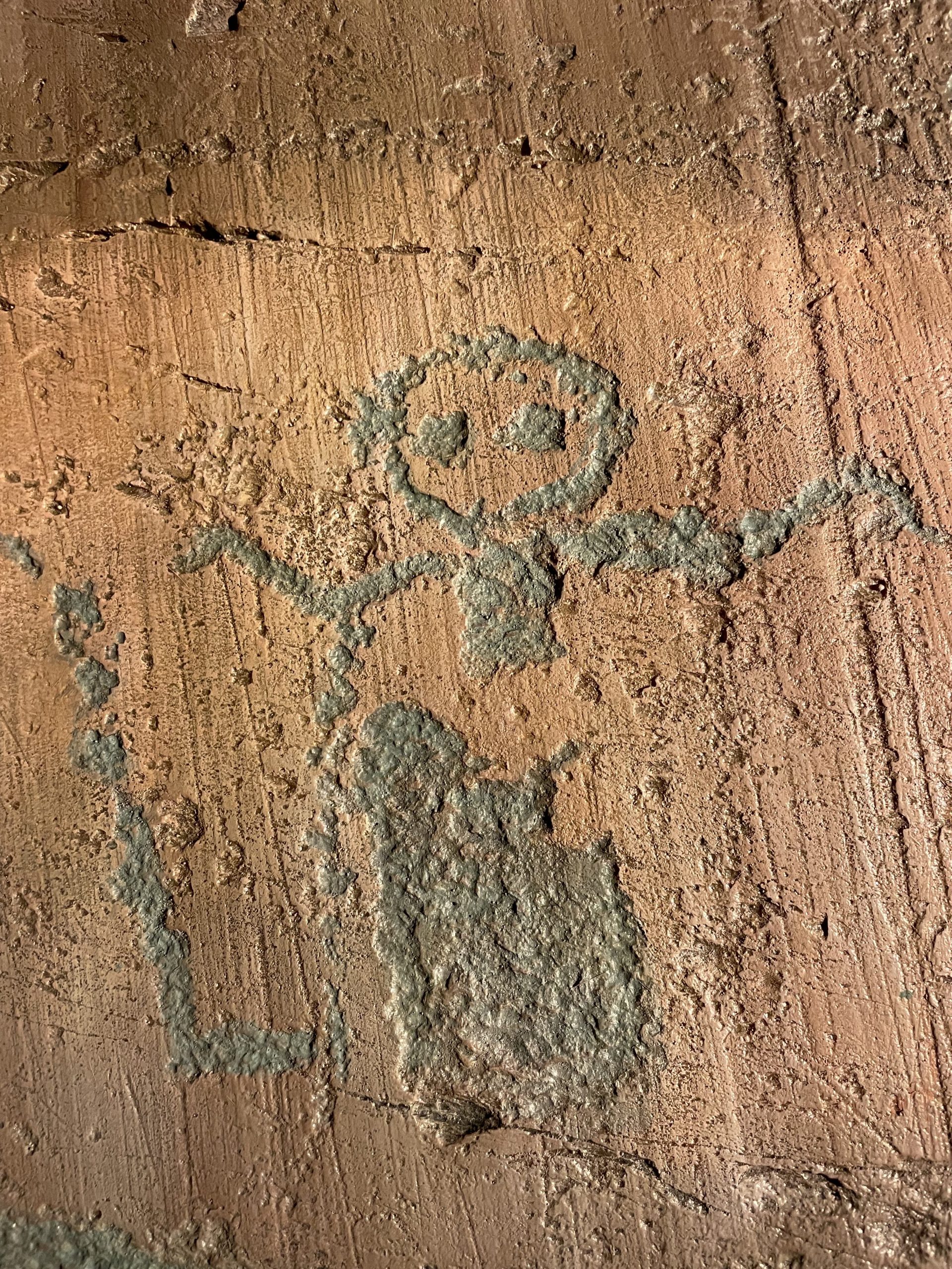
The Blue Coast, so named for its blue skies and sea, extends from St Tropez to Menton on the French/Italian border, it includes Cannes, Antibes, Nice, Monaco and several Corniches.
SUBLIME ST TROPEZ
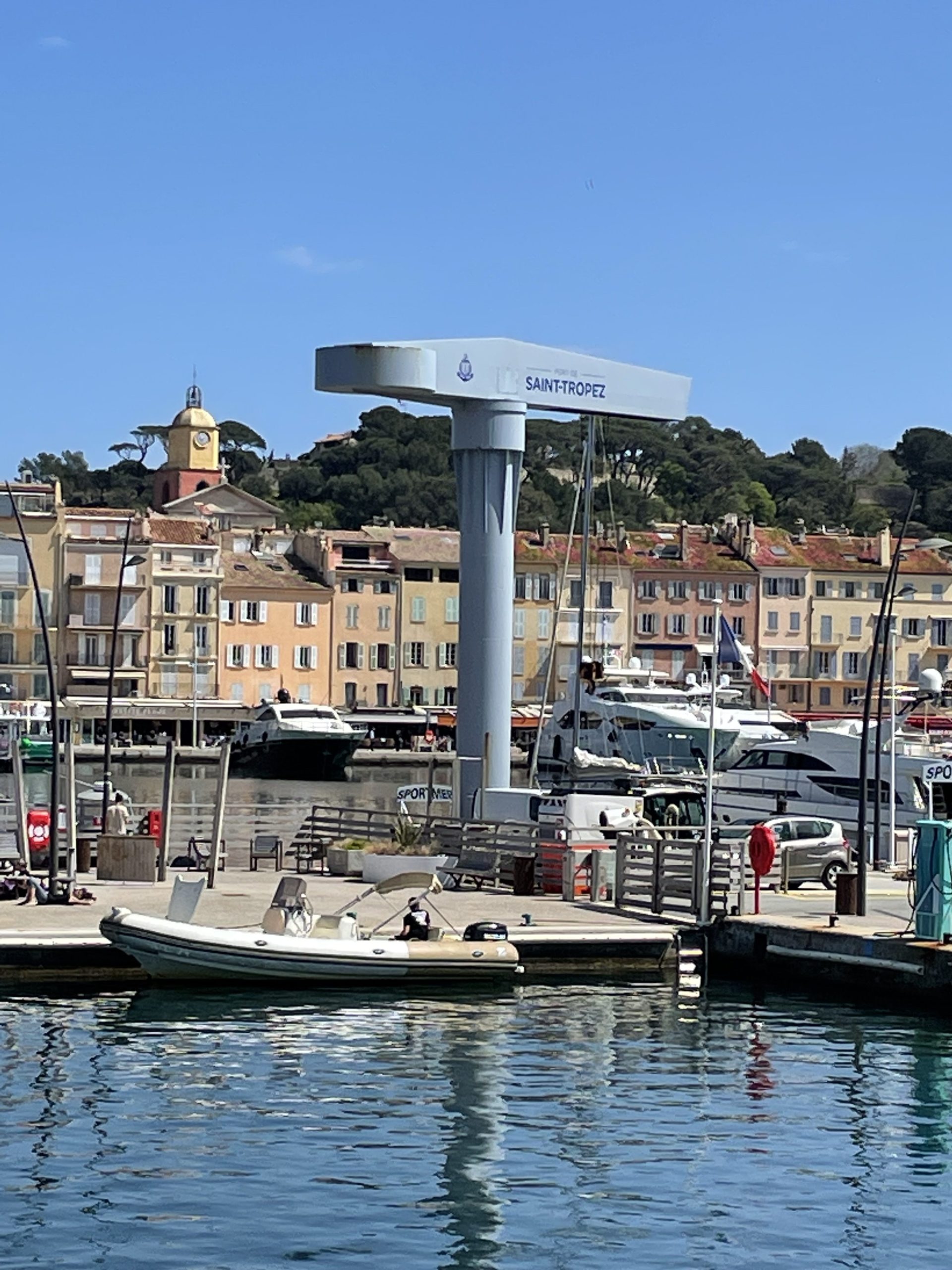
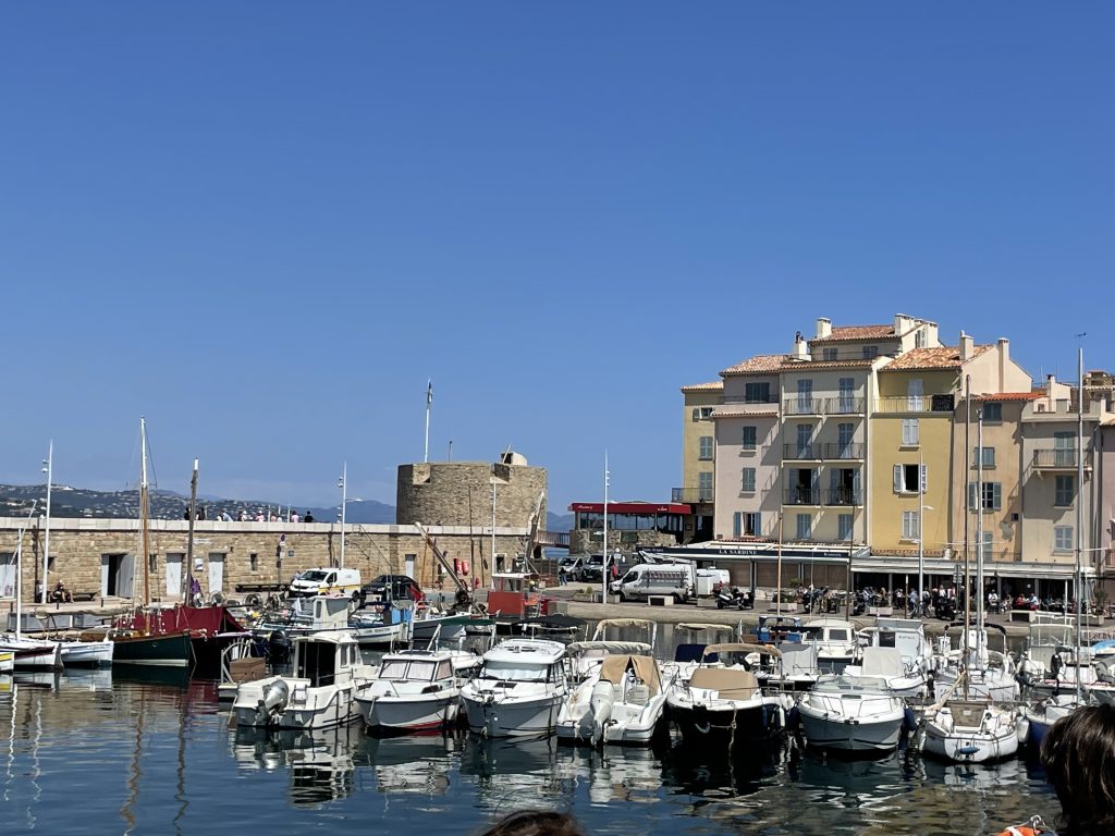
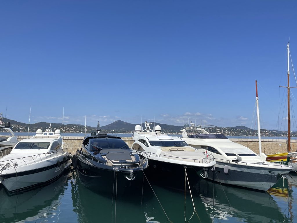
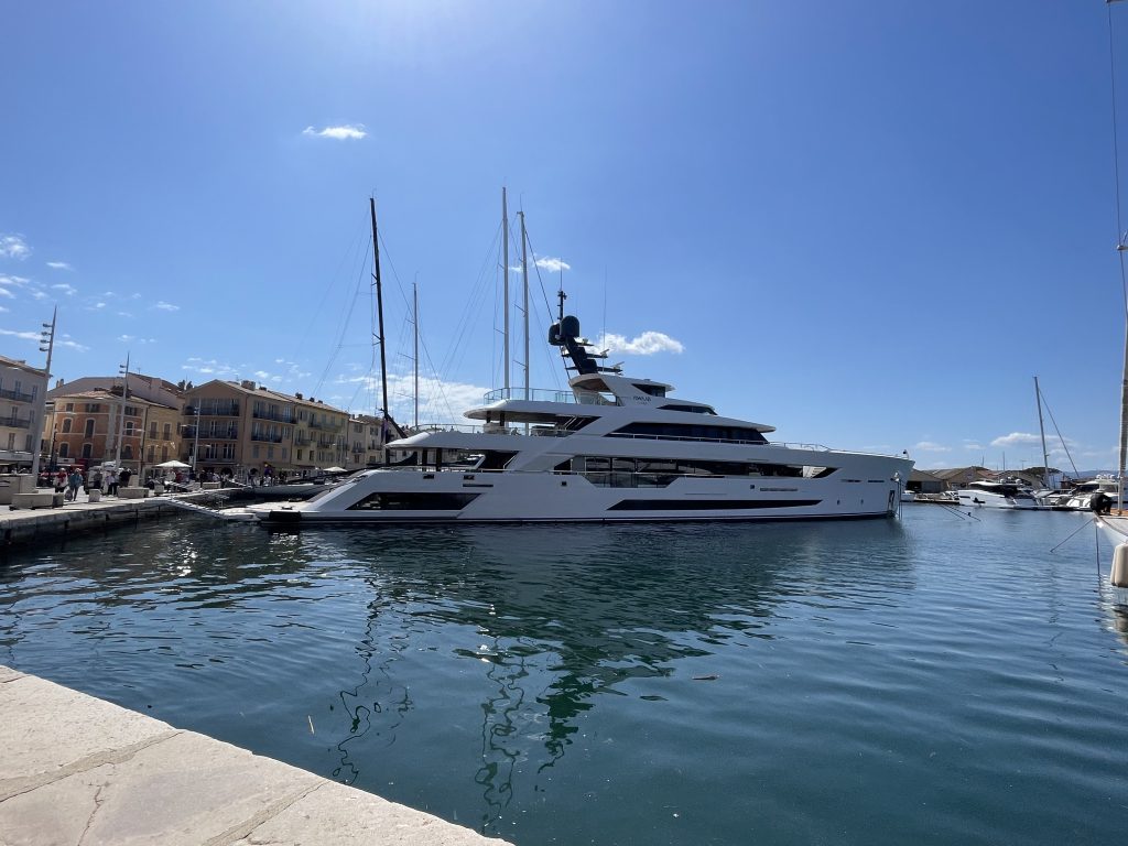
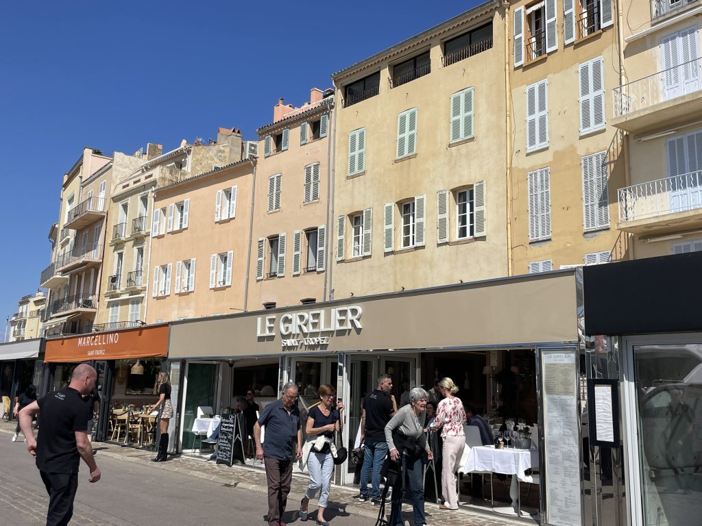
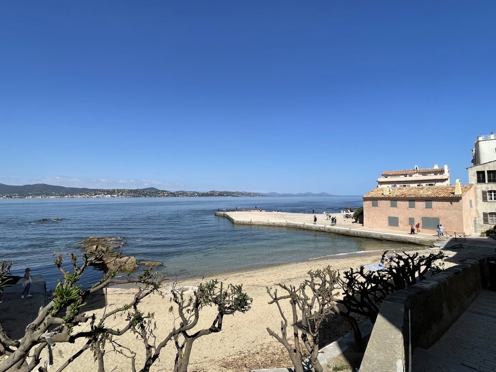
We found campsite Les Mures nestled between the sea and surrounding vineyards, between Sainte Maxime and Port Grimaud on the Bay of St Tropez, then walked to Ste Maxime and took the boat across the bay to St Tropez. It was the first time we’d approached by boat, our arrival into the marina was superb.
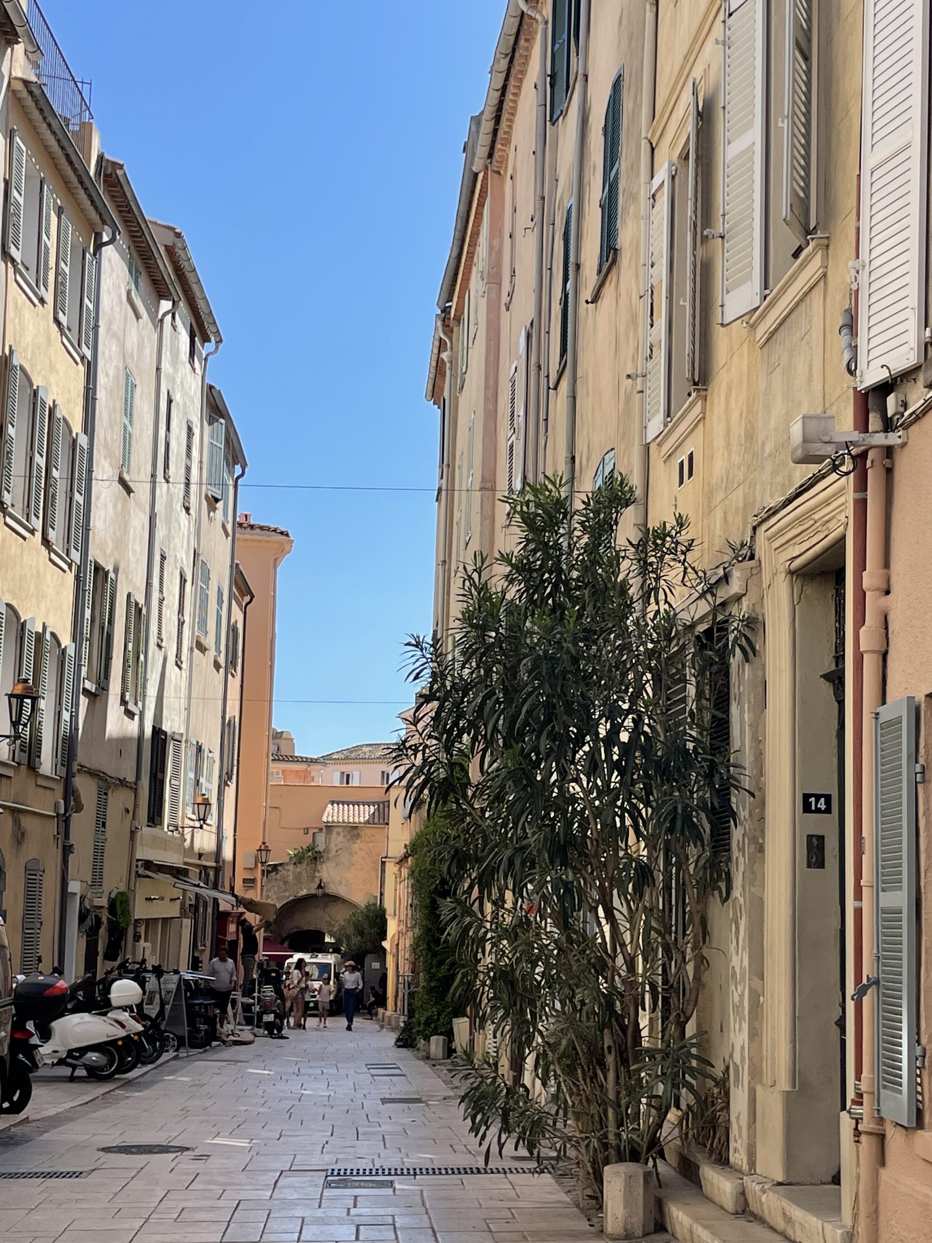
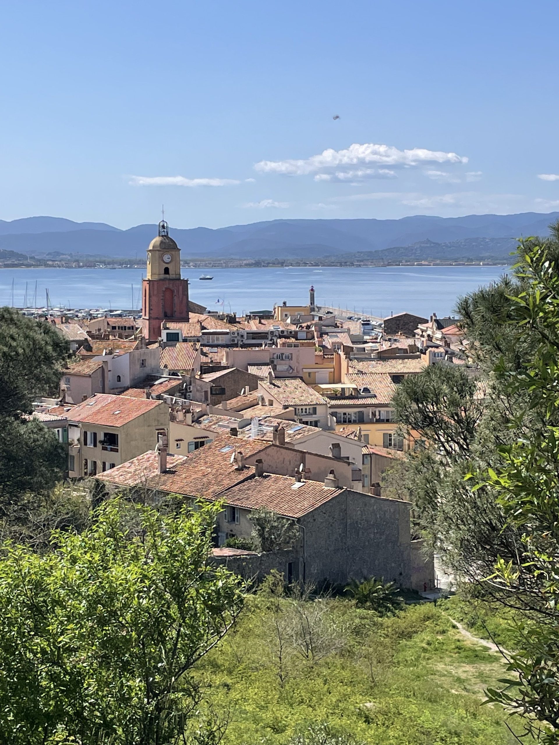
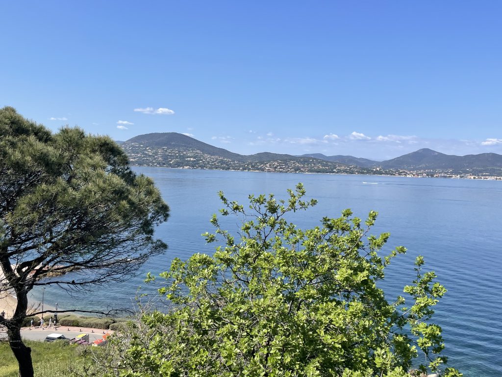
After lunch overlooking the marina, we strolled through the cobbled back streets, watched the men playing pétanque at Place des Lices and walked up to the citadel to take in the views. We were even treated to a sea plane training session with repeated landings and take offs.

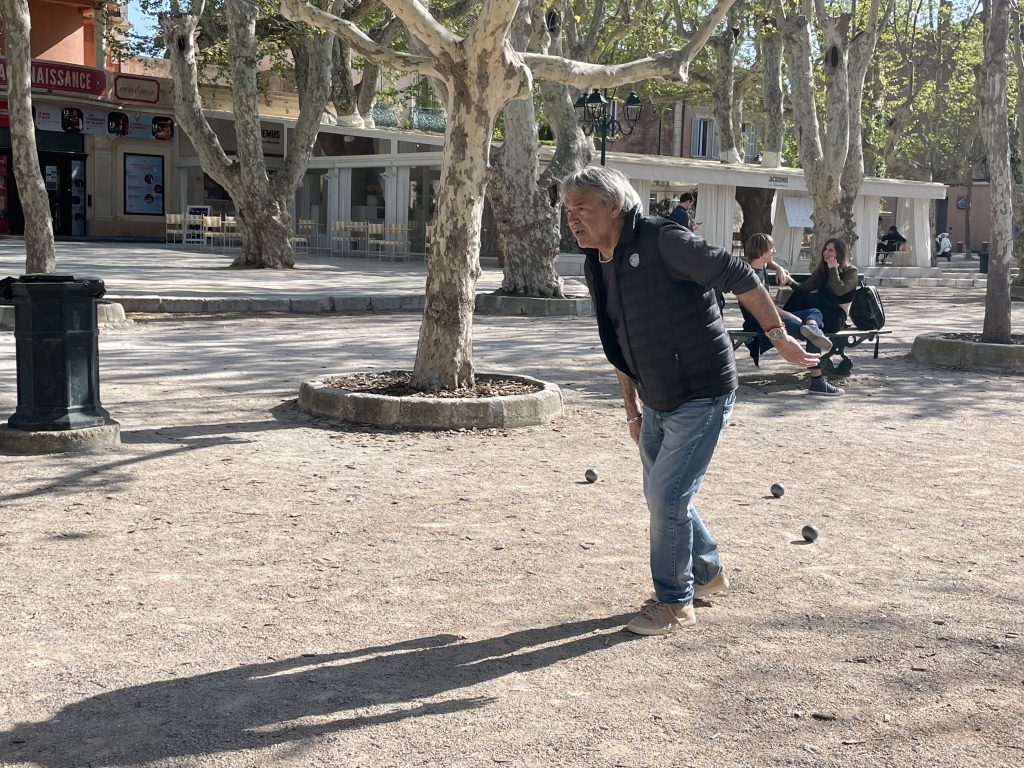
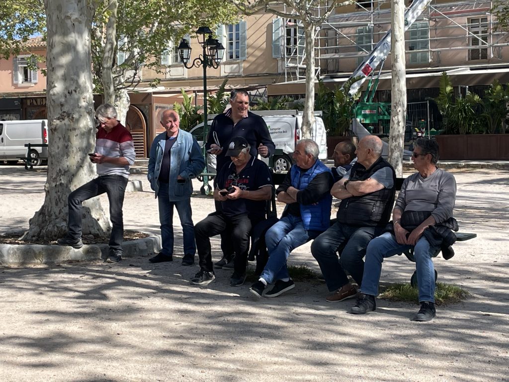

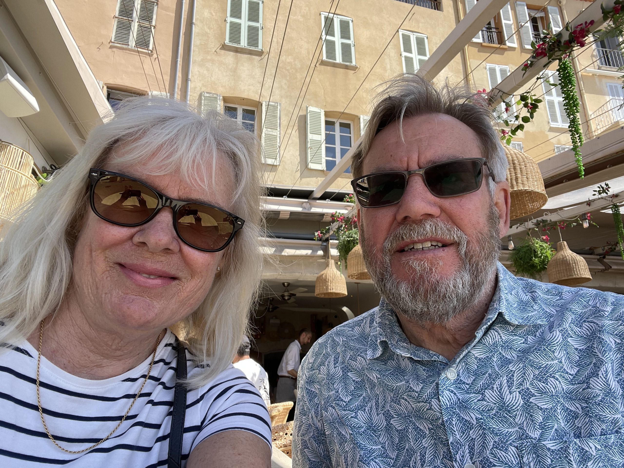
PORT GRIMAUD
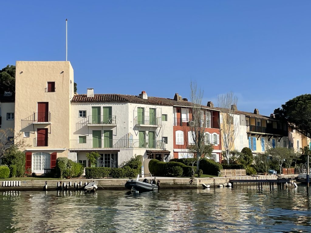
We took the return boat from St Tropez to Port Grimaud which was a village built in the 1960s, designed so that all houses had waterfront gardens/moorings for their boats. We pictured grand houses but in fact most of what we saw were modest terraced houses, but the waterside fronts gave them a prestigious feel. Only a few houses seemed occupied so presumably most were second homes.
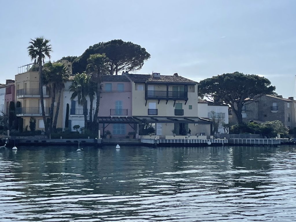
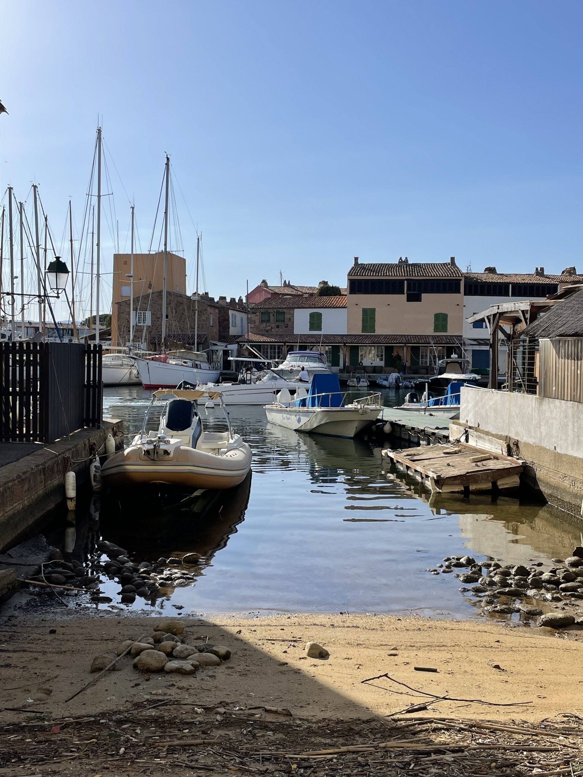
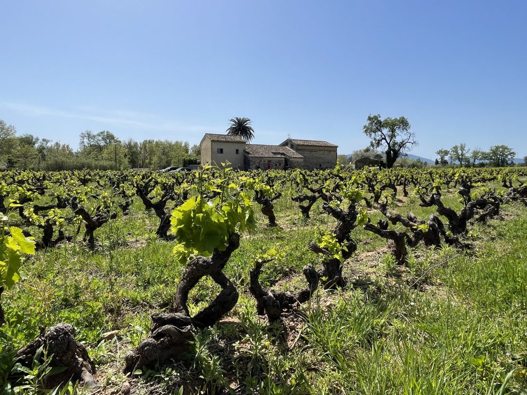
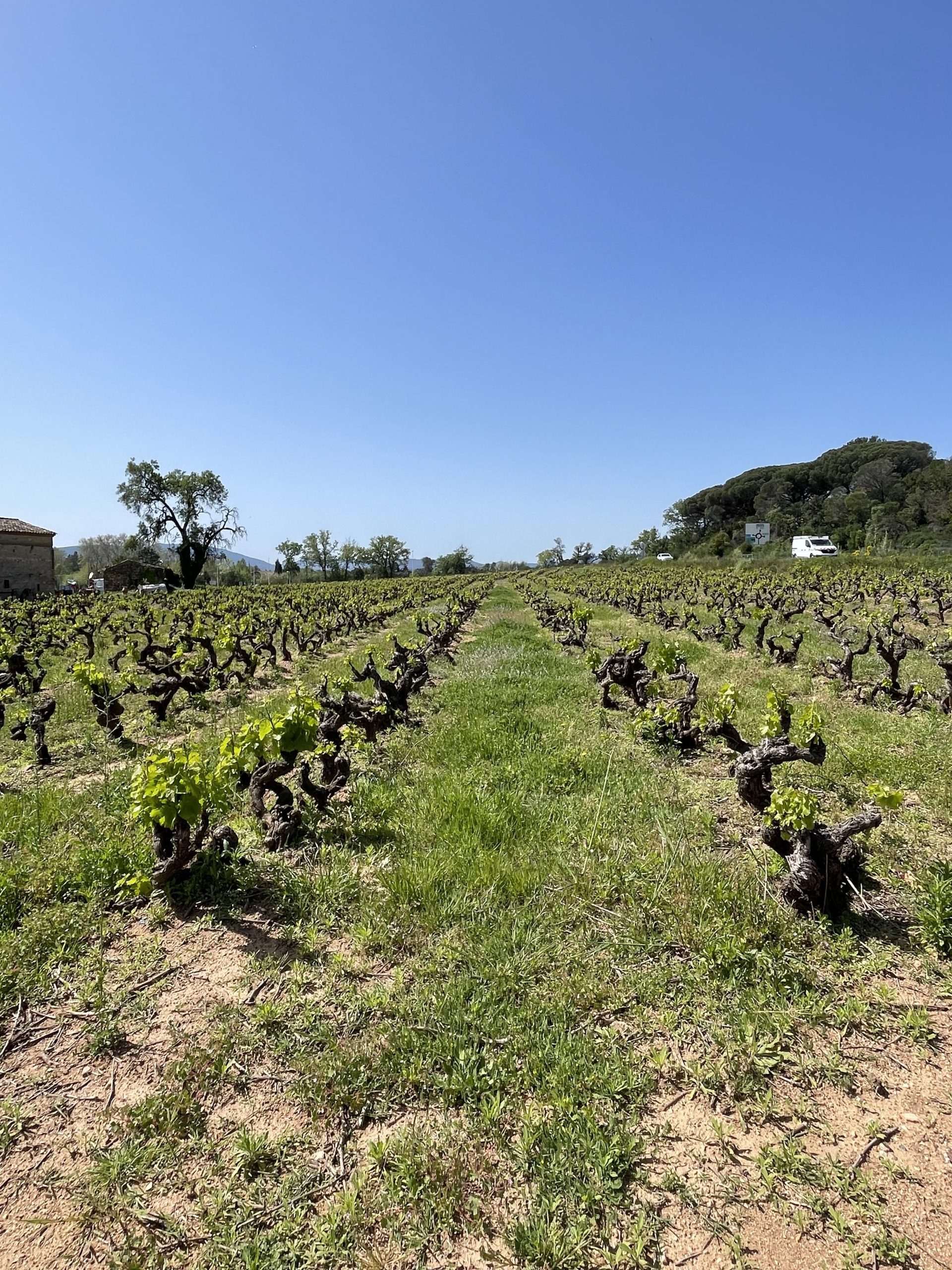
We were hoping to cycle south to the peninsula beyond St Tropez, but although there was a cycle route most of the way, there was a gap on a very busy roundabout which felt too unsafe to be on. Instead we cycled inland and uphill to Plan de La Tour. We had noticed that the air temperature was much warmer here and found it was a basin in the mountains. The vines looked more advanced here away from the sea breezes.
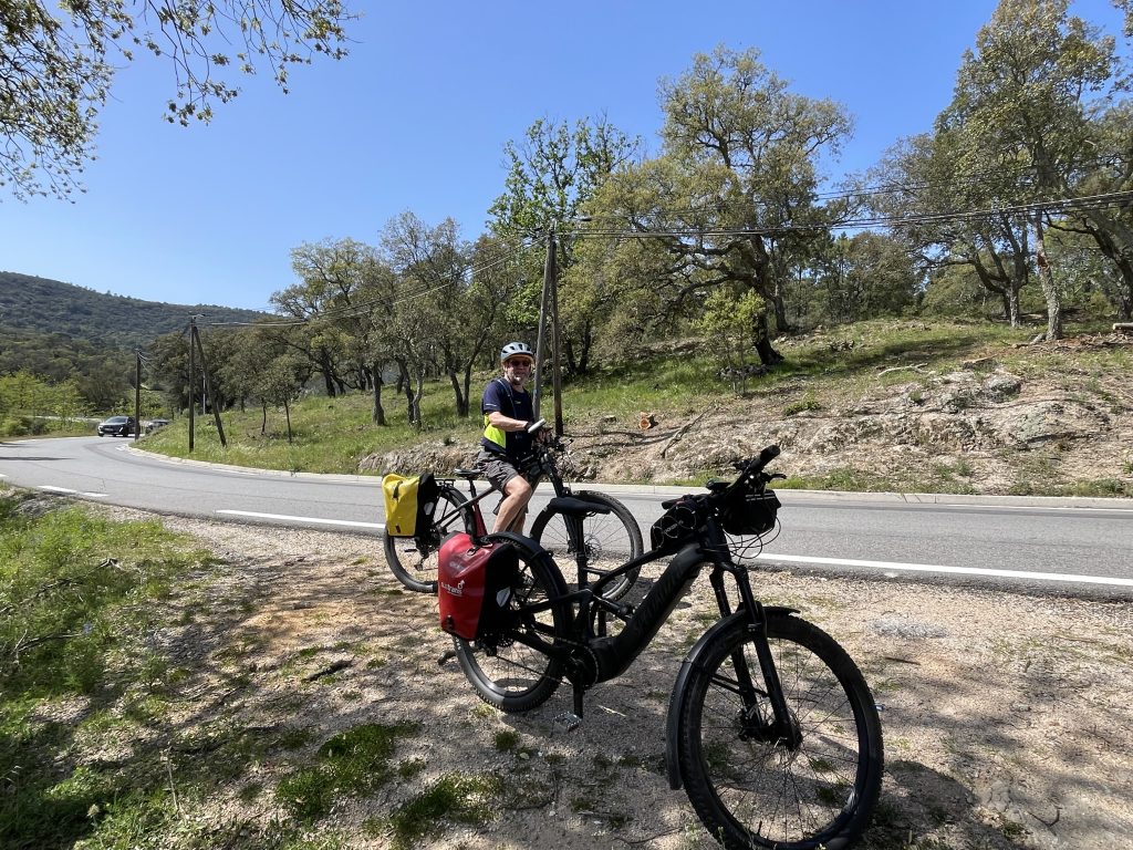
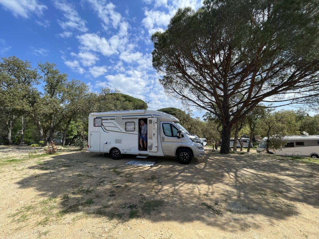
CORNICHE DE L’ESTEREL
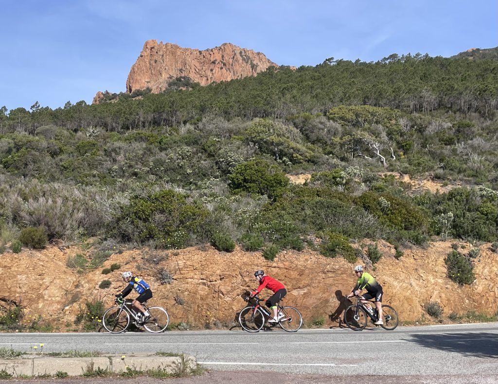
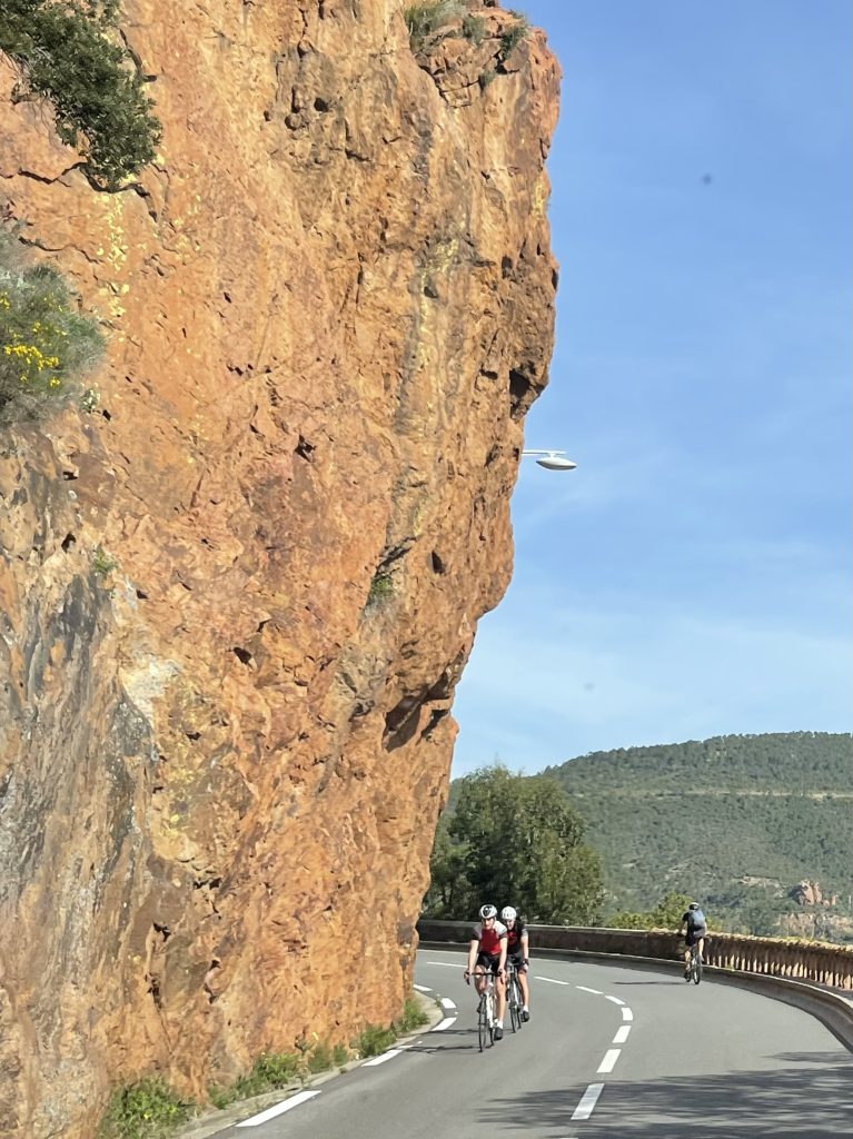
North-east of St Tropez, between Frejus and Cannes, is the Corniche de L’Esterel, where there are spectacular views of rugged red rock formations contrasting with the many coves of the sparkling blue Mediterranean. Mike swung the camper round the bends unable to take his eyes off the road for fear of running into the many cyclists out on their early morning spin.
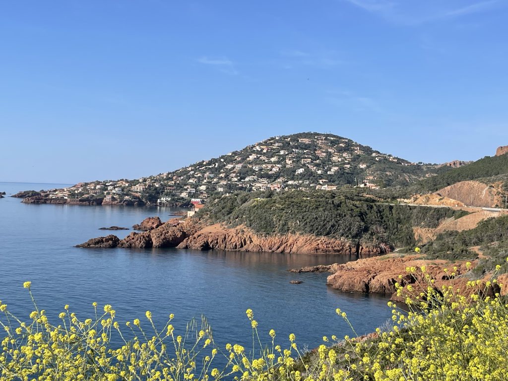
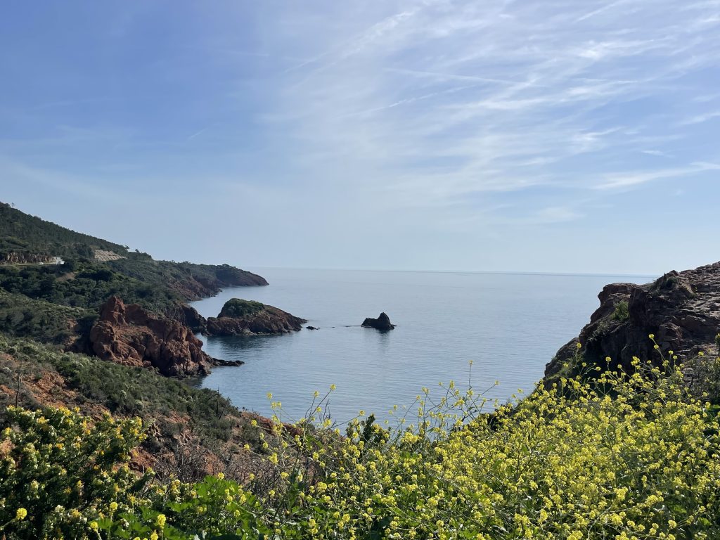
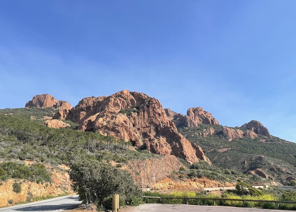
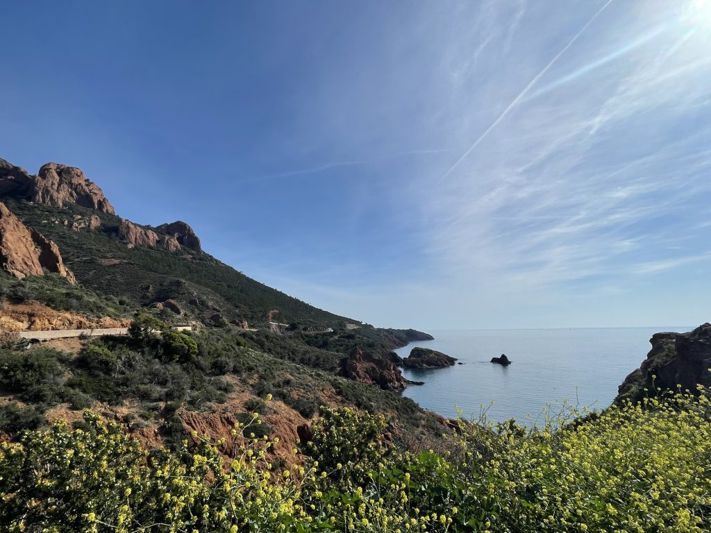
As we dropped down onto the road next to the sea at Theole-sue-Mer we caught our first glimpse of the snow covered Alps way off in the distance. It was breathtaking.
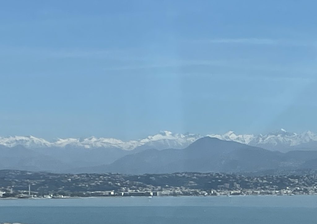
After the excitement of the Corniche and the view of the Alps, glamorous Cannes didn’t have the appeal we were expecting. Designer shops, one after another, lined one side of the busy main road and an artificial beach on the other, it seemed soulless to us, so we didn’t stop.
ANTIBES
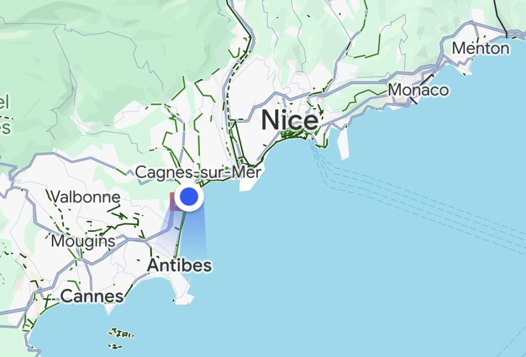
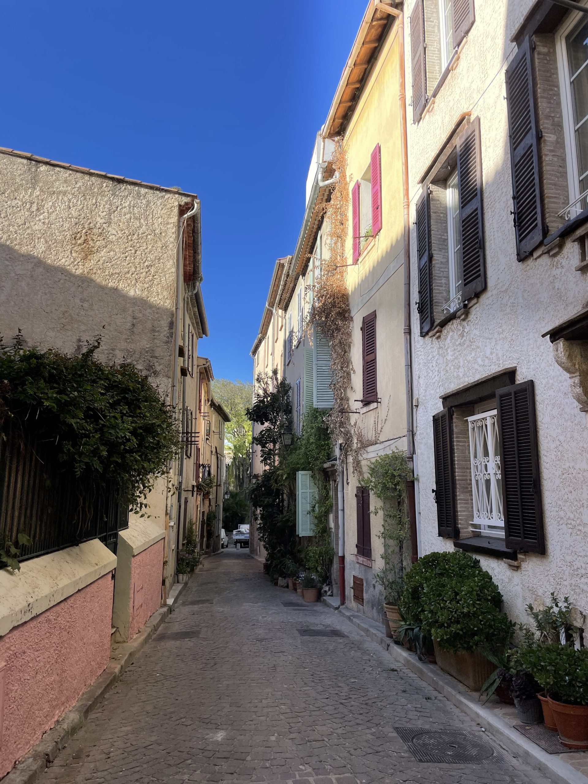
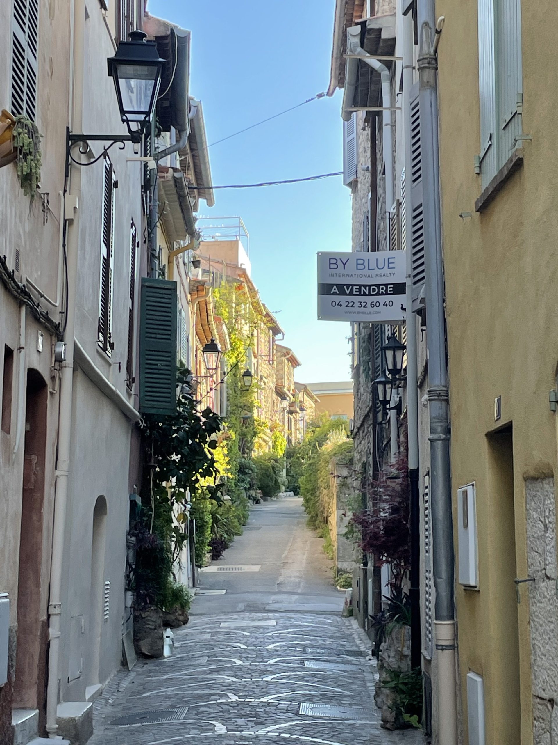
Home of Picasso, with the largest marina in the Mediterranean, we expected more from Antibes than we found. Whereas St Tropez had retained its je ne sais quoi, sadly Antibes seemed to have lost it. The vieille ville was tourist shop, tourist restaurant, repeat; although the quieter alleyways looked and felt more authentic. However, there were more ‘a vendre’ signs outside the houses than we had noticed elsewhere.
The marina was indeed vast, but after the first 20 or so shiny white, navy or black colossus of fibreglass the wow factor evaporated. We realised we prefer old fishing boats to gin palaces.
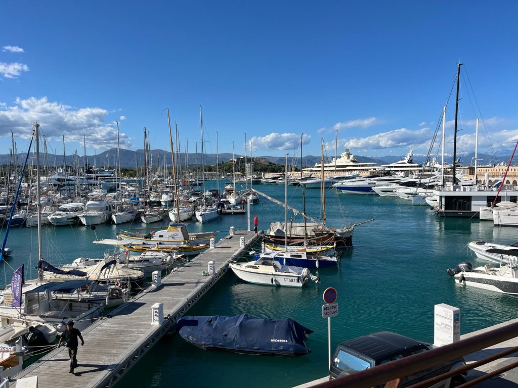
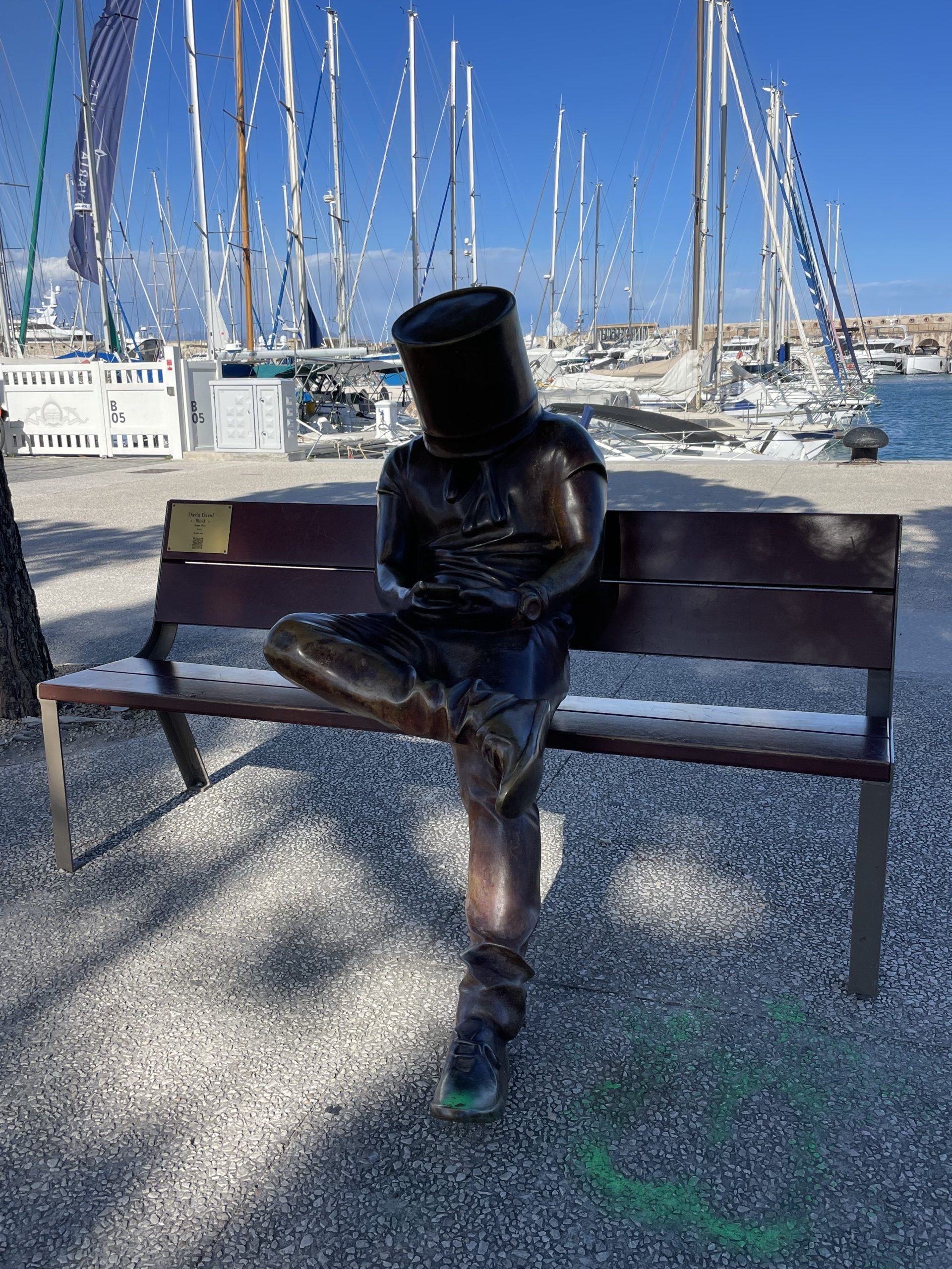
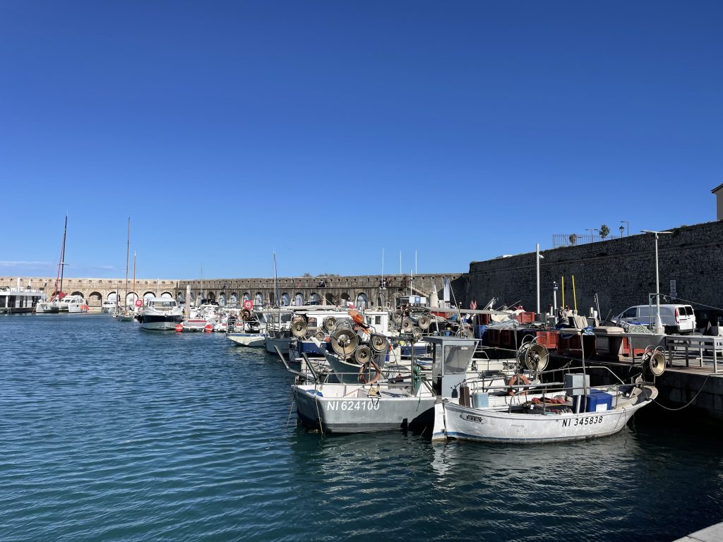
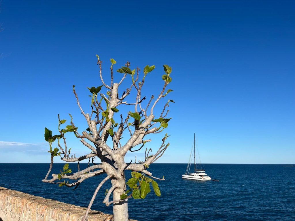
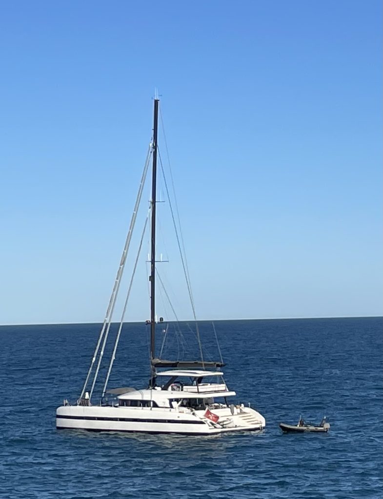
We spotted something exciting happening as a police RIB sped out to a catamaran displaying a Maltese flag anchored in a bay, four men boarded and proceeded to search the boat, ripping up seats in the process.
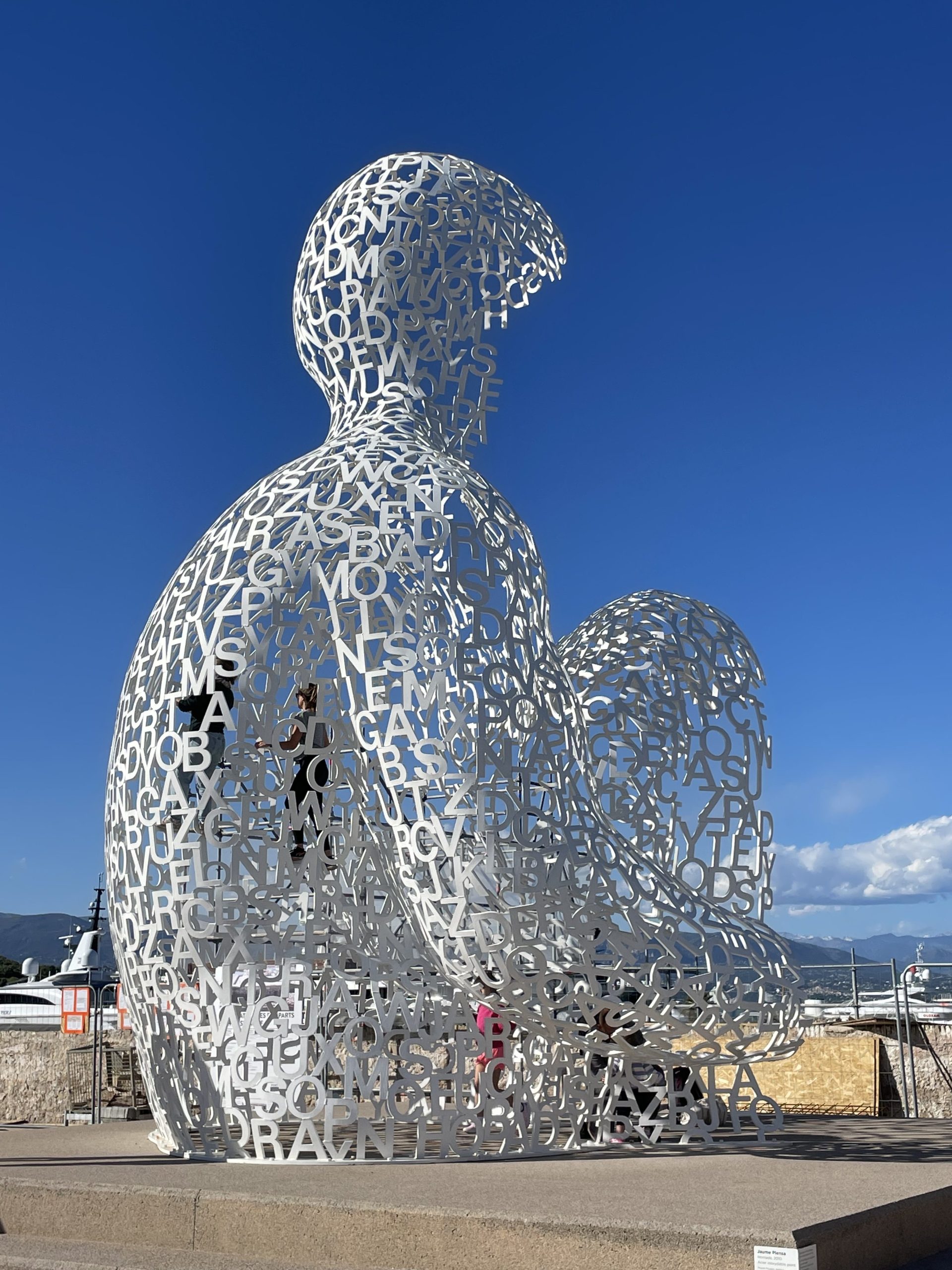
At the end of the harbour arm was a huge sculpture made up of letters of the alphabet in the shape of a man sitting looking out to sea.
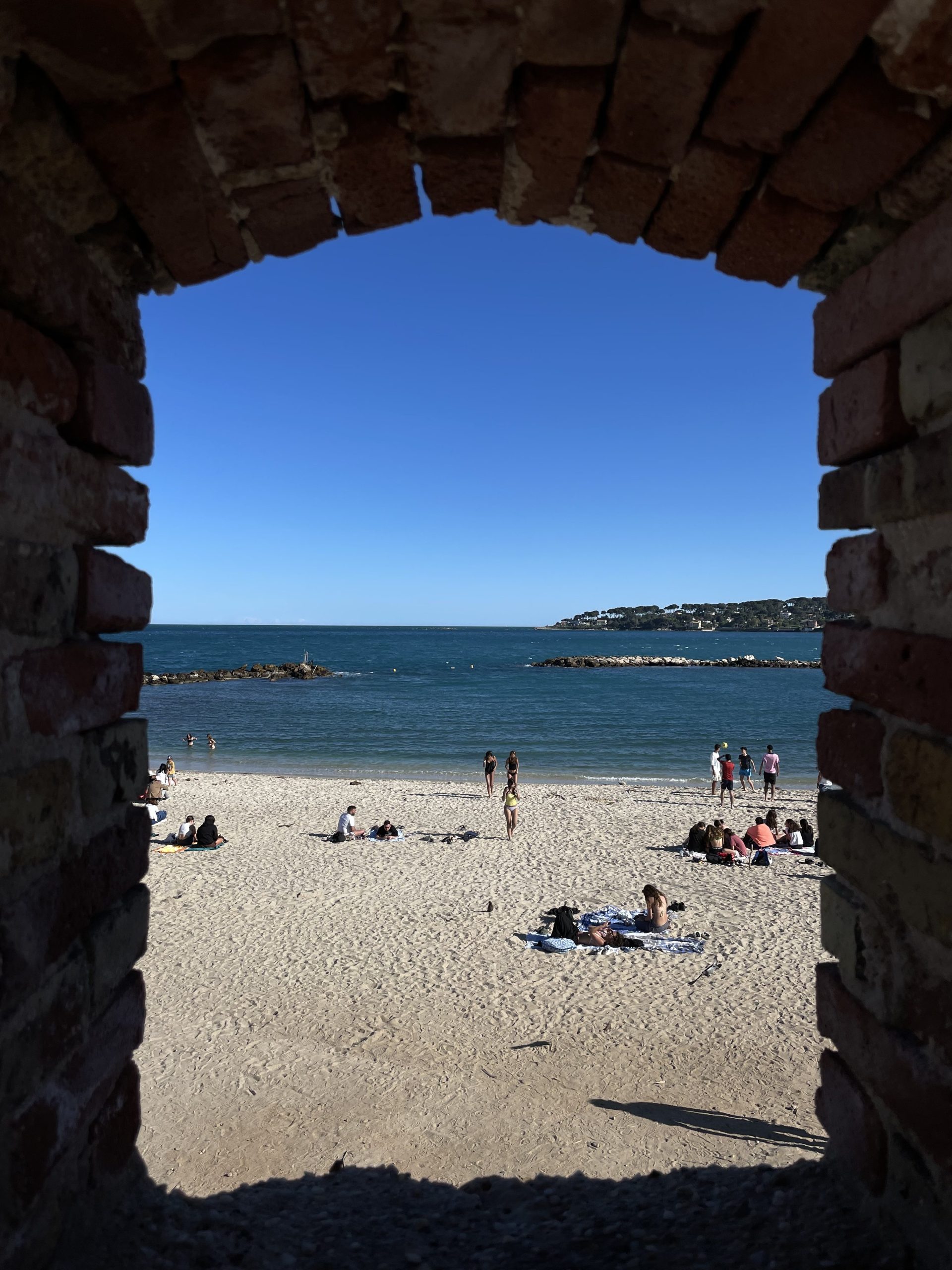
The beaches looked inviting.
VILLENEUVE-LOUBET PLAGE
Our campsite De L’Hippodrome, five miles north of Antibes, was a small well laid out site with heated pool, where some elderly people were staying long term in their campers, and who could blame them – a piece of the Côte d’Azur for €27 a night. A walk along the boardwalk on the beach to cafes, restaurants and another marina. A huge pyramid of apartments overlooked the marina, it looked like a smoking volcano.Then another pyramid – Giza-on-Sea.
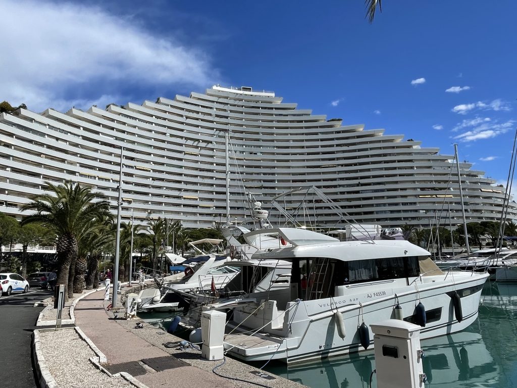
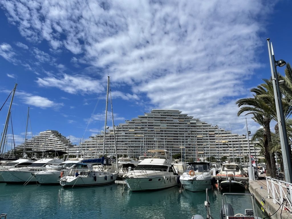
The last couple of photos were taken not long before a hailstorm when temperatures fell 15 degrees in as many minutes.
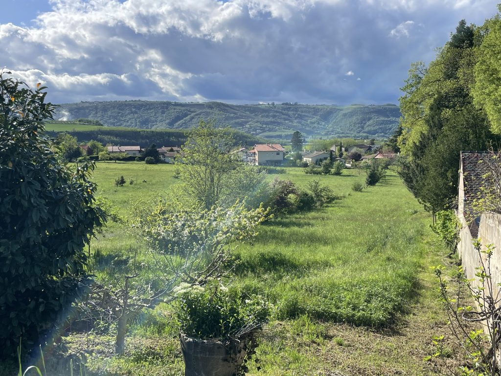
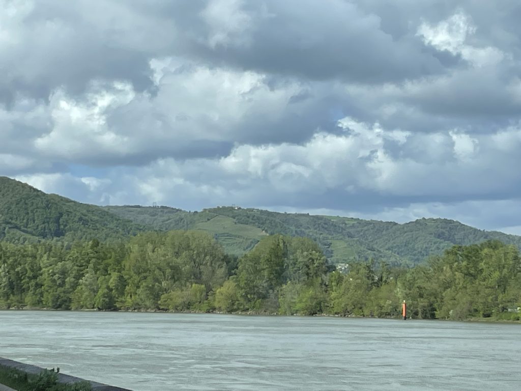
As the weather in the Alsace returned to normal April temperatures we decided to head south. The rain and high winds made our progress slow, so we stopped overnight just south of Lyon at a small village called Beausemblant, where there was another free Aire, probably the most beautiful one we have stayed in, with far-reaching views towards the Ardeche mountains on the other side of the Rhone river. We strolled around the village, found a bakery with four different types of baguette and wandered up the hill behind the Aire to find the village pond where we relaxed in the warm sunshine.

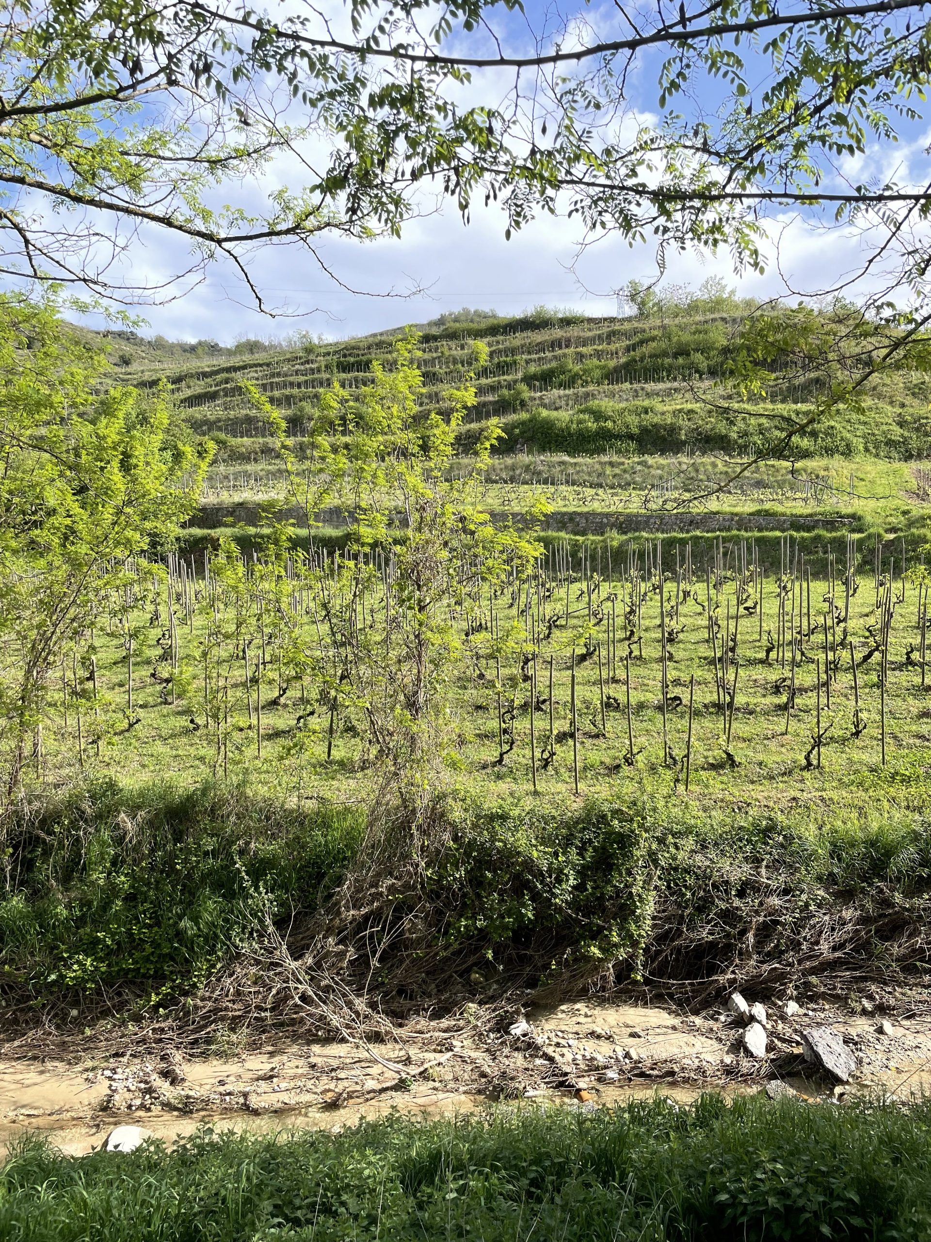
CROZES-HERMITAGE
Vineyards line the banks of the Rhone for over 100 miles producing deep reds and spicy whites as well as roses. One of Penny’s favourites is Crozes-Hermitage, which was almost next door to where we stayed overnight. It’s a full-bodied red made from Syrah grapes.

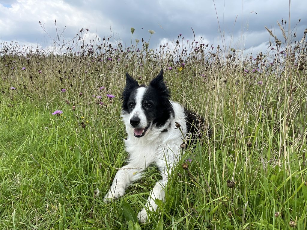
A whole year without venturing outside the UK, unheard of for us! The past 12 months have been spent looking out for the three nonagenarians – Penny’s Mum, Dad and Auntie (92, 95 & 99 yrs ) and Mike getting a Rheumatoid Arthritis diagnosis and associated ongoing treatment. This was interspersed with Jessie our collie dying in August, then Dad having a stroke and Auntie moving to a care home in December.
With everything a bit more stable now, we have escaped for a month to France in our camper. We’ve no particular plan in mind other than choosing the warmest places where we can explore on our bikes and take in the scenery and fresh air.
CHAMPAGNE
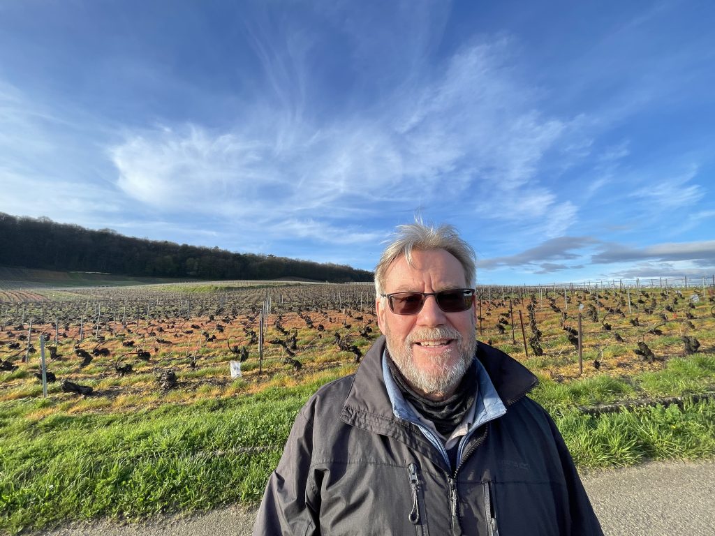
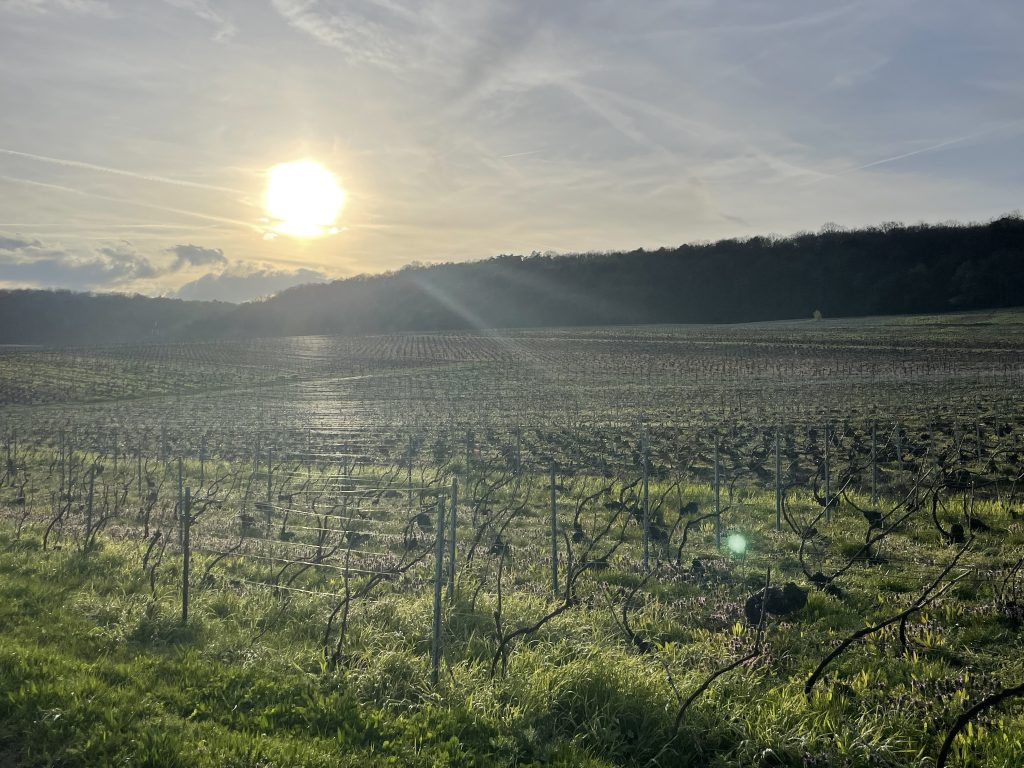
On 3 April 2024 we set off through Le Tunnel and drove directly to the Champagne region. We chose a village called Trepail on a hilltop surrounded by vineyards for our first stop. It was chilly but sunny and a walk amongst the vines showed they were still dormant.
ALSACE
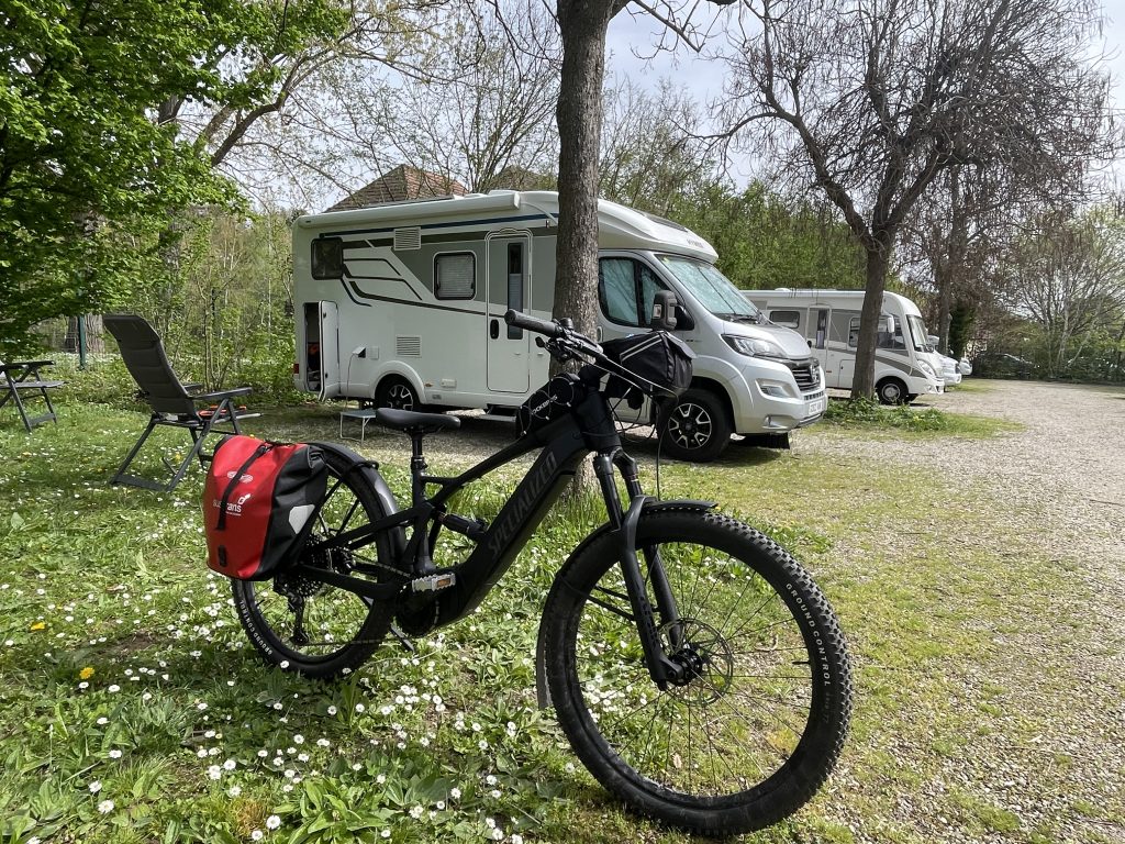
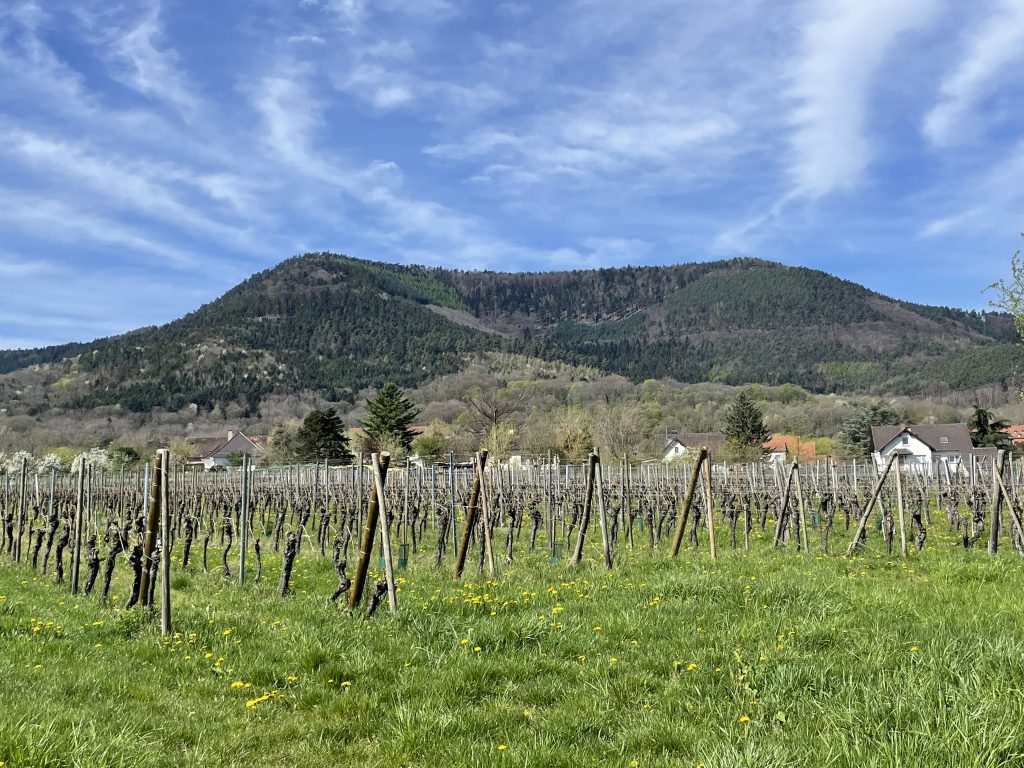
Using the Ventusky App we discovered that the Alsace region was forecast to have exceptionally warm weather over the next few days, so we headed there and found a campsite at Obernai which was perfect – flat, mountains in the distance, secluded pitches, hot showers, friendly staff, just outside an historic village with cycle routes abound through vineyards, all for €20 a night. Perfect.
https://www.camping-obernai.fr/
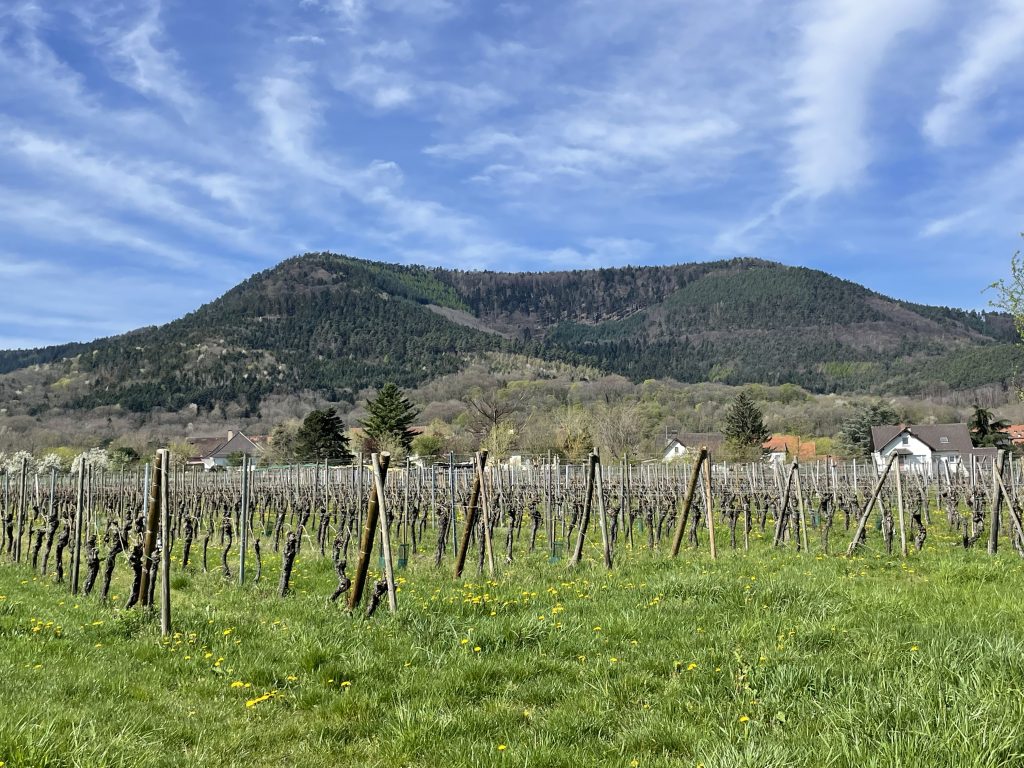
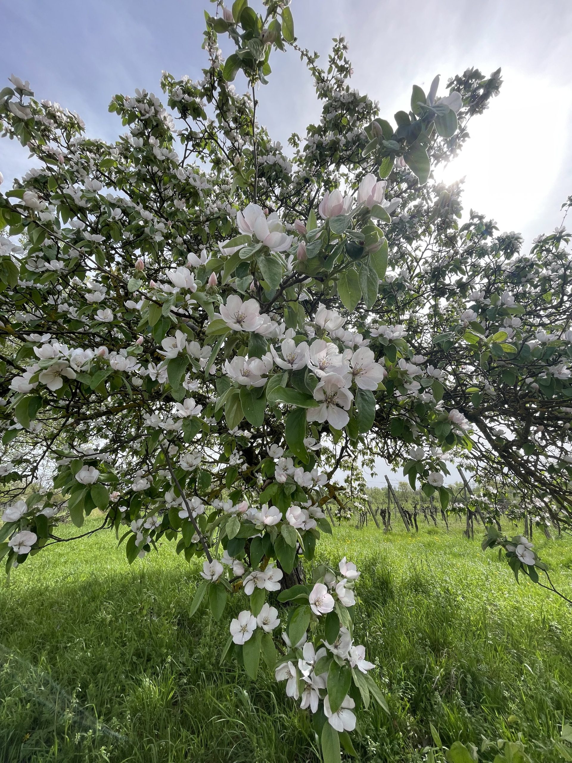
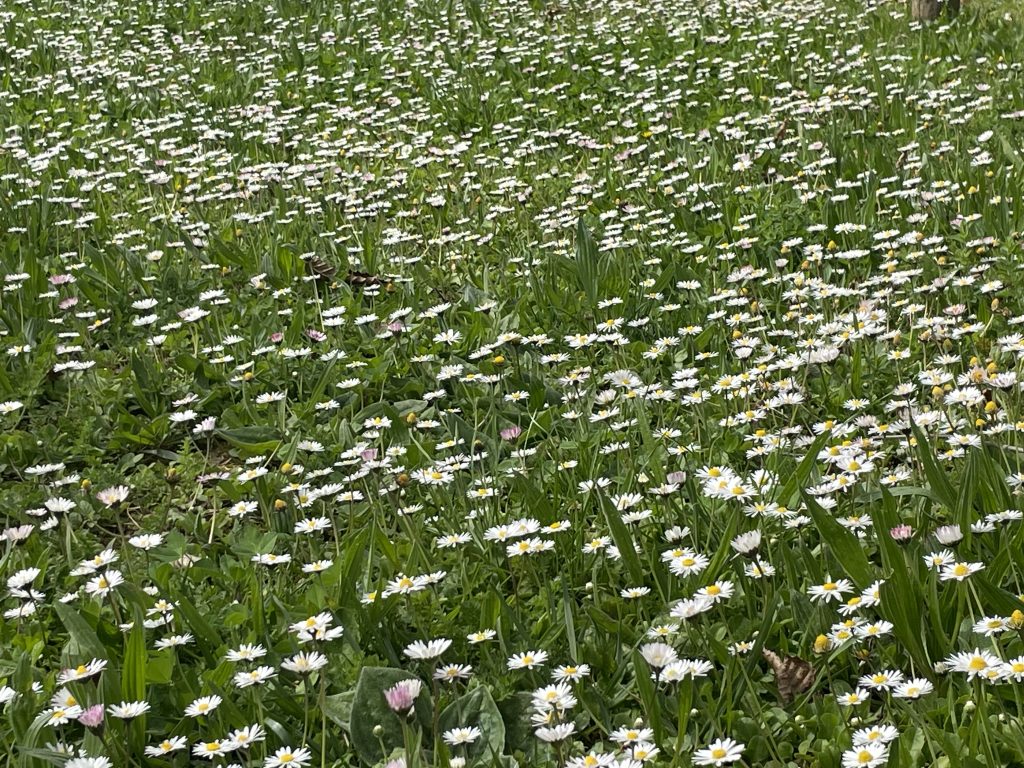
The warmer weather had enticed the vines to shoot and the blossom to burst, fields of daisies and long thick grass was everywhere.
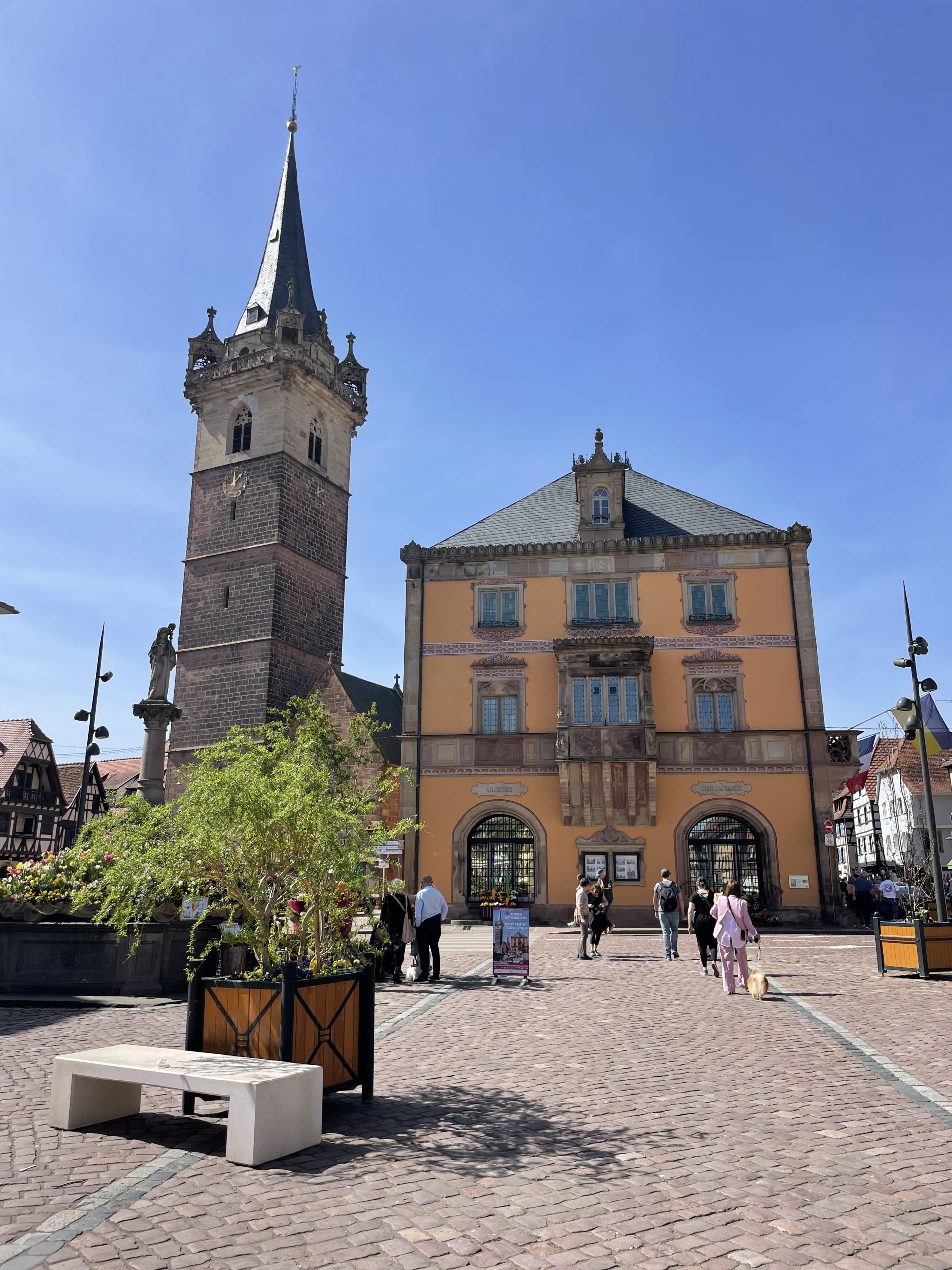
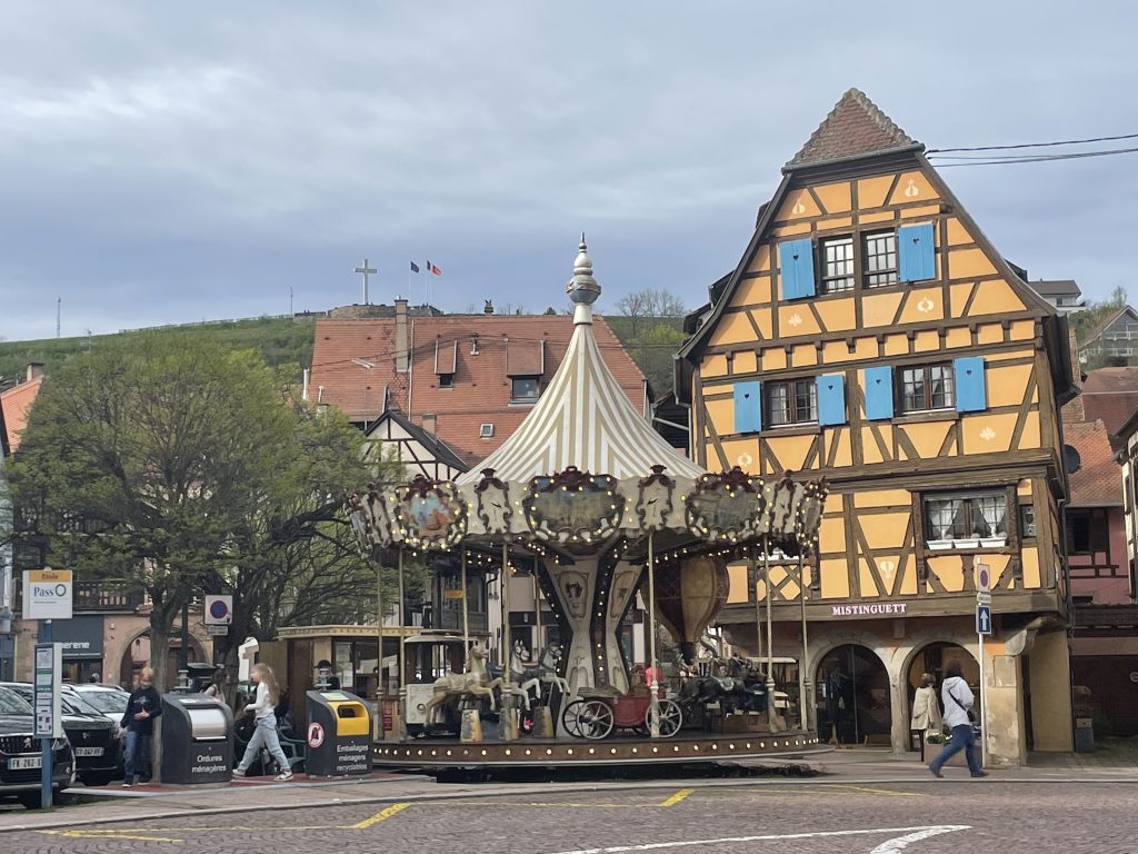
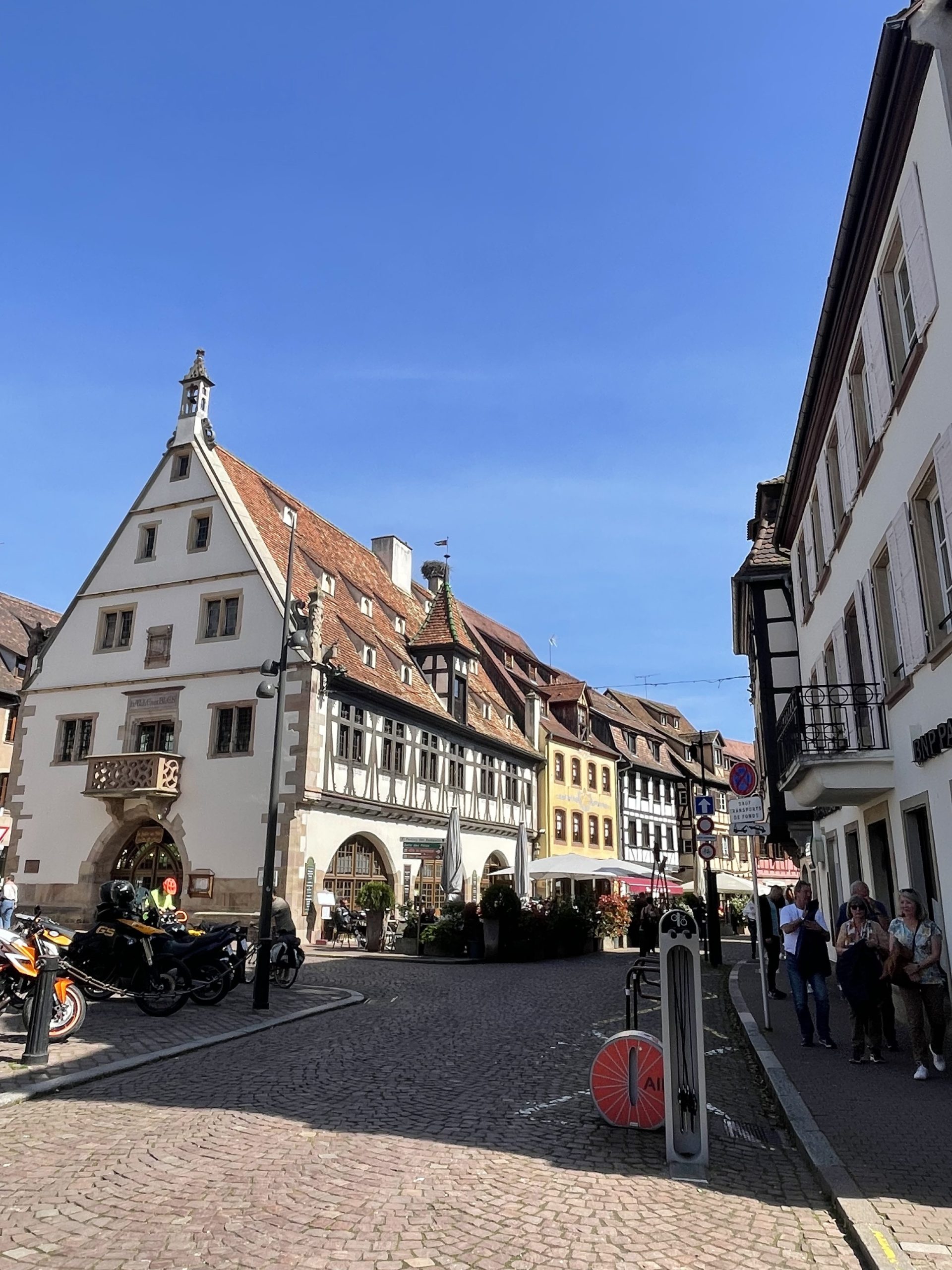
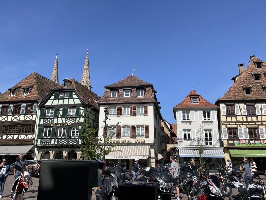
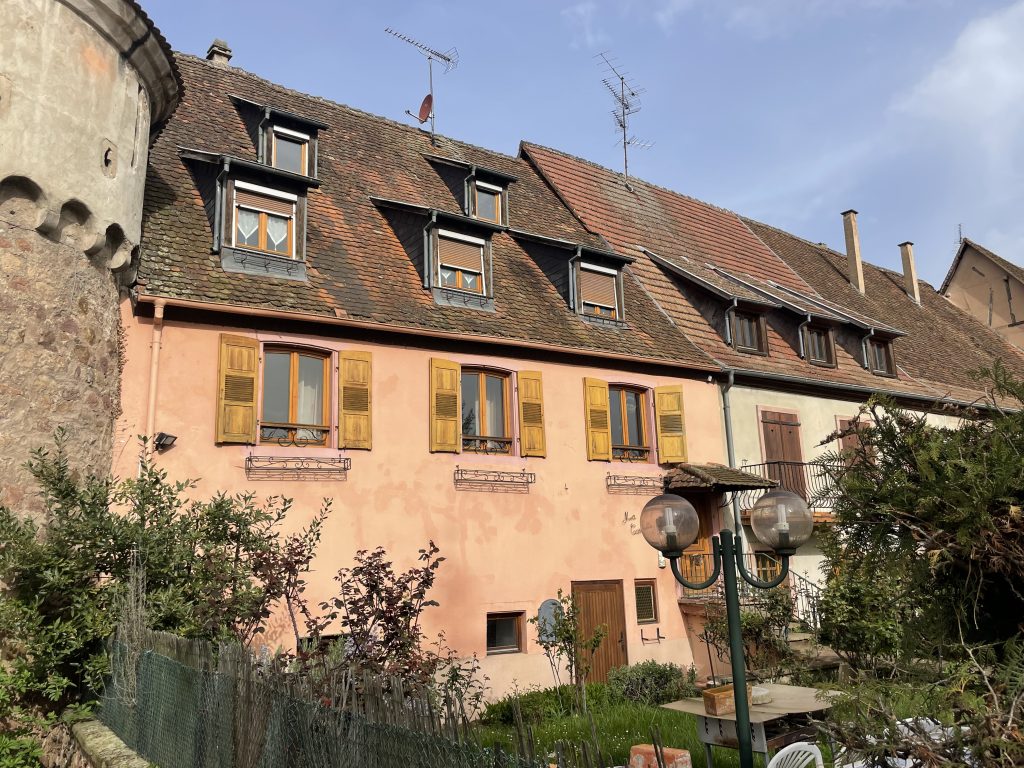
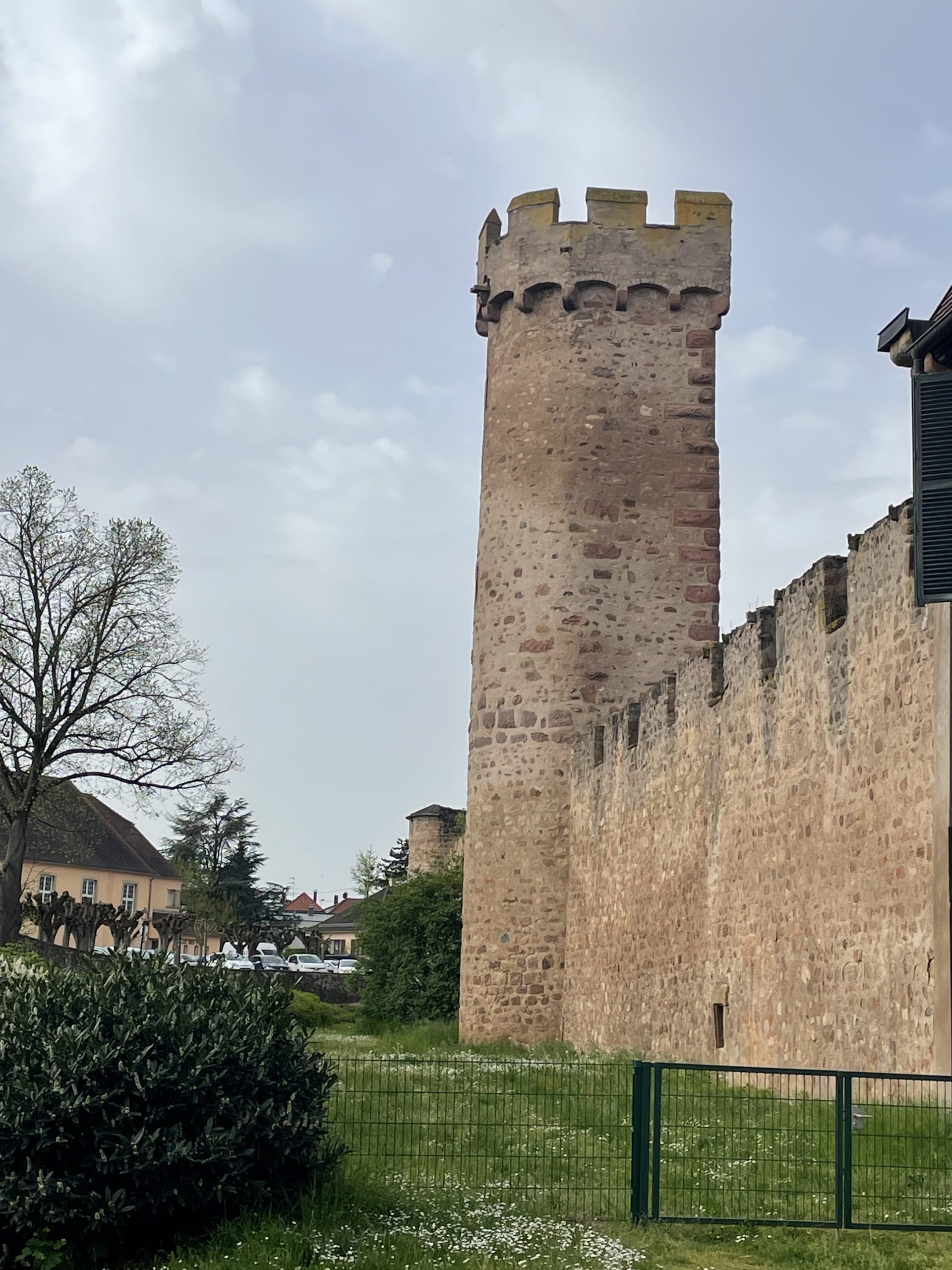
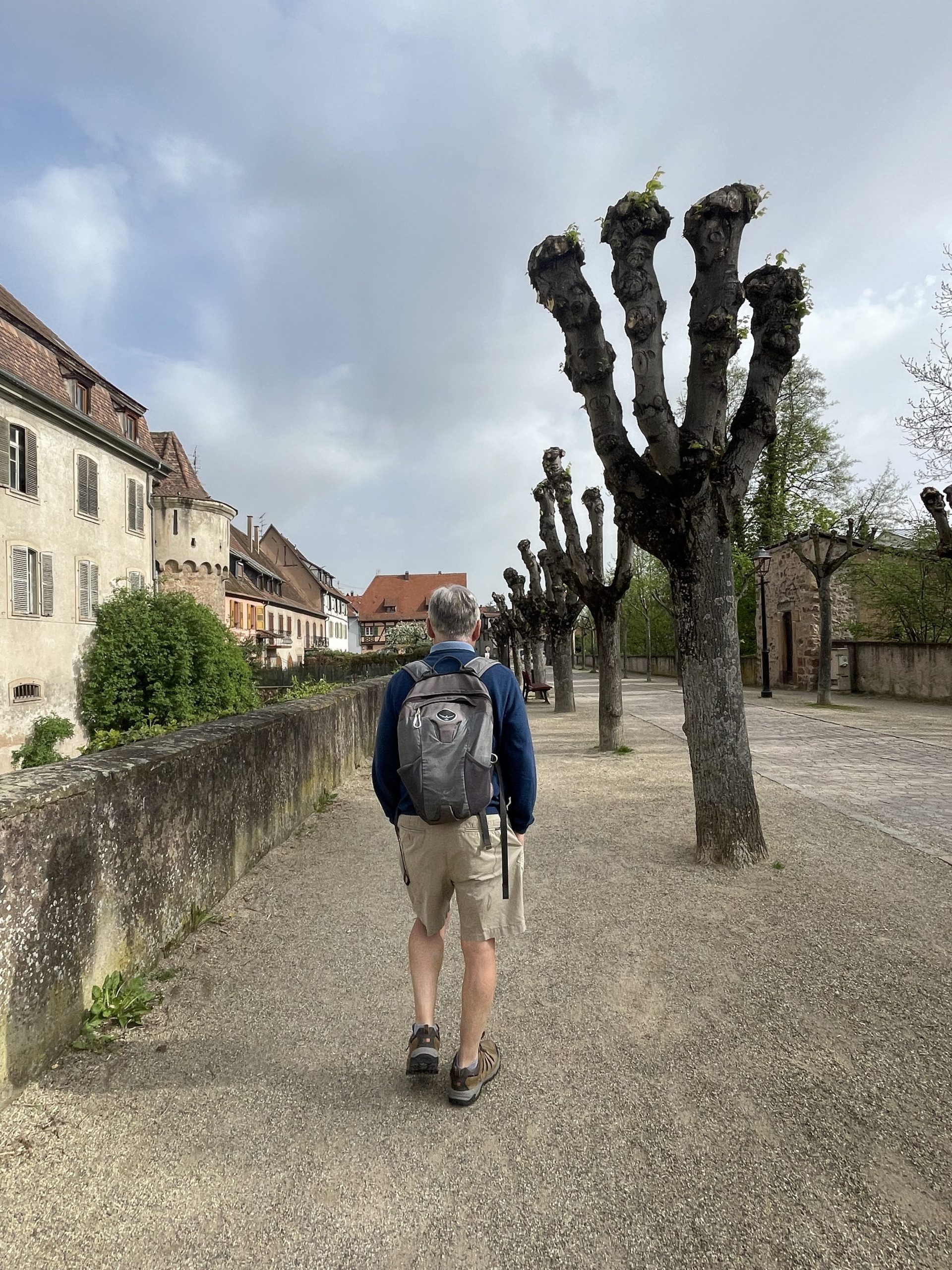
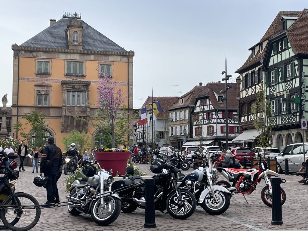
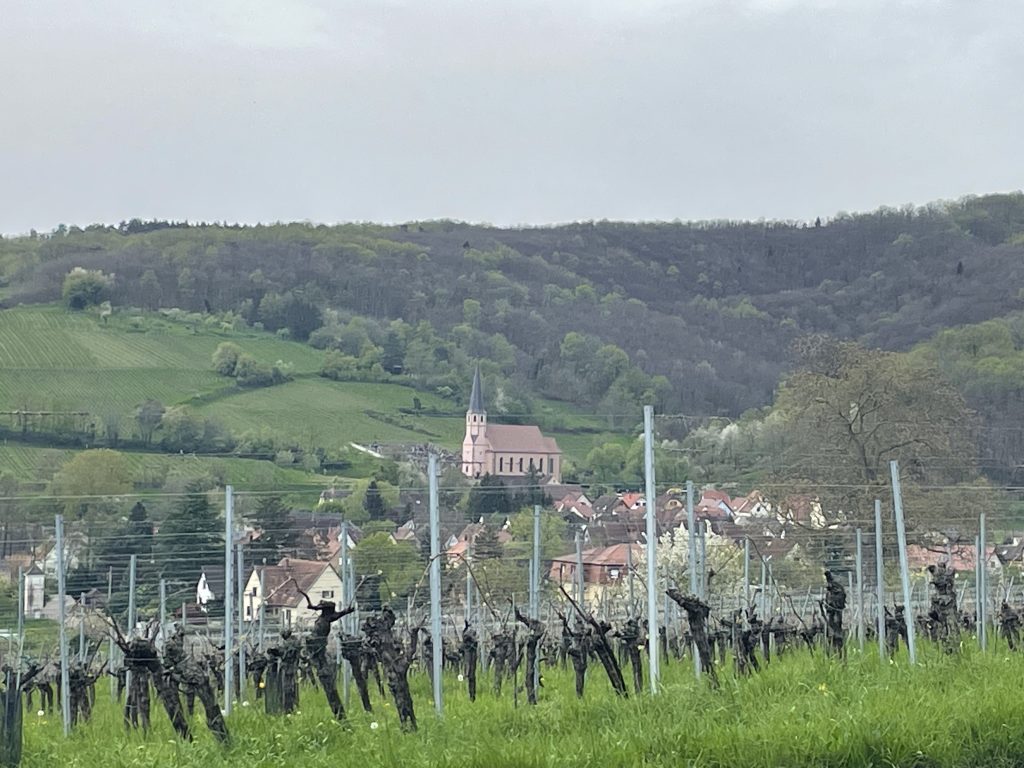
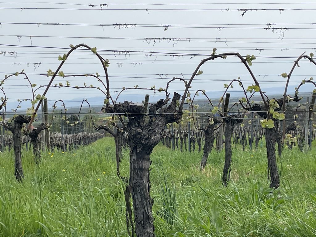
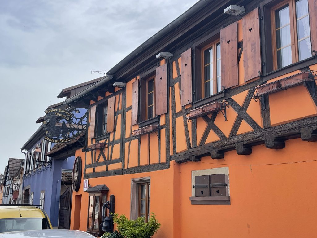
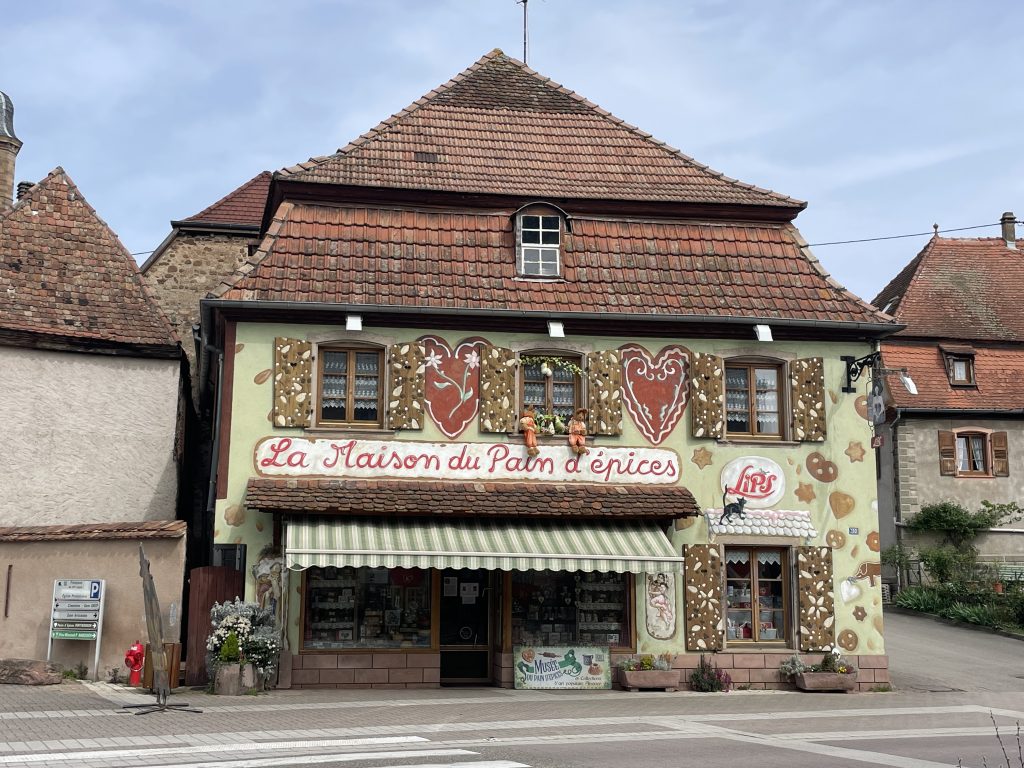
Cycling along the wine route took us through small ancient villages with brightly coloured houses and windows decorated for Easter aux Hansel and Gretal.

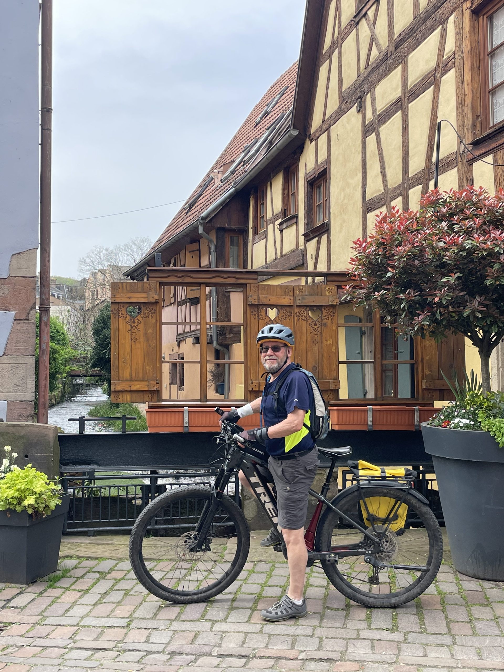
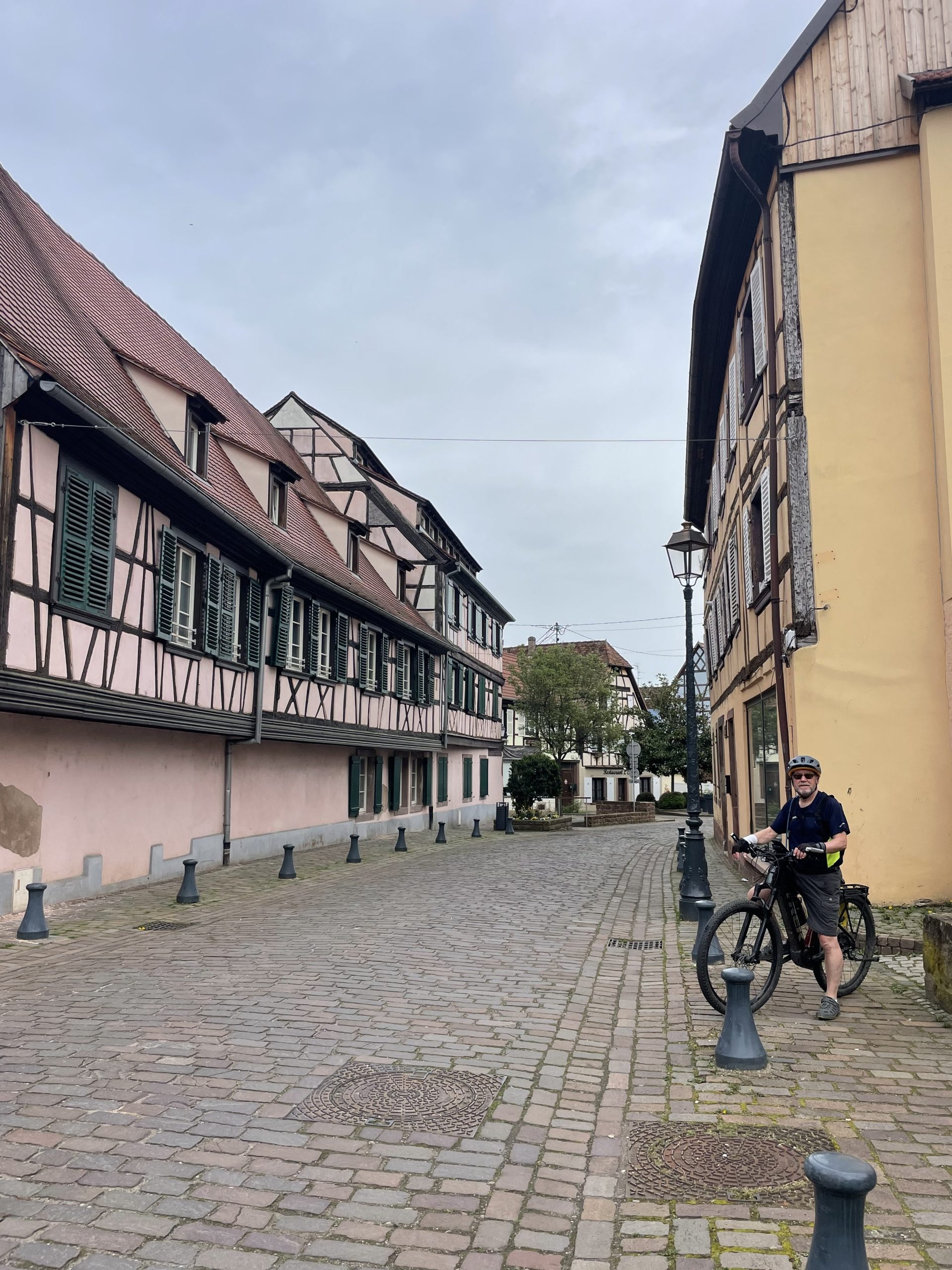
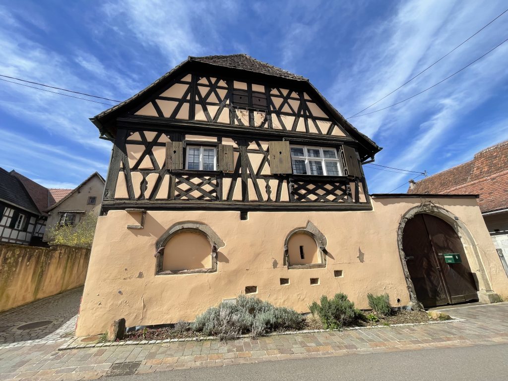
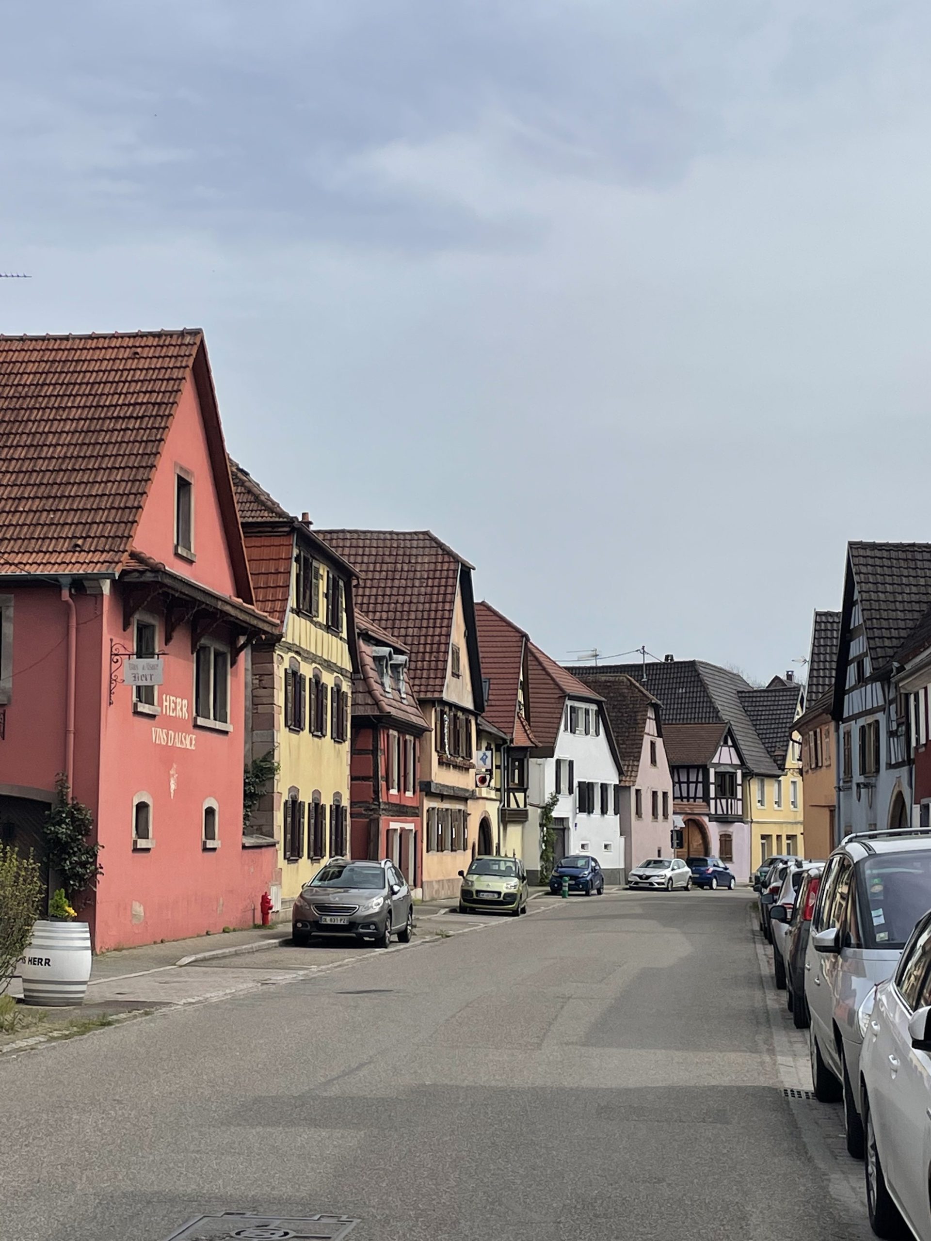
Unlike other regions in France, the wines are named after the grape variety – Pinot Noir, Riesling, Gewürztraminer – Penny’s favourite.
The Alsace region, bordering Germany in the east where the Rhein is the frontier, has been annexed by Germany several times over the past few centuries. It was part of Germany during WWII, during which time the Jewish population was despatched to the safety of southwest France. We met an 84 year old man, formerly the Mayor of a village we cycled through, who spent the first 5 years of his life in the cellar of his home, where his family hid from the Nazis.
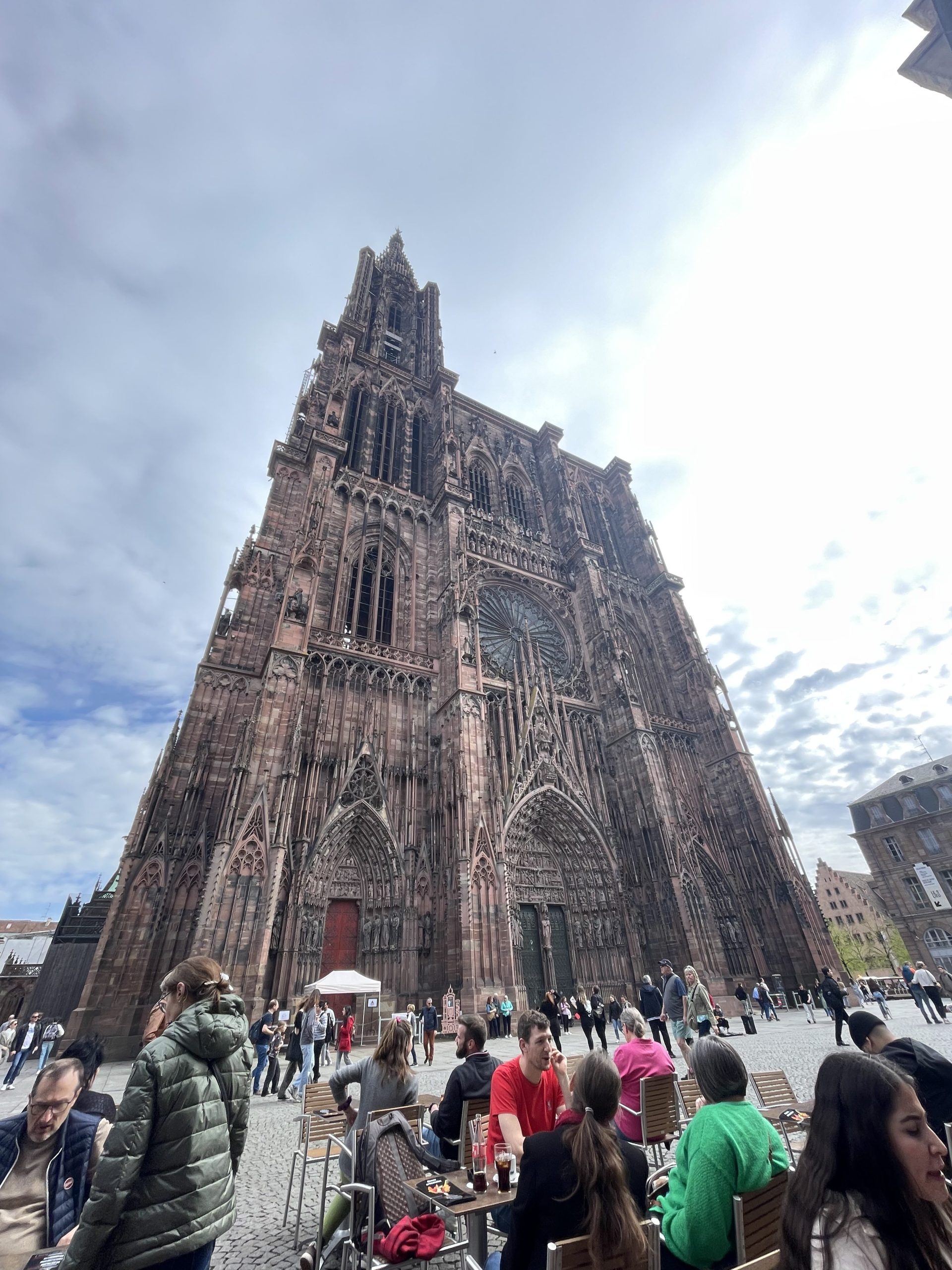
STRASBOURG
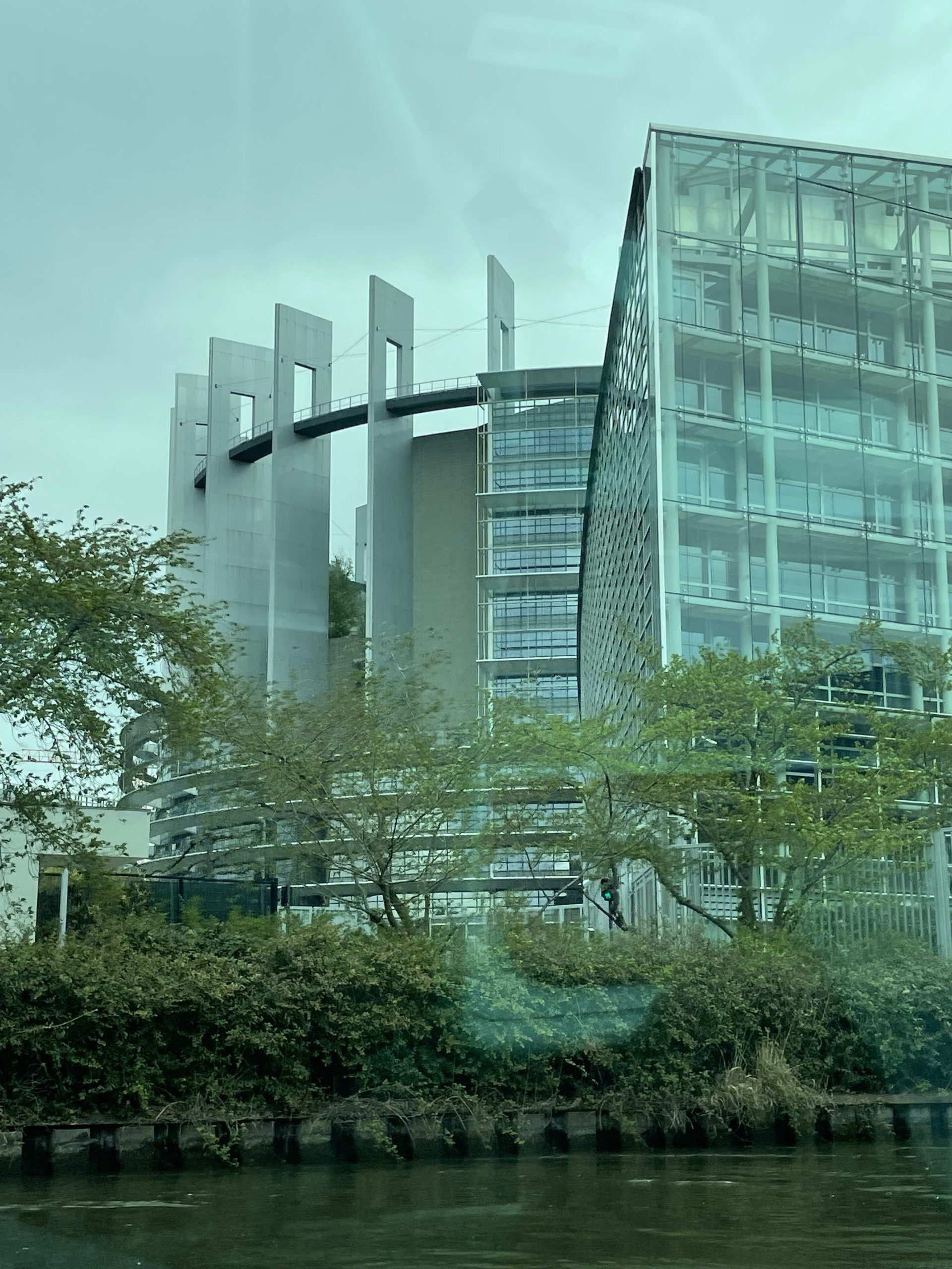
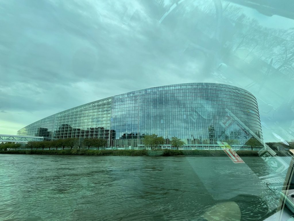
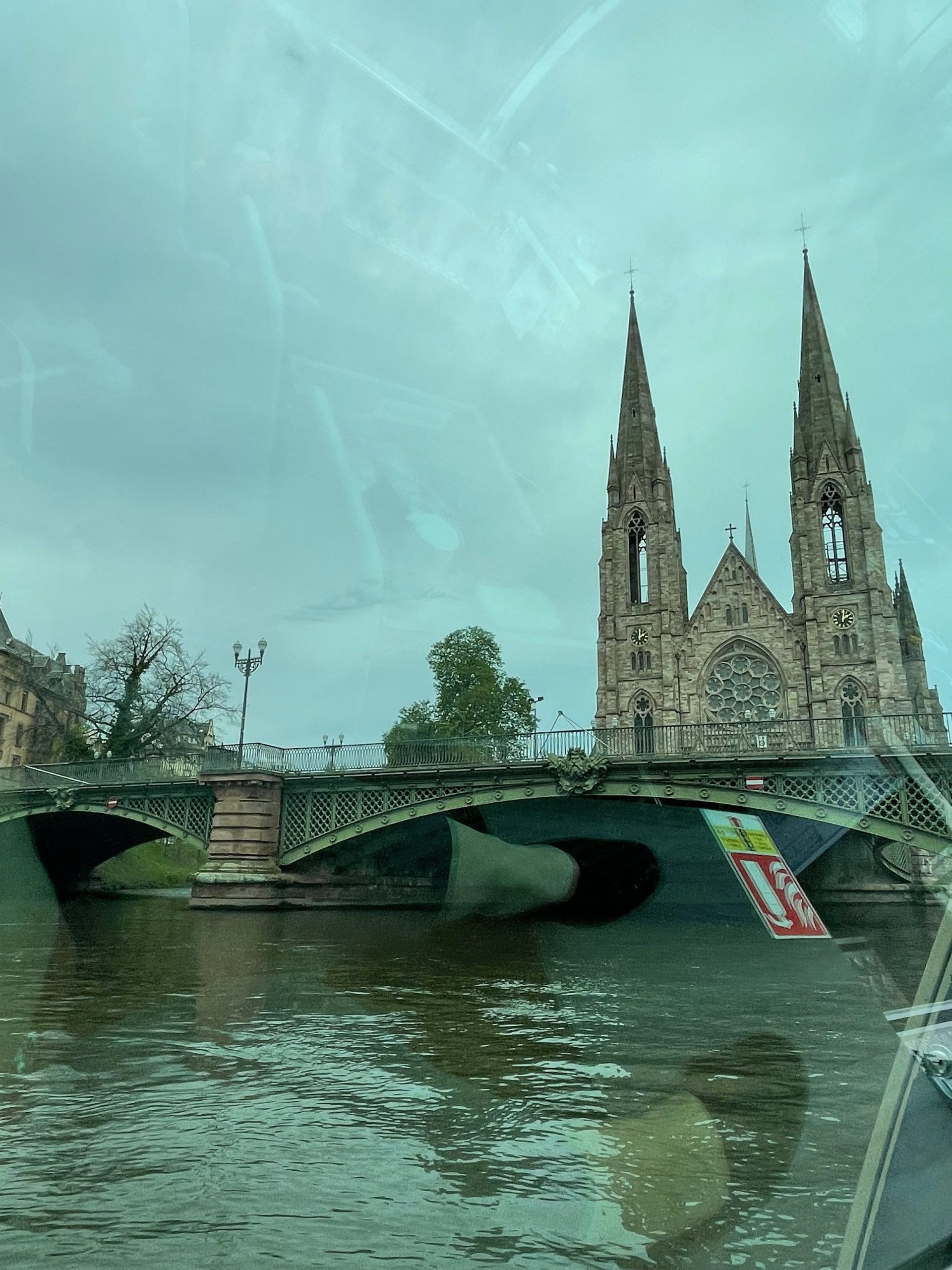
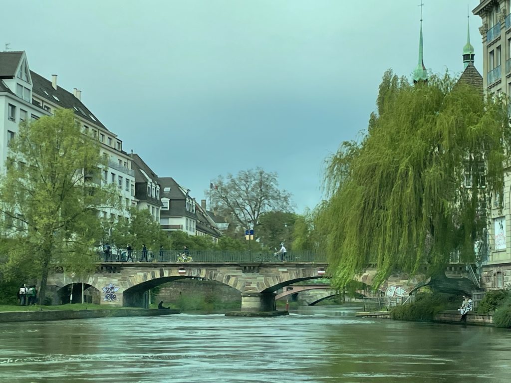
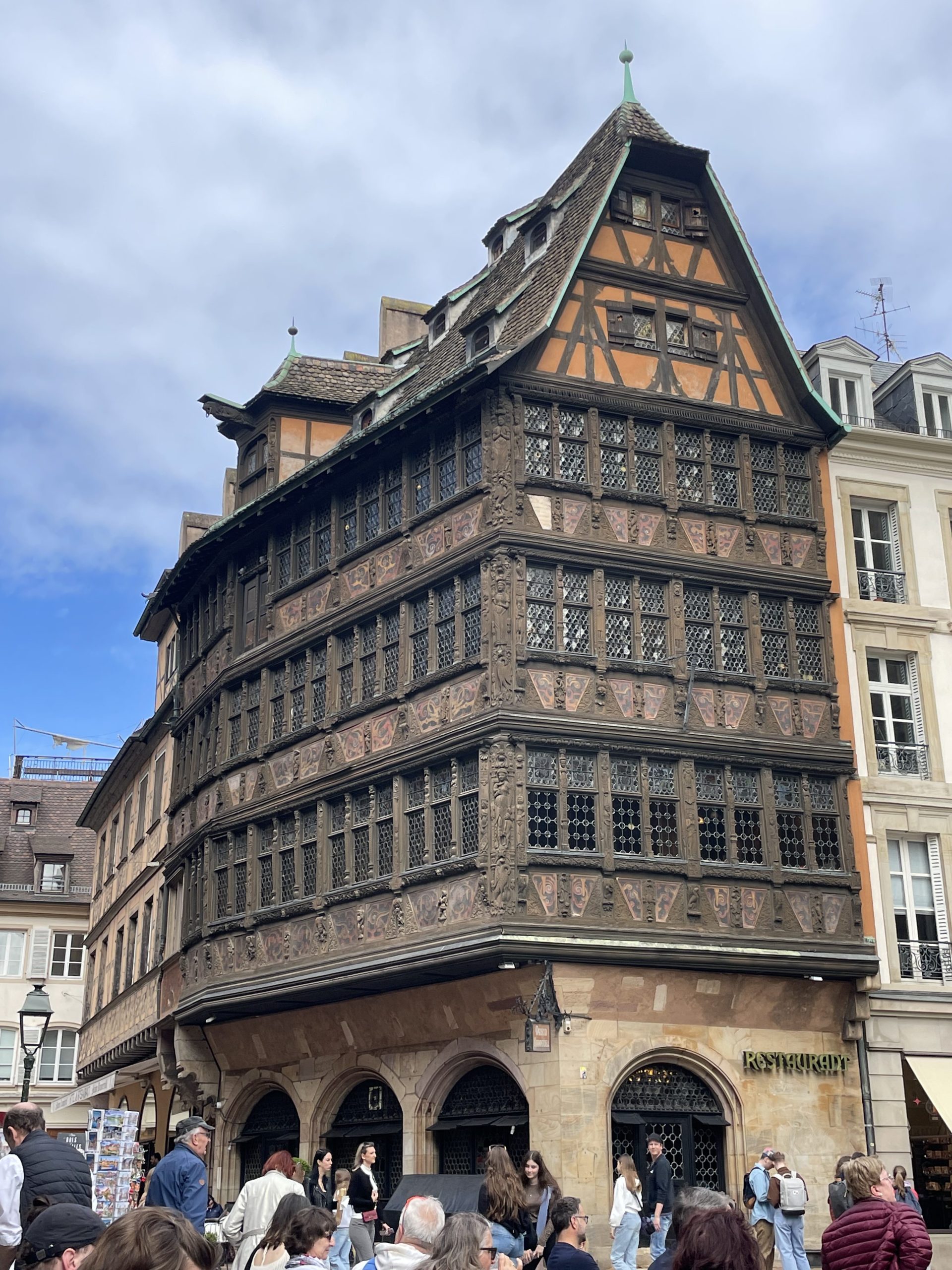
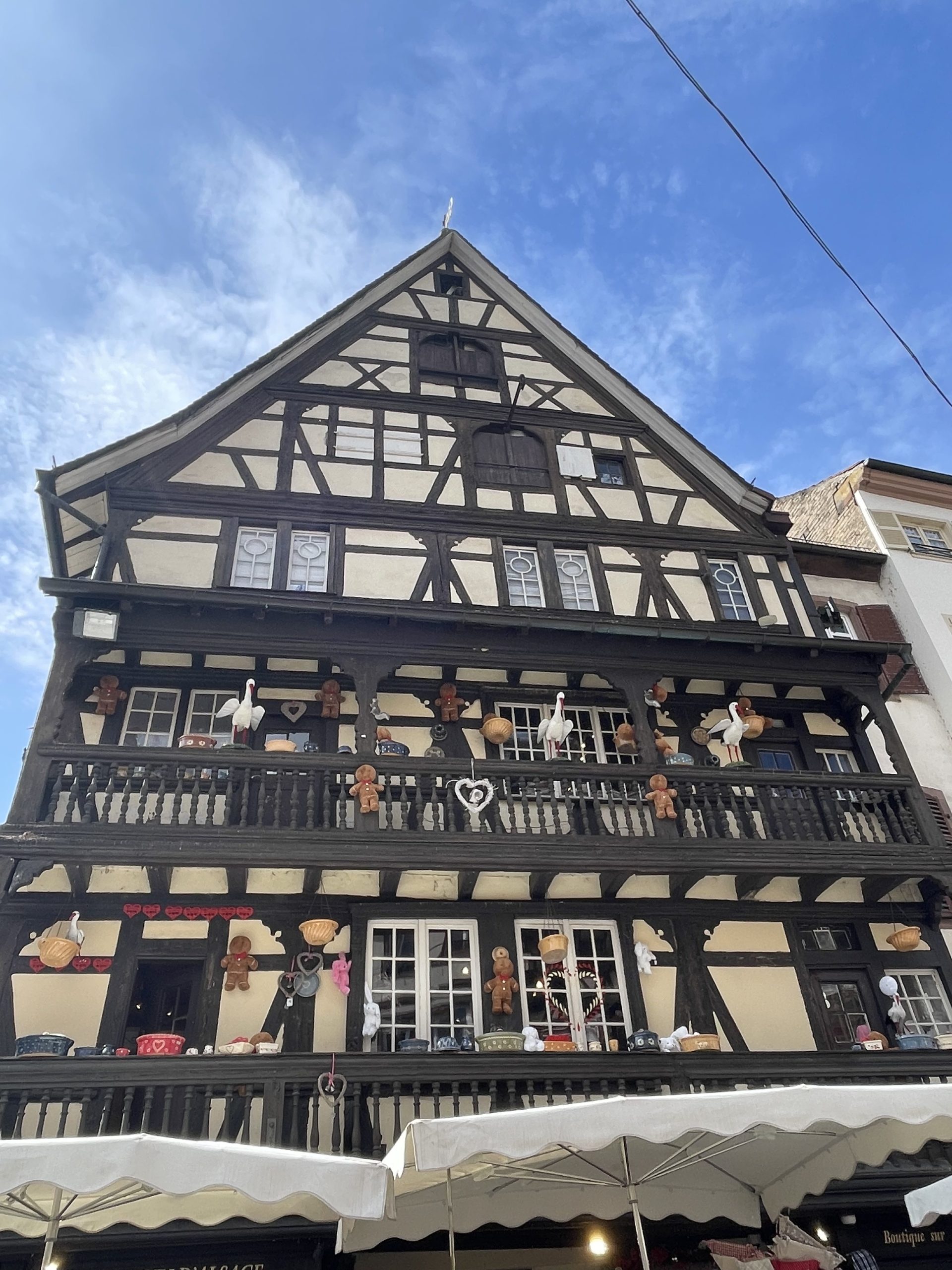
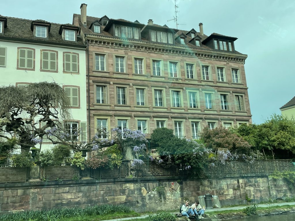
We took the train from our campsite village Obernai to Strasbourg where the modern buildings of the European Parliament sit on the outskirts of an otherwise ancient city.
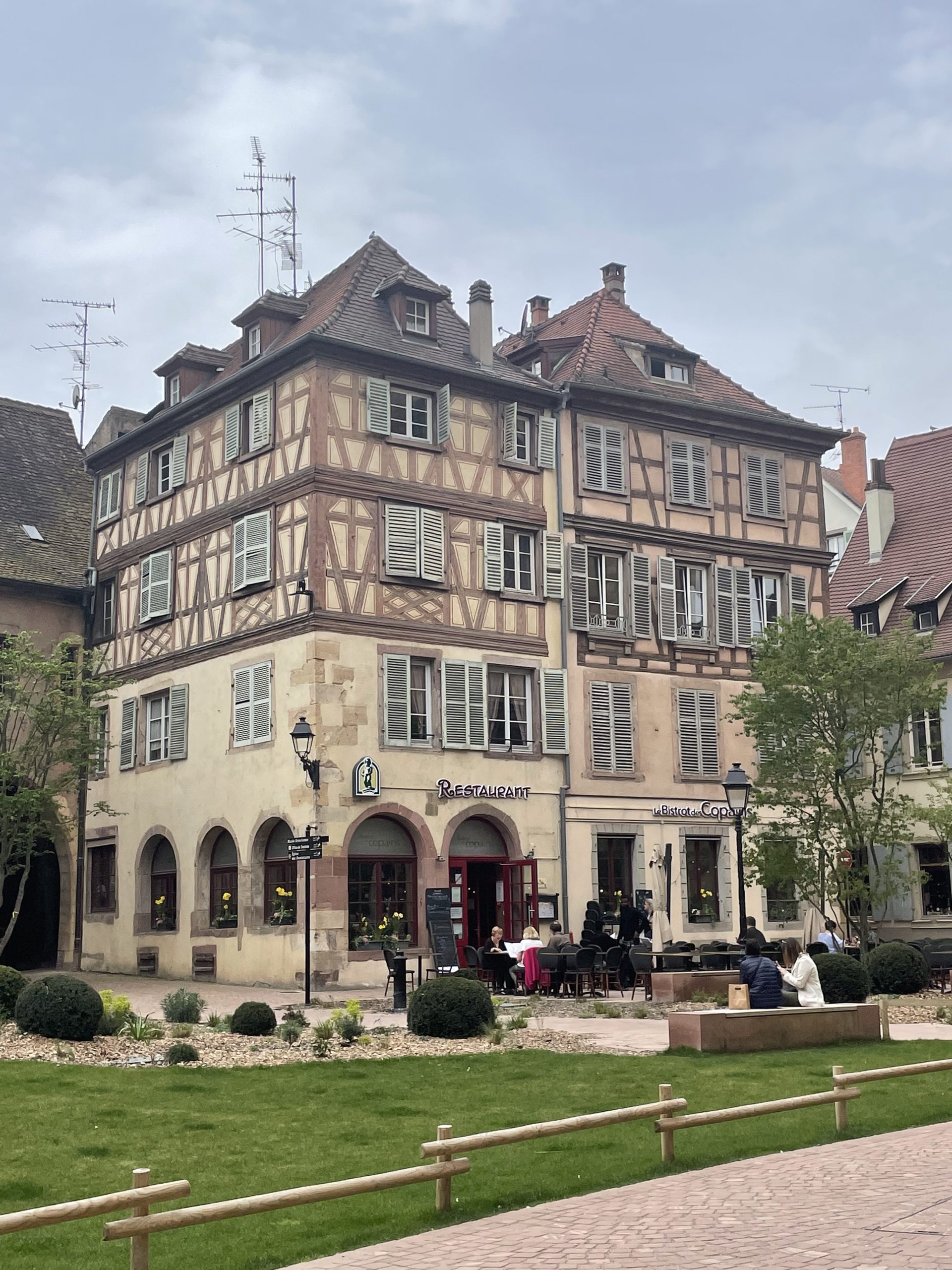
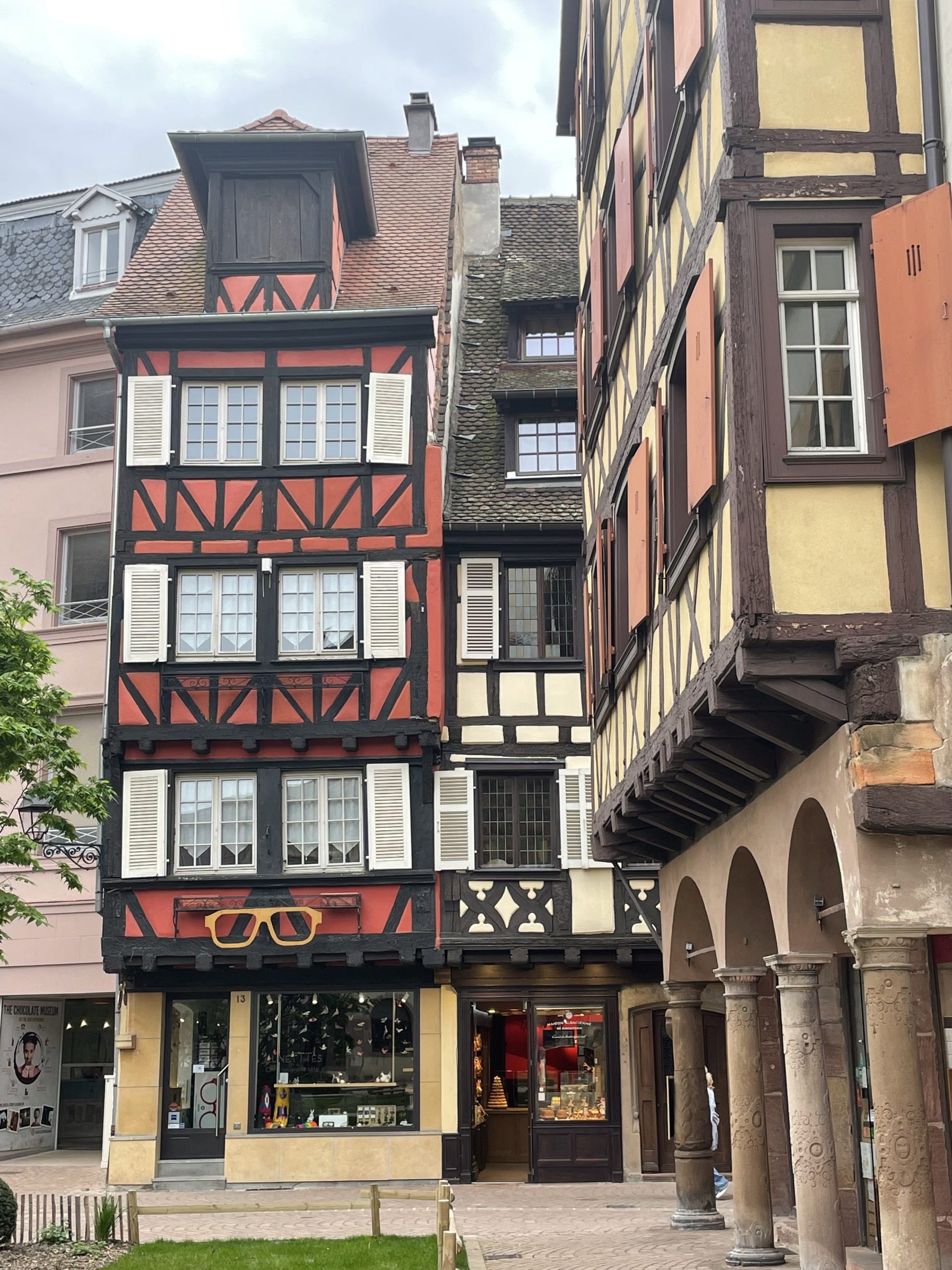
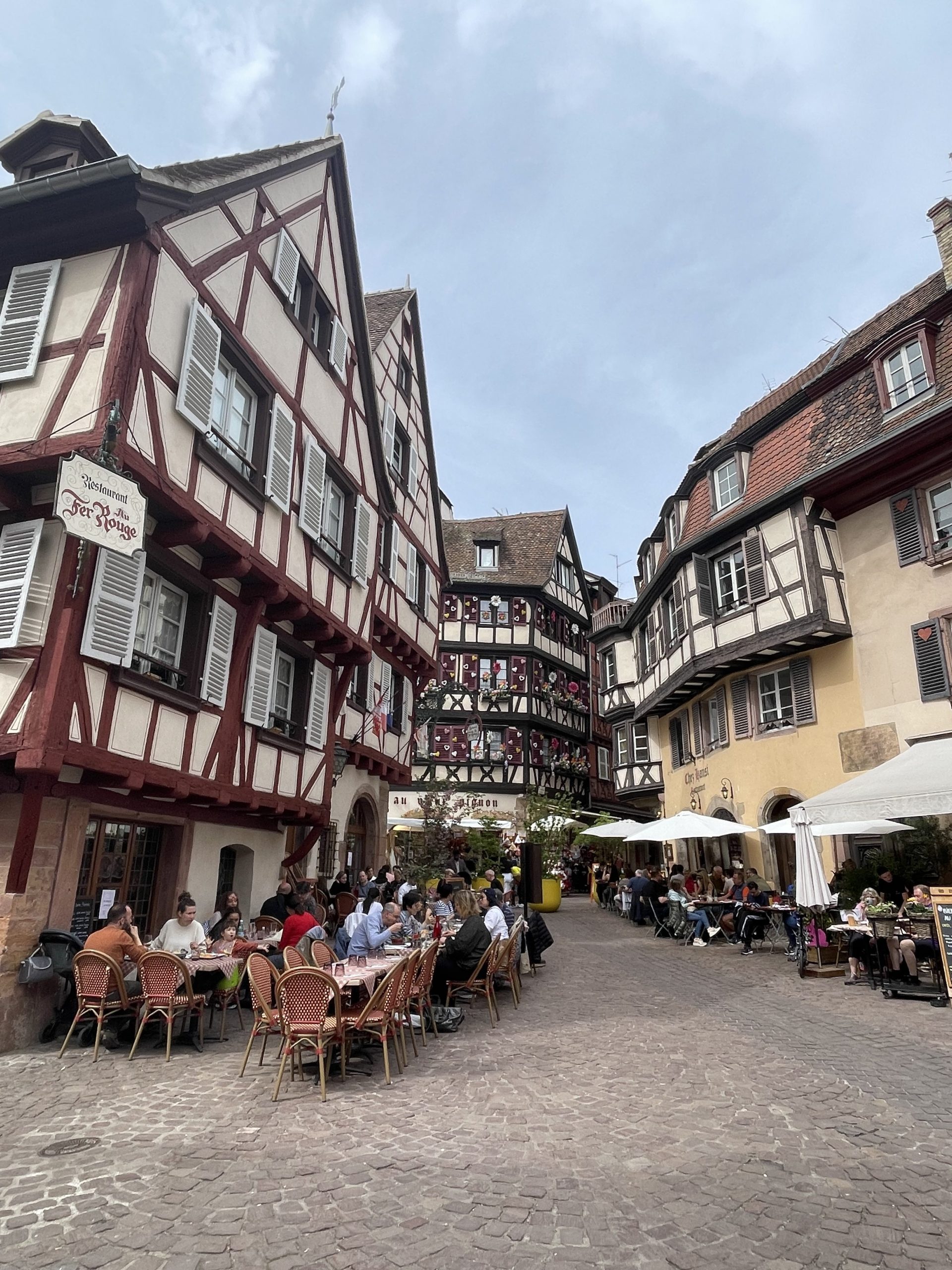
COLMAR
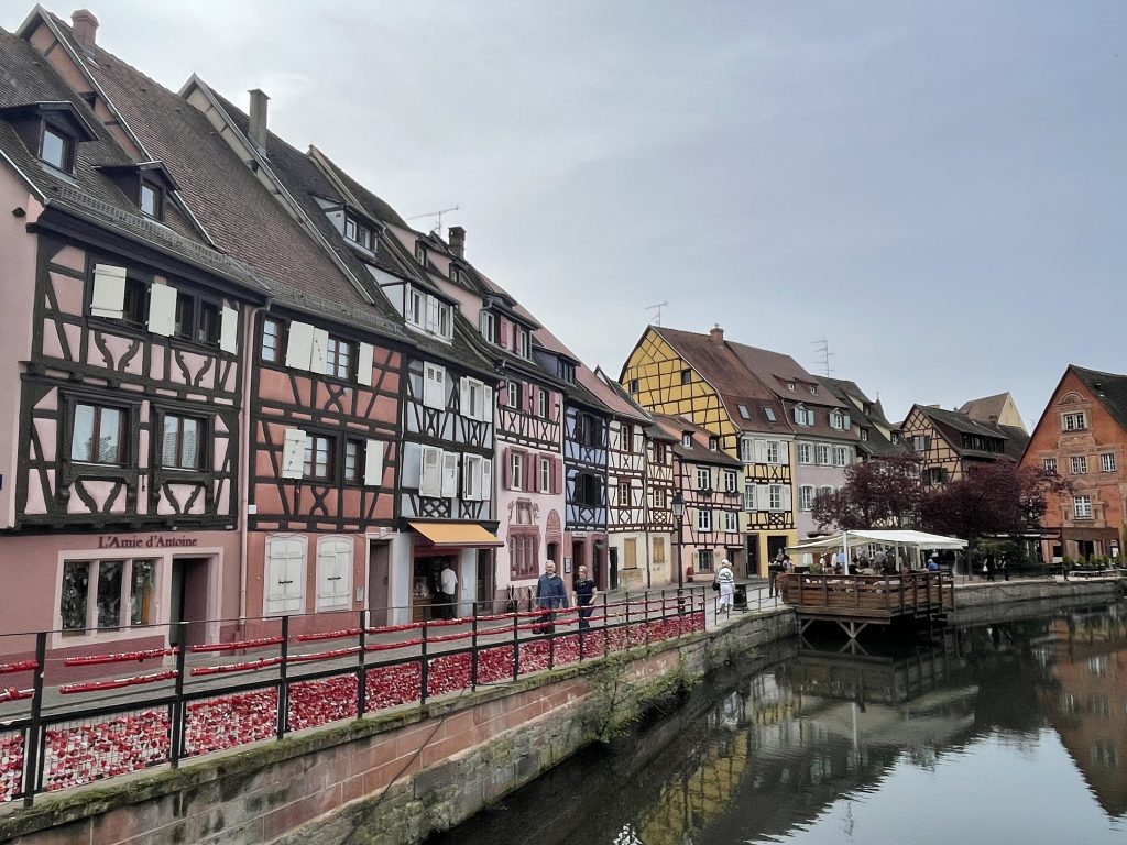
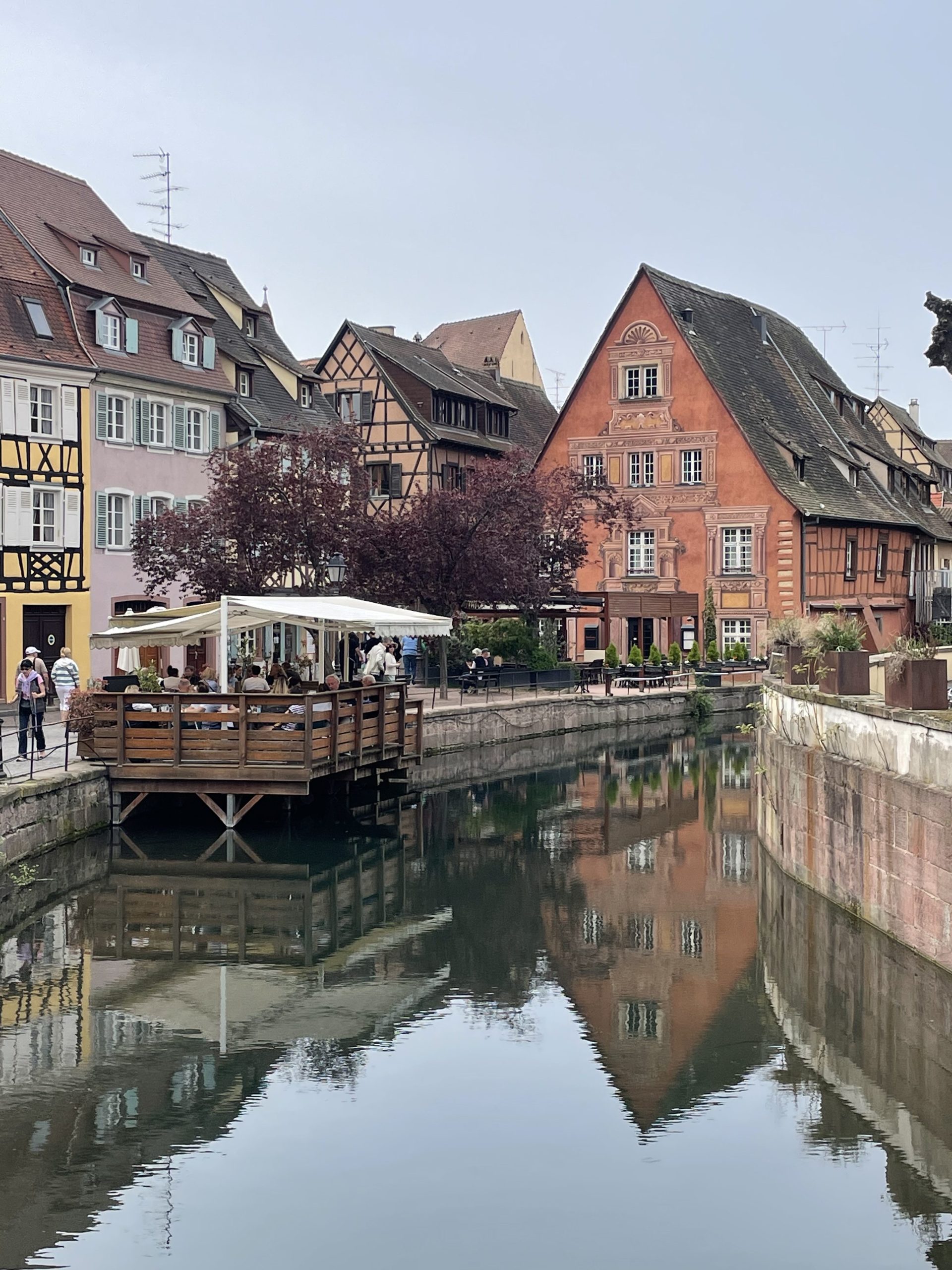
A pretty town south of Obernai – we took the train to get there.
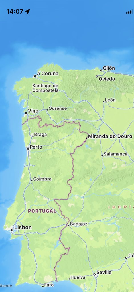
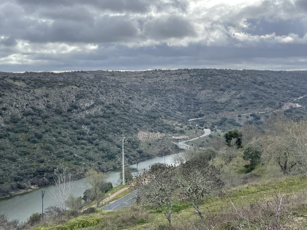
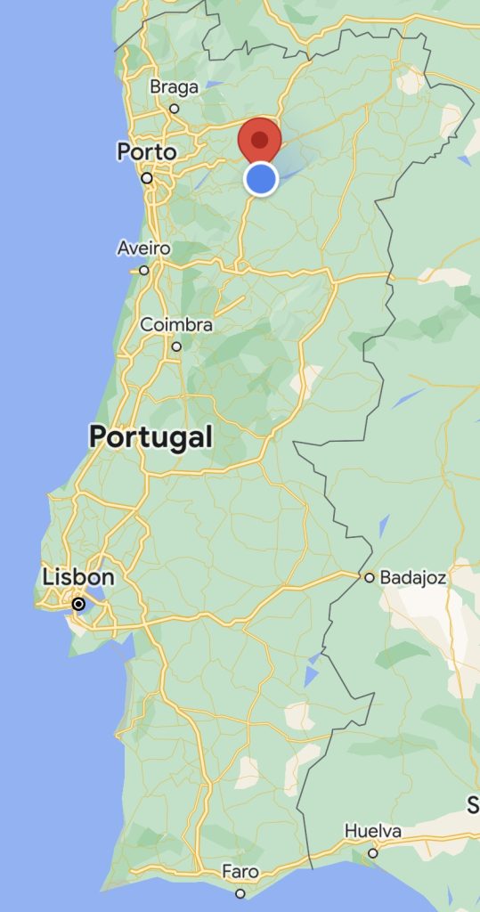
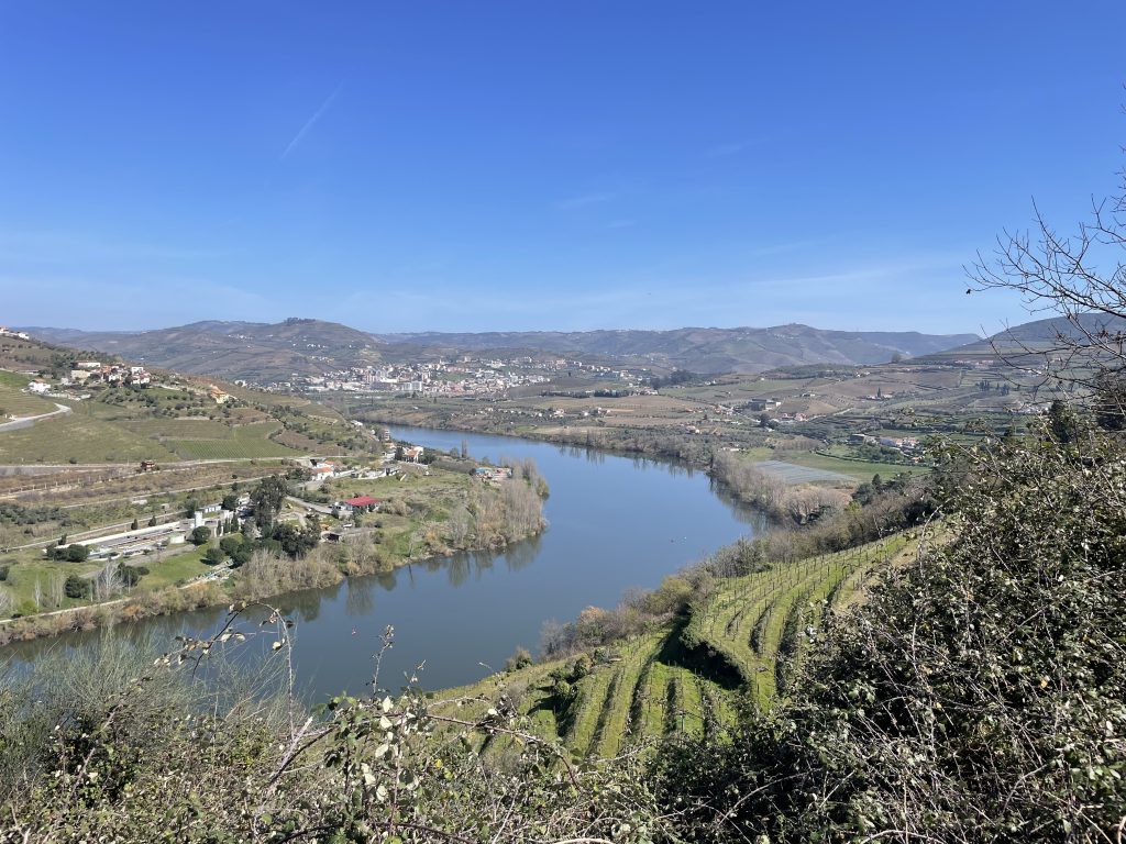
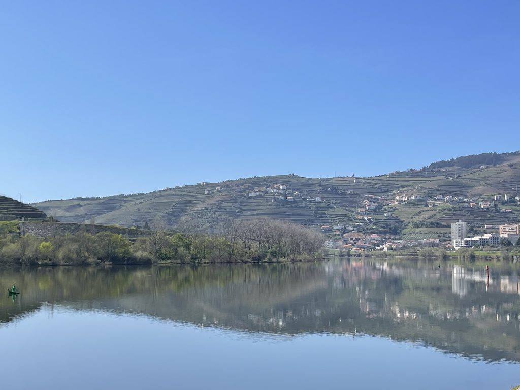
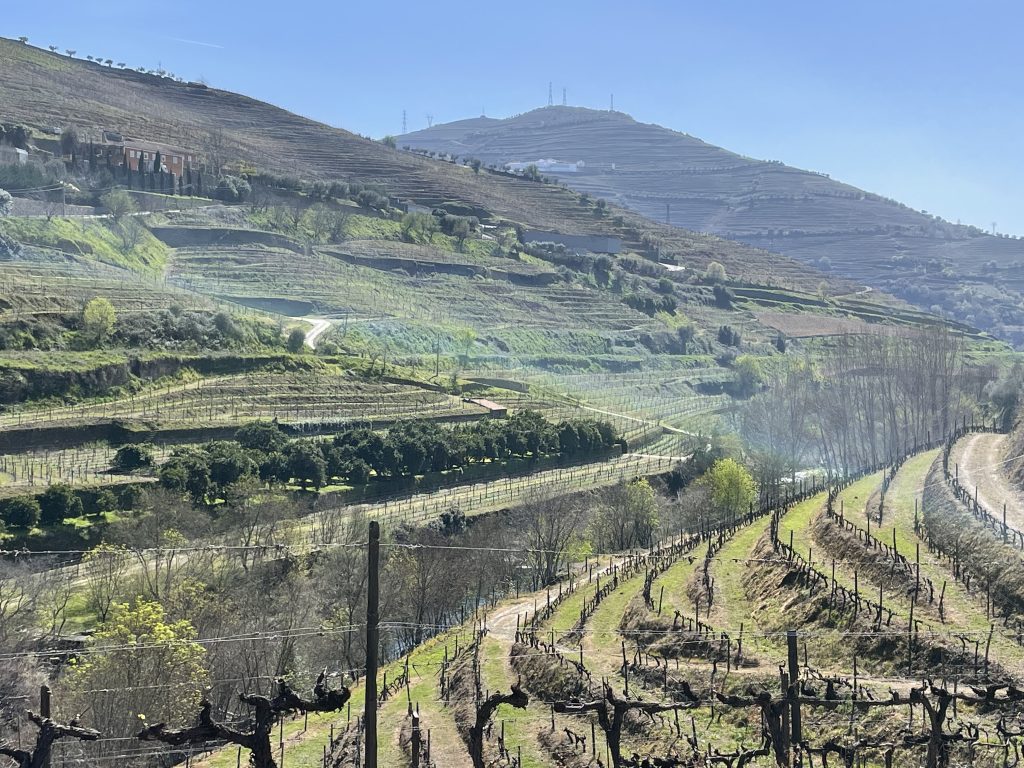
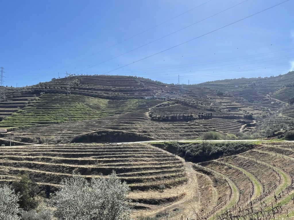
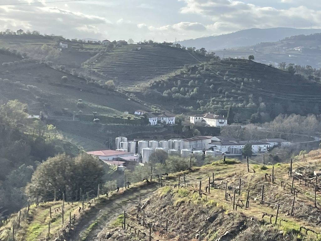
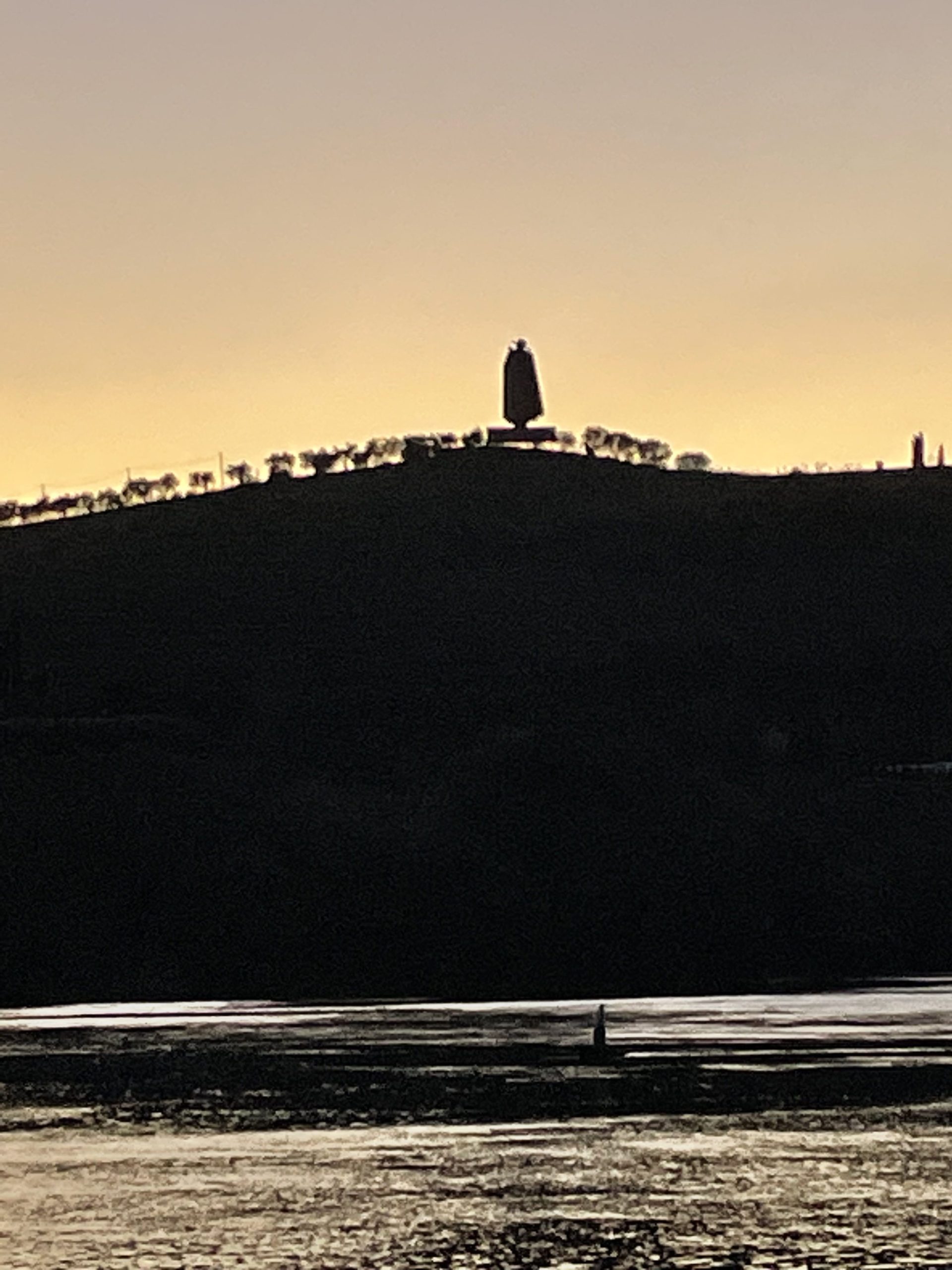
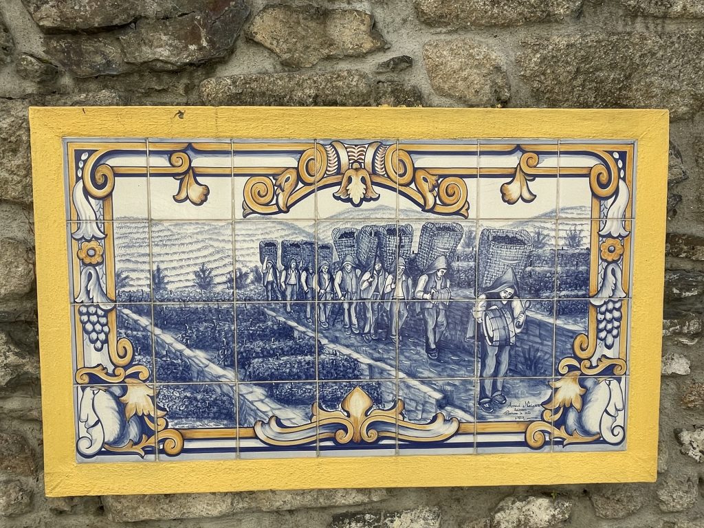
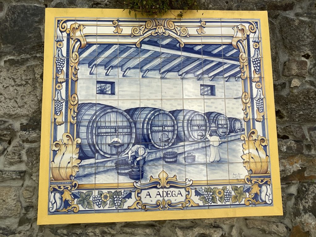
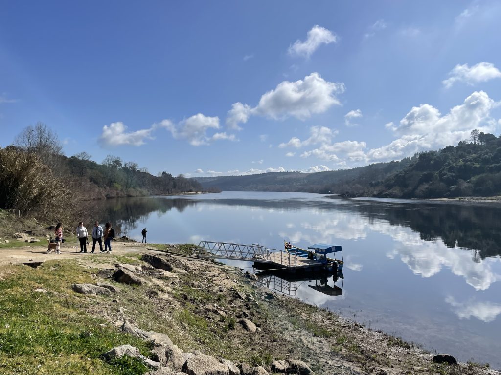
The Rio Douro forms the border between Portugal and Spain for quite some distance. Here at Miranda, in the north east of Portugal, the Douro has carved a deep gorge into the rocks.


That’s all for now folks, we’re homeward bound now. More adventures later!

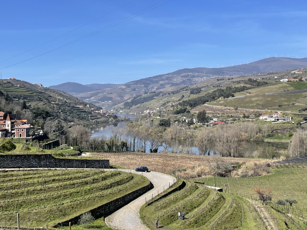










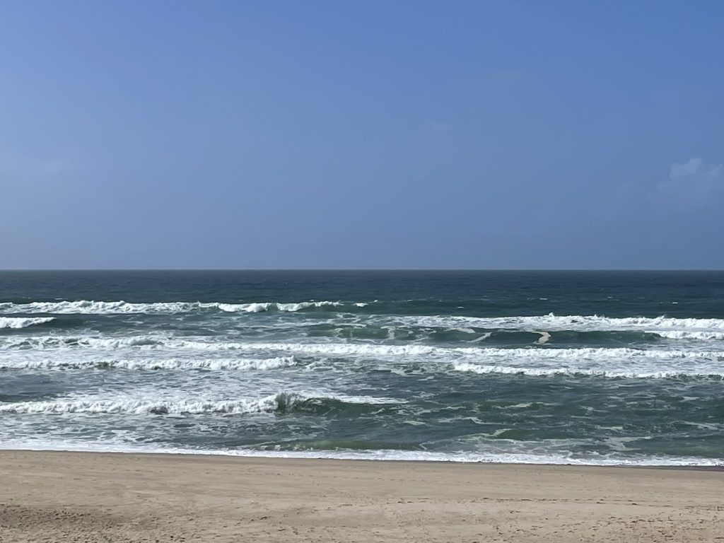
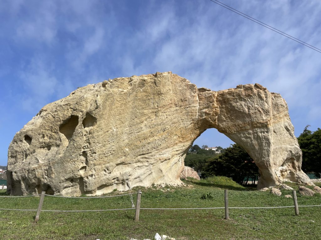
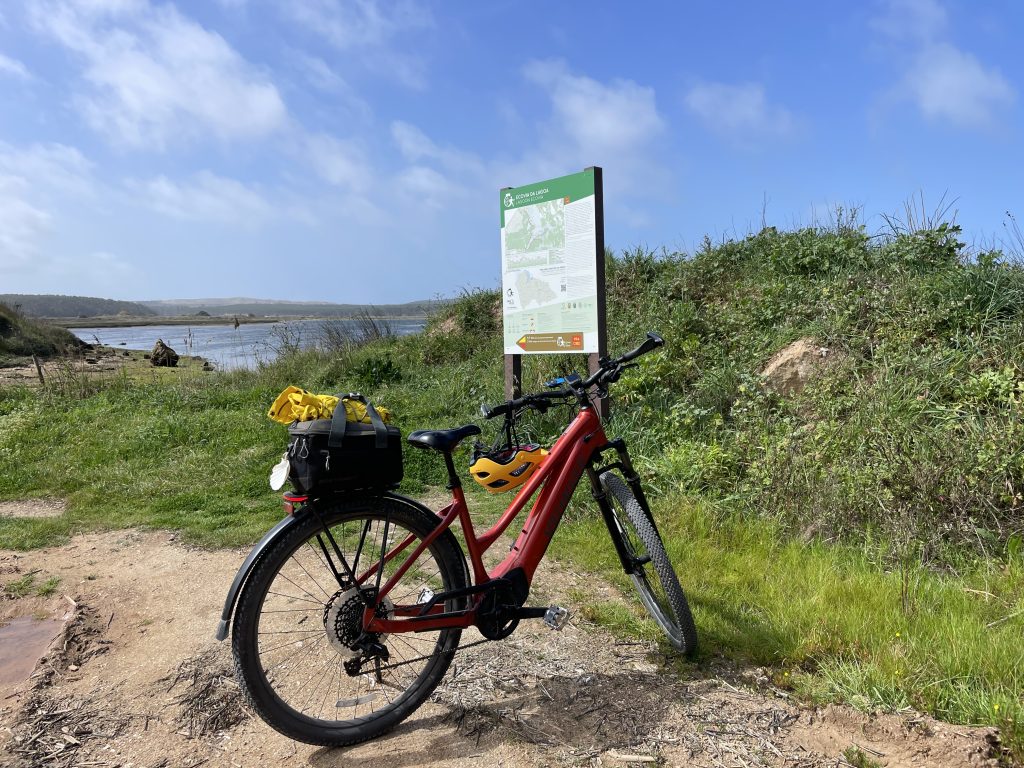
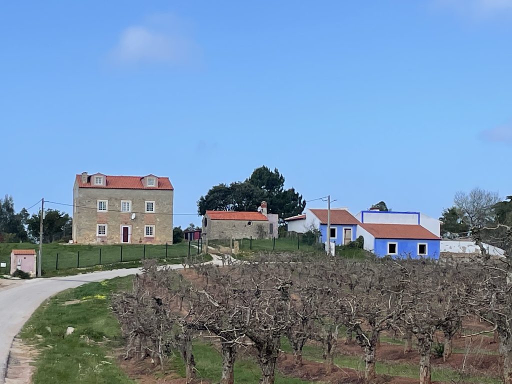

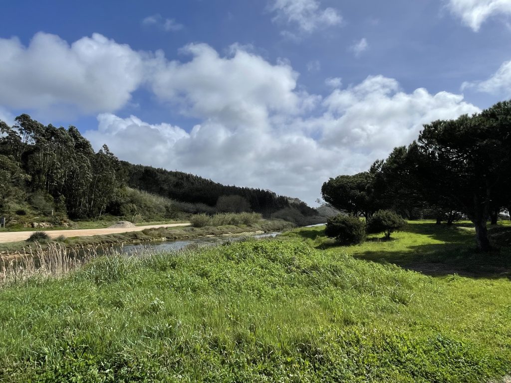
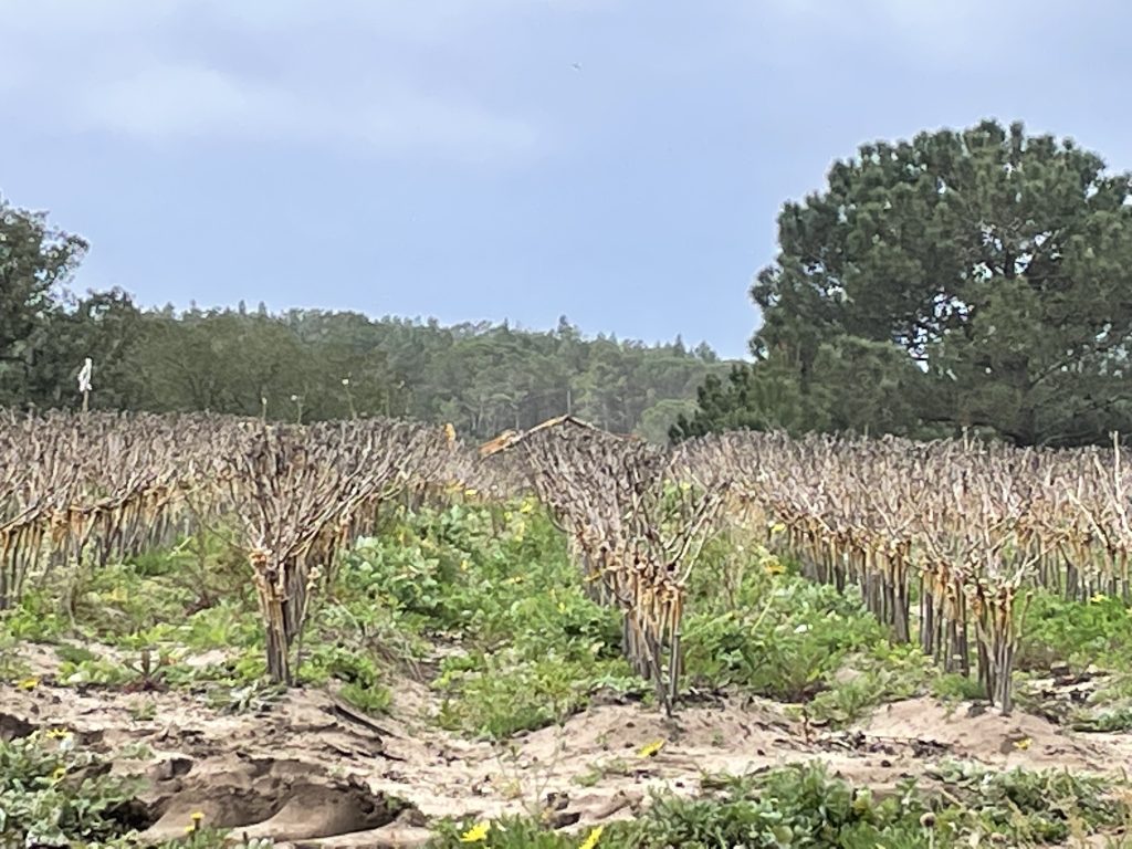
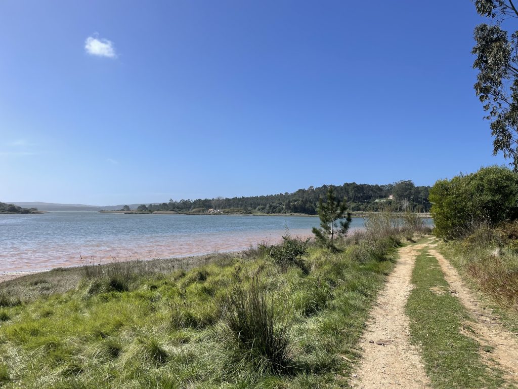
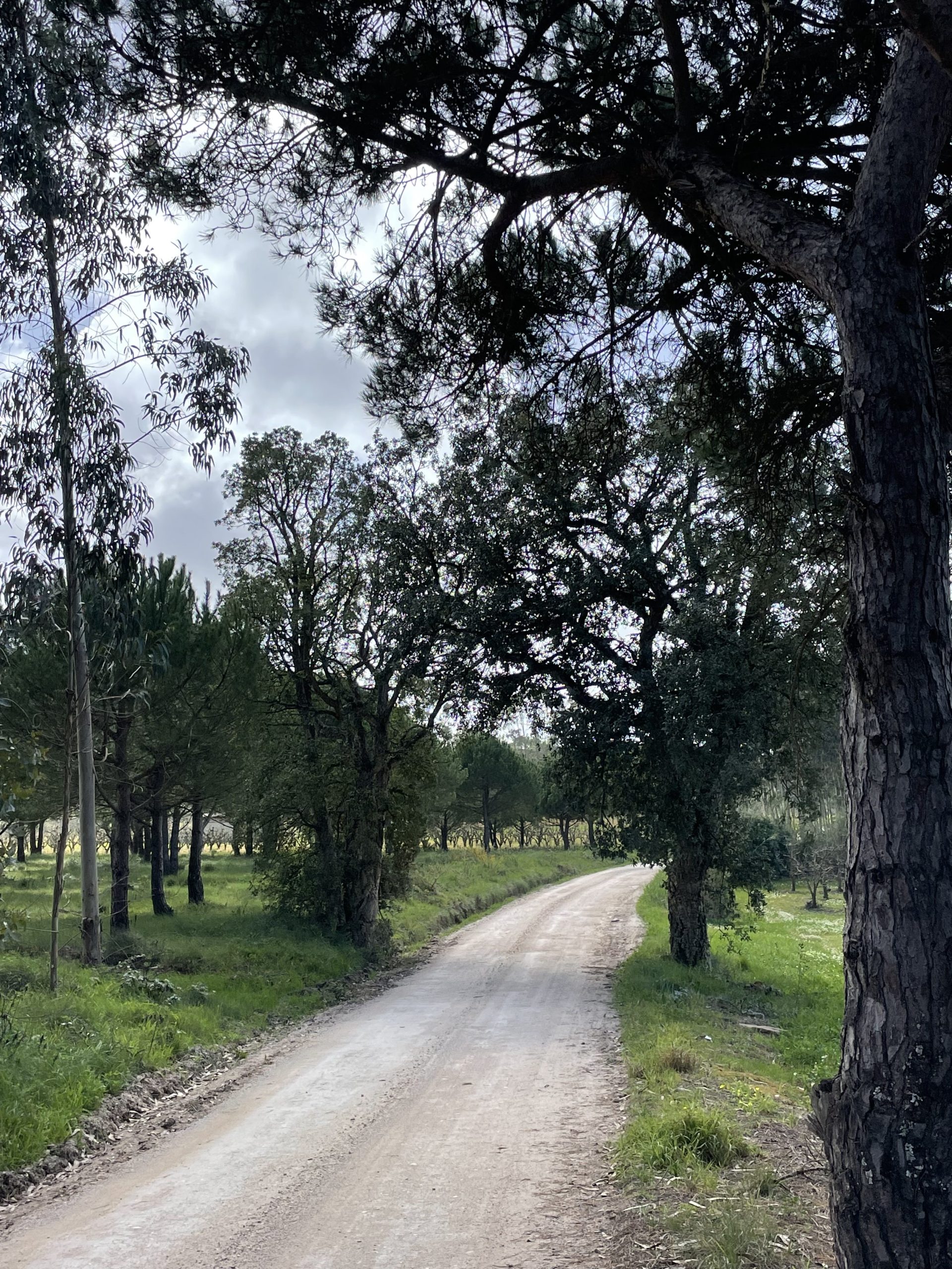


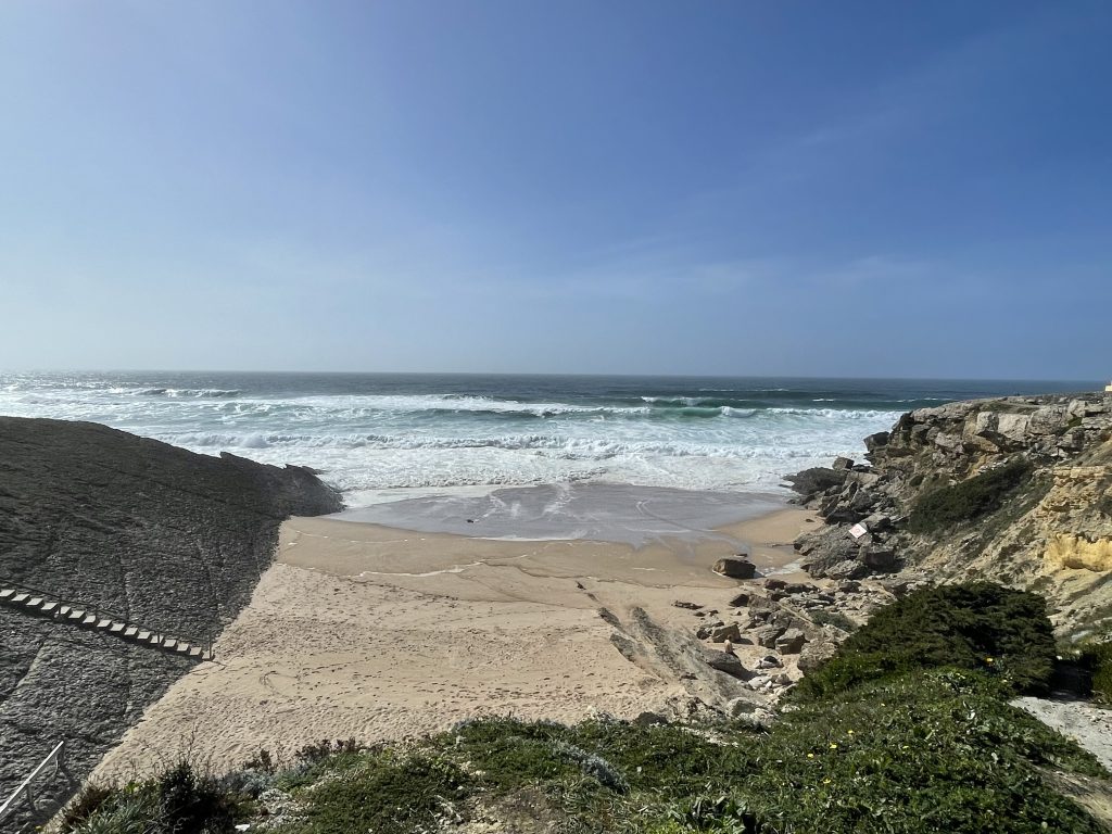
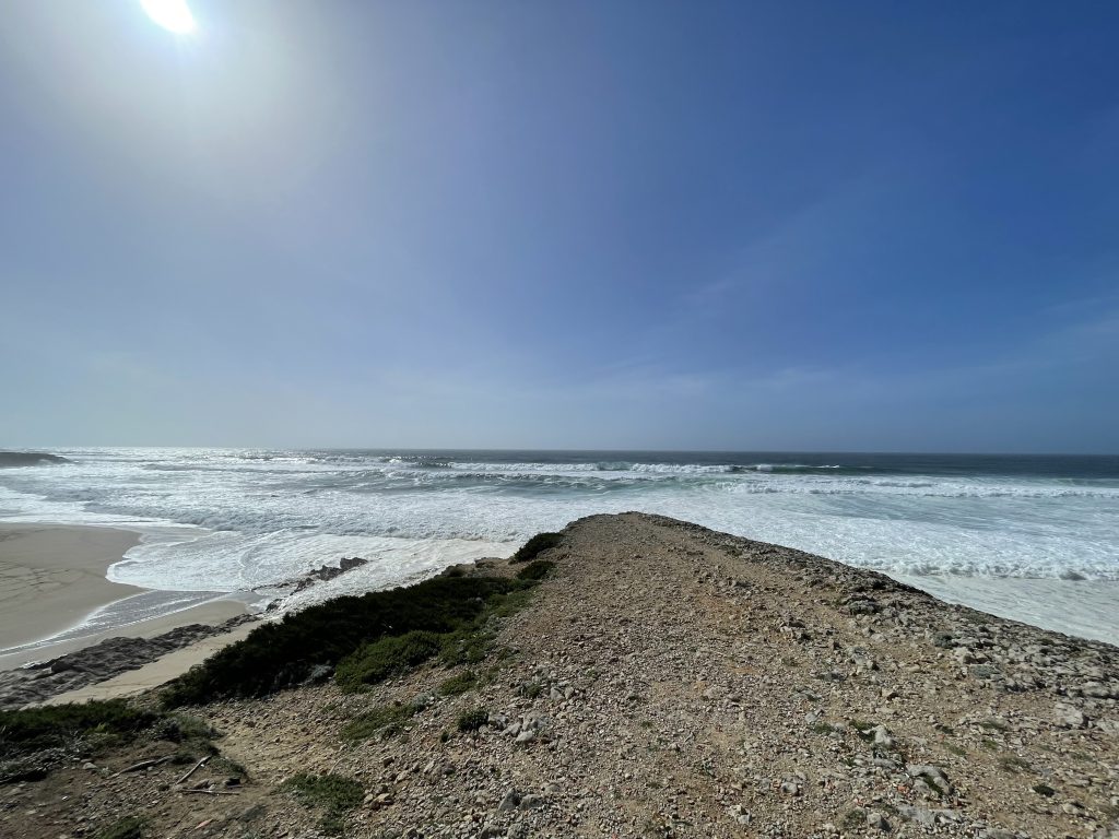

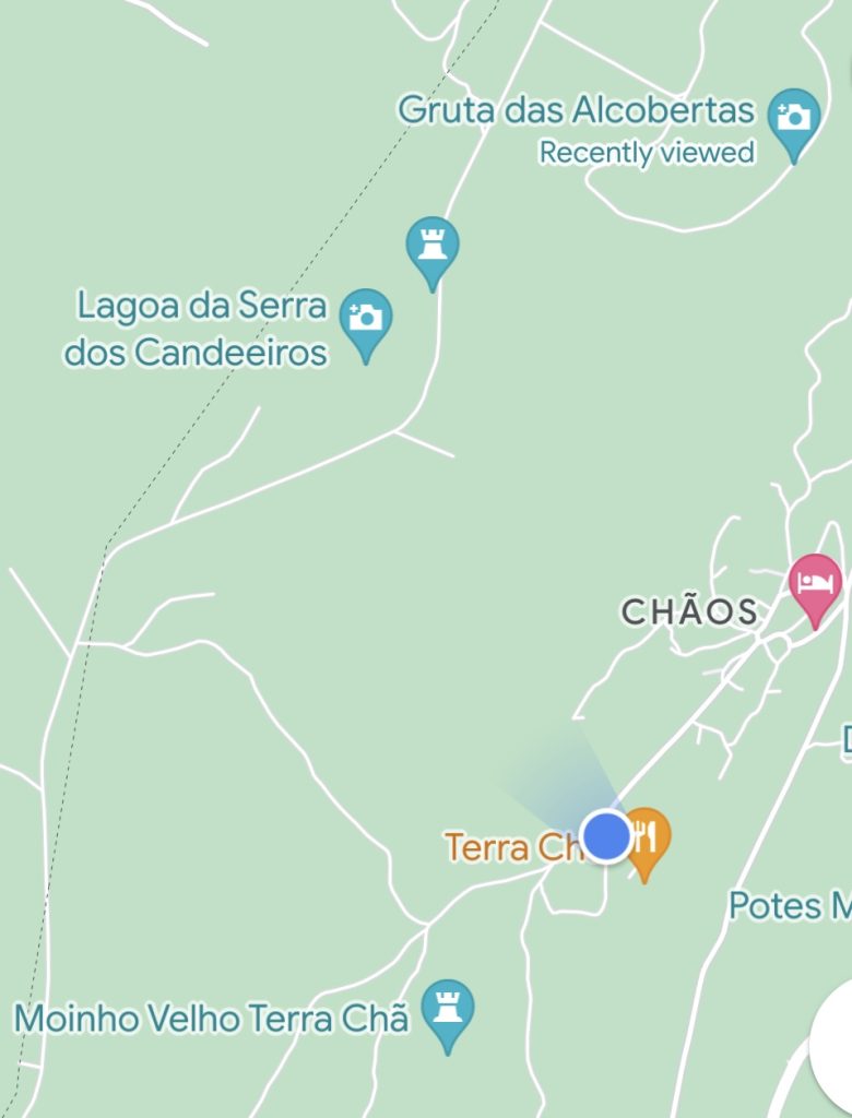
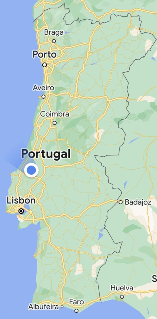
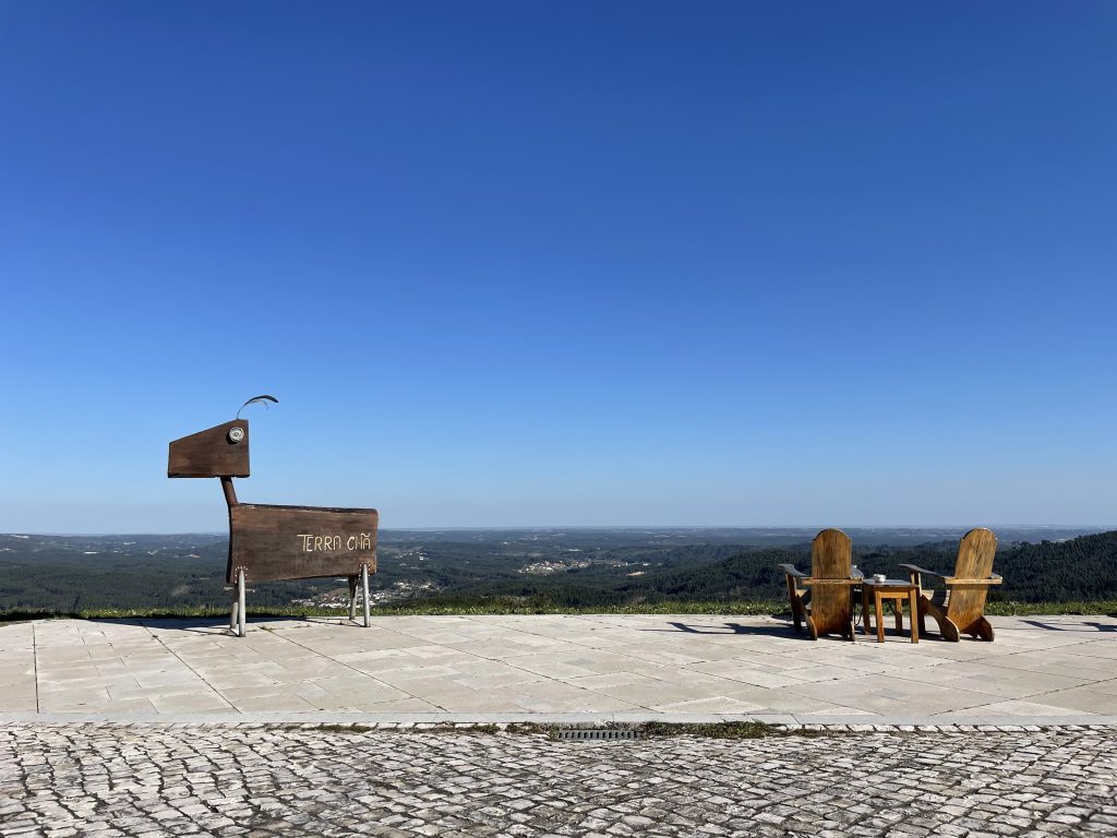
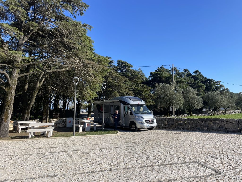
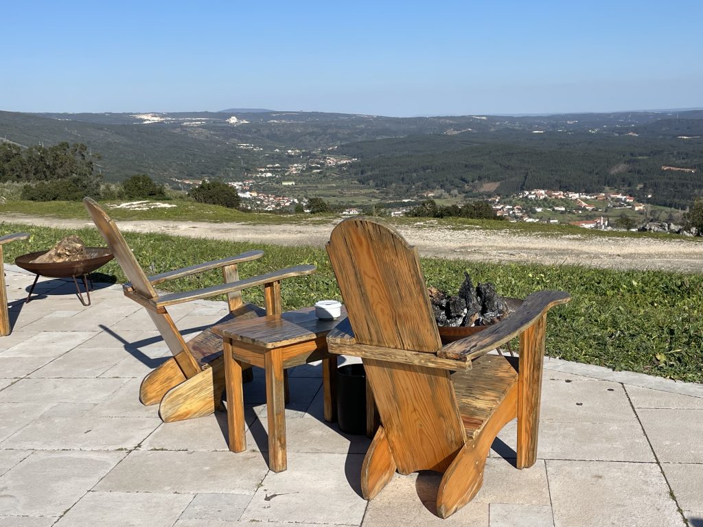
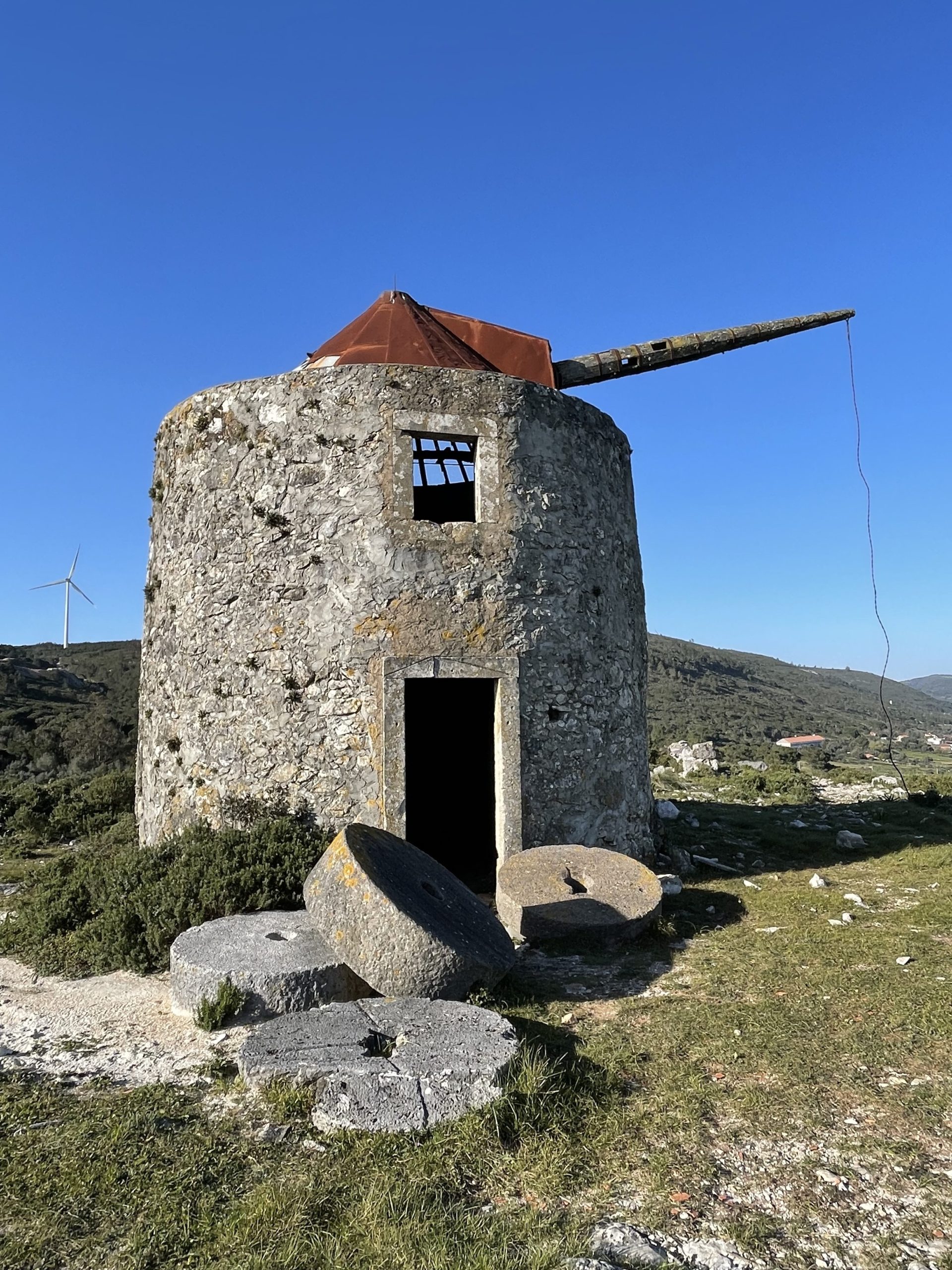
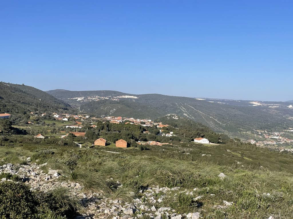
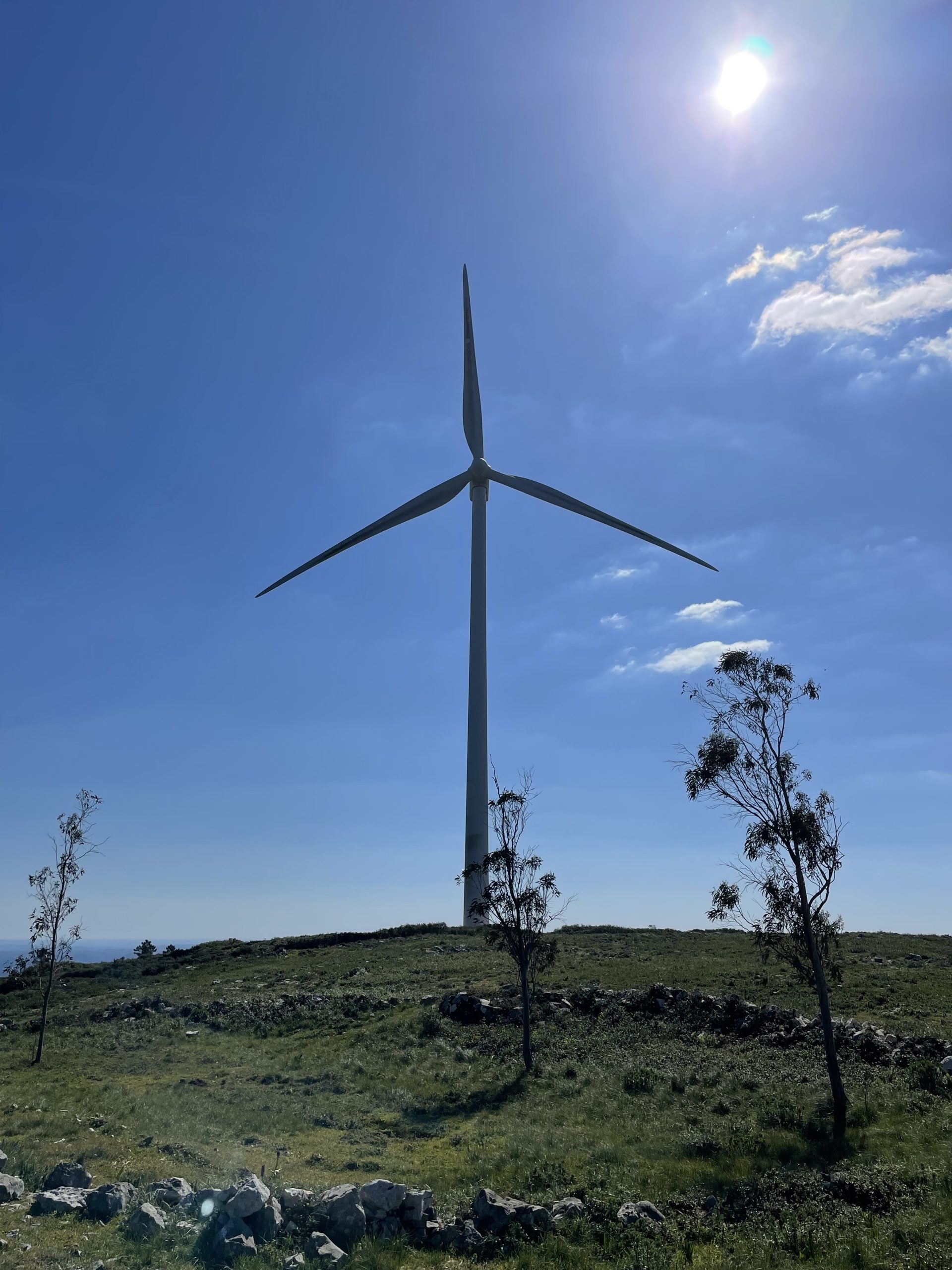
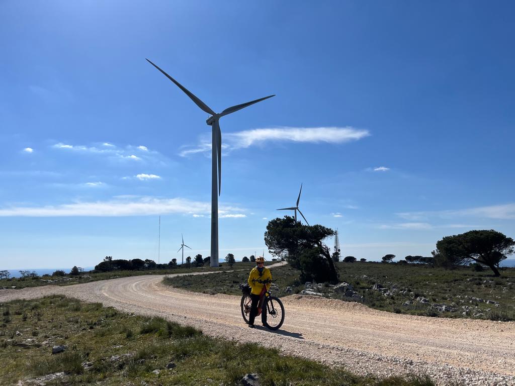
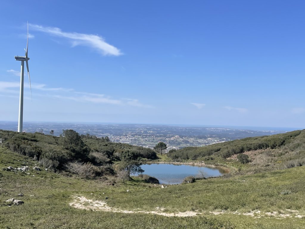
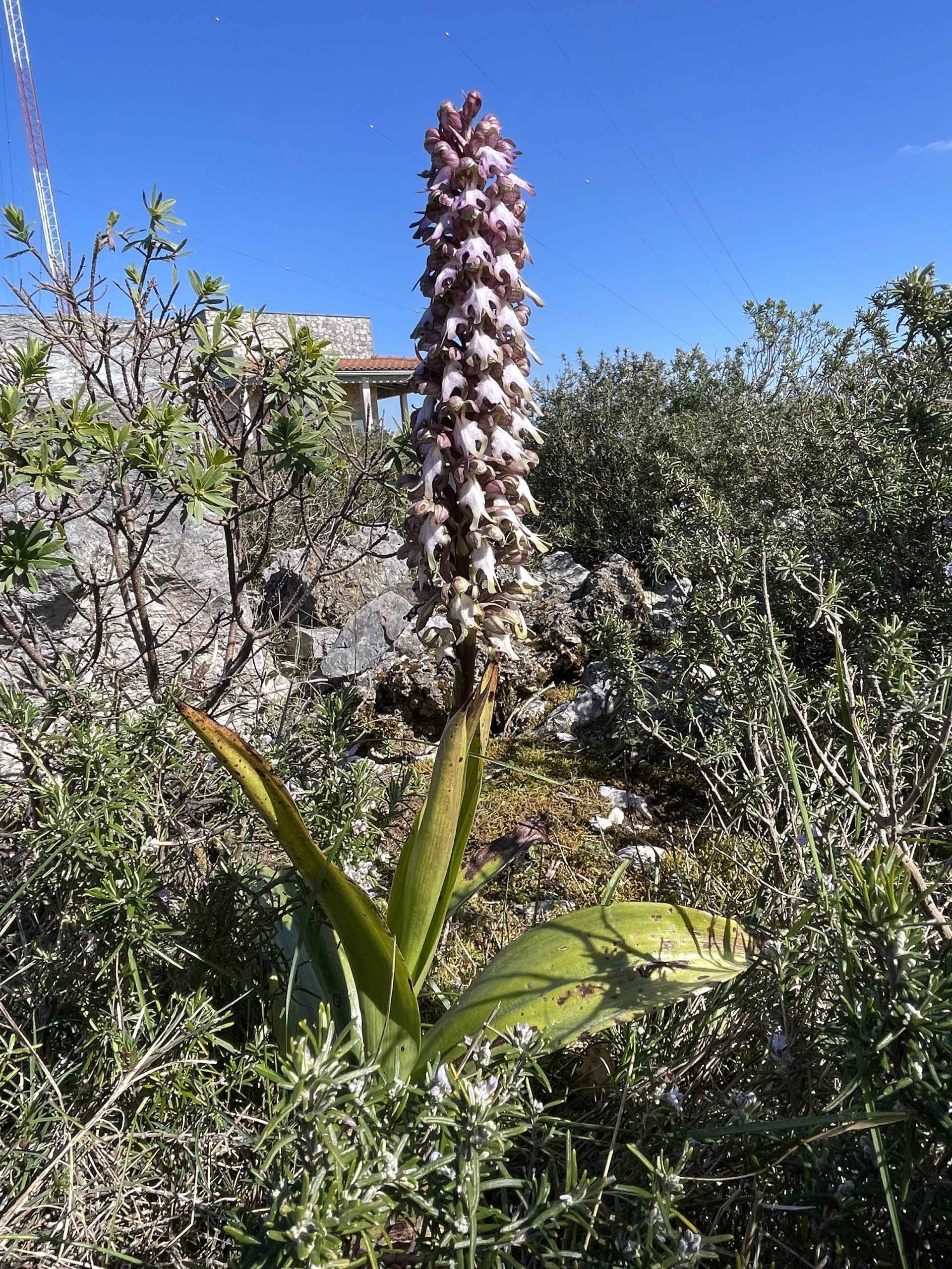
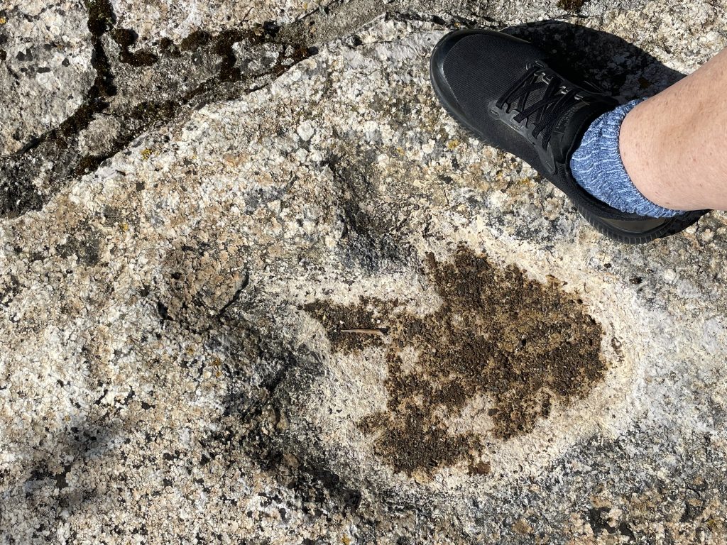
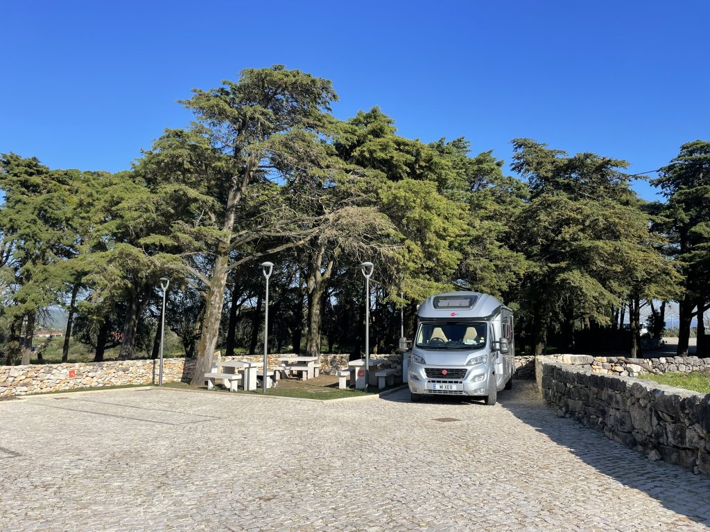
Our home for 2 nights was in a small enclosure for 5 motorhomes, just outside Chaos village, each paved pitch had water, drainage and EHU, plus stone tables and chairs. All for 9€ a night. We were lulled to sleep with the sound of the wind turbines. The baker came each morning with fresh bread and rolls.
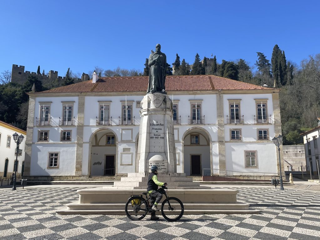
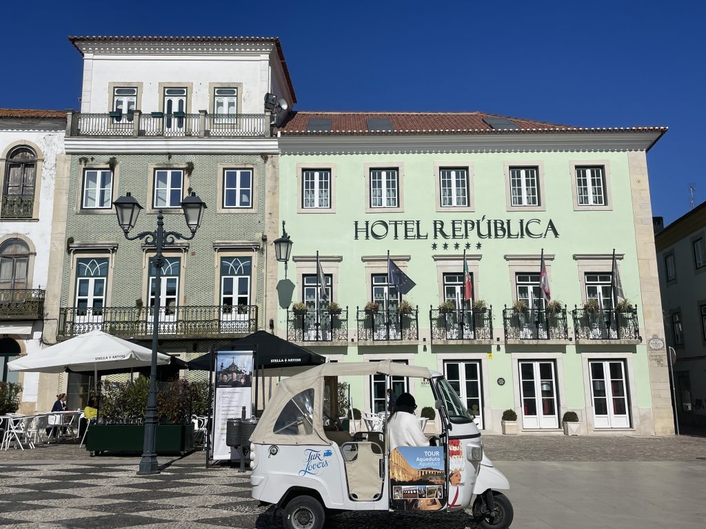
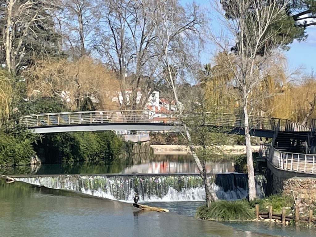
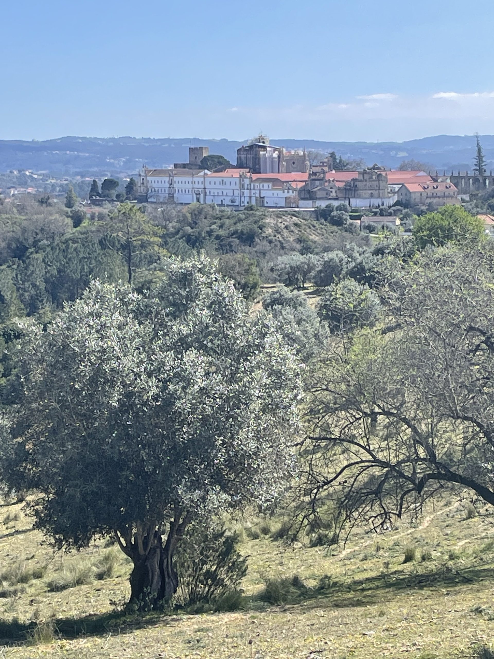
Tomar is a pretty riverside town with a grid of cobbled streets and a huge square with a black and white stoned floor.
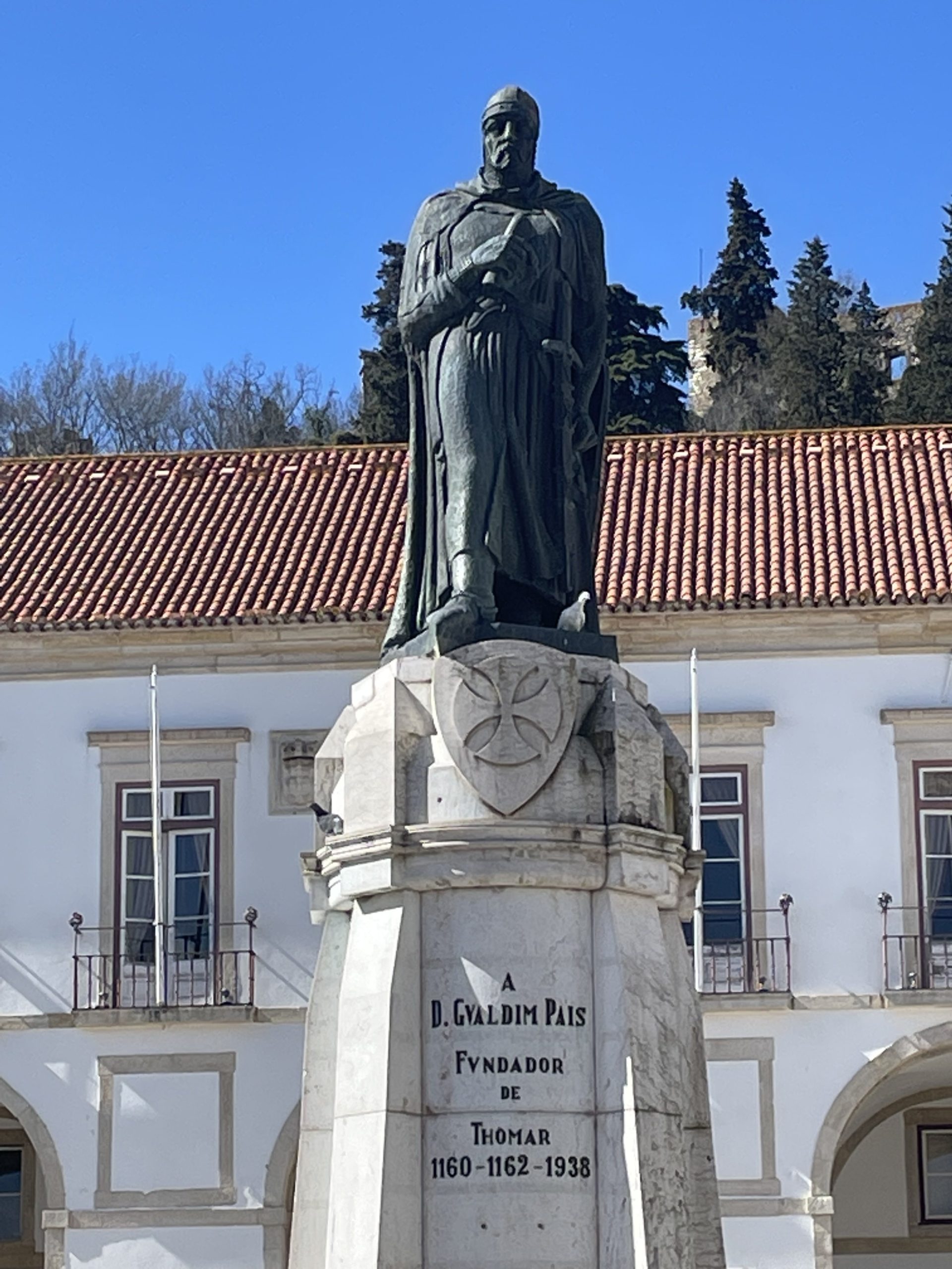
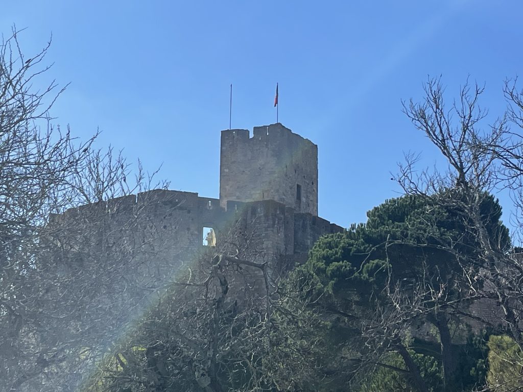
Towering above the town on a hillside are the crenellated walls of the Unesco World Heritage–listed Convento de Cristo, which was the headquarters of the legendary Knights Templar nearly nine centuries ago.
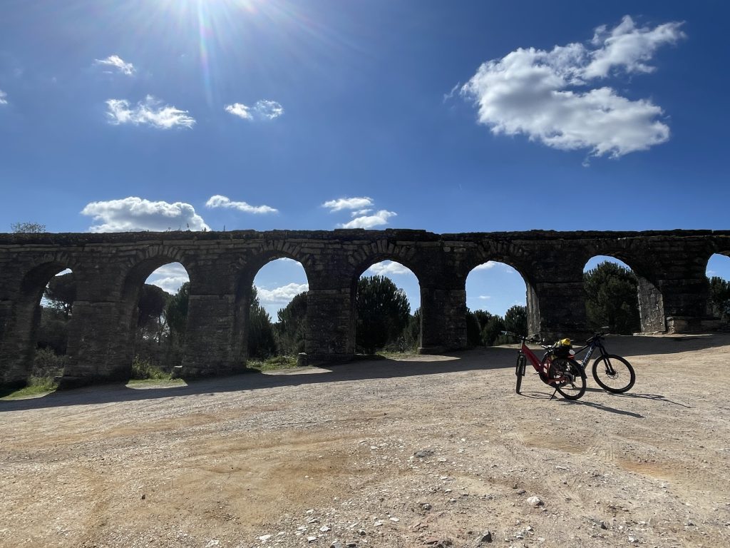
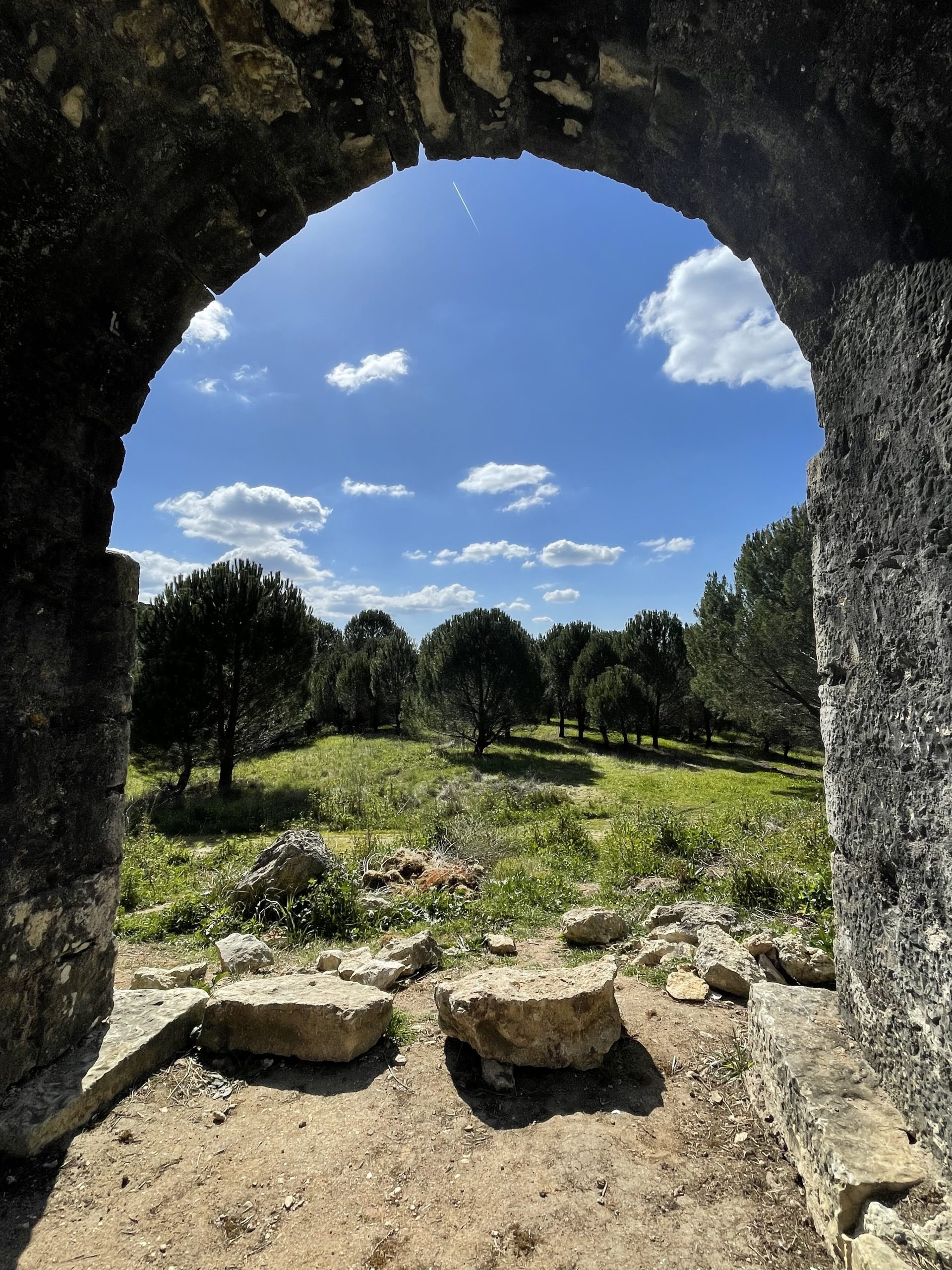
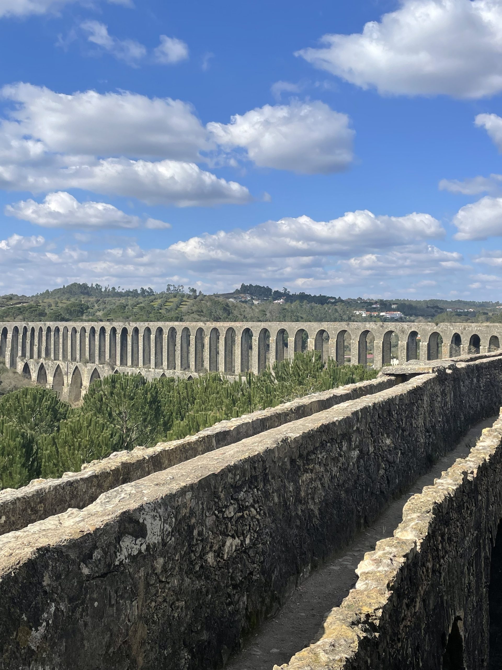
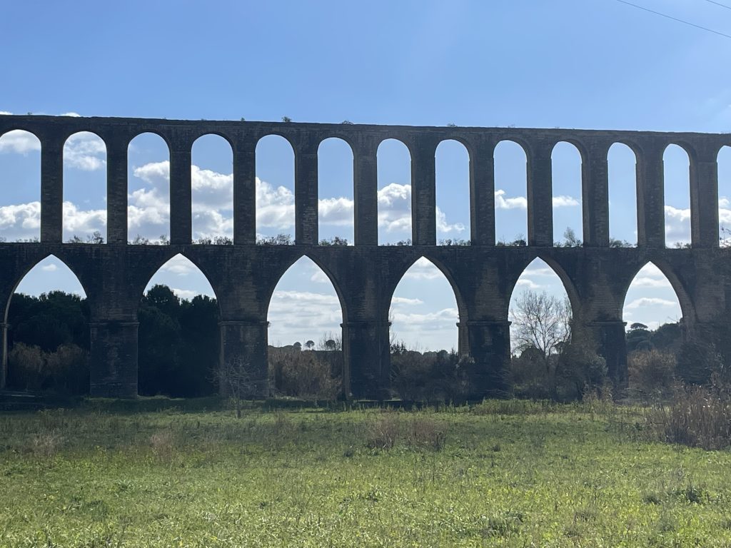
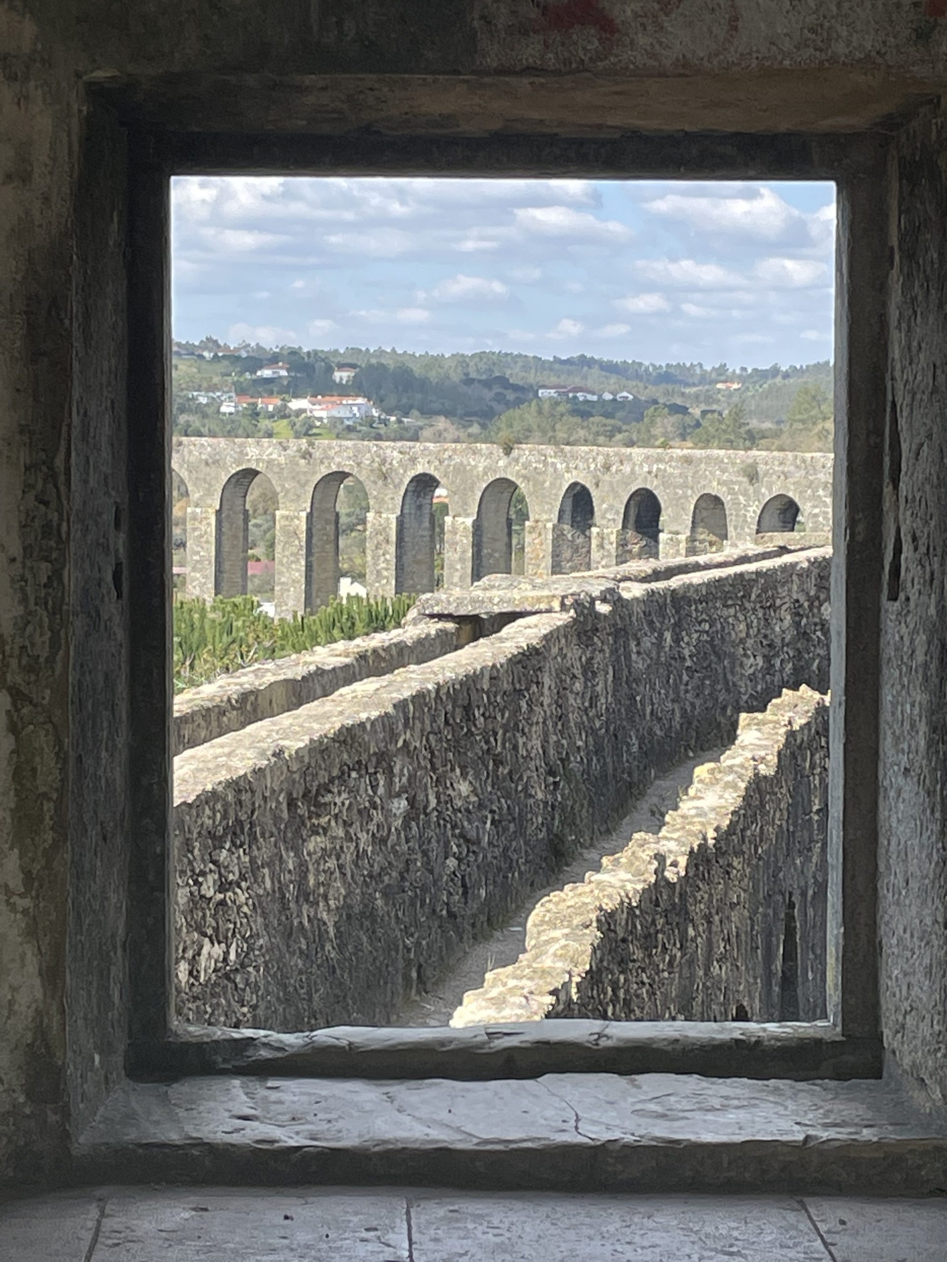
The amazing 6-kilometer-long Pegões Aqueduct was built to direct water to Tomar and, in particular, the Convent of Christ. Comprised of two levels of arches, it is one of the largest aqueducts in Portugal.
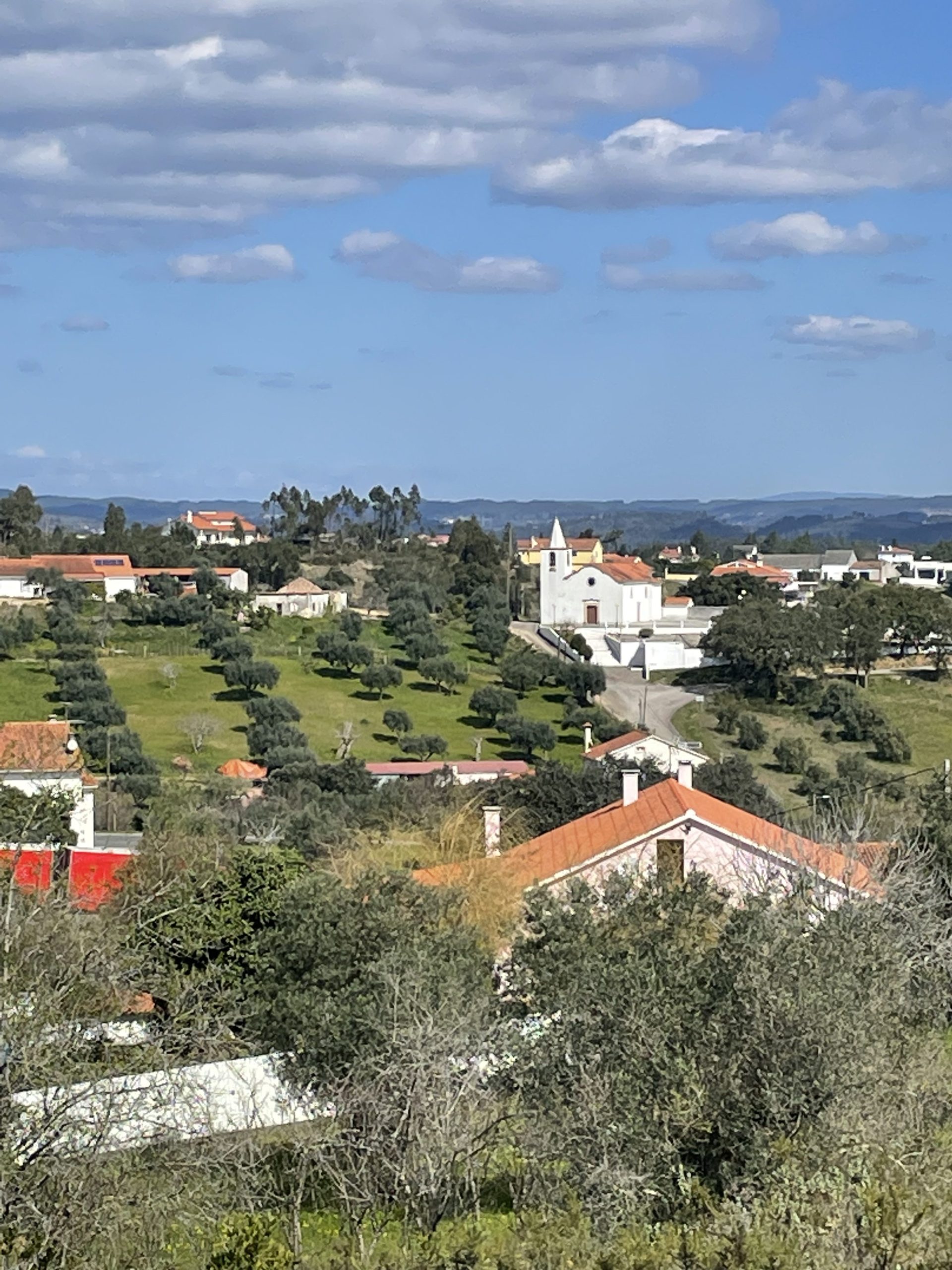
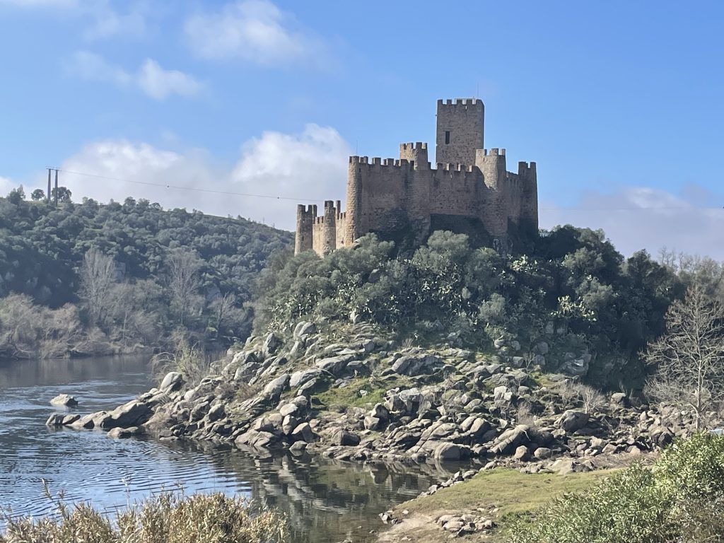
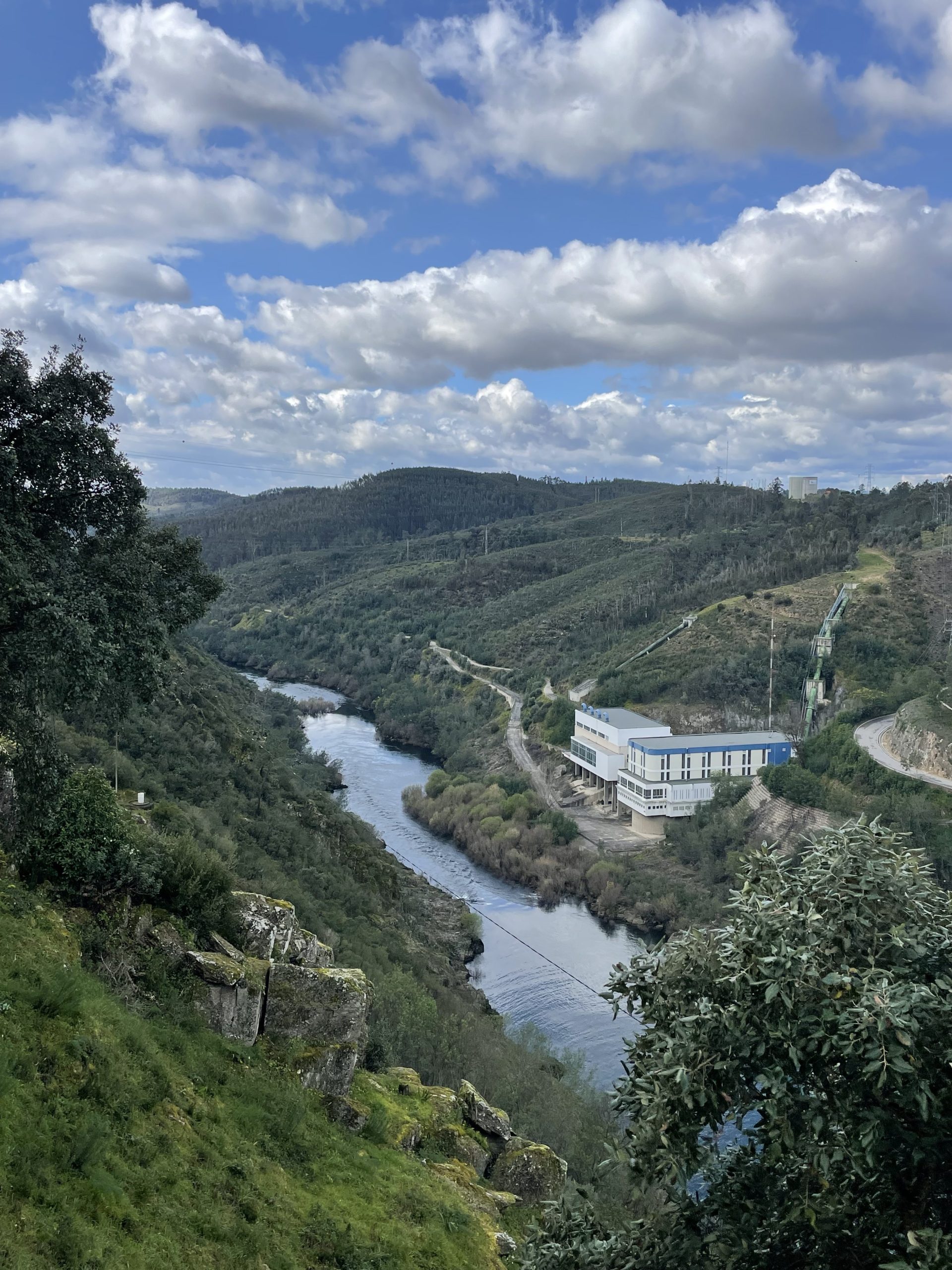
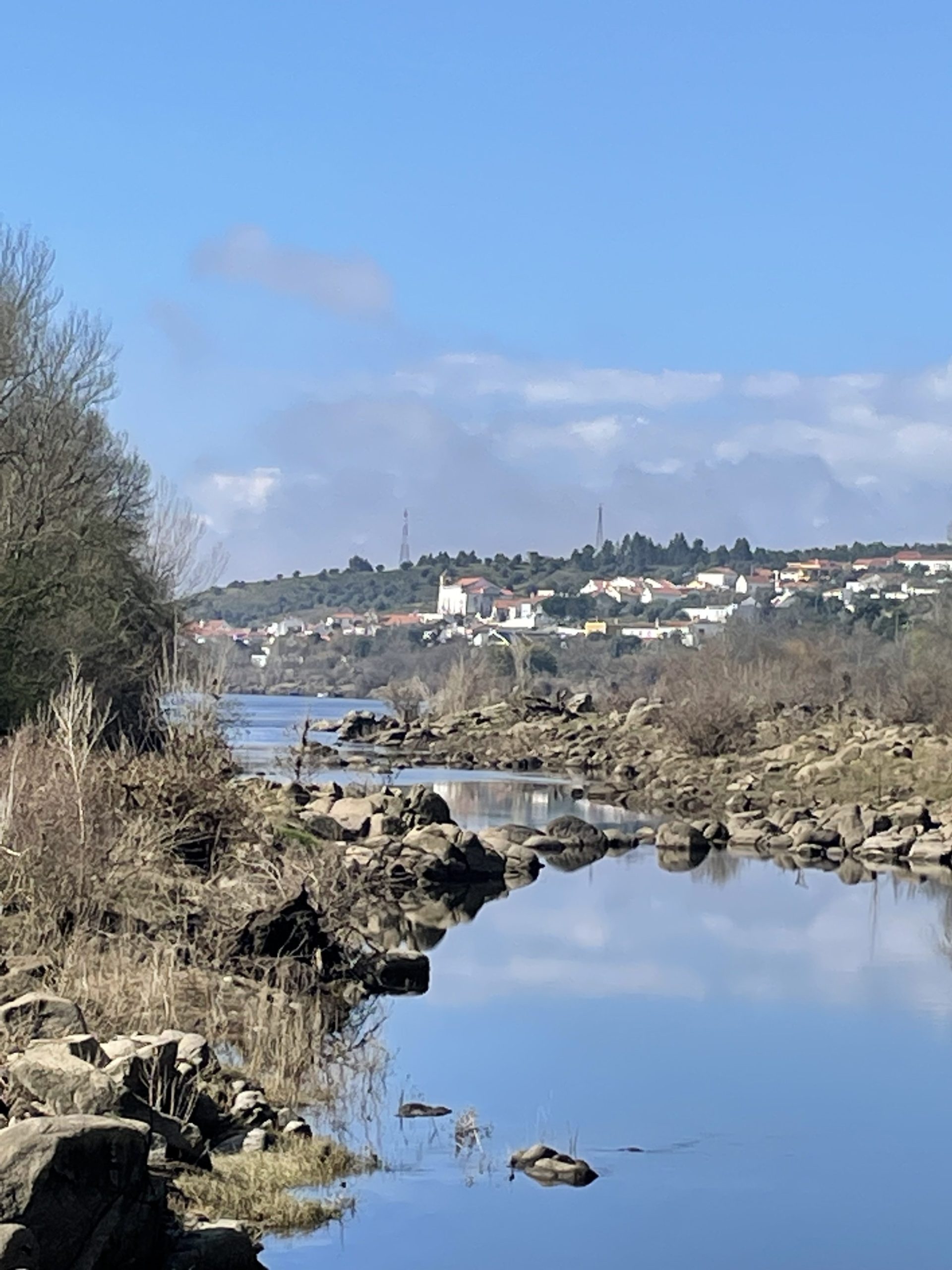
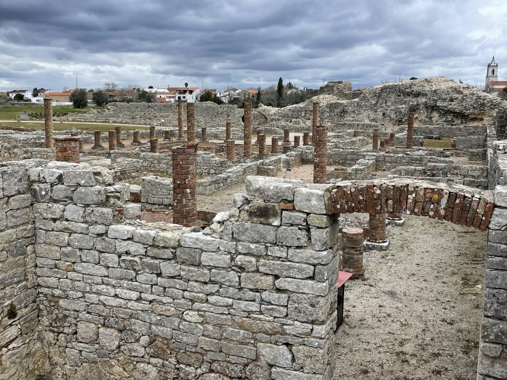
South-west of Coimbra lie wonderfully preserved Roman ruins which were discovered, at the end of the C19th, purely by accident when a new road was being built. It’s Portugal’s largest and most impressive Roman site with elaborate mosaics, all dating from the first few centuries AD. We were dumb-struck!


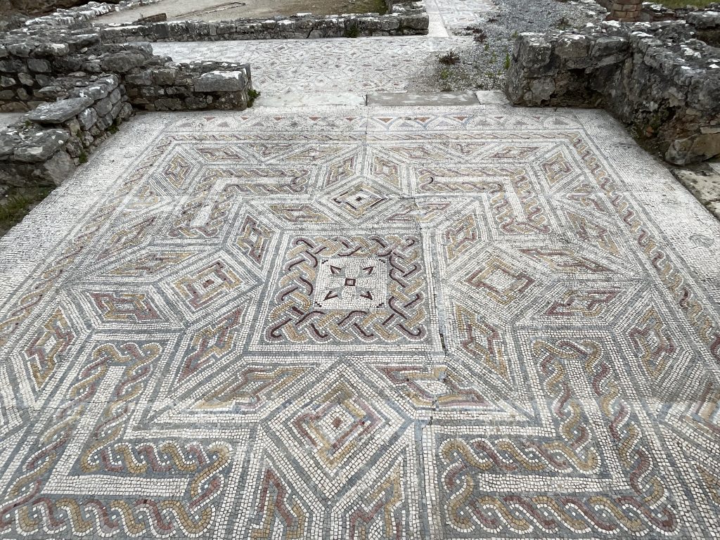
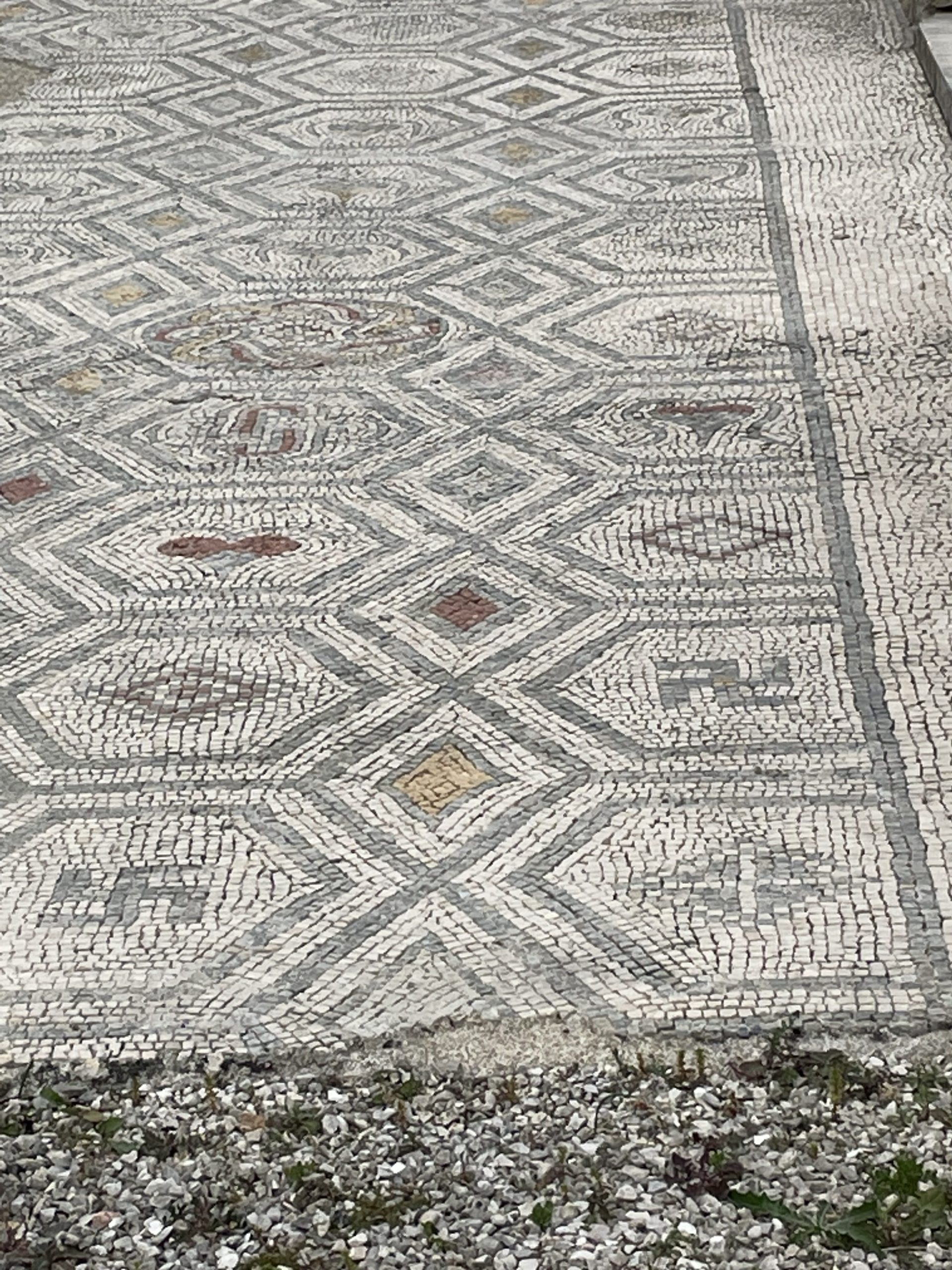
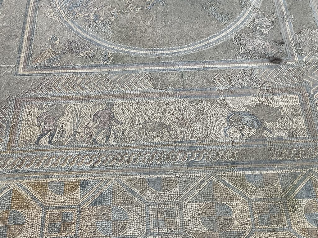

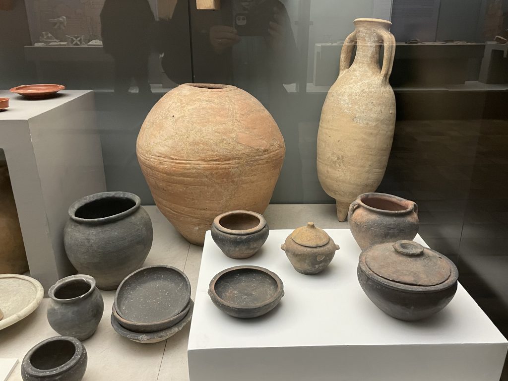
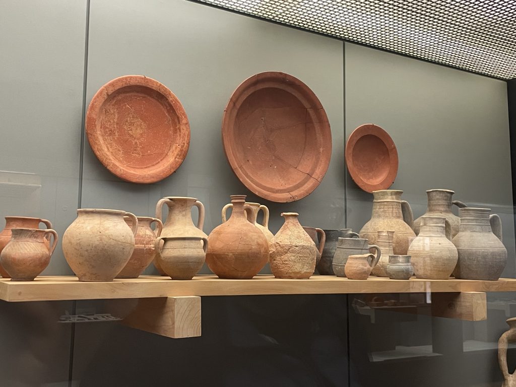
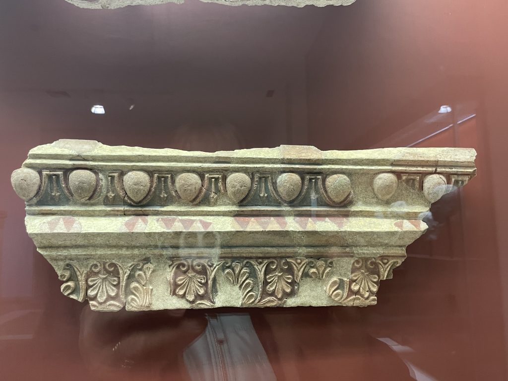
These are all 2,000 years old! Phenomenal!
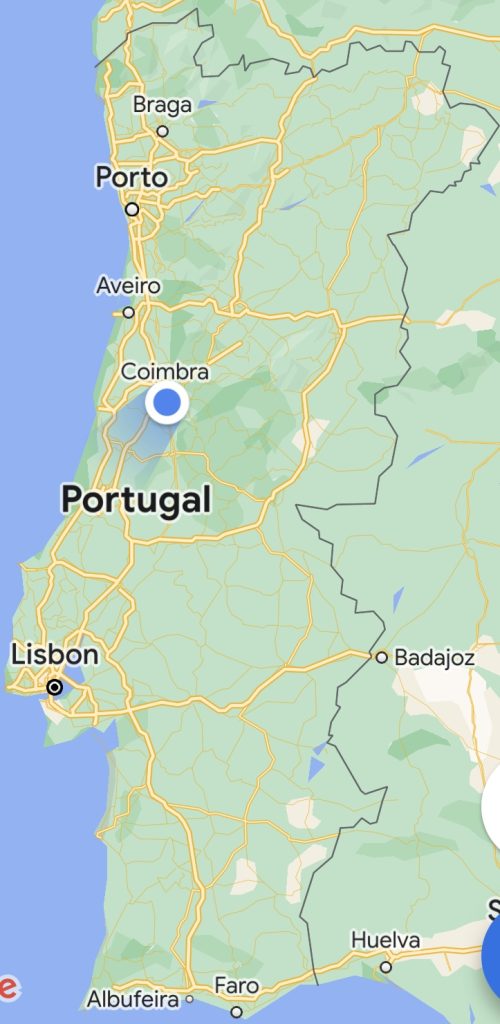
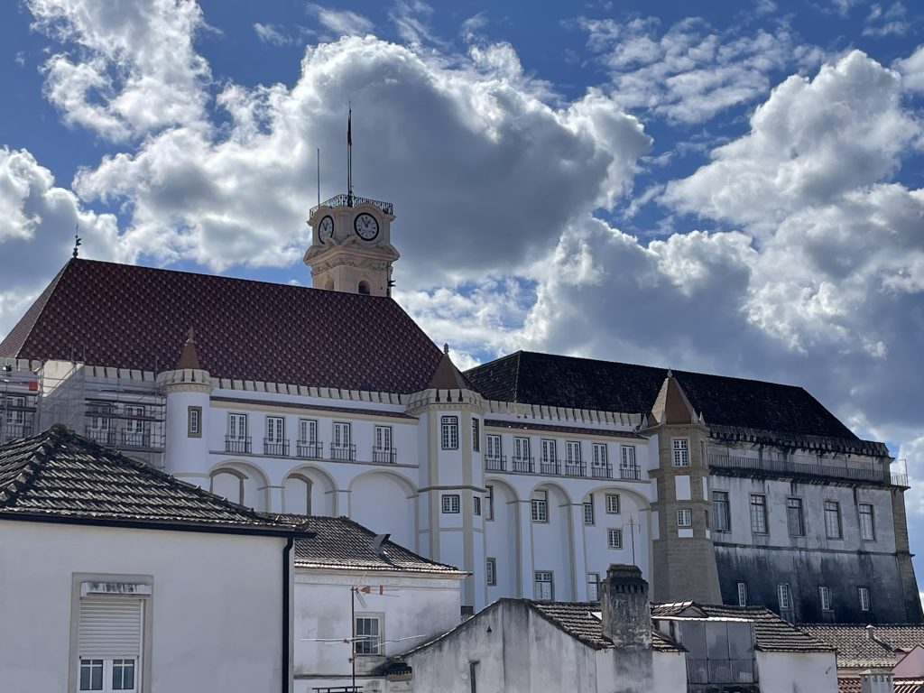
Coimbra (pronounced Queenbrough) sits on the banks of the Rio Mondego and has two parts, the lower and the upper. The top of the city is where the UNESCO-listed university is located and covers a large area, this is where the main sights are.
Coimbra was Portugal’s capital between 1139-1255, before it moved to Lisbon. The university is the oldest and most prestigious in the country.
The city is covered with steep cobbled lanes and alleys, where small electric buses hurtle down. The city is also renowned for guitar playing and Fado music and singing.
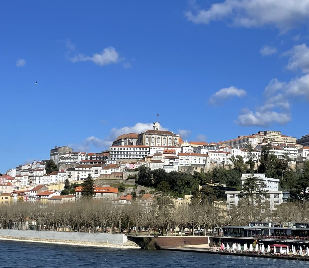
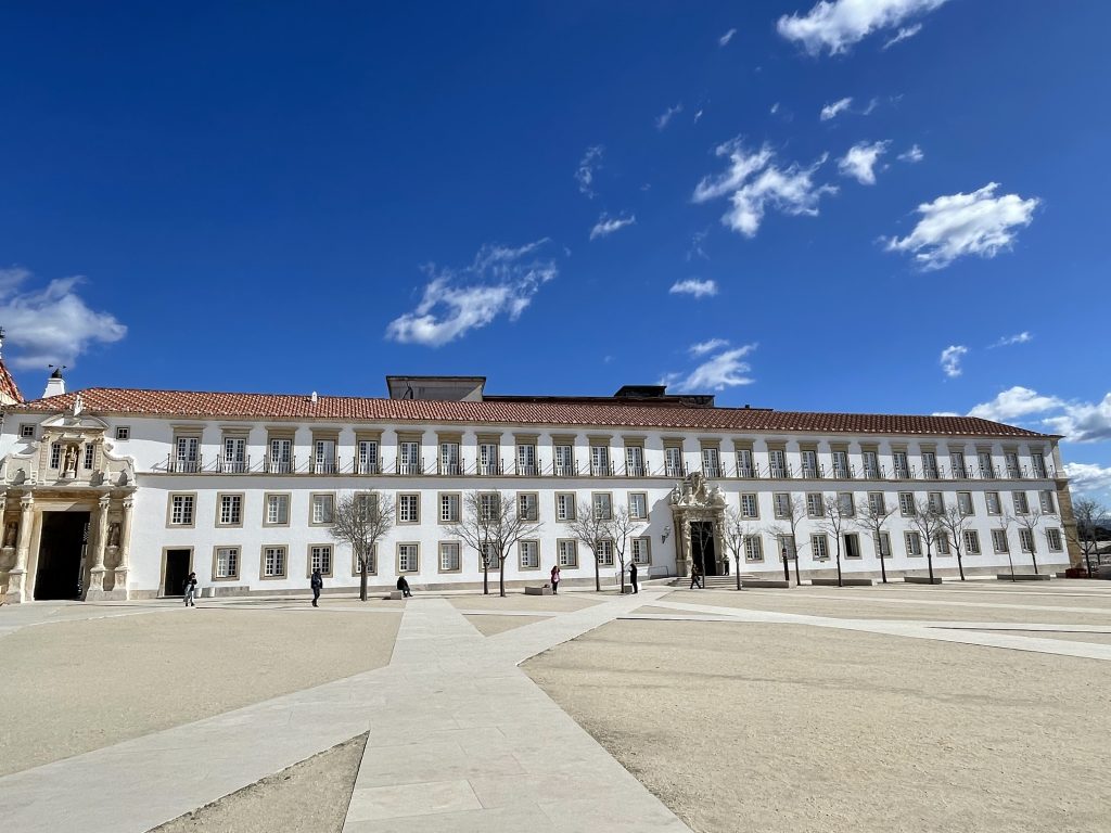
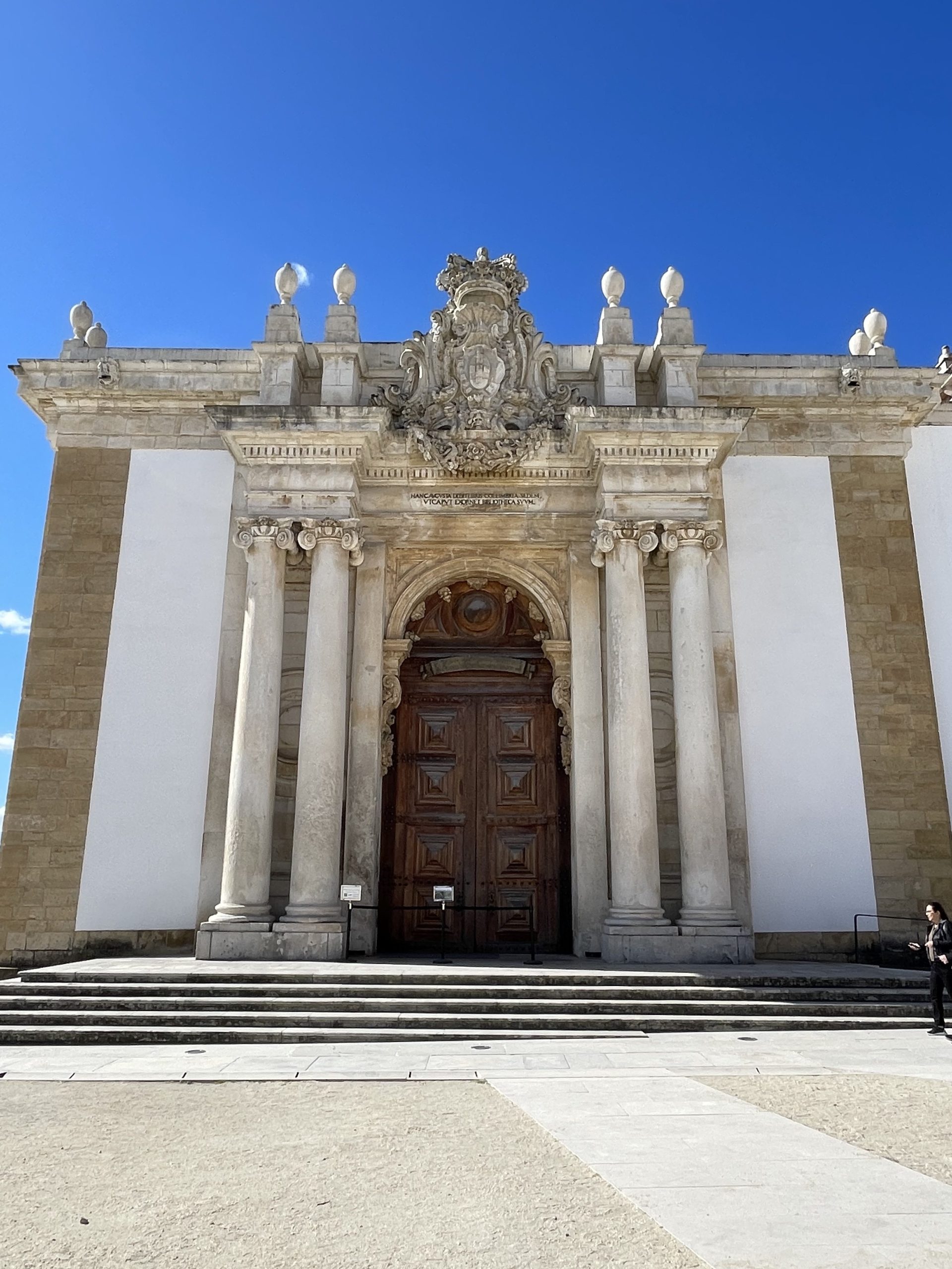
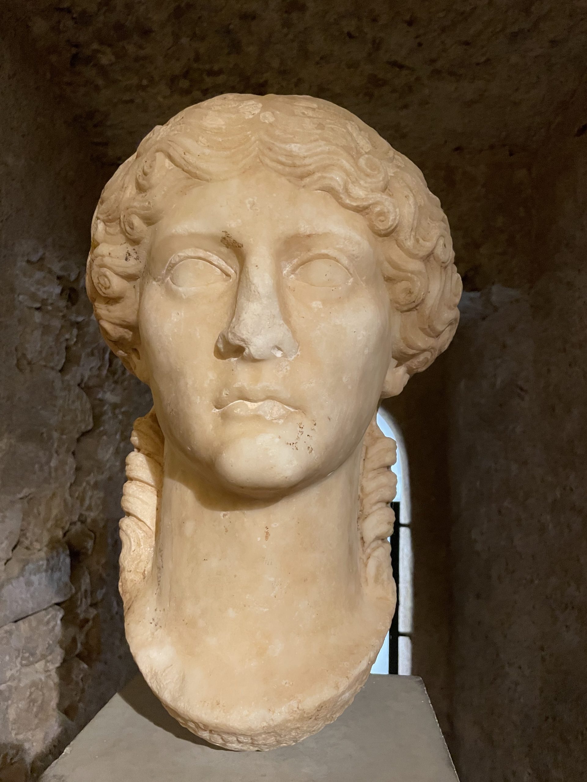
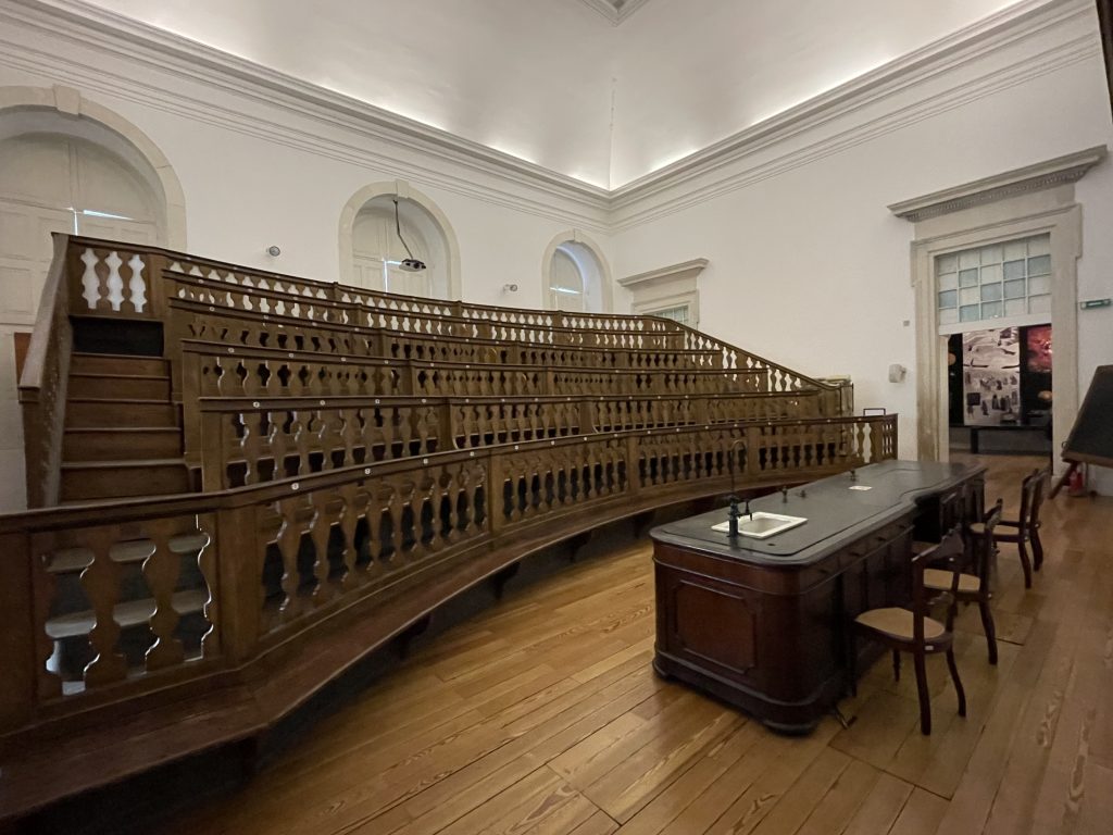
Patio das Escolas – a vast square surrounded by 16th-18th century buildings: the Biblioteca Joanina, Capella de Sao Miguel, Torre de Universidade, Paco das Escolas – housed in a former royal palace.

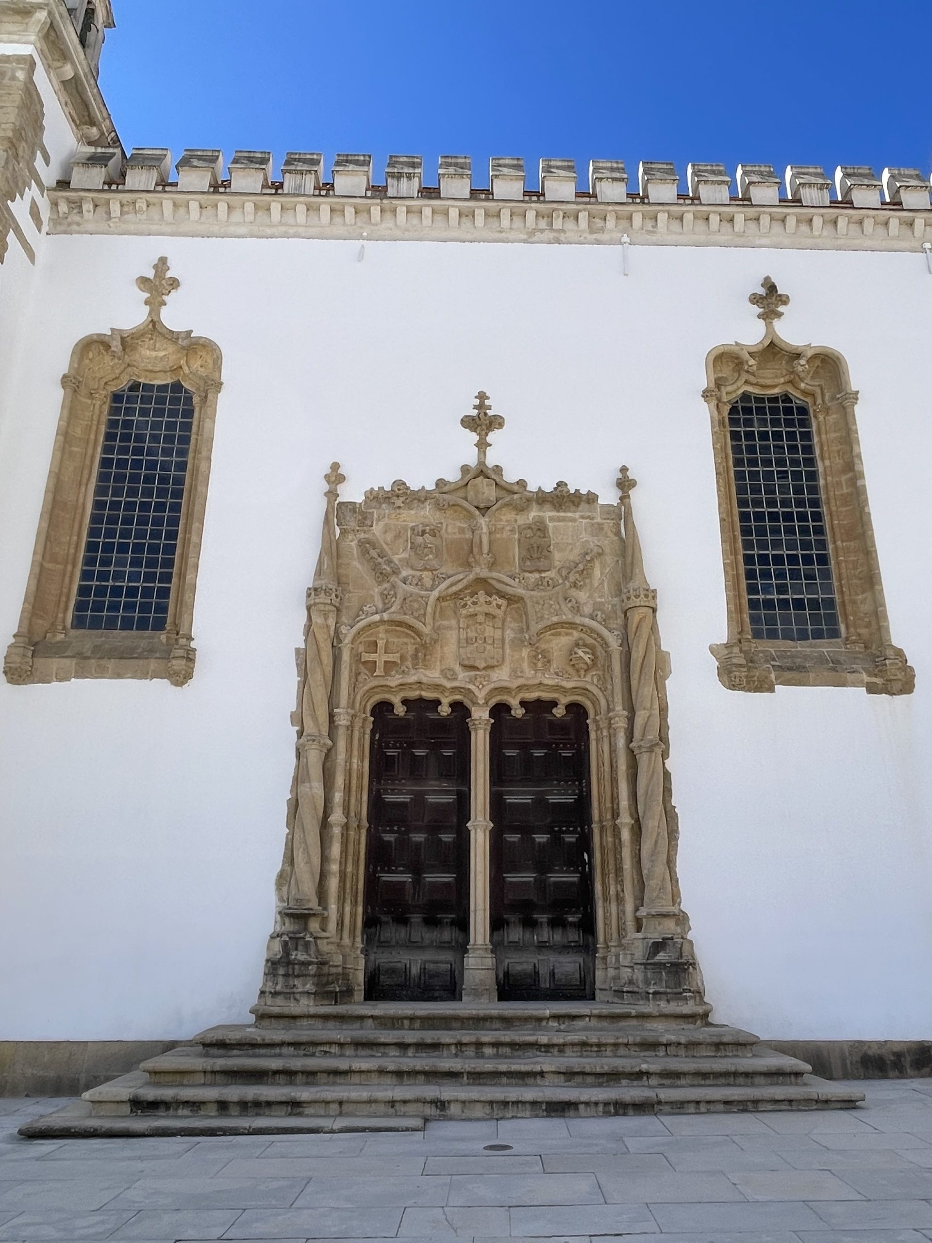


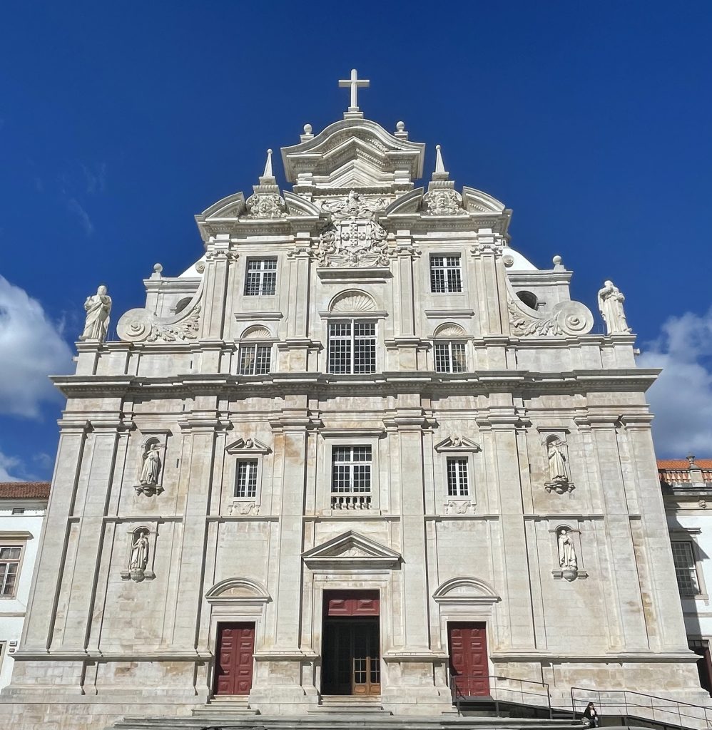
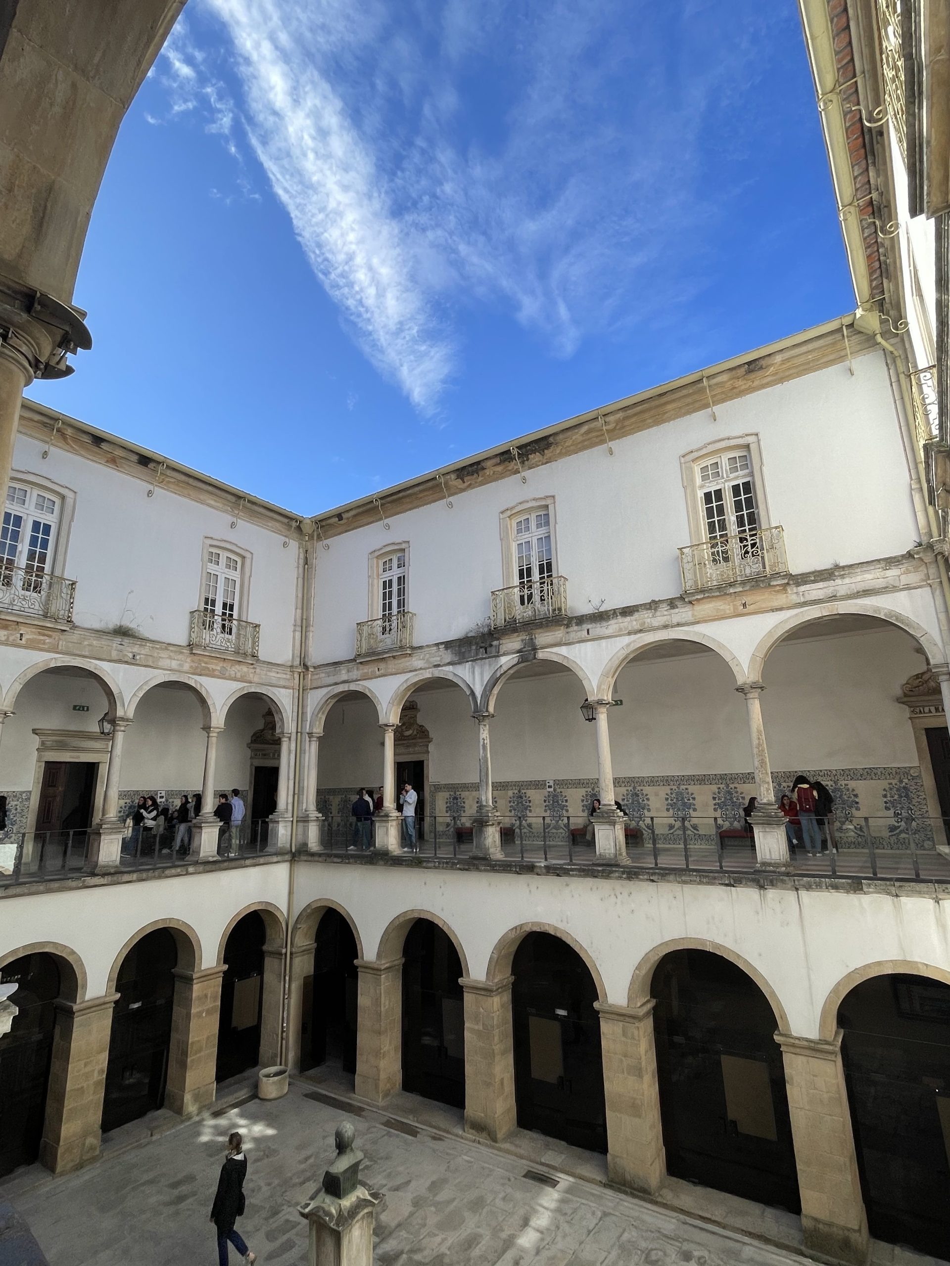
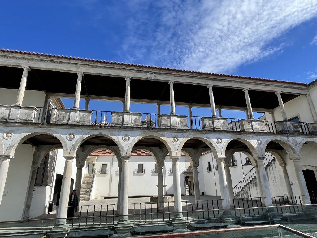
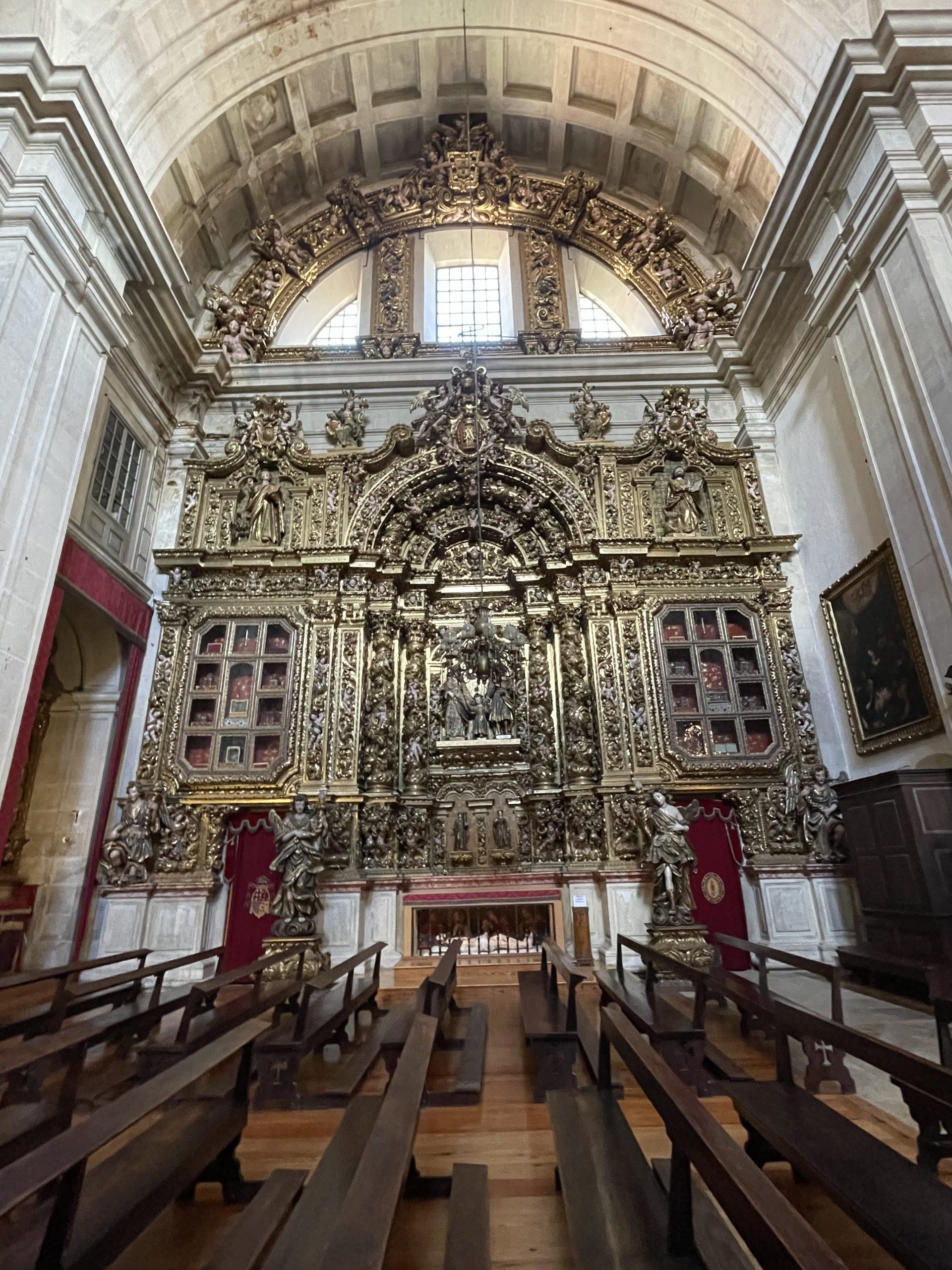
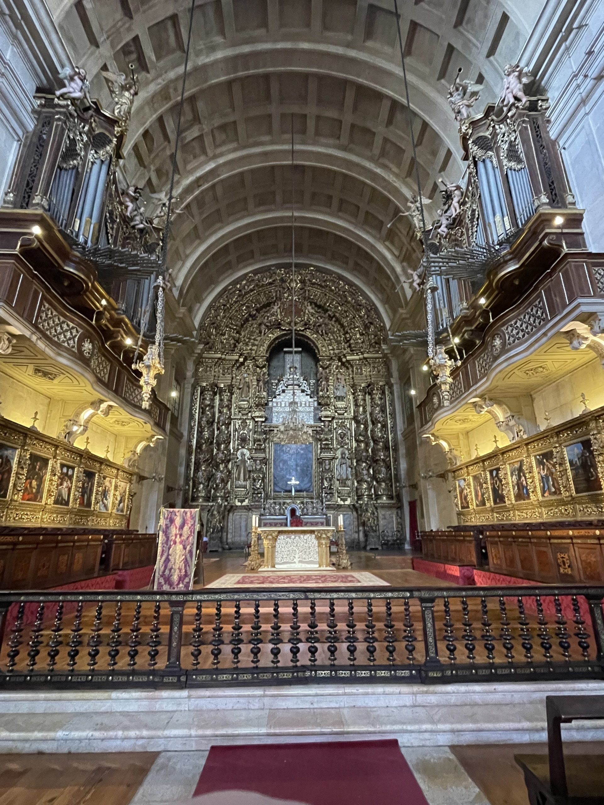
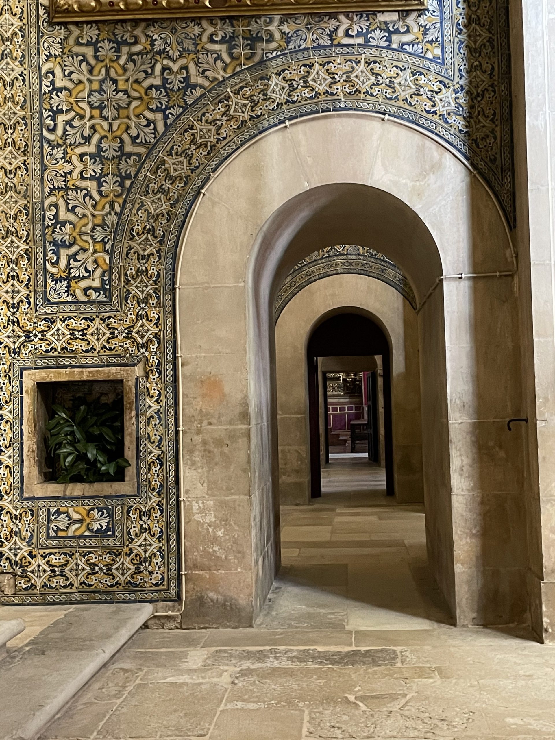
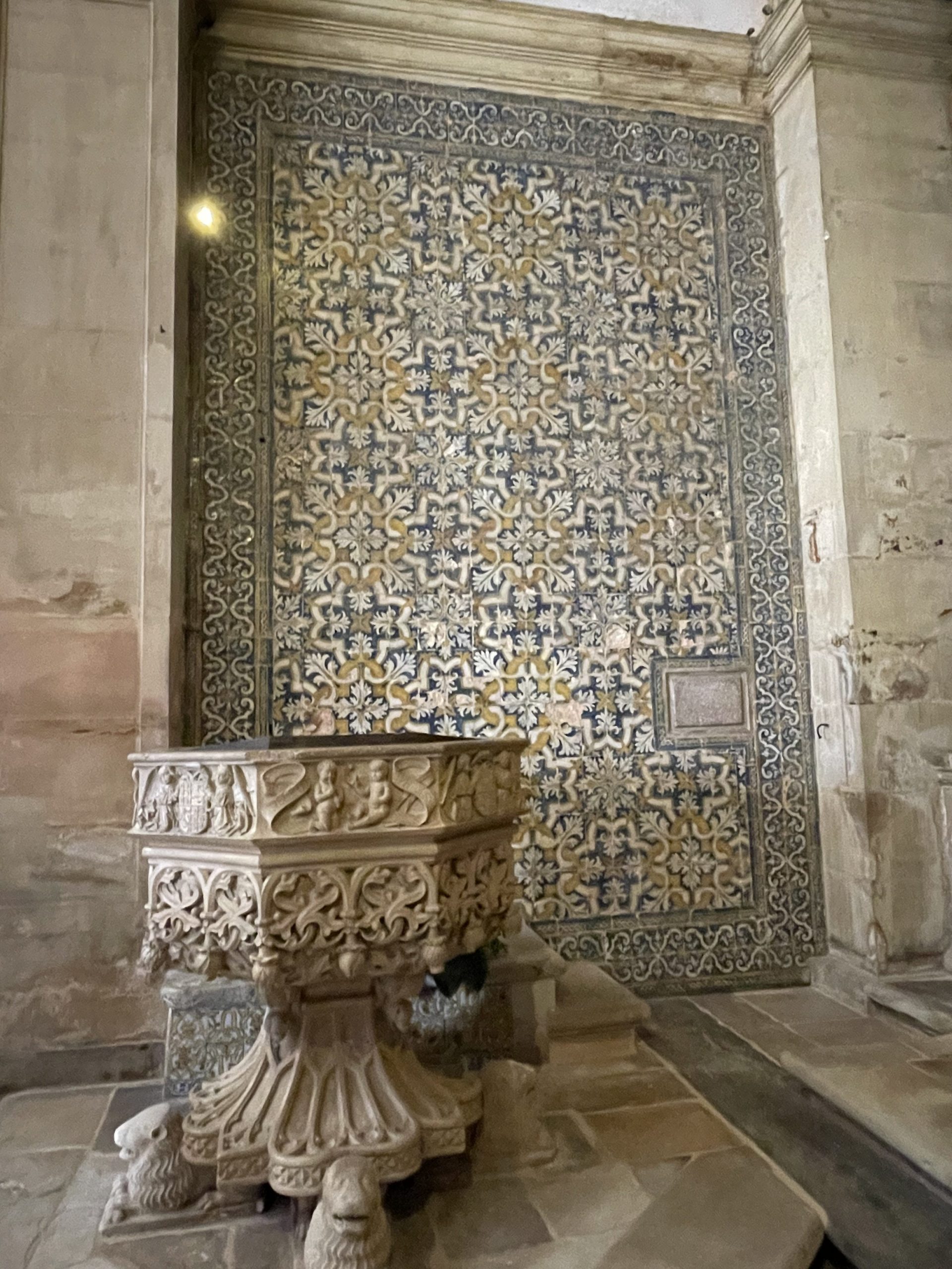
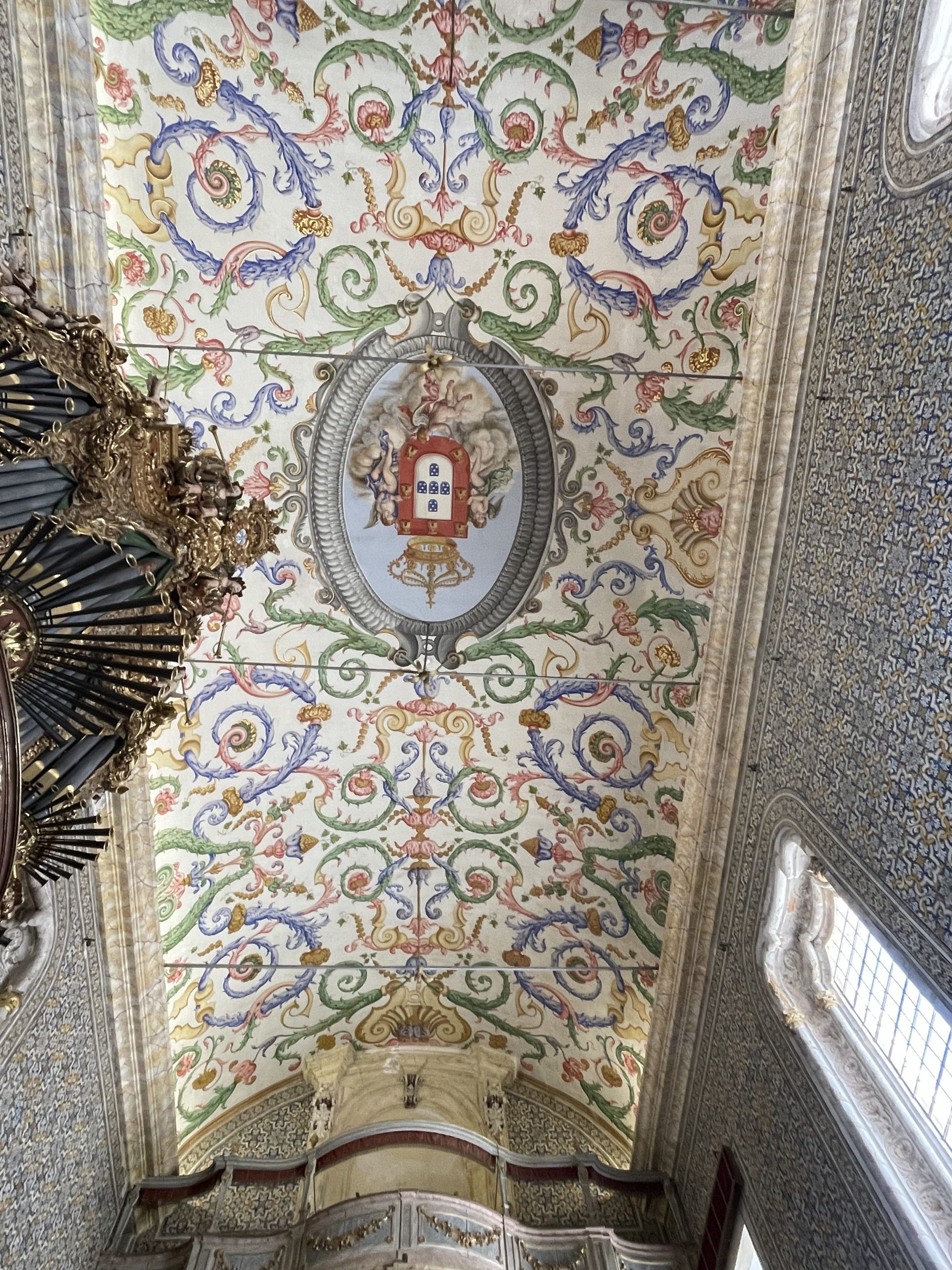
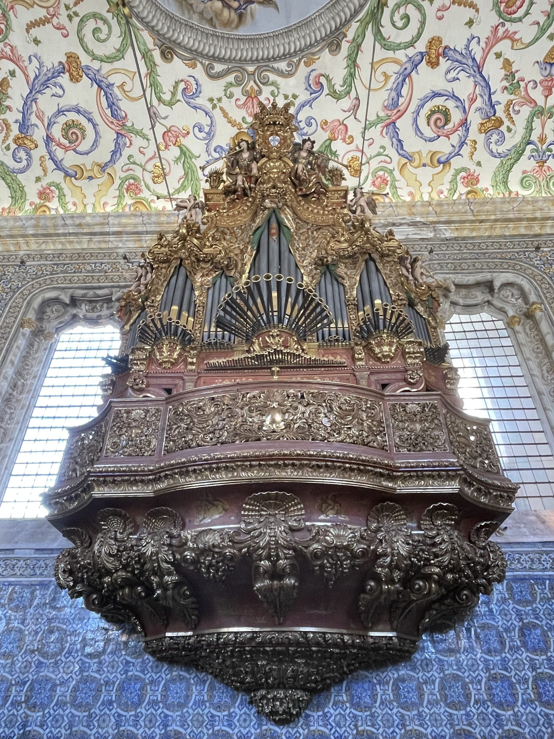

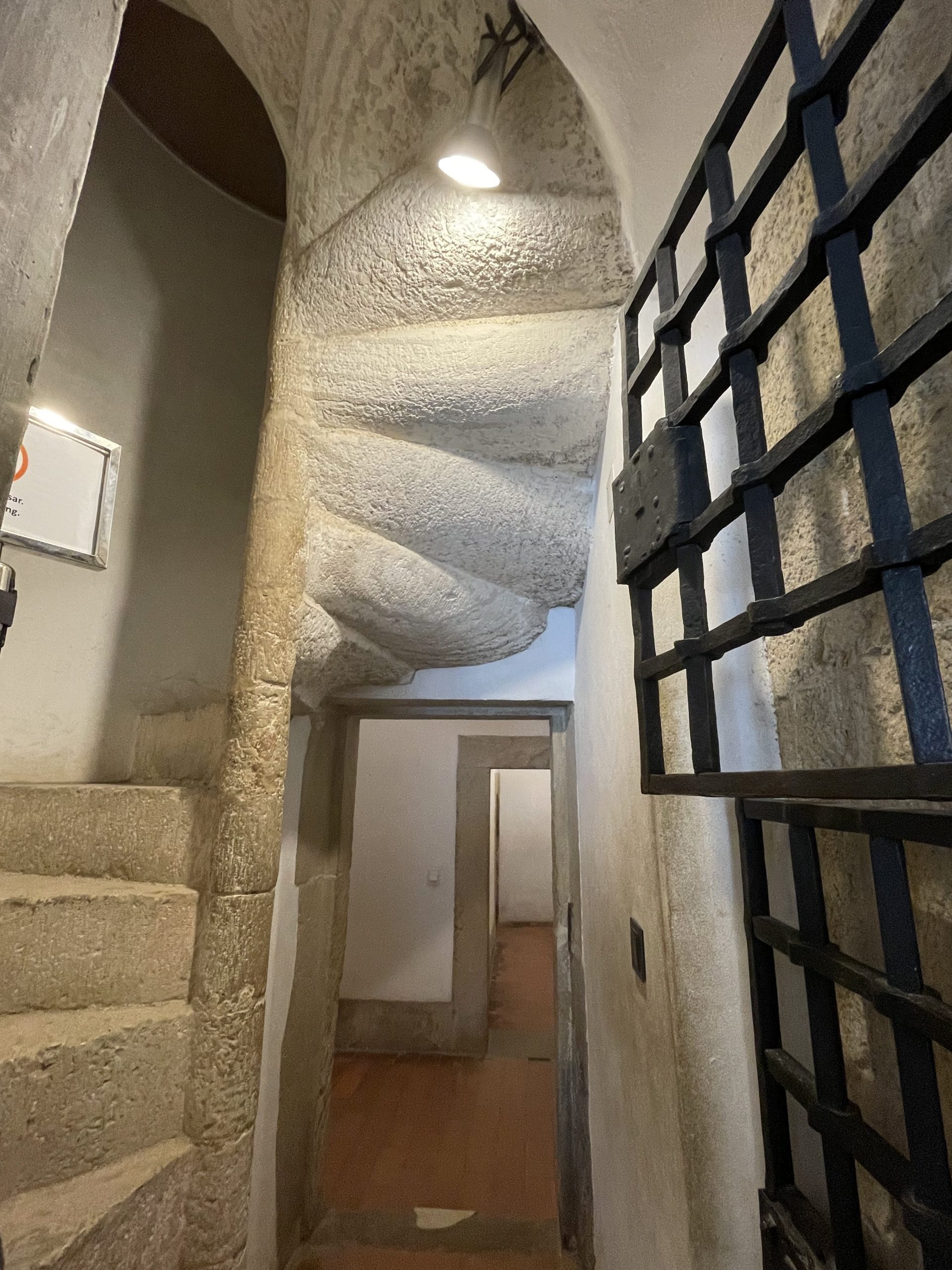
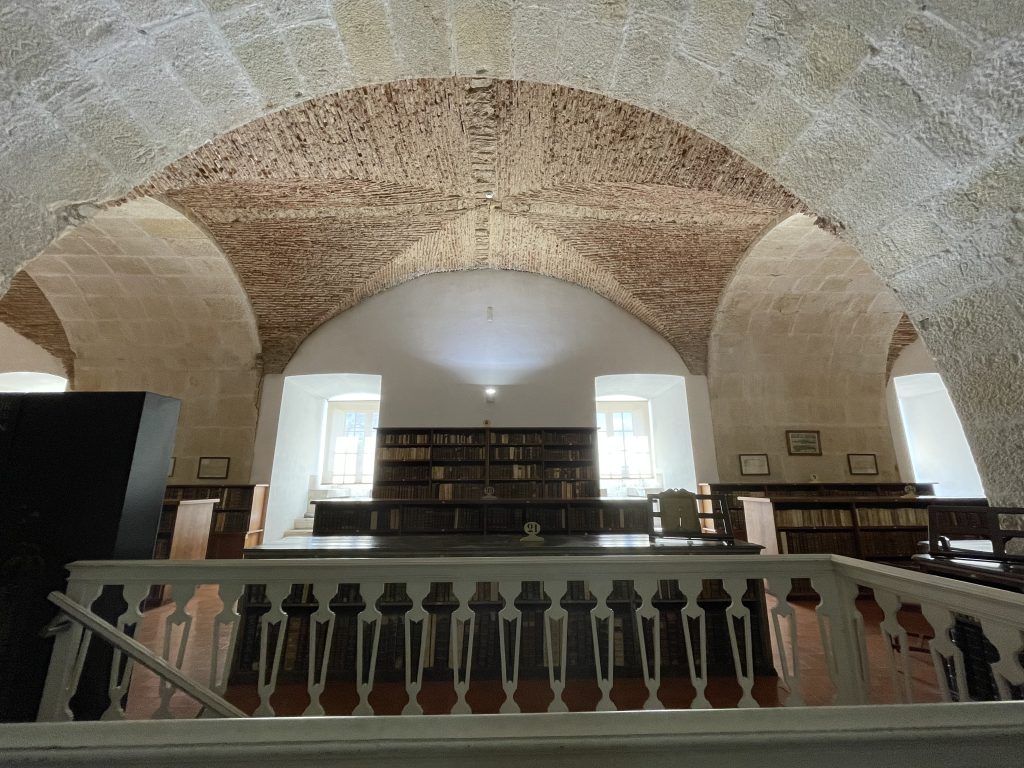

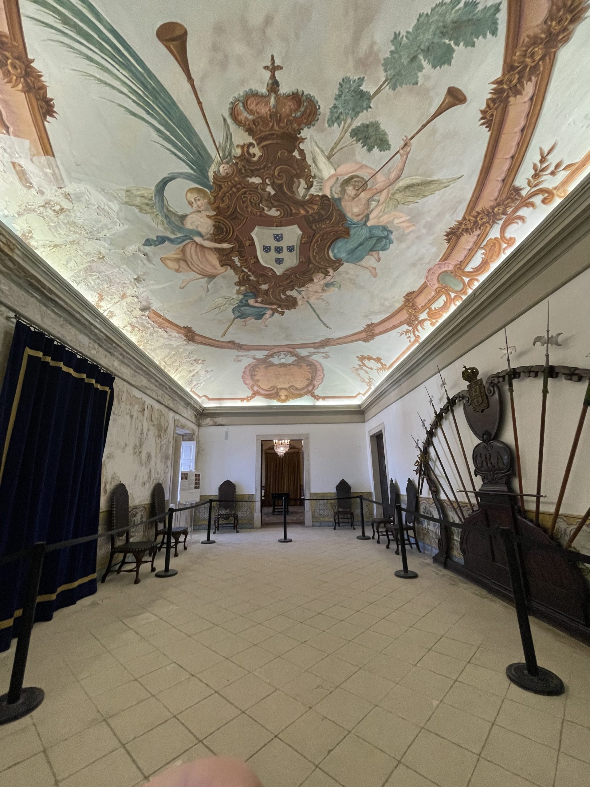
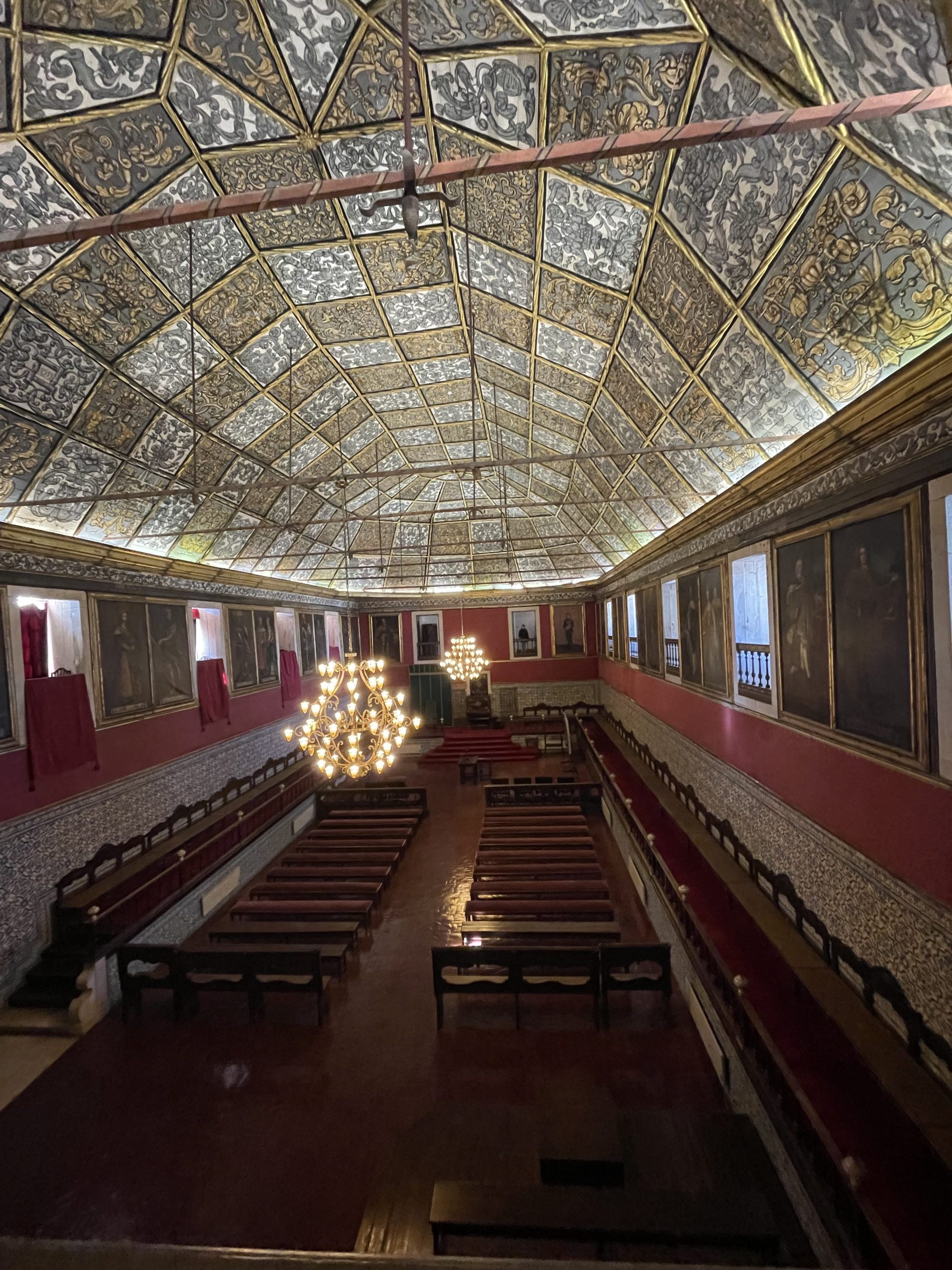
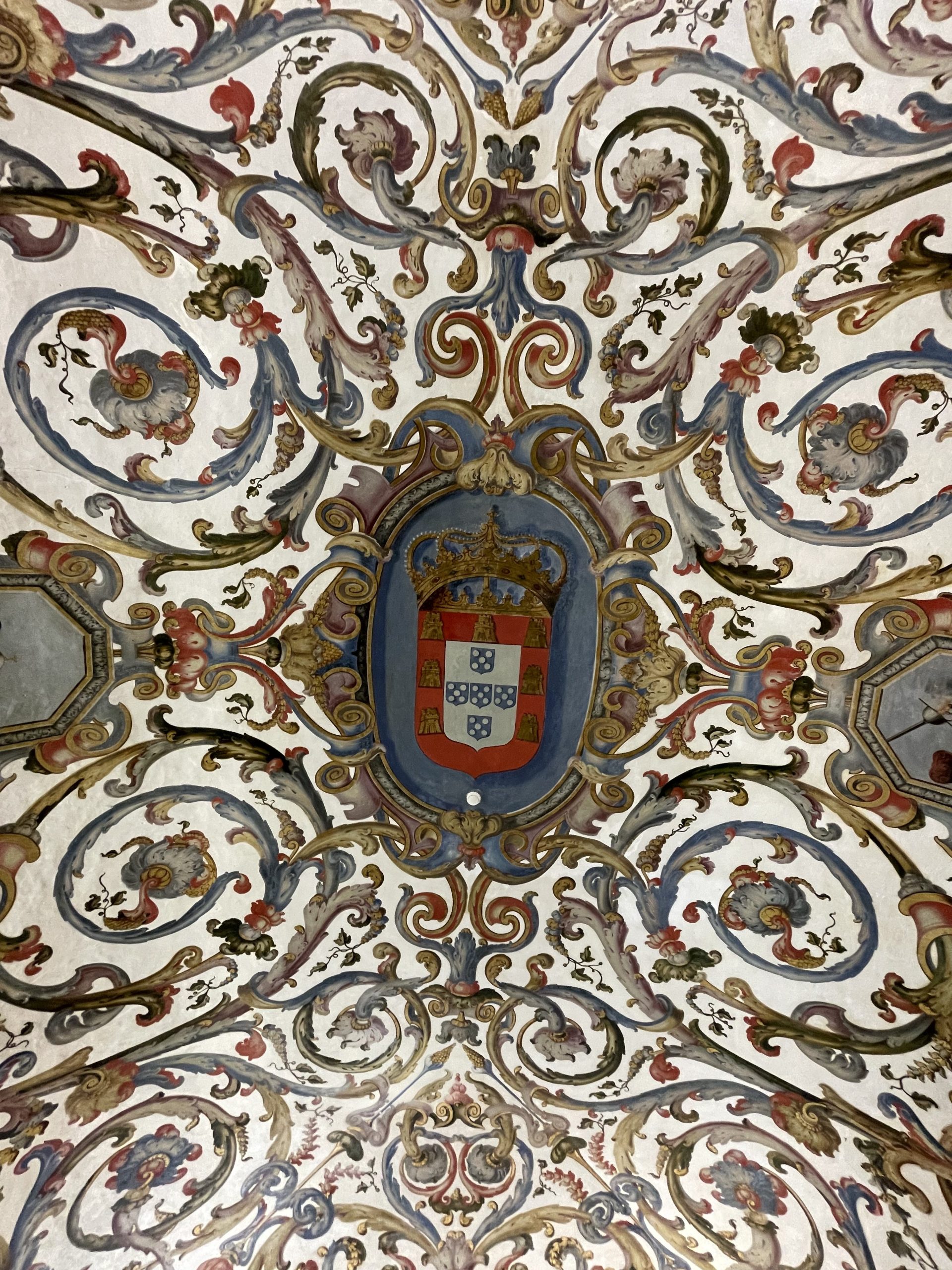
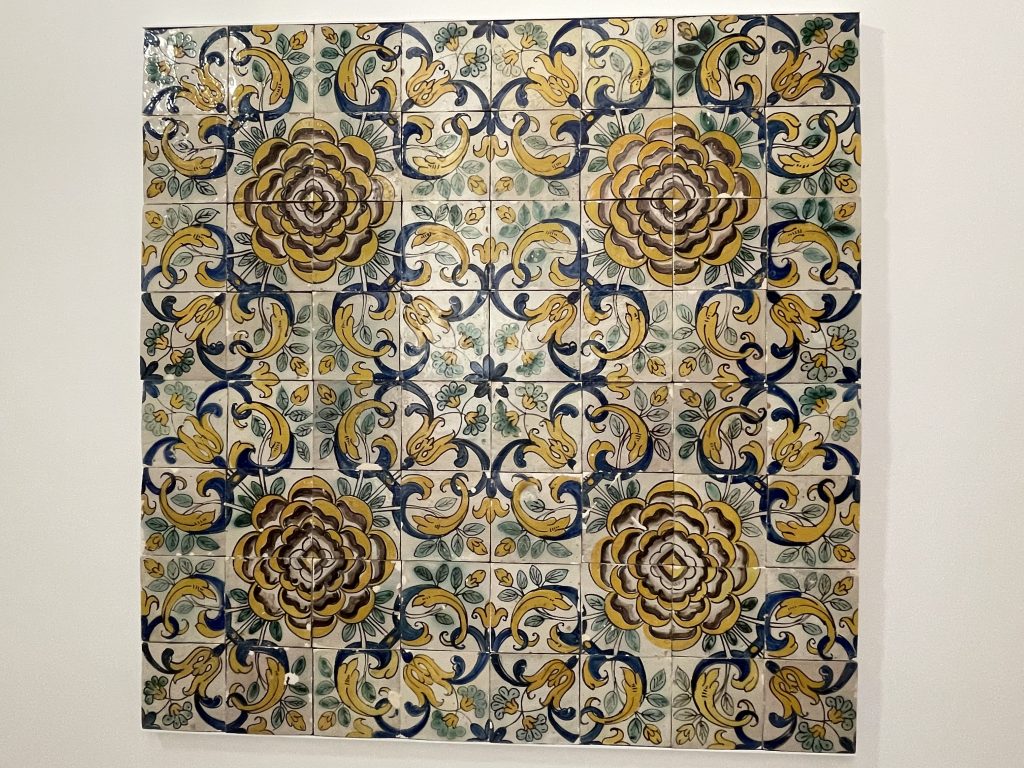
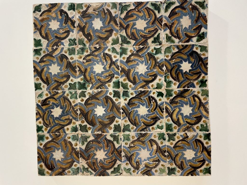
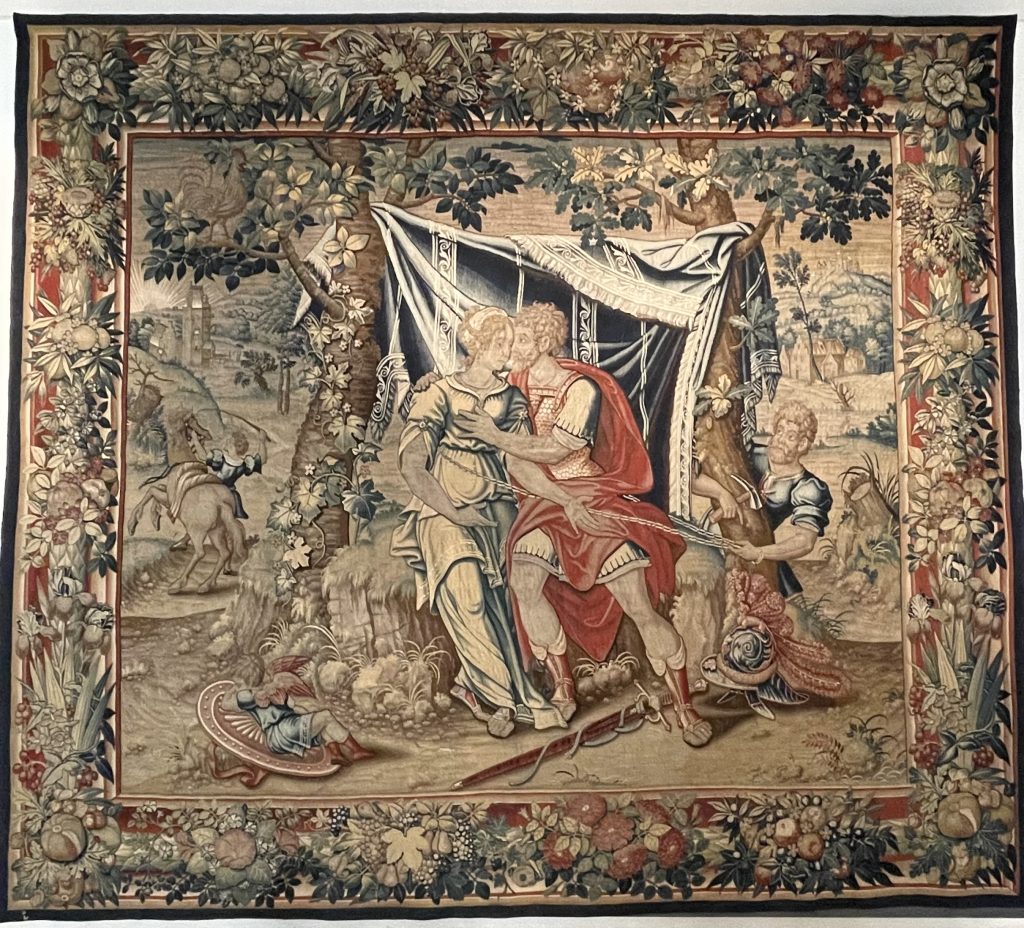
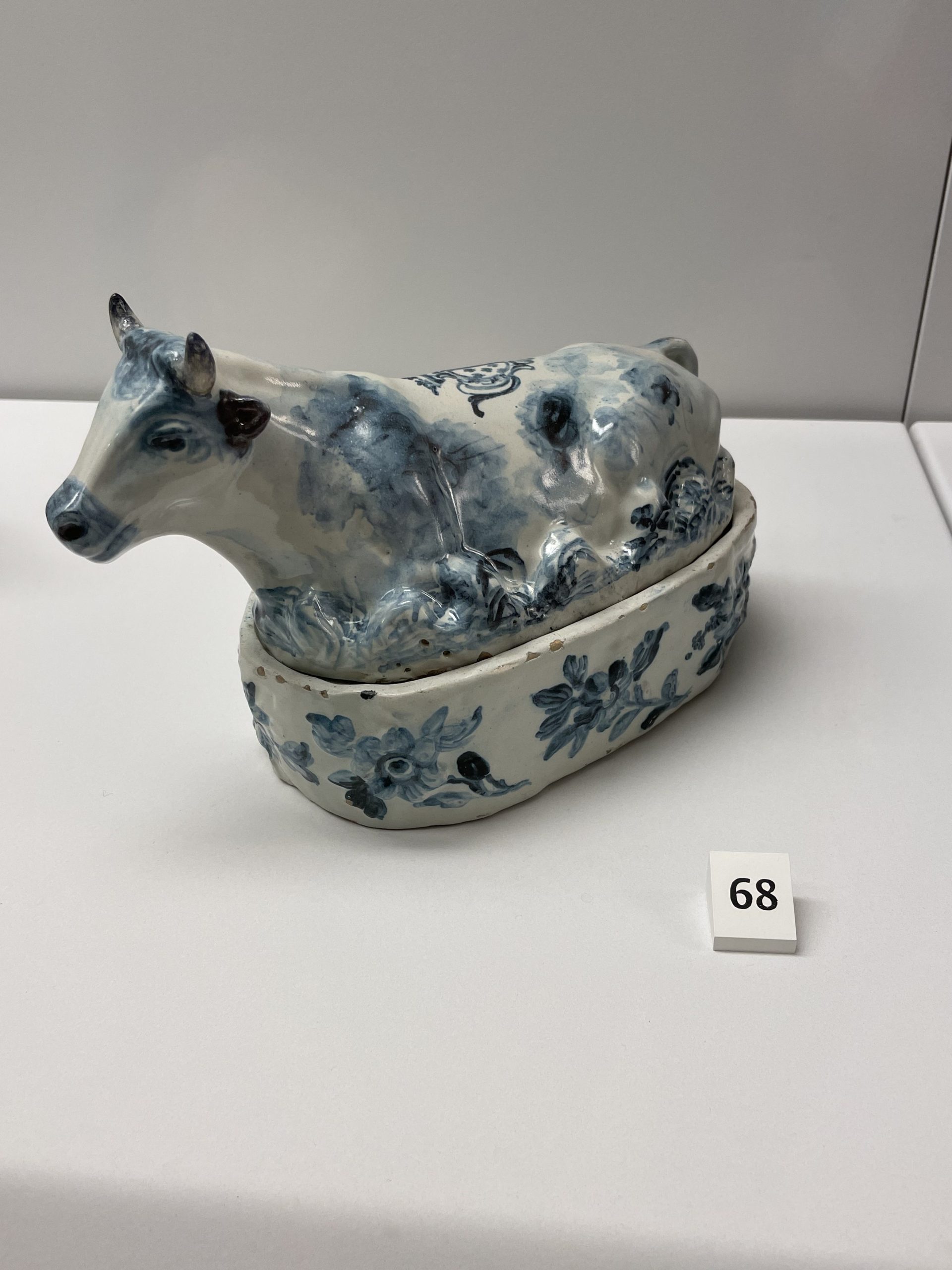
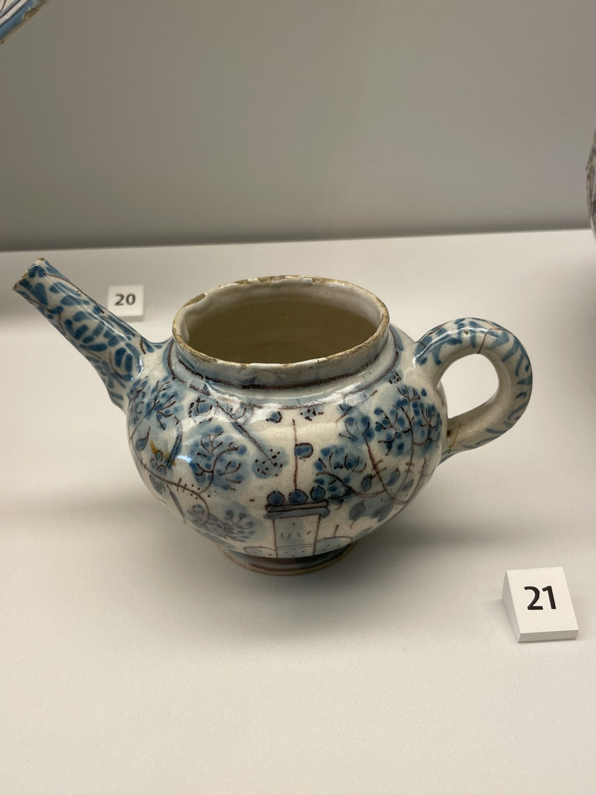
Tiles from 1500-1600


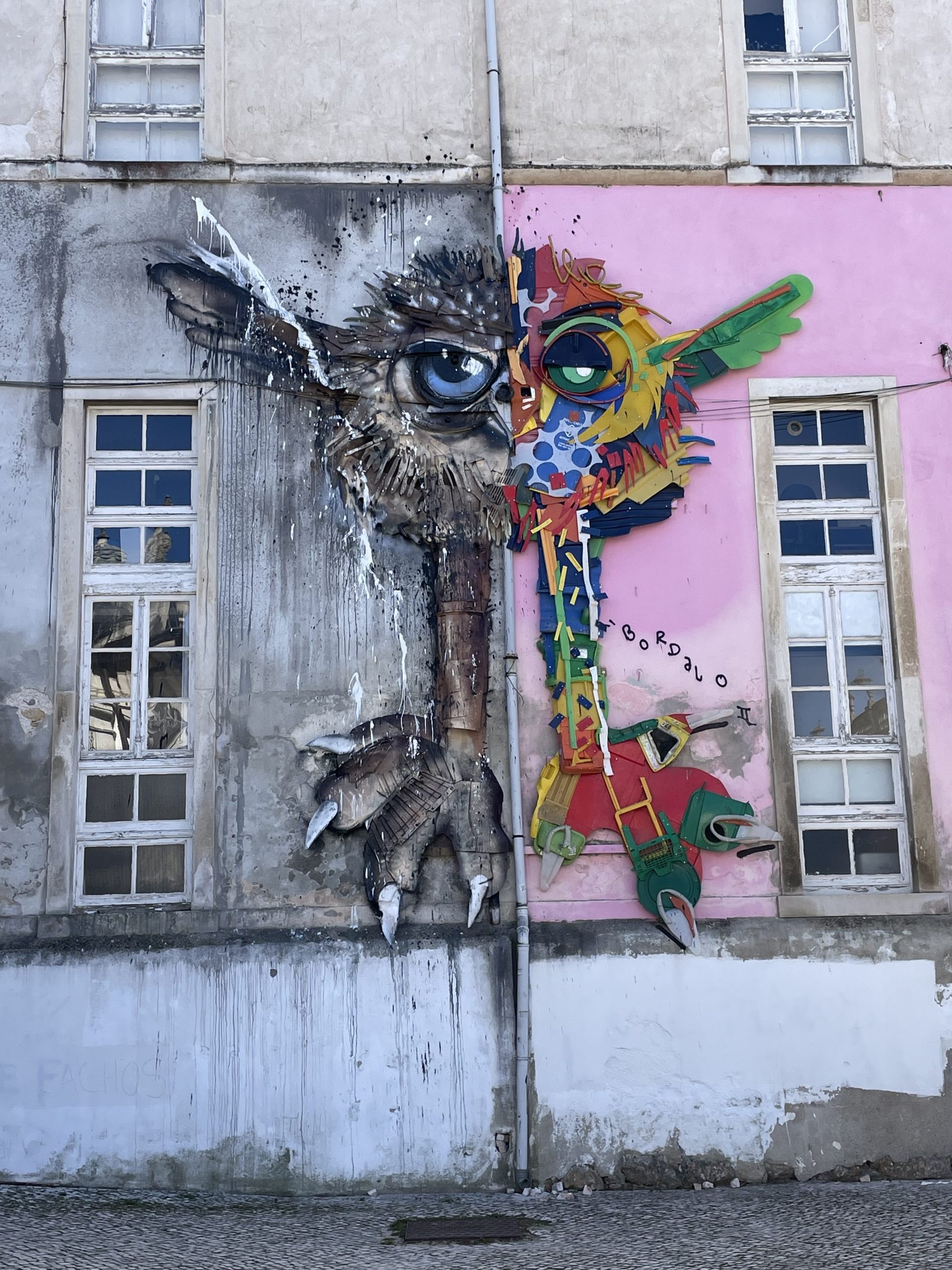


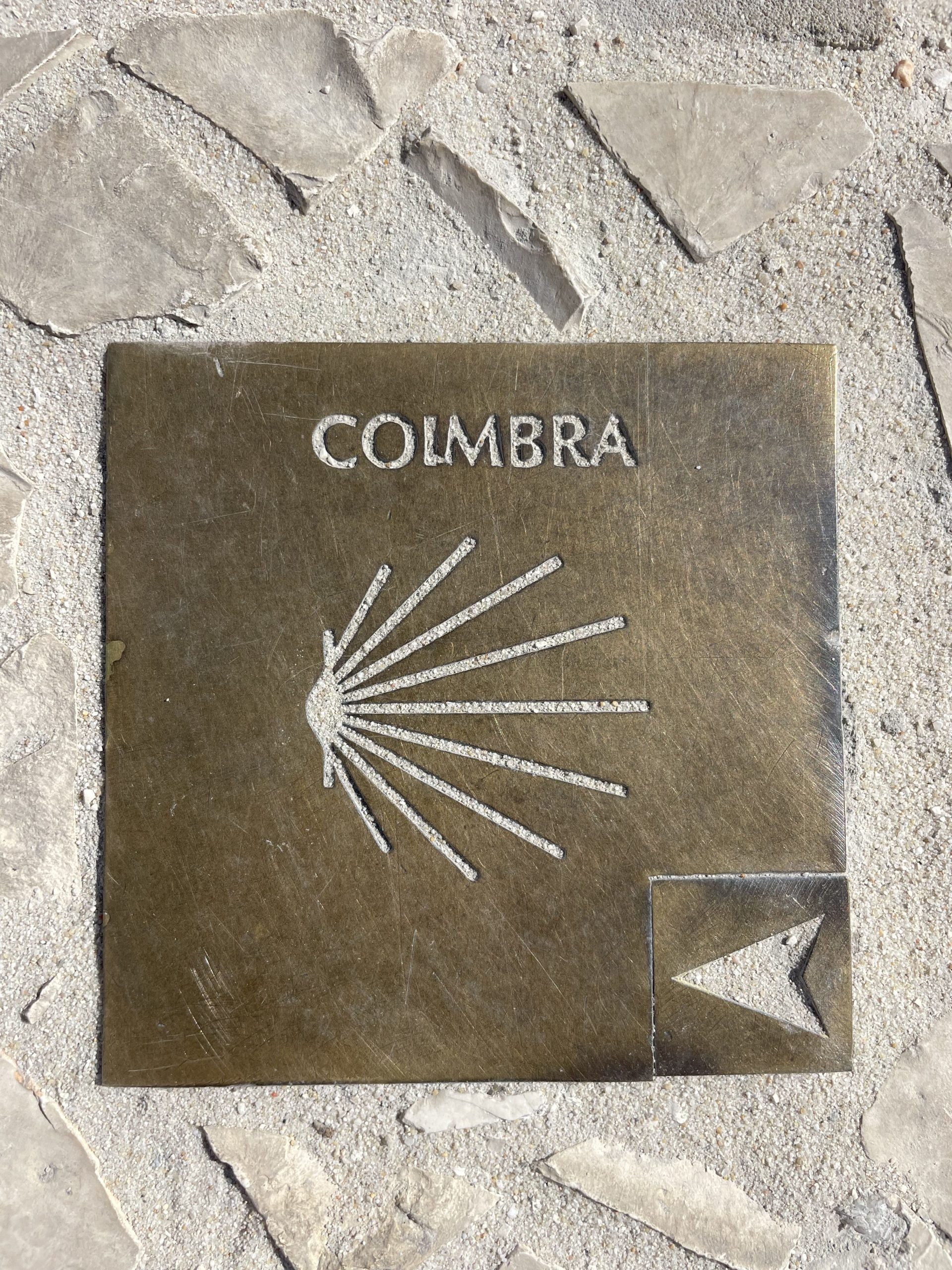
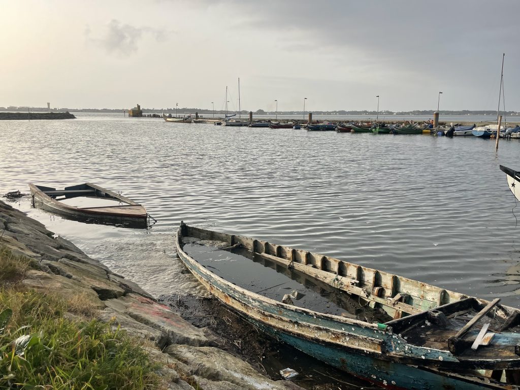
LAGOON
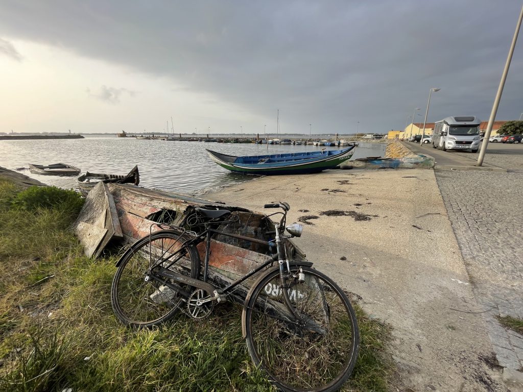
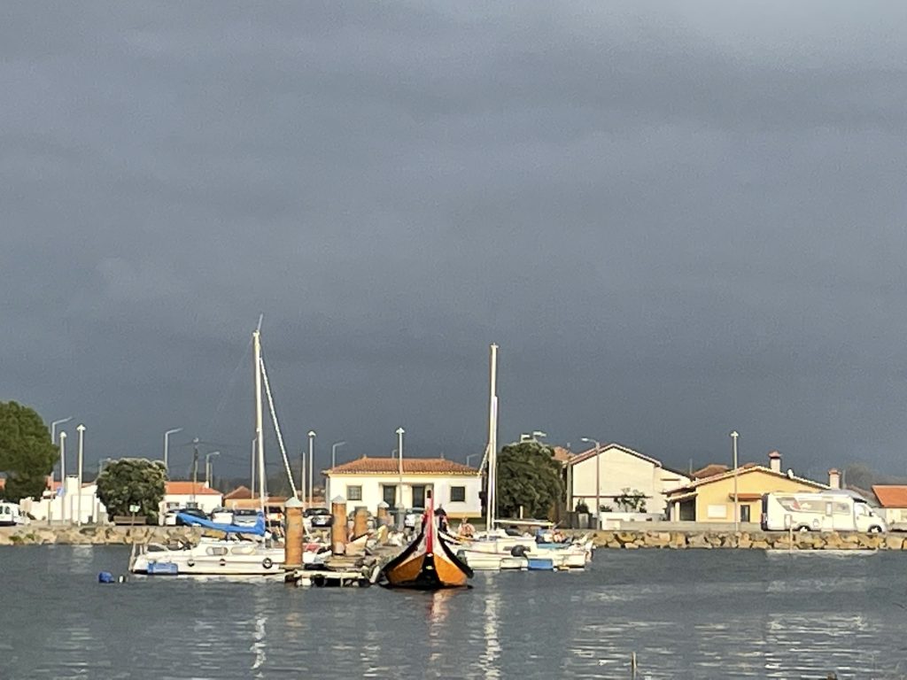

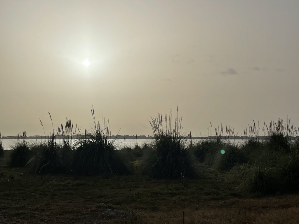
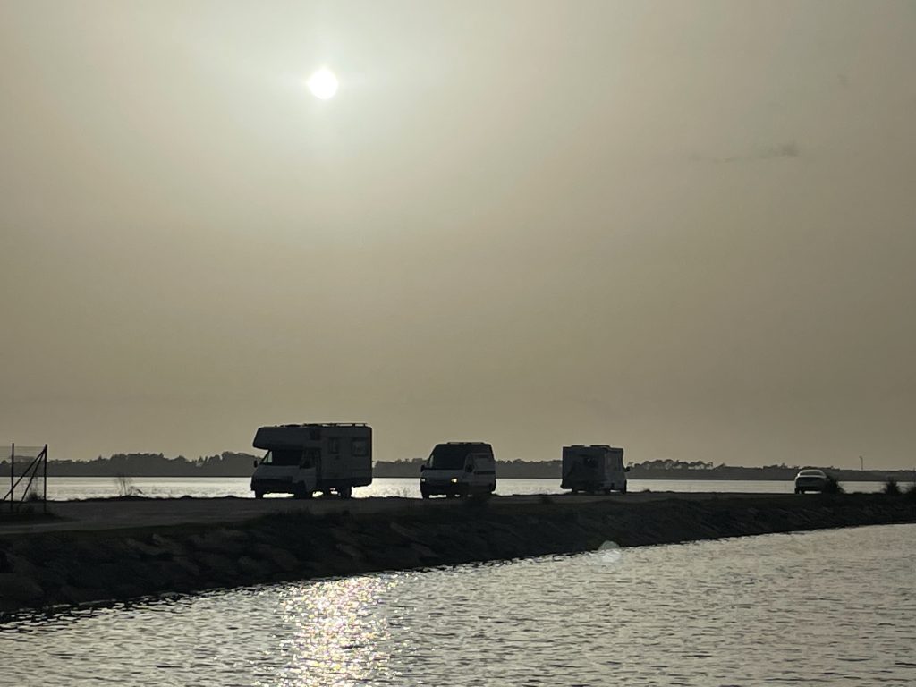
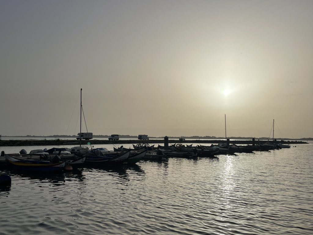
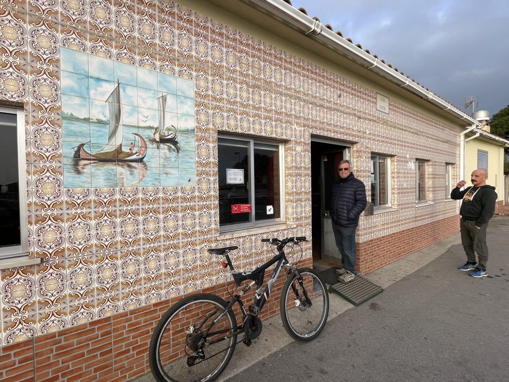
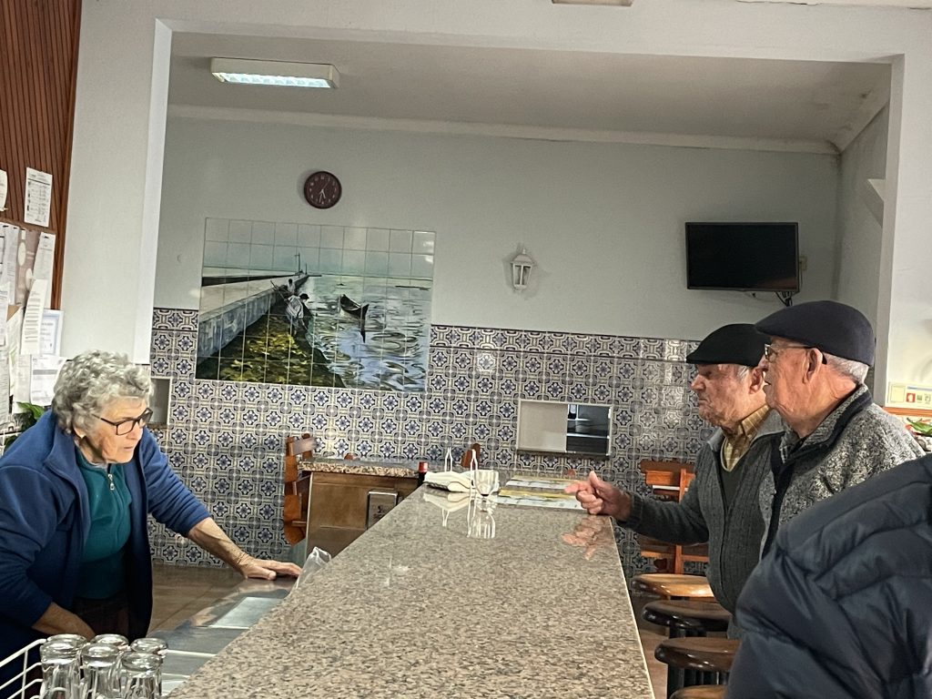

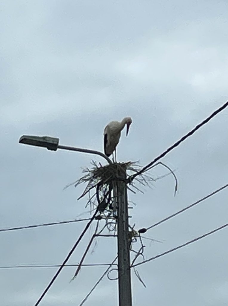
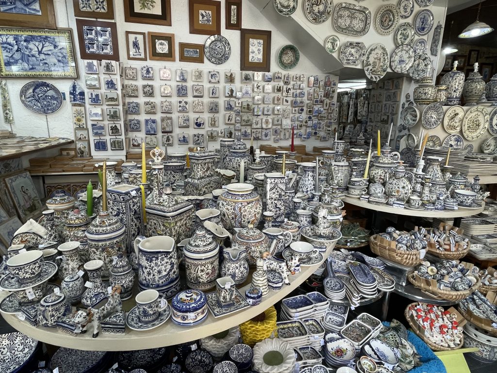
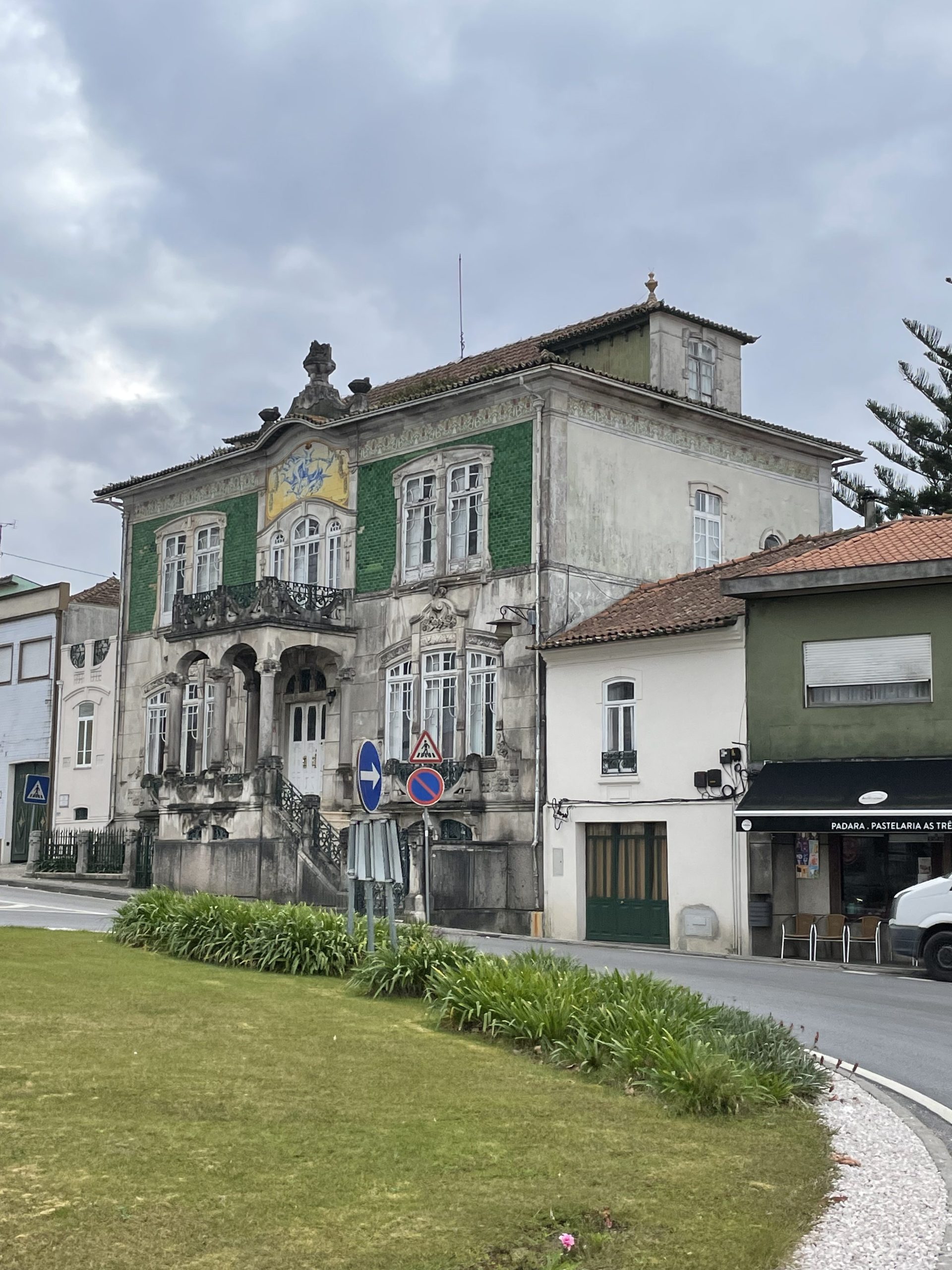
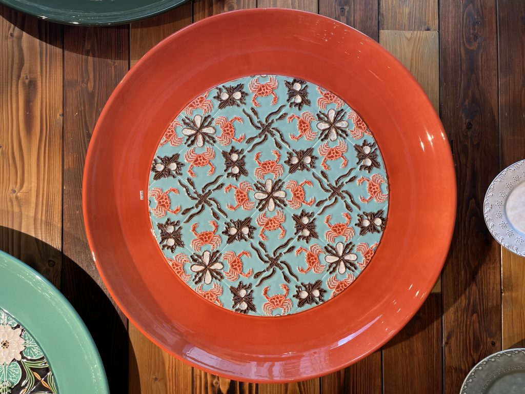
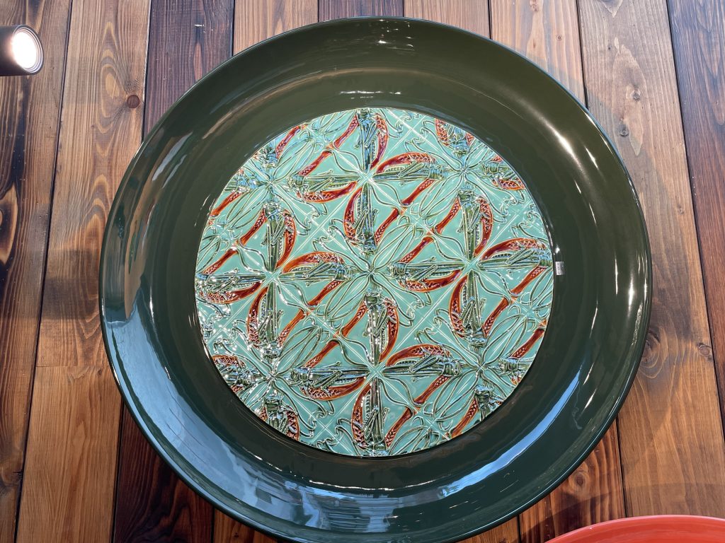
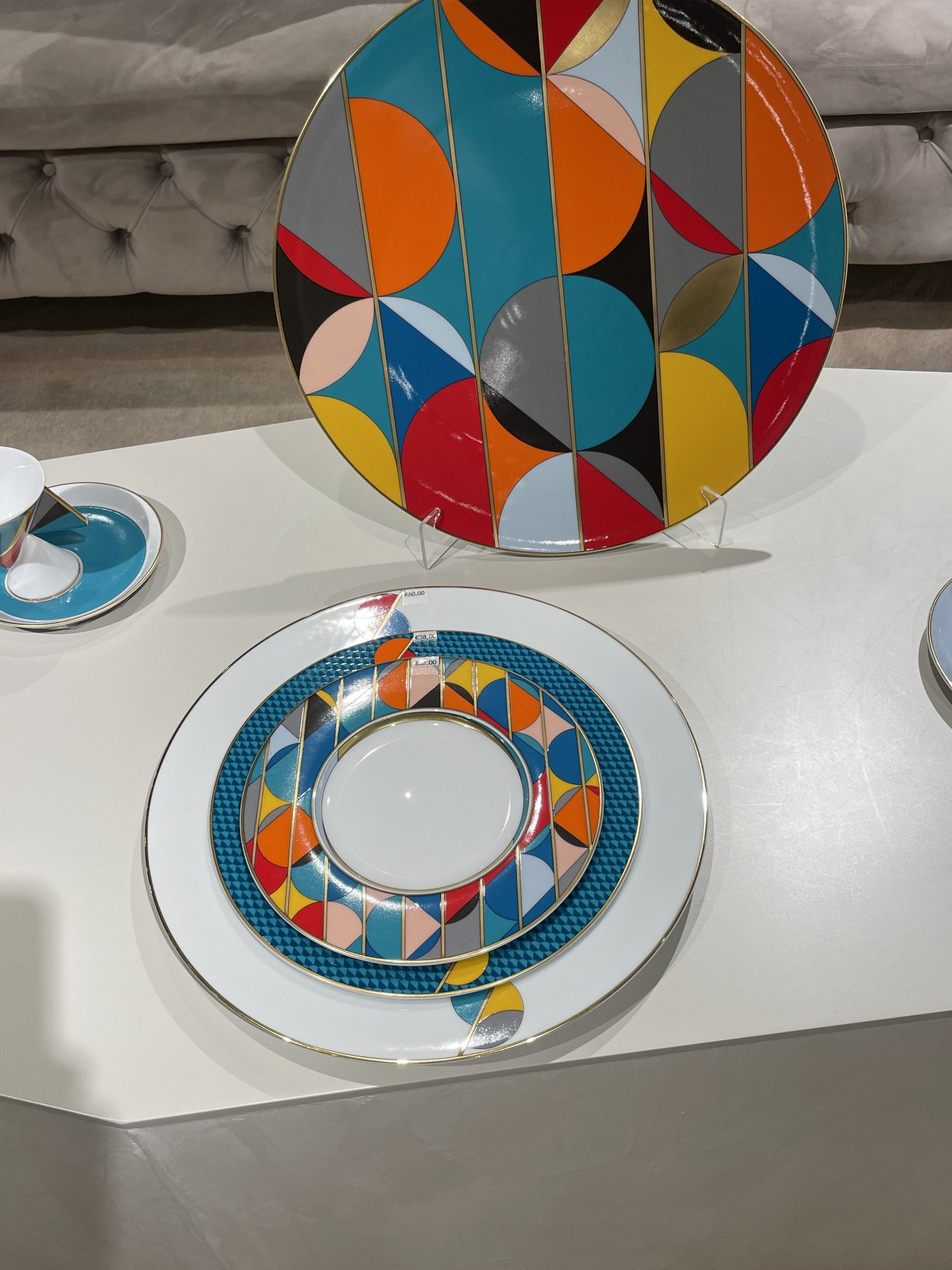
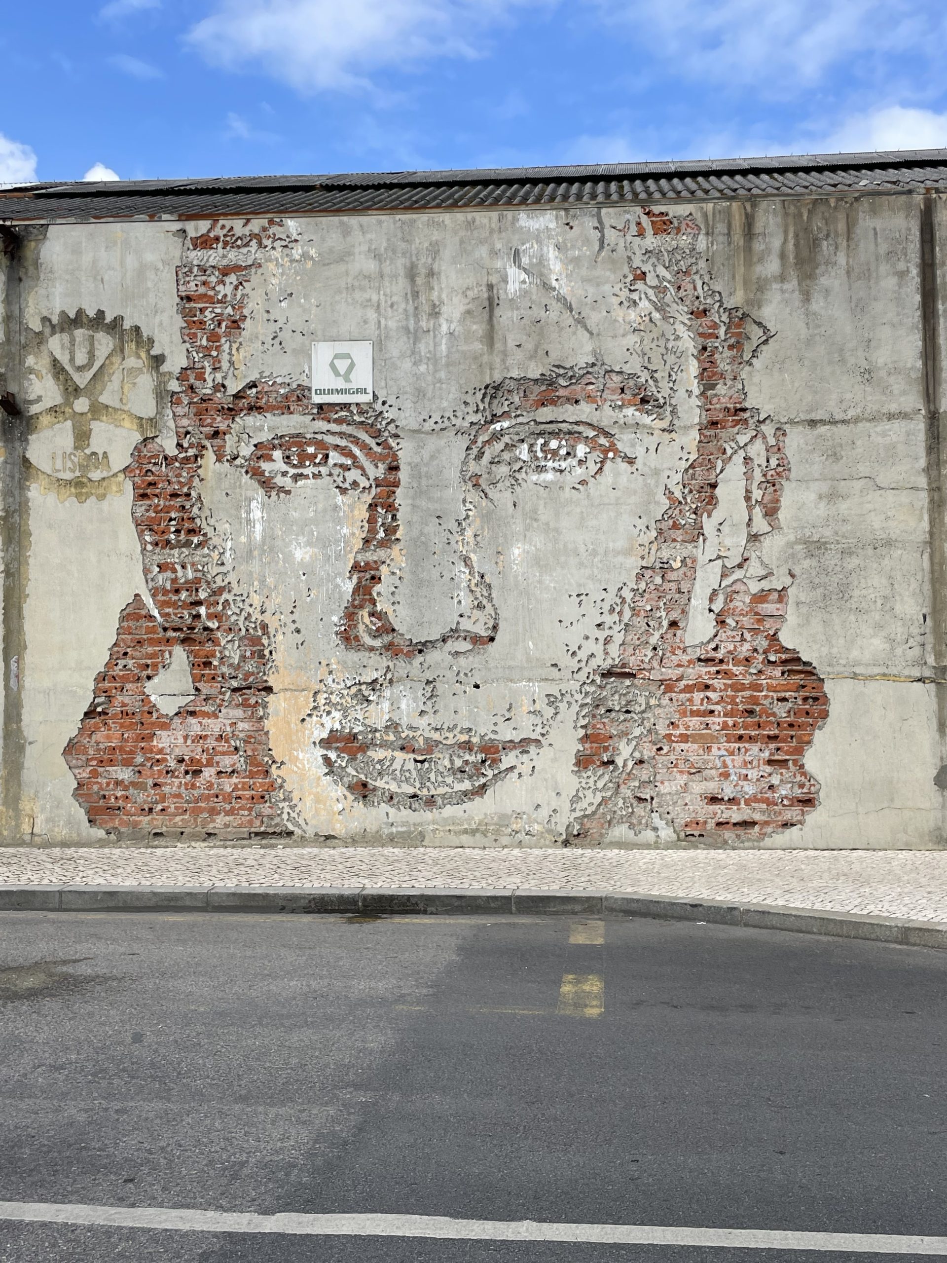
AVEIRO TOWN famous for its seaweed harvest, ceramics and associated tourism.

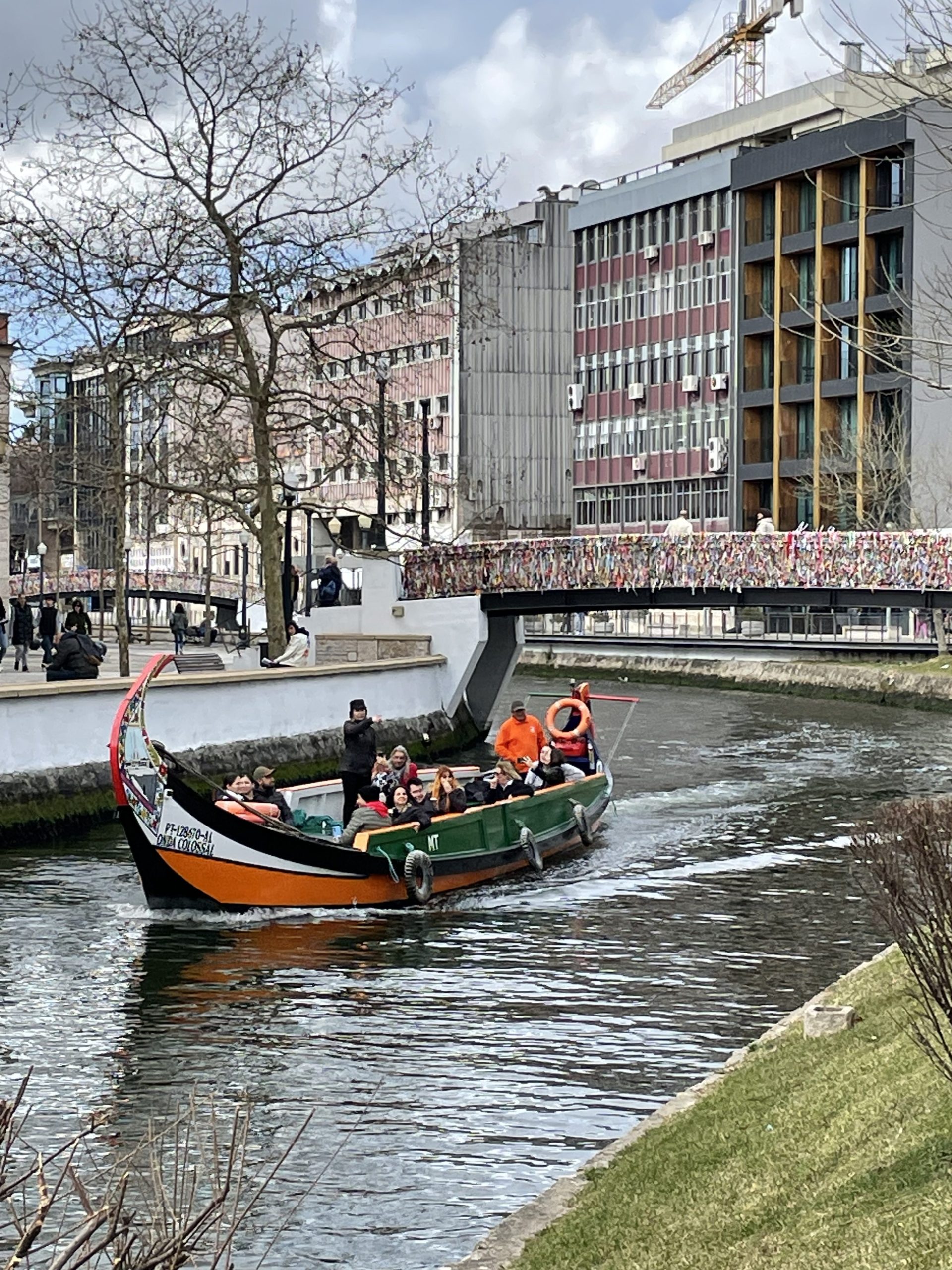
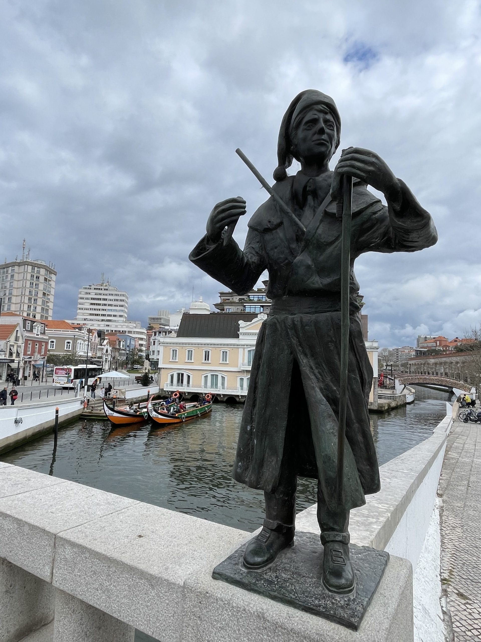
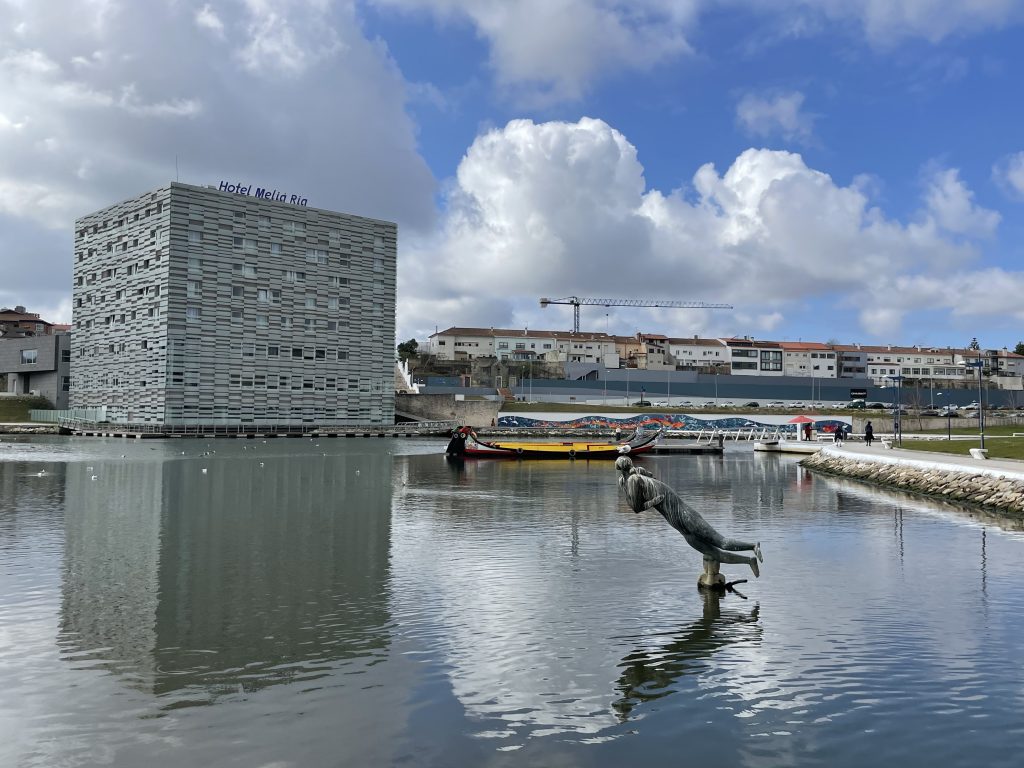

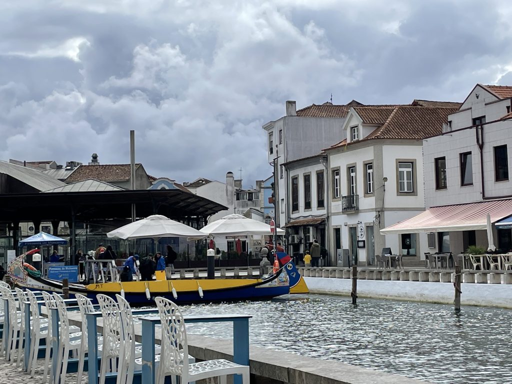
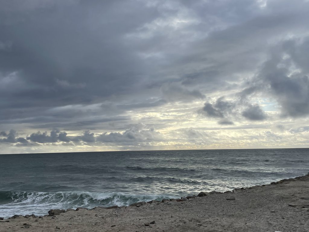
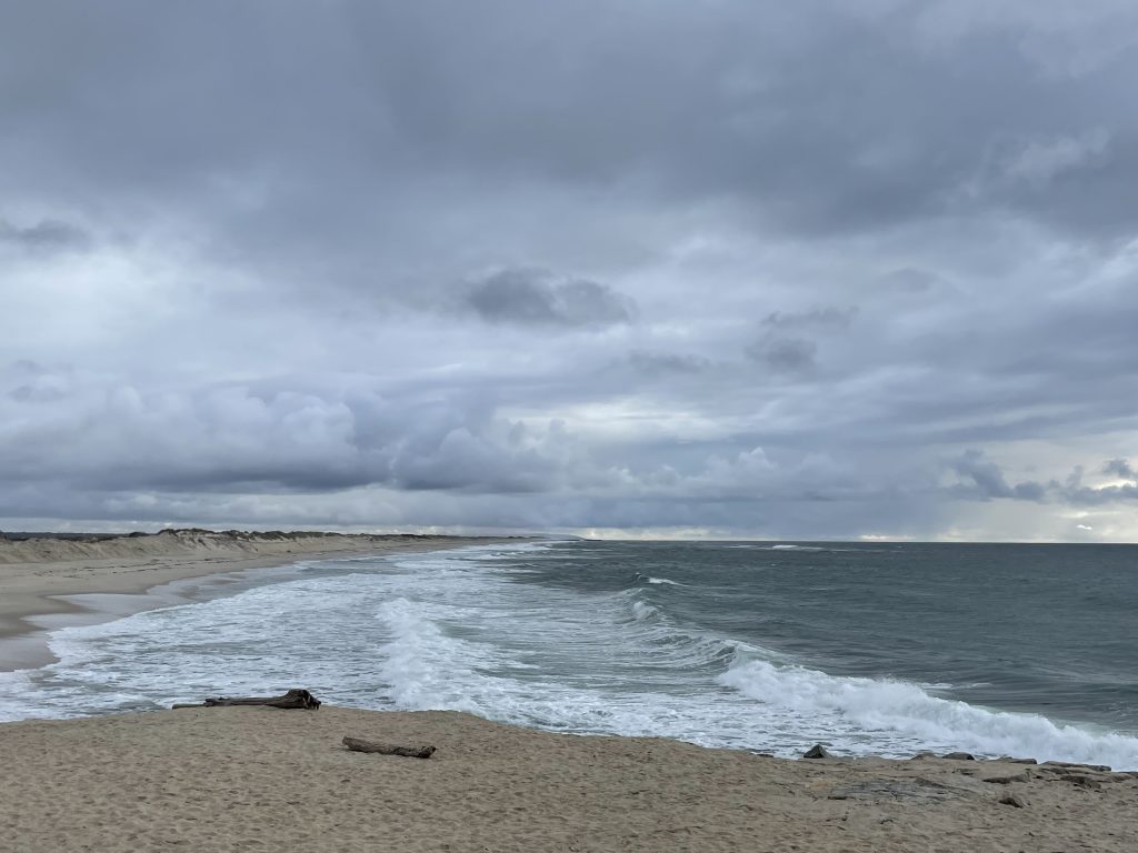
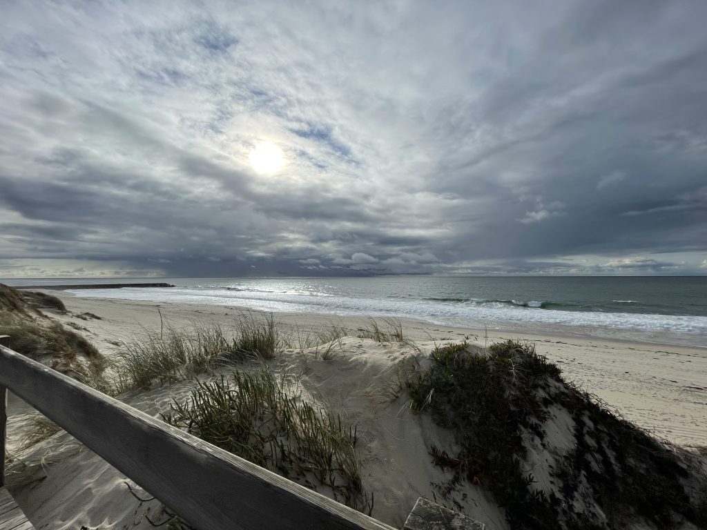
OUR CAMPSITE BEACH & DUNES



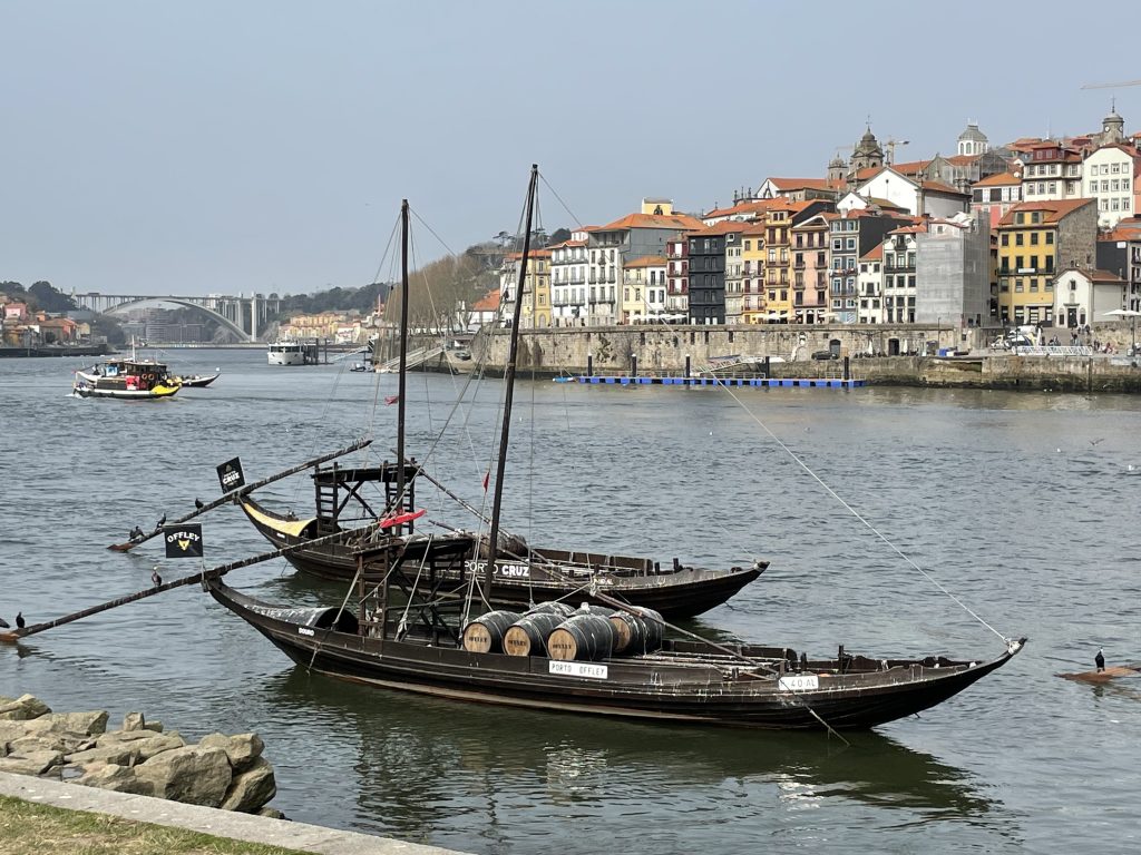
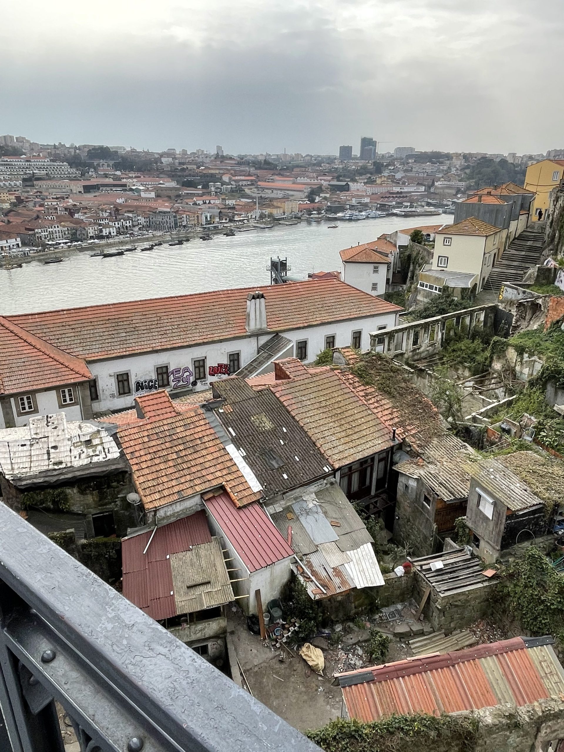
Porto, we did you proud. In 3.5 days we walked 27 miles around the city streets…
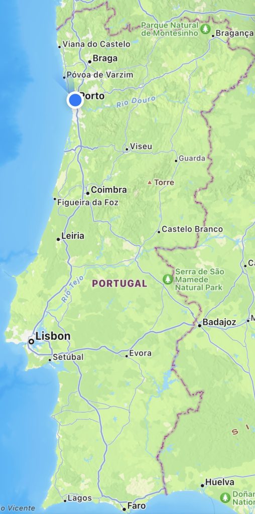
Porto is the second largest city in Portugal with a population of 1.3million – about the same as Glasgow.
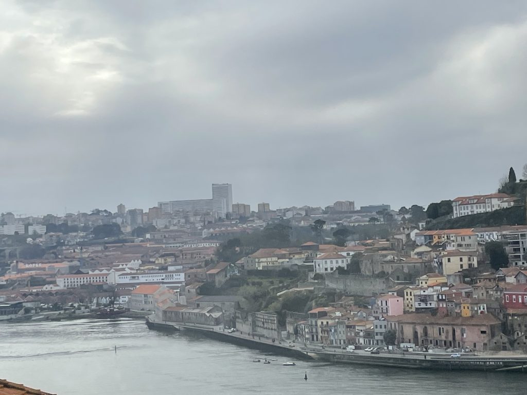
Porto lies slightly inland from the coast, on the north bank of the Rio Douro, just before the river meets the Atlantic.
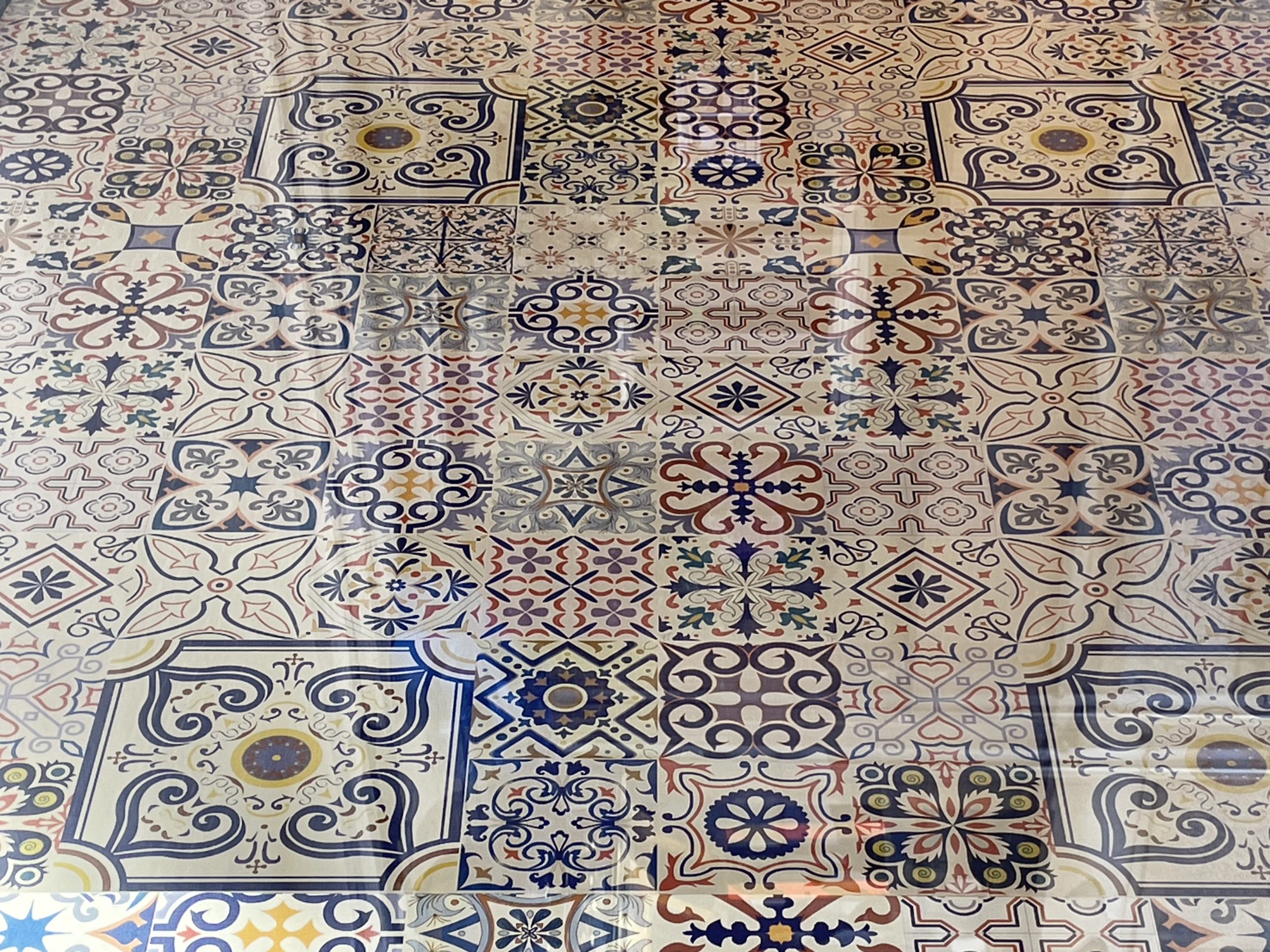
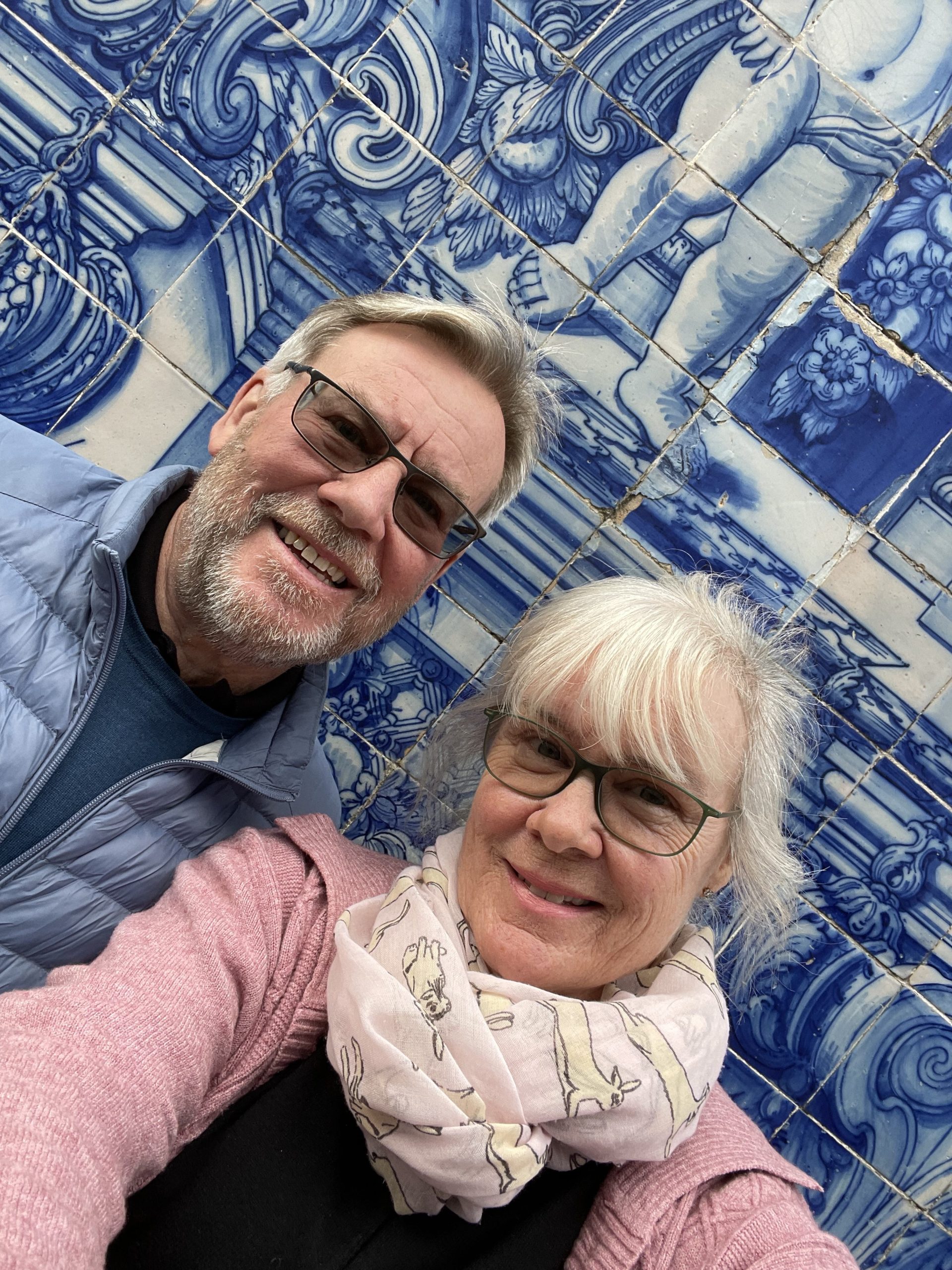
What you notice first of all are the red rooftops of the buildings which seem to be built on top of each other as the city slopes down to the river. Then you notice the azulejos, the decorative tiles that adorn the buildings, many in blue and white.
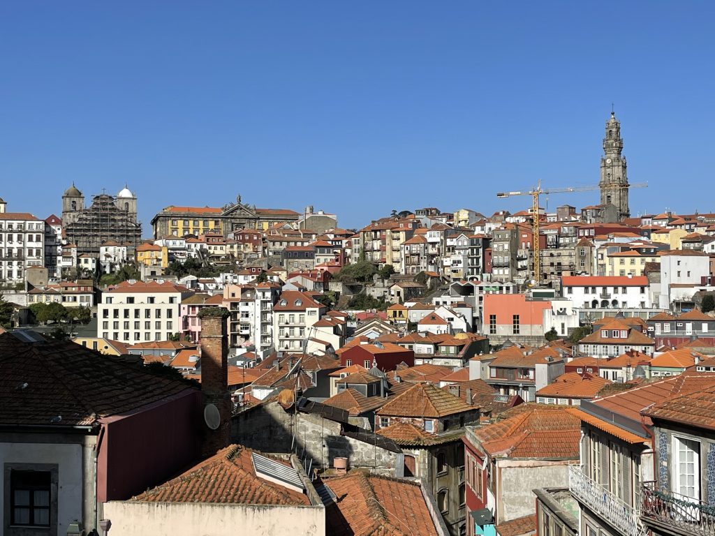
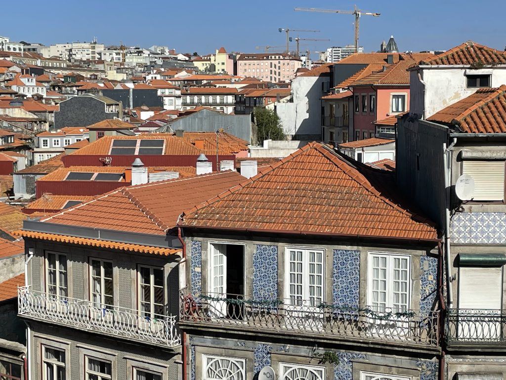
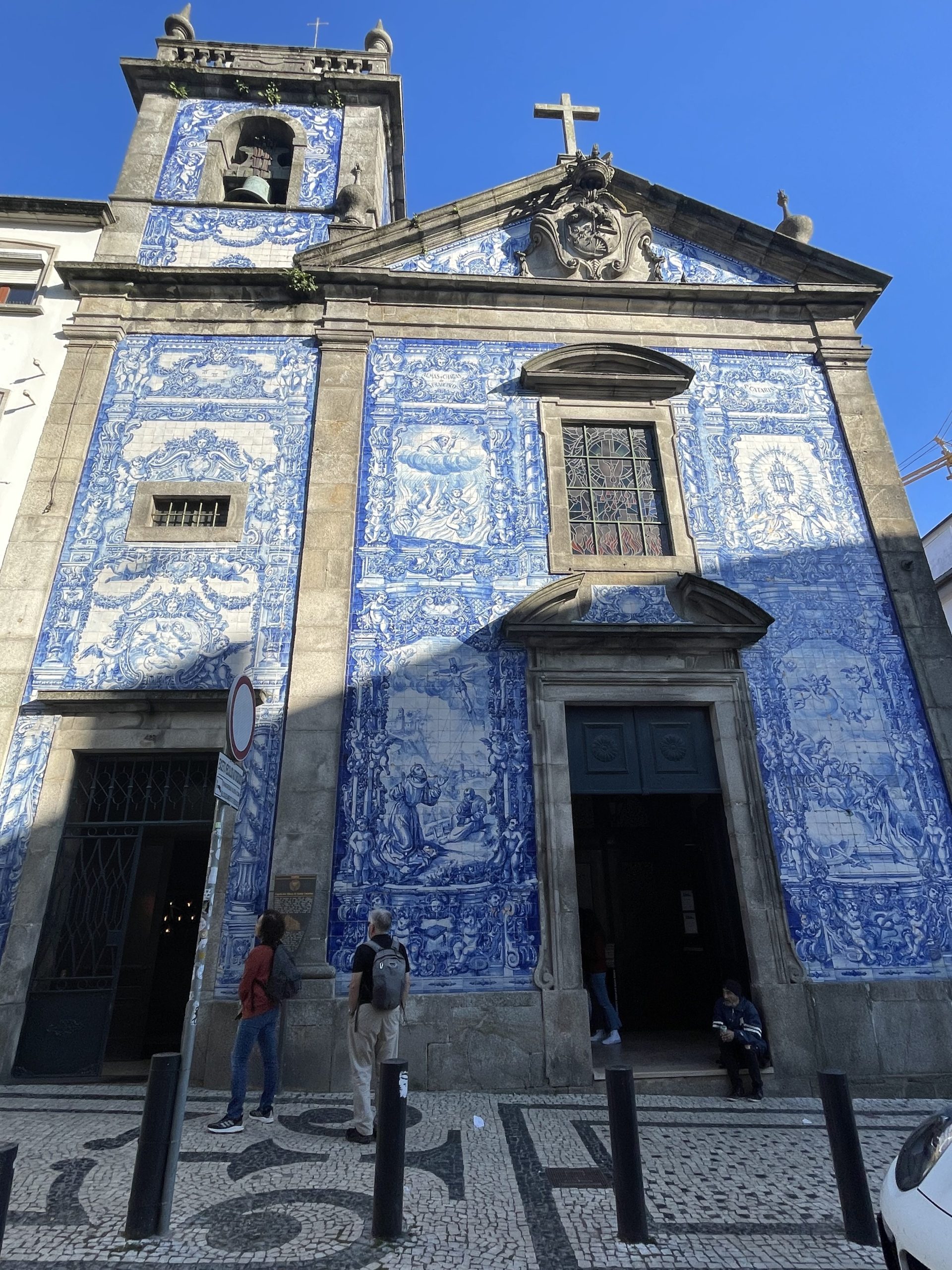
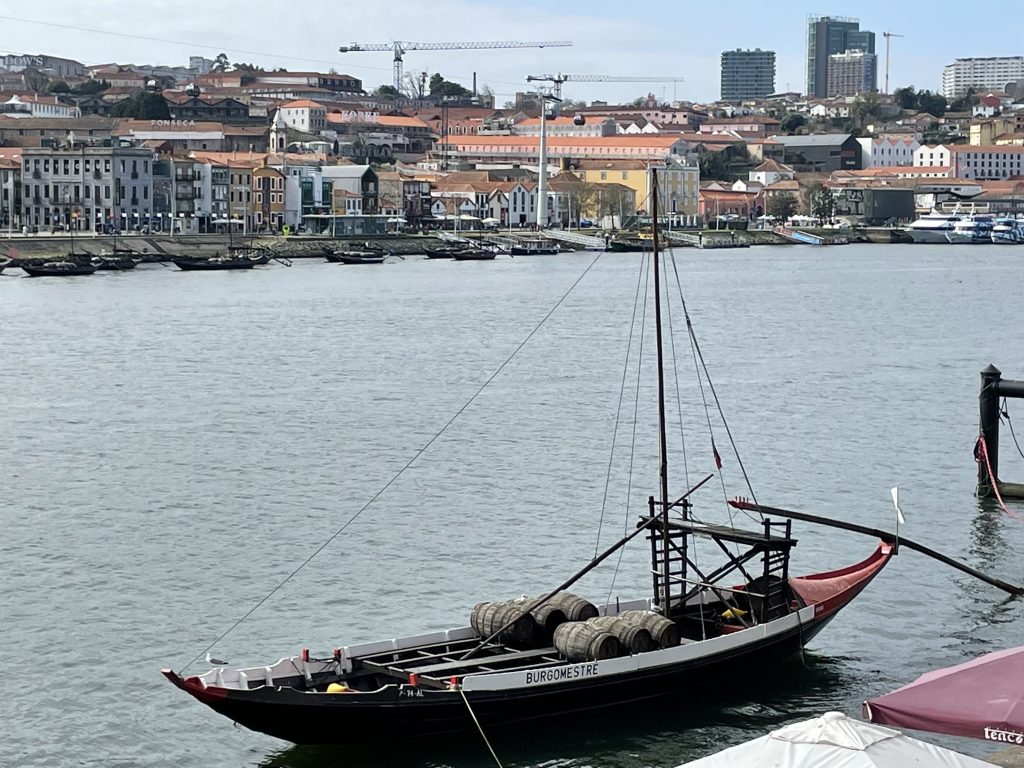
The city is divided into different parts, and as there are so many sights to see, we decided to focus on just three areas on the north bank: Ribeira, Aliados, Bolhao and Vila Nova de Gaia – which is on the south bank of the Douro.
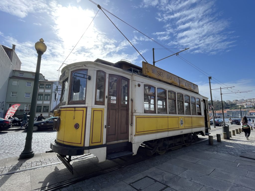
RIBEIRA – the UNESCO area of Porto, which lies on the north bank of the Douro. Sights include:
Igreja de Sao Francisco
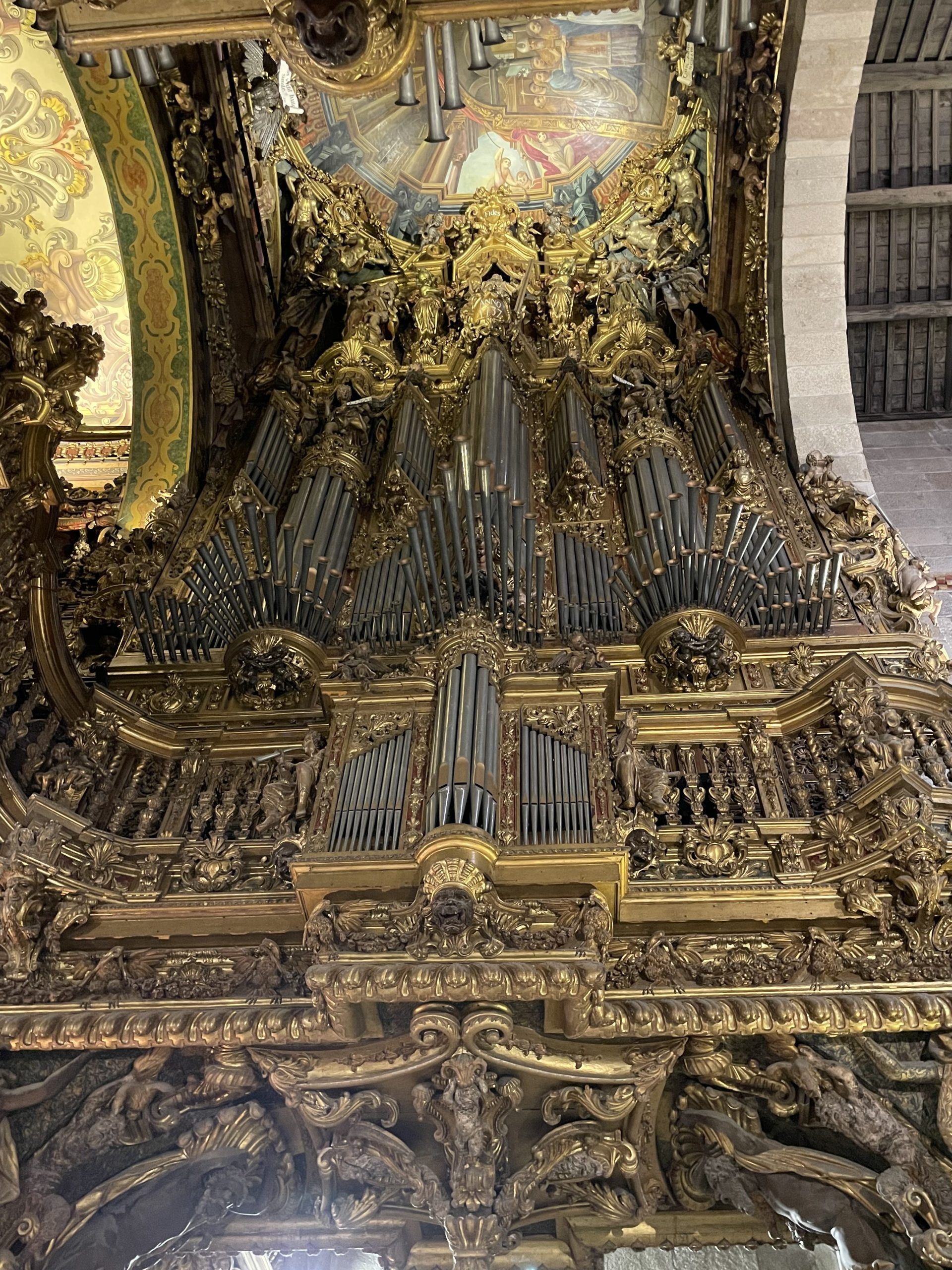
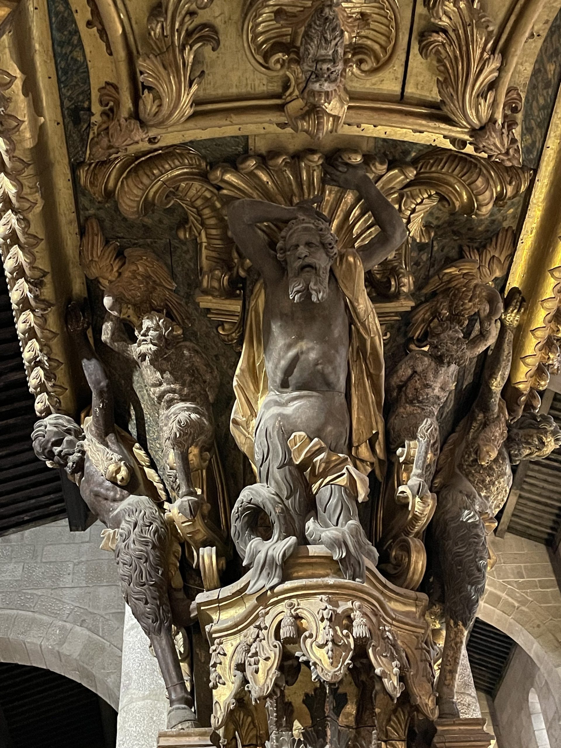
A bit bold and boring on the outside, but the inside wood was intricately carved and swathed in gold leaf. The adjacent museum has catacombs of the nobility dating back several centuries, and an ossuary beneath the tombs. No photos allowed in the church or the museum.
Cathedral – Se
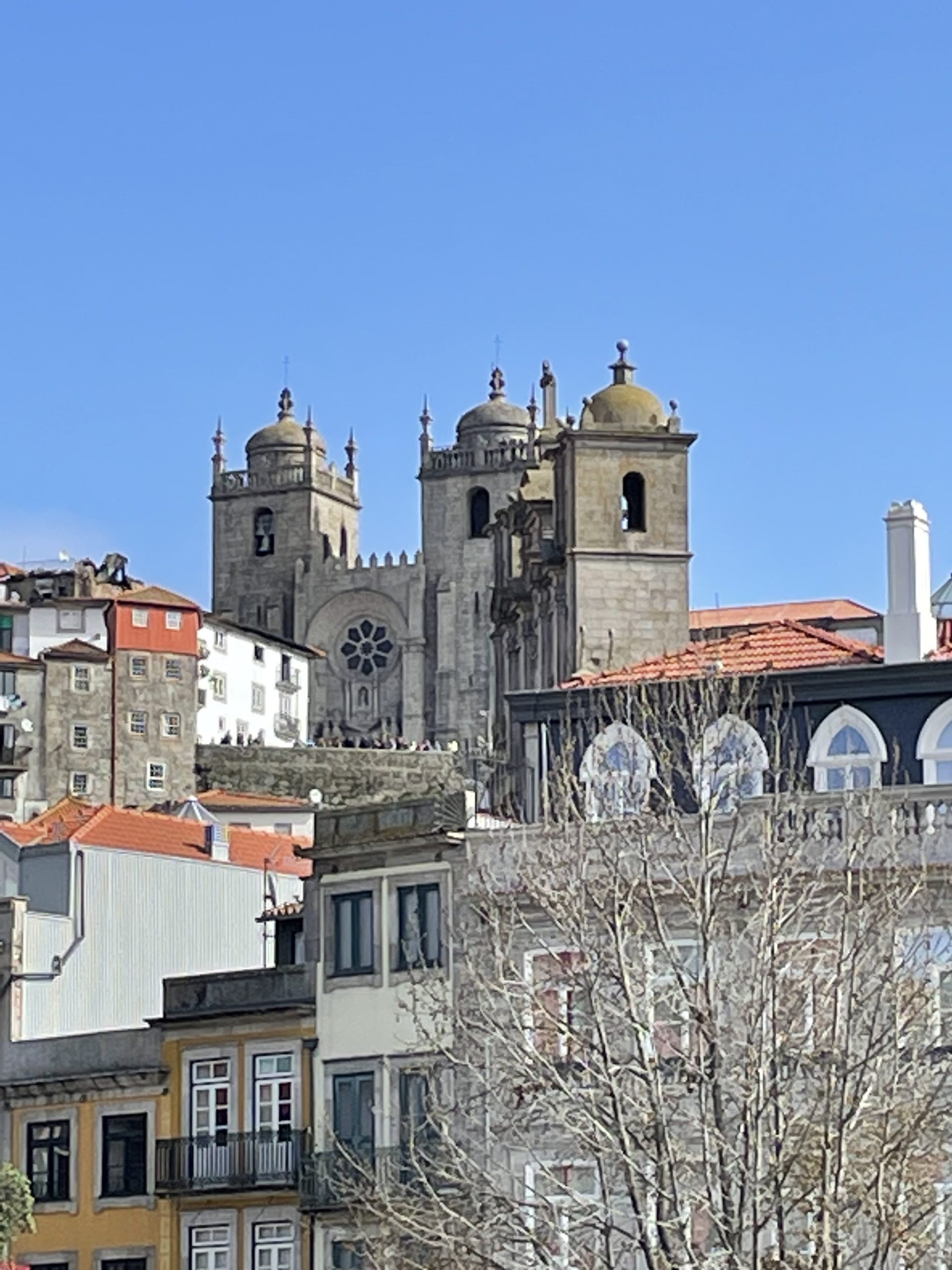
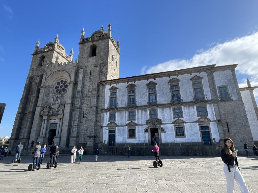
Where Dom Joao I married Philippa I of Lancaster, and where their son, Henry the Navigator was baptised. Henry (1394-1460) was the pioneer of the caravel, the small fast Portuguese ship, who braved the Atlantic in search of Portugal’s empire.
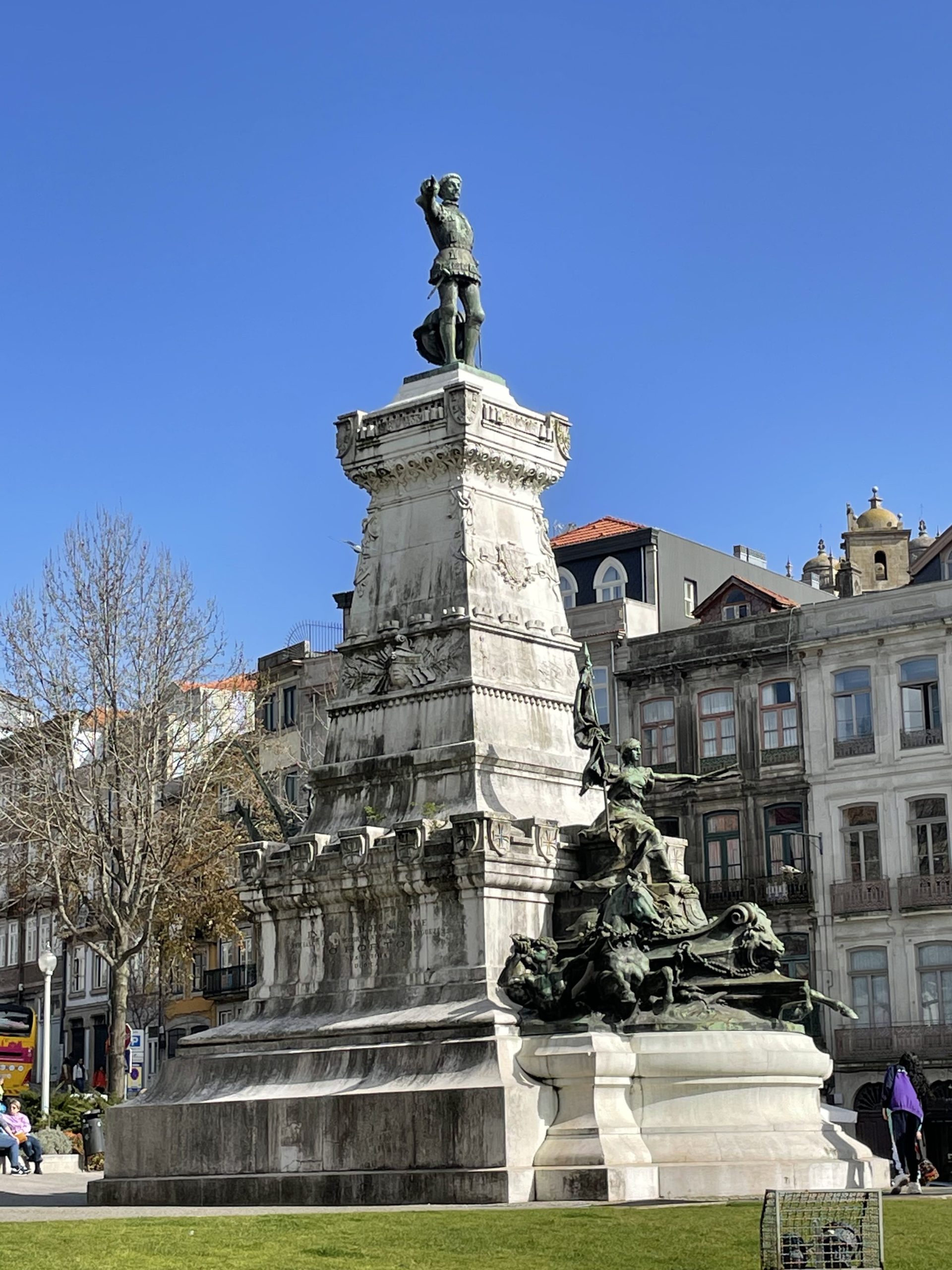
Palacio da Bolsa
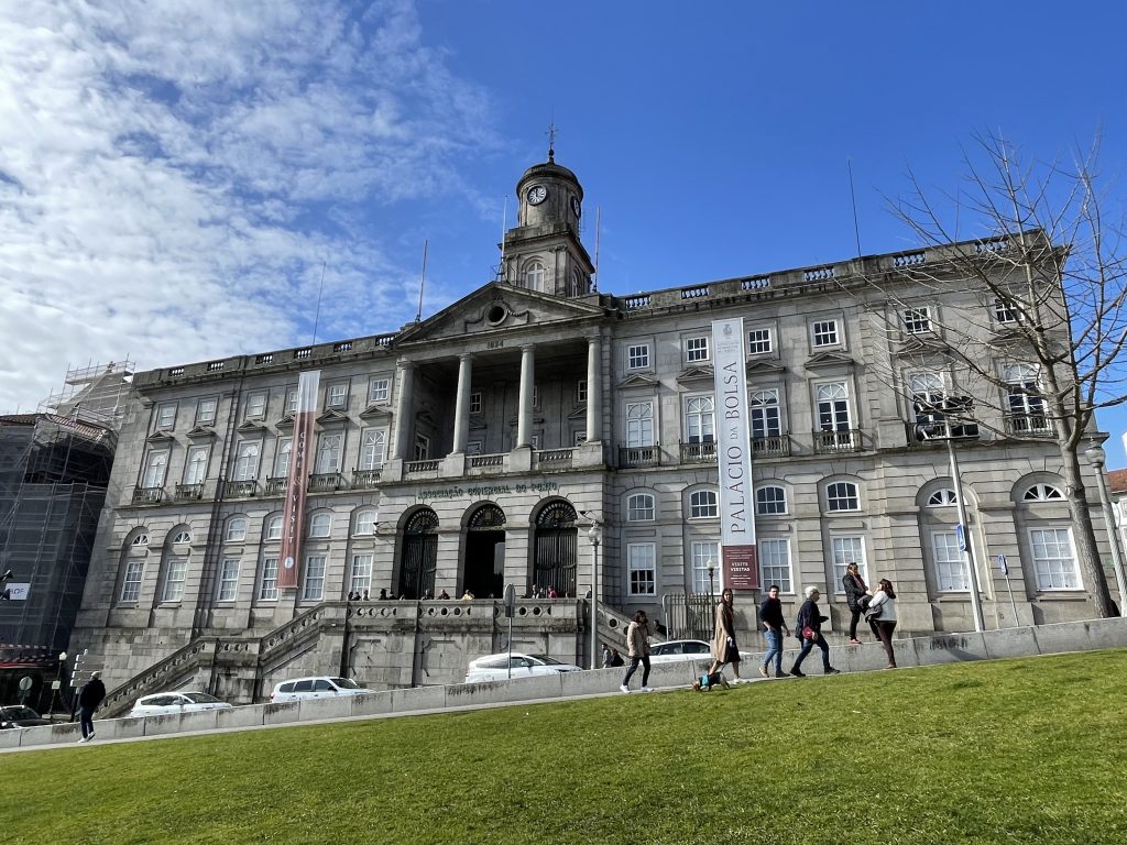
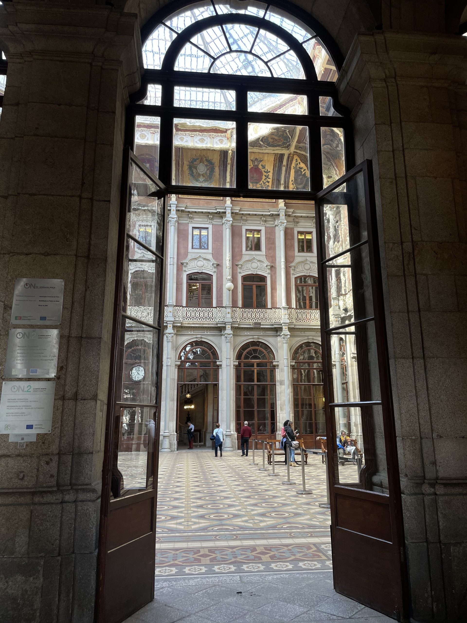
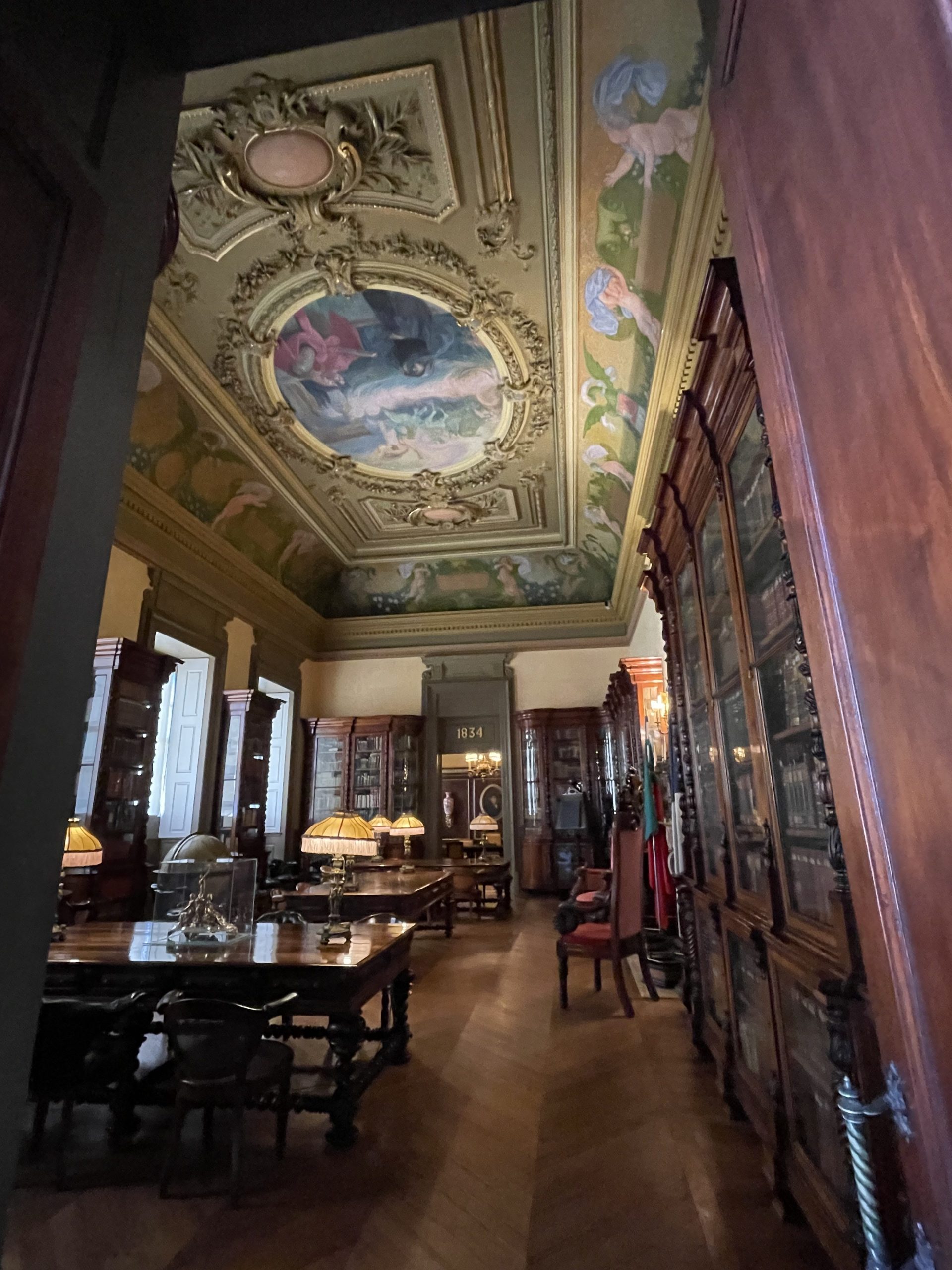
Praca da Ribeira

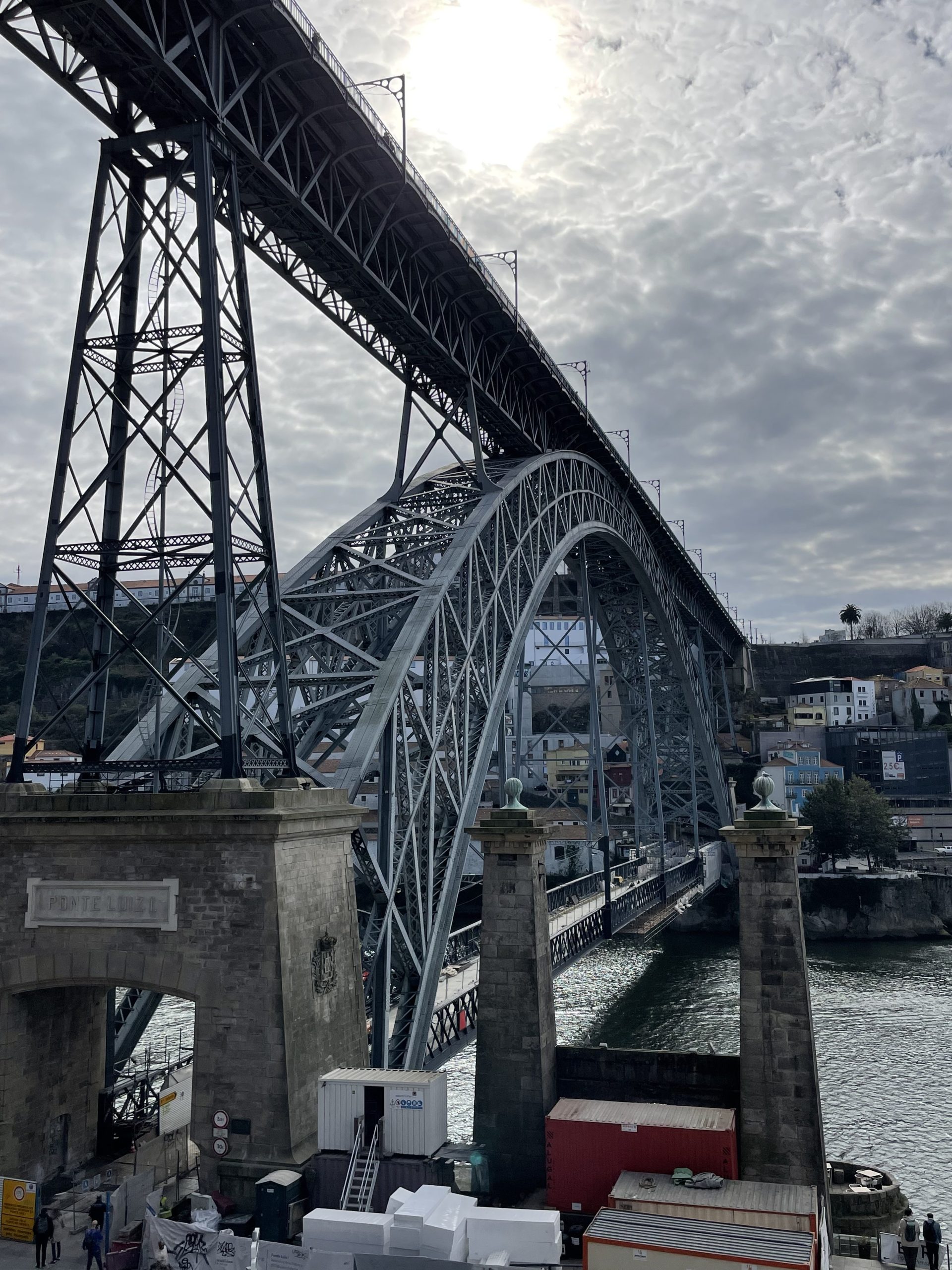
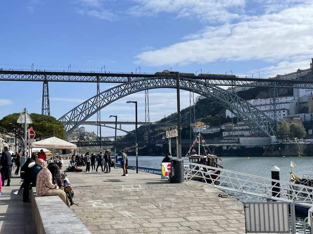
Cais da Ribeira & Ponte de Dom Luis I – bridge over the Douro designed by a student of Gustaf Eiffel.
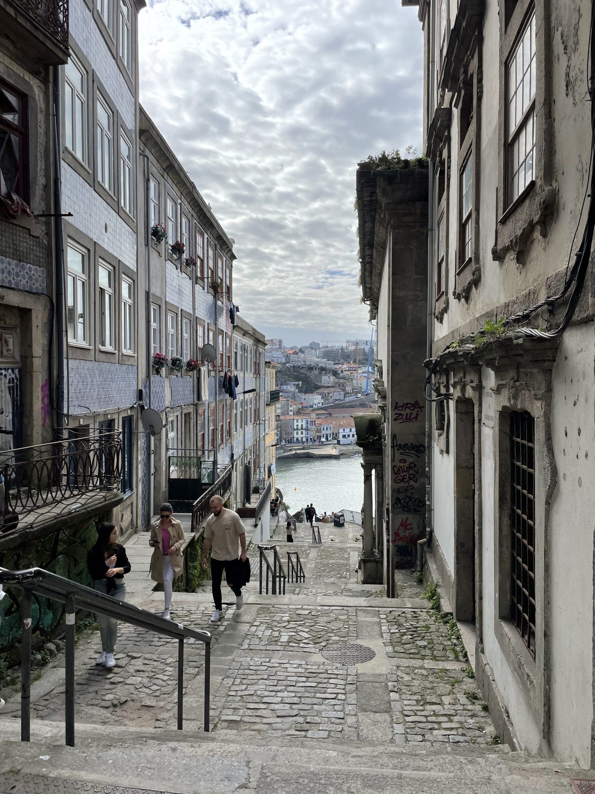
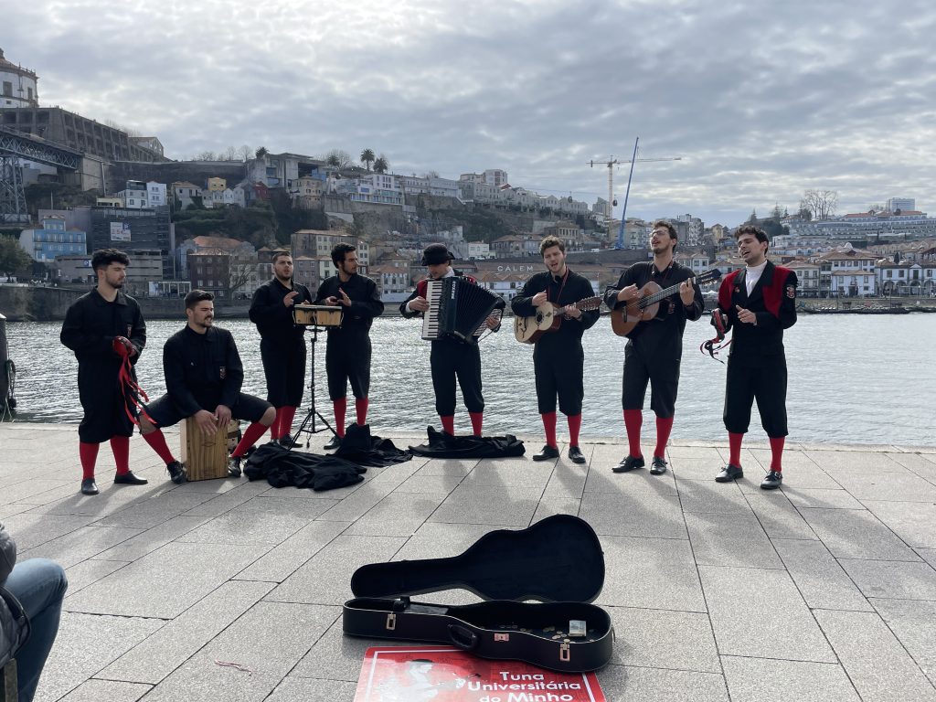
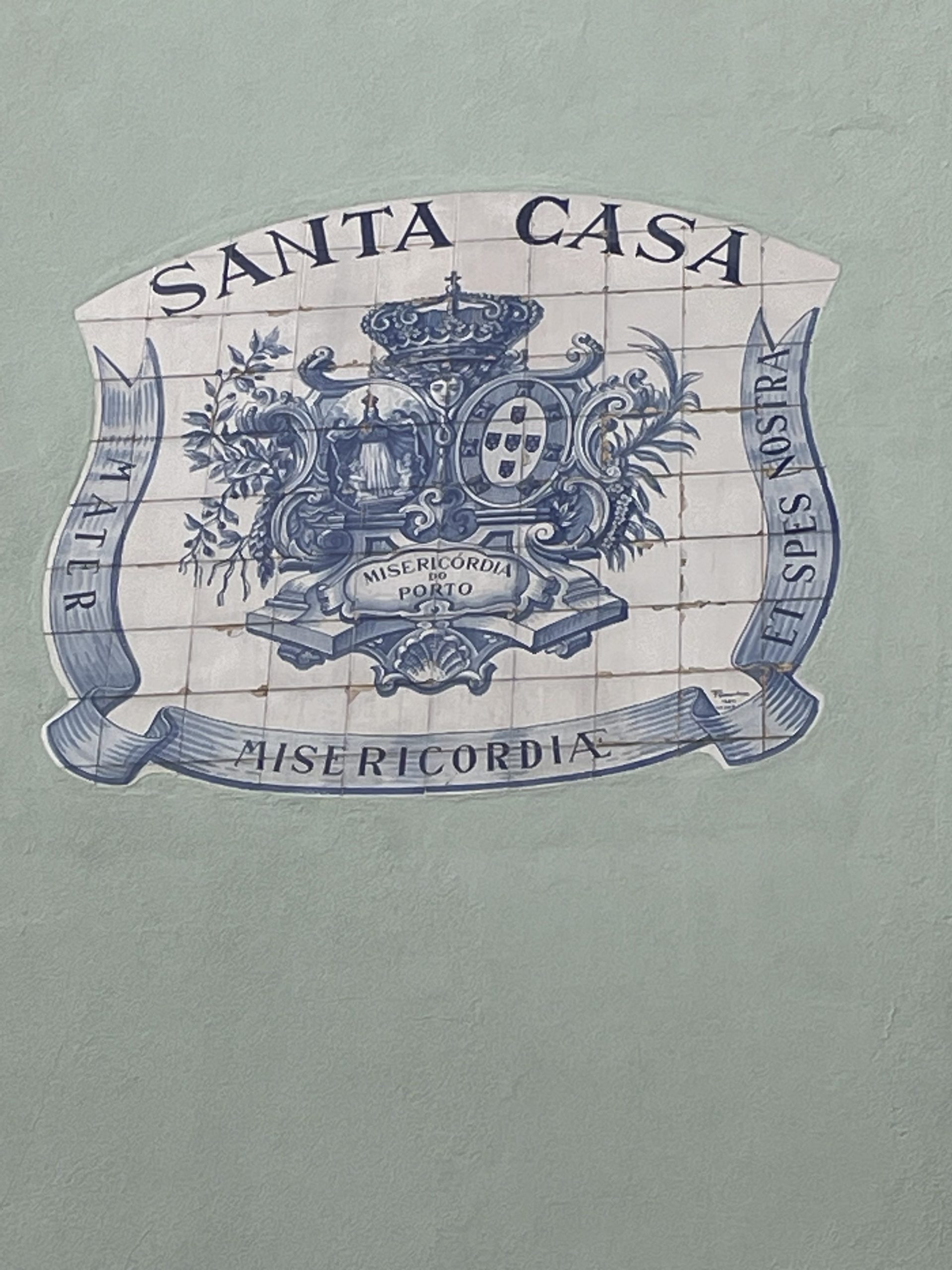
ALIADOS & BOLHAO
Librarian Lello
A book shop which has become world famous since JK Rowling wrote some of the Harry Potter books here in the early ‘90s. The long queue outside put us off, so we didn’t go in.
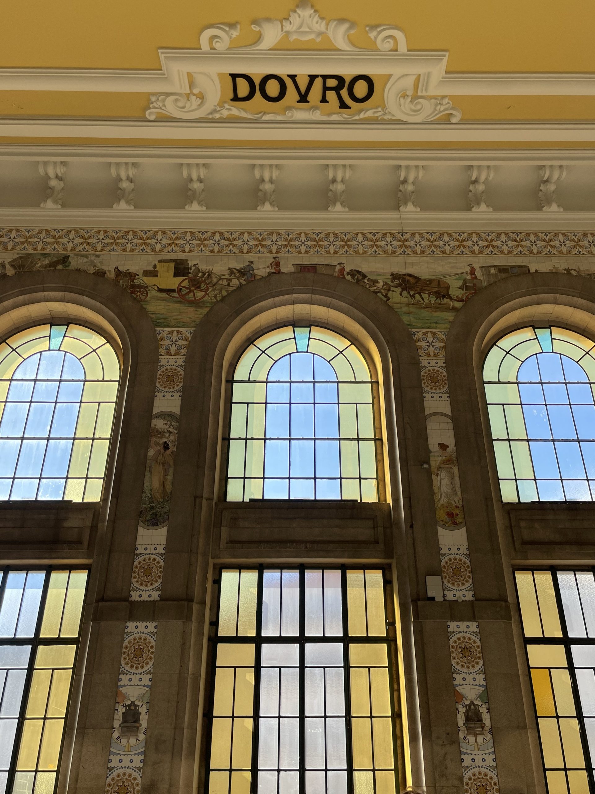
Sao Bento Train Station
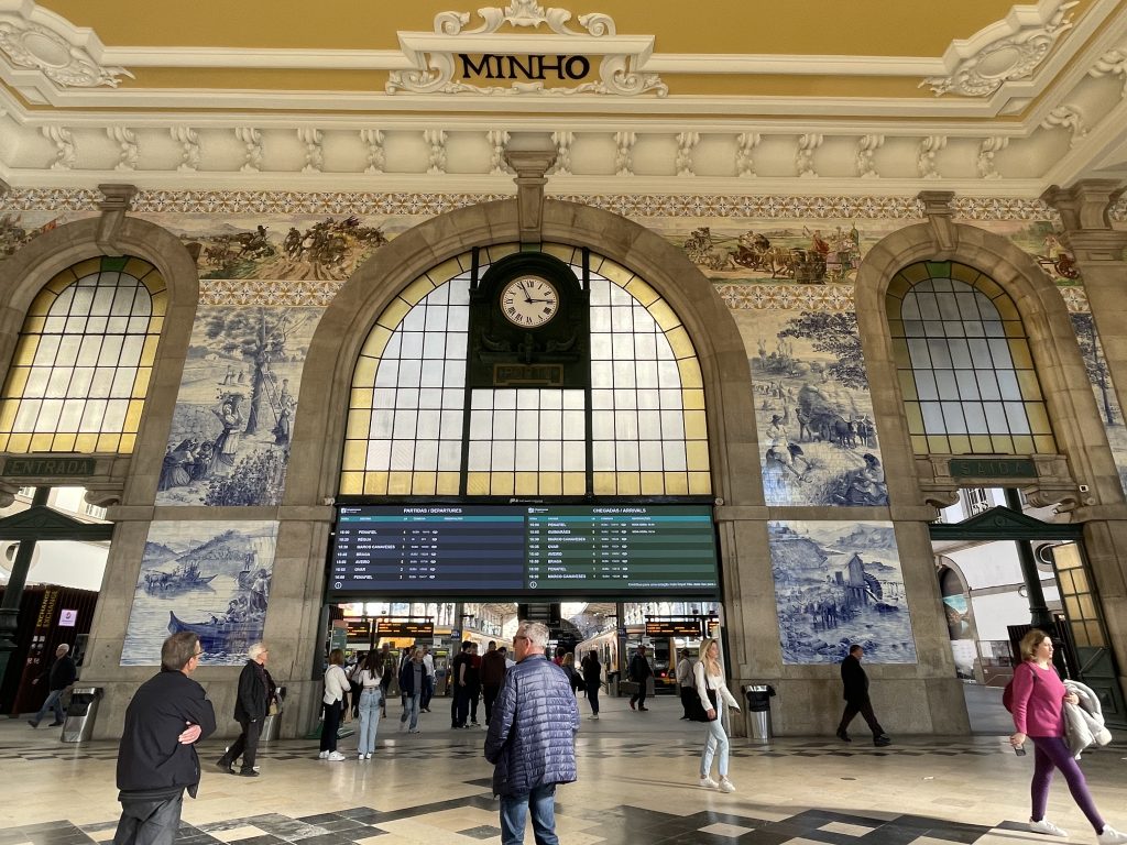
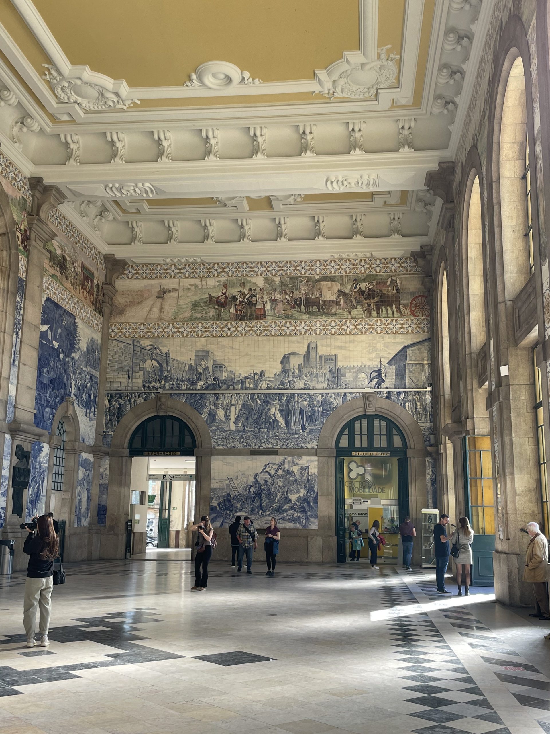
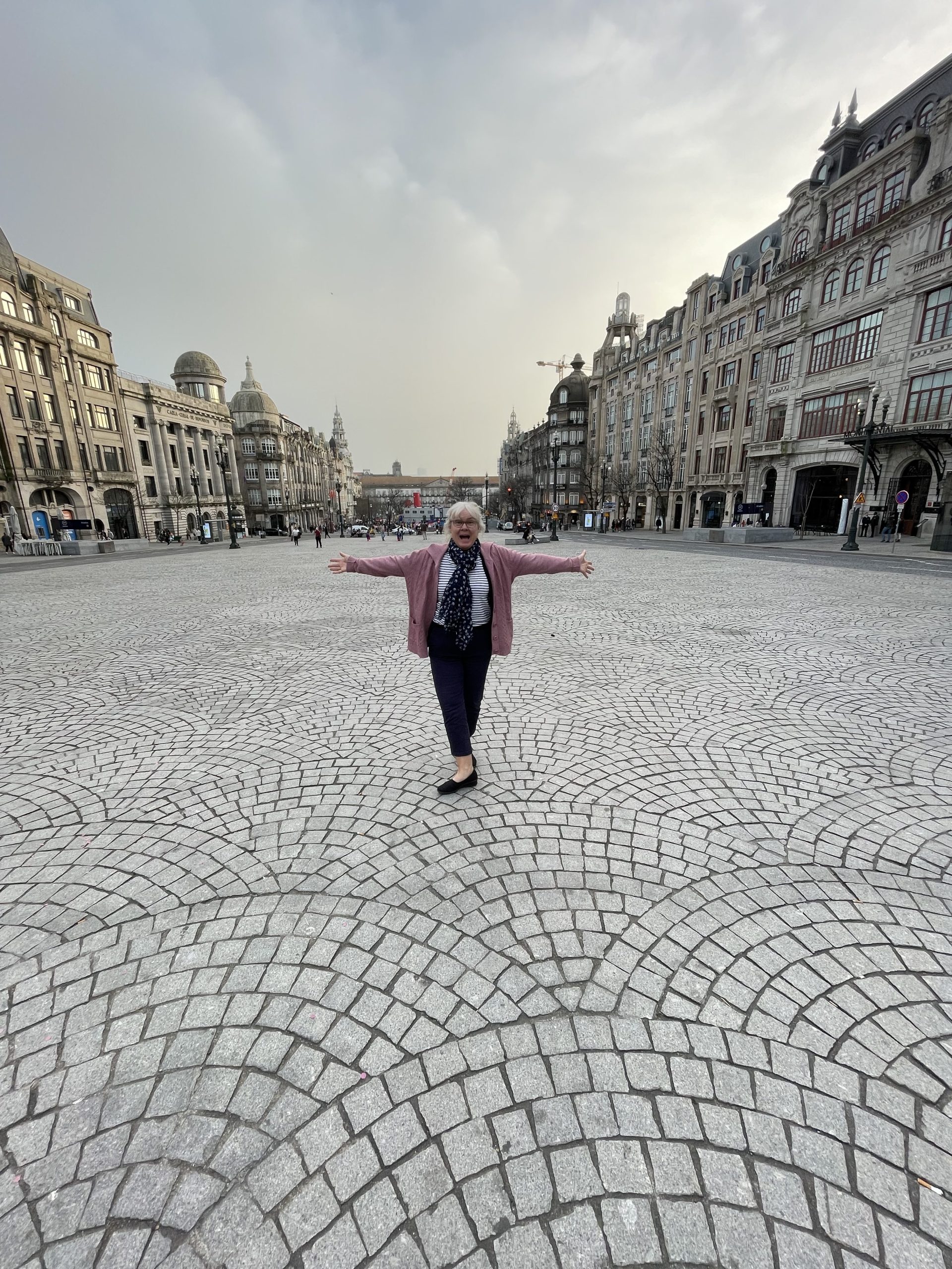
Avenida dos Aliados
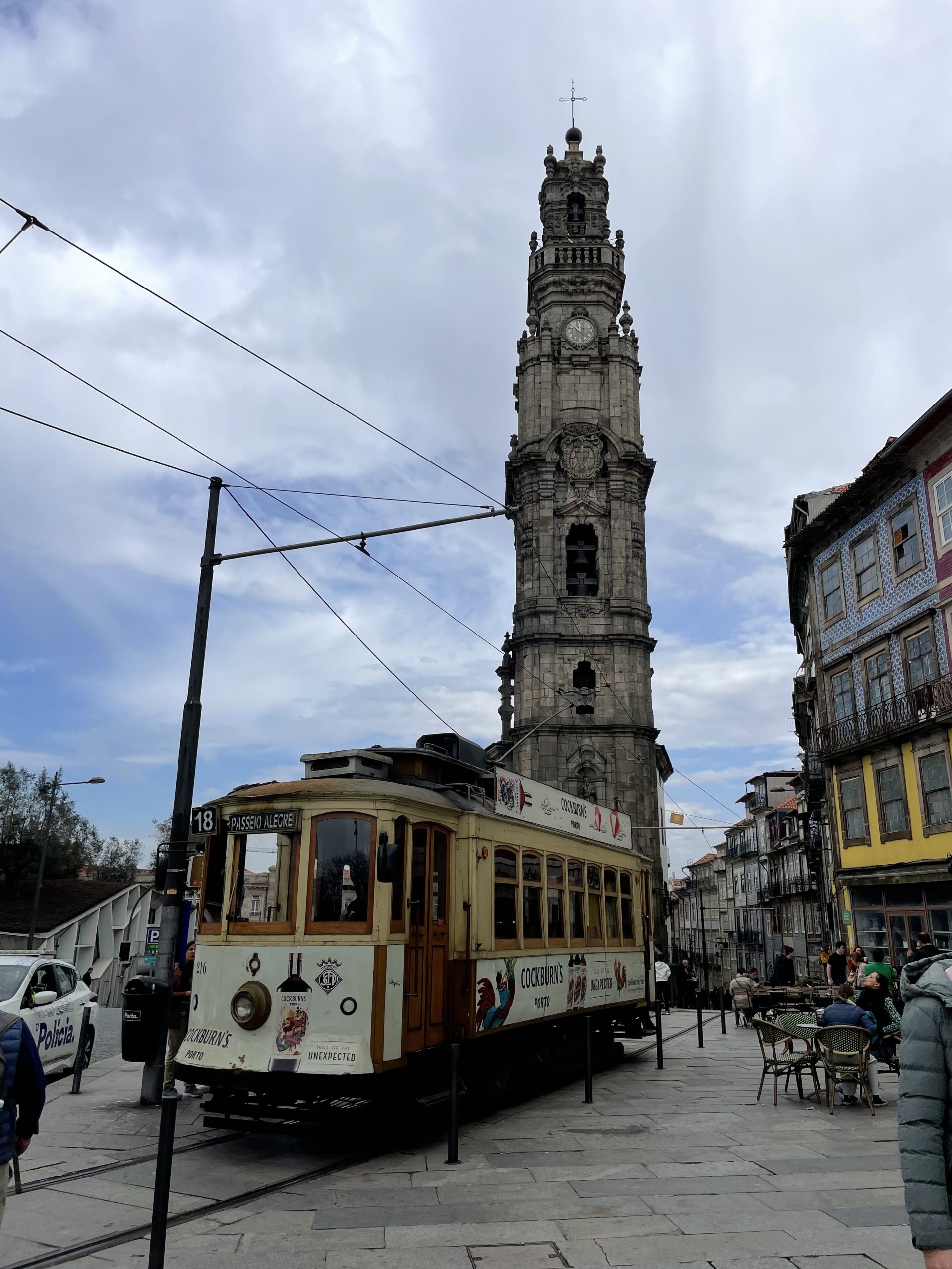
Torre dos Clerigos
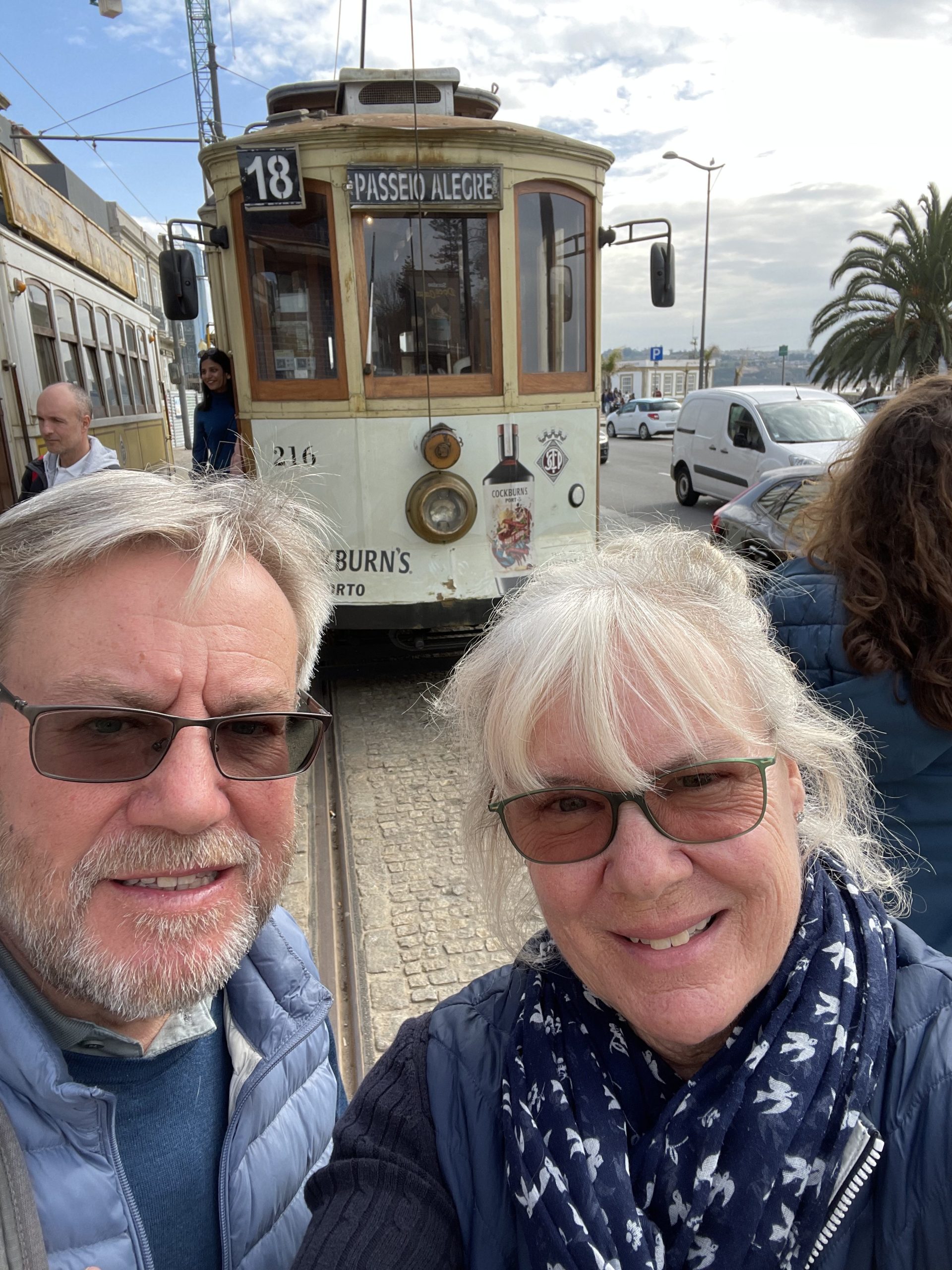
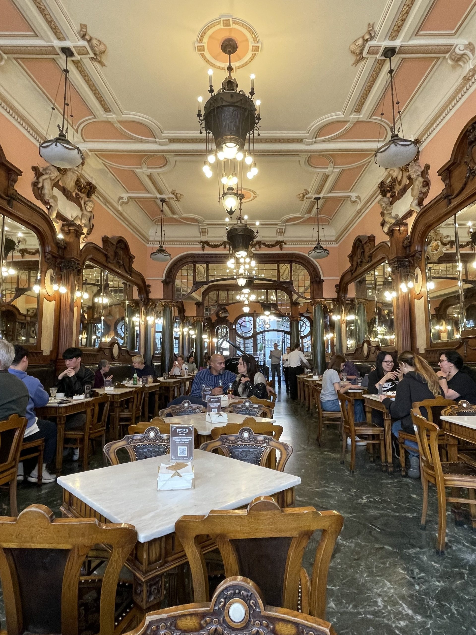
Rua Santa Catarina
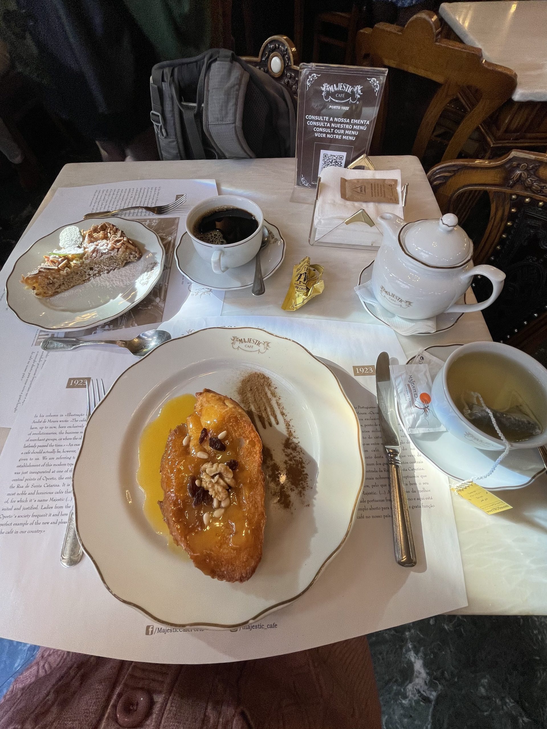
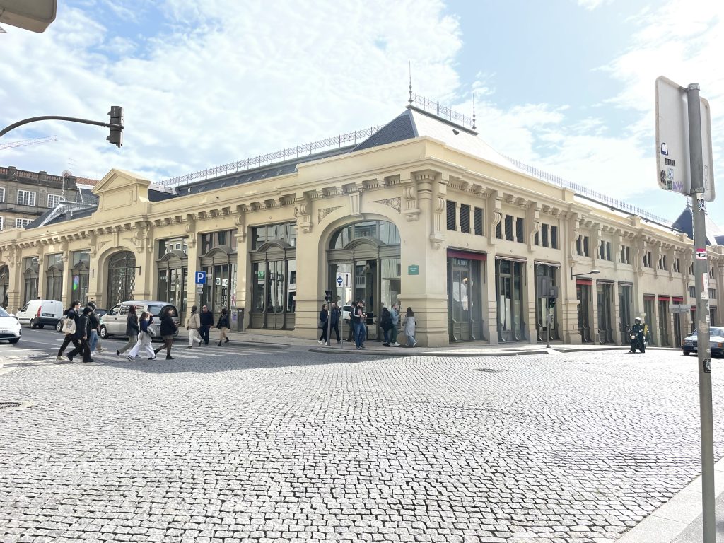
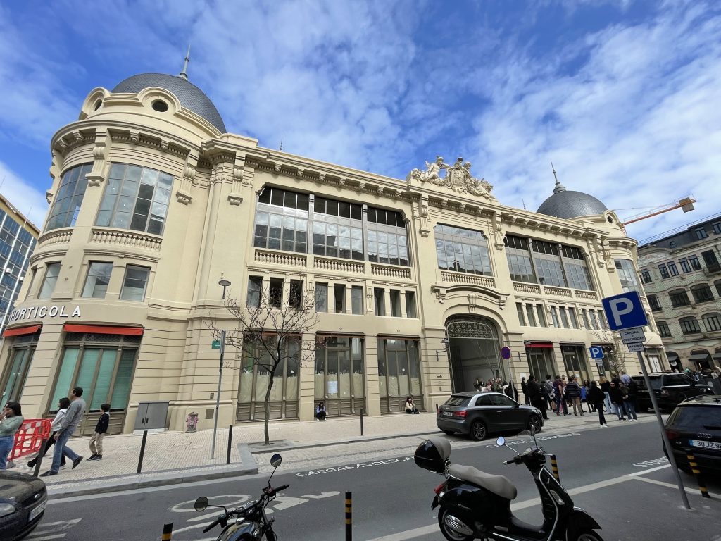
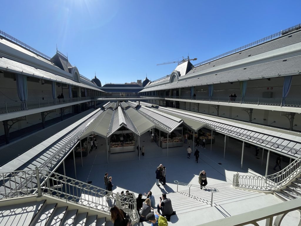
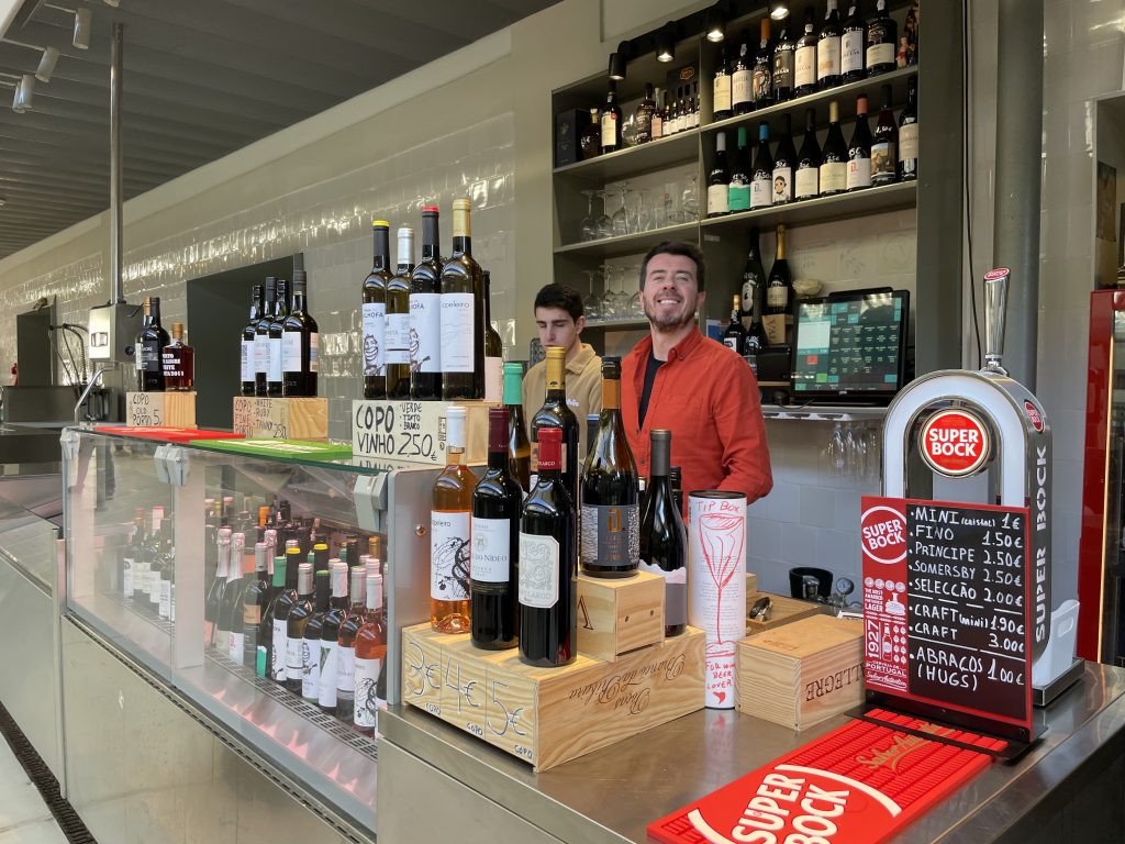
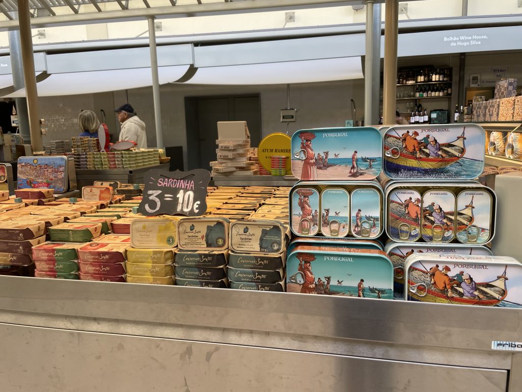
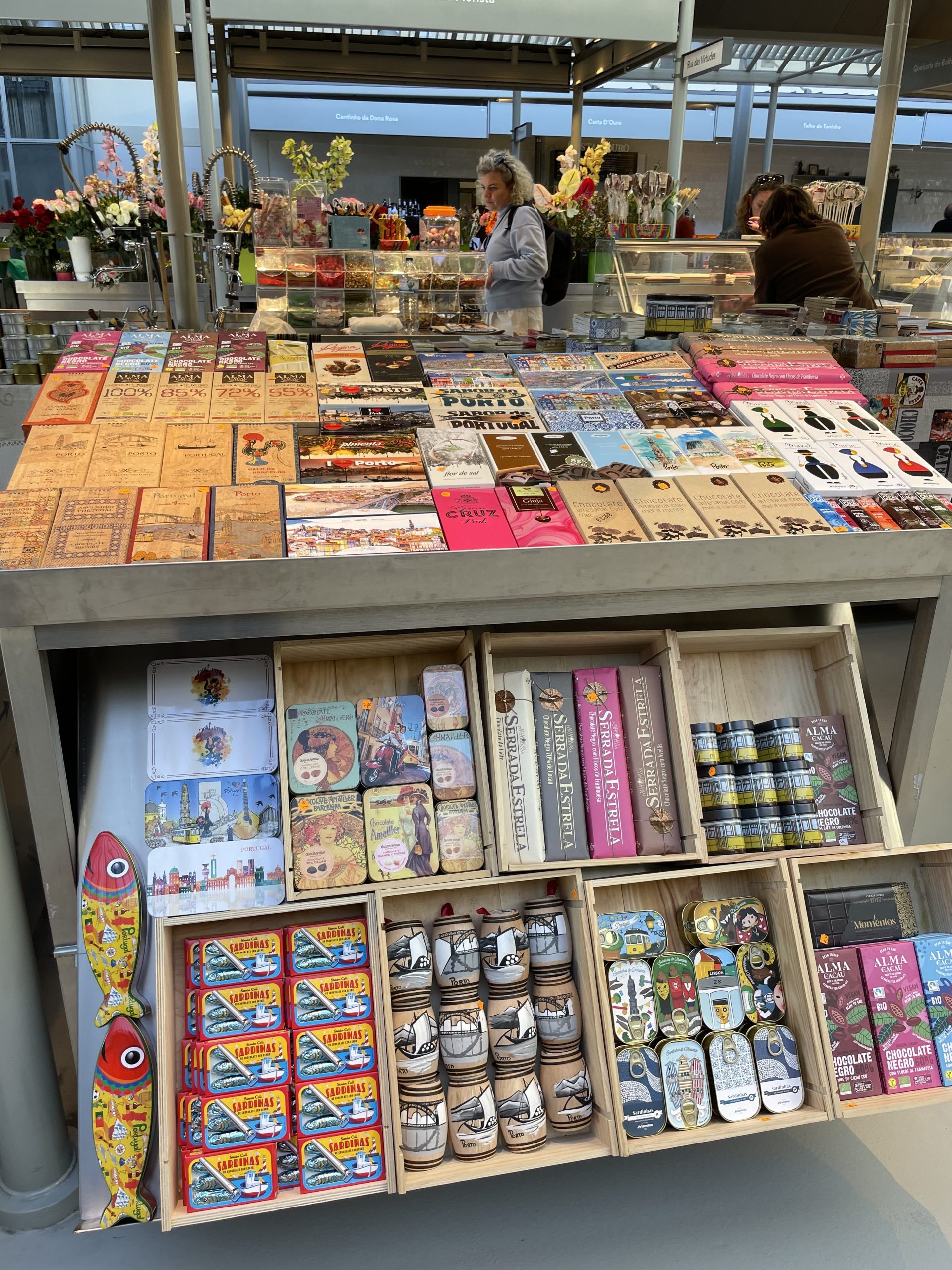
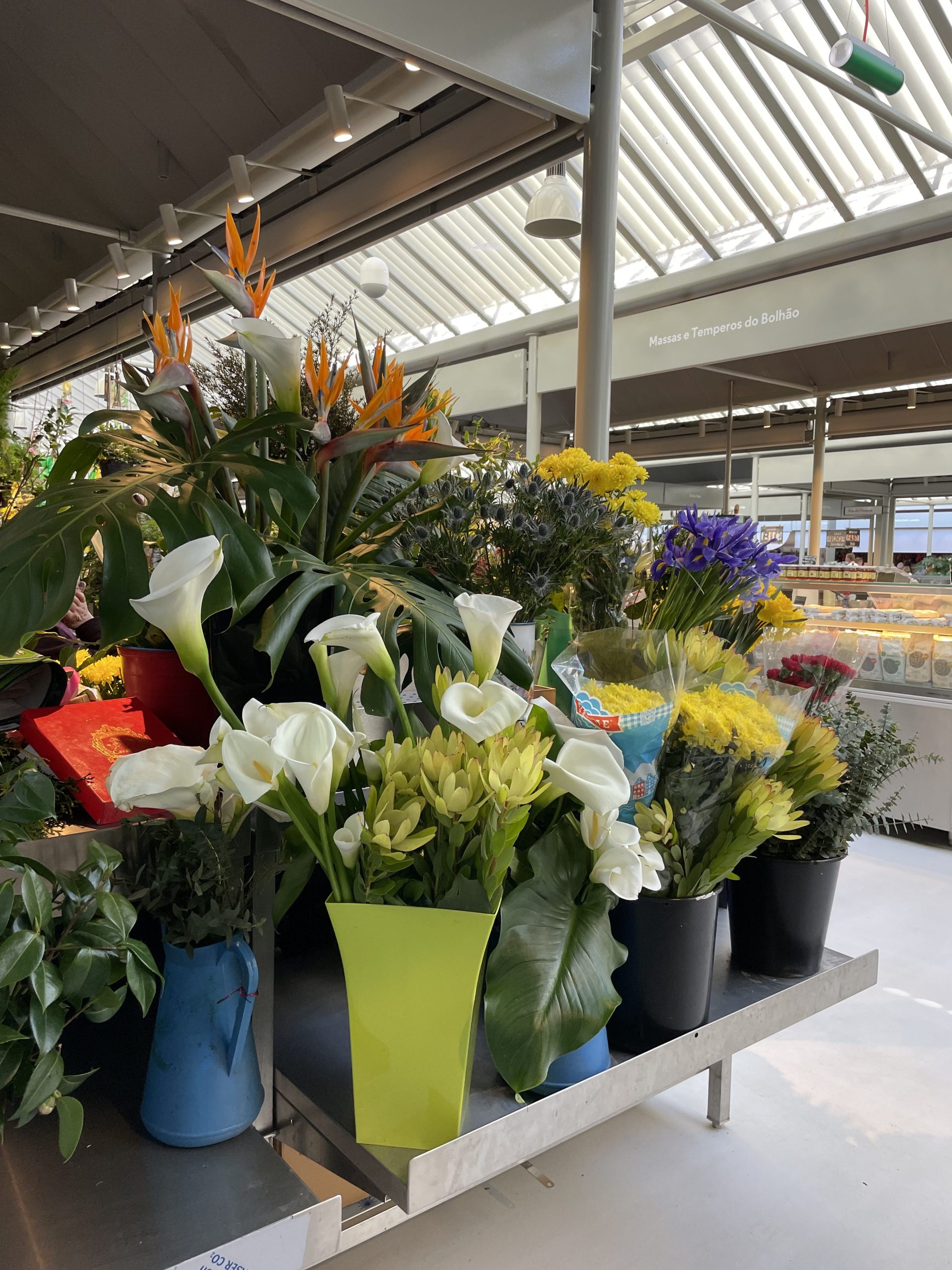
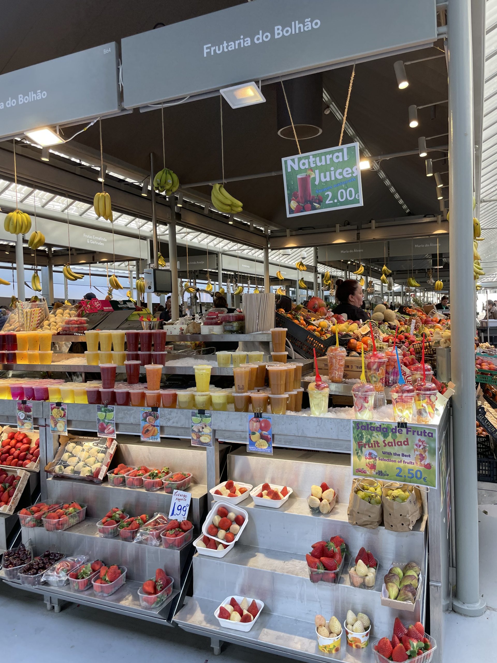
Mercado do Bolhao
MIRAGAIA
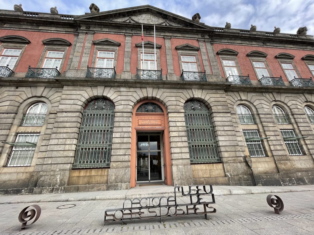
Museu Nacional Soares dos Reis – the main sections were closed while displays were re-organised but there was a temporary exhibition of Aurelia de Souza.
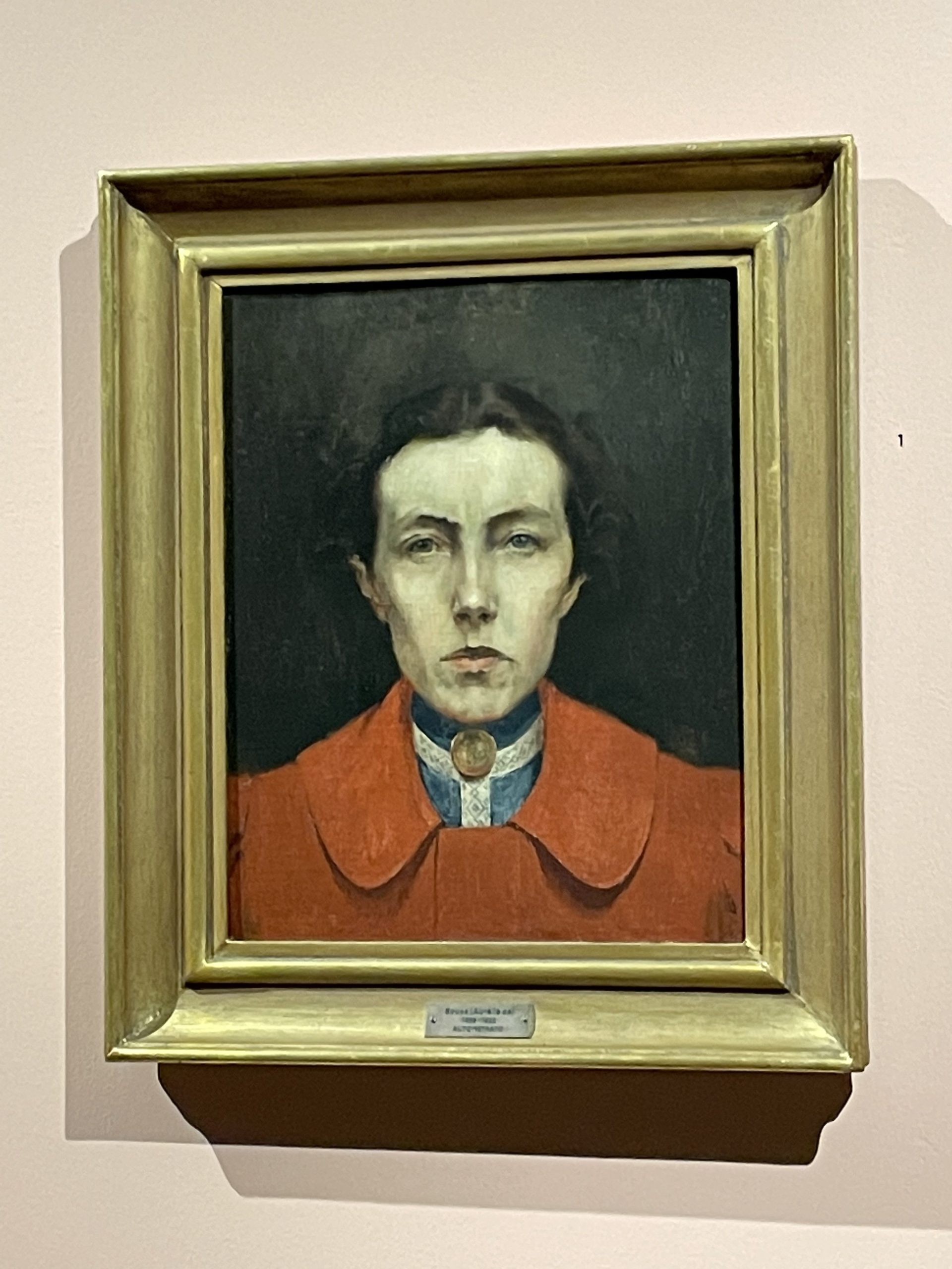
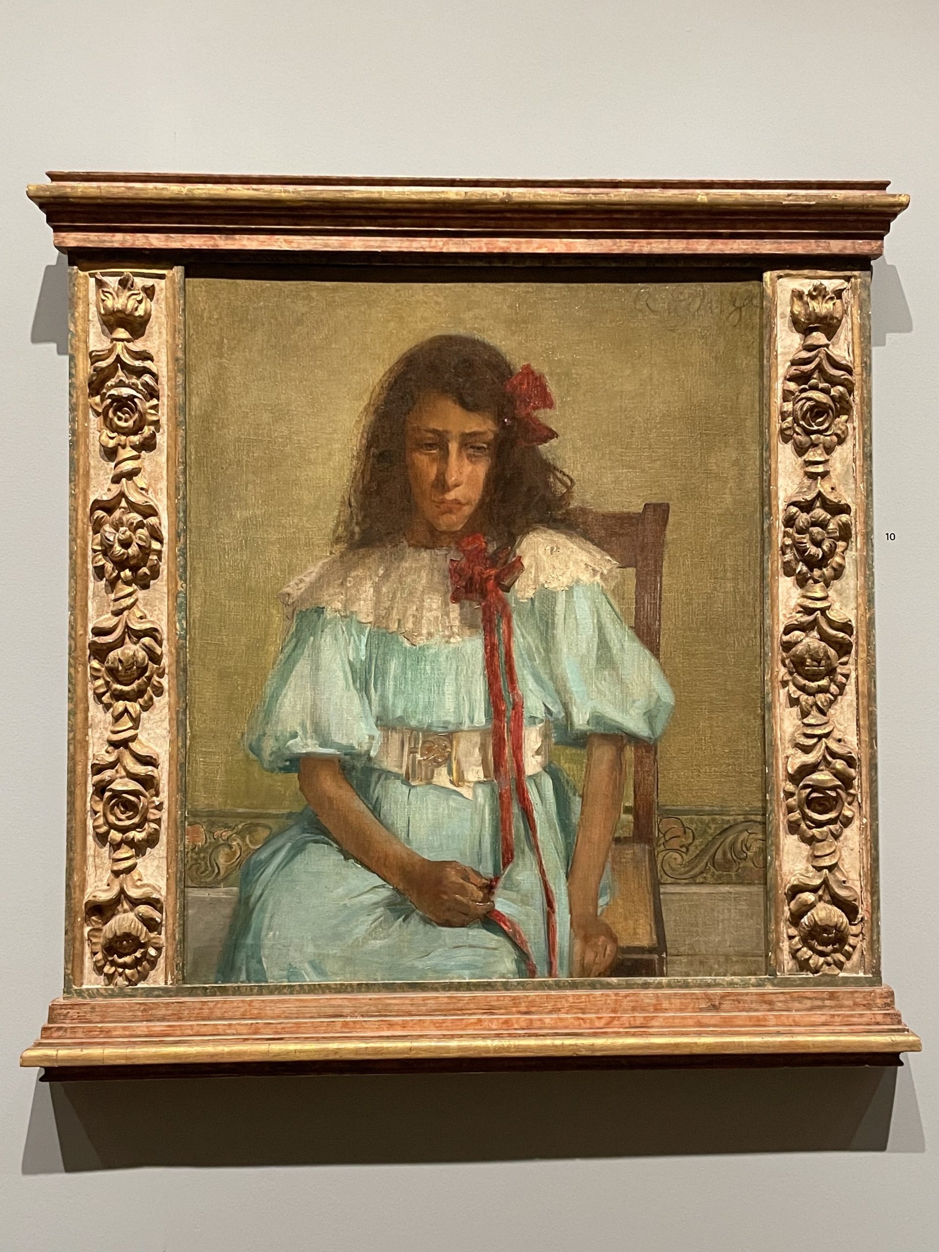
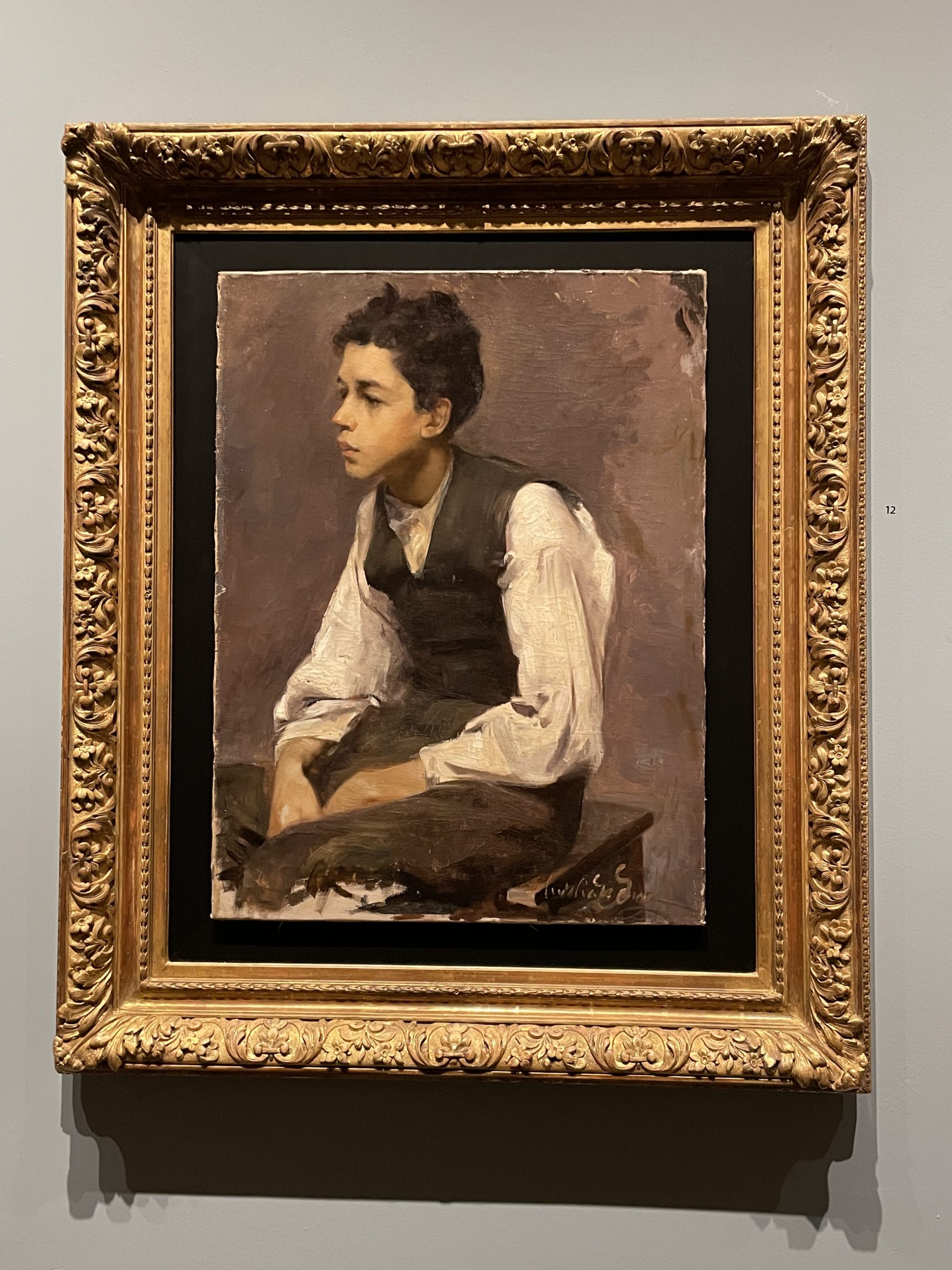
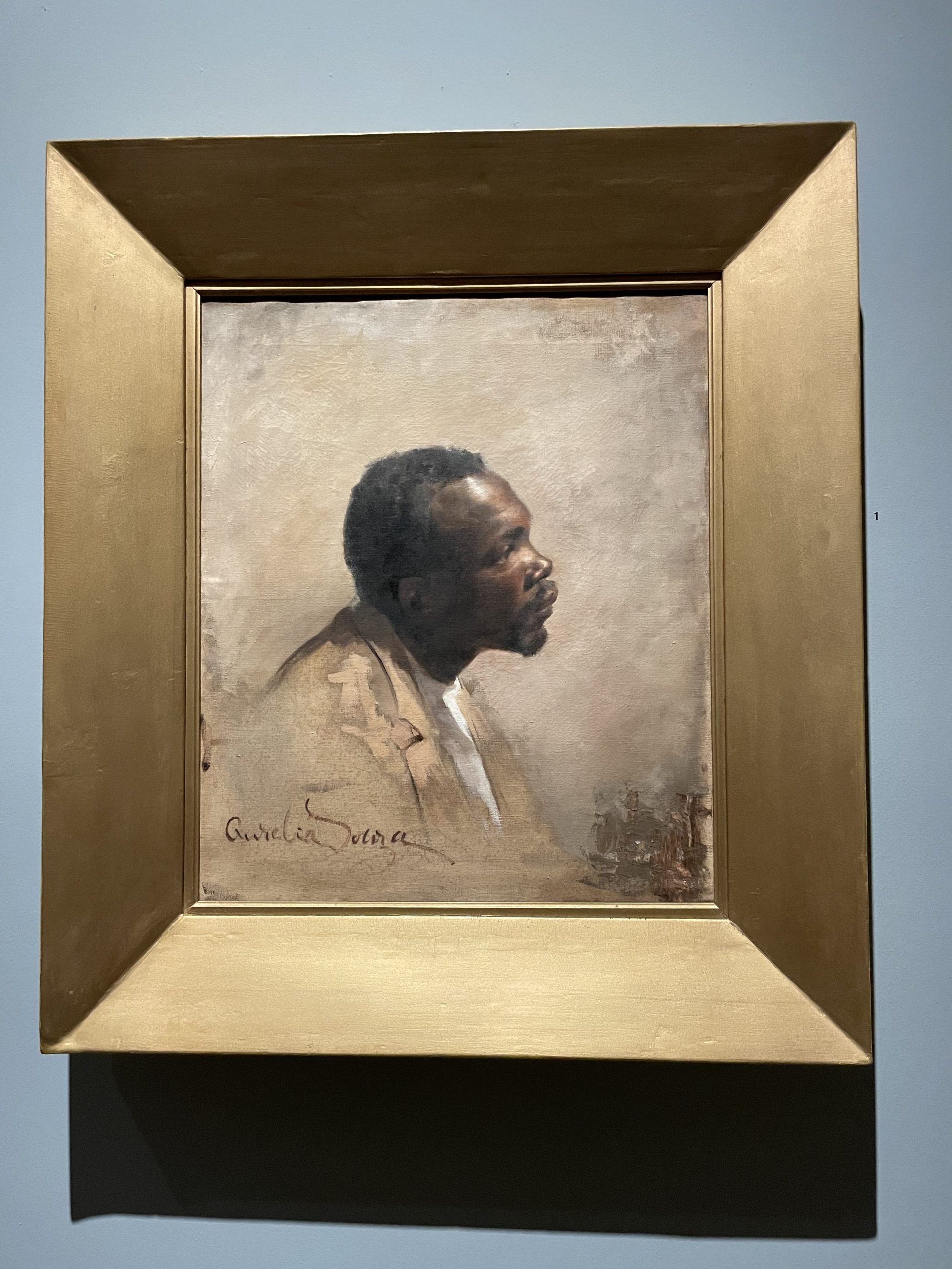
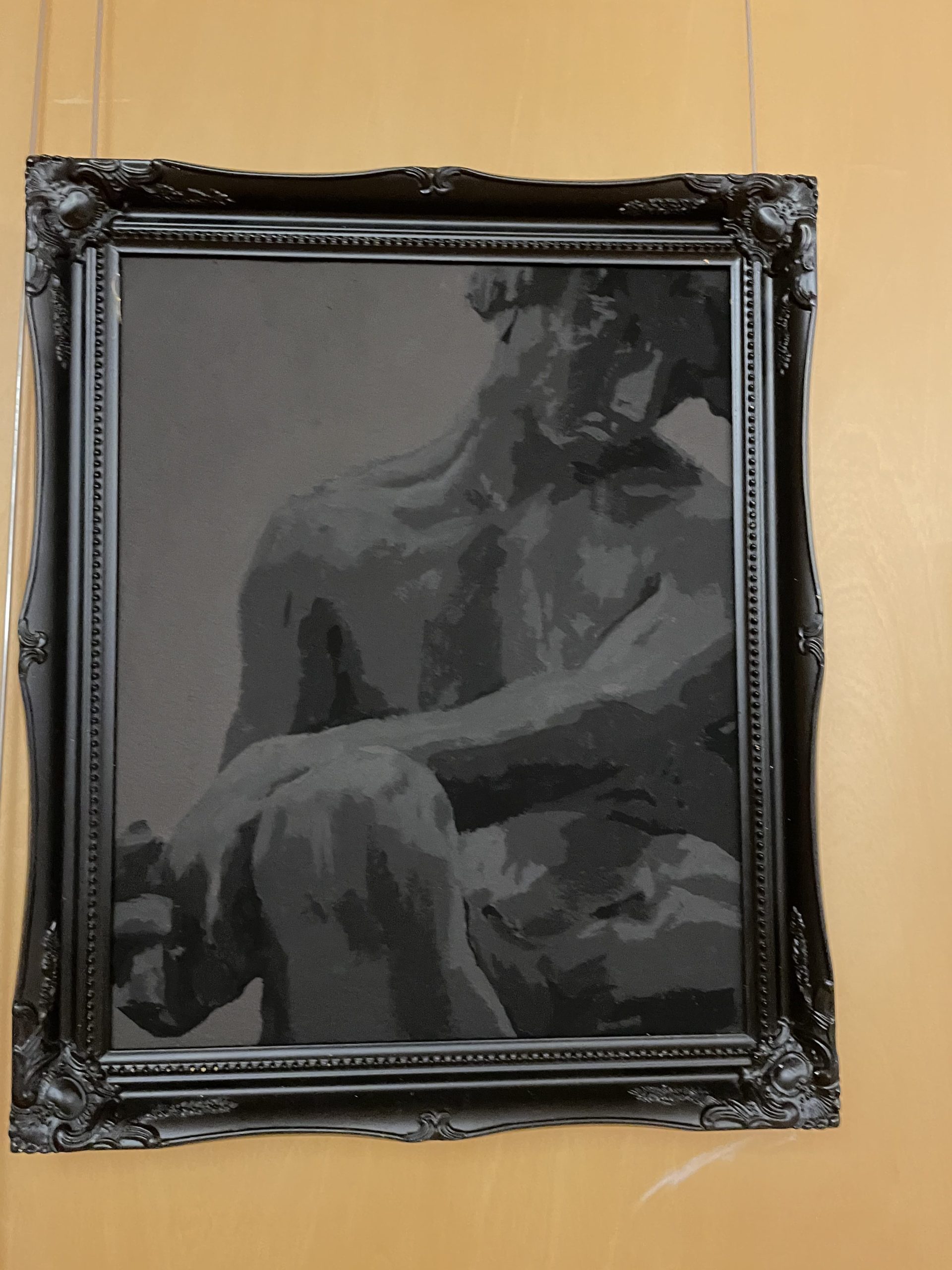
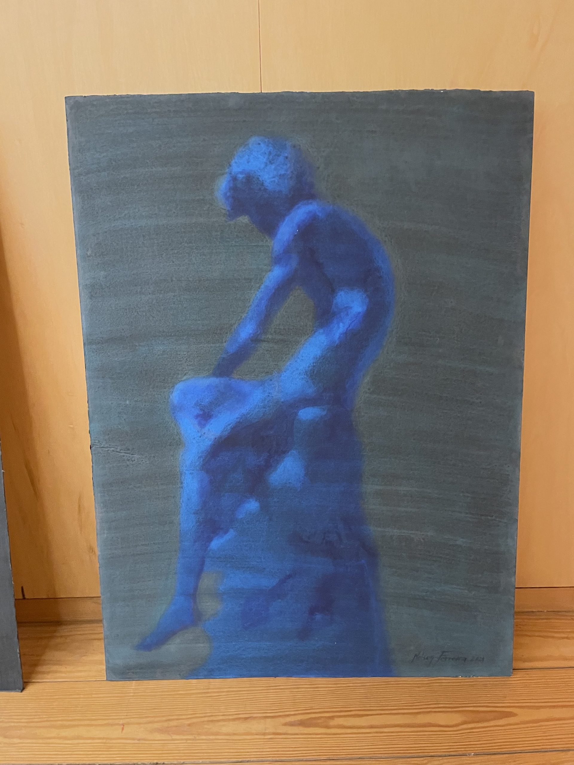
The following dark pictures looked almost totally black until you took a photo of them.
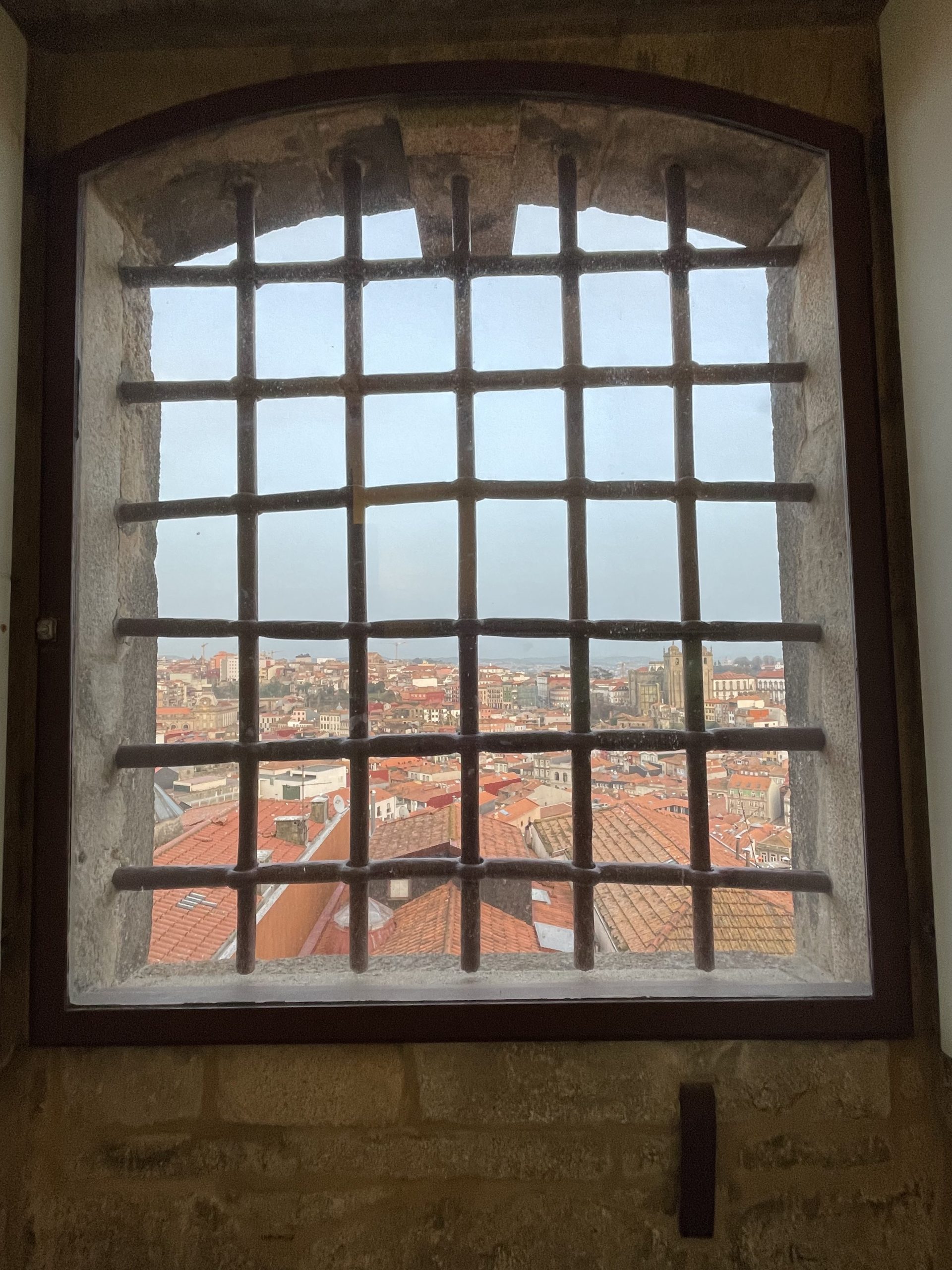
Miradouro da Vitoria
Igreja das Carmelitas
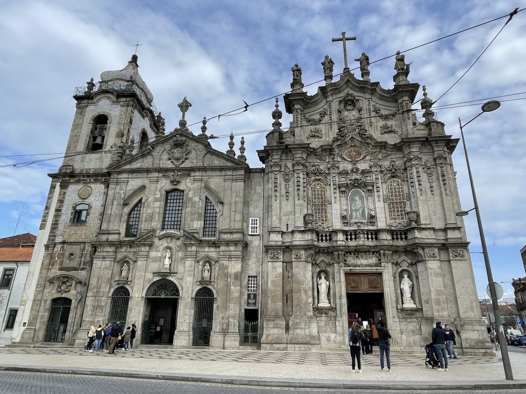
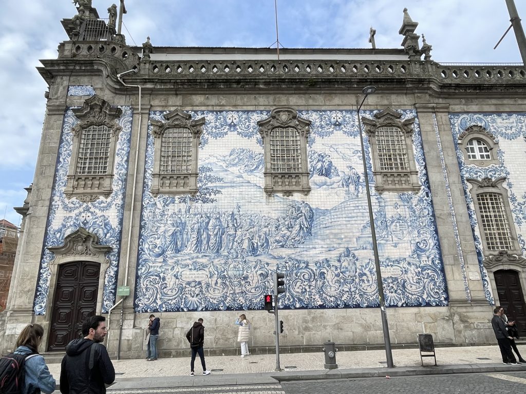
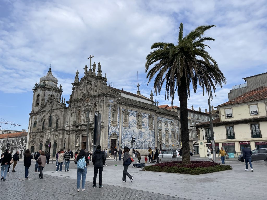
Centro Portugues de Fotografia – a prison used until 1974 now houses a huge display of cameras and some photos of prisoners and school children. No photos allowed!
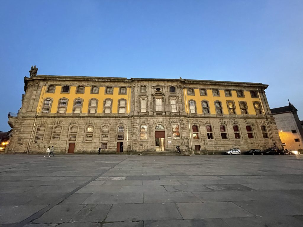
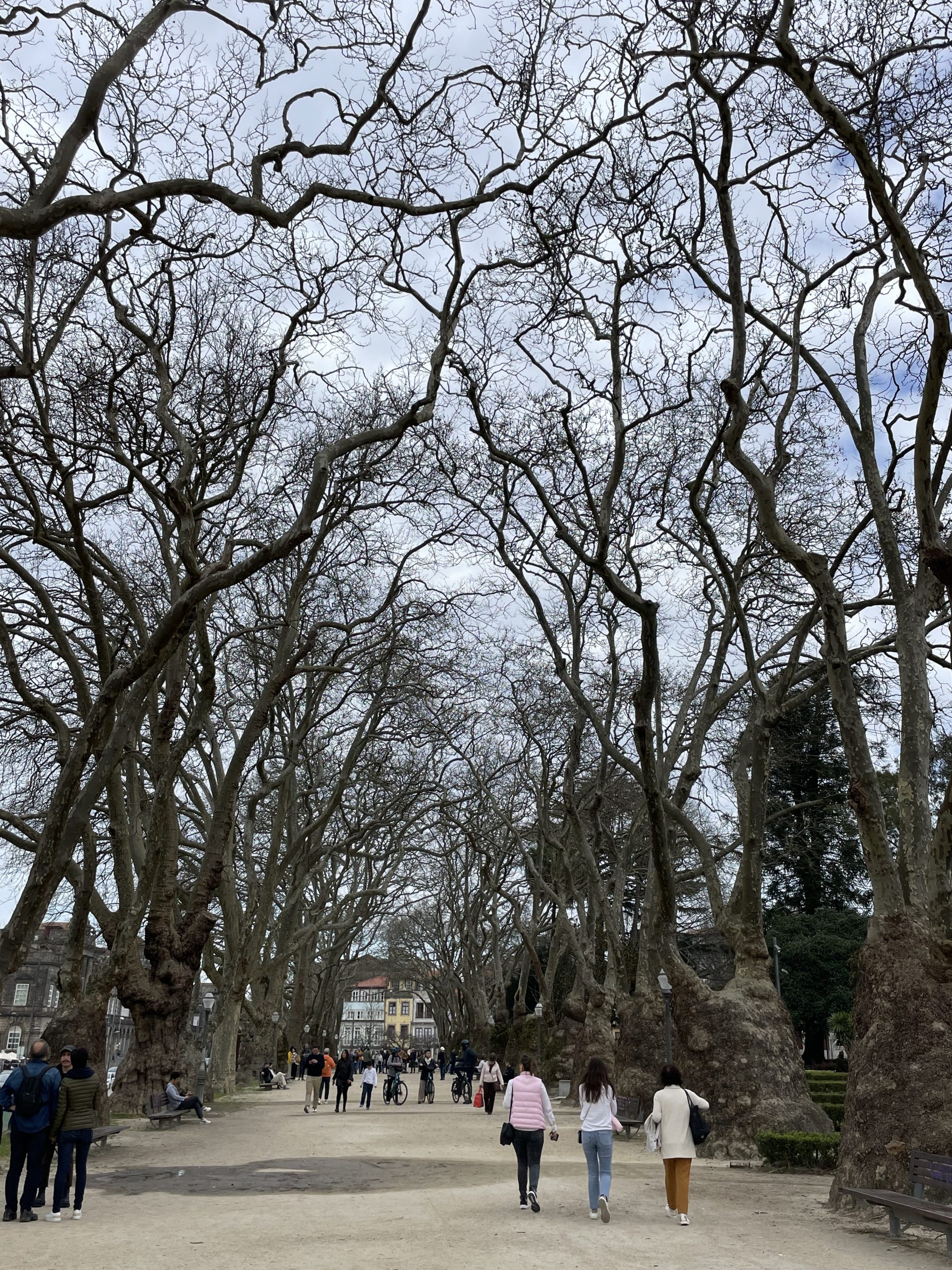
Jardines da Cordoaria
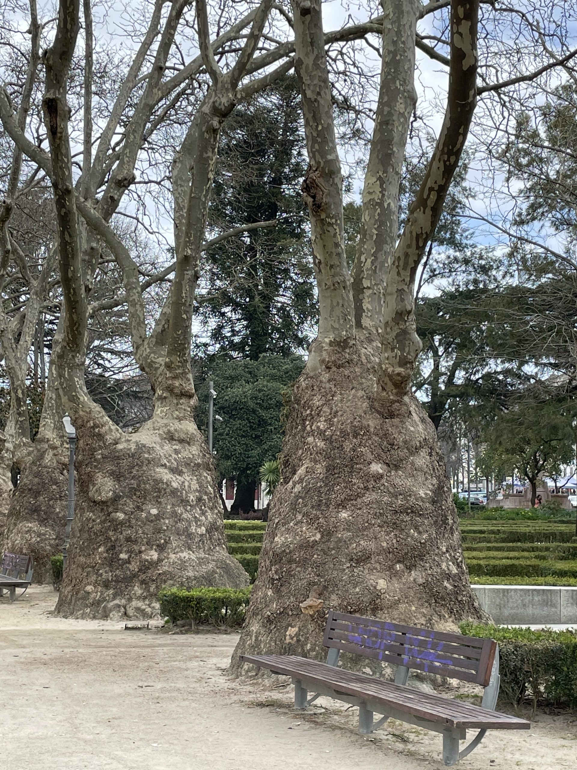
VILA NOVA DE GAIA
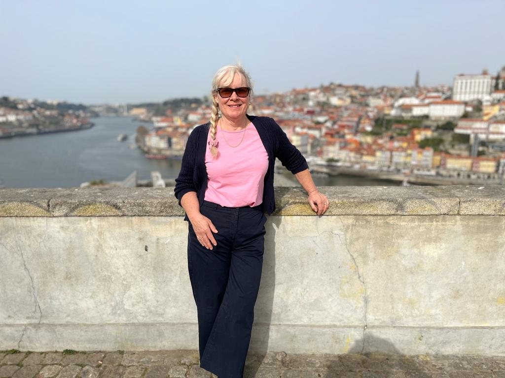
Jardim do Morro
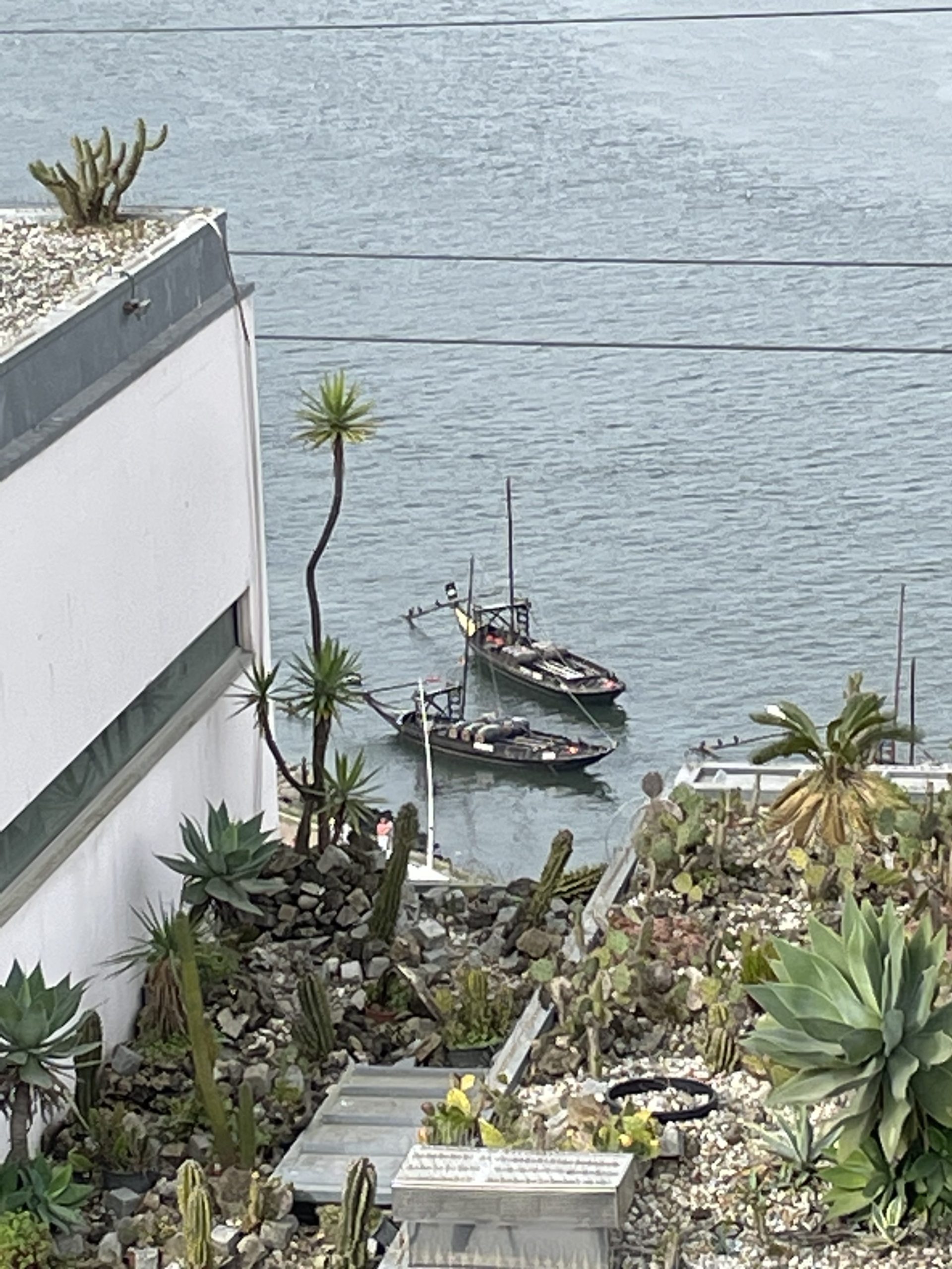
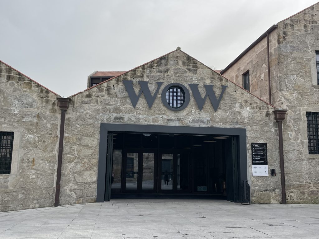
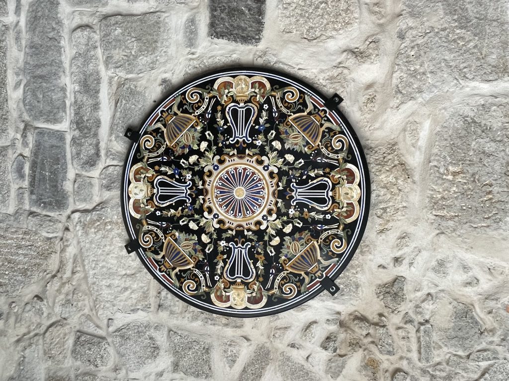
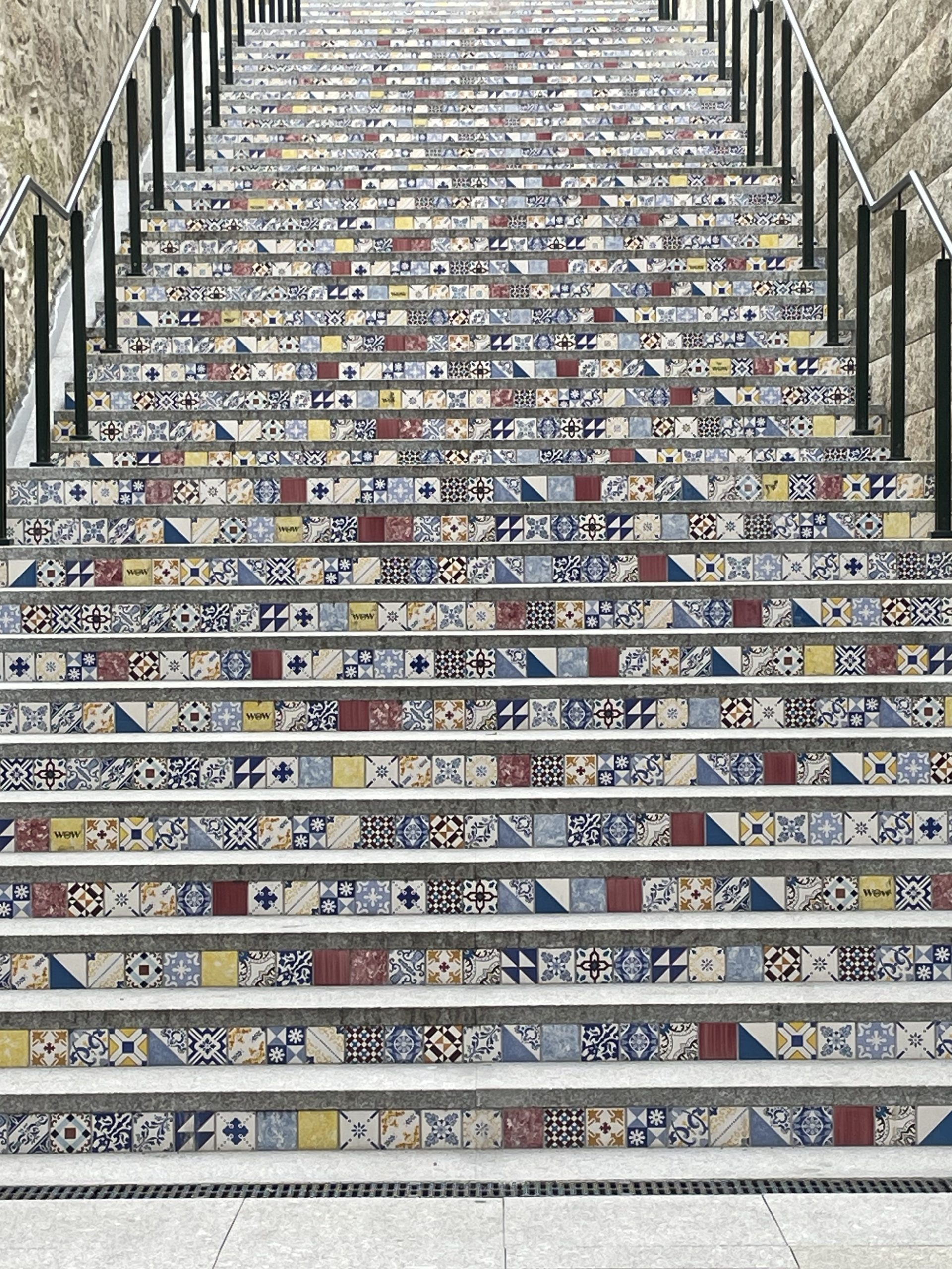
World of Wine
Teleferico de Gaia
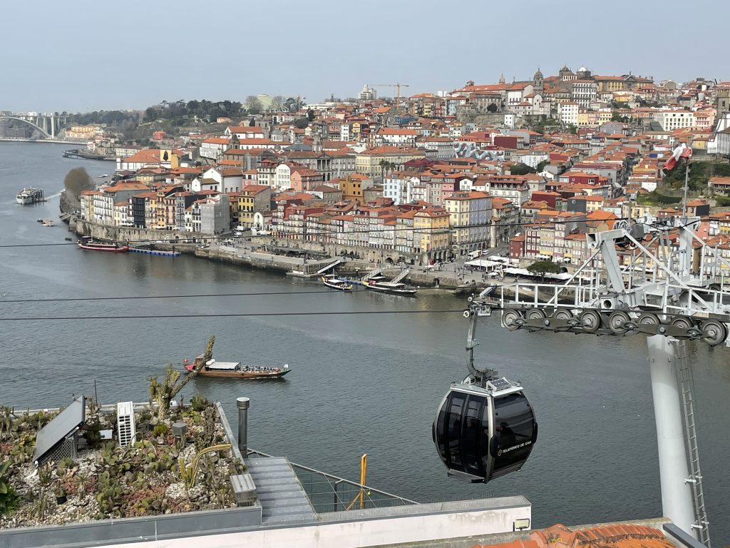
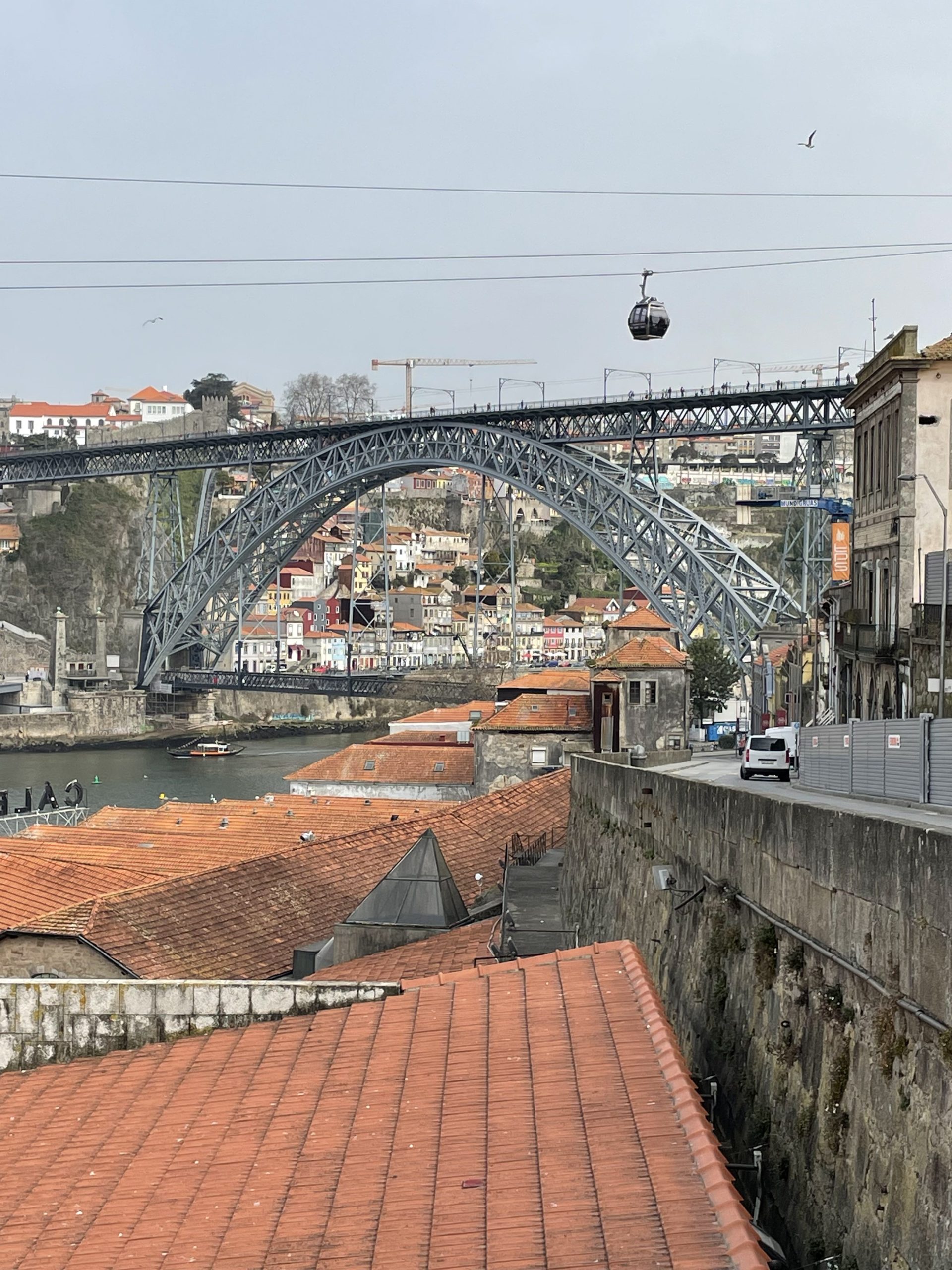
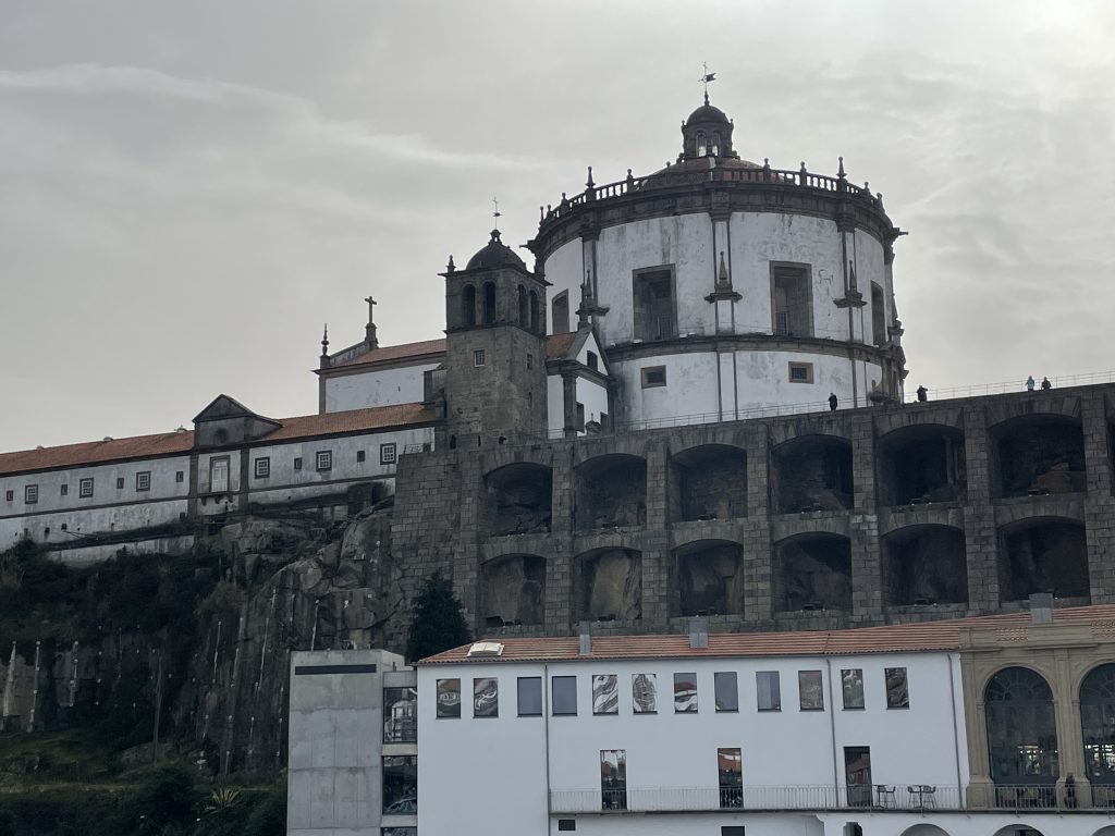
Mosteiro da Serra do Pilar
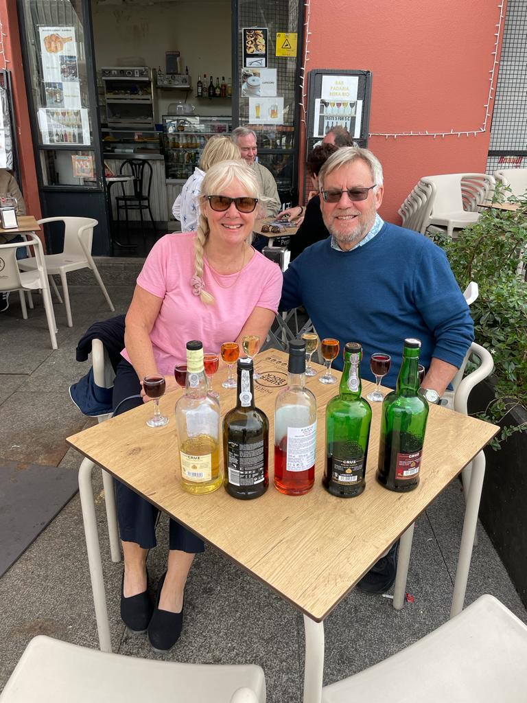
Port Tasting
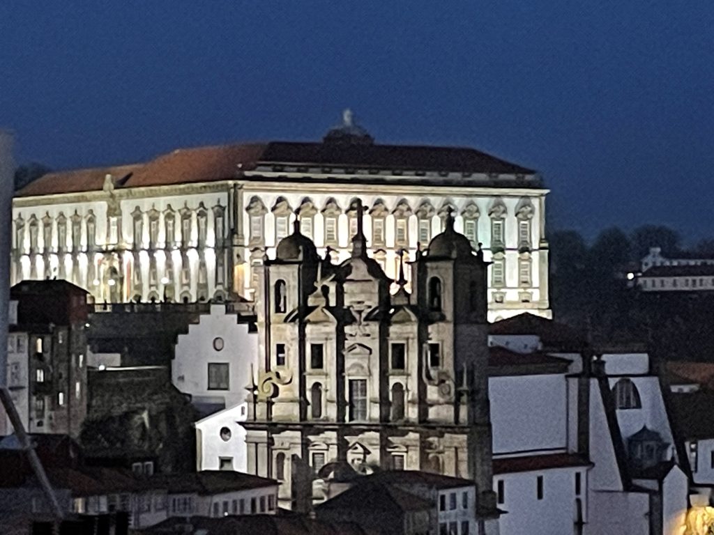
Porto at Night
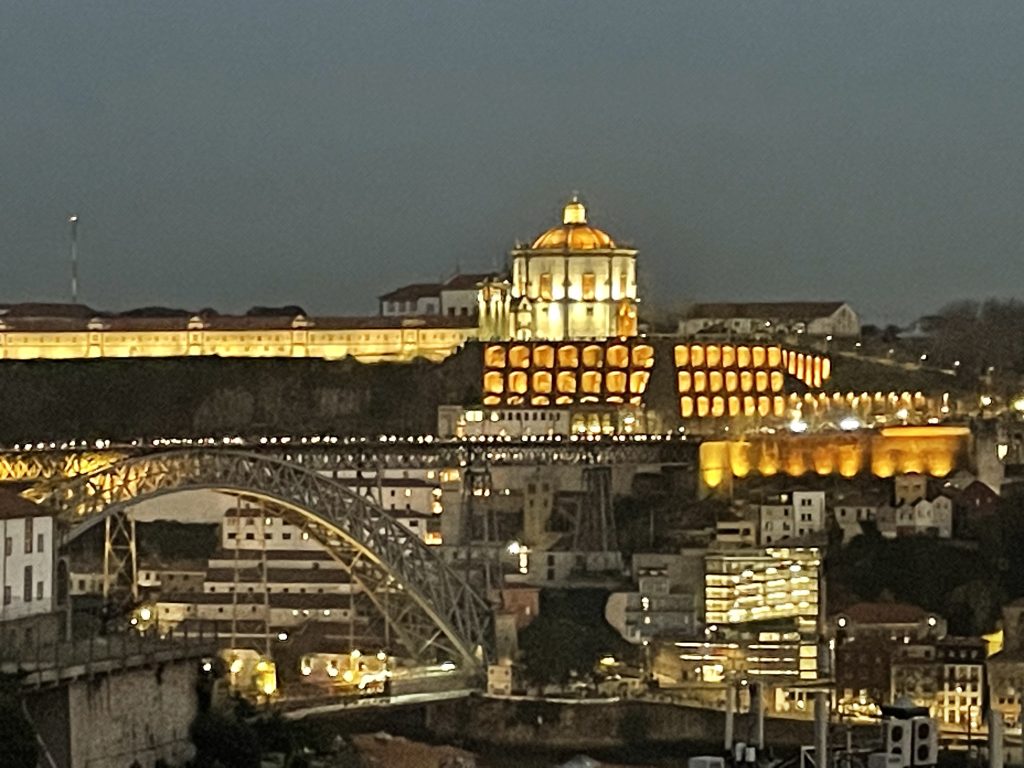
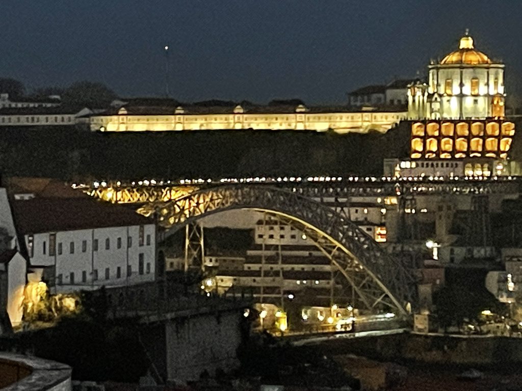
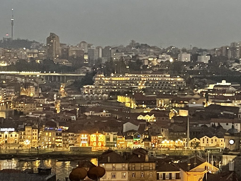
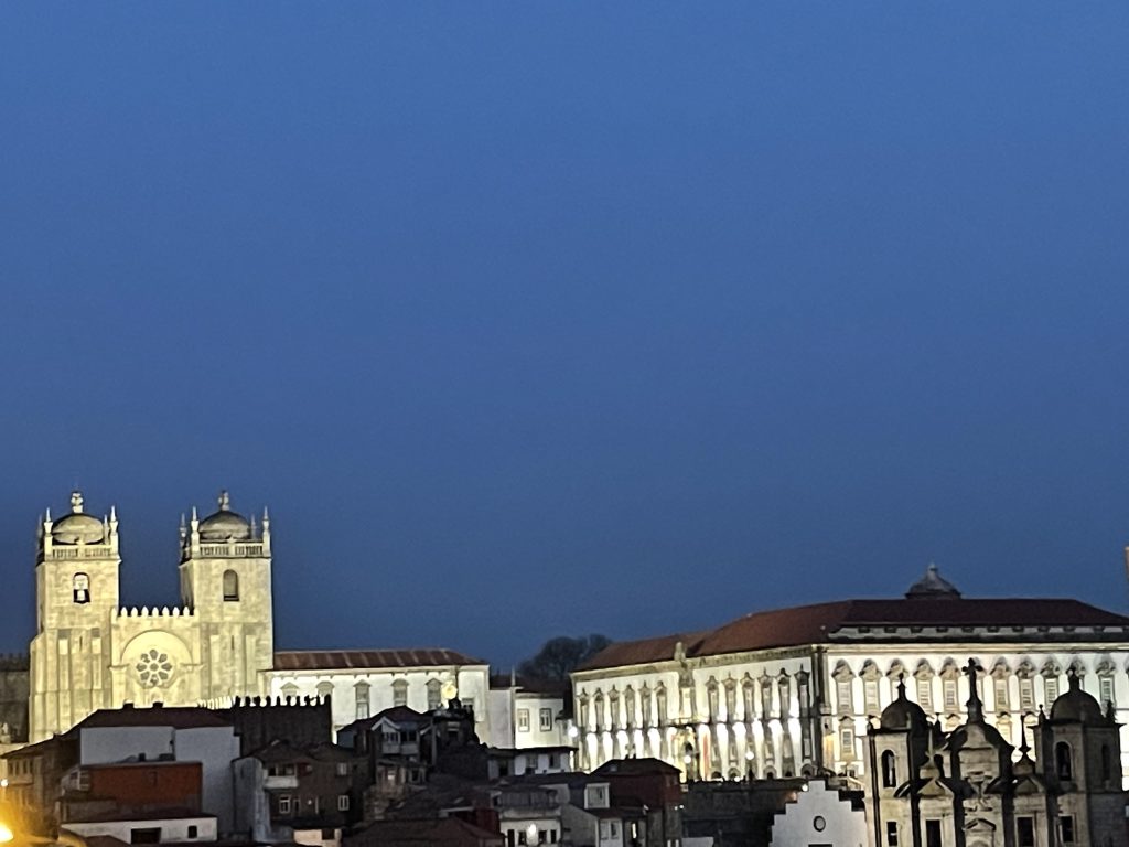
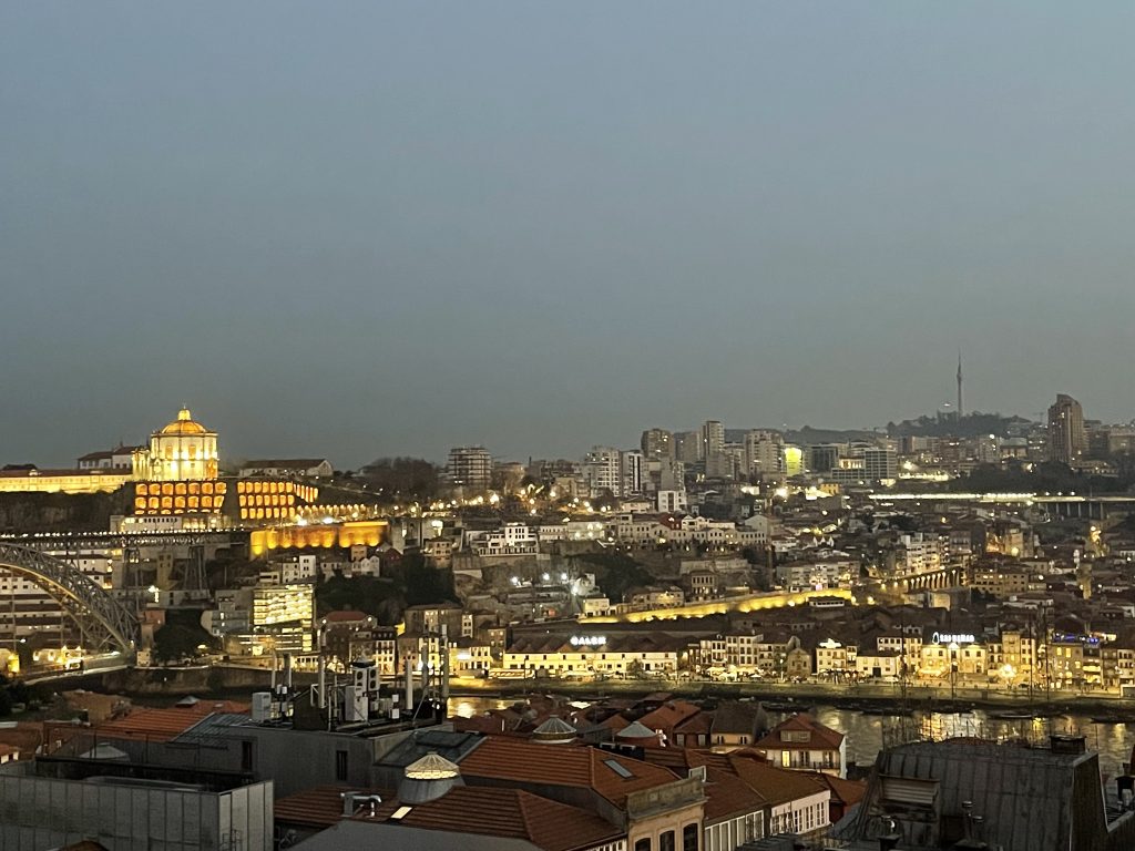
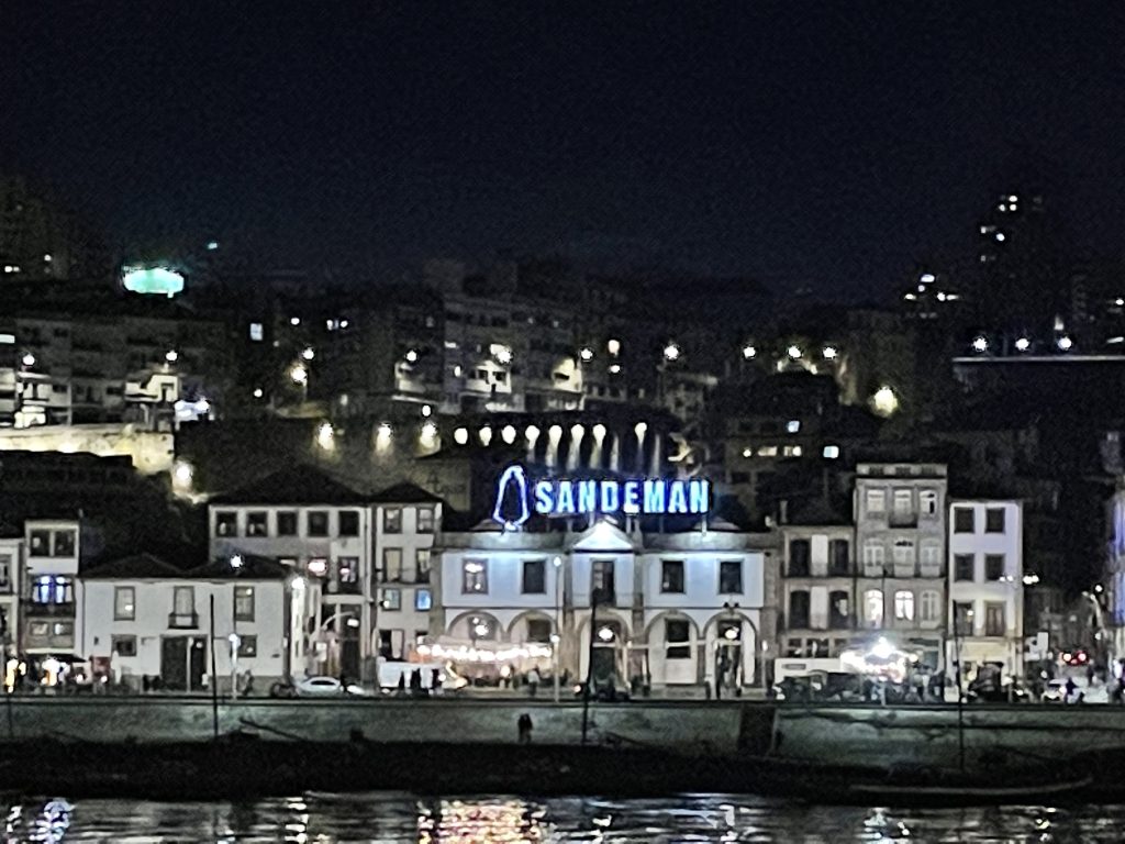
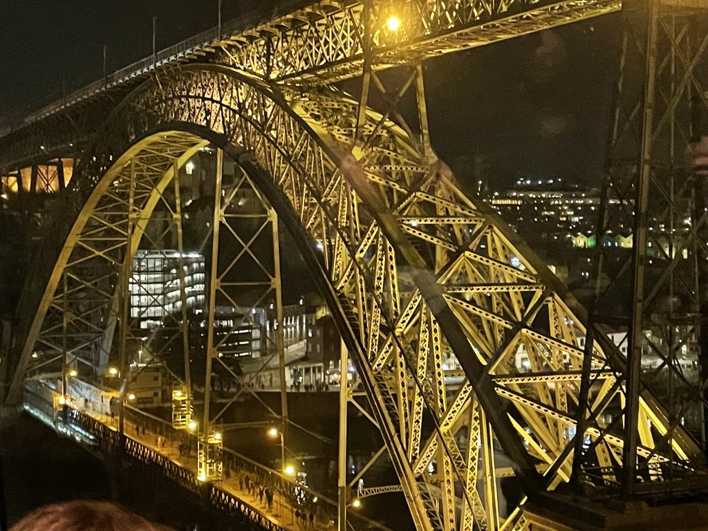
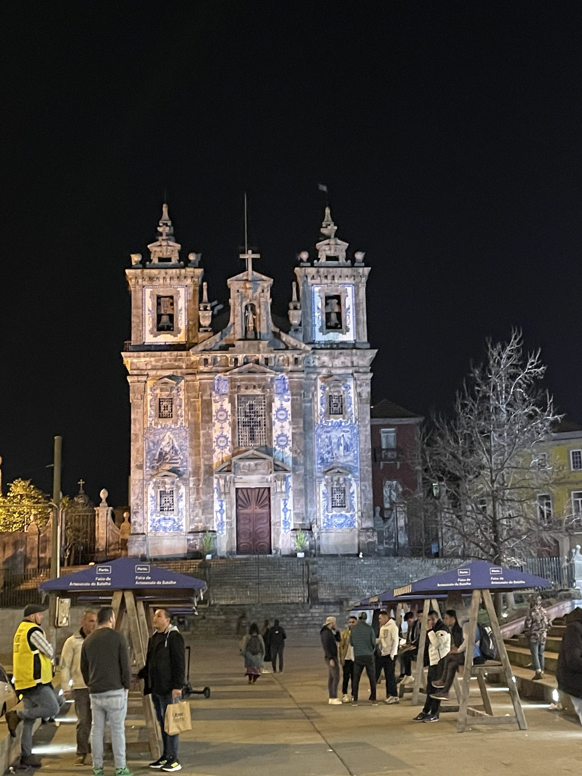
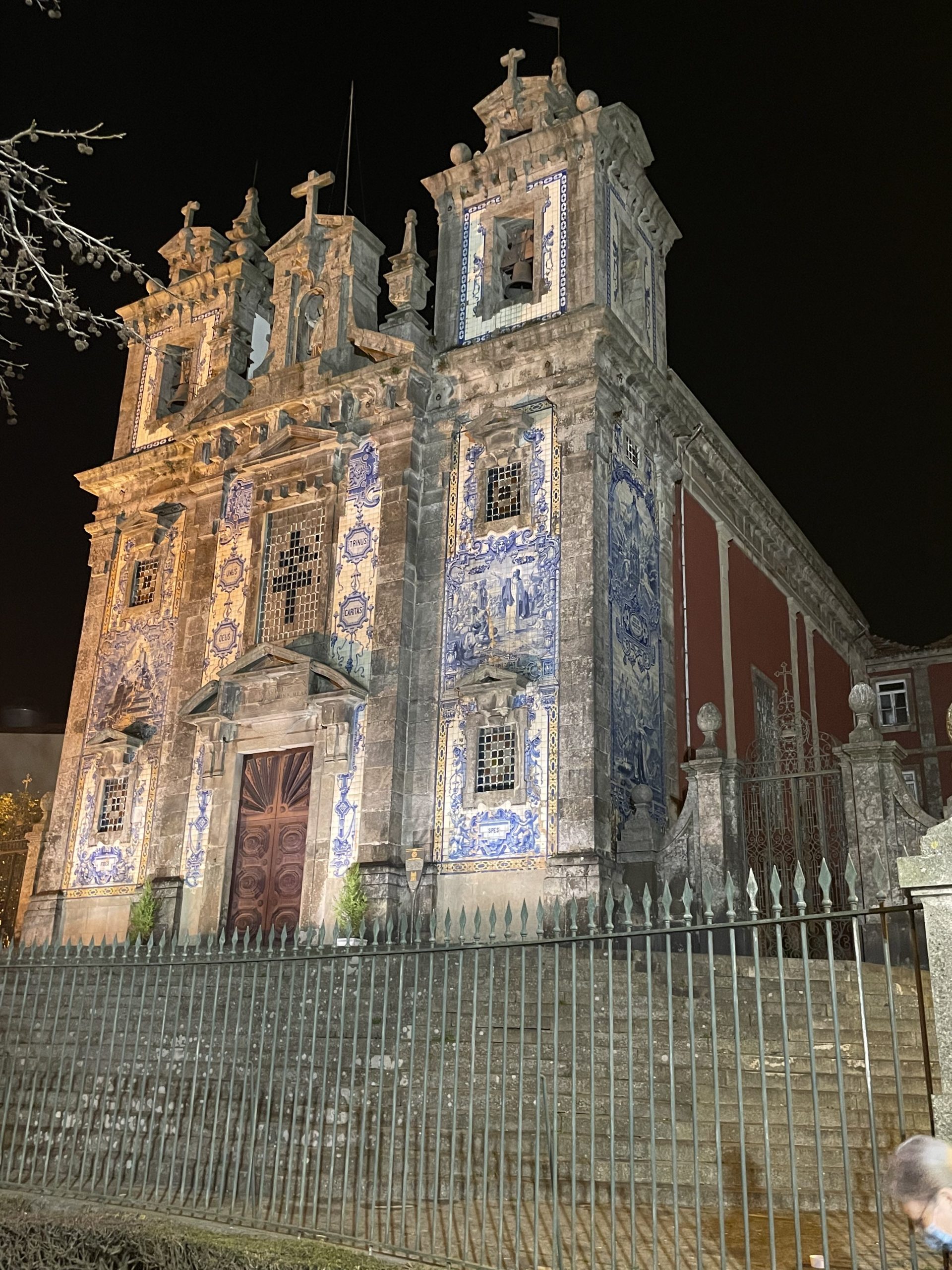
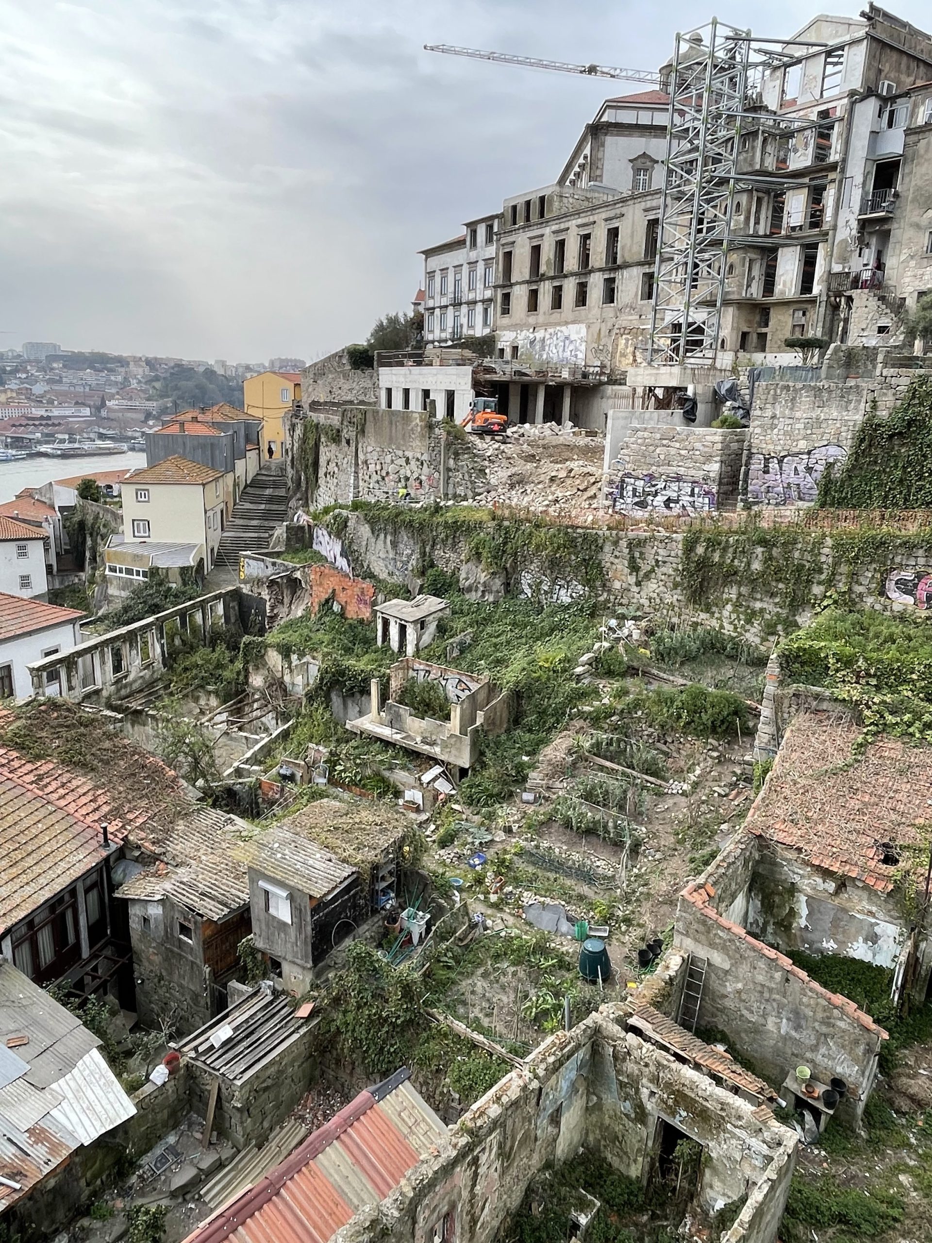
The Other Side of Porto – au Simon Reeve

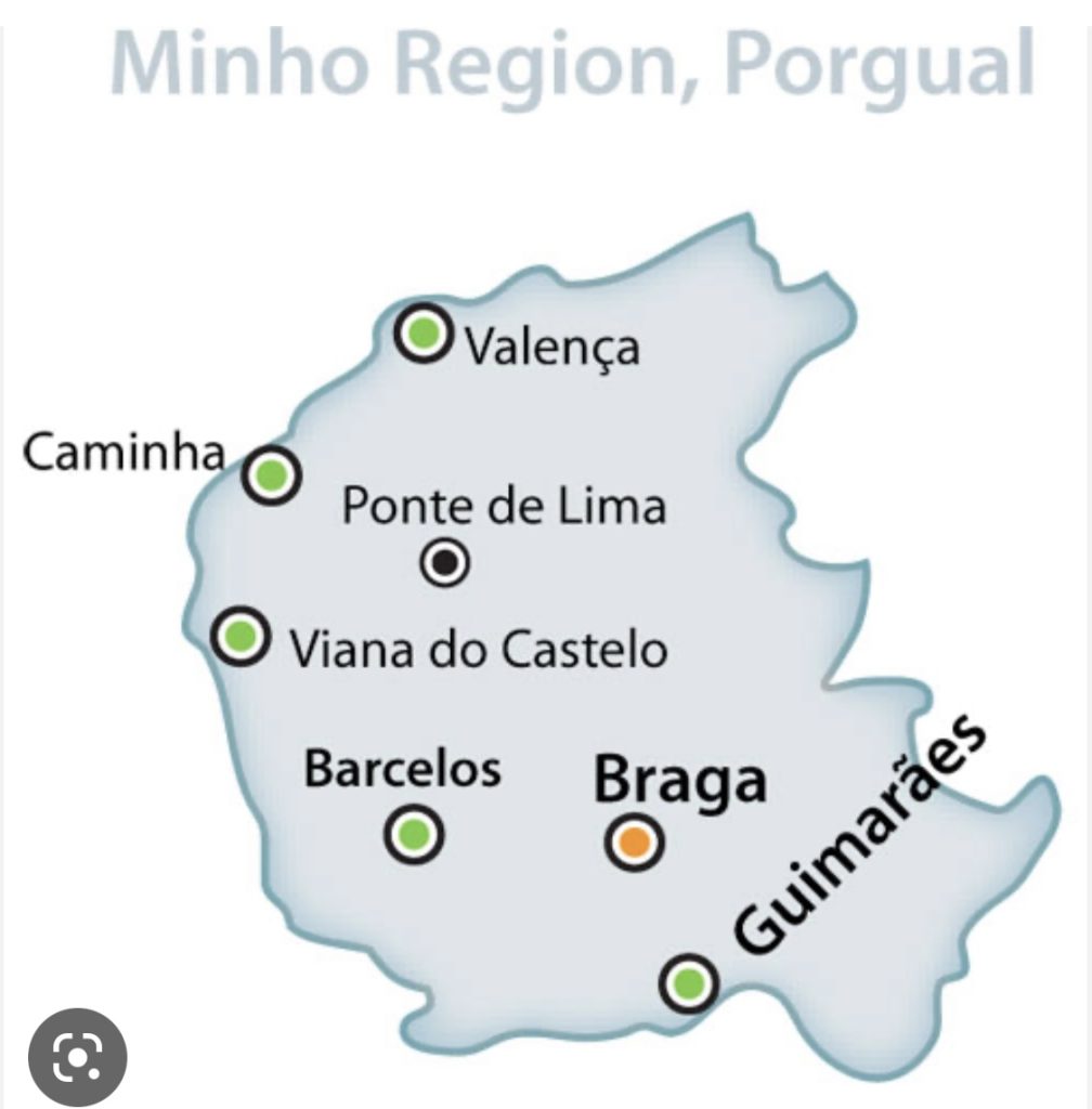
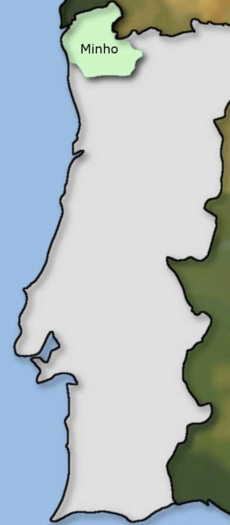
Although the Minho region is small – about the size of Norfolk in area – there’s a wide variety of scenery: two huge rivers – Rio Minho and Rio Lima; a mountainous National park – Peneda-Geres; the oldest Portuguese city and third largest – Braga; the largest weekly Portuguese market – Barcelos; a world renowned wine region – Vinho Verde; and a fabulous coastline – Costa Verde – with the significant port of Viana do Castillo.
It might be the same all over Portugal, but there are certainly a lot of cobbled roads in the Minho region. Not sure our bikes, or teeth, will cope with much more!
The people are always busy. In the rural areas there are many small-holdings which require a lot of labour. At this time of year it’s mostly vine pruning and burning. In the towns, you can usually see groups of men of a certain age hanging out together, in bars, or just on benches.
The average stature is small and petite, they look hardy and wear practical clothes. We’ve got the impression that they are well-mannered and conservative with a small ‘c’.
Unfortunately we haven’t seen many people smiling. Even on Valentine’s Day when we went to a restaurant in the evening which advertised a ‘romantic’ evening, there wasn’t any smiling or laughing amongst the diners. It was noticeable that the average age of the diners was about 60, which was a surprise on Valentine’s night!
Compared to the Spanish, the northern Portuguese are very quiet. We’ve not come across anyone talking loudly into their phones which is a main activity in Spain. Also, compared to Spain the dogs are very small, but they still bark all night like the Spanish dogs do!
Each Thursday, Barcelos, a town west of the city of Braga, which sits on the Rio Cavado, holds its weekly market, supposedly the largest in Portugal. We arrived late morning to find more stalls and stall holders than customers, which was rather sad. Each stall was beautifully laid out, some must have taken hours.
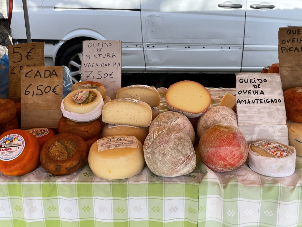
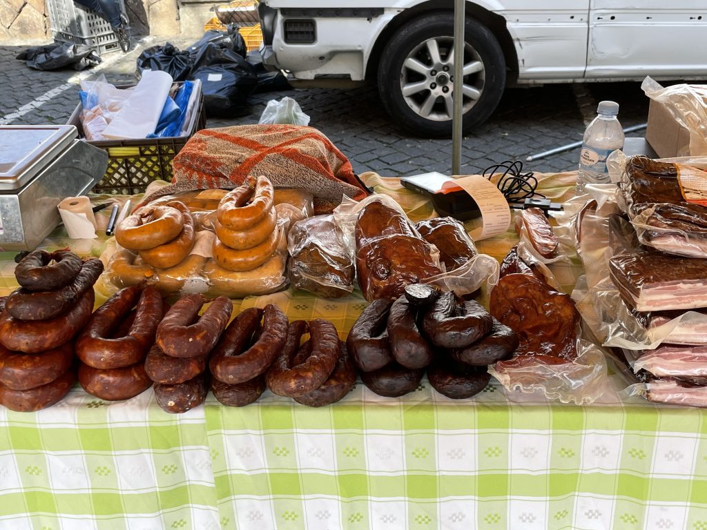
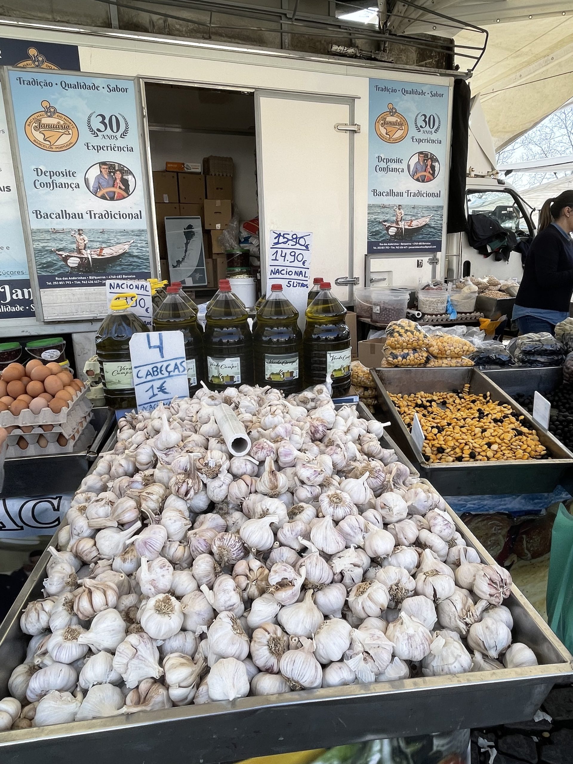
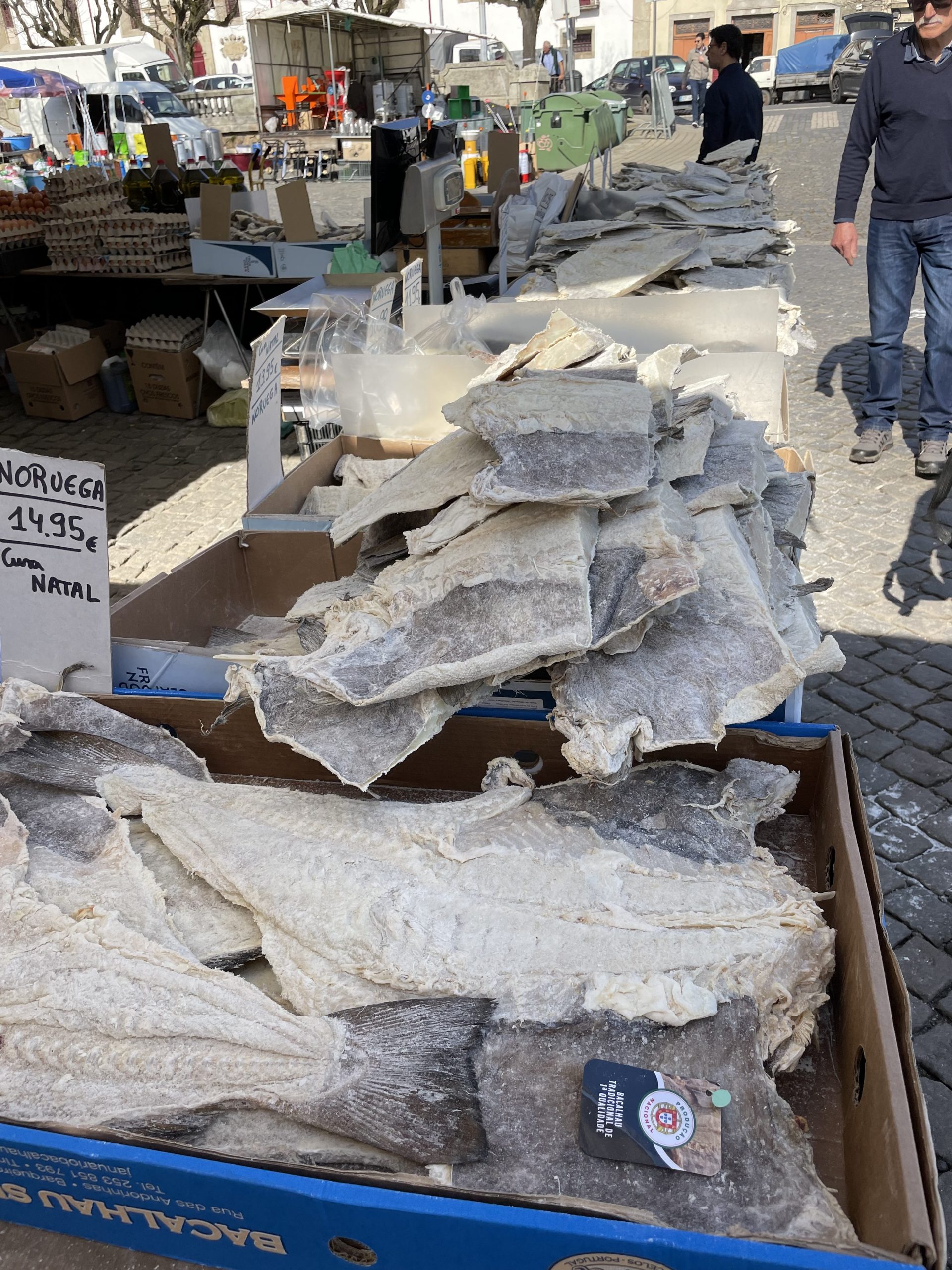
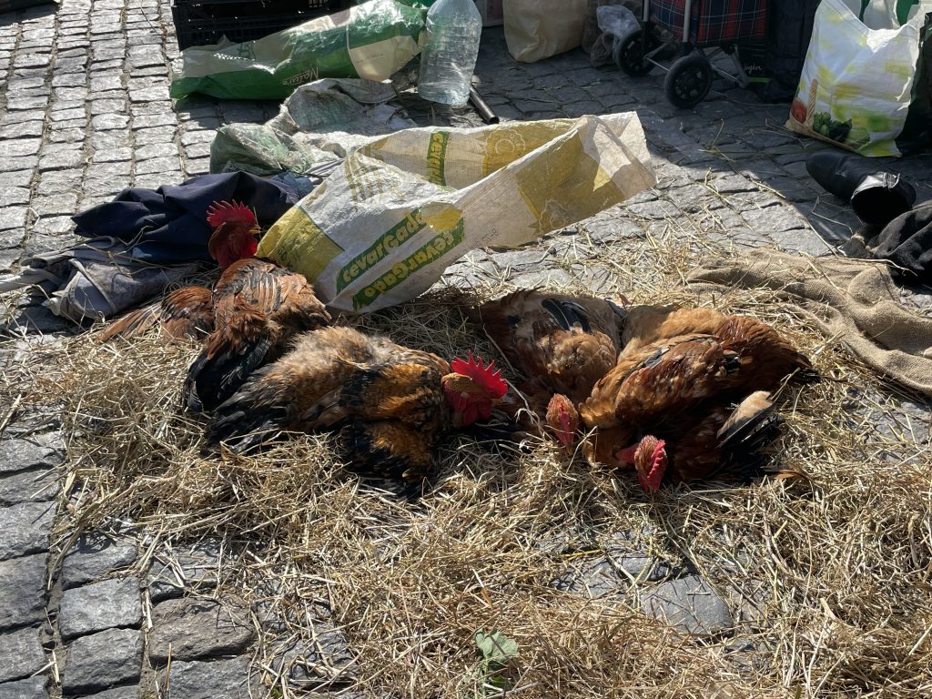
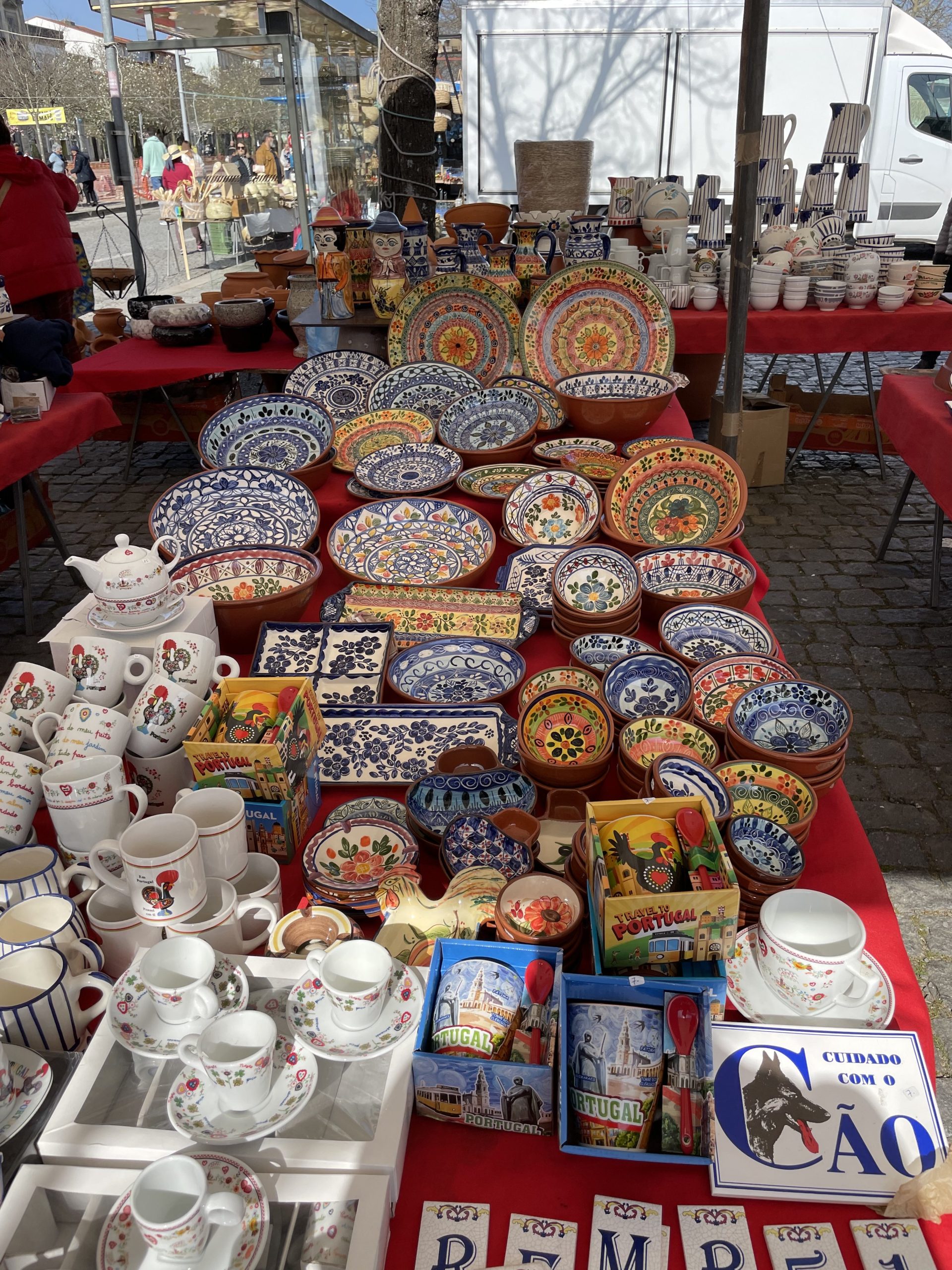
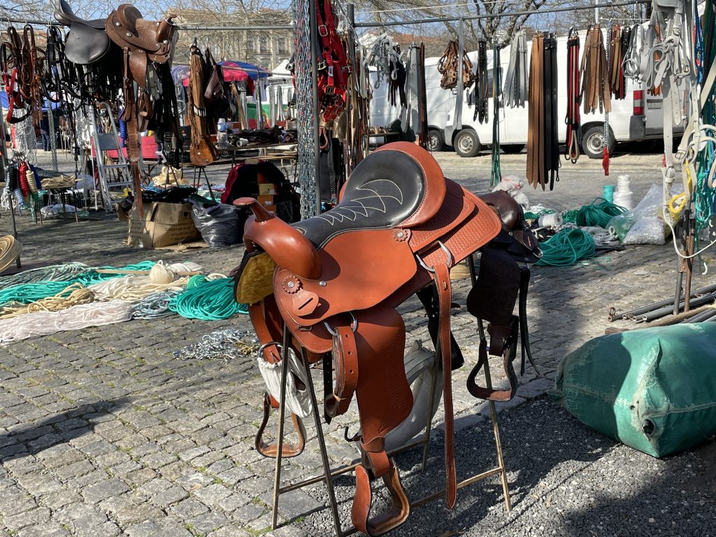
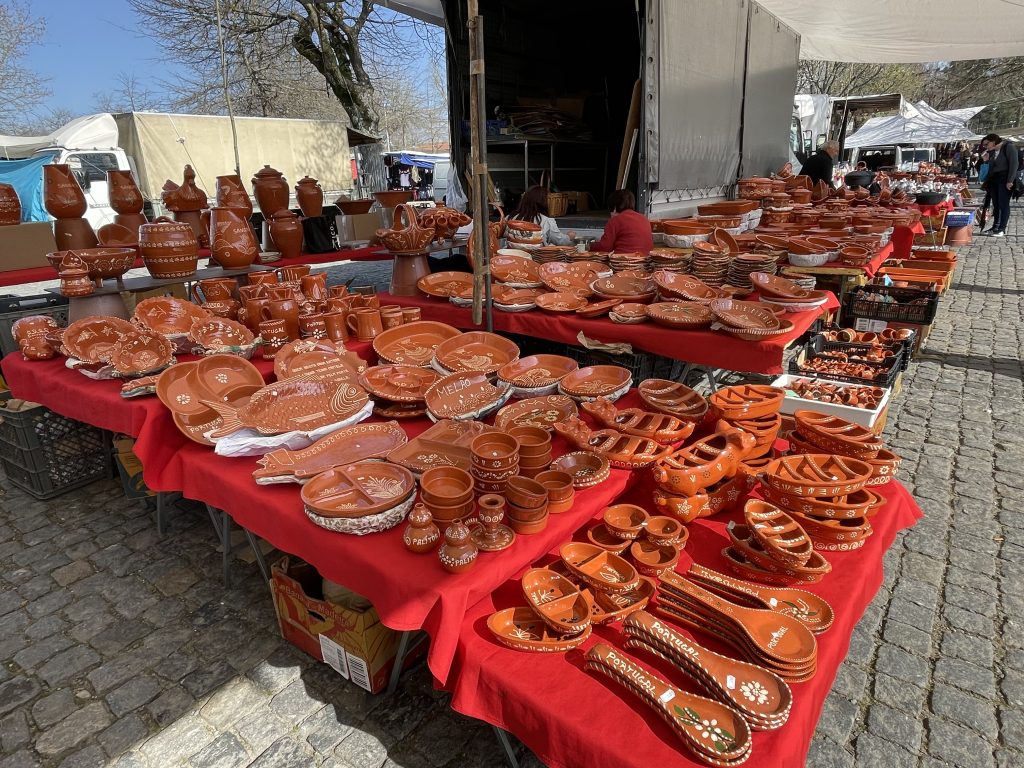
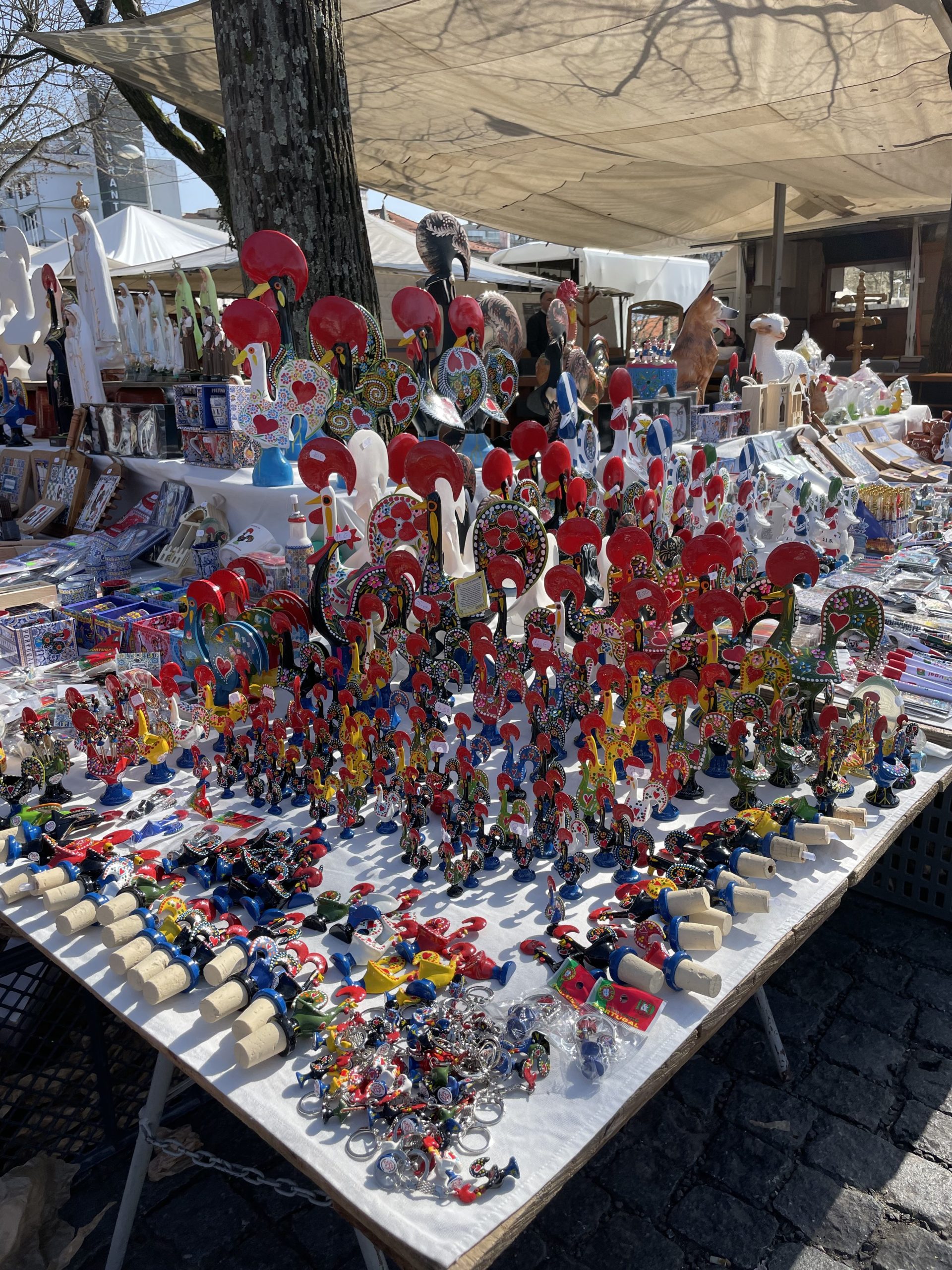
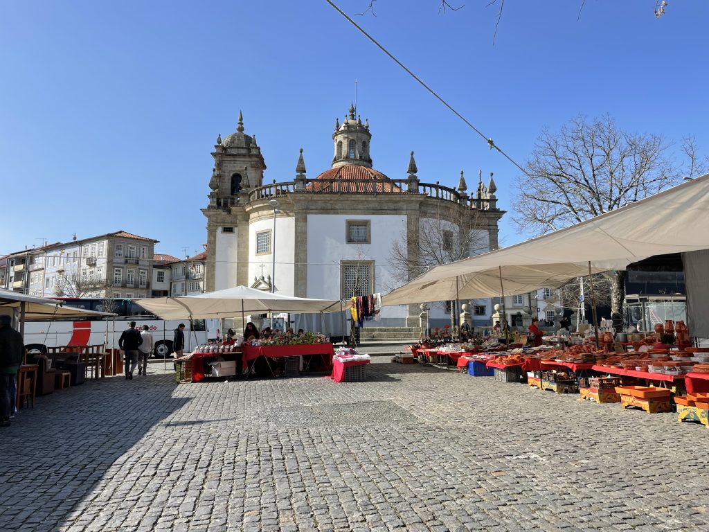
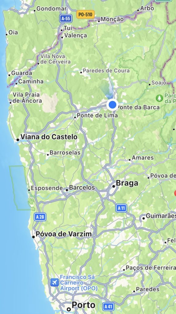
We are still in the Minho region of Portugal, in the far north, as it is the warmest part at the moment and the scenery is varied: hills, mountains, interesting towns, villages with small-holdings, rivers, and the Atlantic beaches which we will visit in the next few days.
Ponte da Barca is the next town upriver, on the Rio Lima, from Ponte de Lima where we started our Portuguese adventure six days ago.
It’s Sunday so we had the pleasure of seeing some Portuguese village entertainment this afternoon. There was an event for young dancers, mostly ballet, which was held on a platform on the side of the road. There was a semi circle of proud mums and dads gathered around them. The dancers were very good, but unfortunately the guy doing the music kept playing the wrong piece, to the annoyance of the Prima Donna, (and to our amusement).
The other entertainment was mostly for our age group. Under a marquee on the corner of a street there was a group of accordion players and guitarists who were surrounded by dancing couples. The men had castanets and kept the beat as they danced round with their partners. It reminded us of a Scottish ceilidh.
The cycle routes along the banks of the Rio Lima were great, some flat surfaces amidst tree roots and sandy patches to keep you on your toes, literally! There were hardly any other cyclists so we enjoyed the serenity of the very green clear water racing downstream to the Atlantic. Occasionally there were small waterfalls and rapids, some white water rafting would have been nice.
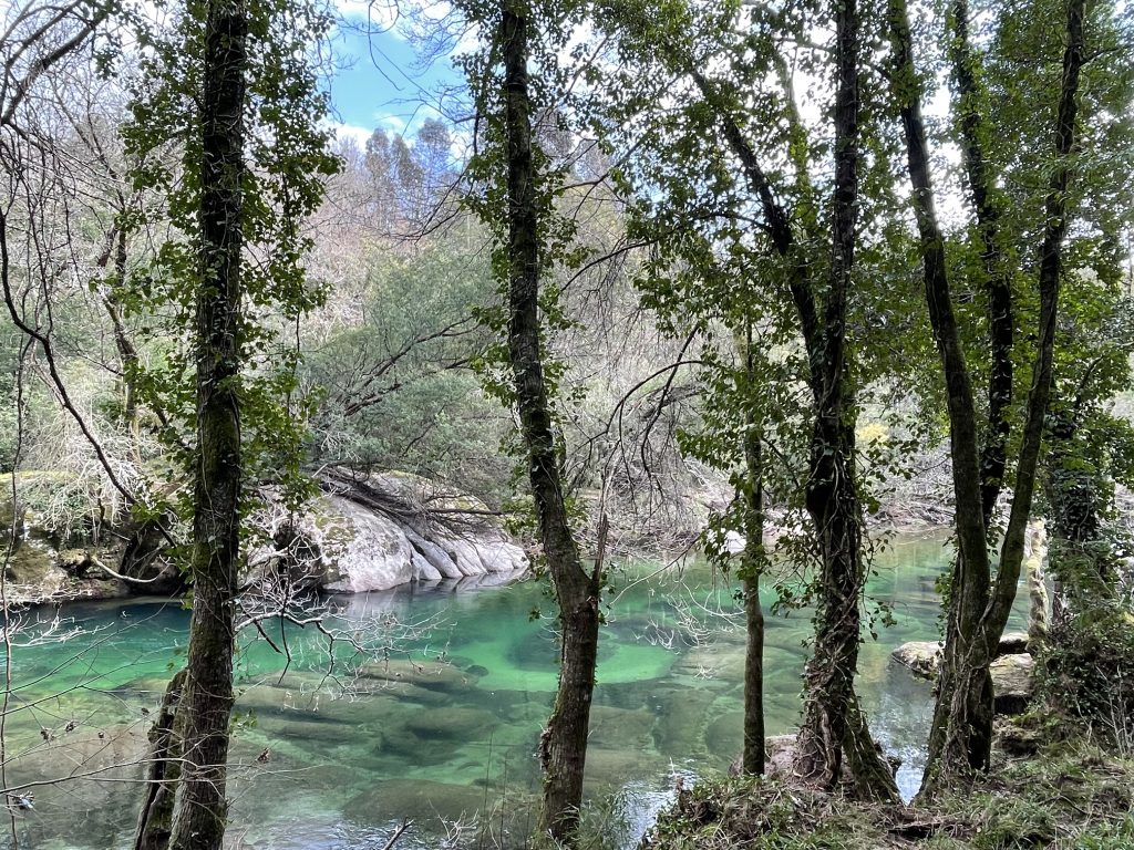
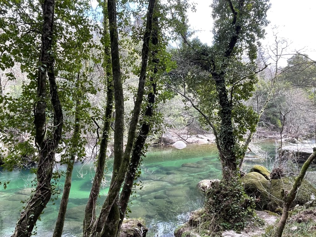
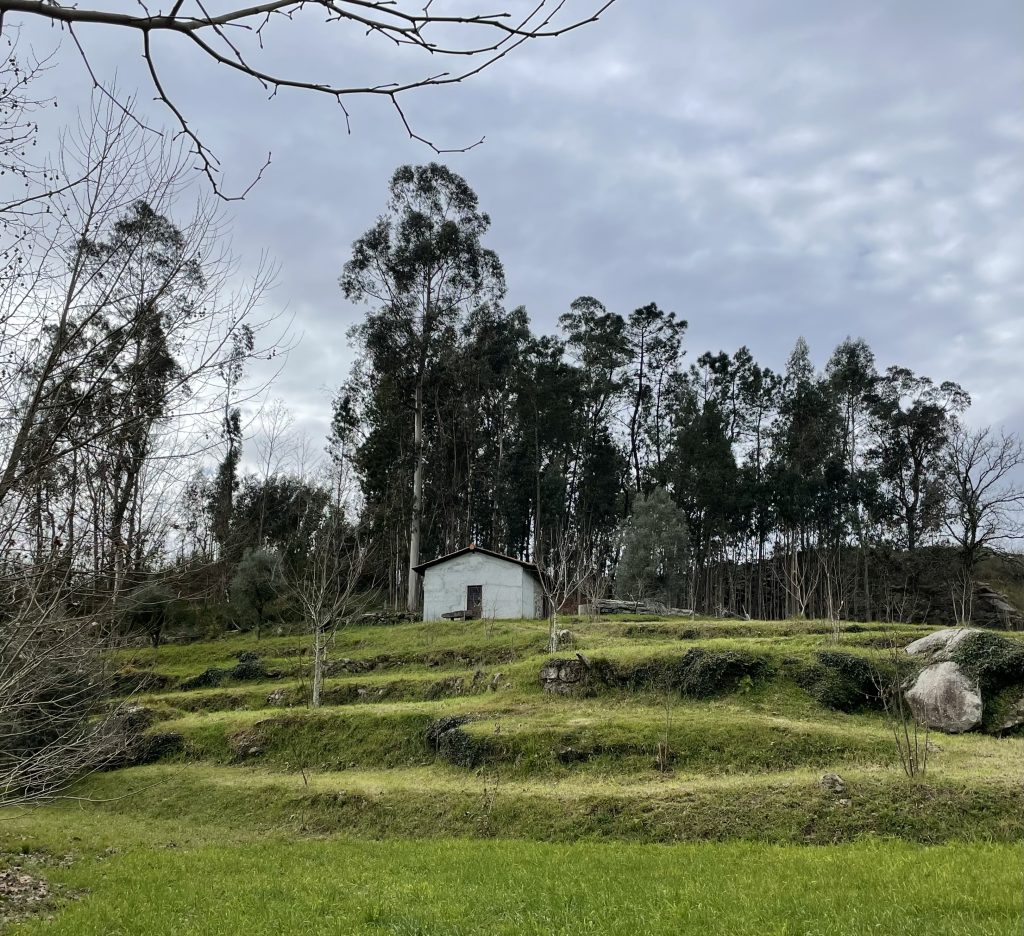
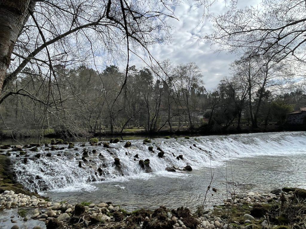

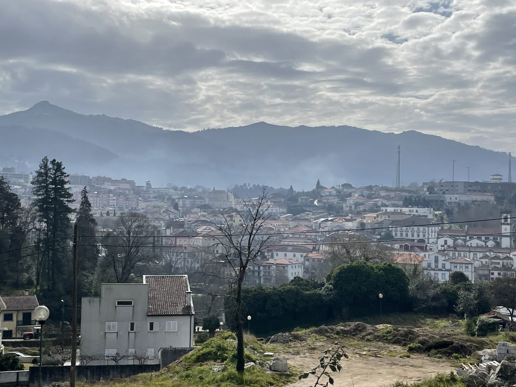
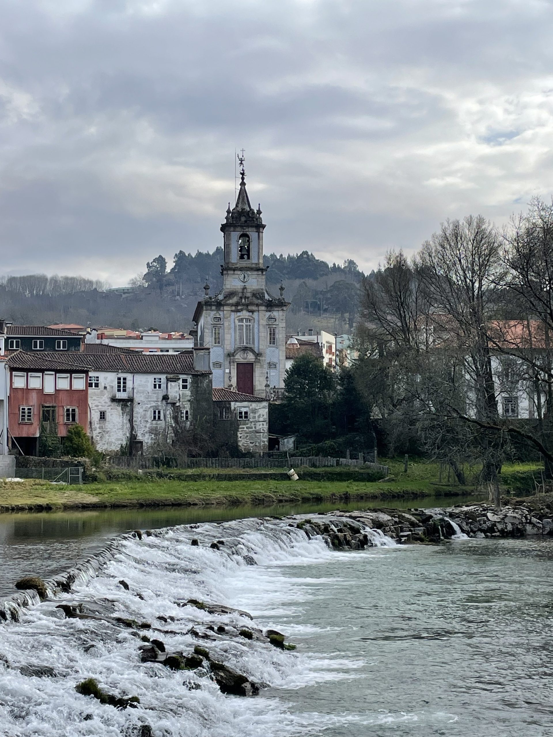
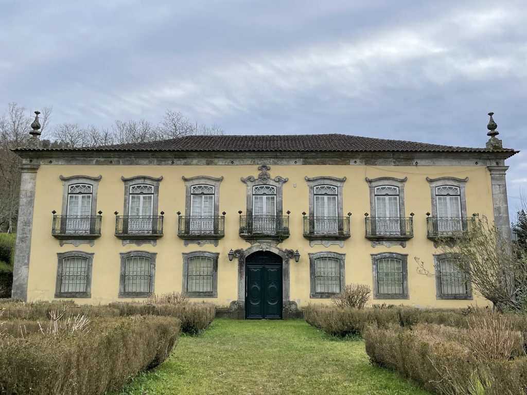
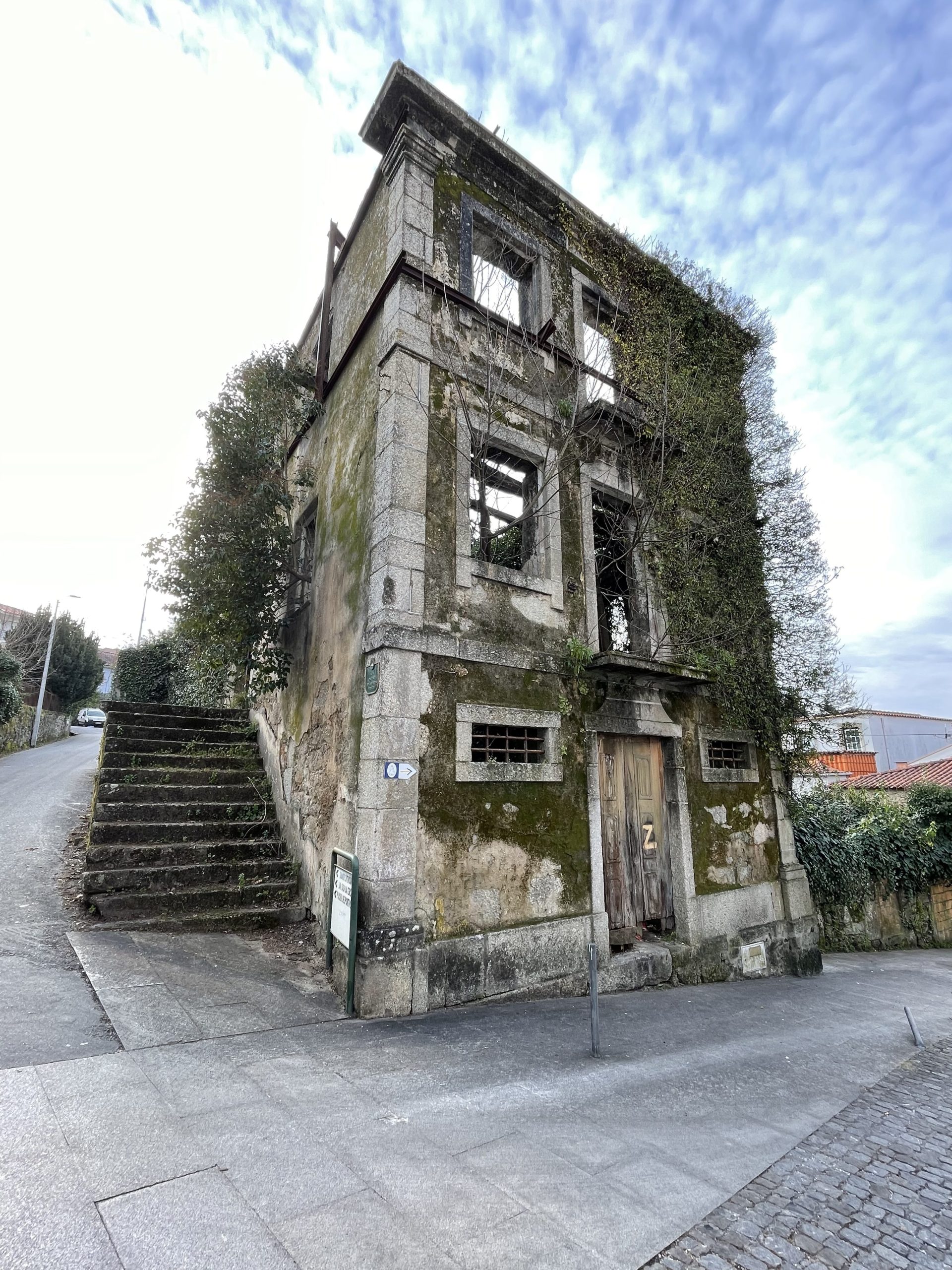
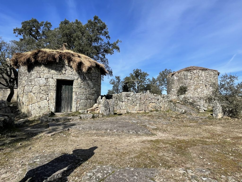
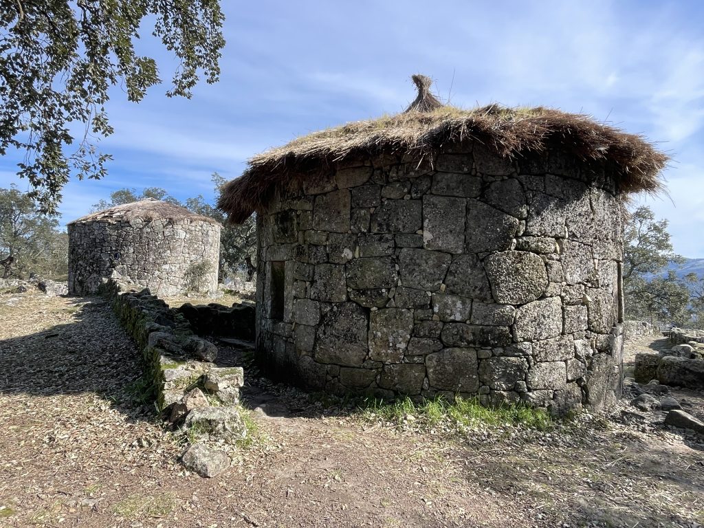
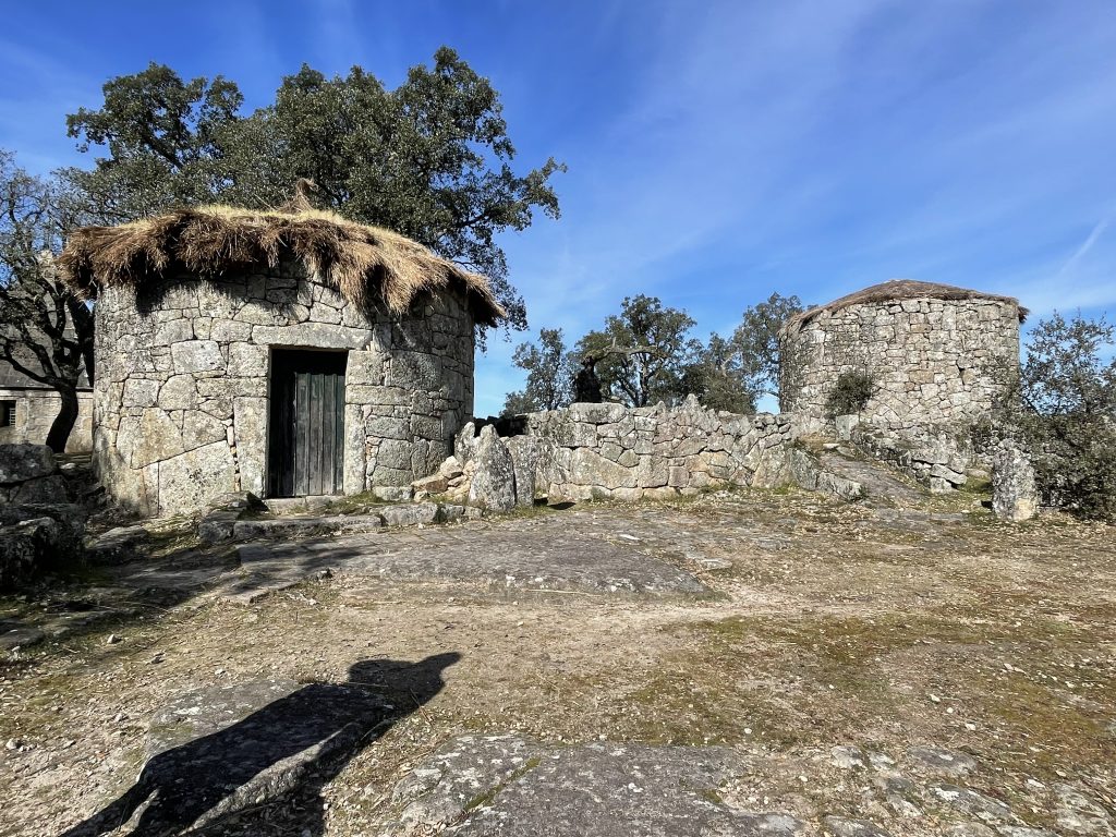
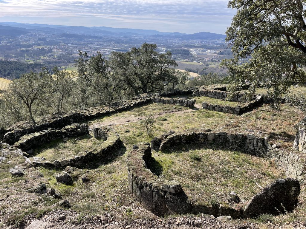
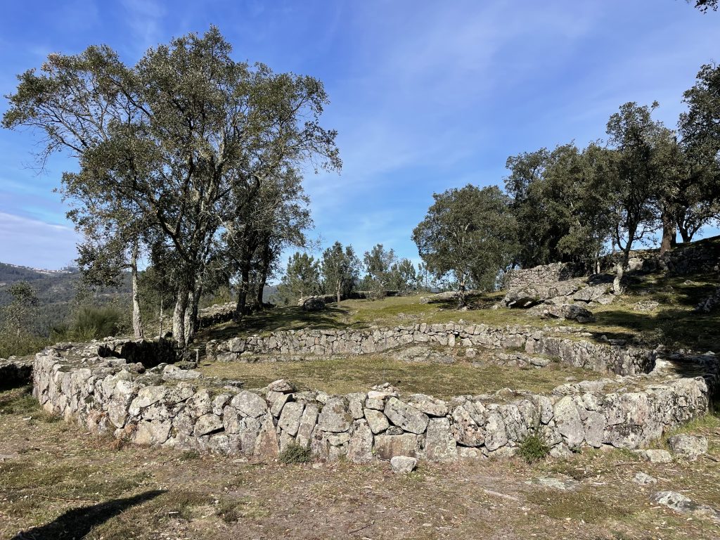
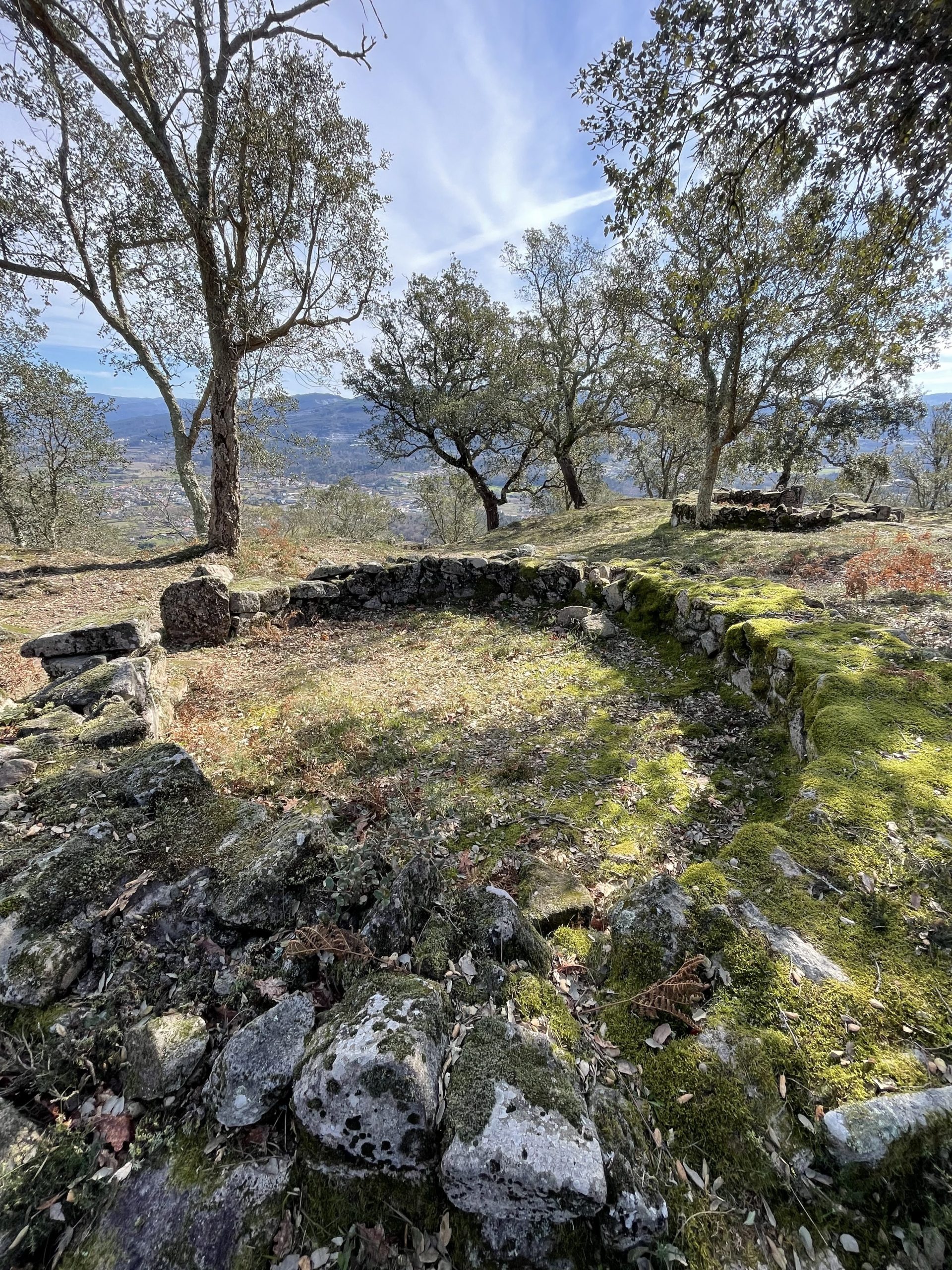
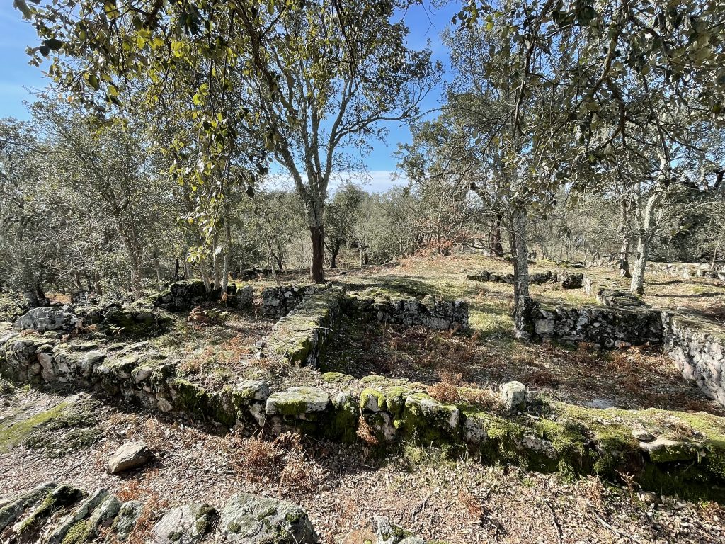
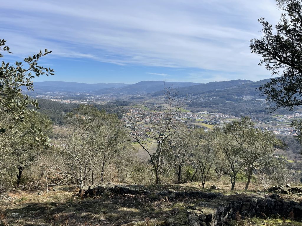
A well-preserved pre-Roman settlement and fortress on a hilltop between Braga and Guimaraes.
We parked our camper overnight at a local vineyard which makes red and rose vinho verde.
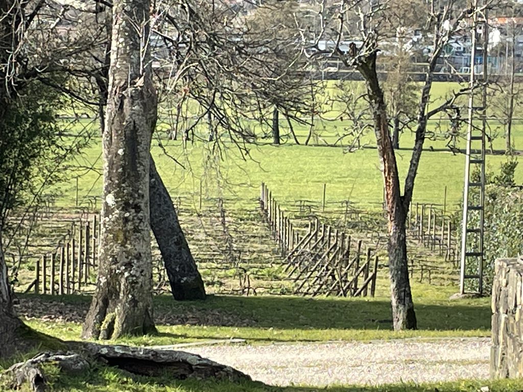
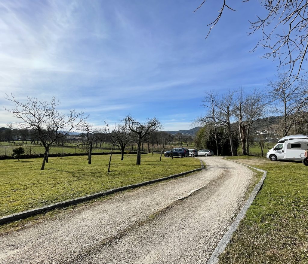
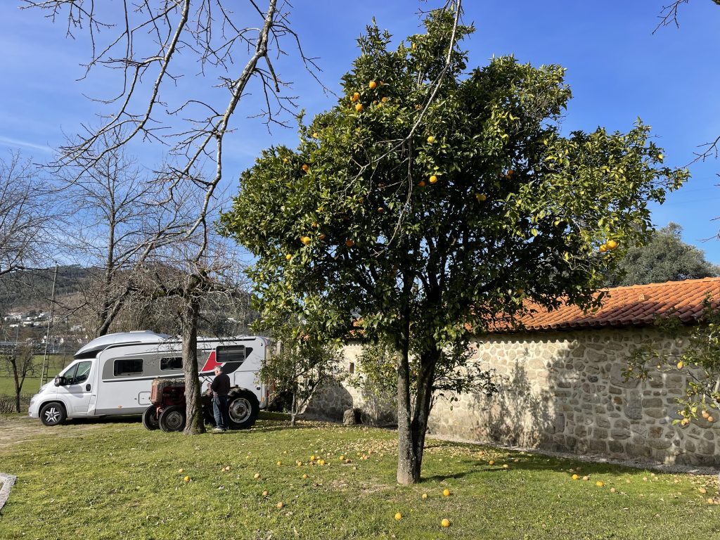
A UNESCO World Heritage Site – we’re so glad we made the effort to visit out-of-the-way Guimaraes. With its 1,000 year old castle, where the first king of Portugal, Afonso, was born in 1110; and the Ducal Palace, 1420, which became the presidential residence for Salazar, Portugal’s dictator between 1932 & 1974; the city has plenty to be in awe of.
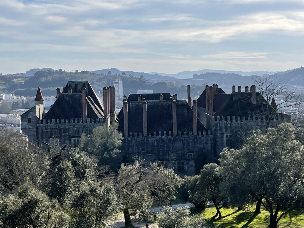
The Ducal Palace was our favourite, with its crenellated towers and cylindrical brick chimneys, thick walls of granite, exposed wooden ceilings which looked like upside down boat hulls, and the massive fireplaces. Displays were minimal but massive: tapestries hung wall to wall, heavy wooden furniture, intricate silk rugs, and surprisingly small beds.
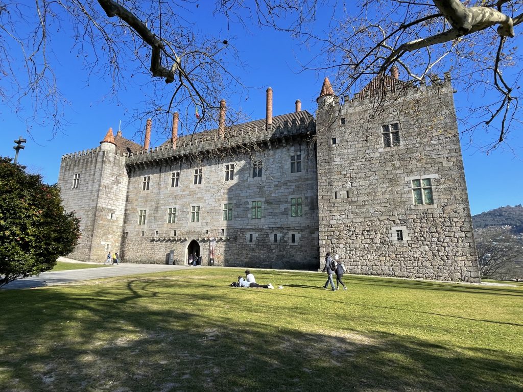
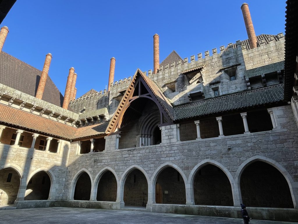
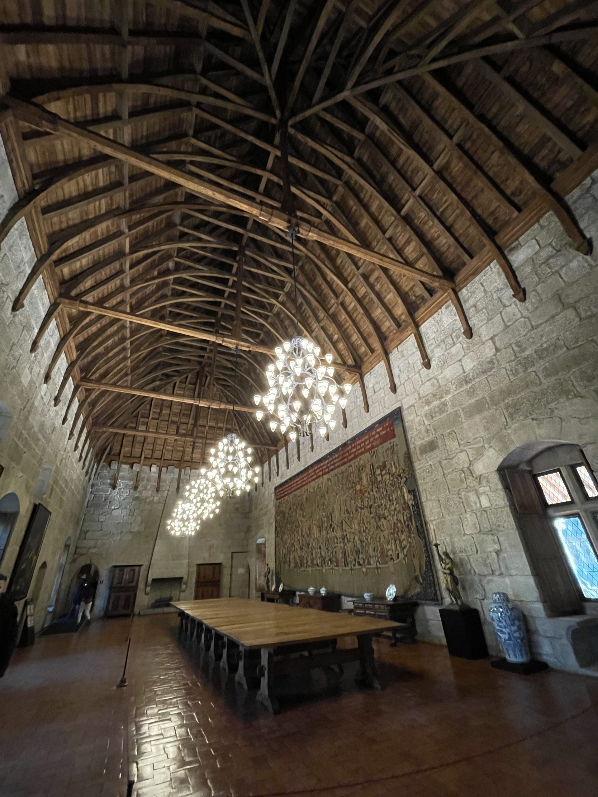
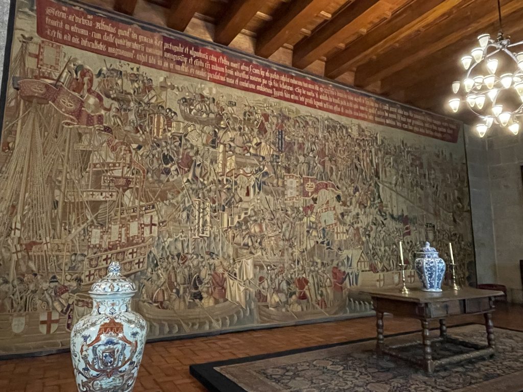
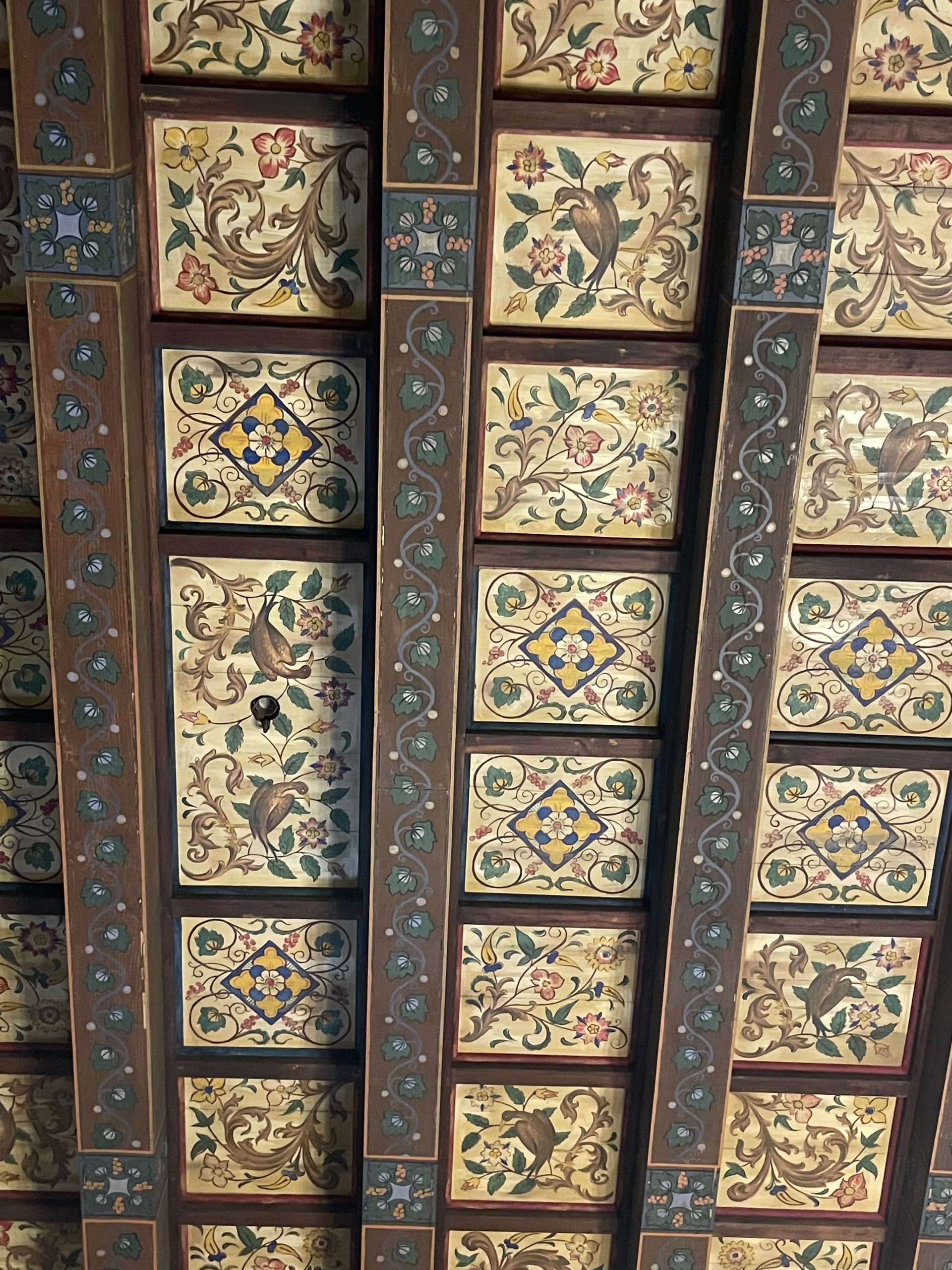

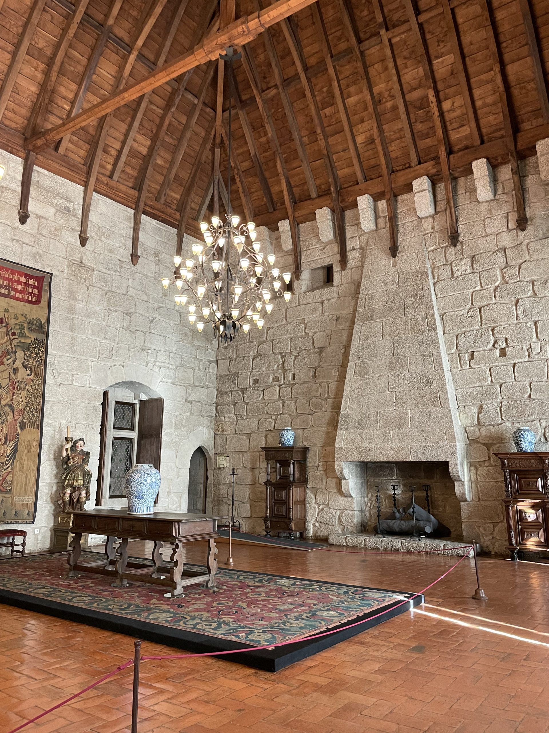

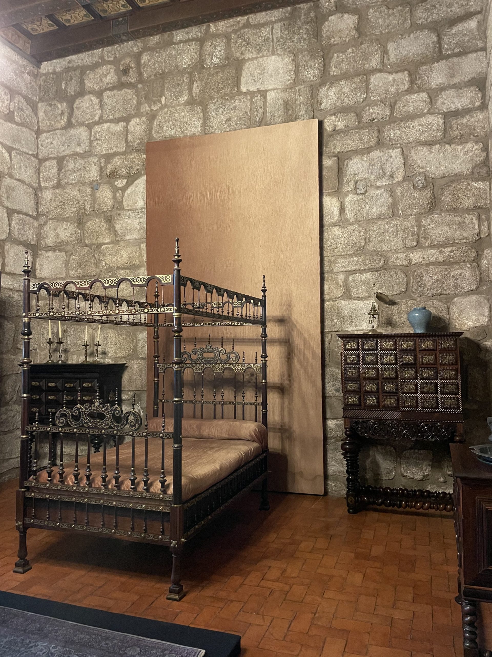

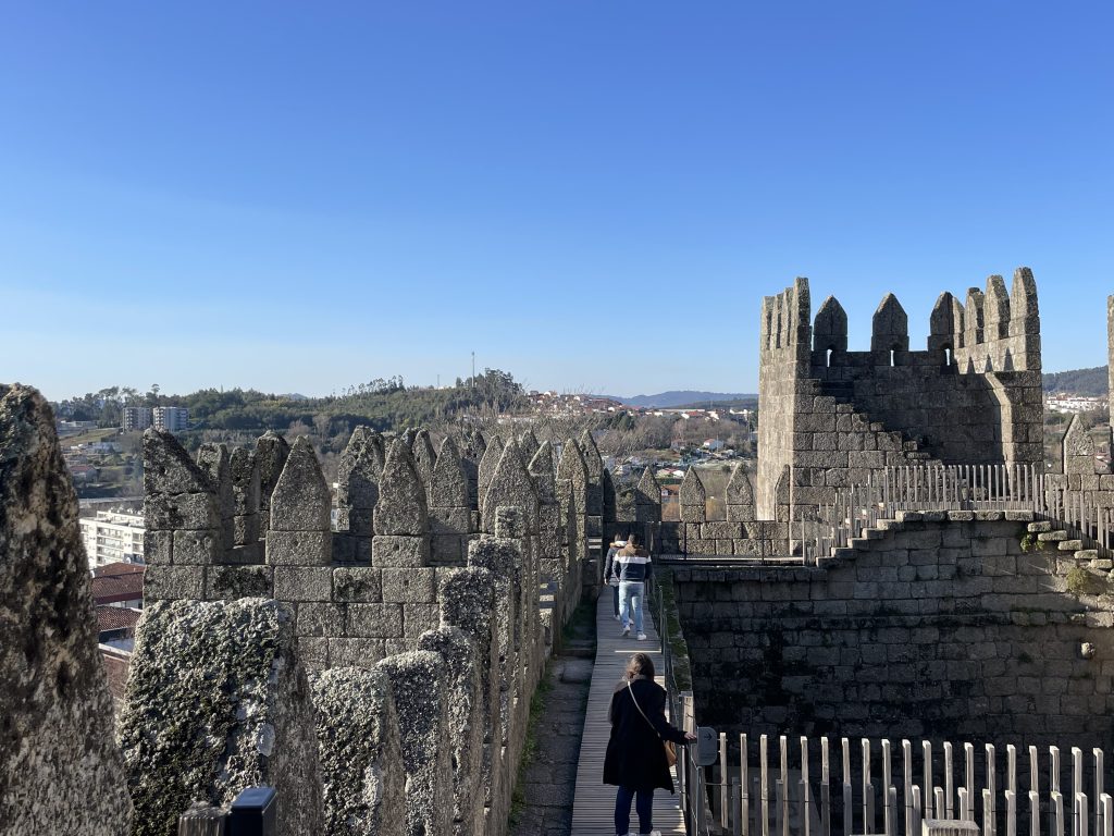


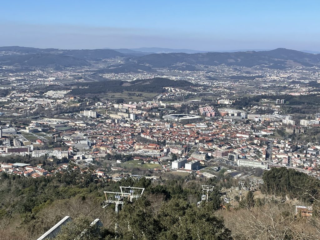
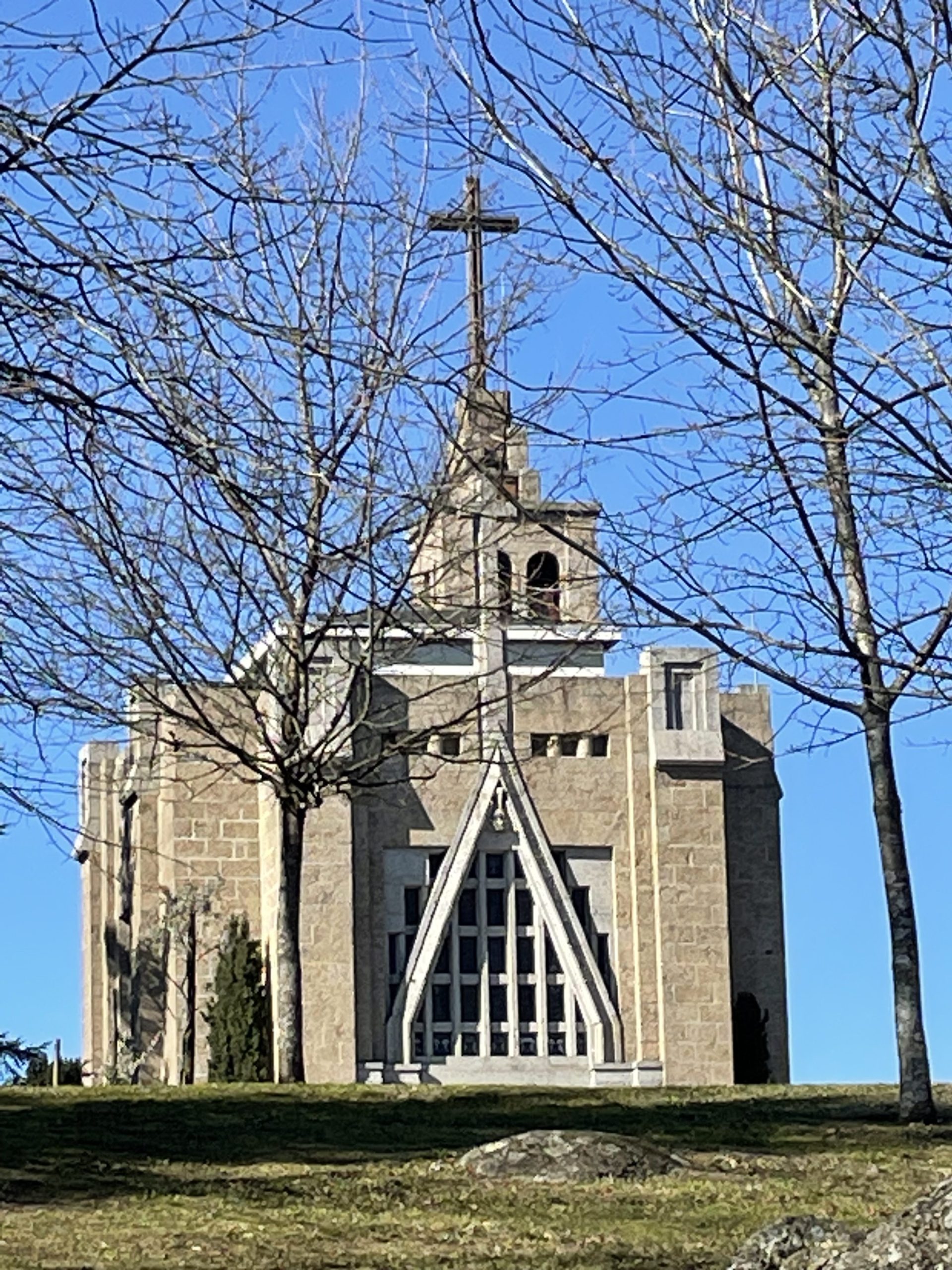
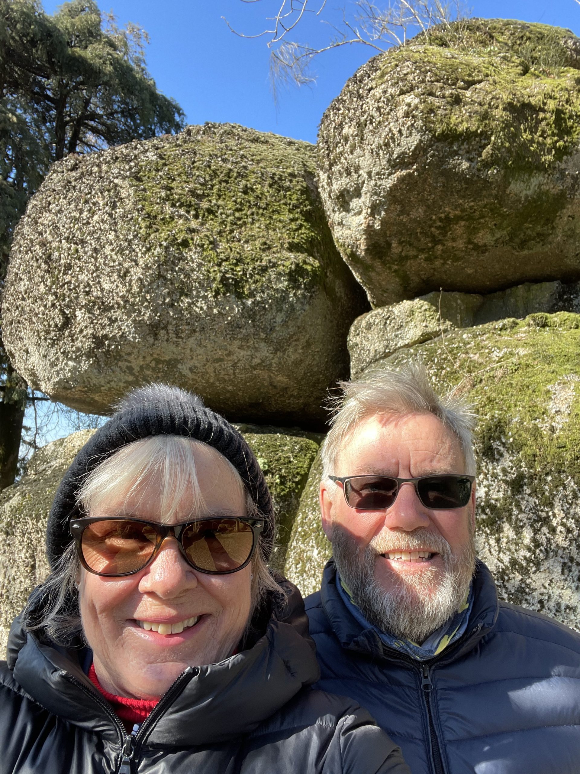
And to top it all, there’s a cable car to the top of the mountain at Penha, where rocks the size of houses perch precariously on one another. The church overlooking the city, seems to protect it from the rocks that could dismantle it.



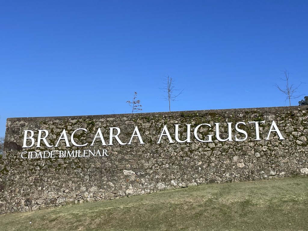
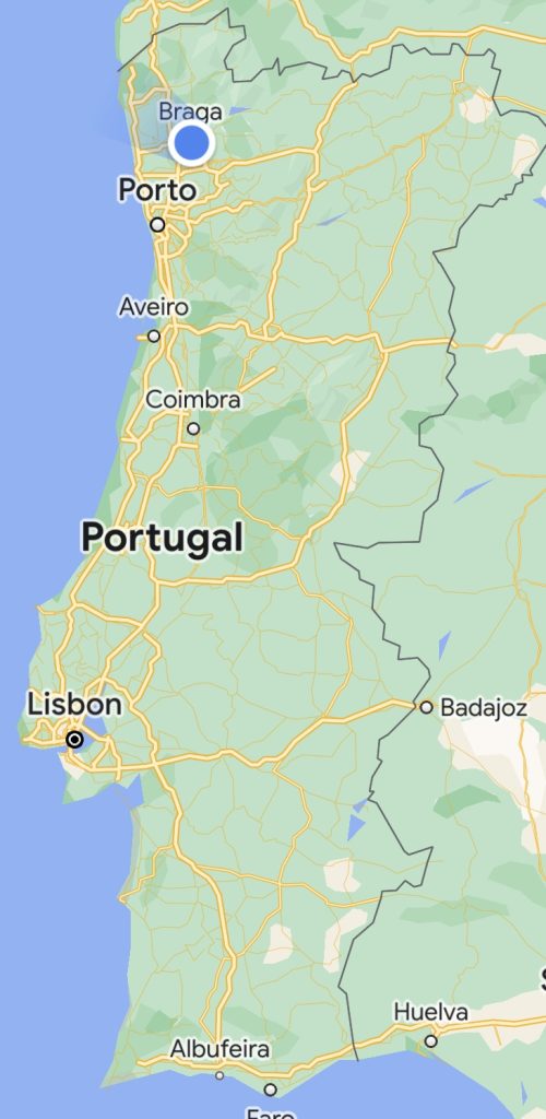
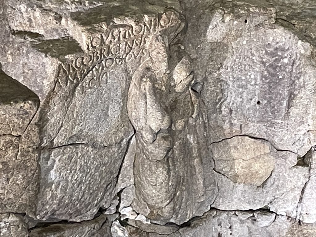
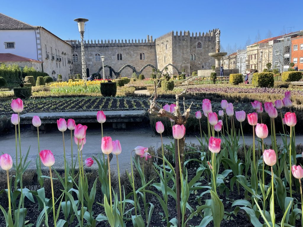
Portugal’s third largest city, after Lisbon and Porto, is also its oldest. Braga dates from the pre-Roman period, as evidenced by the Fonte do Idolo, a natural underwater spring in the city centre with sculptures and writing on the adjacent rocks.
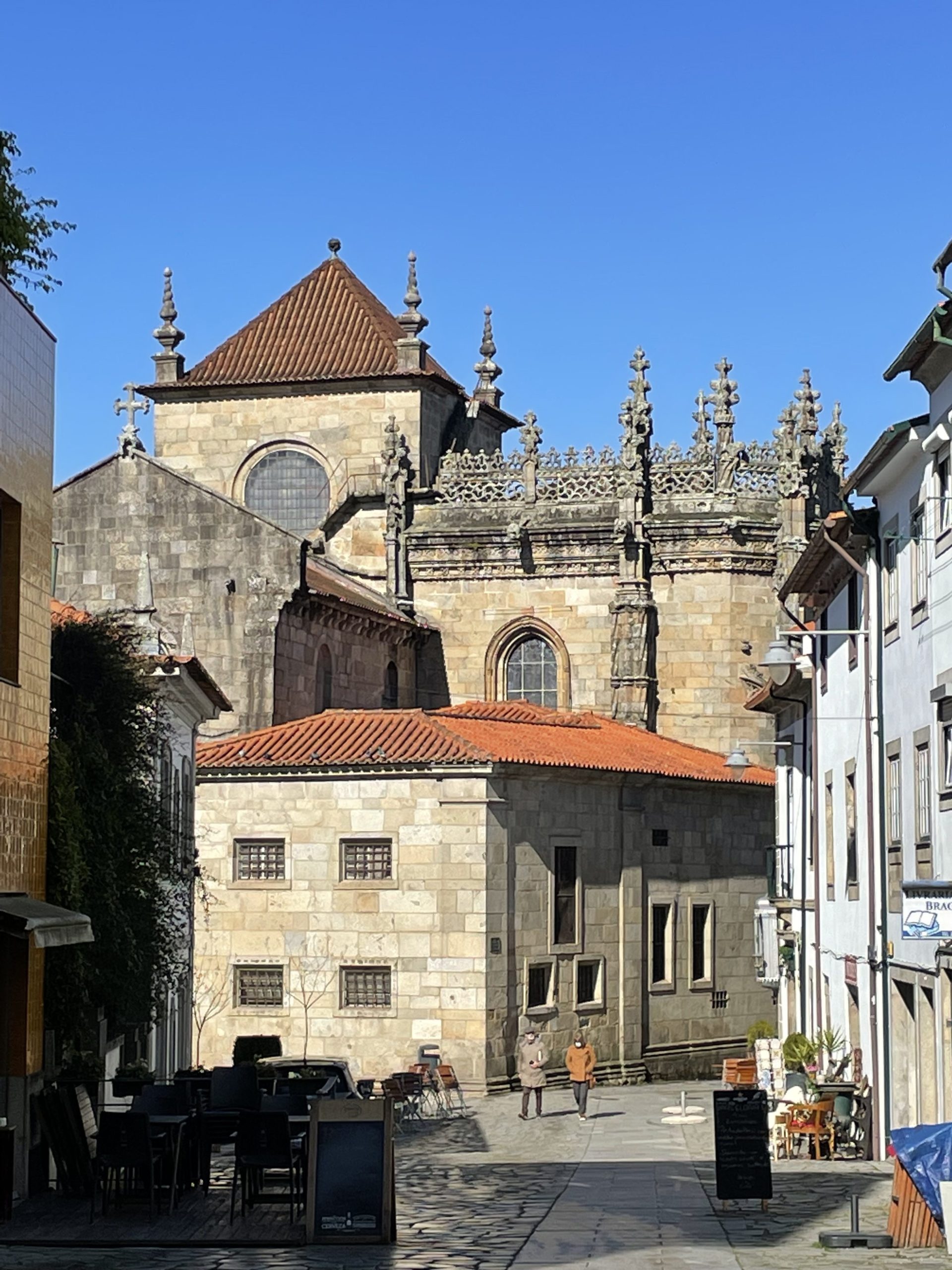
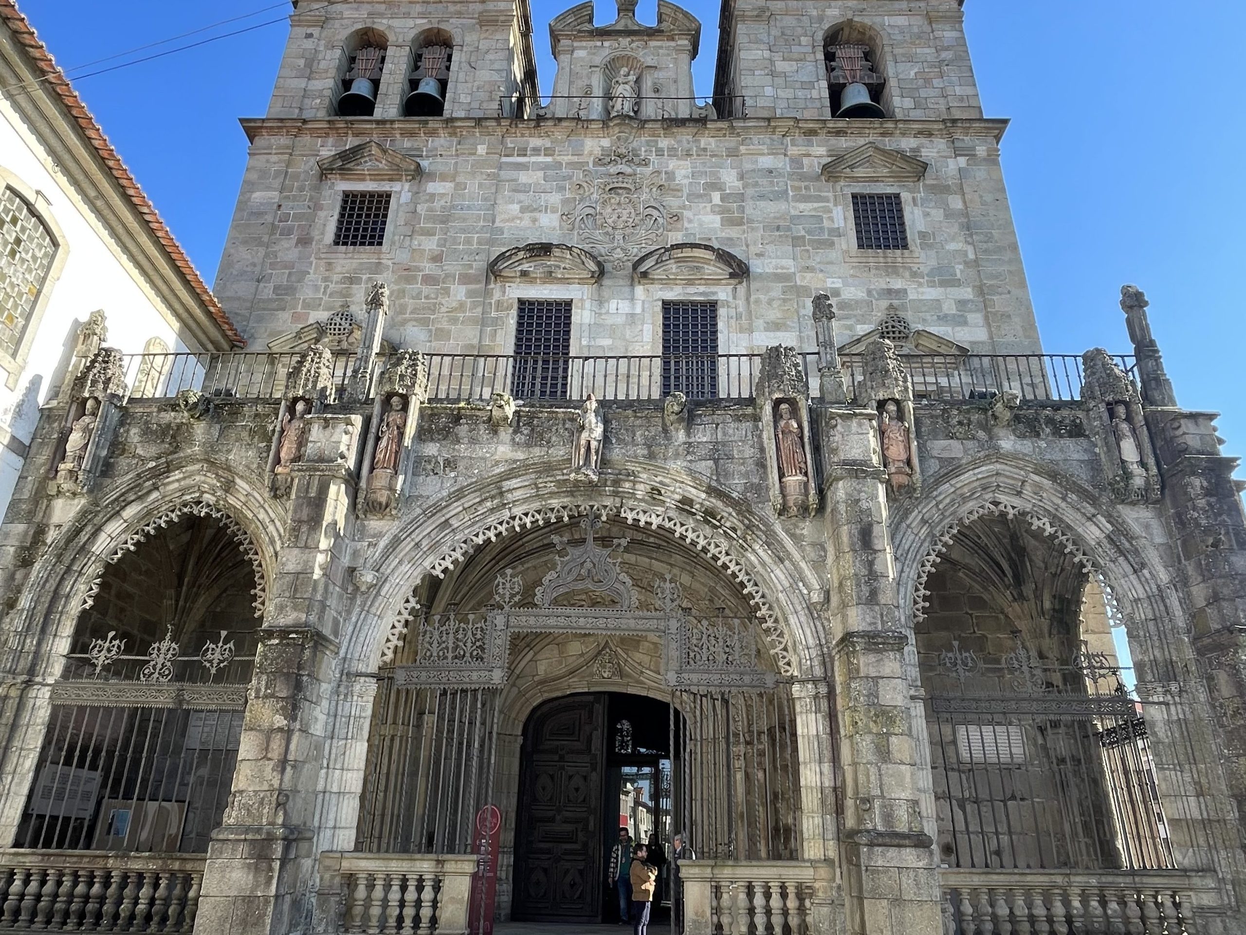
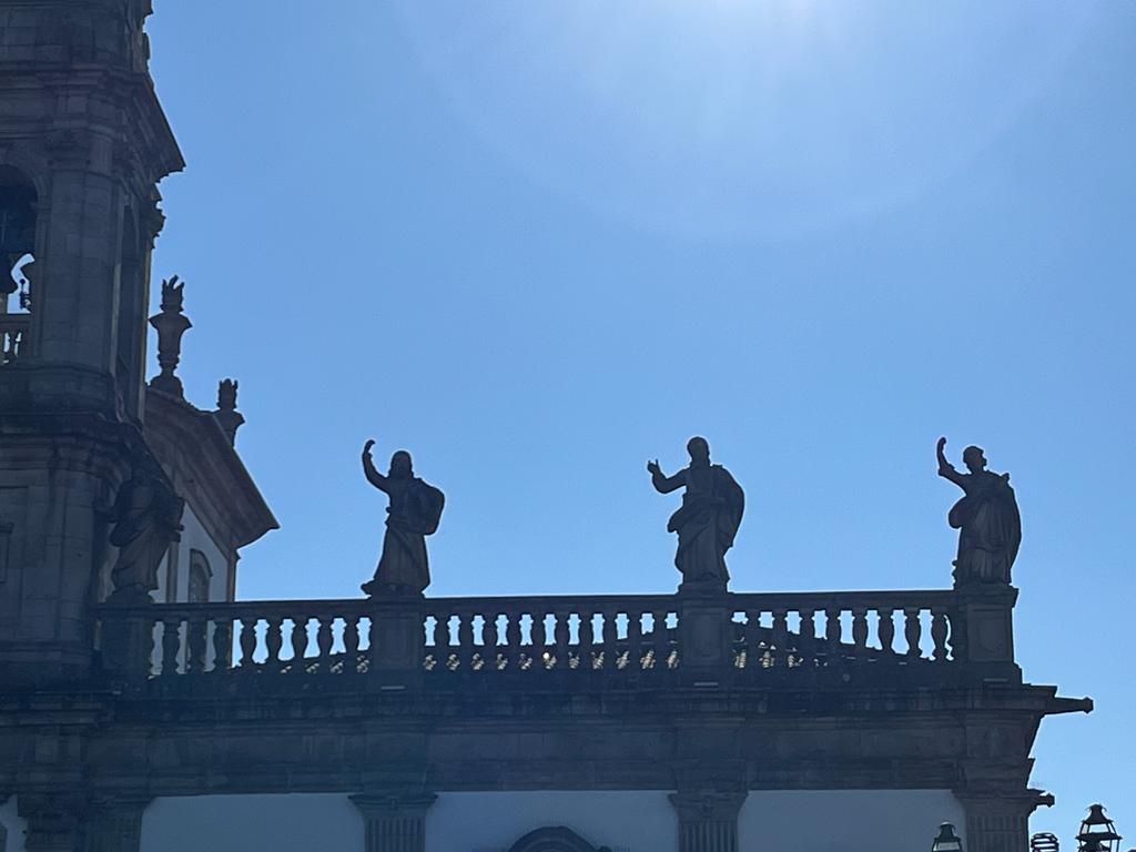
The cathedral, Se de Braga, is the oldest in Portugal, built in 11th and 12th centuries.

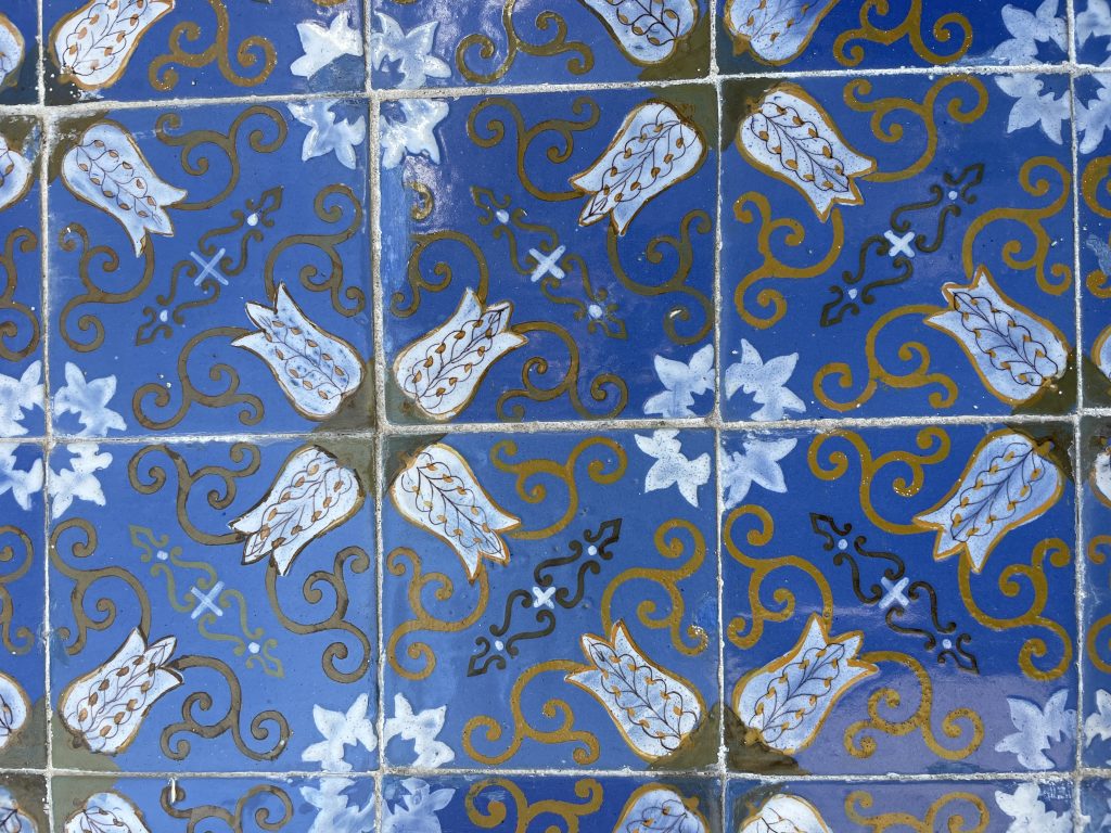
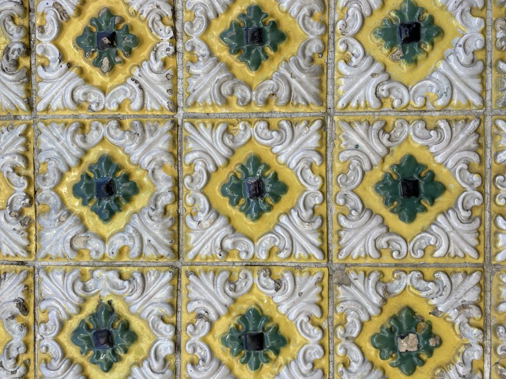
The historic centre had many azulejos, tiled building facades, including the main shopping street.


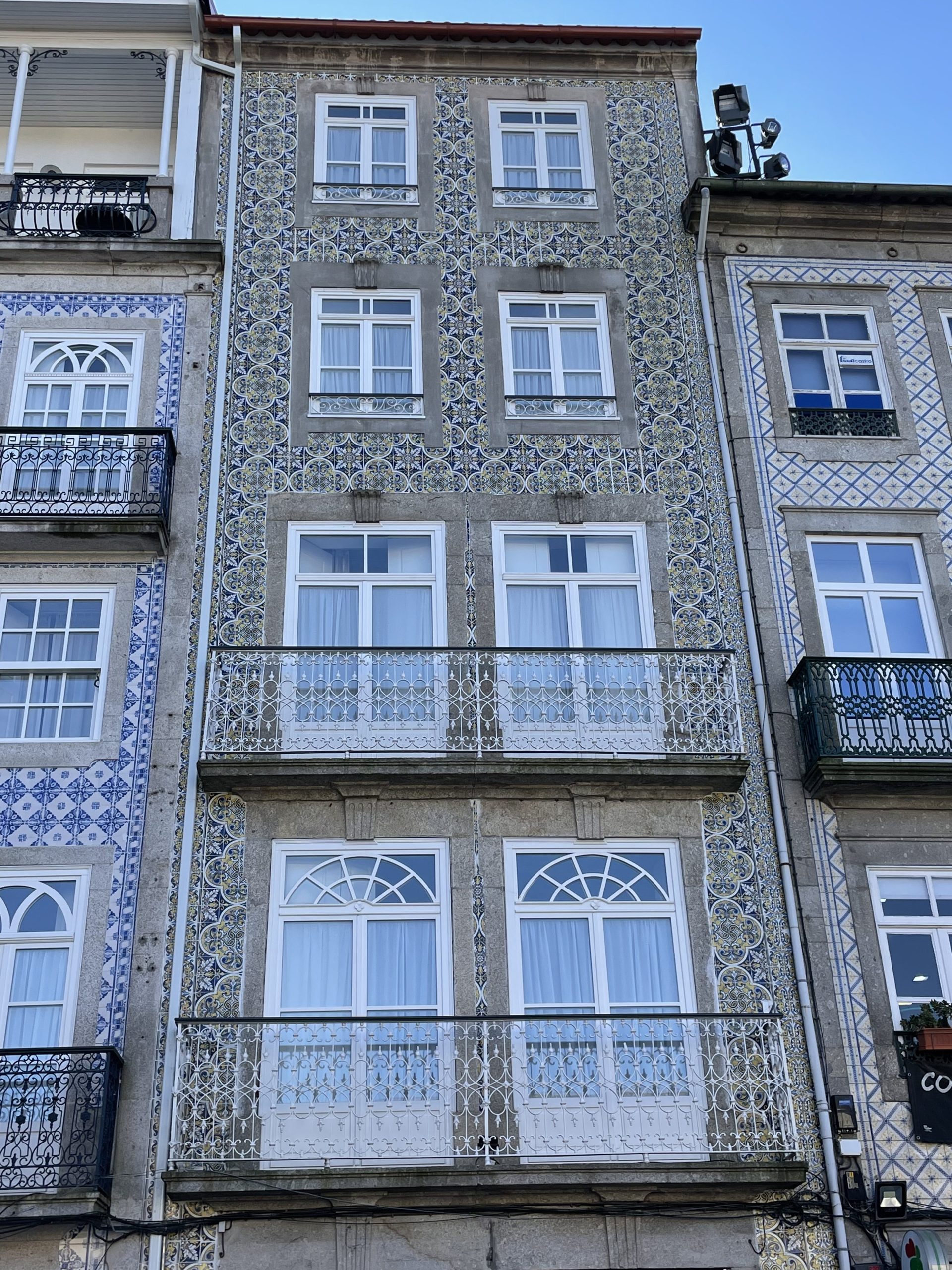
The former palaces, now museums, were decorative inside and out.
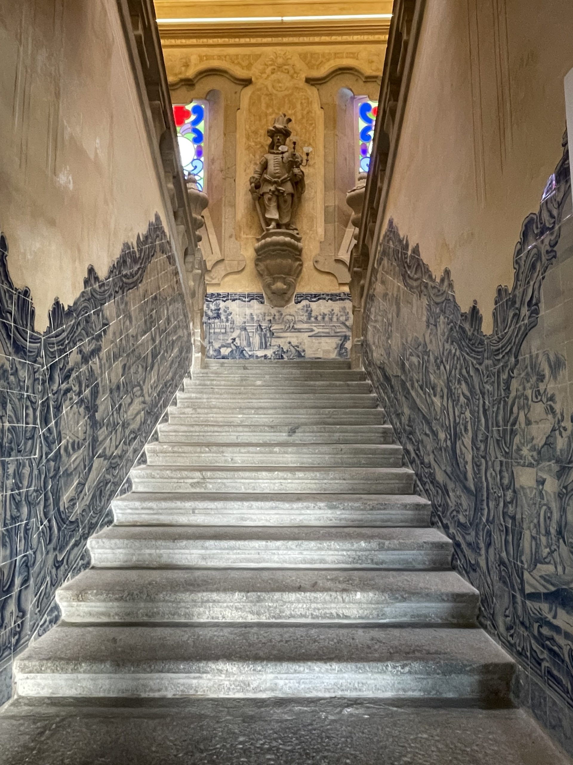
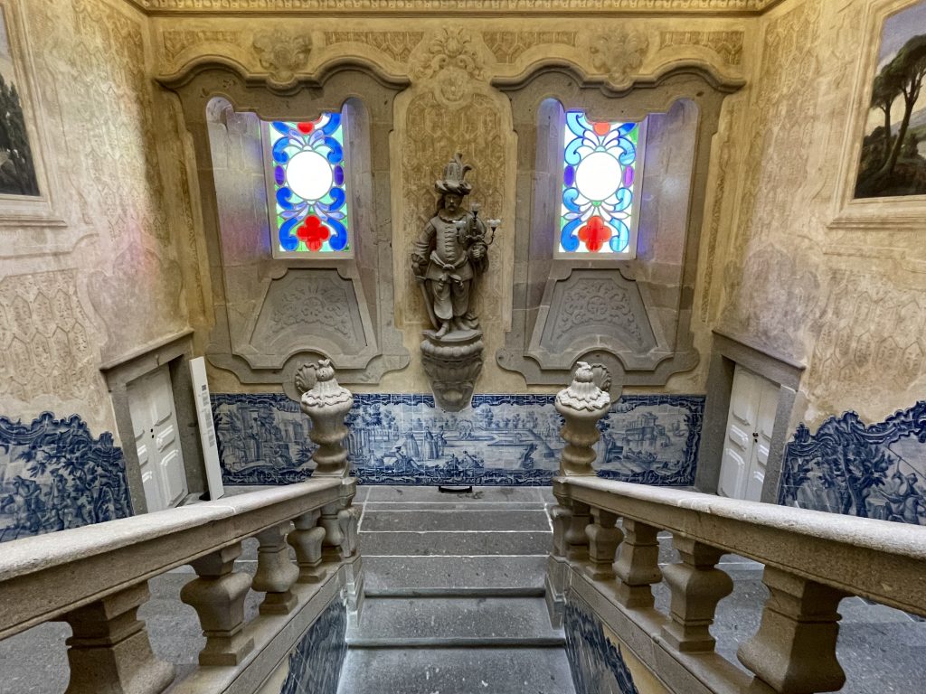
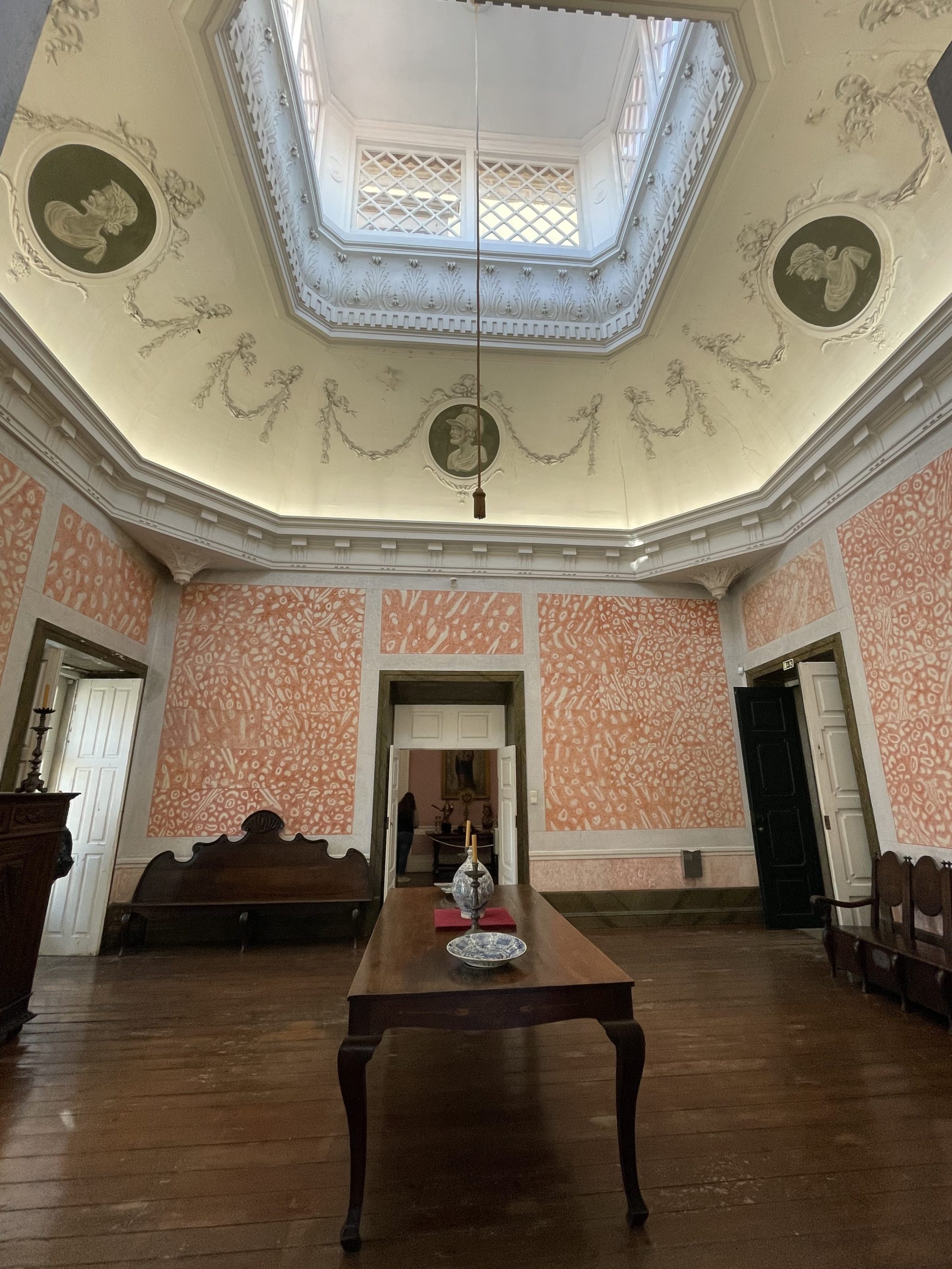
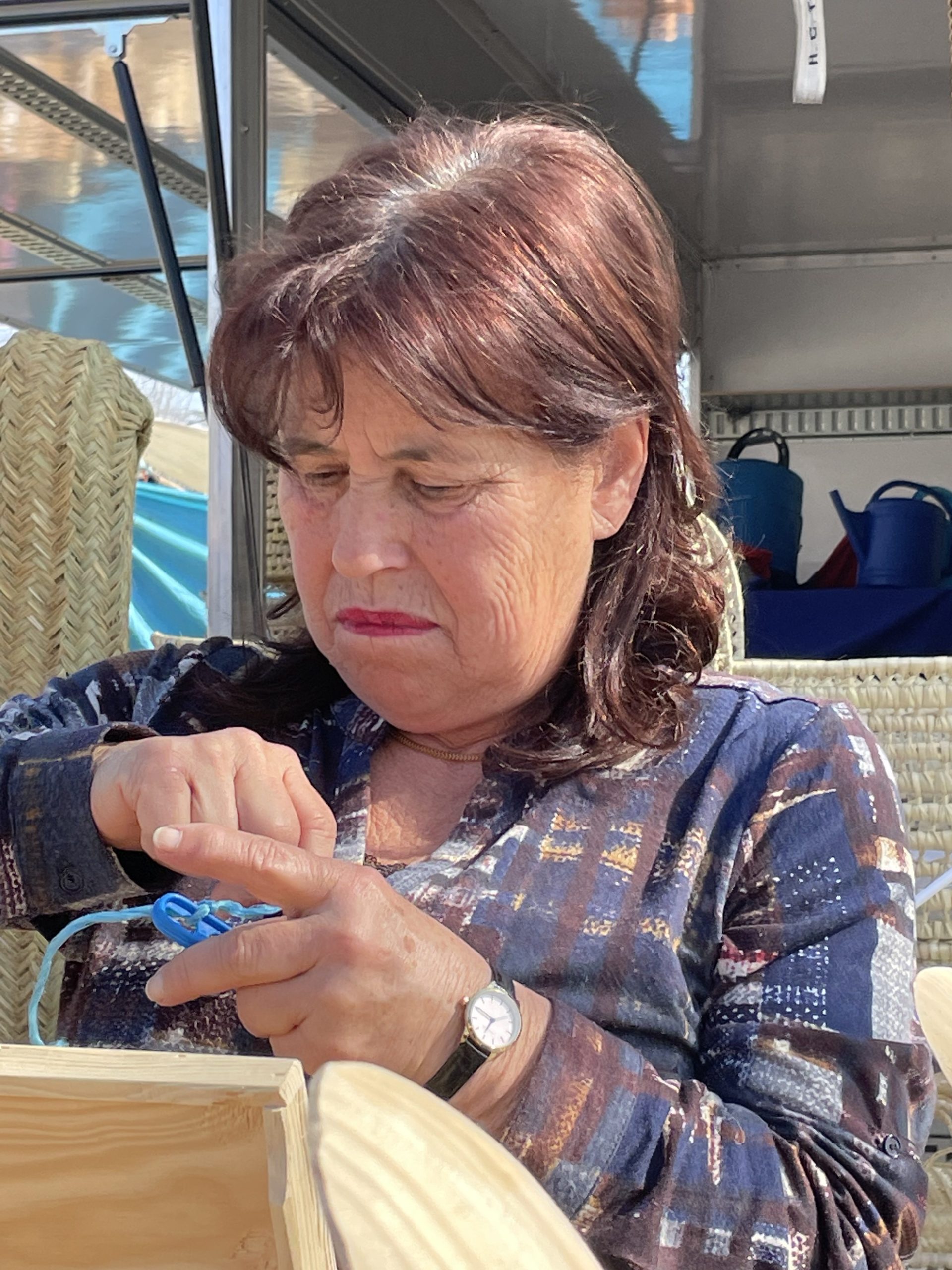
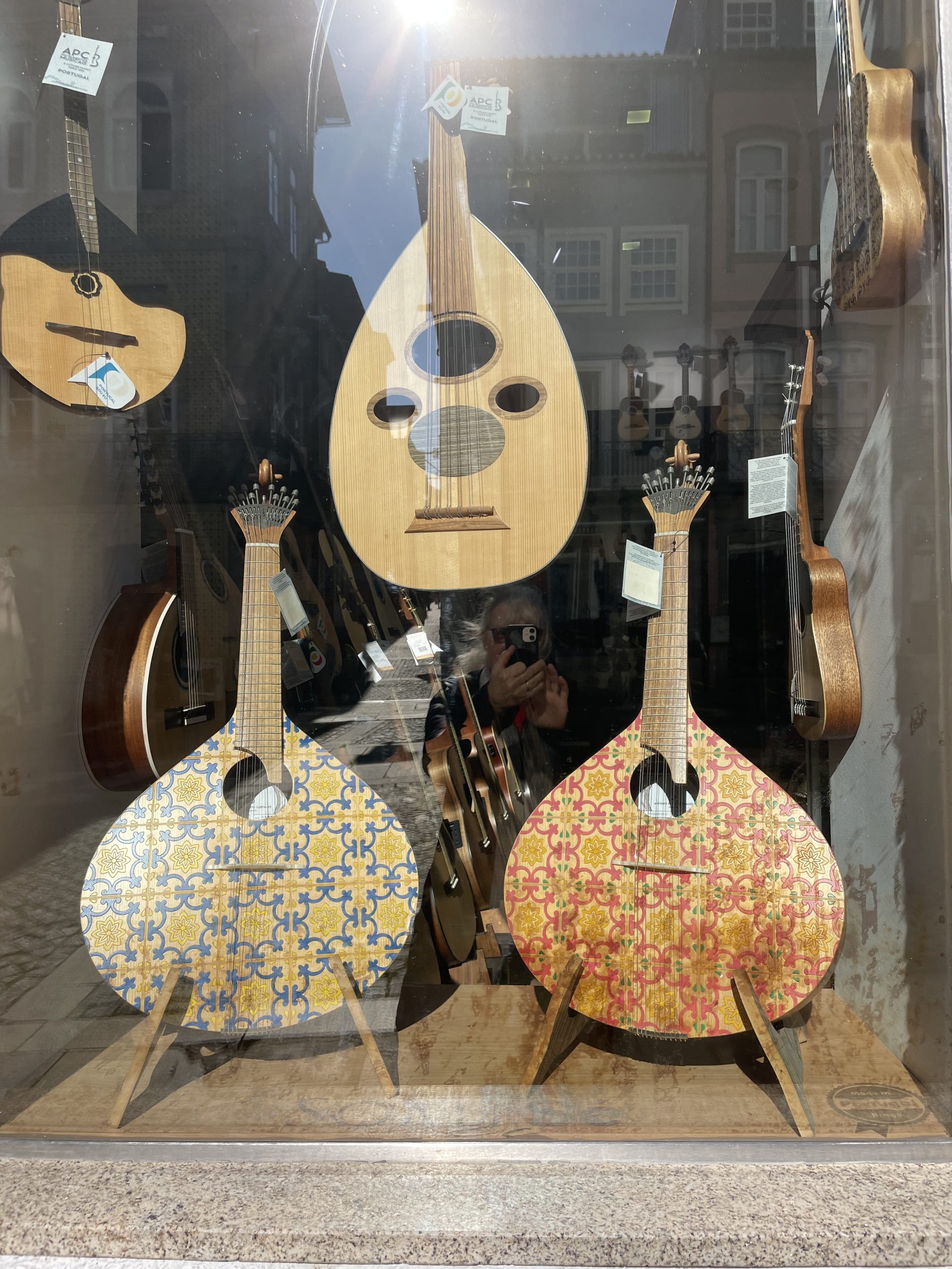
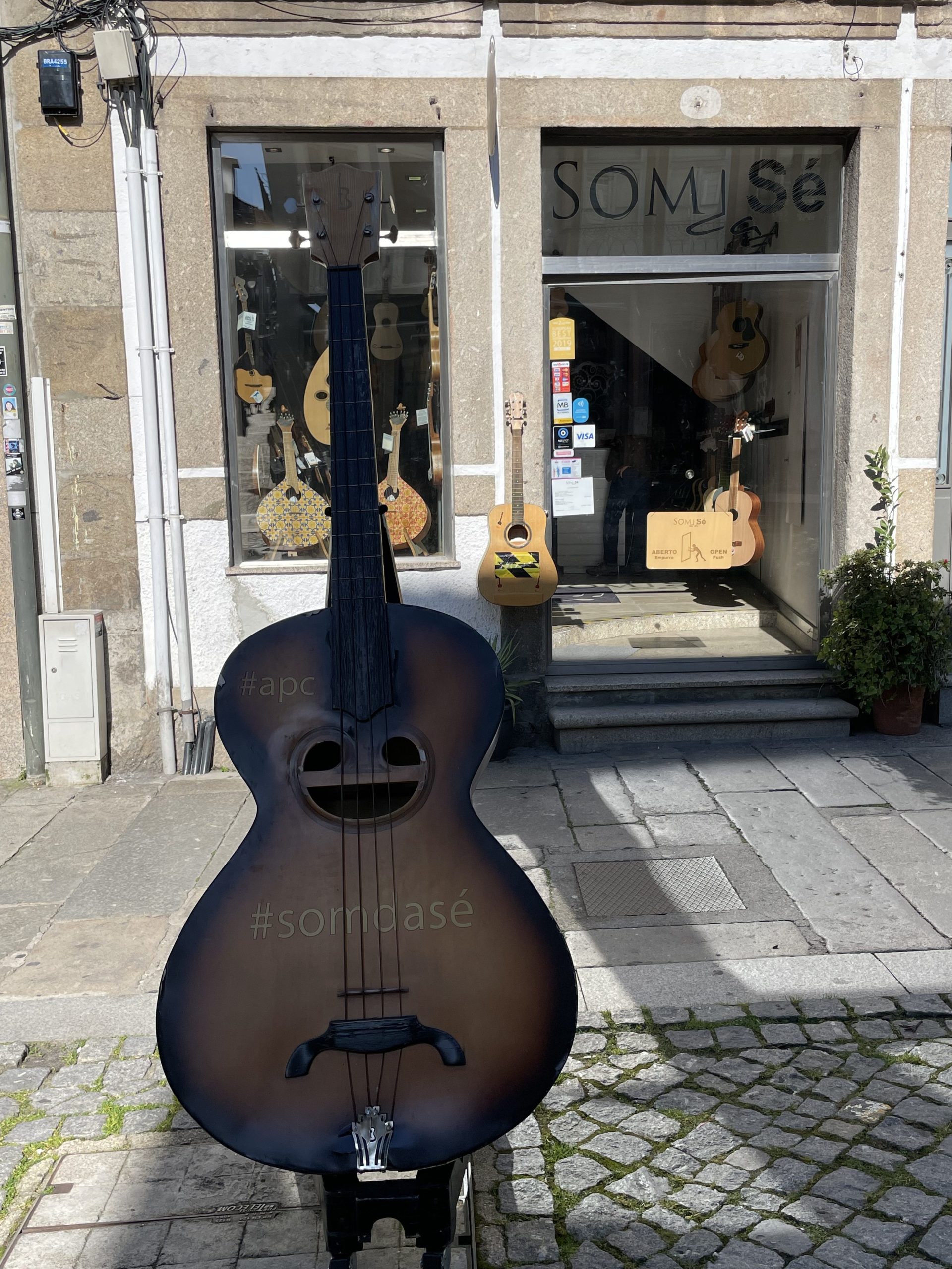
Besides tablecloths, napkins, tea towels and other brightly coloured linen, the most fascinating artisan was the guitar maker.
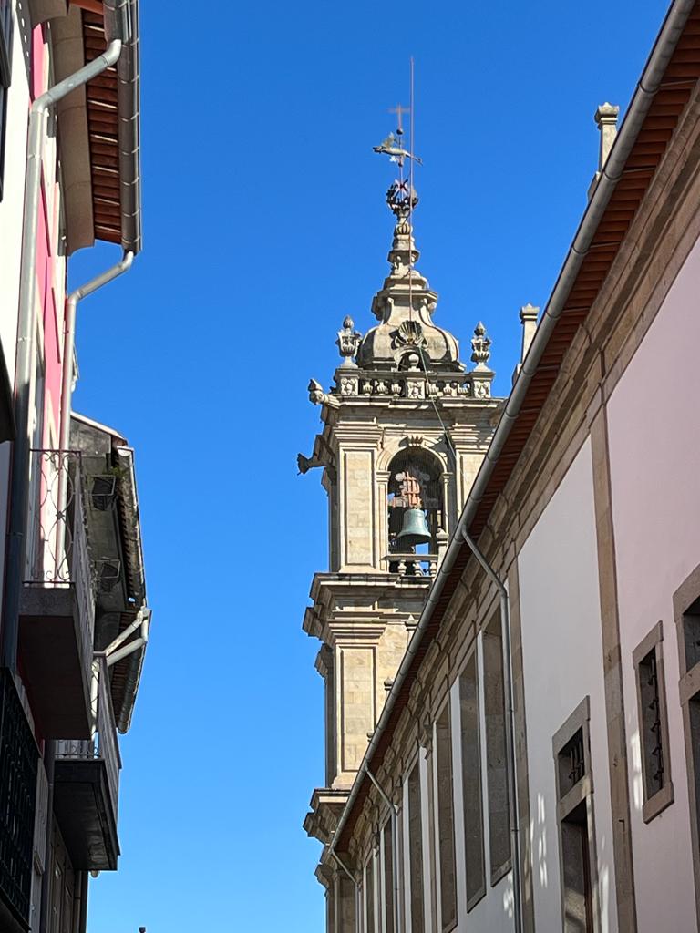
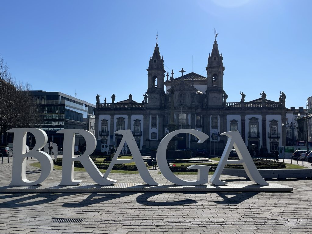
PONTE DE LIMA
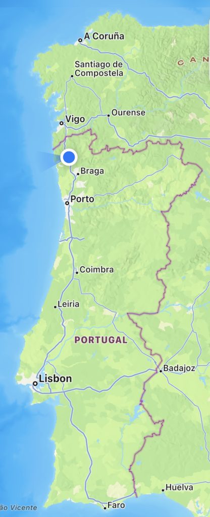
Tuesday 7th January 2023
It’s nearly a week since we landed at Santander. We had intended to head straight to Portugal, but the weather in Galicia – North West Spain – looked too good to miss (it’s usually rainy), so we headed along the north coast of Spain and arrived today in Portugal at Valenca on the banks of the Rio Minho.
The Rio Minho forms the northernmost border between Spain and Portugal at Cevide in the east and Caminha in the west where its estuary joins the Atlantic Ocean. The Minho is also the name of the northernmost region of Portugal, which is where Vinho Verde wine comes from and Caldo Verde, a soup made with potatoes, greens and sausage.
PONTE DE LIMA
Our first night stopover in the camper was at Ponte de Lima, we’re staying at a free ‘Aire’, in other words a car park where they allow night stopovers if you have your own facilities. This Aire is outside the exhibition hall, so it’s empty until they have an event.
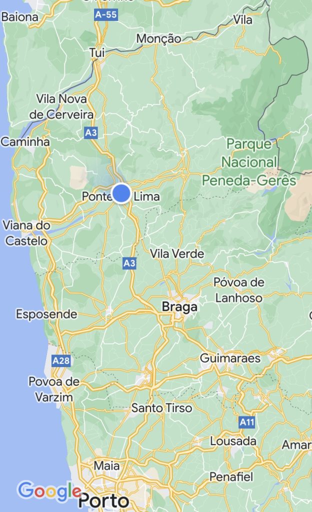
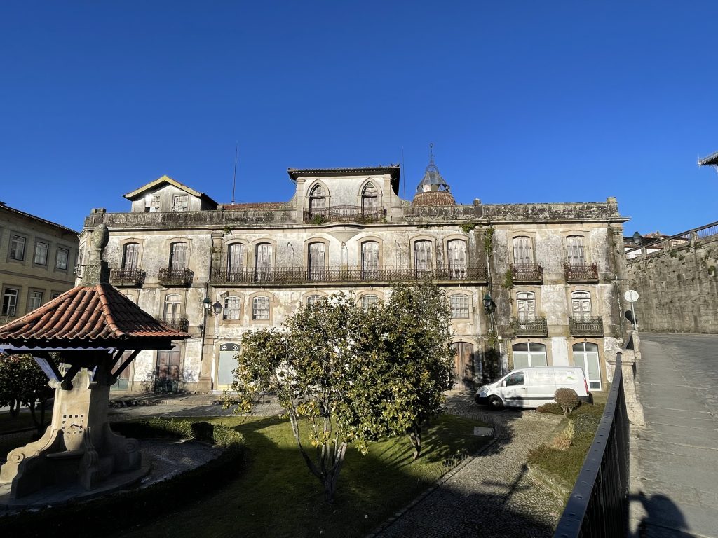
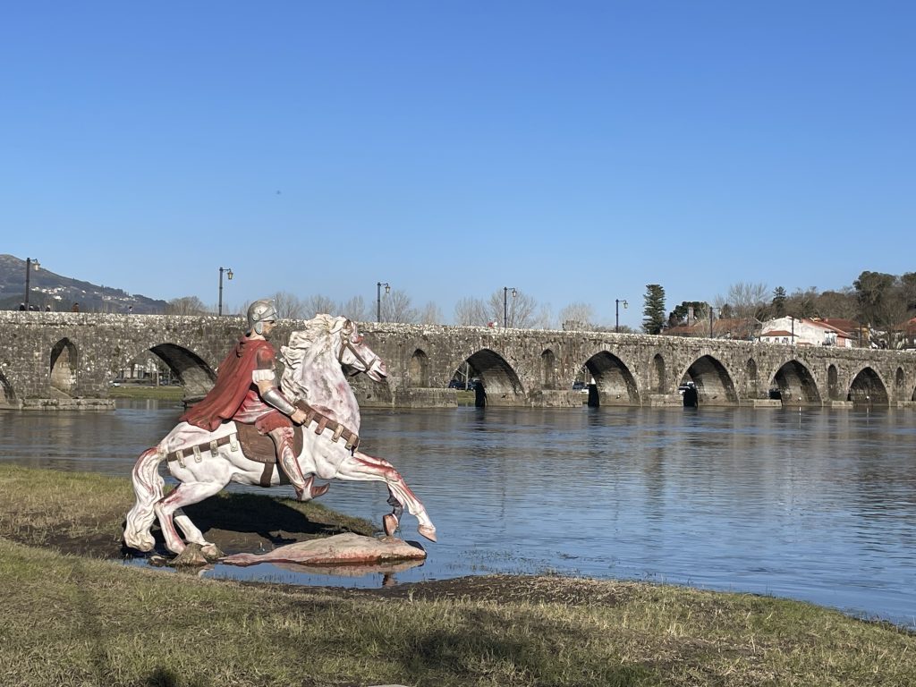
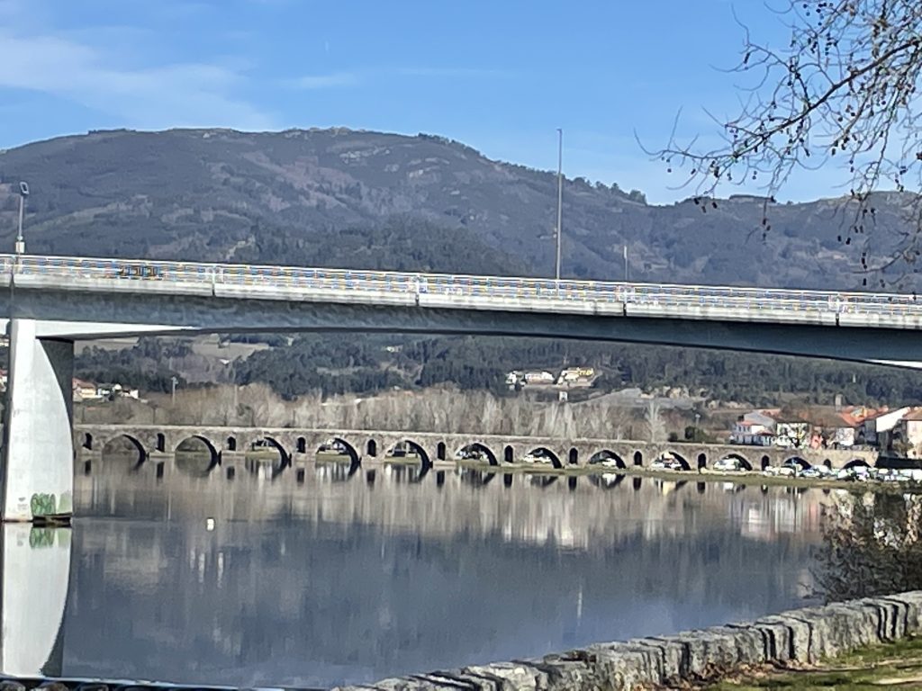
Ponte de Lima is located on the southern bank of the Rio Lima, and is one of the oldest towns in Portugal, being the first place to get a charter in 1125.
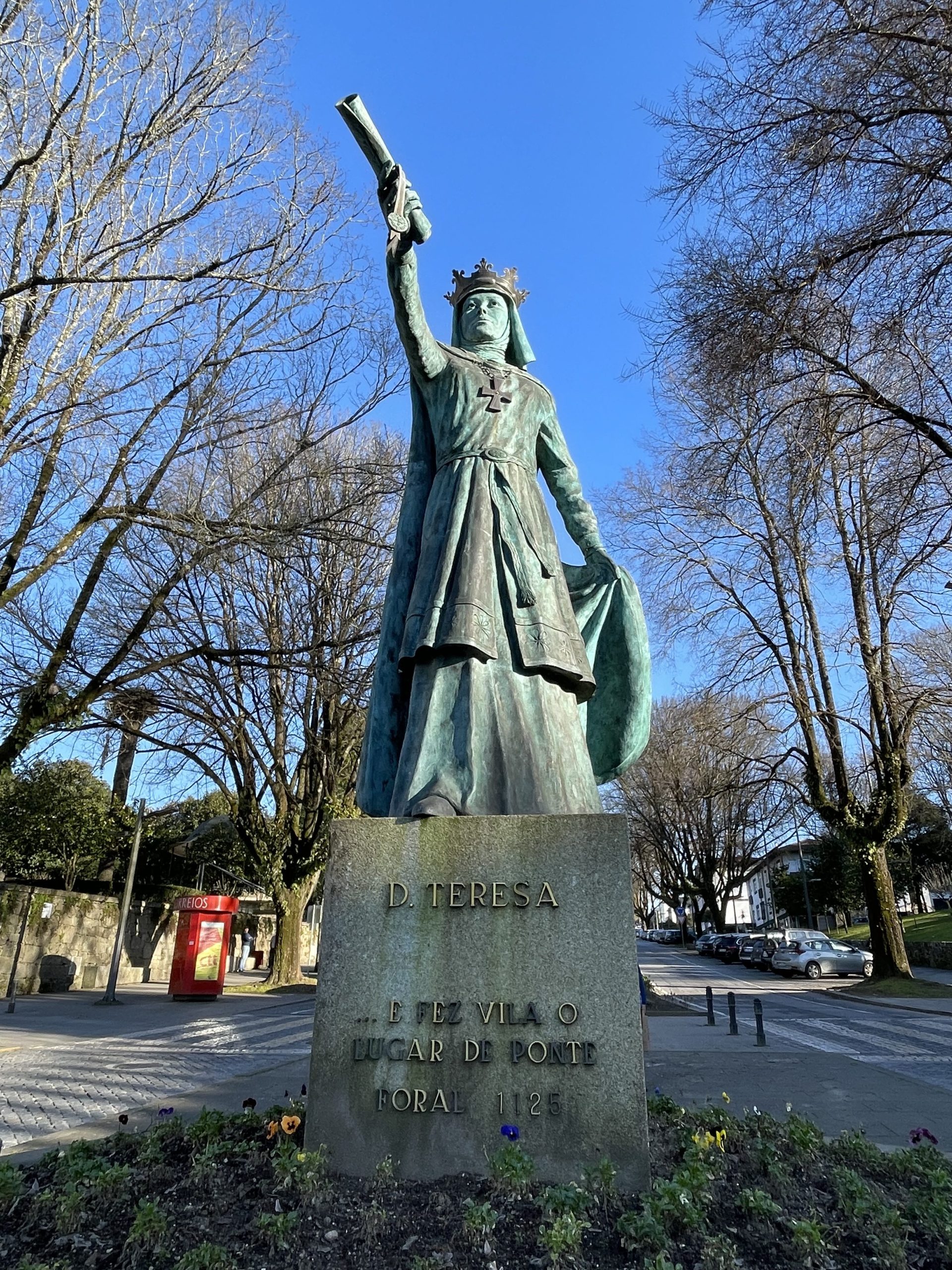
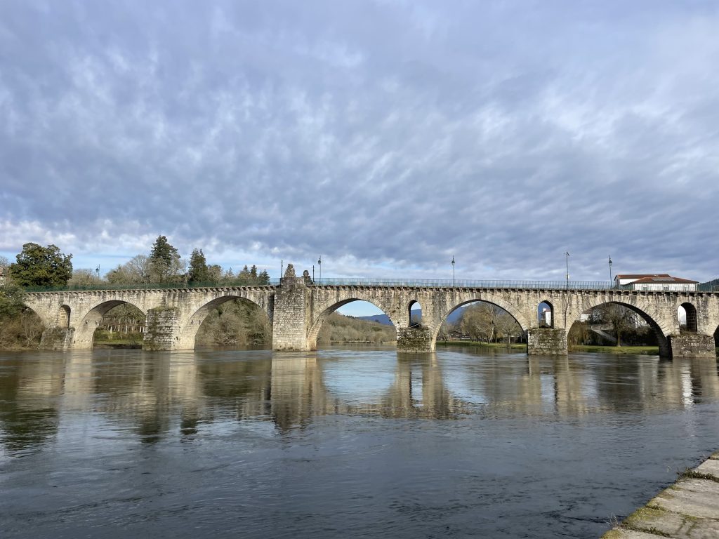
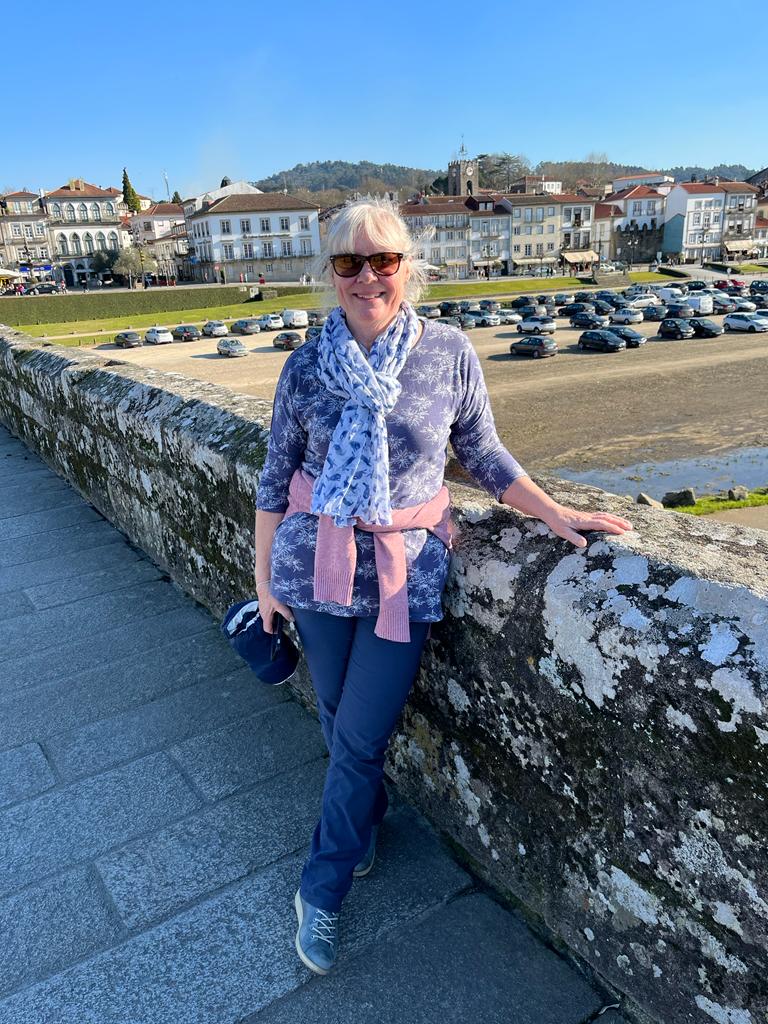
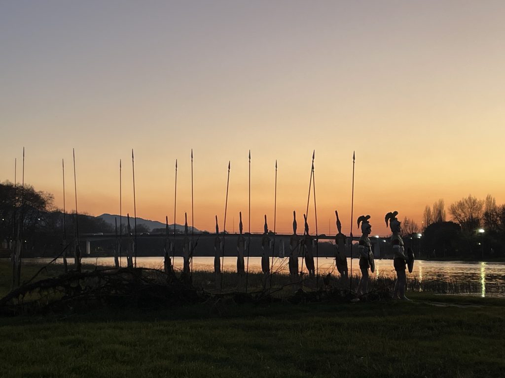
The 31 arched stone bridge was built by the Romans and restored in 14th century. It is cobbled and is only for use by pedestrians and cyclists. It’s the Lima crossing point for the Camino Portuguese.
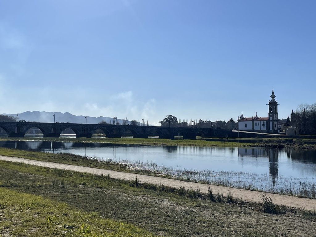
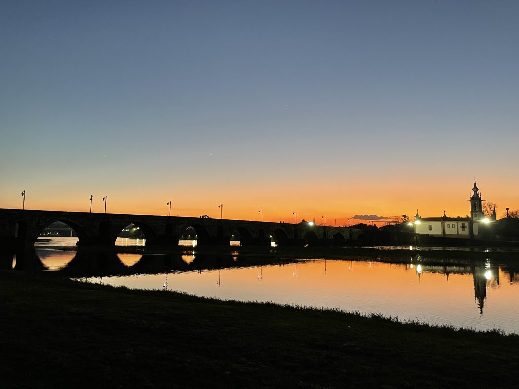
Every second Monday Ponte de Lima holds one of the largest country markets in Portugal. It is also known for its red Vinho Verde wines.
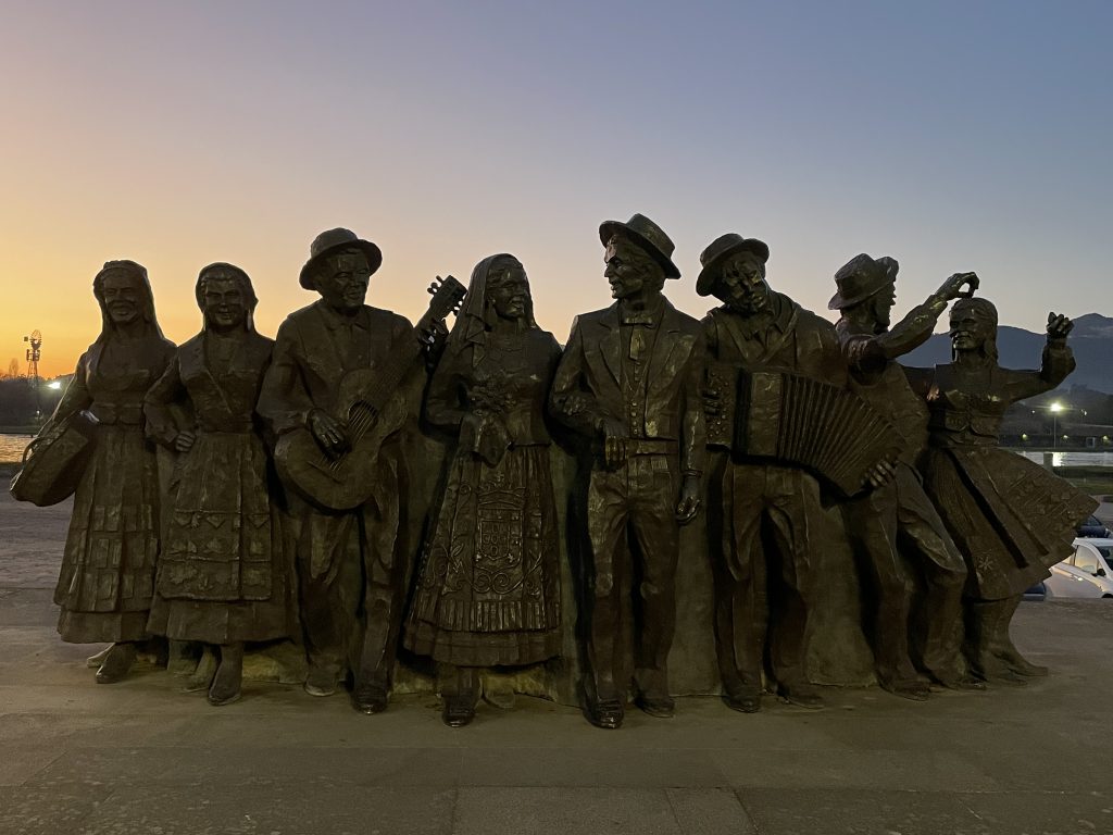
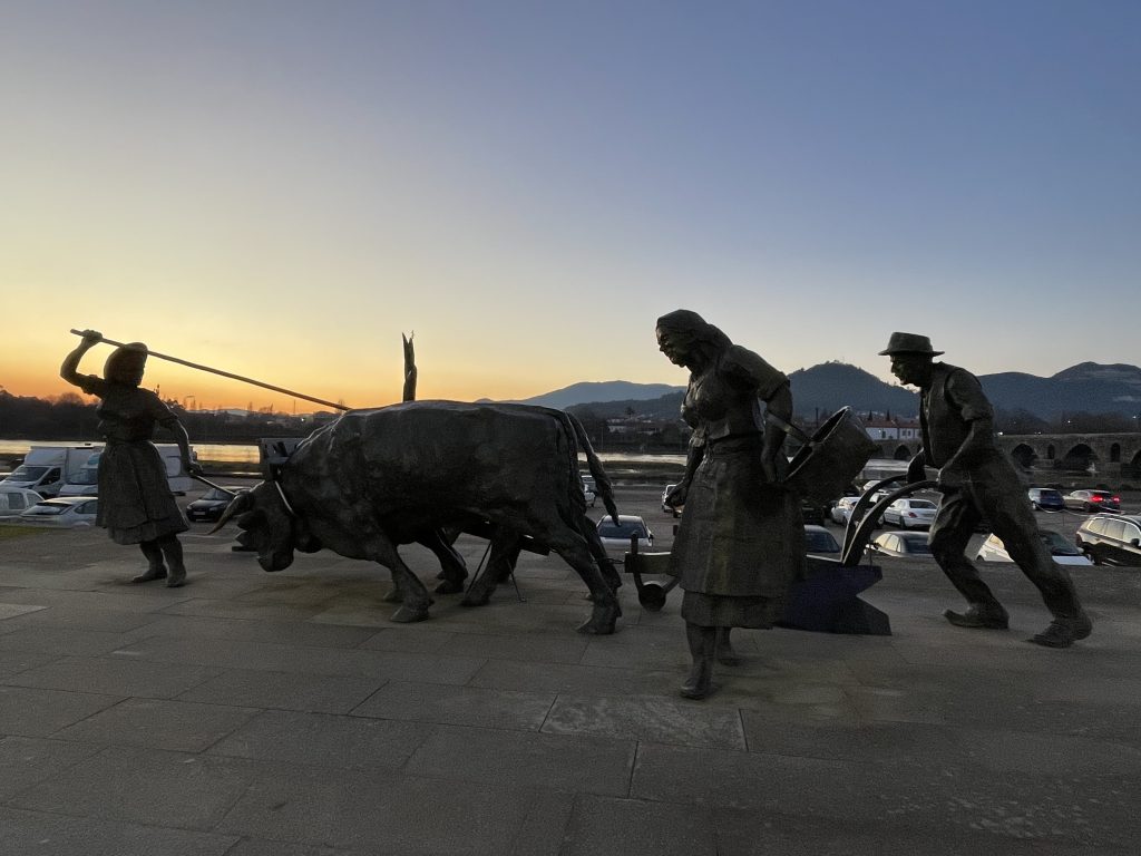
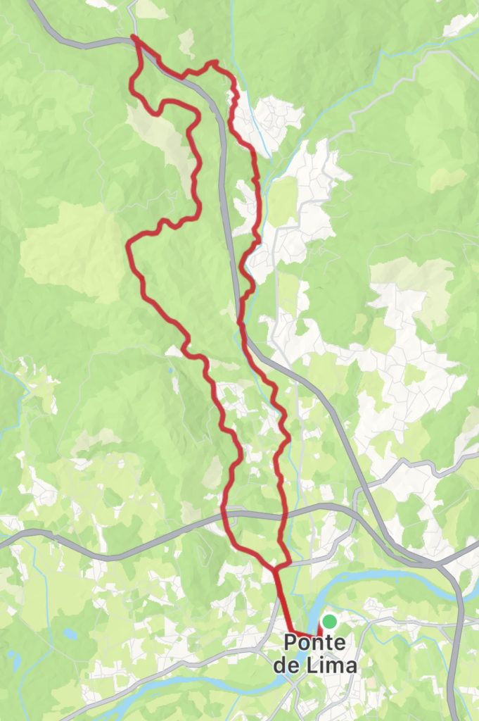
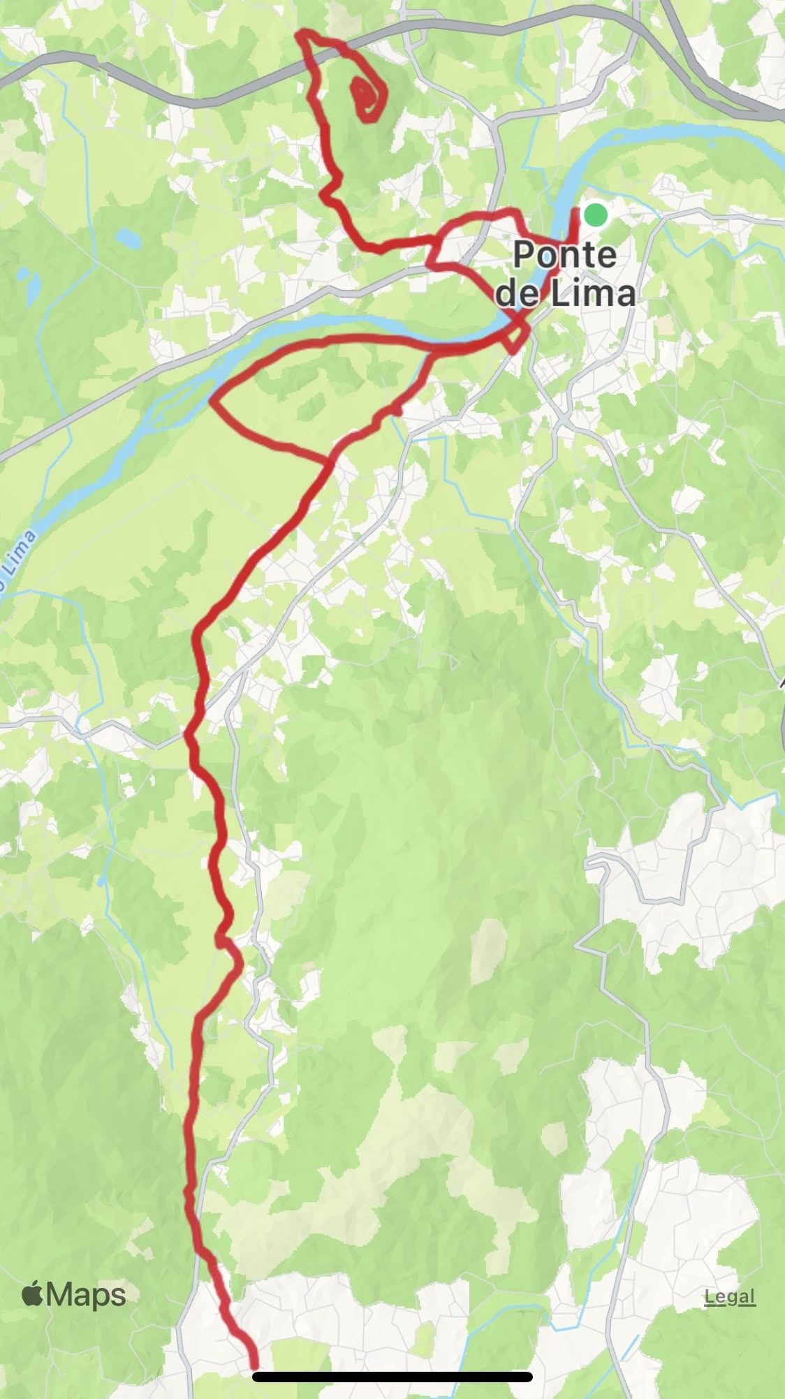
CYCLING NORTH AND SOUTH FROM PONTE DE LIMA – Camino Portugues
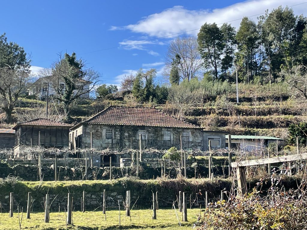
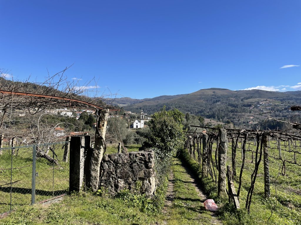
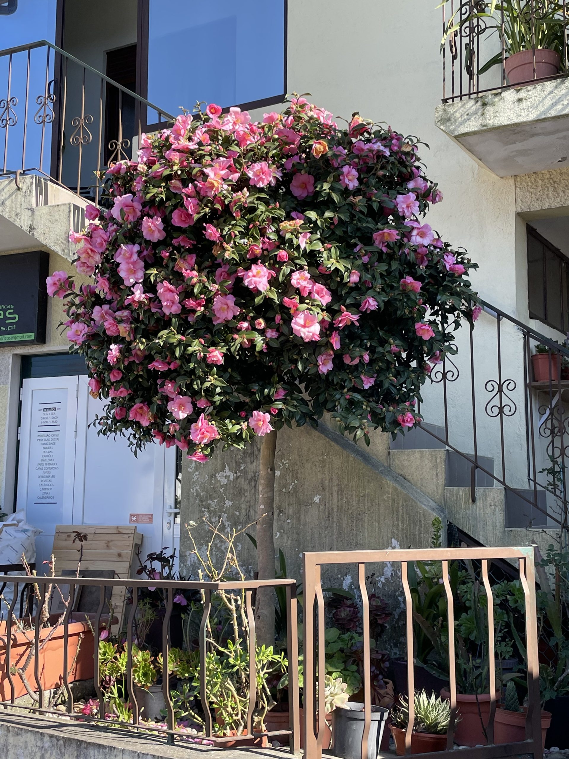
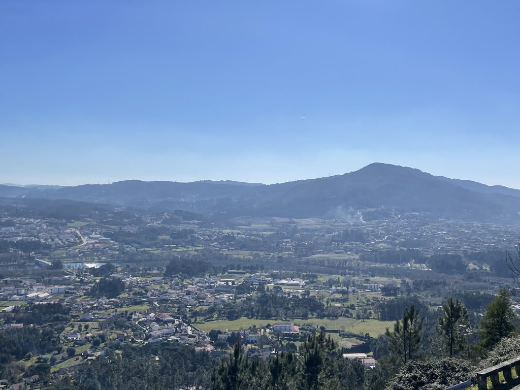
We found ourselves on the Camino Portuguese as we cycled over the Roman Bridge and went through some gorgeous countryside, mostly smallholdings with vegetables, oranges, lemons and grape vines. The locals have a close connection with the earth. There were plenty of small waterfalls, evidence of the heavy rainfall of a few weeks ago. Fortunately today it was sunny and warm, like a lovely spring day, so much so that we could wear shorts for cycling 😄

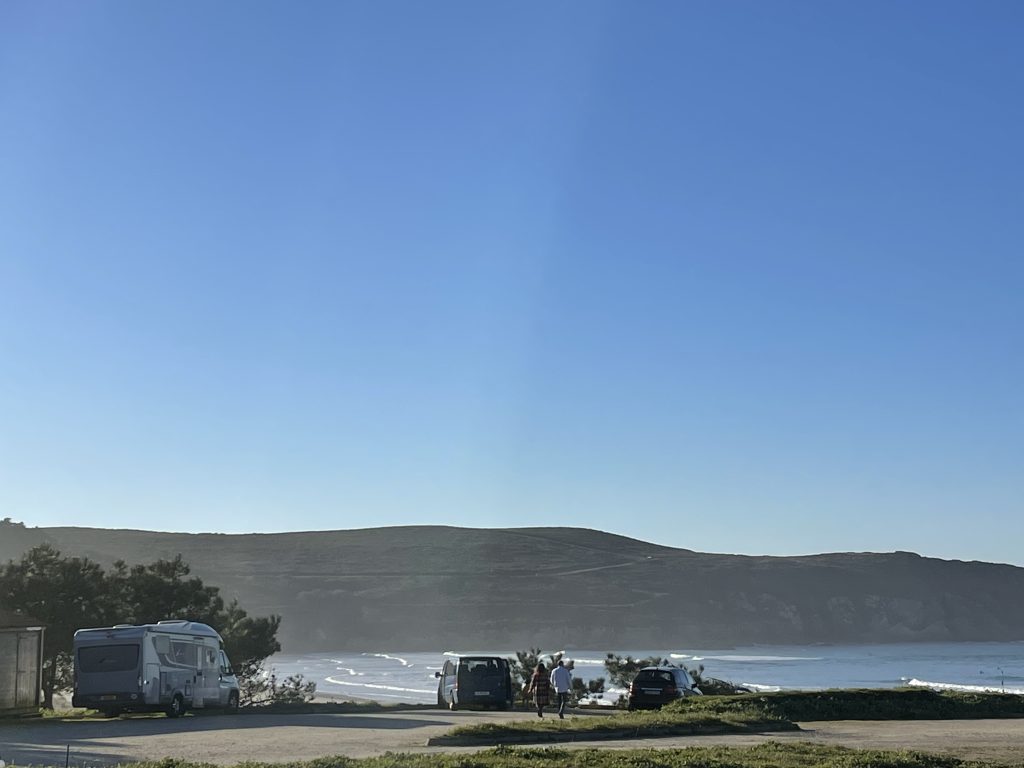
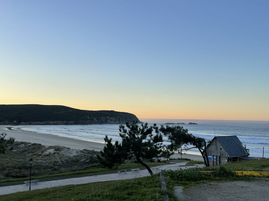
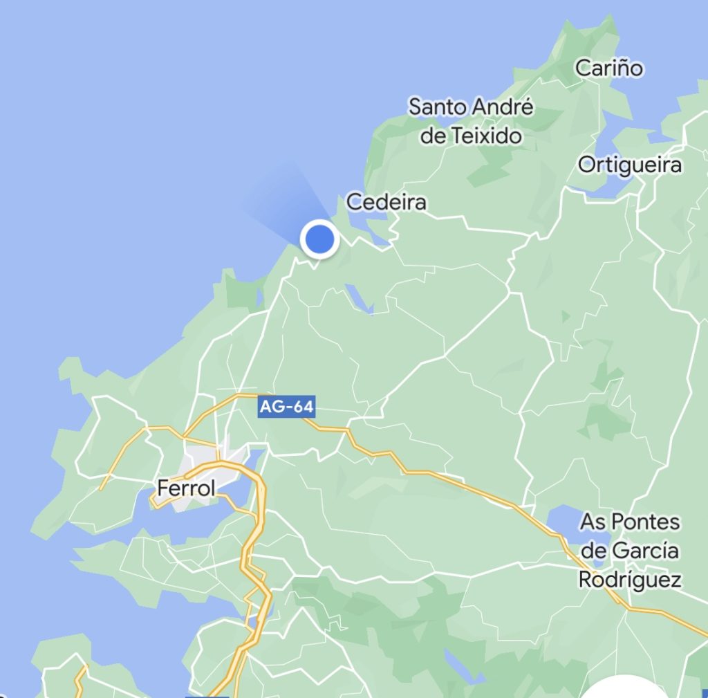
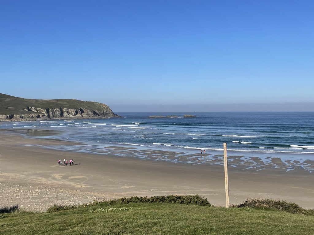
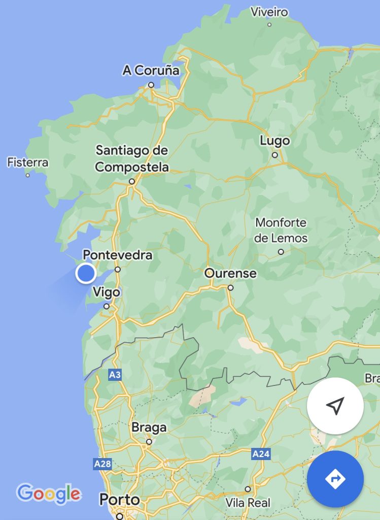
NORTH-WEST COAST – GALICIA
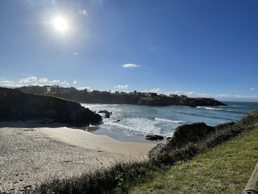
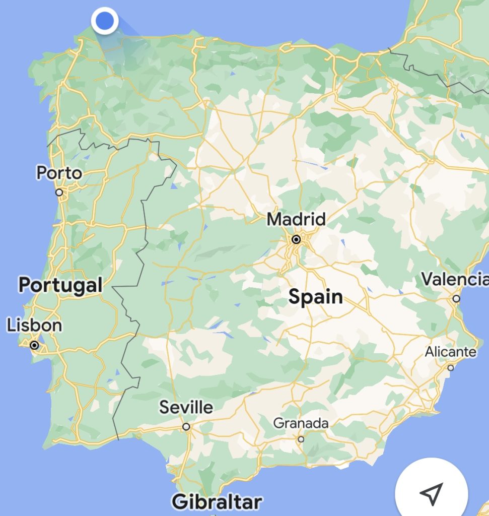
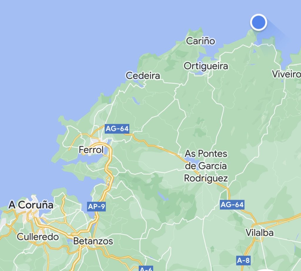
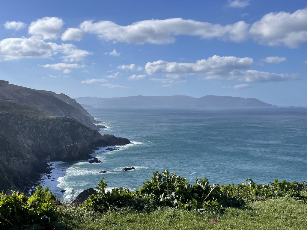
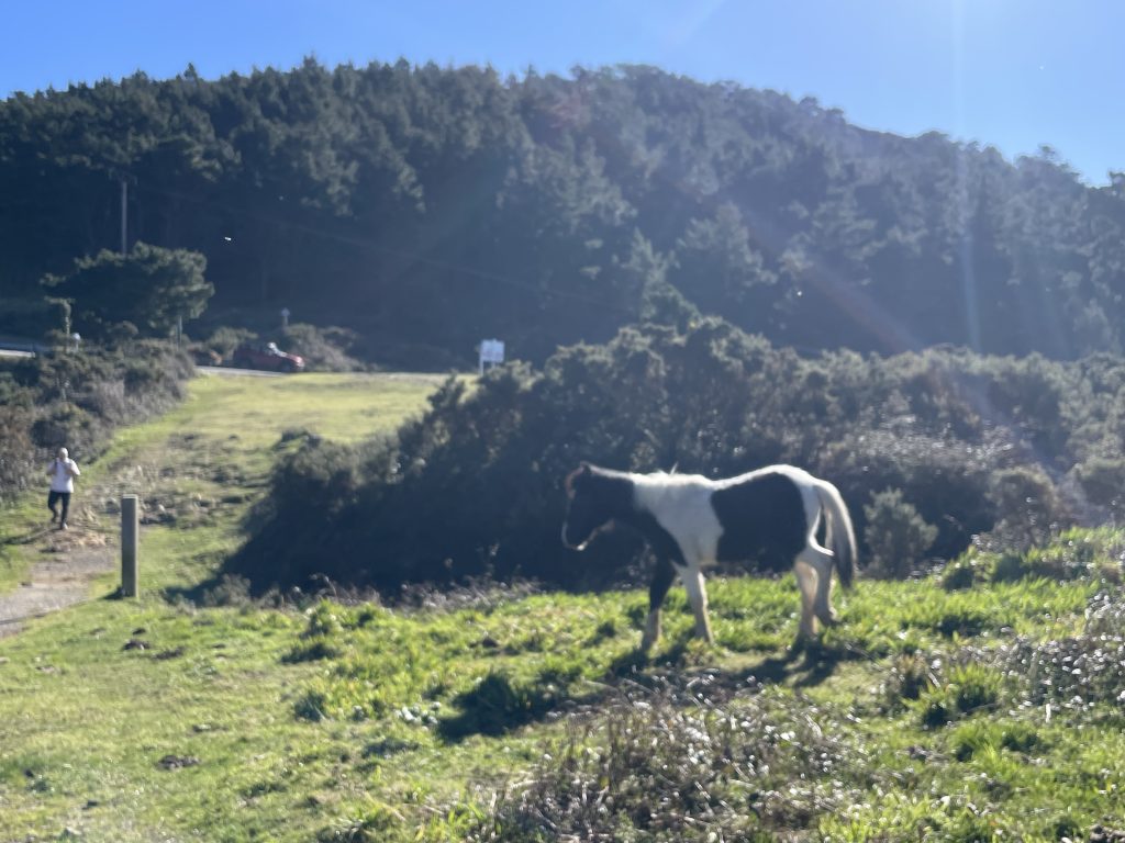
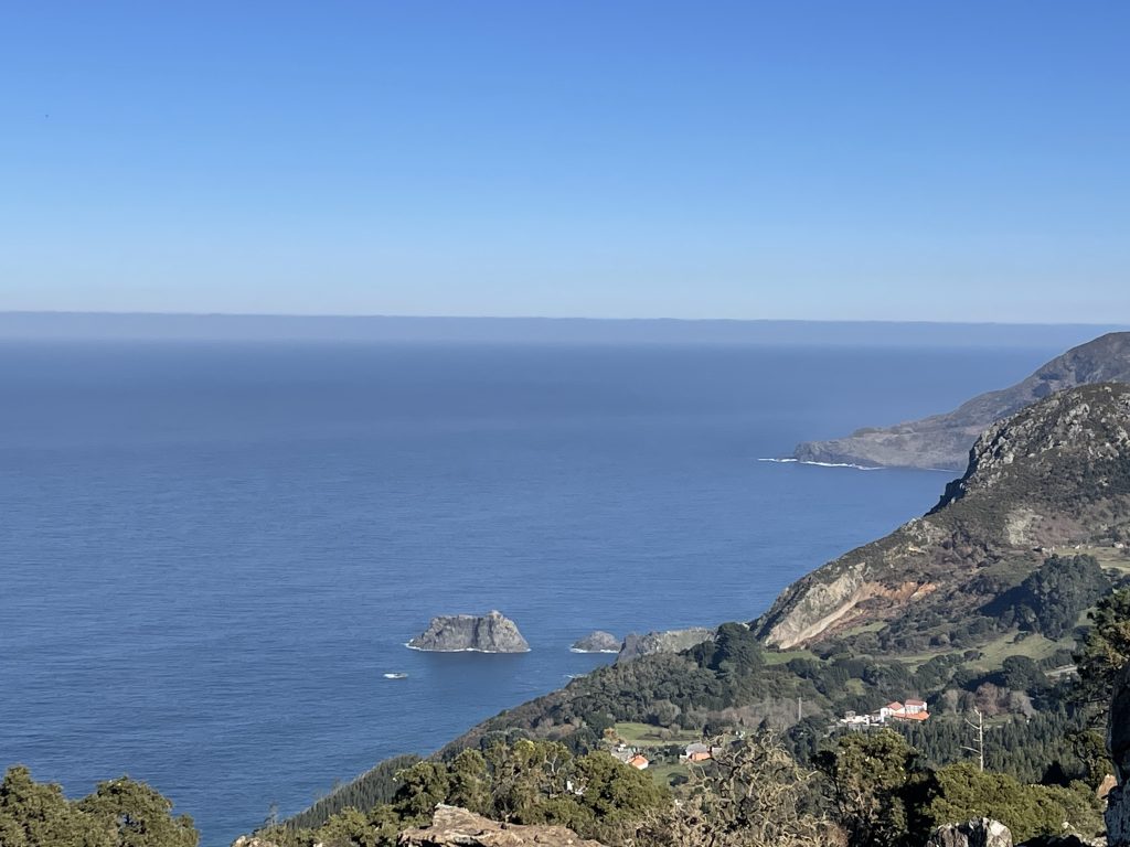
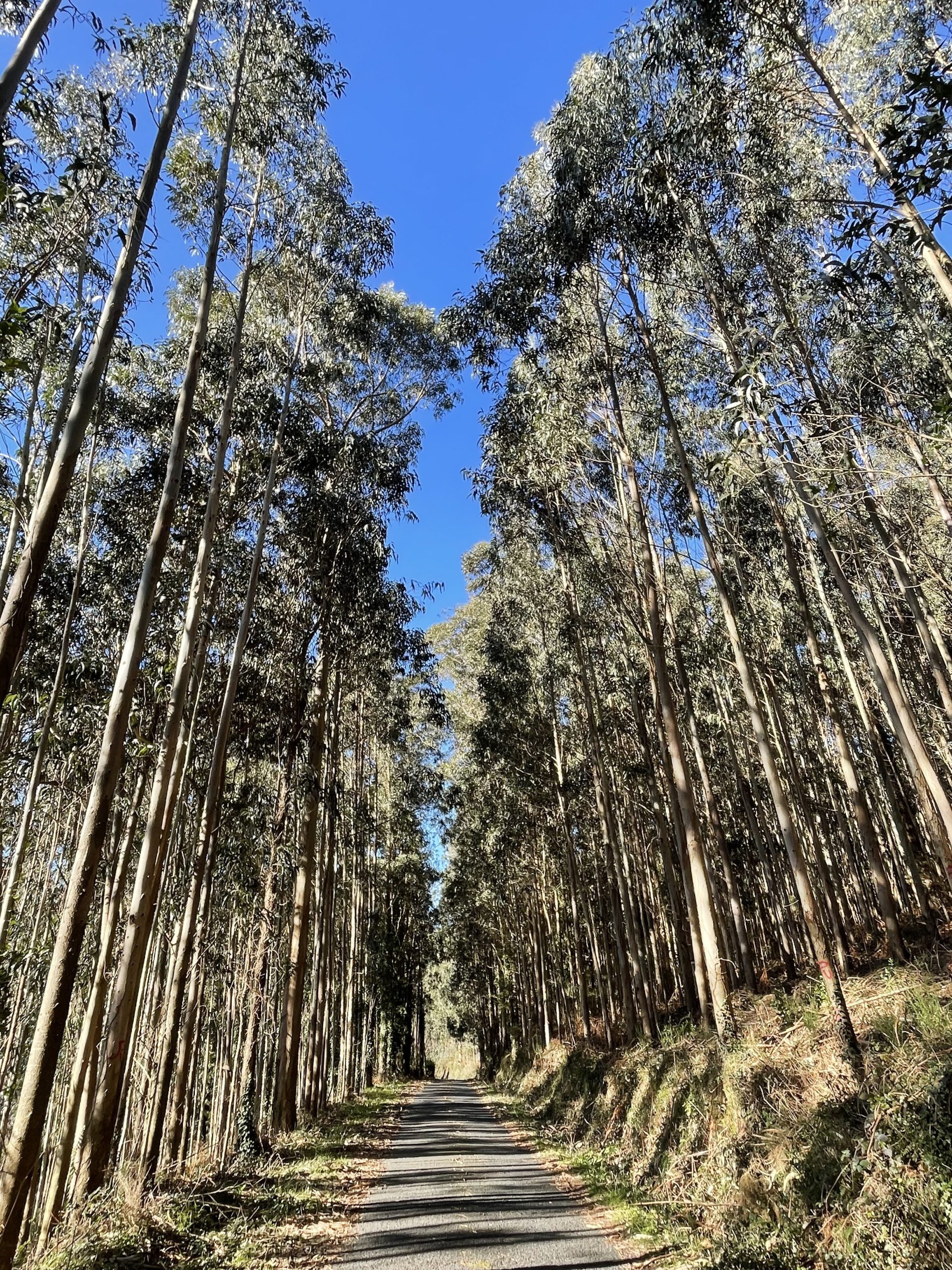
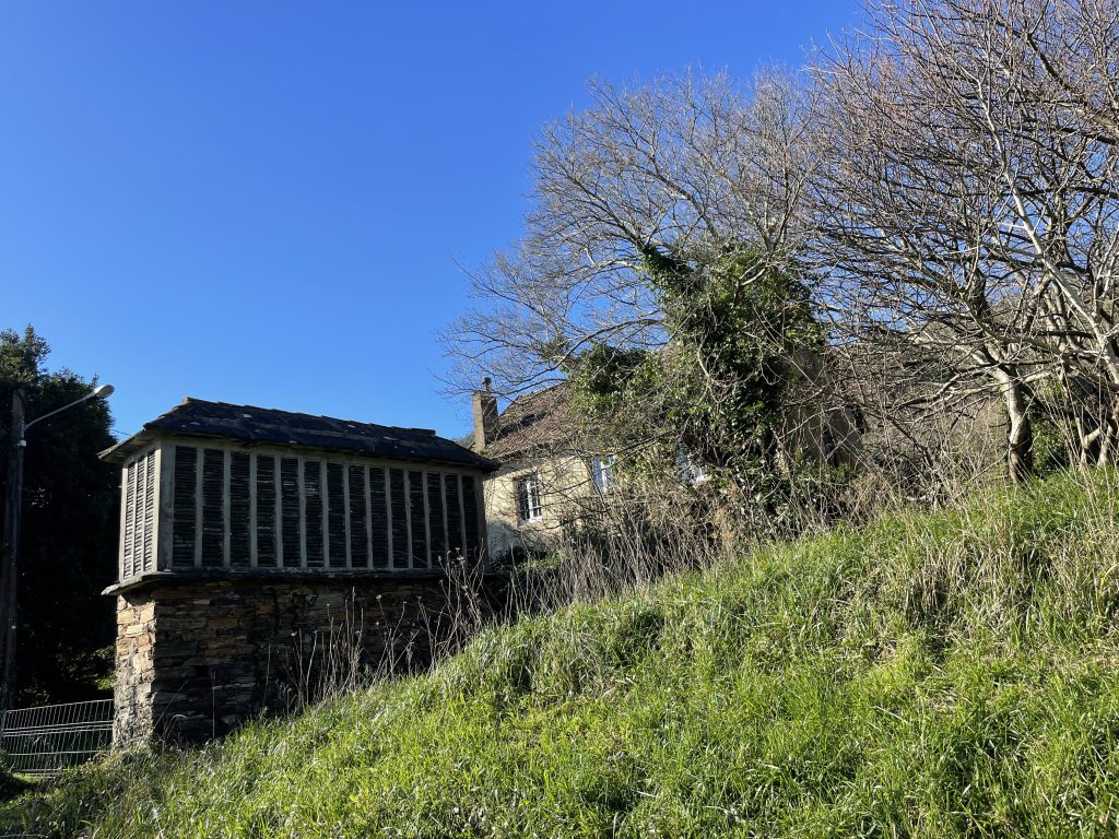
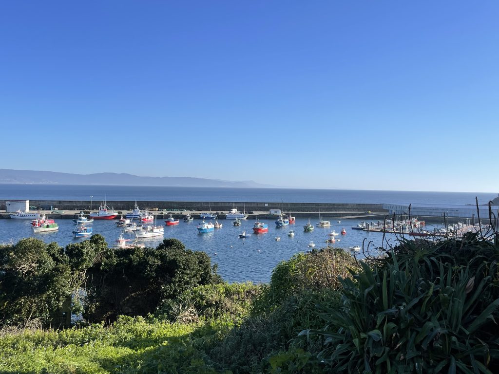
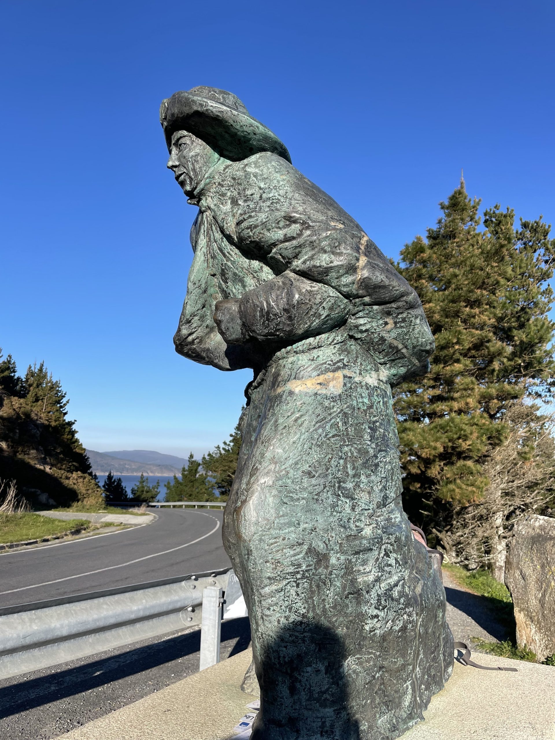
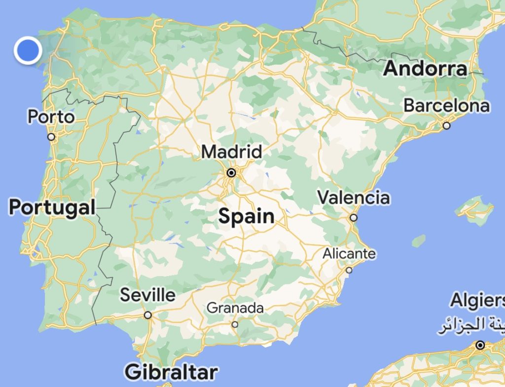
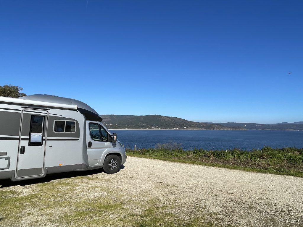
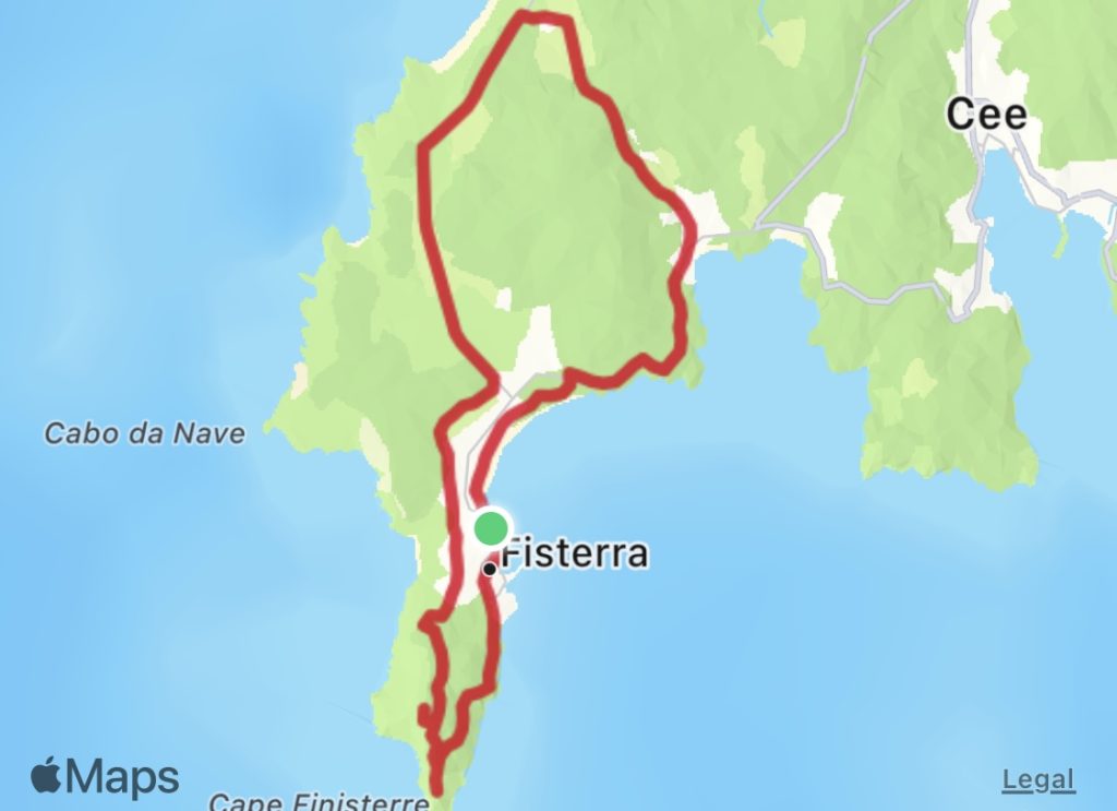
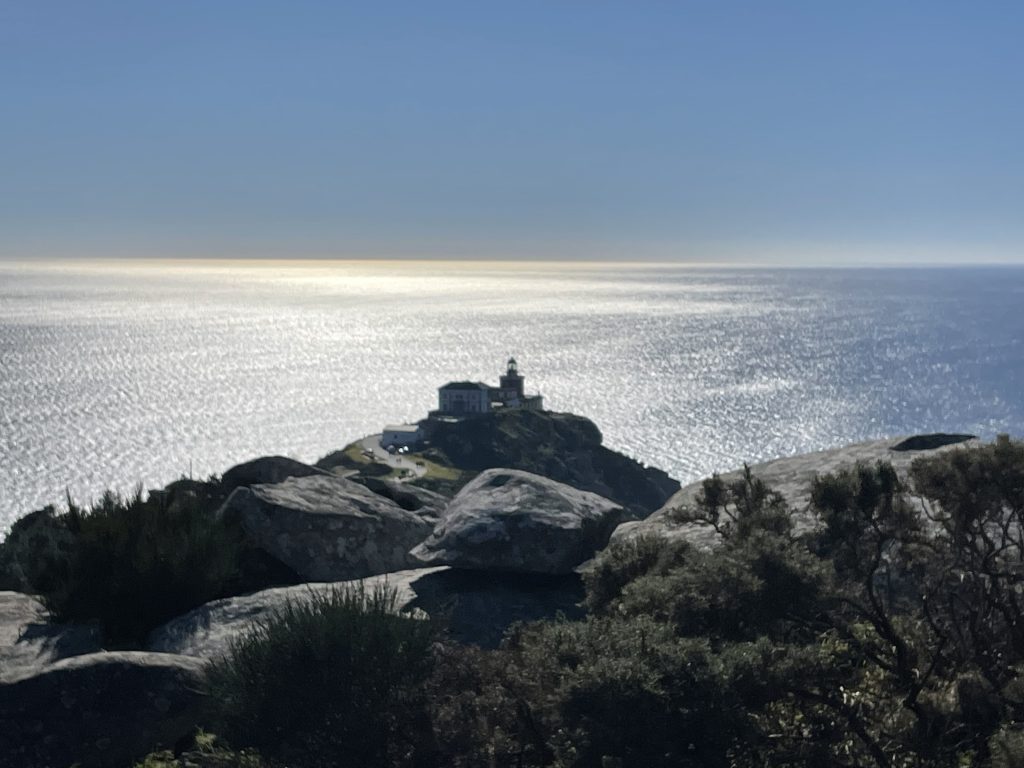
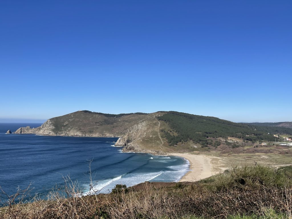
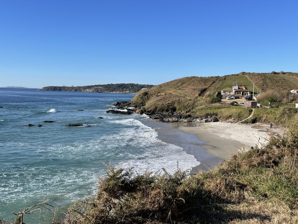
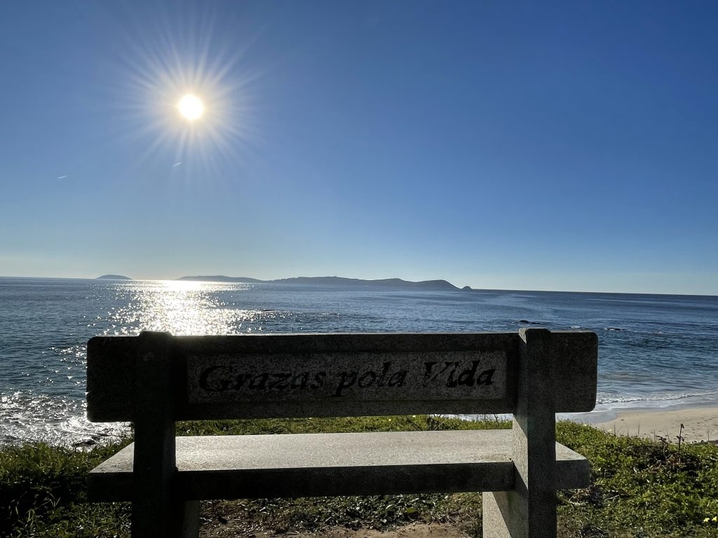
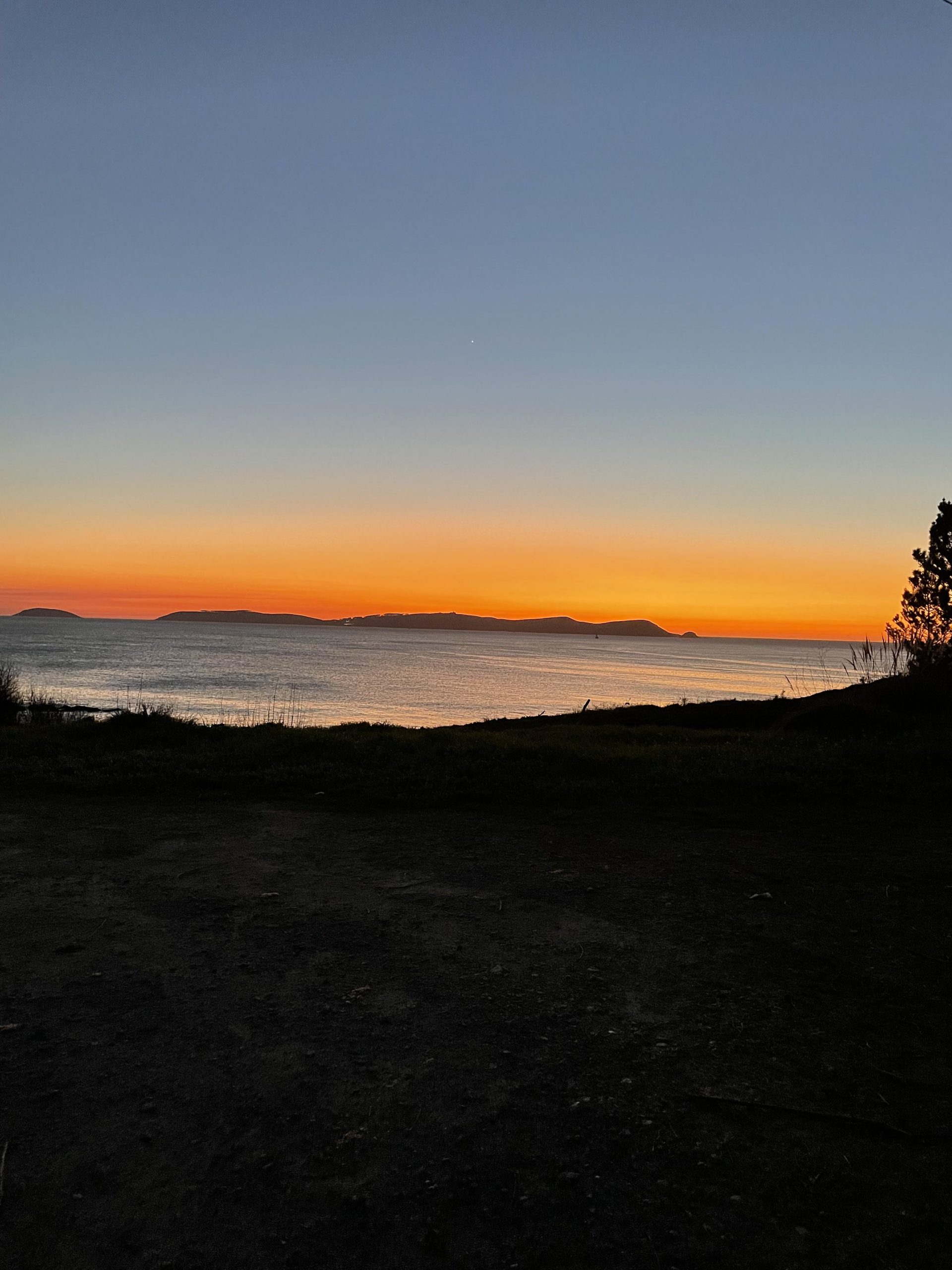
LAST 20 MILES INTO SANTIAGO DE COMPOSTELA
2 November 2022
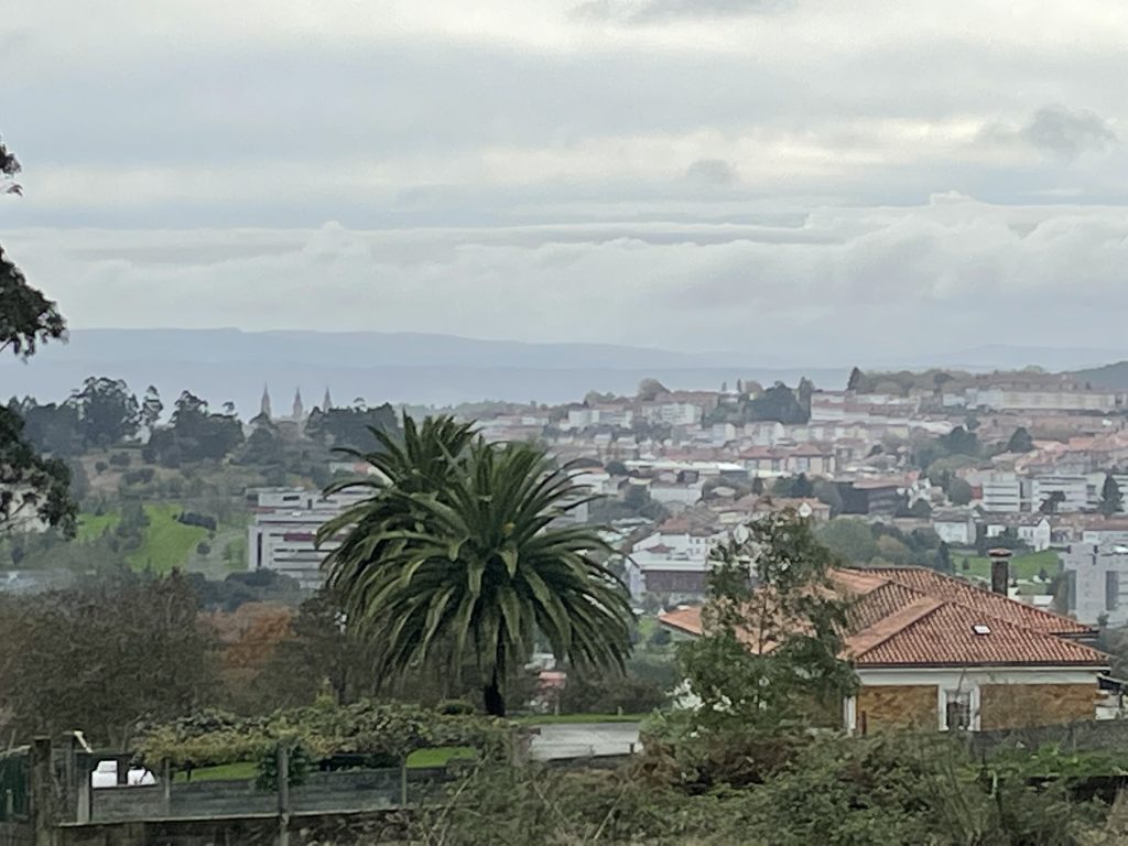
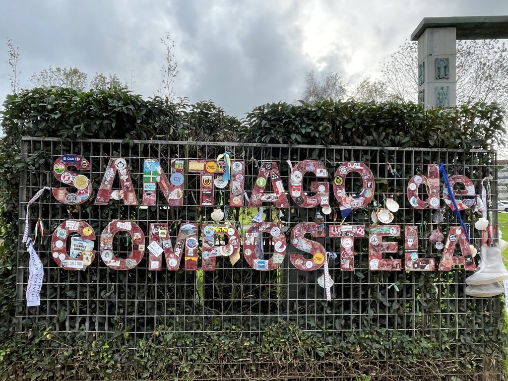
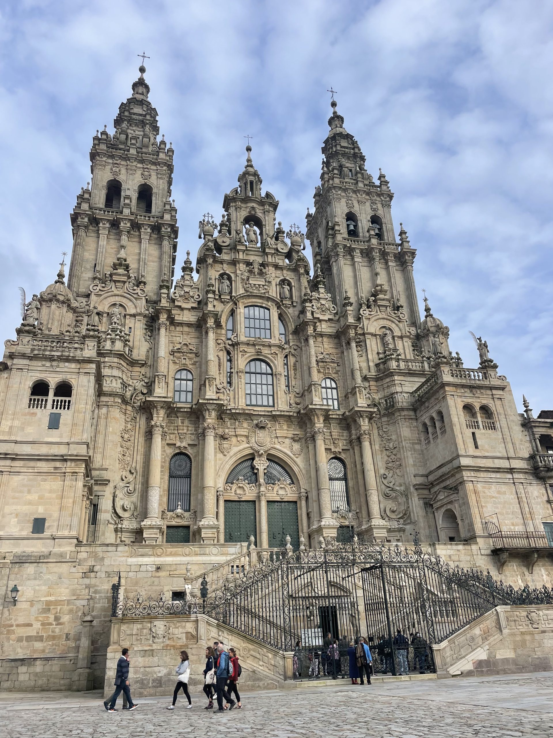
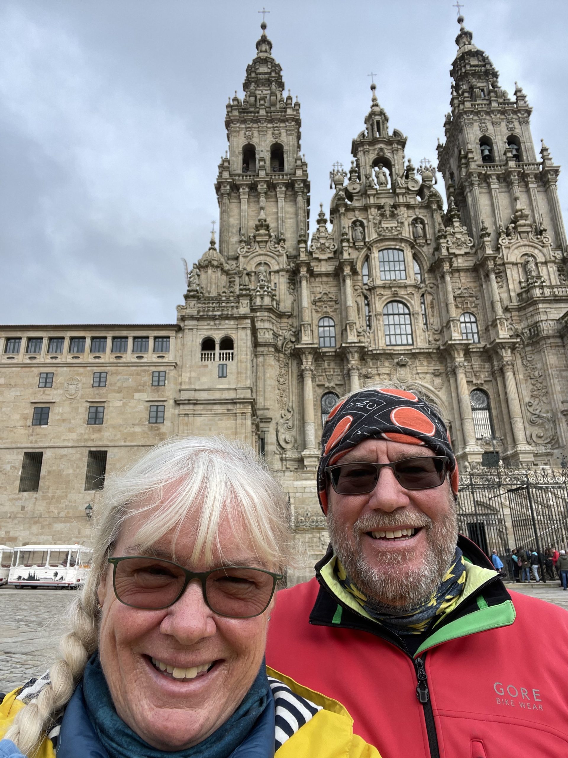
Starting at our campsite east of Santiago we cycled contraflow back to where we finished yesterday before cycling back the last 20 miles into the city to complete our Camino. A total of 944 miles over 28 days, an average of 34 miles each cycling day.
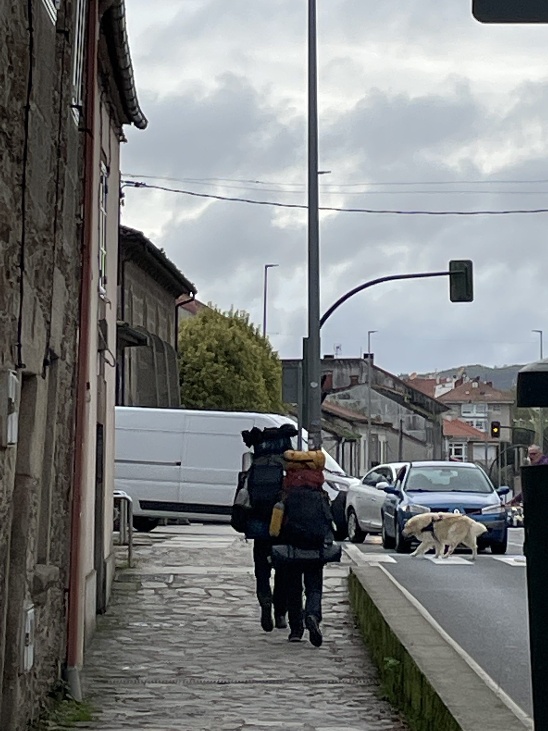
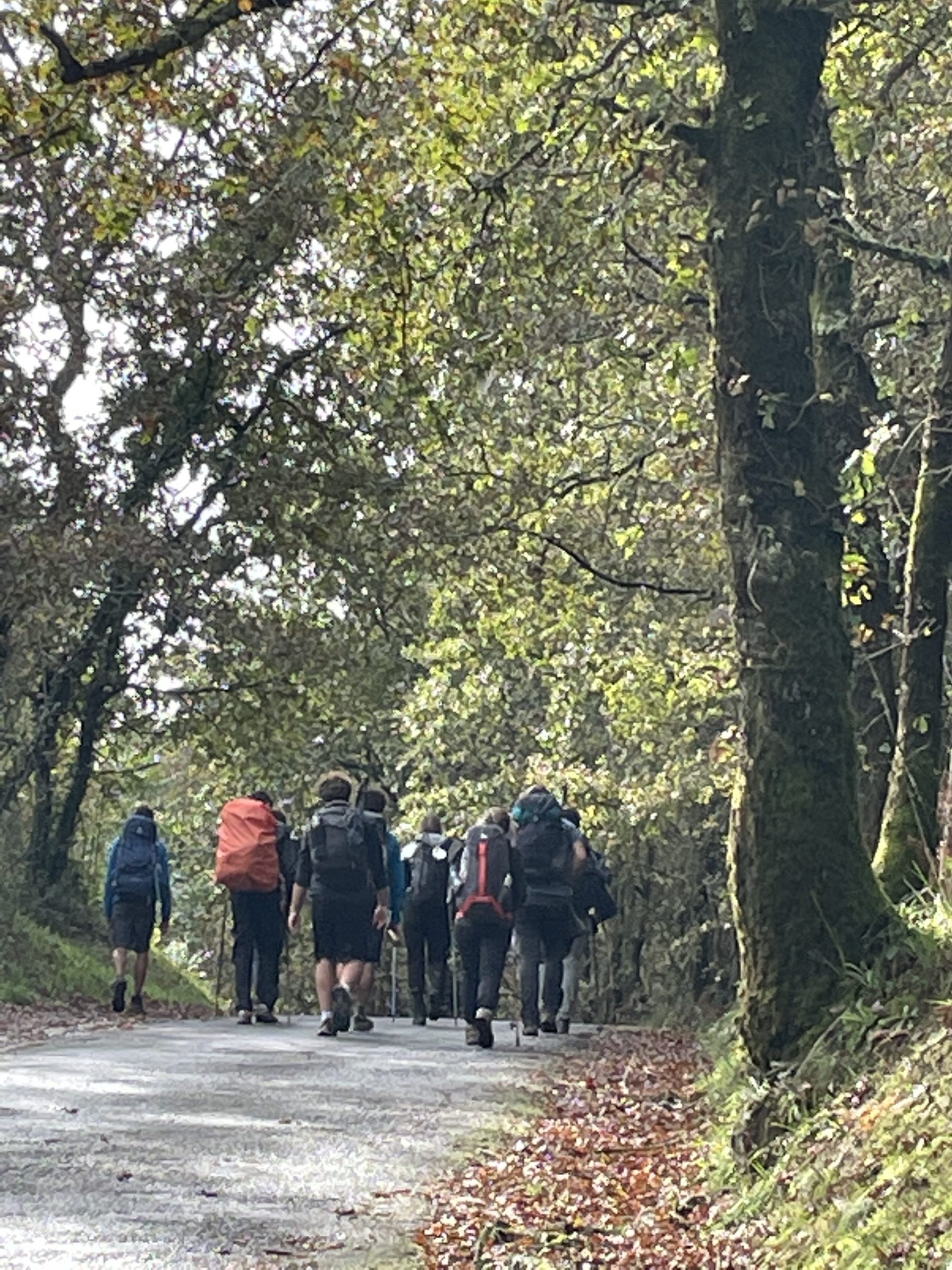
We passed streams of walking peregrinos, their faces telling us how far they had walked. Young groups still had plenty of energy, so they must have started at Sarria 60 miles away. Single walkers with expressions of pain and exhaustion told a different story, they had probably walked from the Pyrenees, nearly 500 miles, and were now in need of a new Pair-of-knees! Couples walked hand in hand, an expression of achievement in completing the long journey together. Others were singing, laughing, or just had expressions of euphoria and relief.
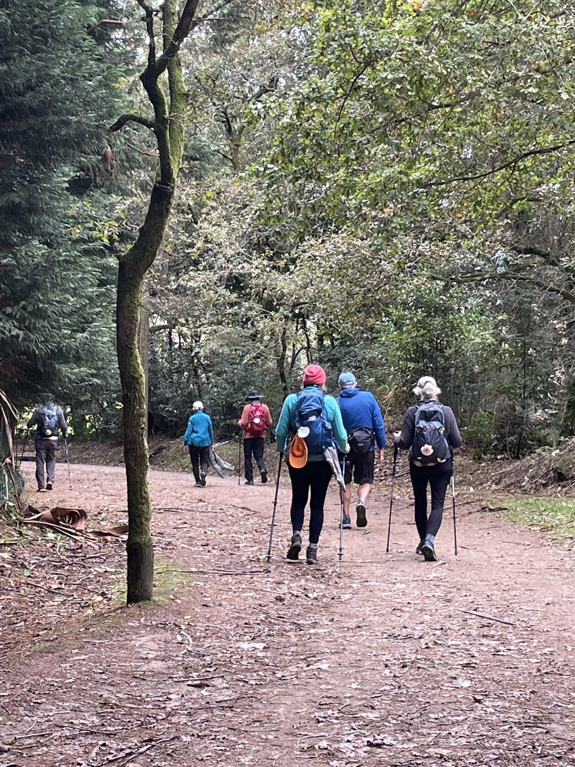
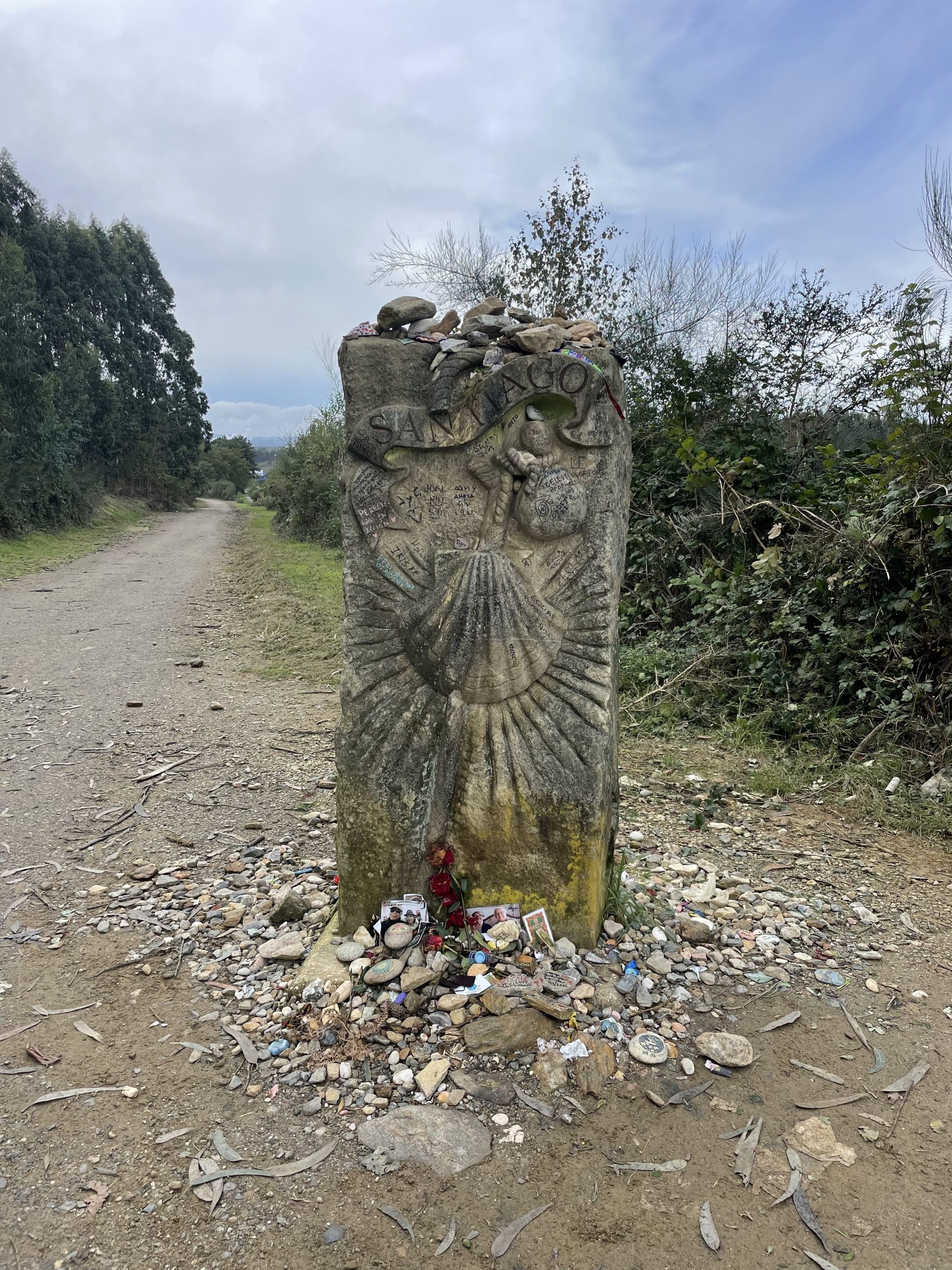
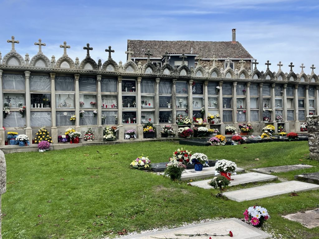
Sadly we noticed some memorials in the last few miles of pilgrims who hadn’t quite made it.
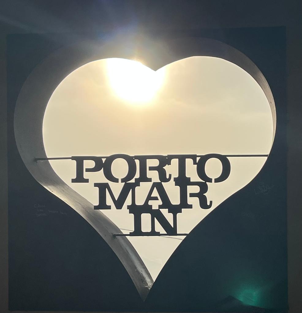
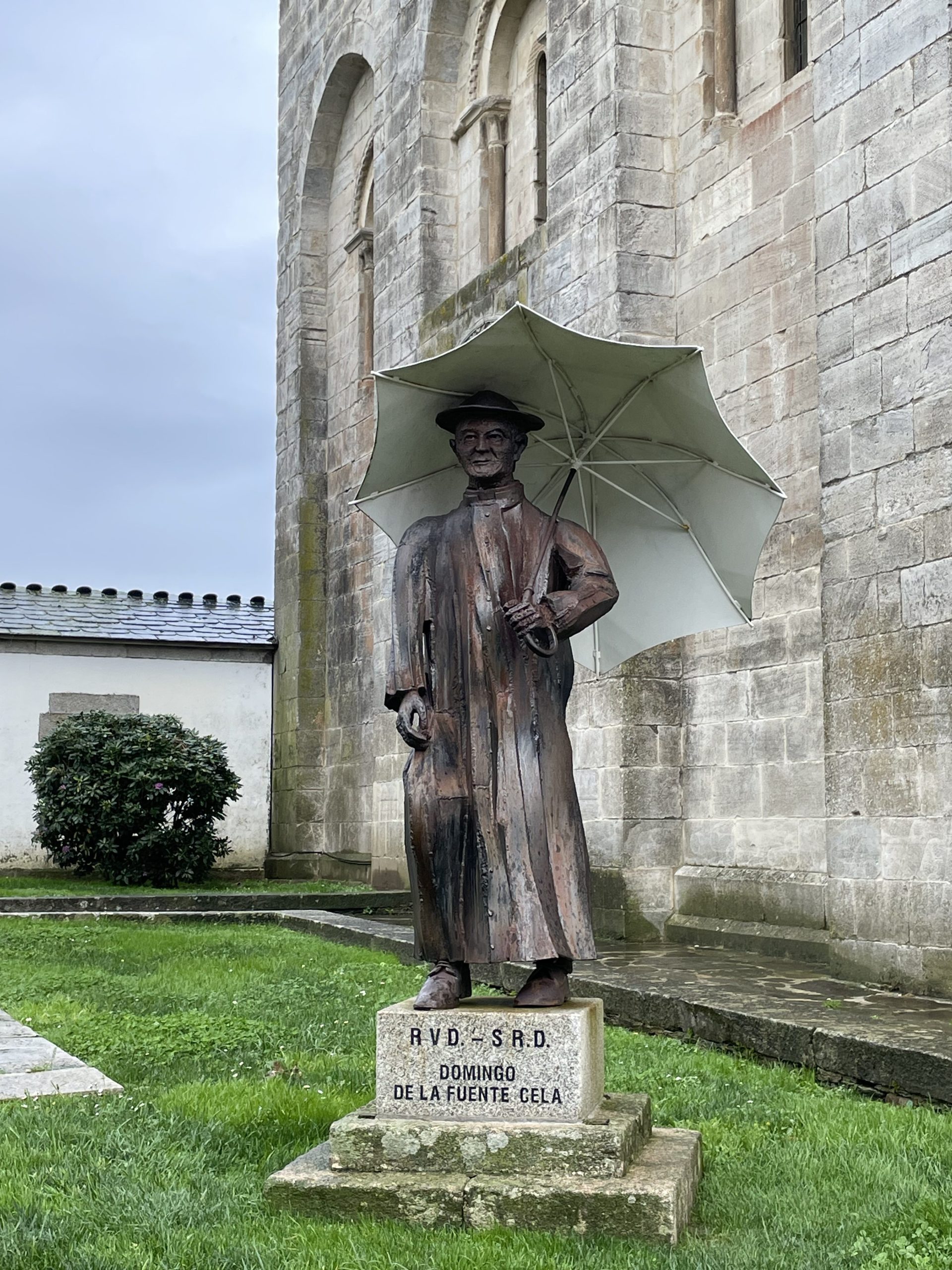
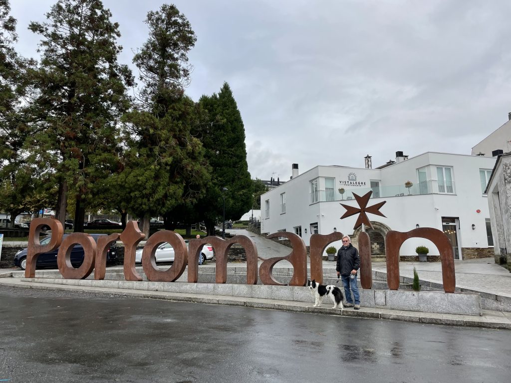
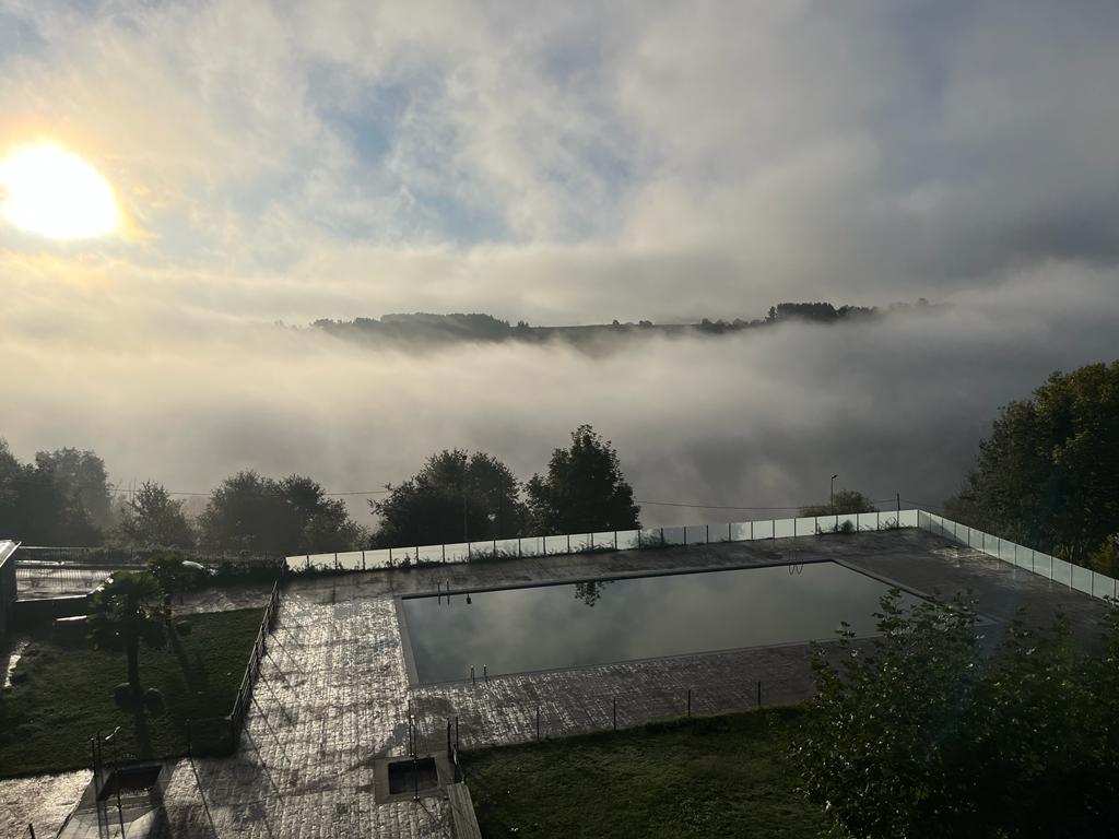
PORTOMARIN – A CALZADA
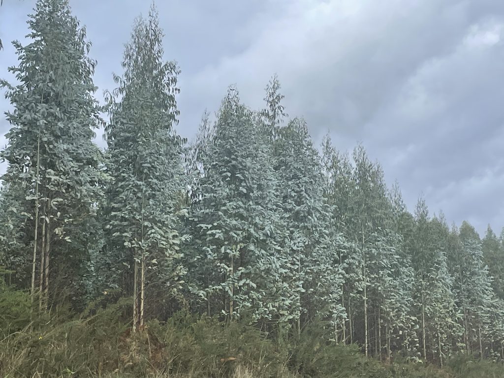
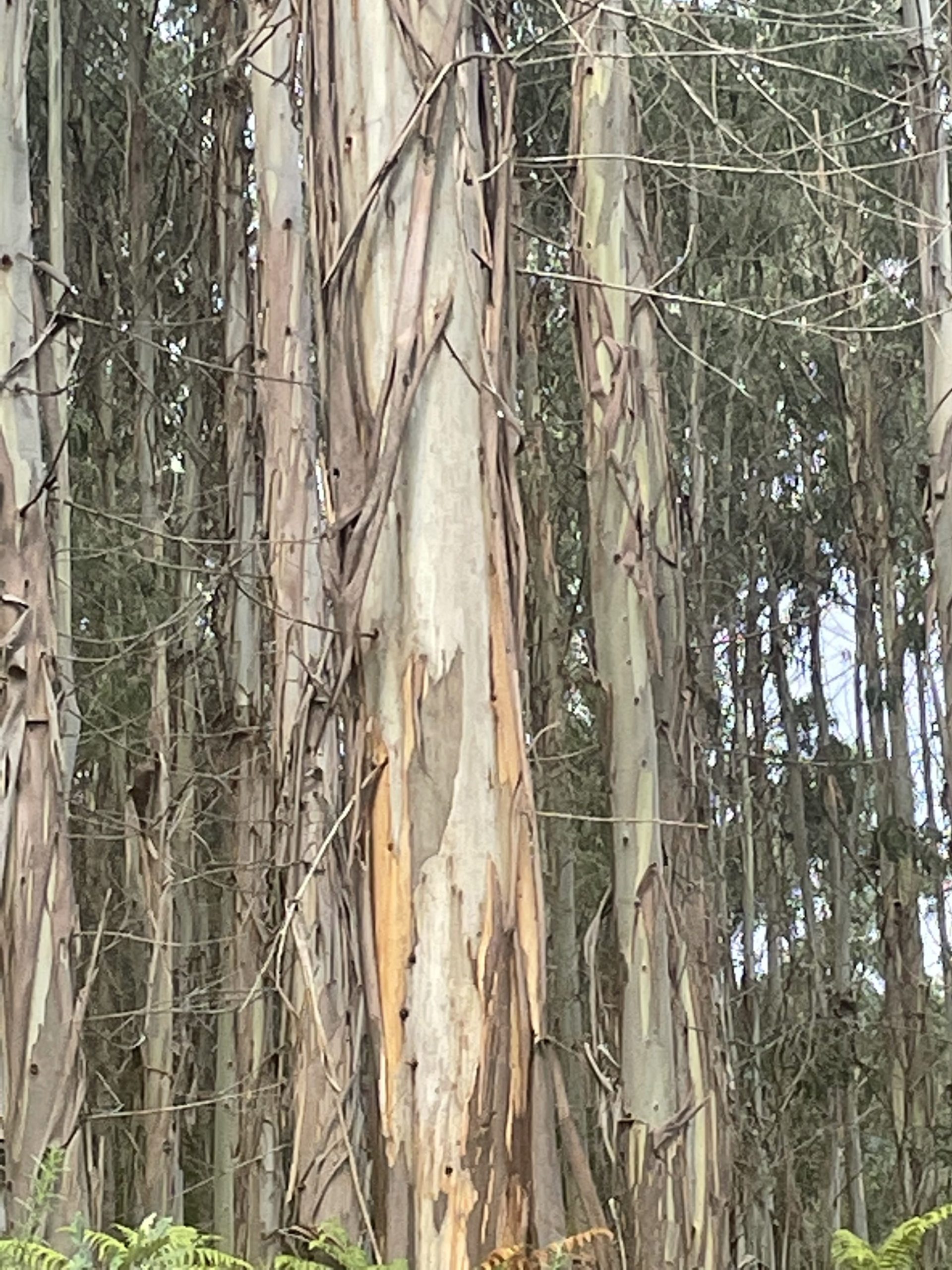
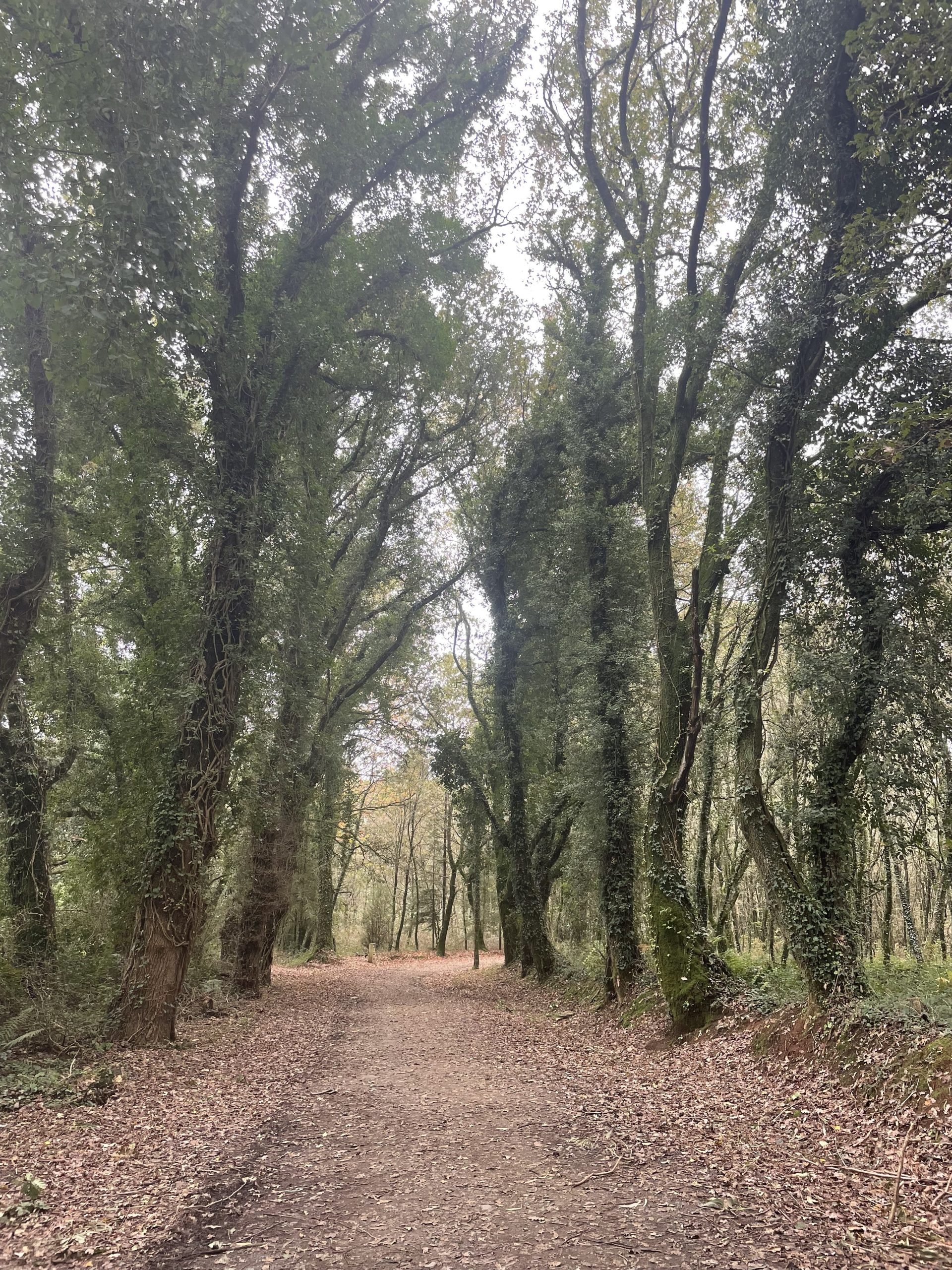
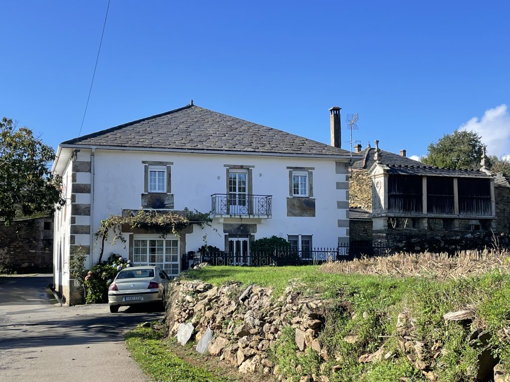
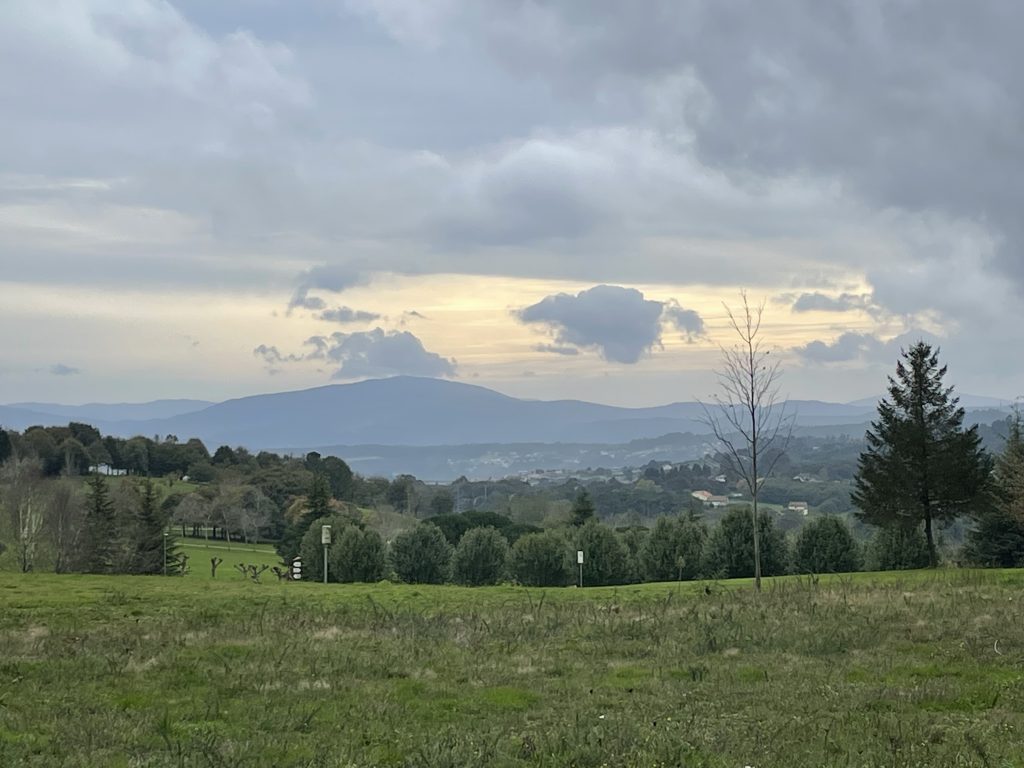
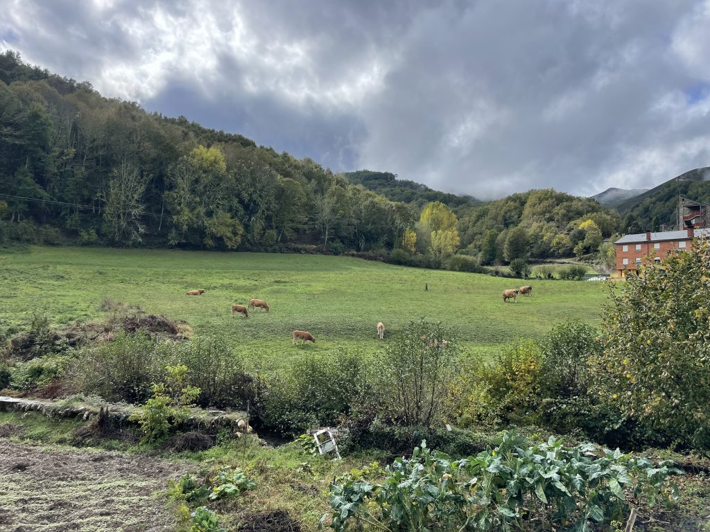
There are several features of the Galicia which stand out. One is the greenness of the fields and grass, it is verdant and lush. Two, the small villages are unlike other Spanish villages in that they lack the play park and outside gym. Three, the forests are vast, mostly coniferous, but also eucalyptus, the scents of both are clean and fresh. Four, the locals are not as friendly as previous sections of the Camino, they only say Buenos Dias if we say it first. Five, small elderly women wearing headscarves and aprons work diligently and enthusiastically outside their properties with rakes, picks and secateurs preparing for winter. Six, the houses are large detached affairs with neatly kept gardens including vegetable gardens and a small paddock for sheep. Seven, farming is mixed, cattle and sheep in fields, but the pigs and chickens are still kept inside 😢Eight, the largest mushrooms grow here. Nine, large aggressive dogs guard the properties and run out to bare their teeth as you cycle past, and they bark all night too. Ten, it rains a lot!
But the most noticeable difference along the Camino in Galicia are the numbers of pilgrims walking towards Santiago. In order to qualify for your Compostela certificate you have to complete at least 100km (60 miles) of the Camino. This means a lot of pilgrims start at Sarria which is just over 100km from The cathedral in Santiago de Compostela.
These newbie pilgrims seem to be younger than those who walk or cycle the whole 800km (500 miles) from the Pyrenees, possibly due to having shorter holidays, or not wanting to commit to the epic without dipping their toes in first?
Anyhow, there are so many, even at the beginning of November, that they can surely only see the line of humans in front of them, crawling along with large backpacks and brightly coloured rainwear.






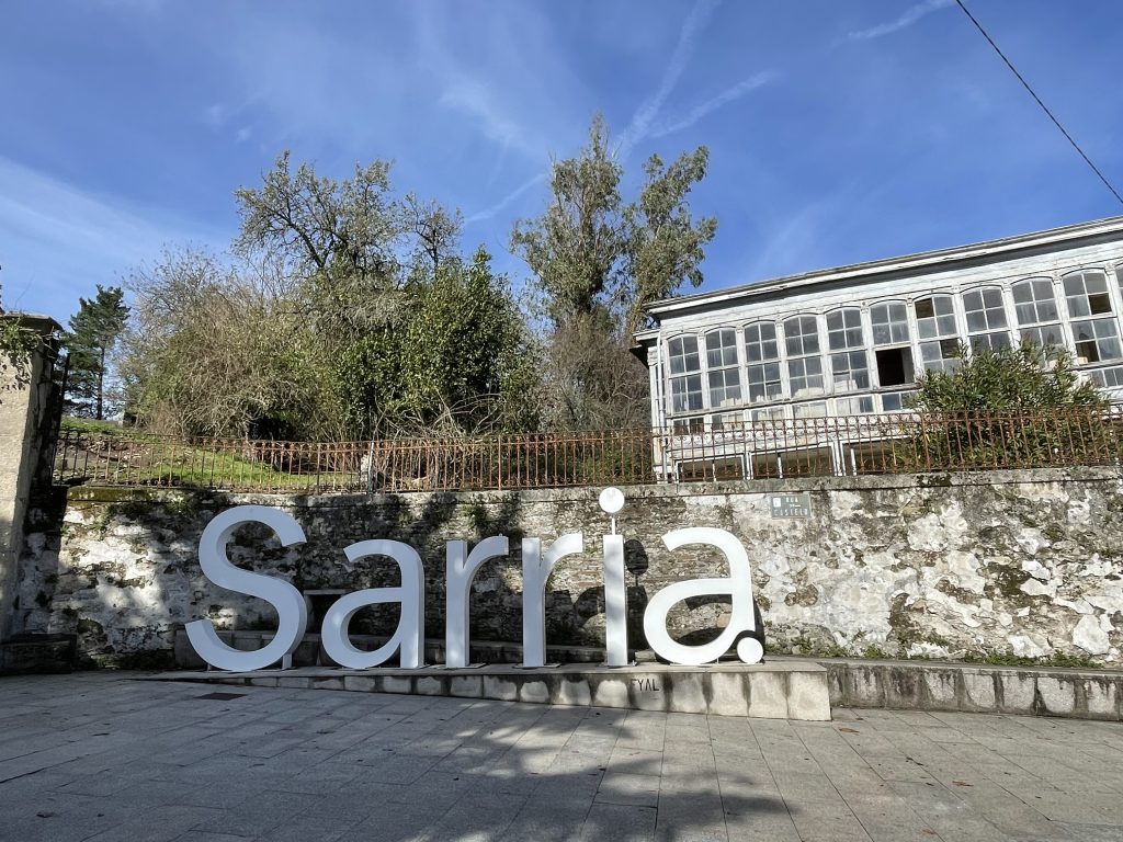
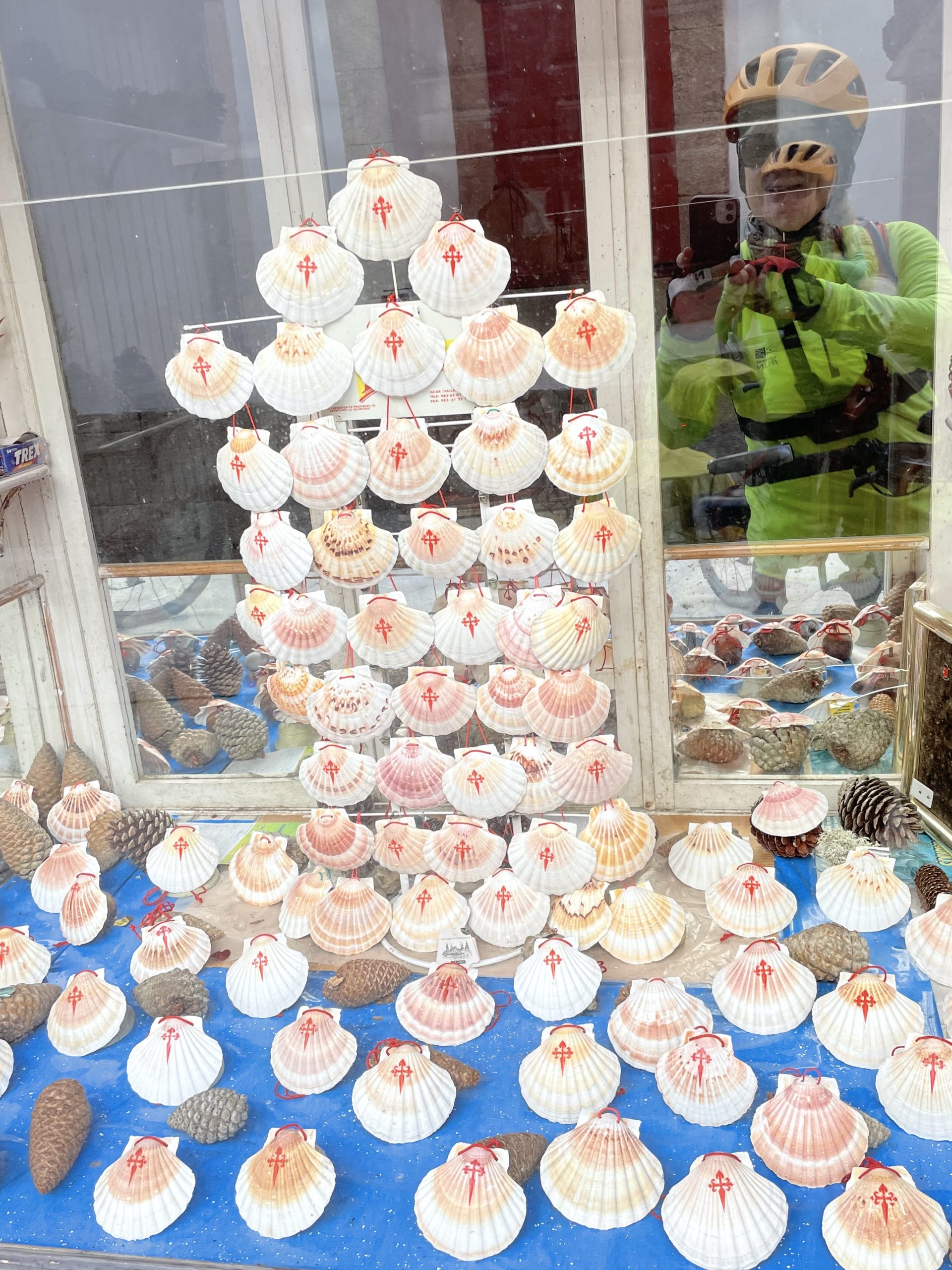
SARRIA TO PORTOMARIN
We couldn’t stay away from the Camino for long, it kept calling us back! So here we are after our four days off, pedalling towards Santiago de Compostela again through the beautiful countryside of Galicia which reminds us of the west country, Wales, Ireland; anywhere that gets a lot of rain.
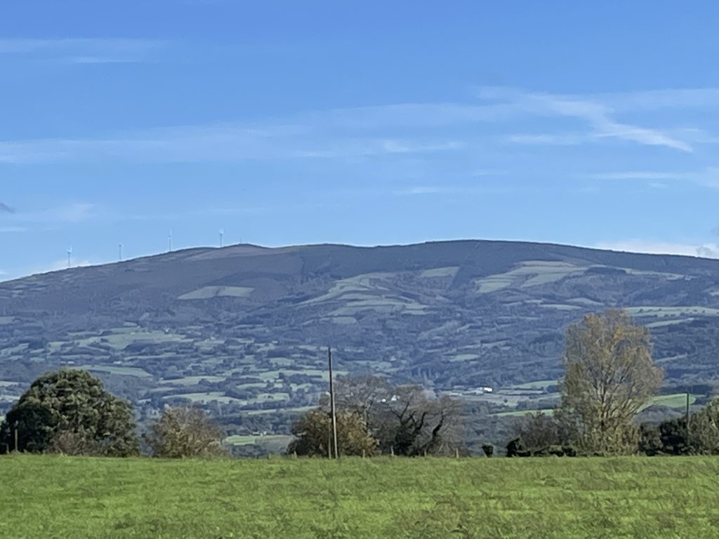
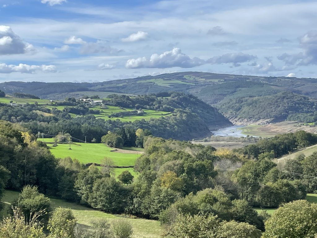
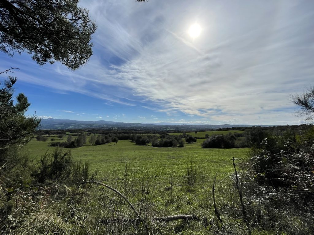
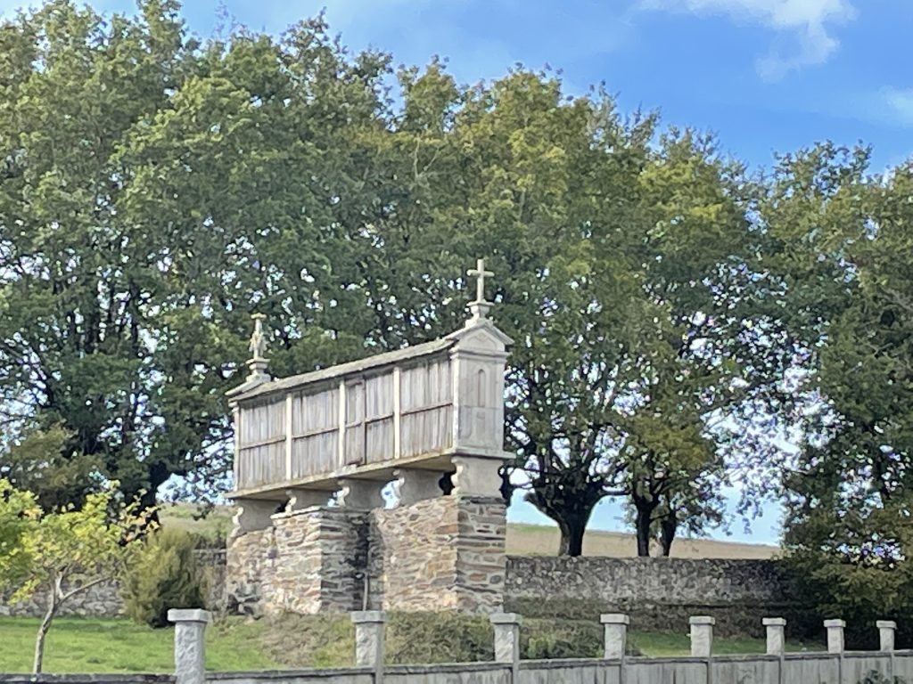
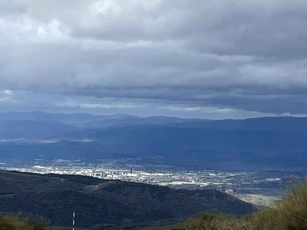
With heavy hearts and in heavy rain we descended from the beautiful mountains on the border of Galicia and Castille y Leon, passing through the many places we had cycled along the Camino. We knew what we were each thinking, should we stay and finish the Camino, or head south and return when the weather was better? Having already cycled so far, and with just 75 miles away from our target of Santiago de Compostela, it seemed crazy not to stay and finish. But the weather was so wet that the Camino wasn’t safe, Penny was feeling exhausted, and had fallen off on the last day of cycling, so we let our heads rule our hearts and headed south.
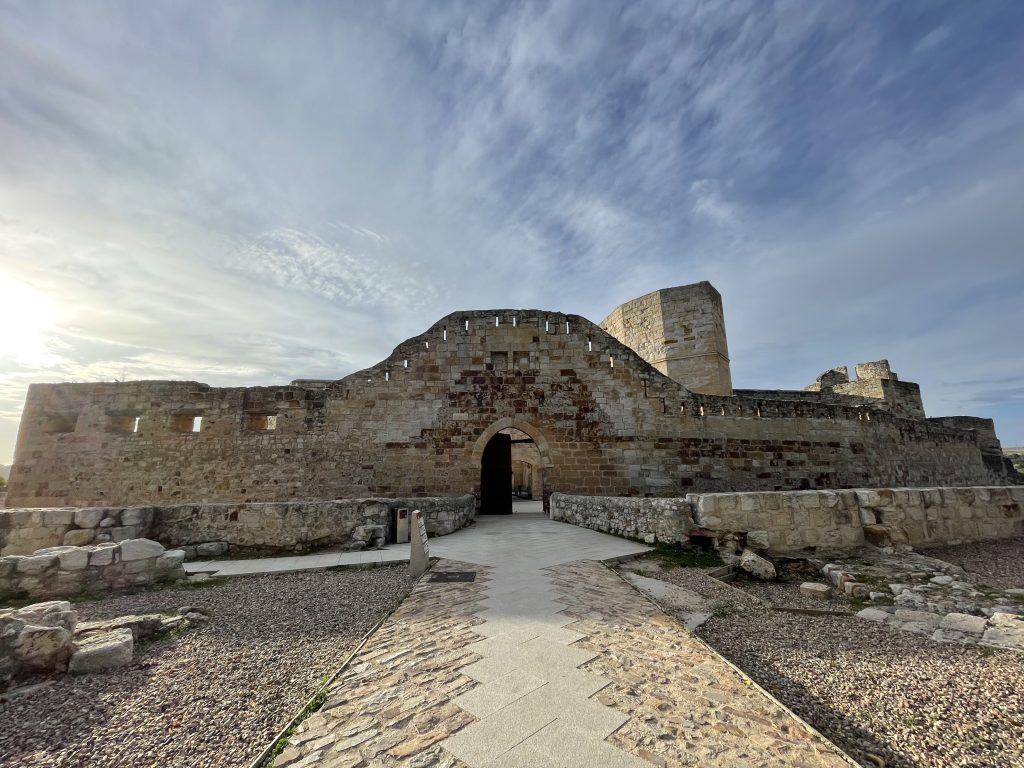
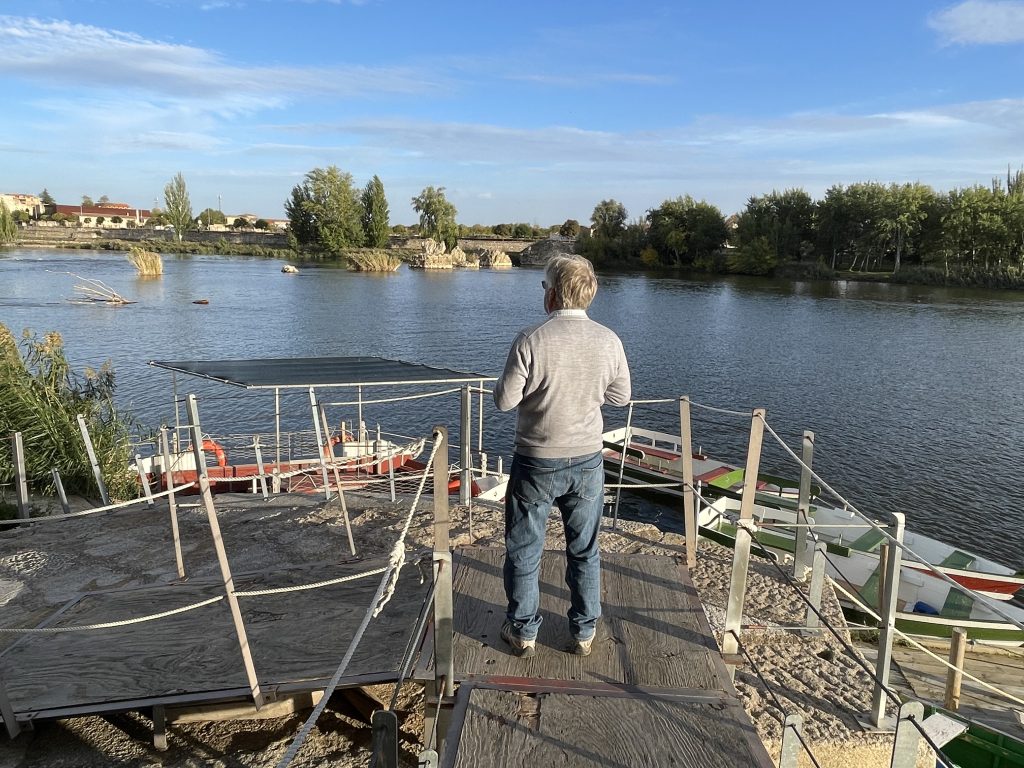
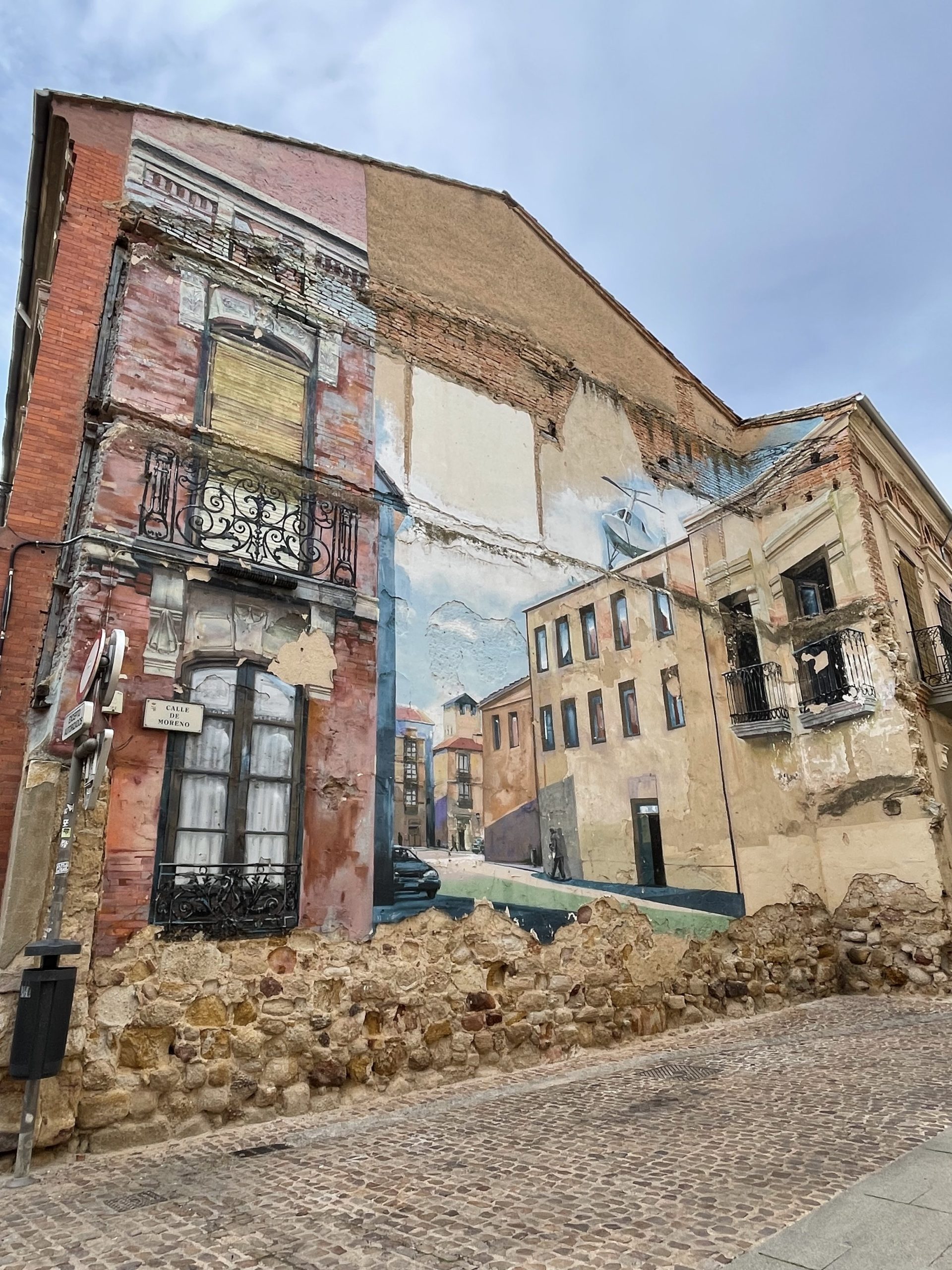
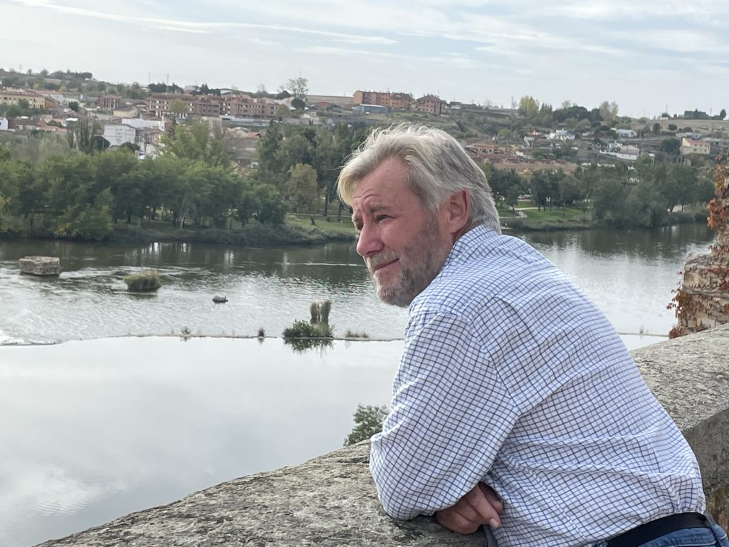
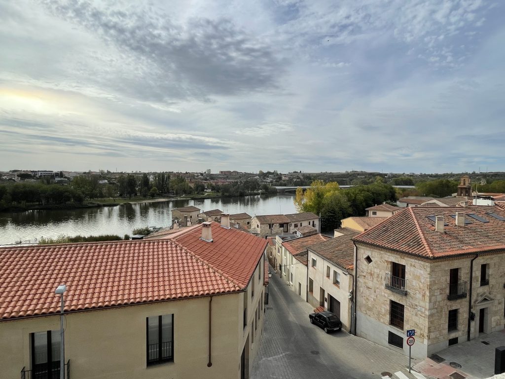
We had heard that Zamora, 3 hours away, was worth a visit, so we parked up at the free Aire and headed to the Casco Historico – the old quarter – just around the corner. We were glad we did …





VILLAFRANCA DEL BIERZO TO SARRIA
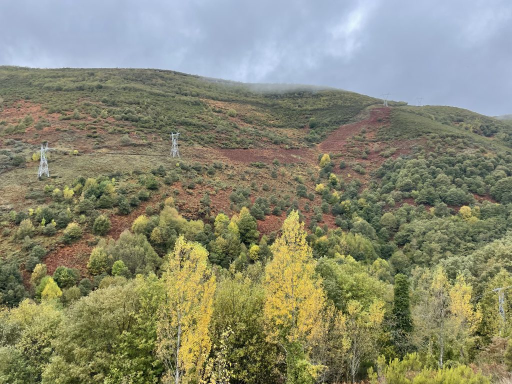
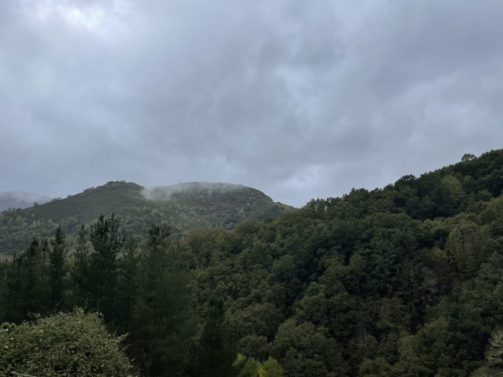
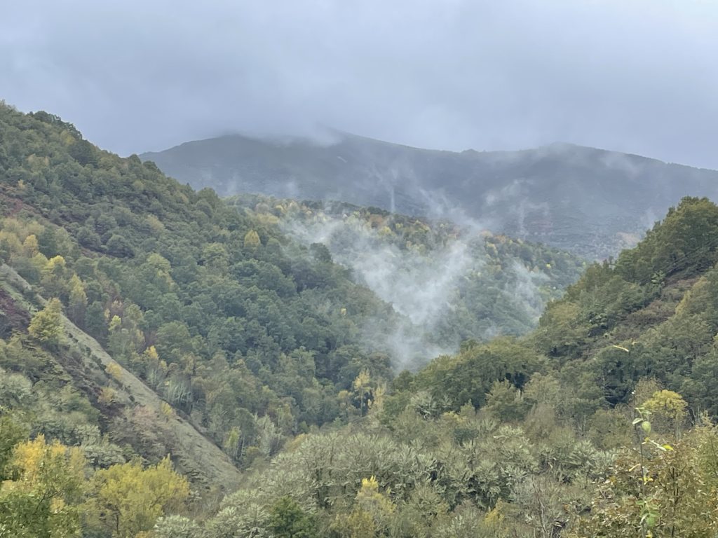
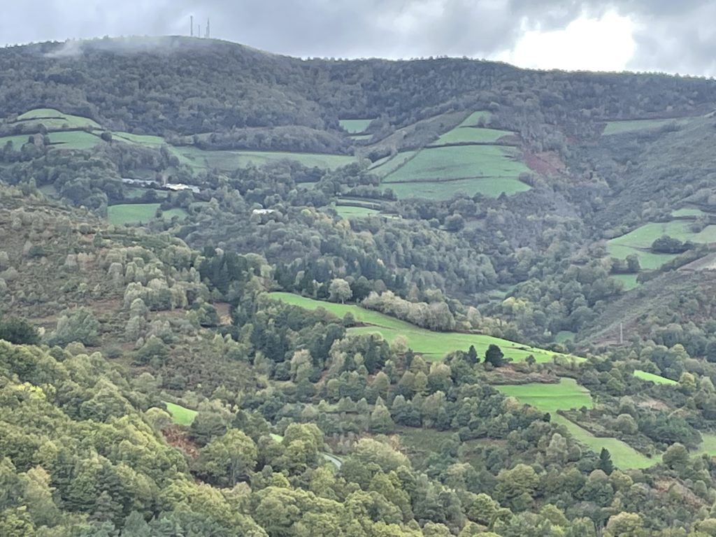
This is the border of the provinces of Leon and Galicia and straddles the Cantabrian Mountain Sierras of Ancares and Courel at a height of over 1,300 metres. At this time of year this means low cloud and almost constant drizzle.
We cycled from Villafranca del Bierzo uphill for 17 miles in our waterproofs without being able to see very much, and when we had nearly reached the top our route was barred by the construction of a new main road. We turned round and decided to go back to the camper and call it a day.
Last night we moved the camper to the other side of the mountain in the hope that we could cycle back to where we had left off, but today we had to abandon the route after 13 miles as it was too wet and windy.
The forecast is looking wetter by the day, so we have decided to postpone the final 75 miles of the Camino till a time when the weather permits us to enjoy the scenery, to take photos and cycle in safer conditions. We have liked what we have seen of Galicia, and look forward to returning next year to get the full benefit of the province.
Hasta la vista Galicia!
PONFERRADA TO VILLAFRANCA DEL BIERZO
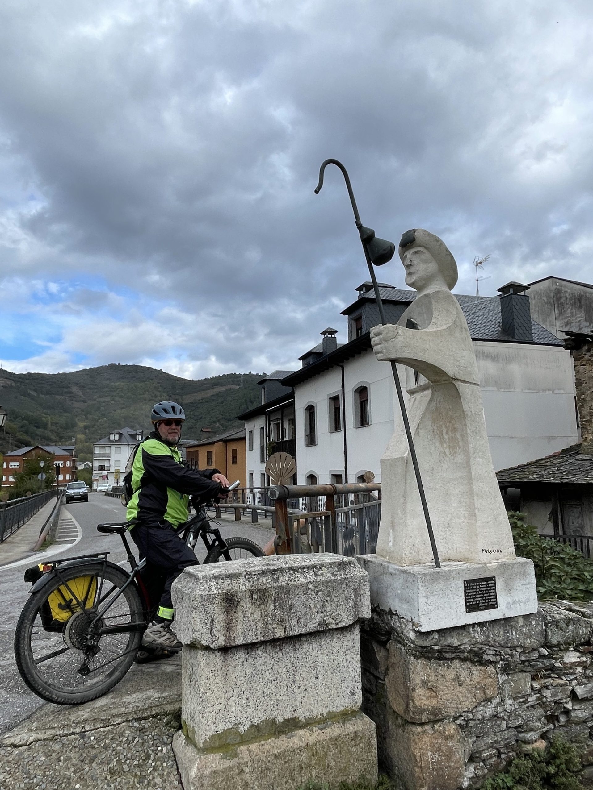
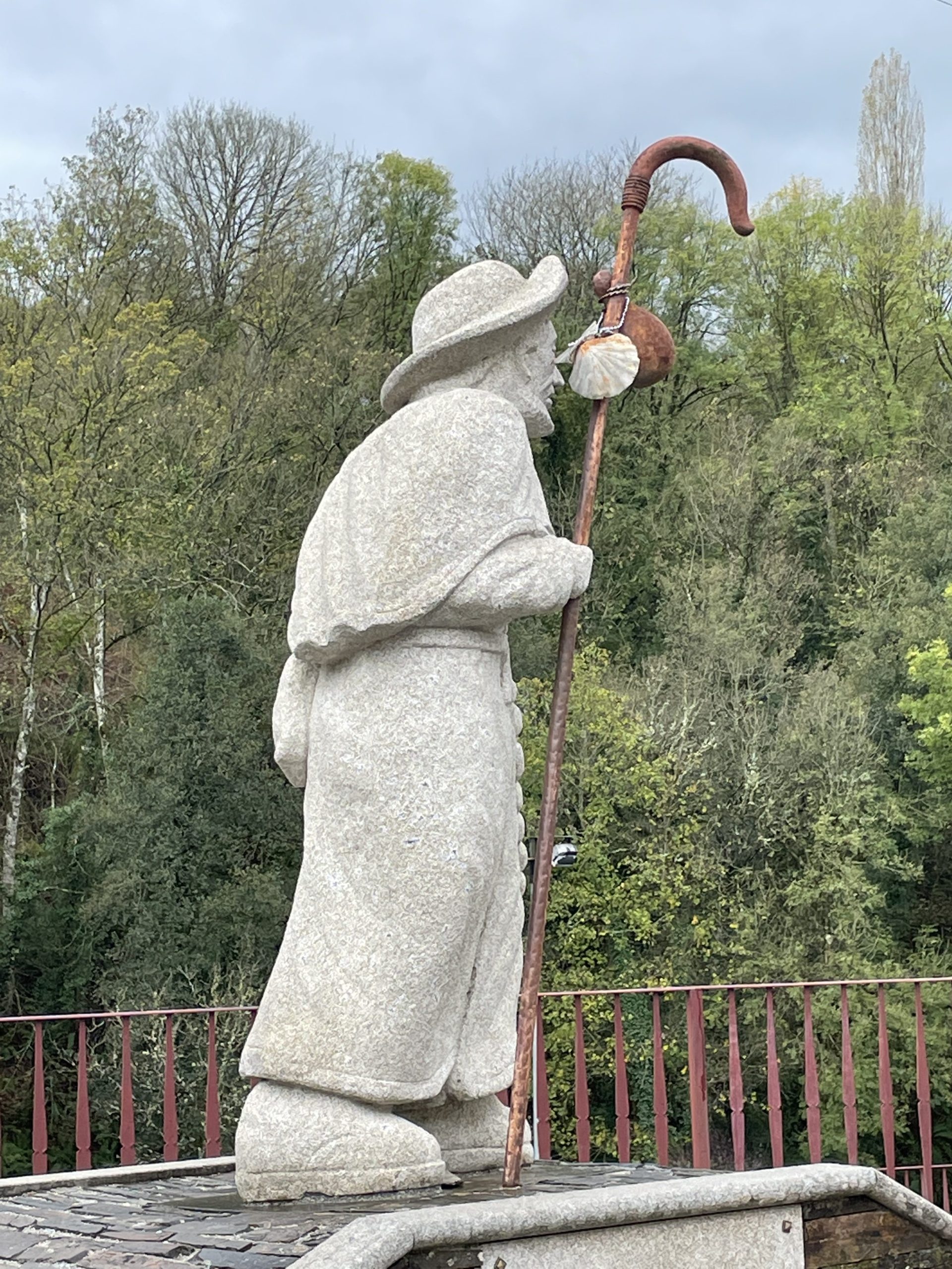
Today, Friday 21 October 2022, is one month since we started cycling the Camino in St Jean Pied de Port. We have cycled 371 miles in both directions, a total of 742 miles over 22 cycling days.
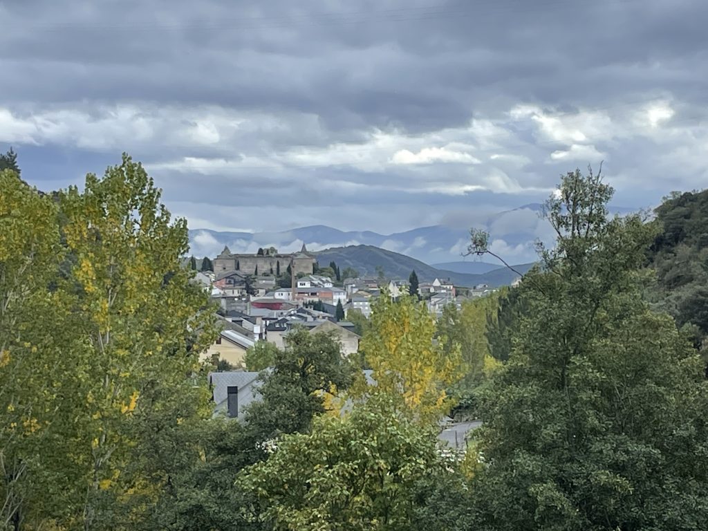
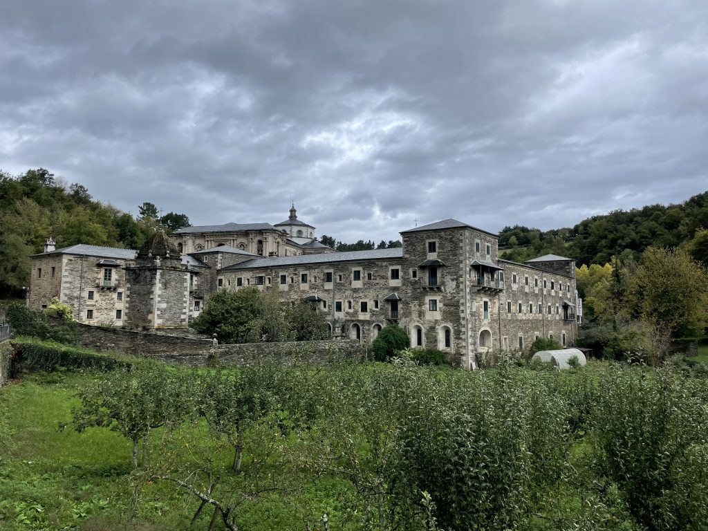
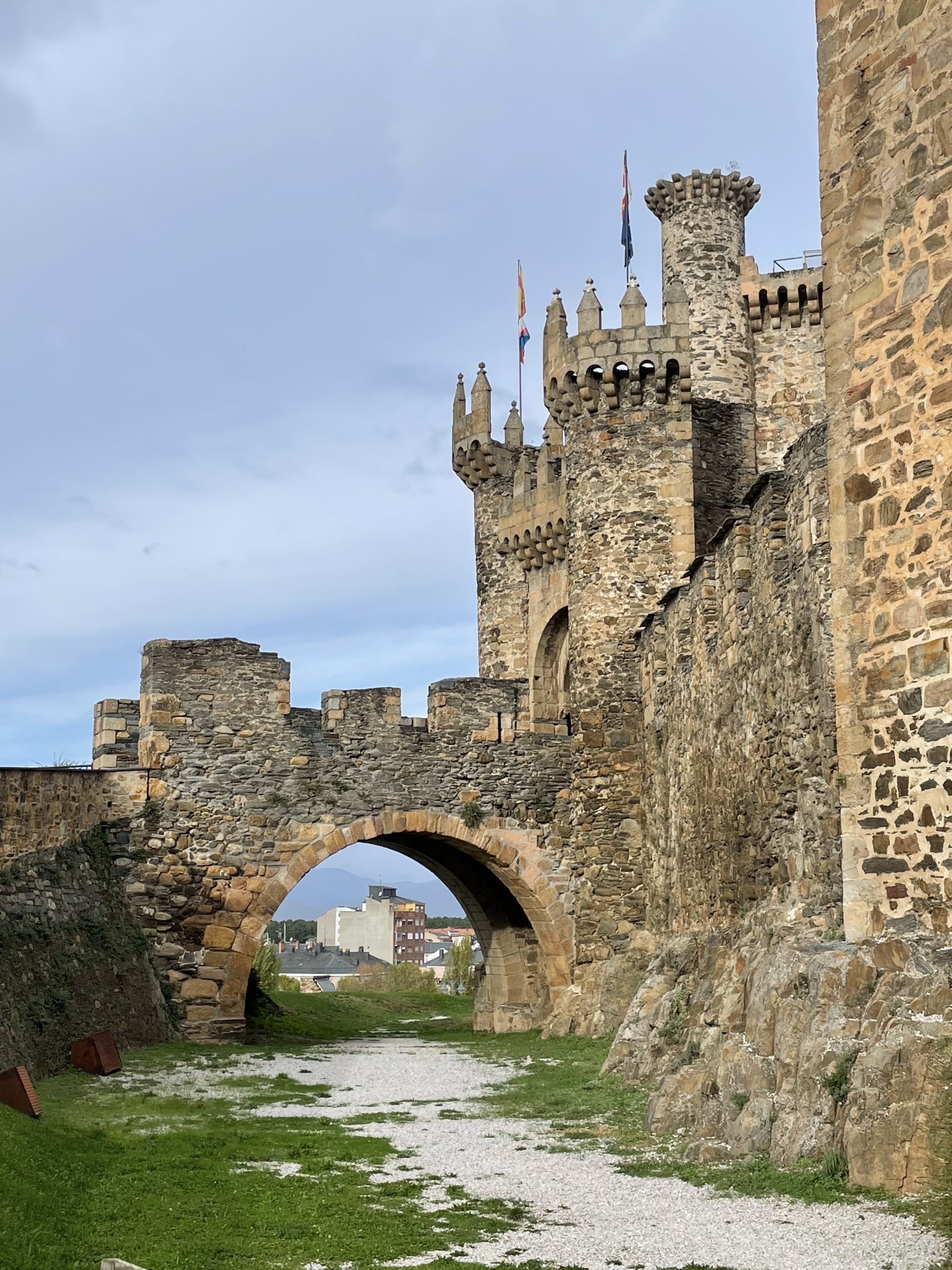
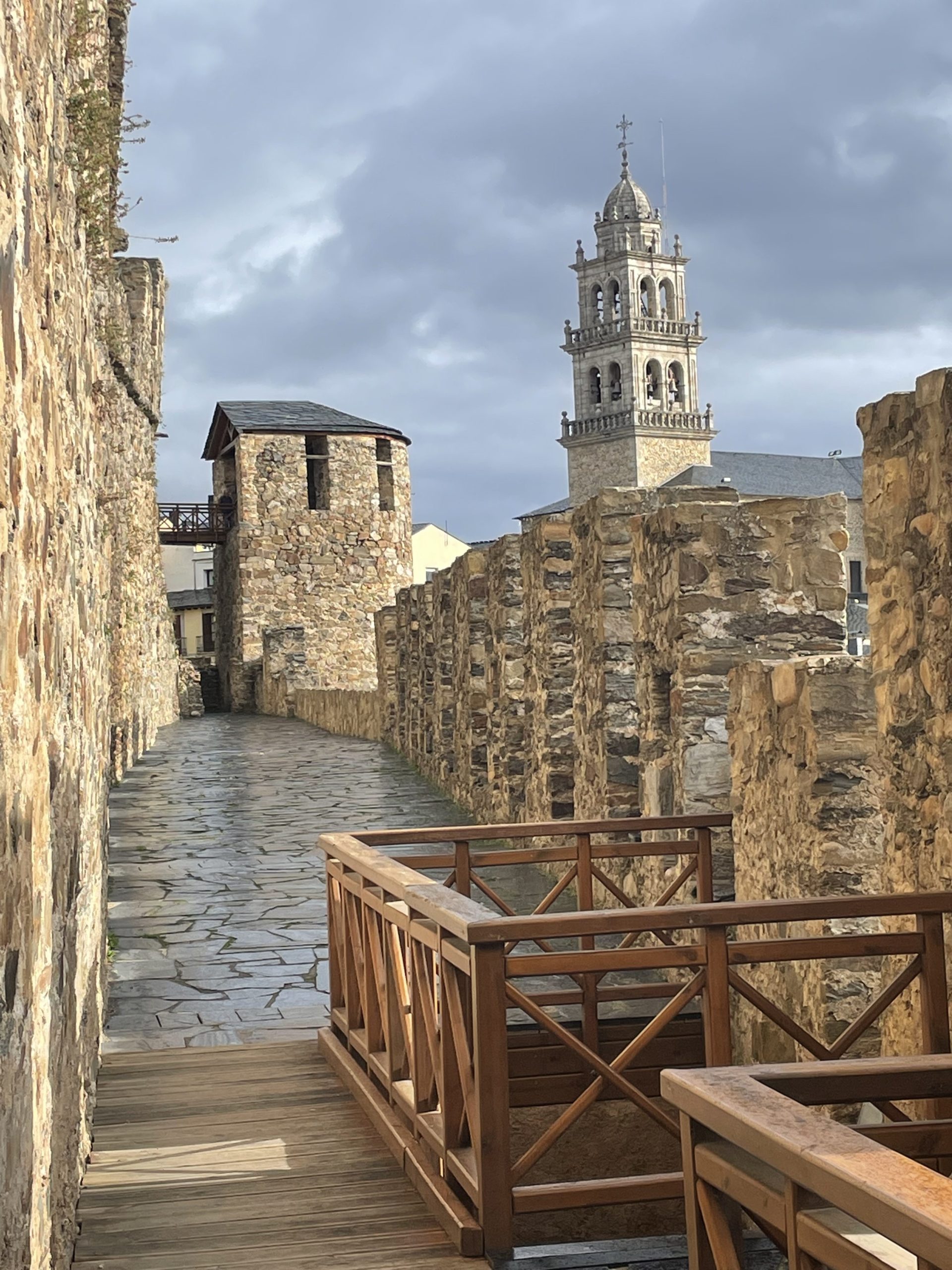
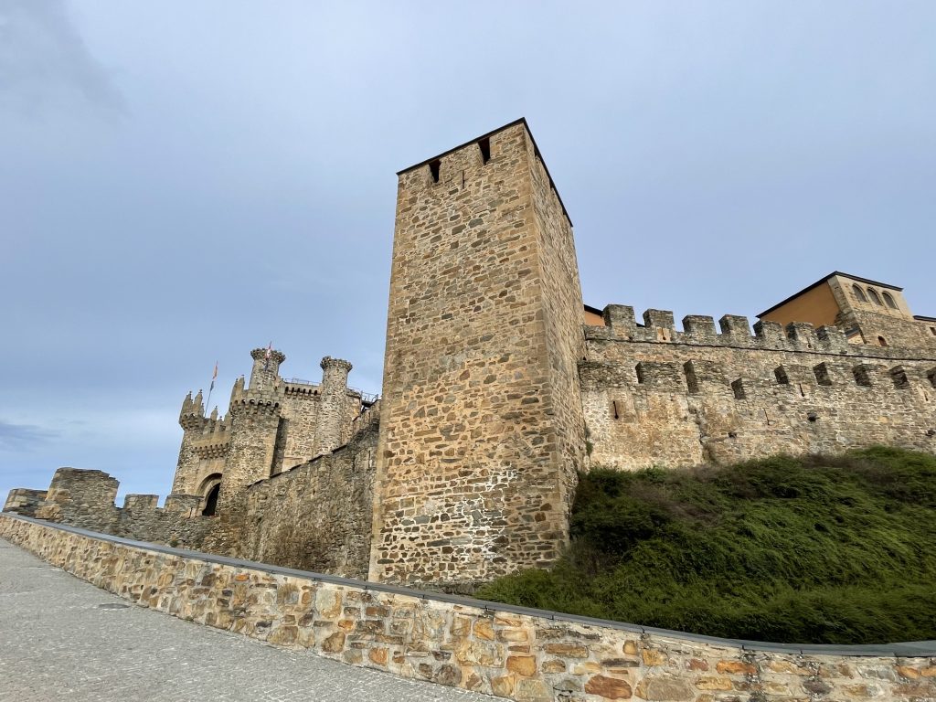
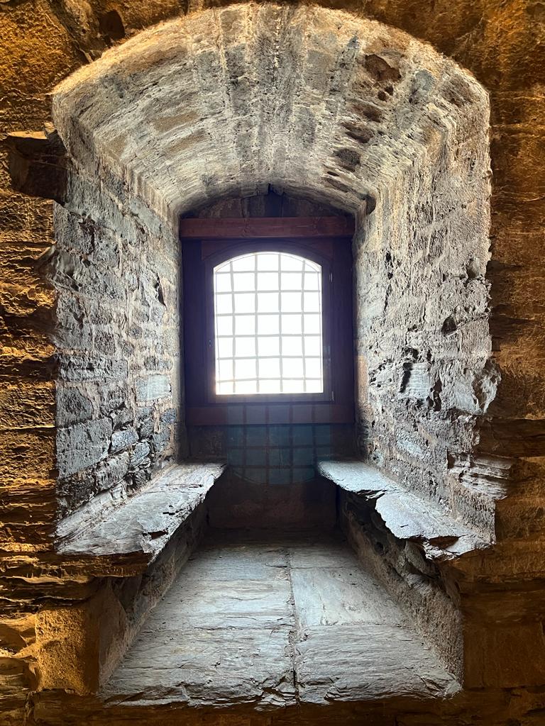
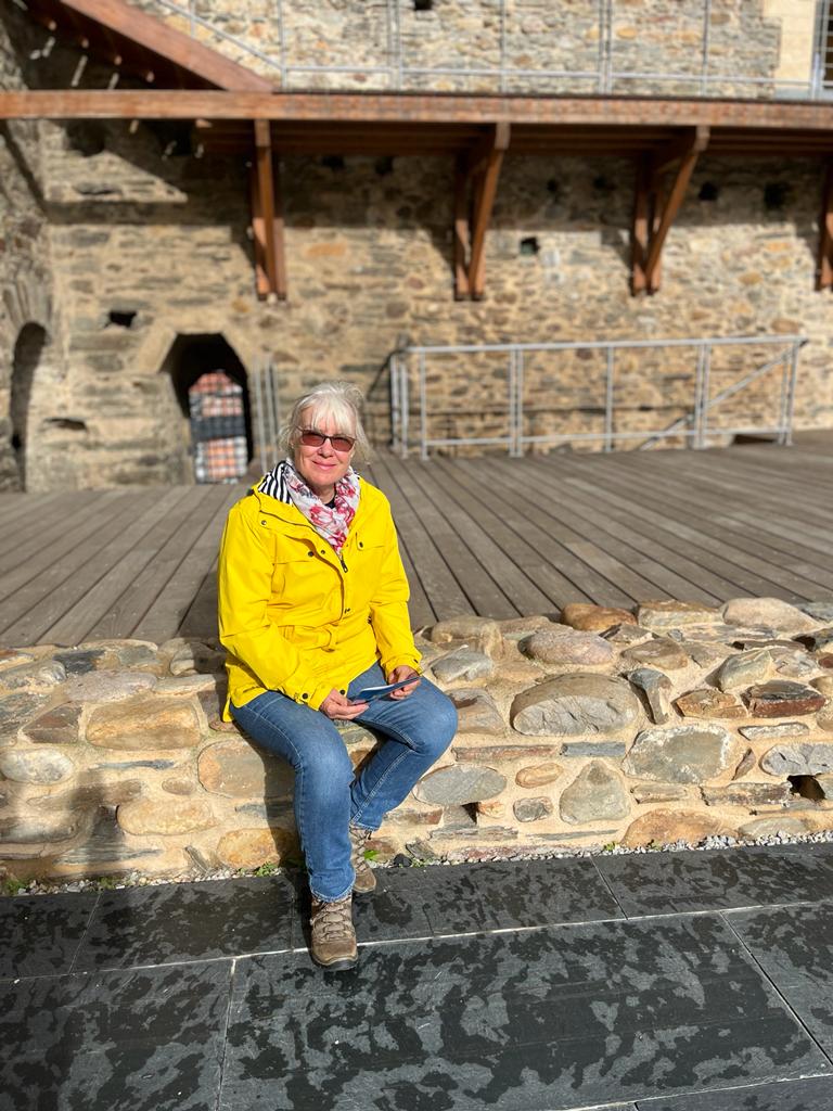
Today’s ride took us through the town of Ponferrada with it’s prominent castle, once occupied by the Knights Templar to protect the pilgrims on this part of the Camino.
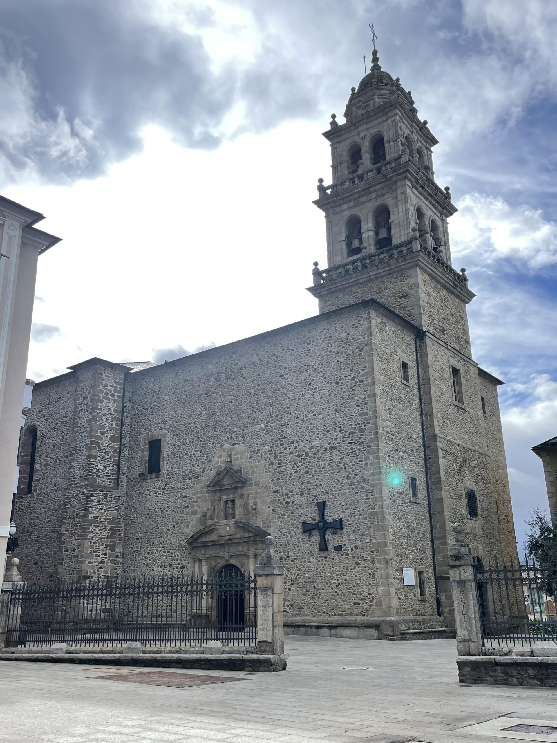
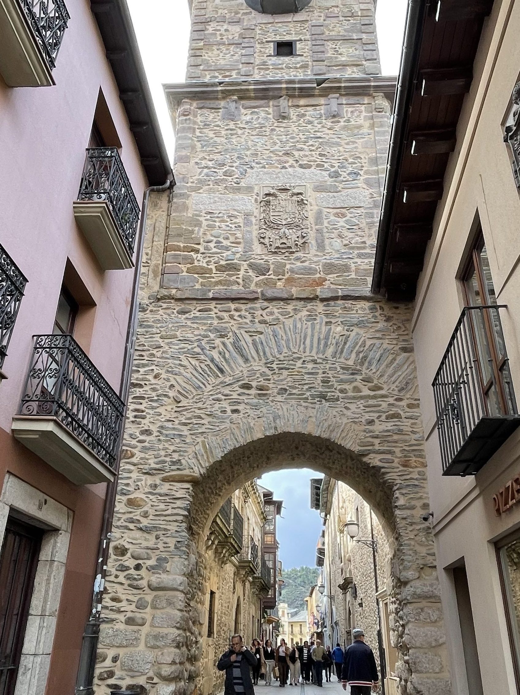
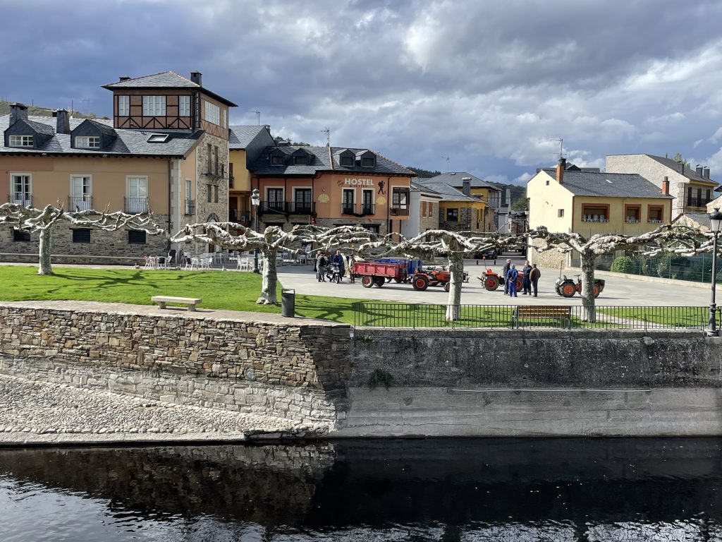
Ponferrada – literally Iron Bridge – spreads out on both sides of the Rio Sil, it has a feeling of being a real town, which is a strange thing to say. Unlike so many of the villages and towns along the Camino, that only exist these days due to the trade from the pilgrims, Ponferrada feels like the Camino economy is insignificant compared to the surrounding farming communities and other industries. The locals far exceeded the pilgrims for a change, we didn’t hear any English spoken. Bliss.
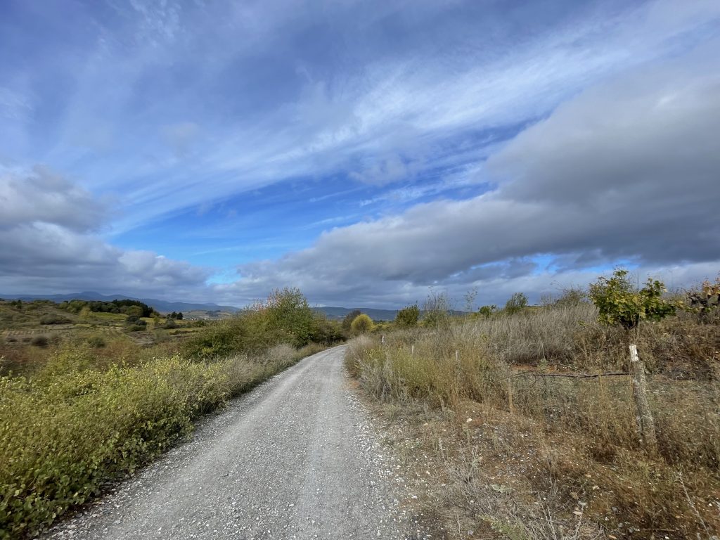
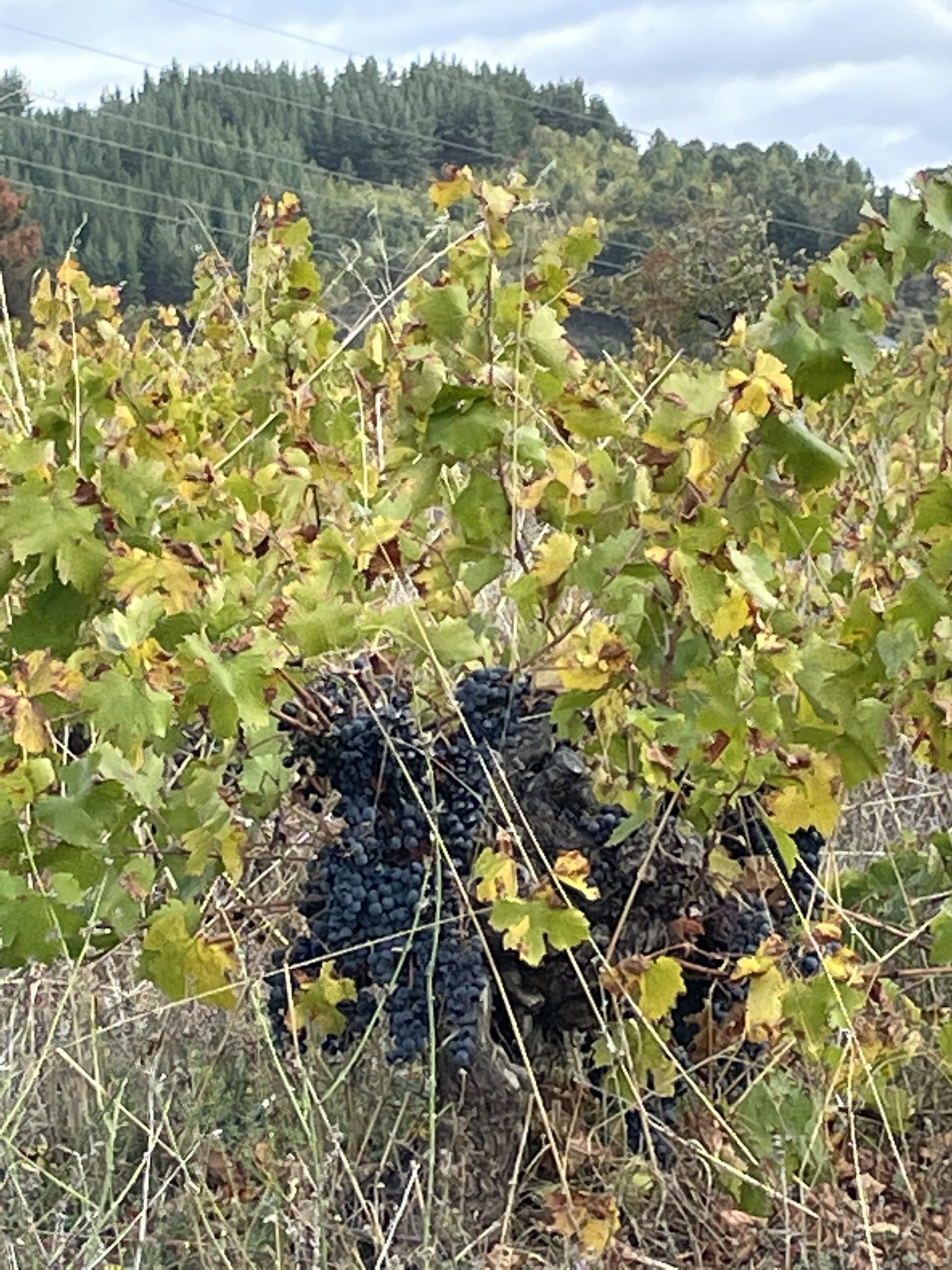
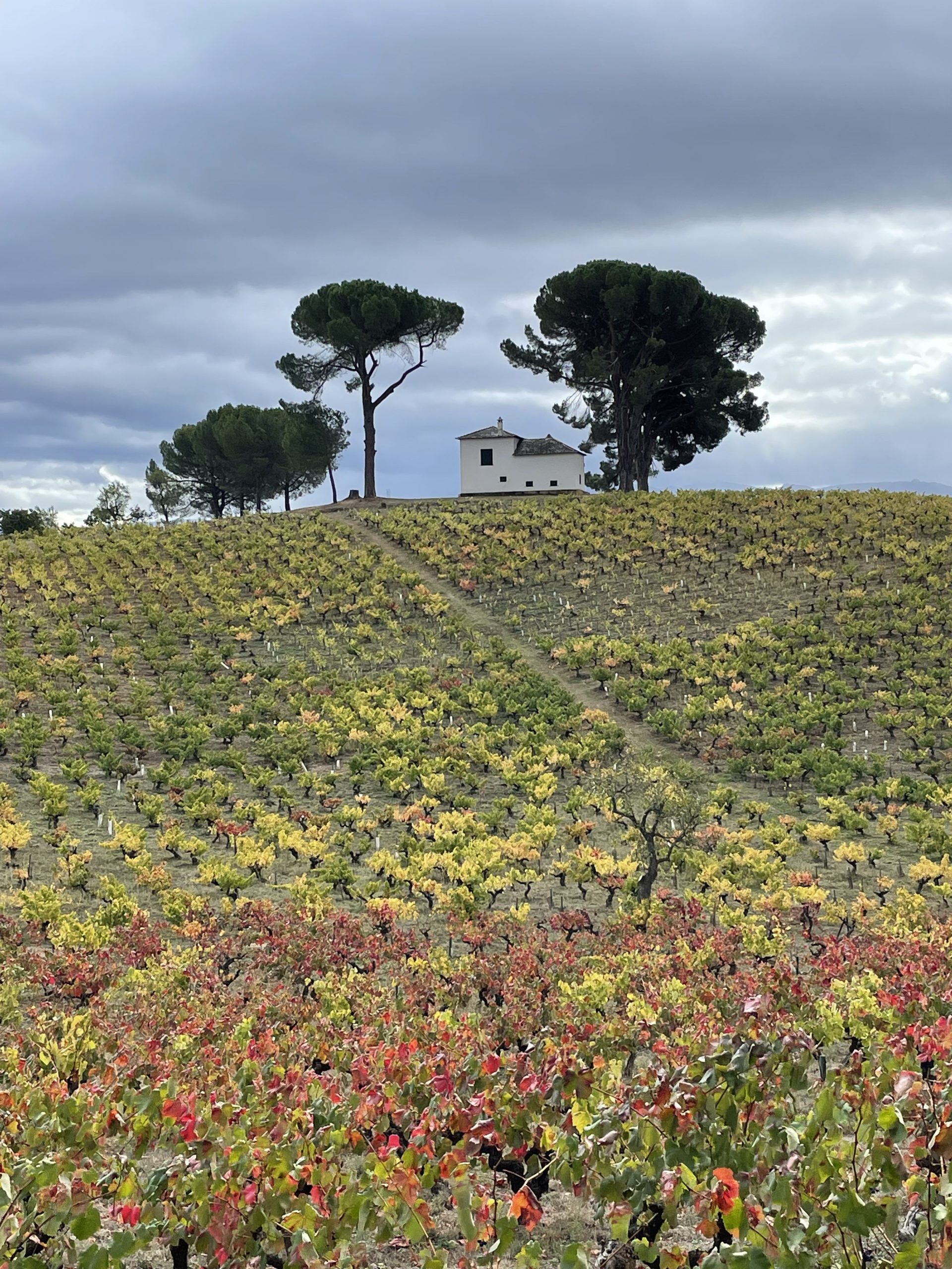
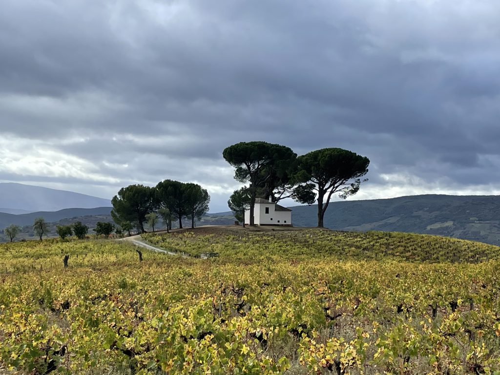
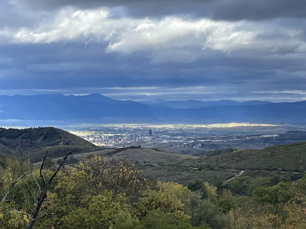
Beyond Ponferrada, the Camino took us through a gently undulating fertile basin called el Bierzo, with many small-holdings growing vegetables, fruit trees, and lots of small, medium and large vineyards of red and white grapes, most of which had already been harvested.
The vineyards were a bit scruffy, not as tidy as the ones in Rioja, and it made us think they were probably organic judging by the weeds that were growing between the vines. We tried some local white wine which was light, fruity and quaffable!
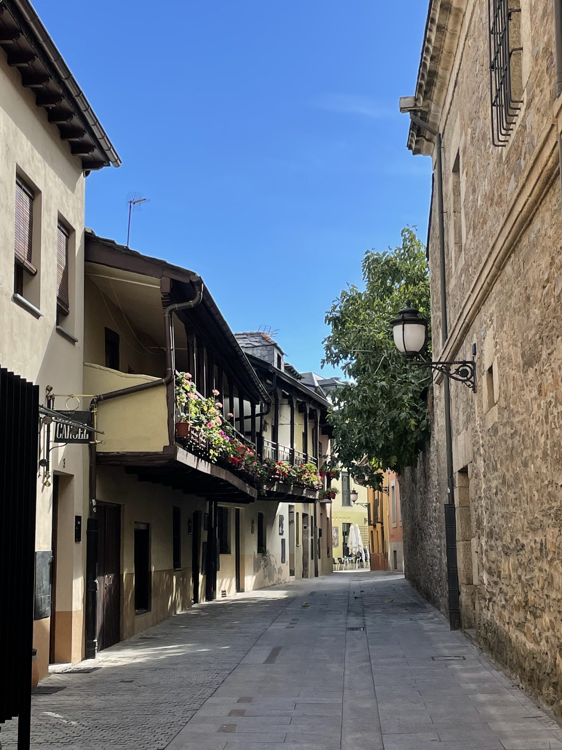
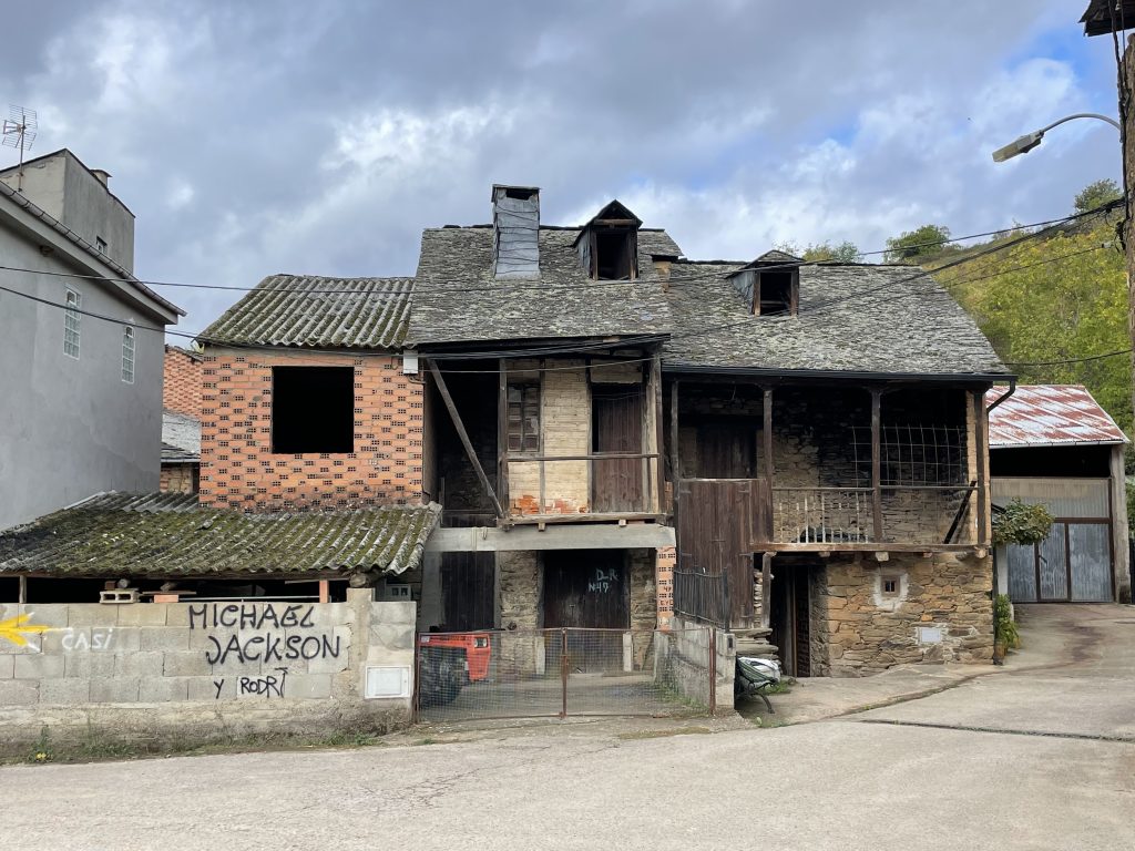
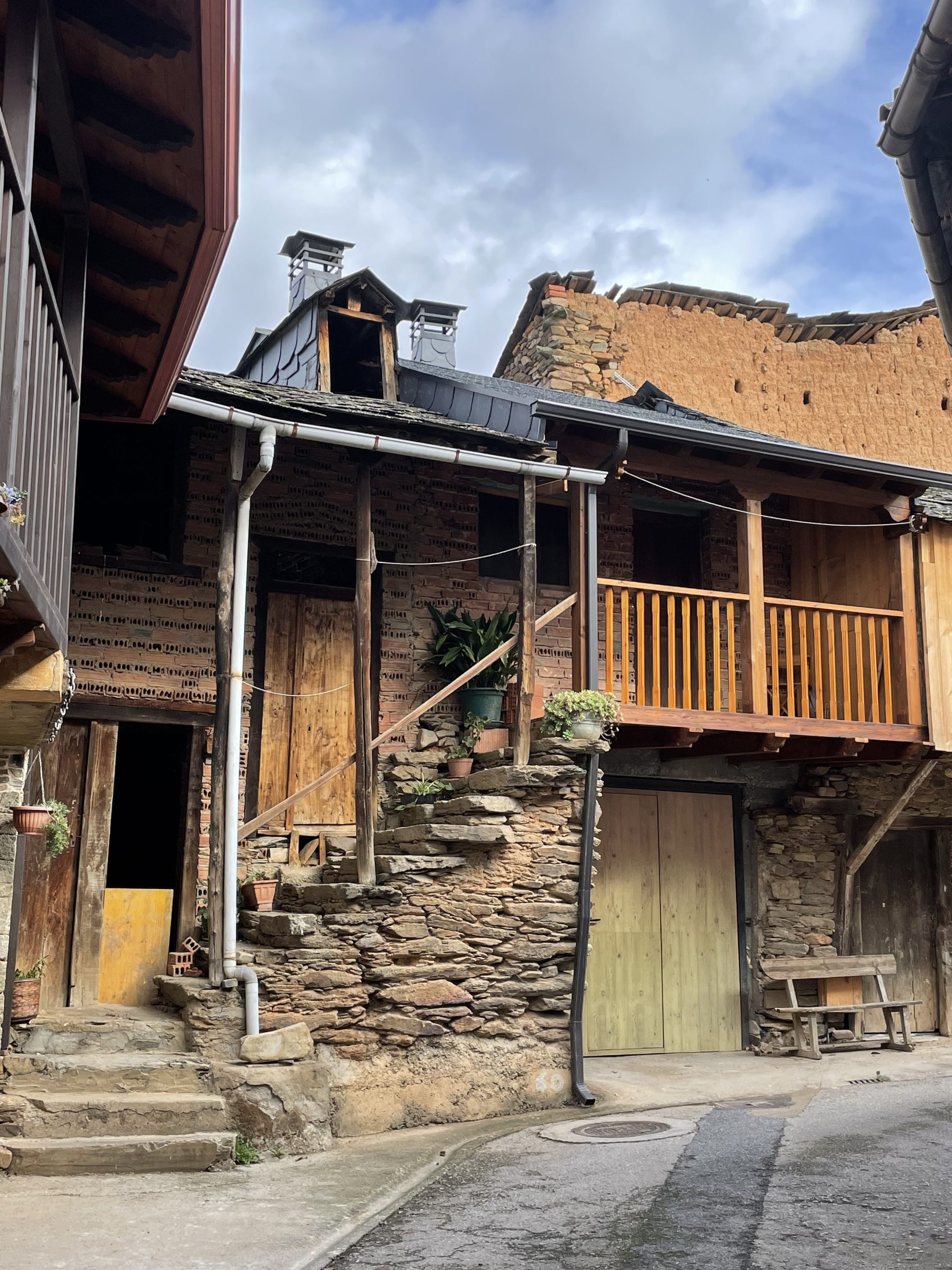
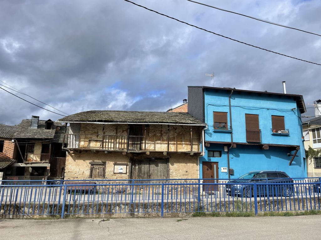
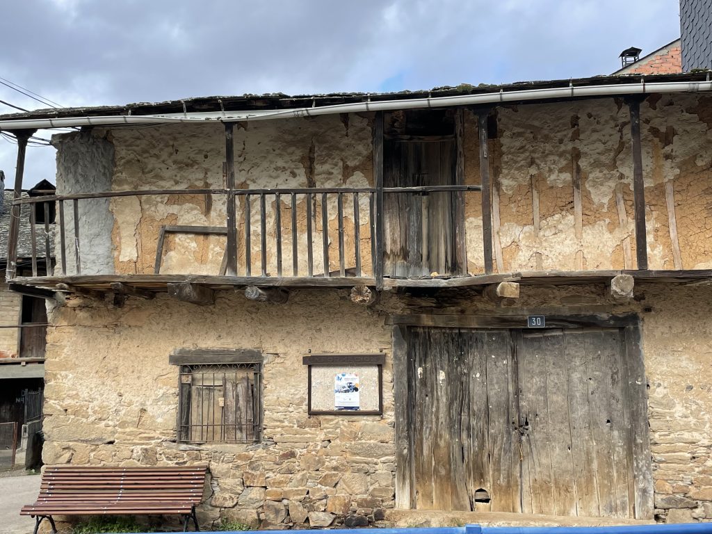
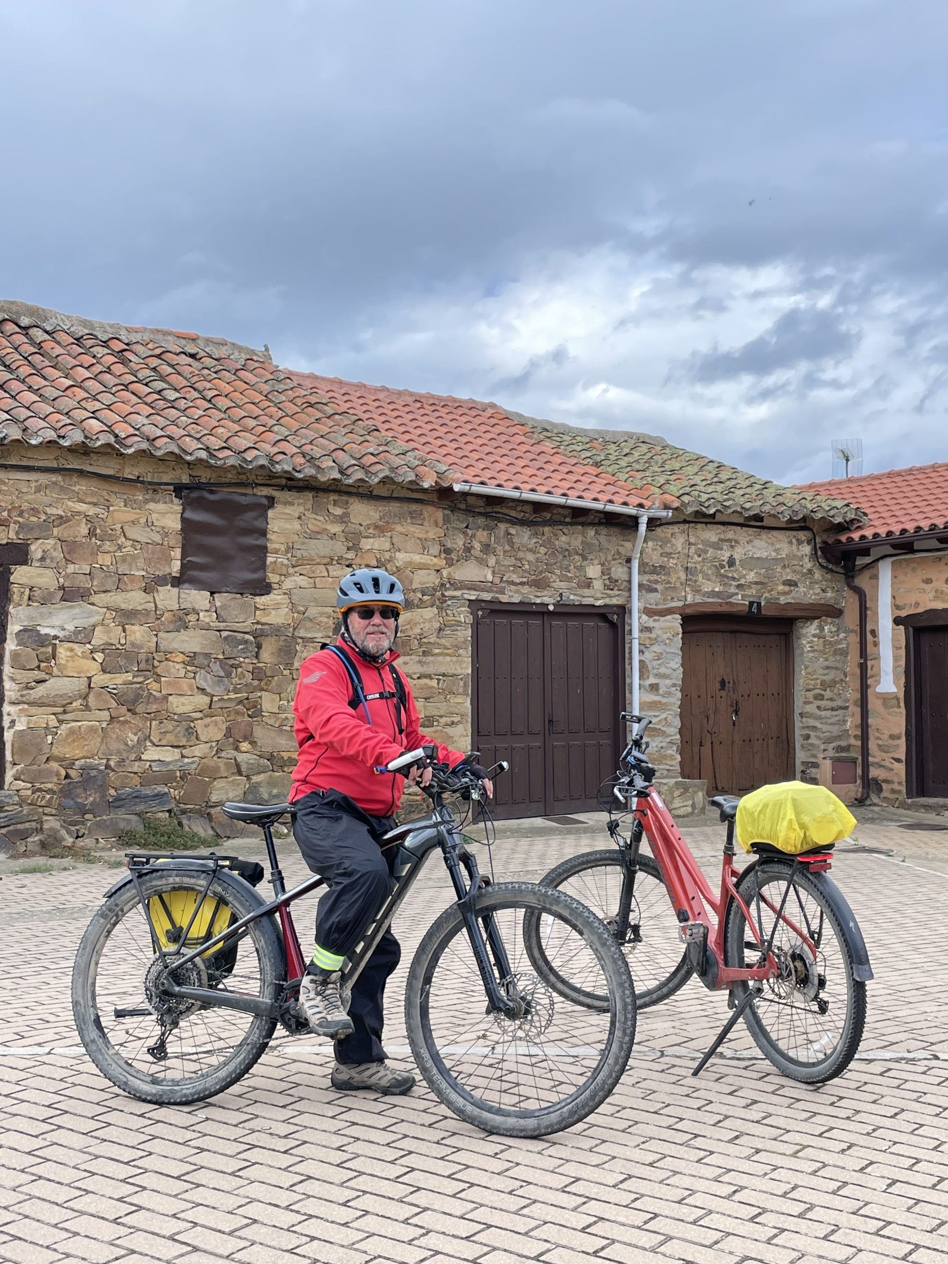
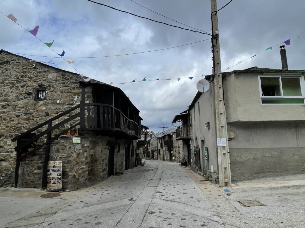
The el Bierzo Camino took us through lovely countryside, gentle rolling hills with a hinterland of big black mountains. The villages along the Way were medieval and authentic, with barns beneath the houses for the animals and living quarters on the first floor with rickety balconies. We saw a woman dressed in black sitting in her doorway doing needlework.
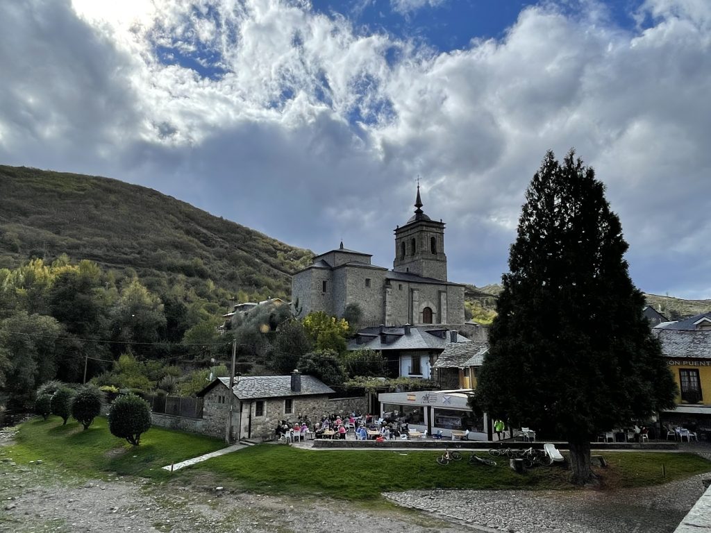
Our favourite village was Valtuille de Arriba, where time has stood still for centuries. In fact el Bierzo was one of our favourite sections of the Camino.
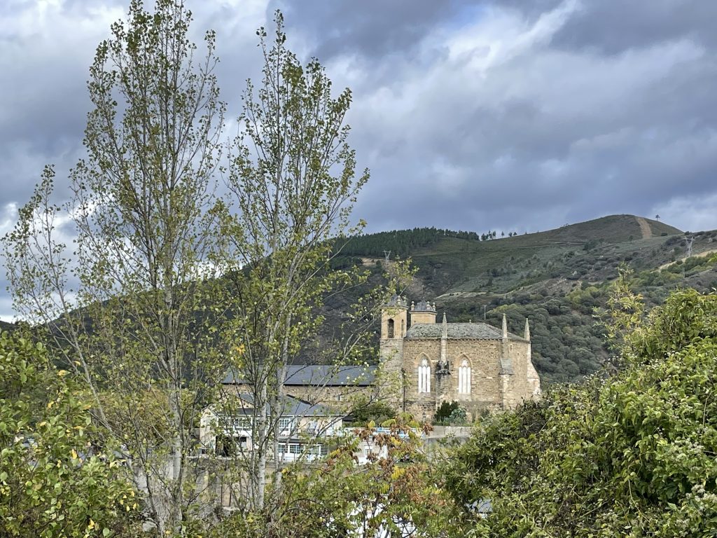
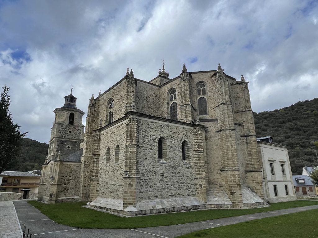
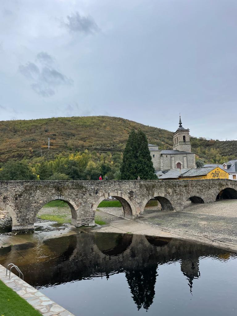
Our destination, the town of Villafranca del Bierzo was bigger than we had expected and panned out along the eastern bank of the Rio Burbia for quite some distance. The maze of narrow streets were on the steep hillside and lead down to the Aire where we are parking our camper for the night, right next to the river.









ASTORGA TO PONFERRADA
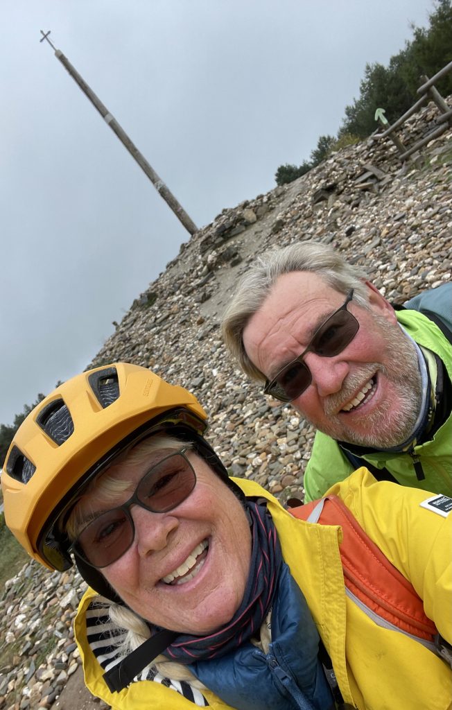
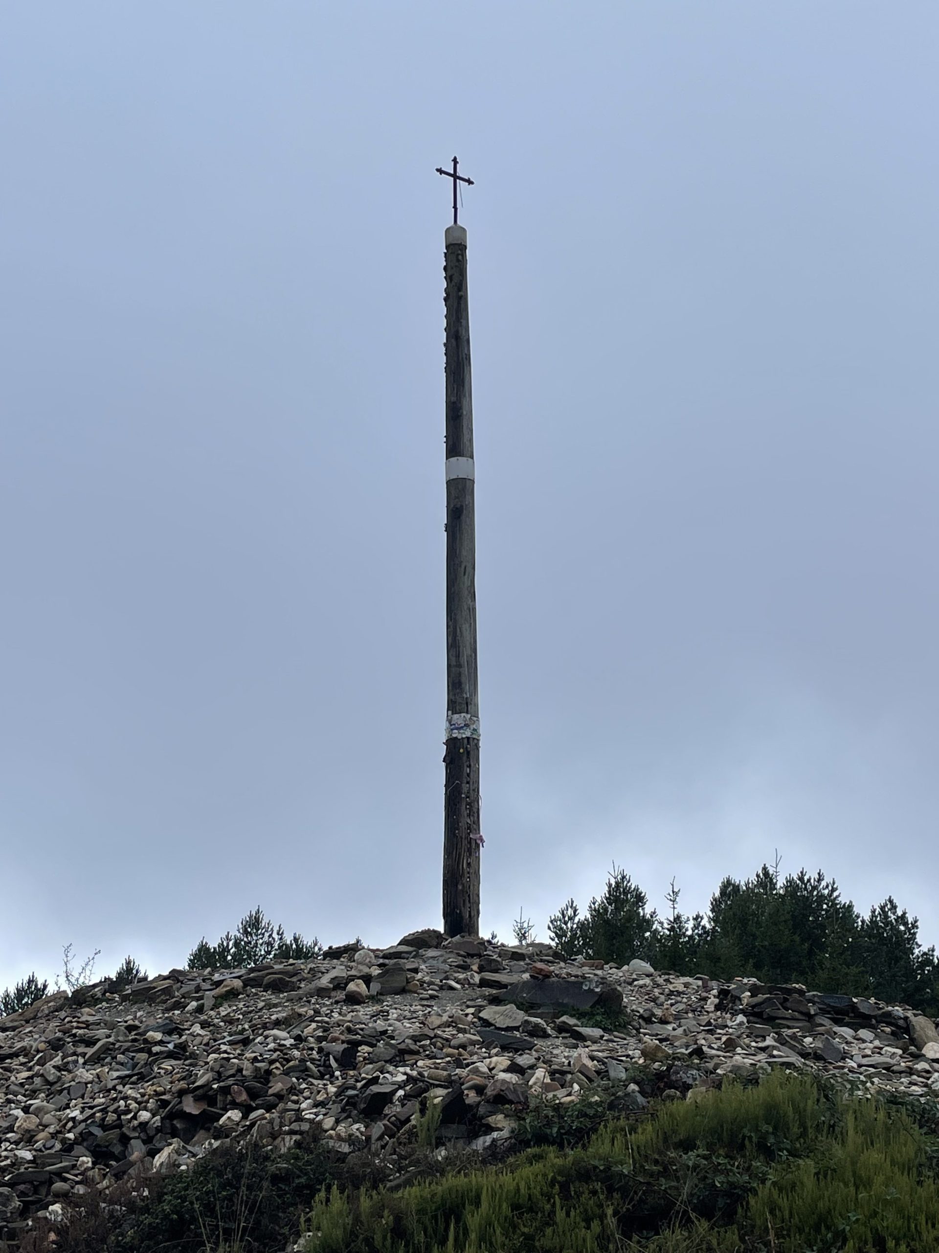
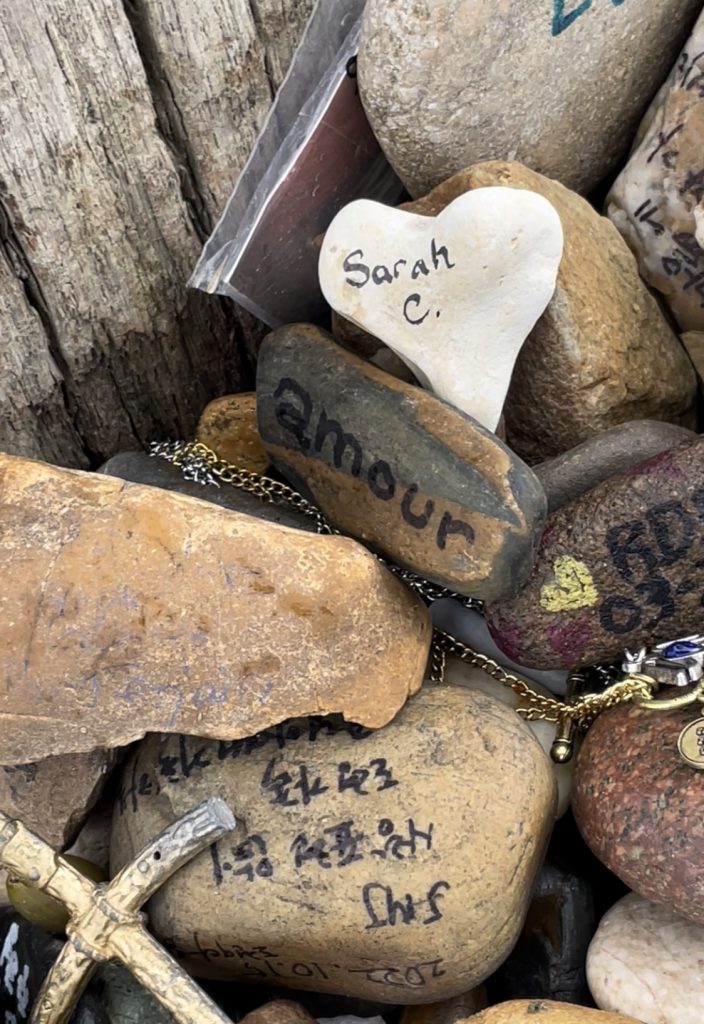
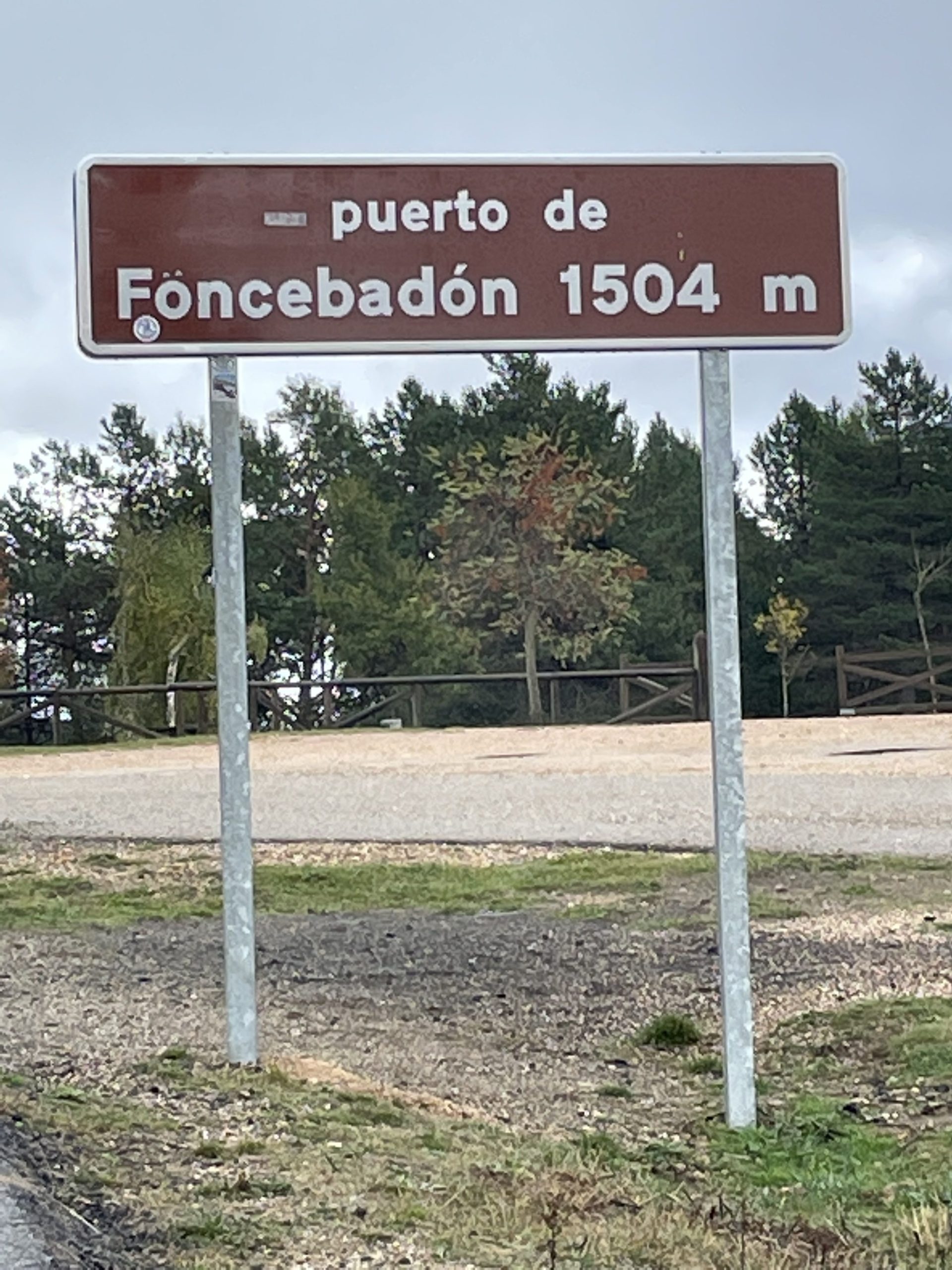
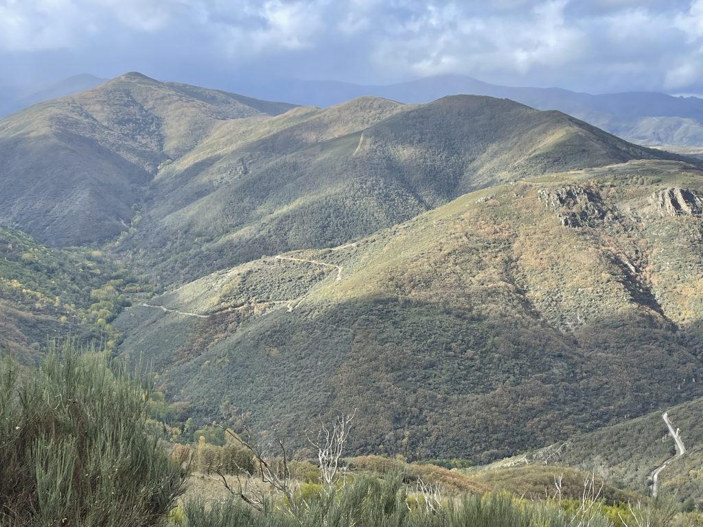
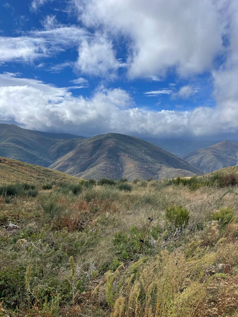
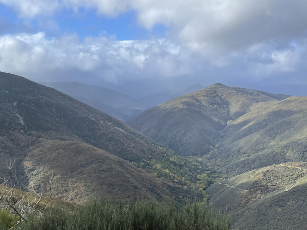
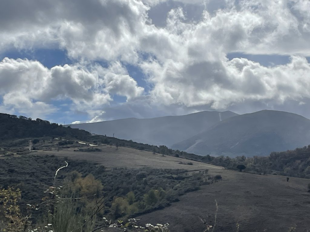
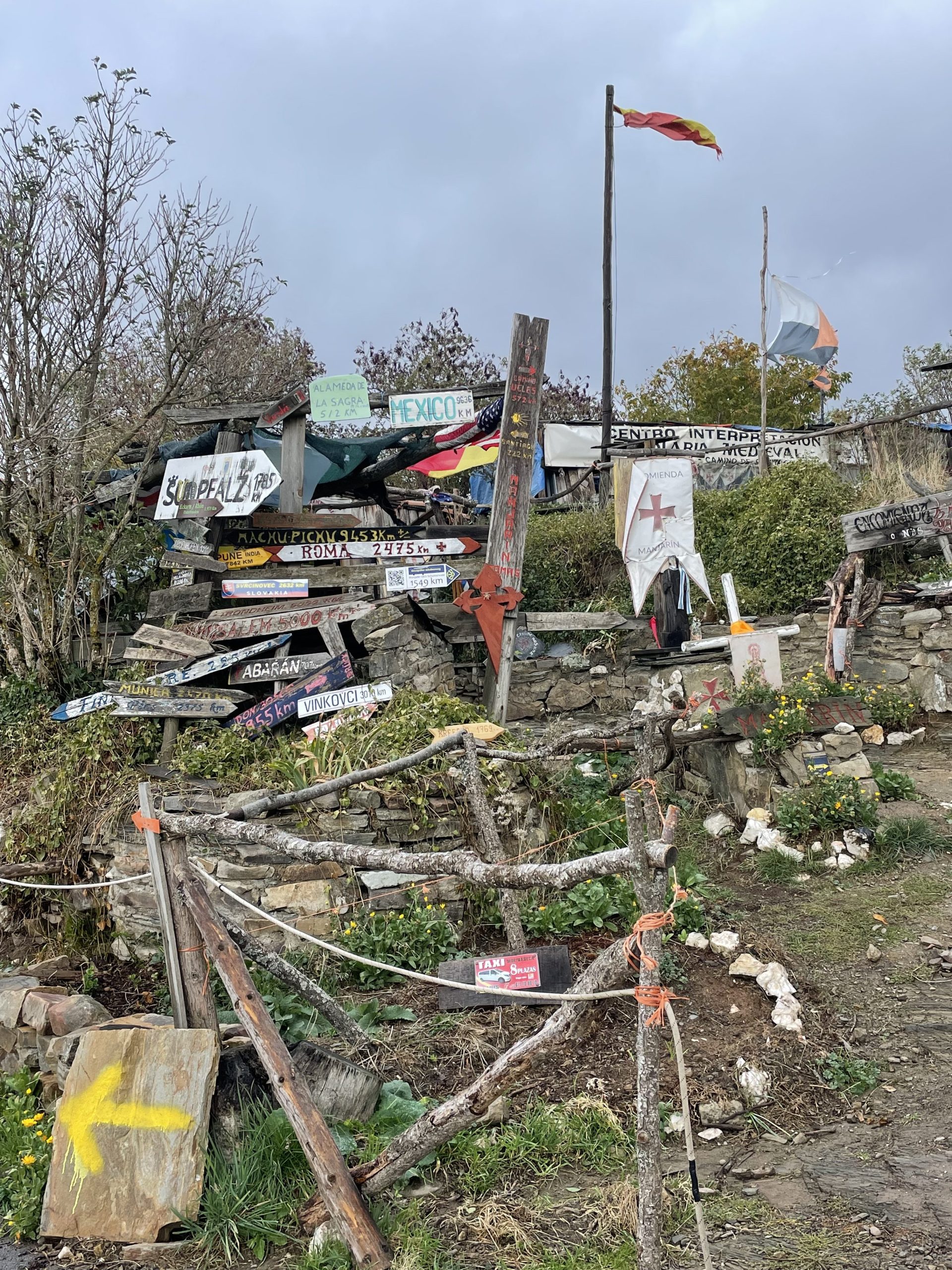
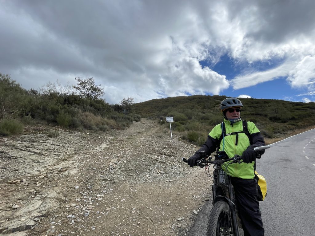
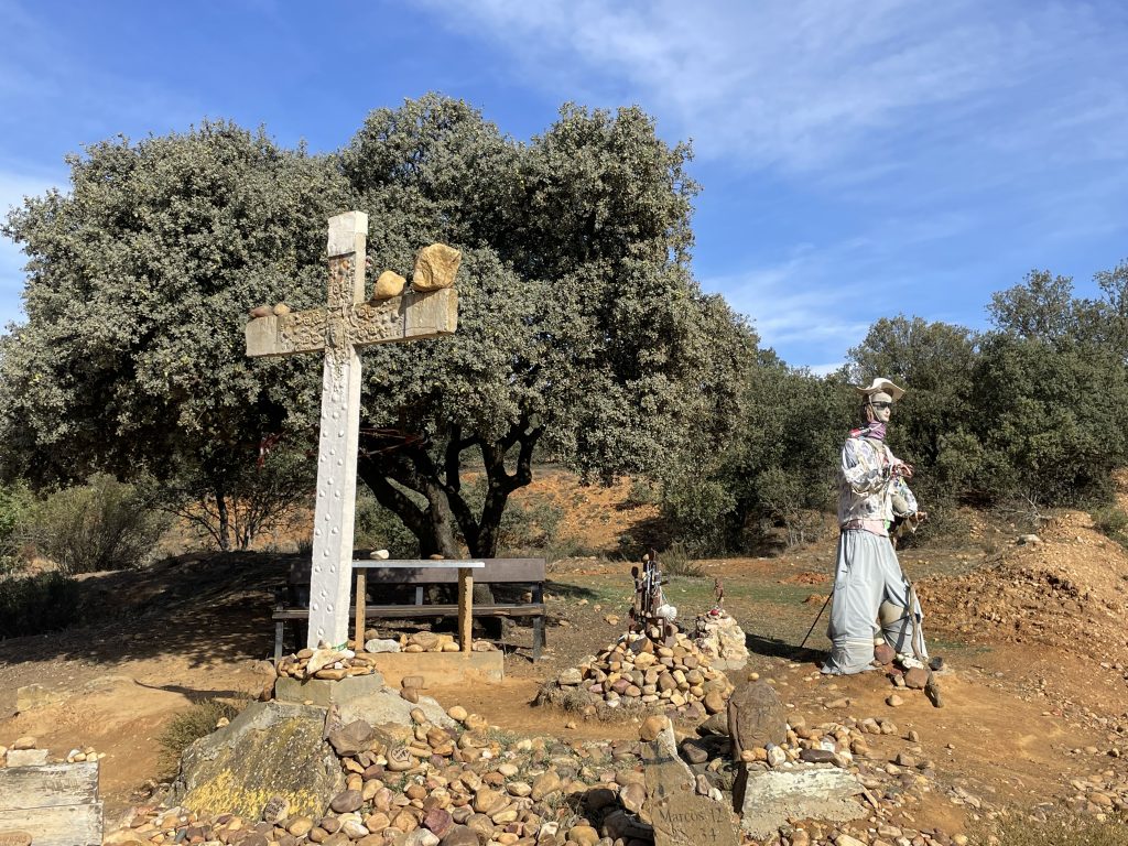
Lovely Astorga sits at 860 meters, from there we cycled up to the highest point of the whole Camino, 1,520 meters, to the Cruz de Ferro, Iron Cross, where peregrinos leave stones and other momentos that they have brought from home. It was windy and VERY cold.
There are many reasons why people choose to walk or cycle the Camino, one of which is in memory of a loved one. There are many messages on the stones around the cross that people leave in their memories.
Pilgrims also leave stones with messages of hope and love, which is what Mike did for Sarah and her beautiful family.

LEON TO ASTORGA
The outskirts of Leon were grim -suburban sprawl and high rise monotony amid dual carriageways and lots of traffic.
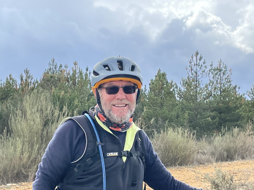
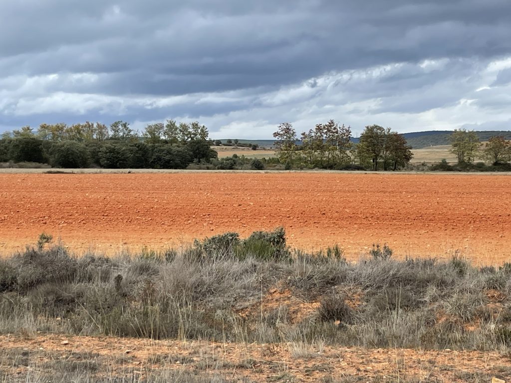
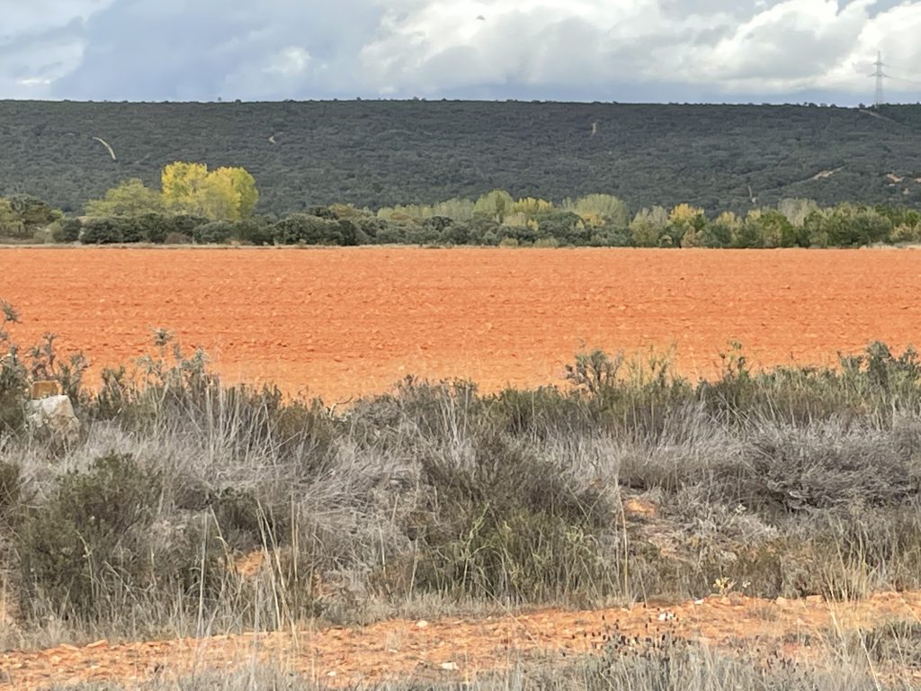
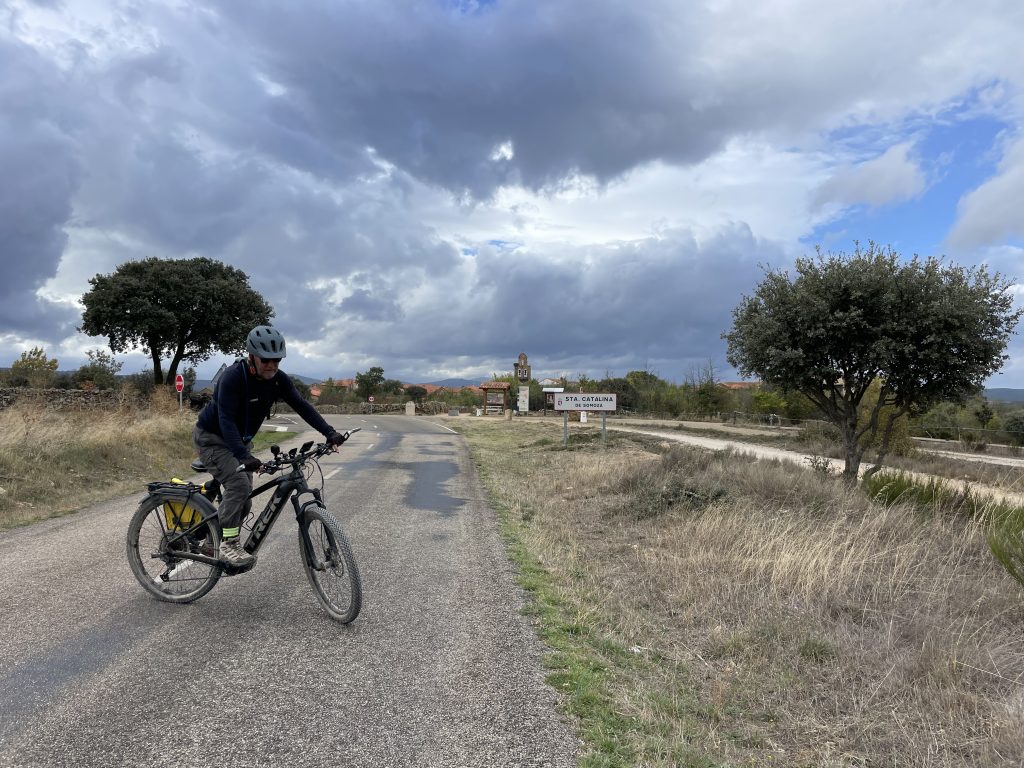
Eventually the Camino left the edge of the main road to Astorga and filtered into the countryside along red earth tracks.
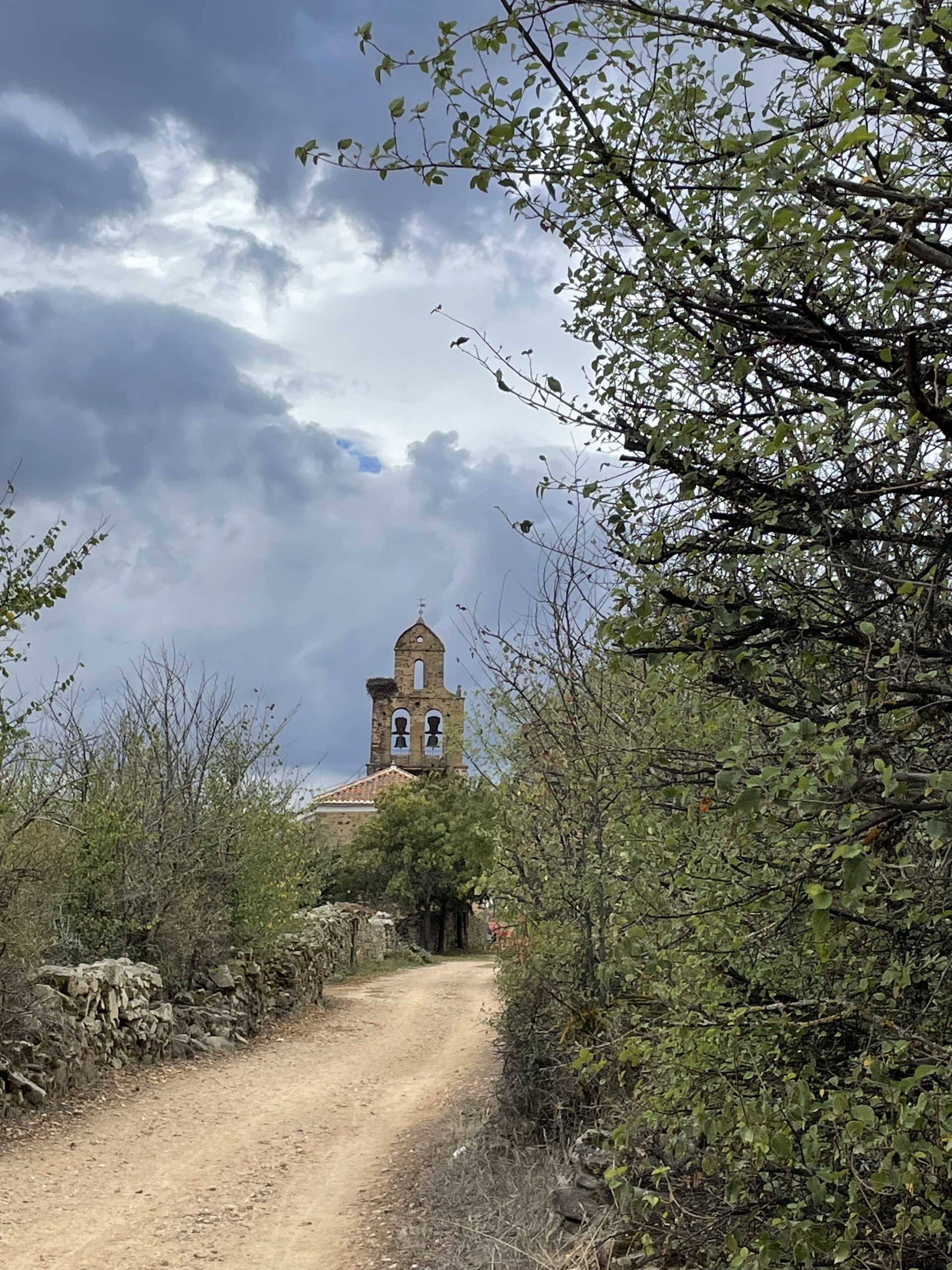
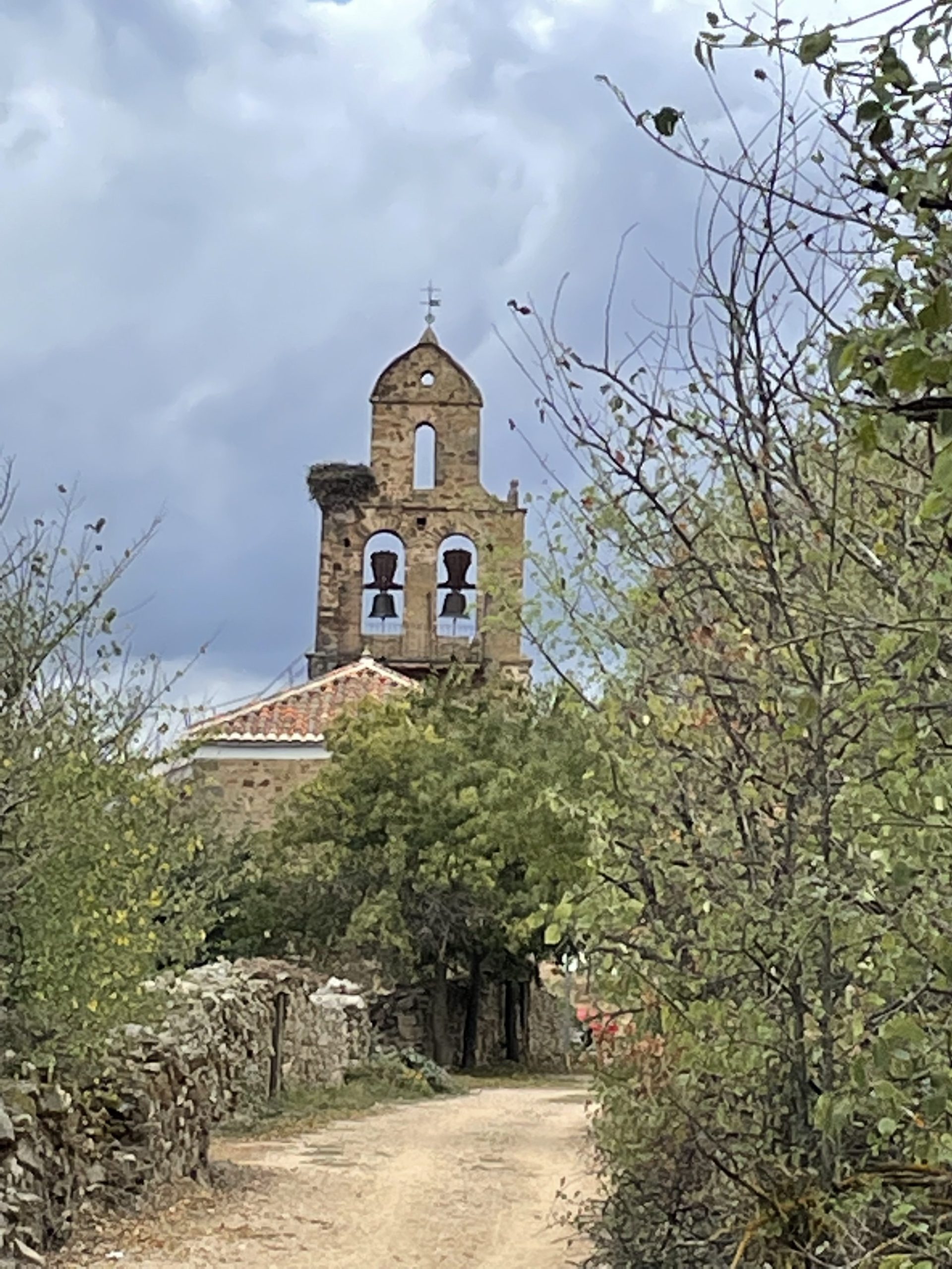
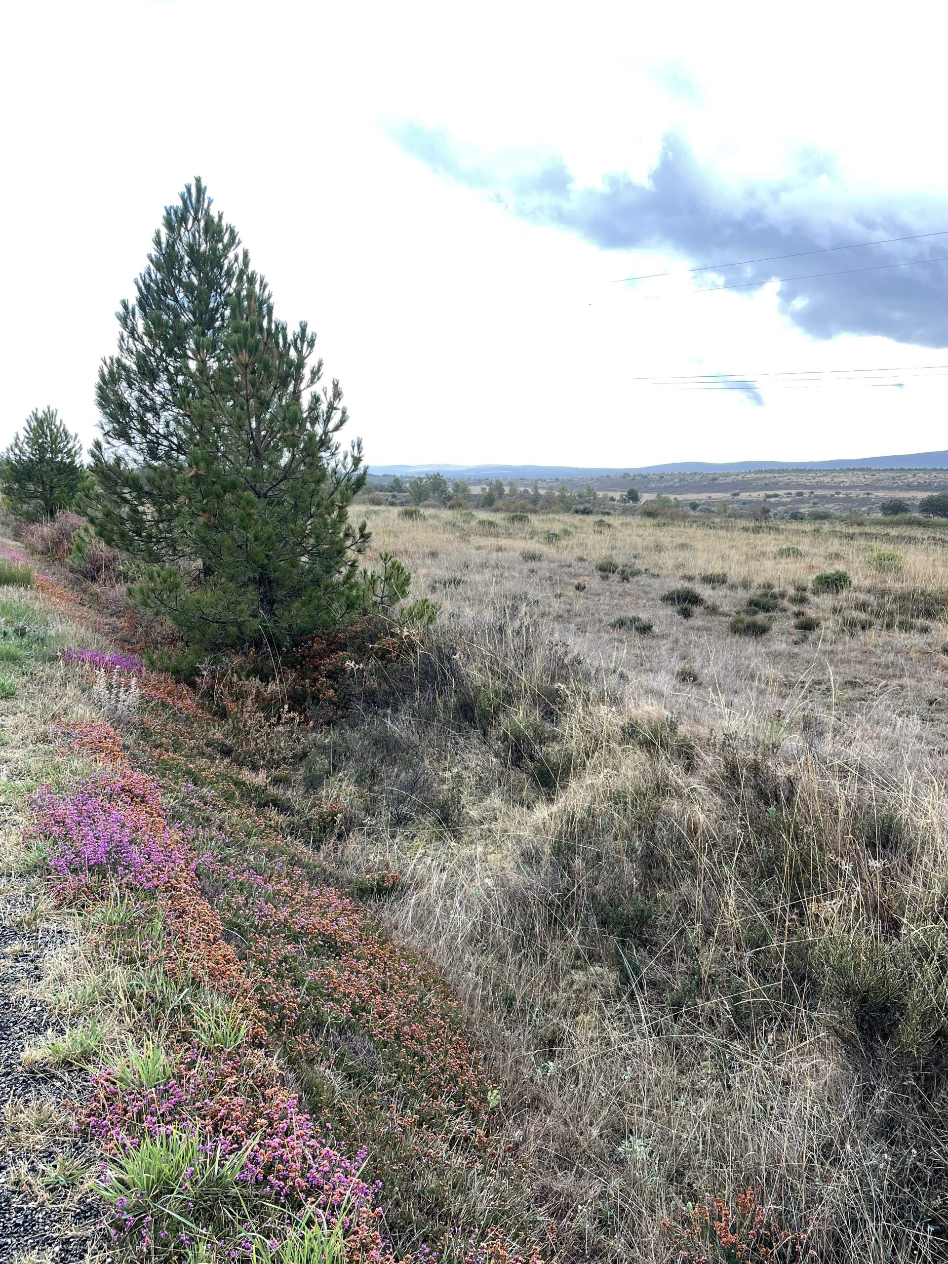
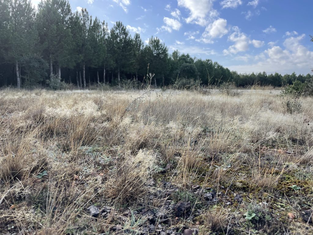
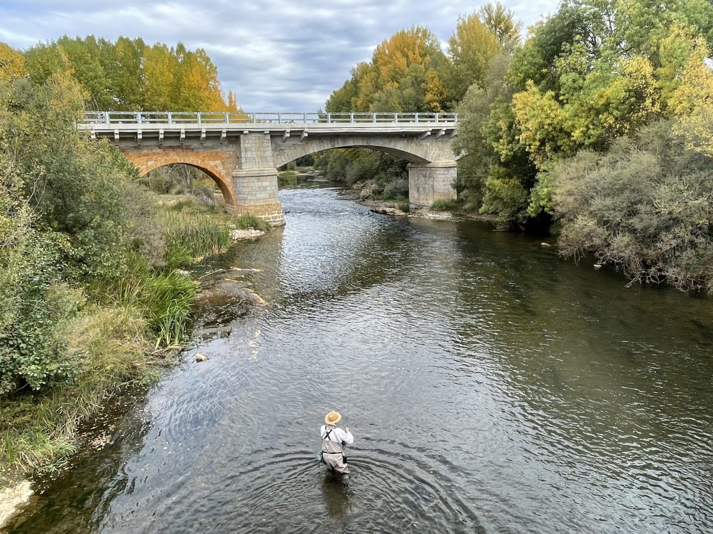
The natural vegetation of this most westerly part of the meseta was pine forests and scrubland with small cultivated fields of vegetables and stubble. We saw livestock outside for the first time, cattle in fields and sheep being herded through towns and over ancient bridges.
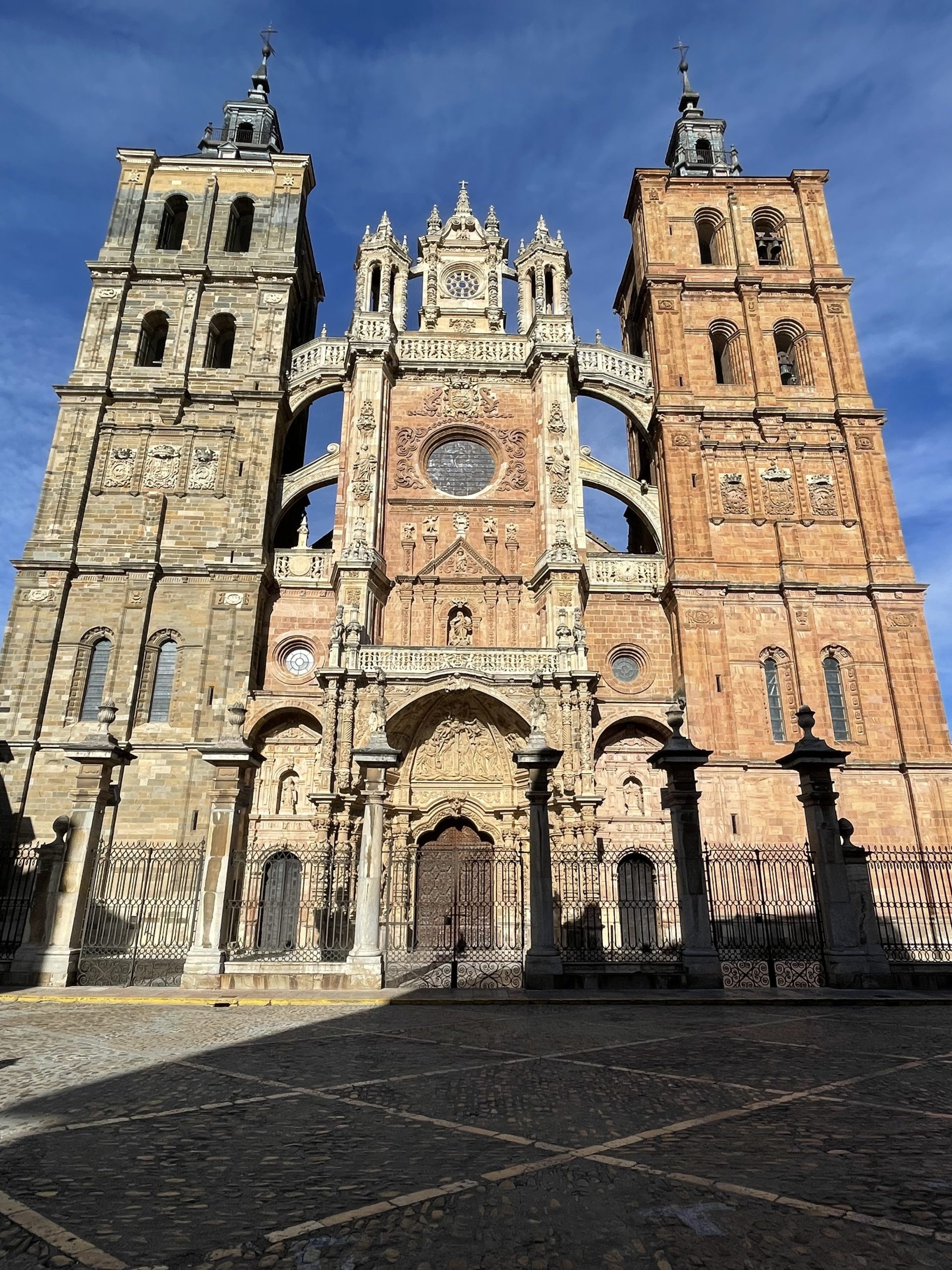
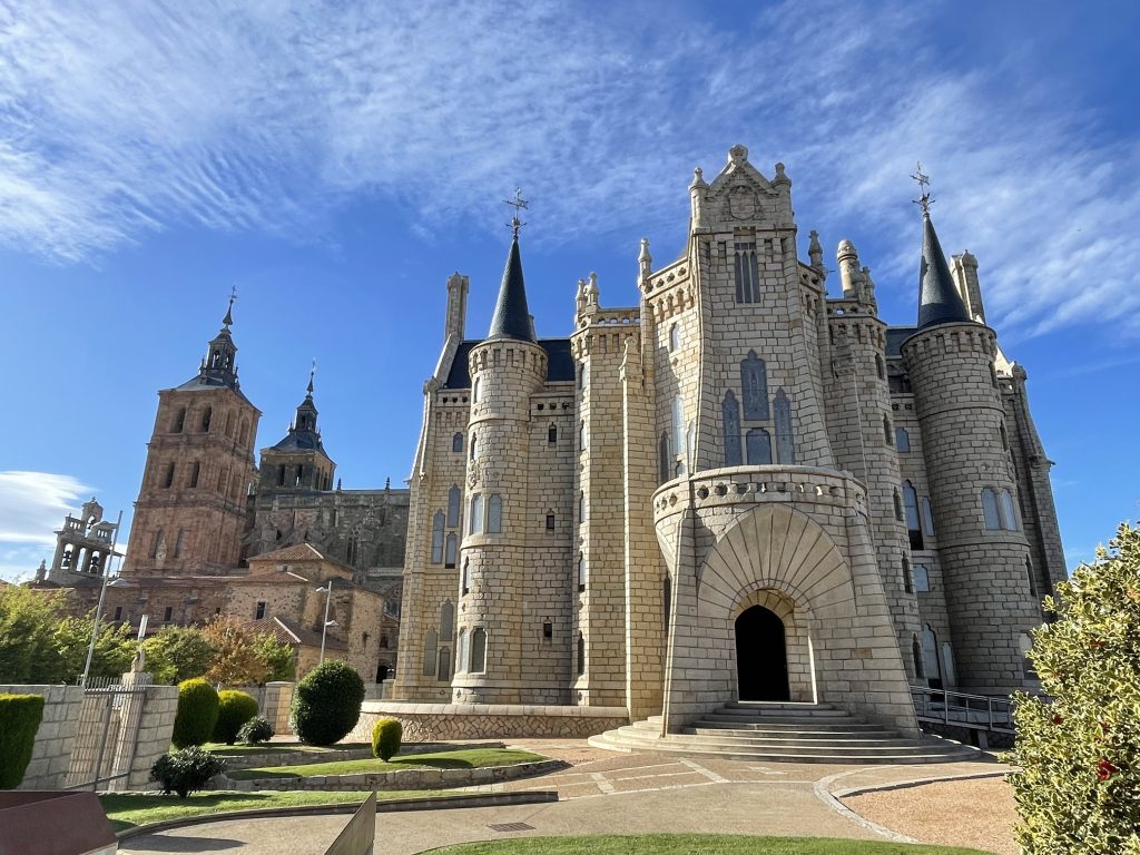
The descent into Astorga was wonderful, the twin towers of the cathedral pierced the sky leaving you oblivious to the rest of the town below.
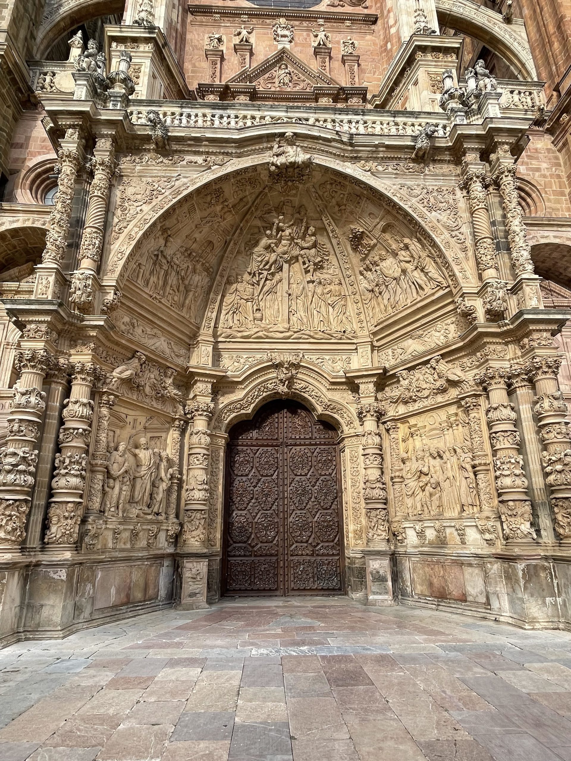
On closer inspection, the main facade of the cathedral was sandstone that was intricately sculptured and glowed in the sunlight.
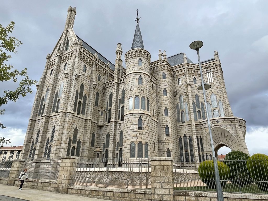
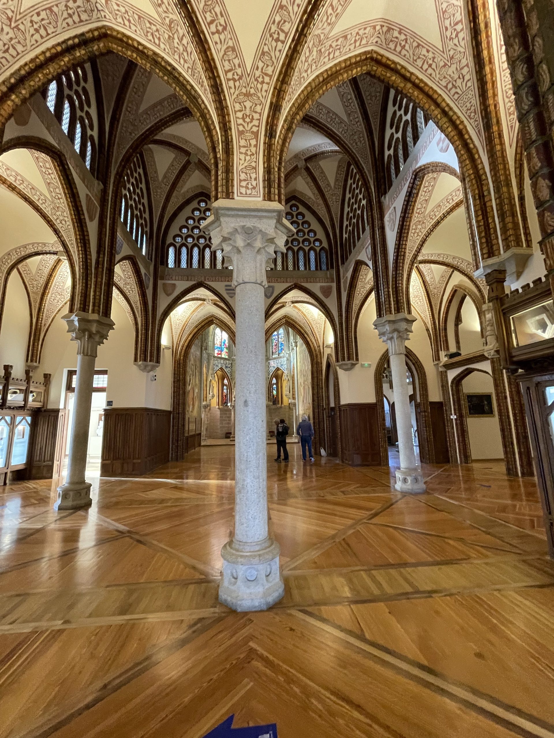
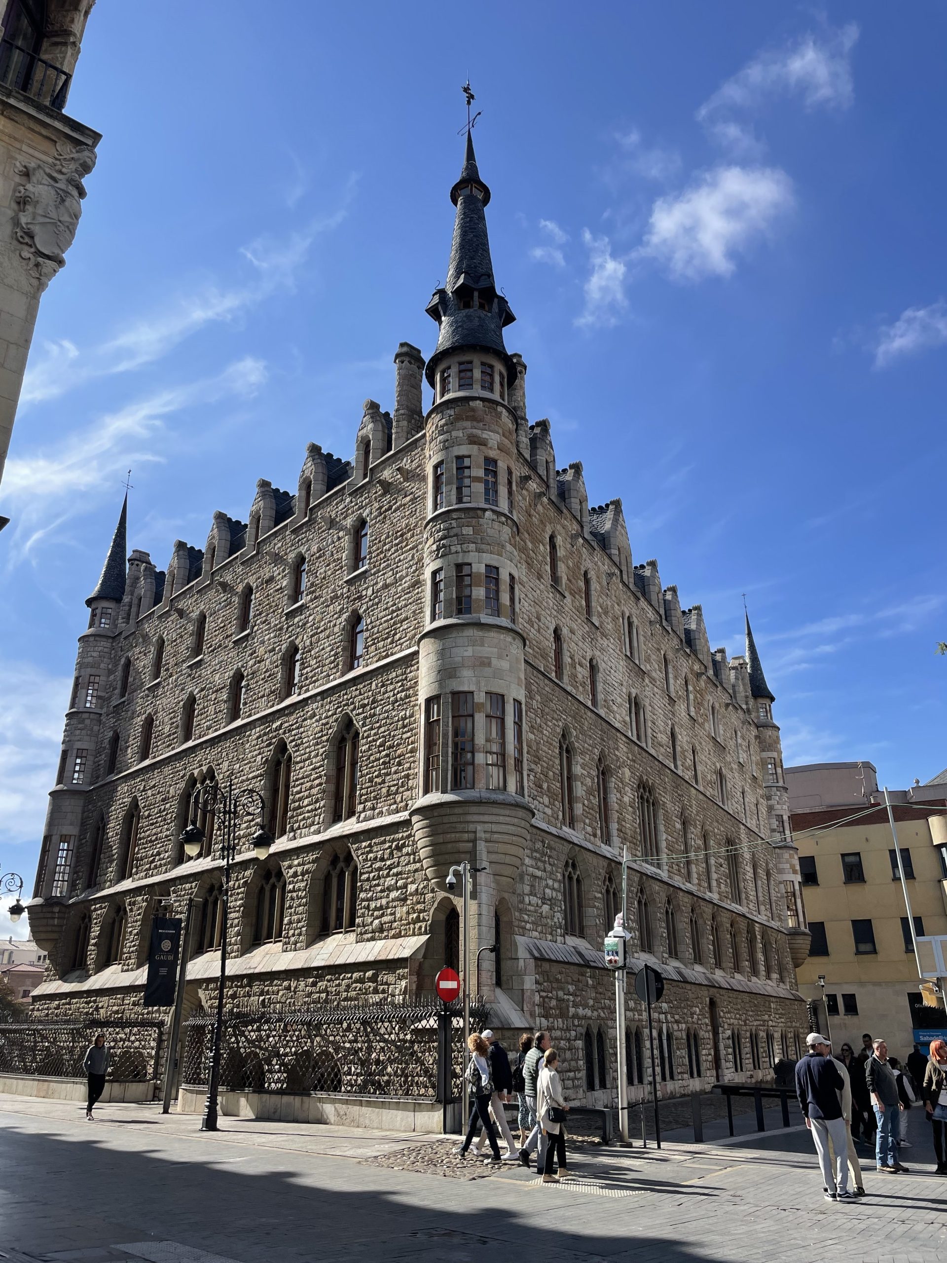
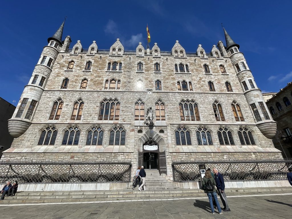
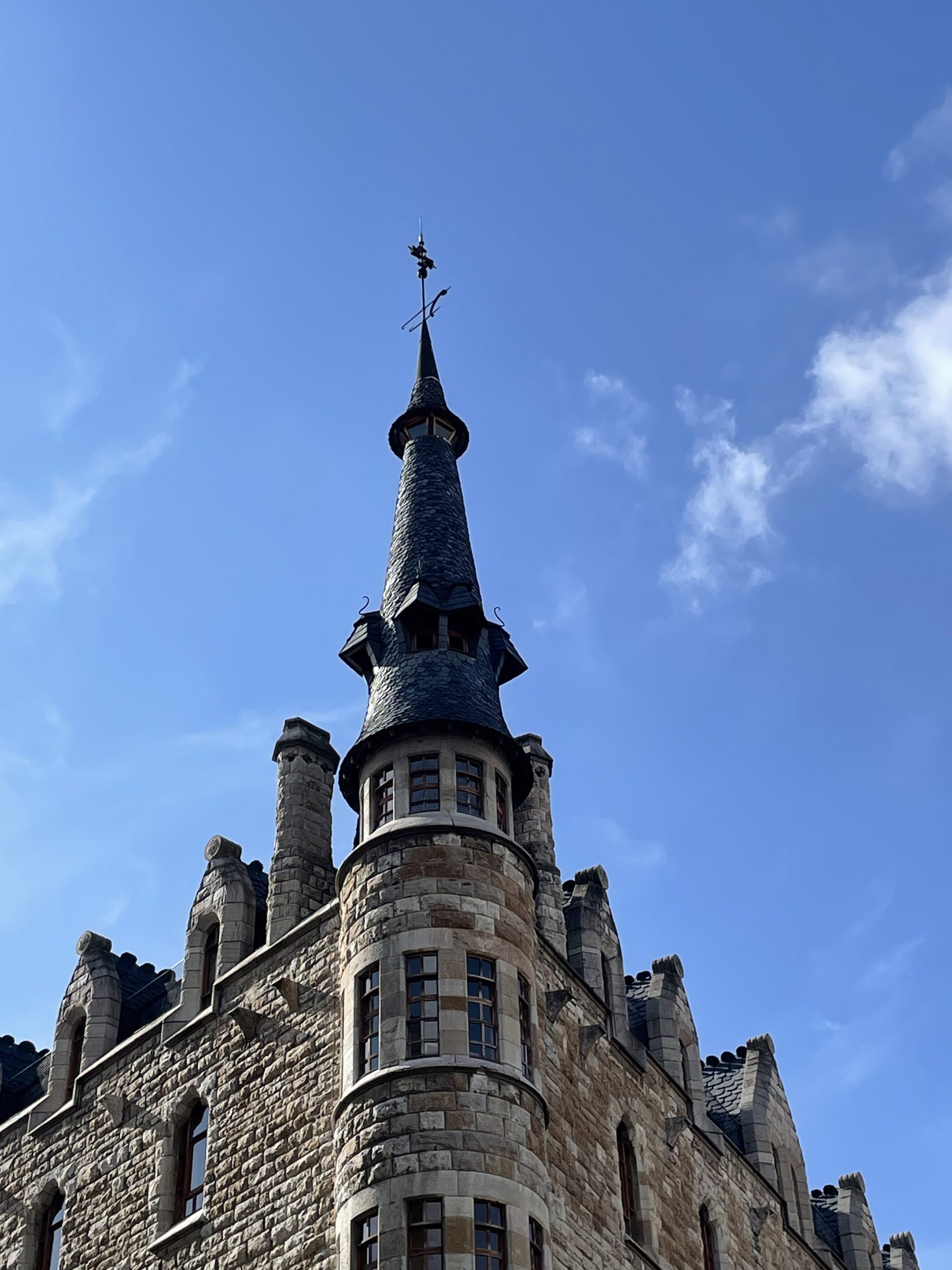
Next to the cathedral was a palace that Gaudi had designed, a fairy-tale-like building made of granite with pointed turrets of slate. Although it was built for his friend the bishop, the interior reminded us of the Moorish buildings of Andalucia.
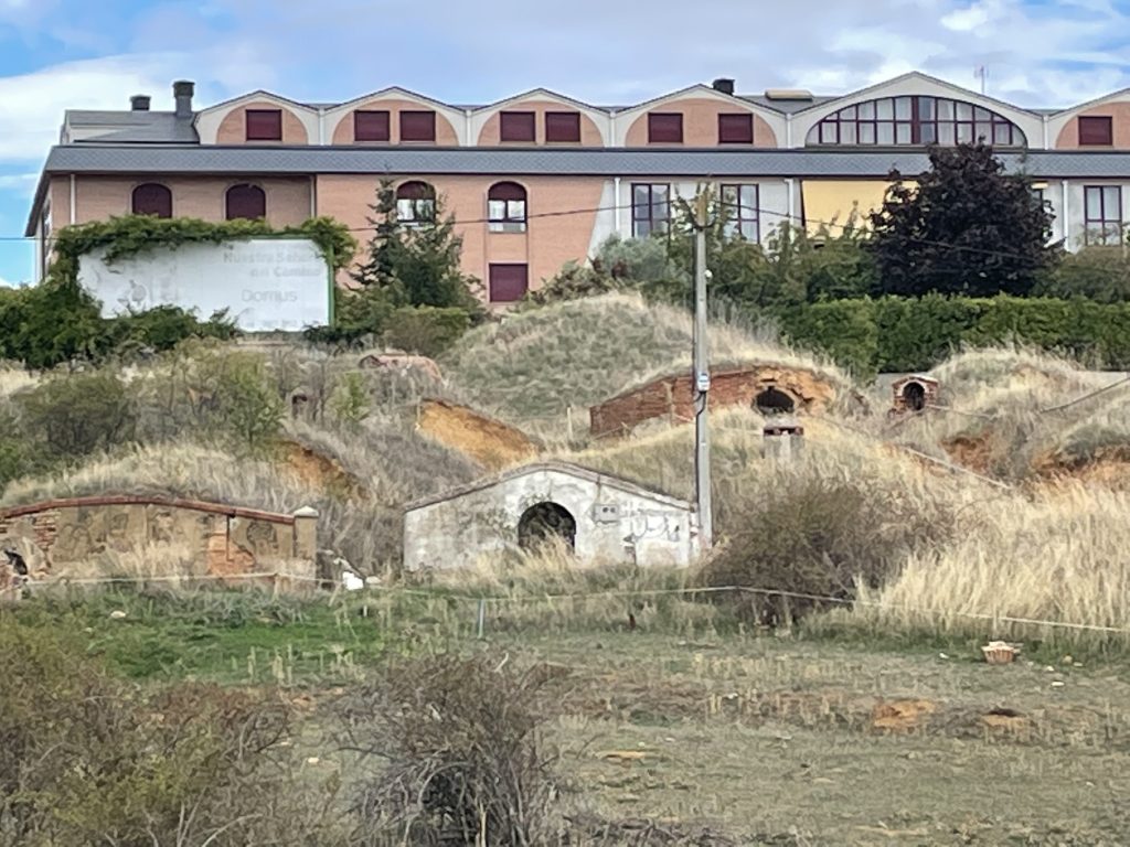
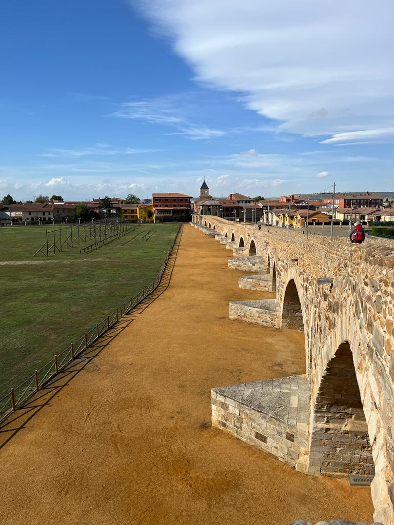


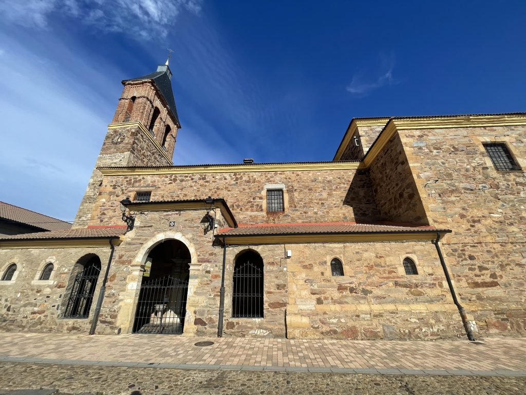
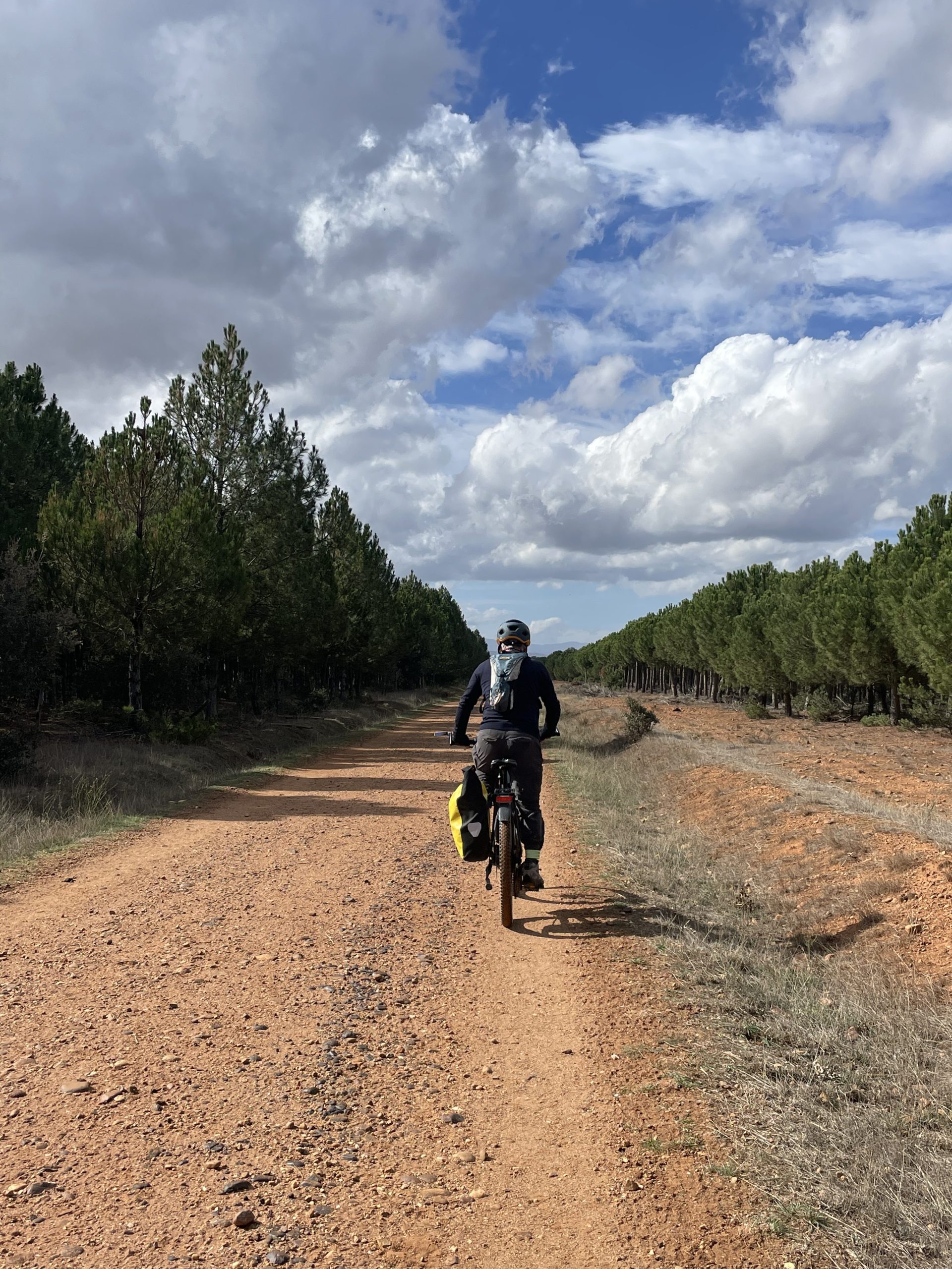

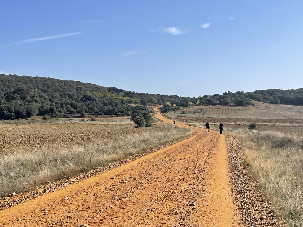
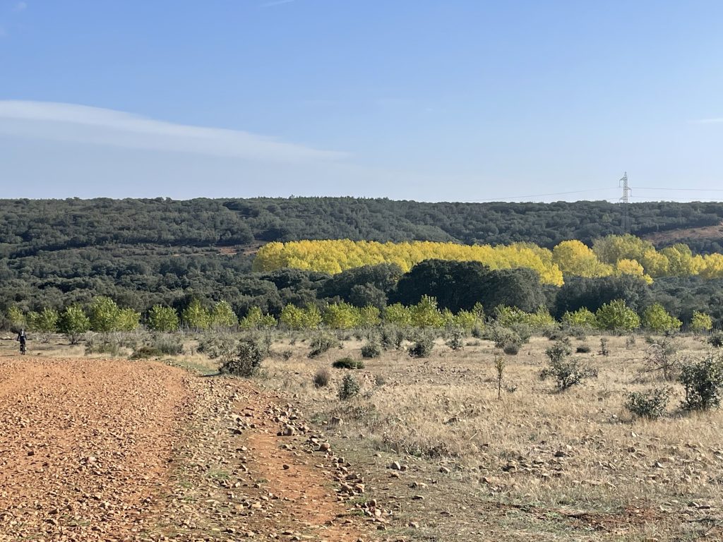




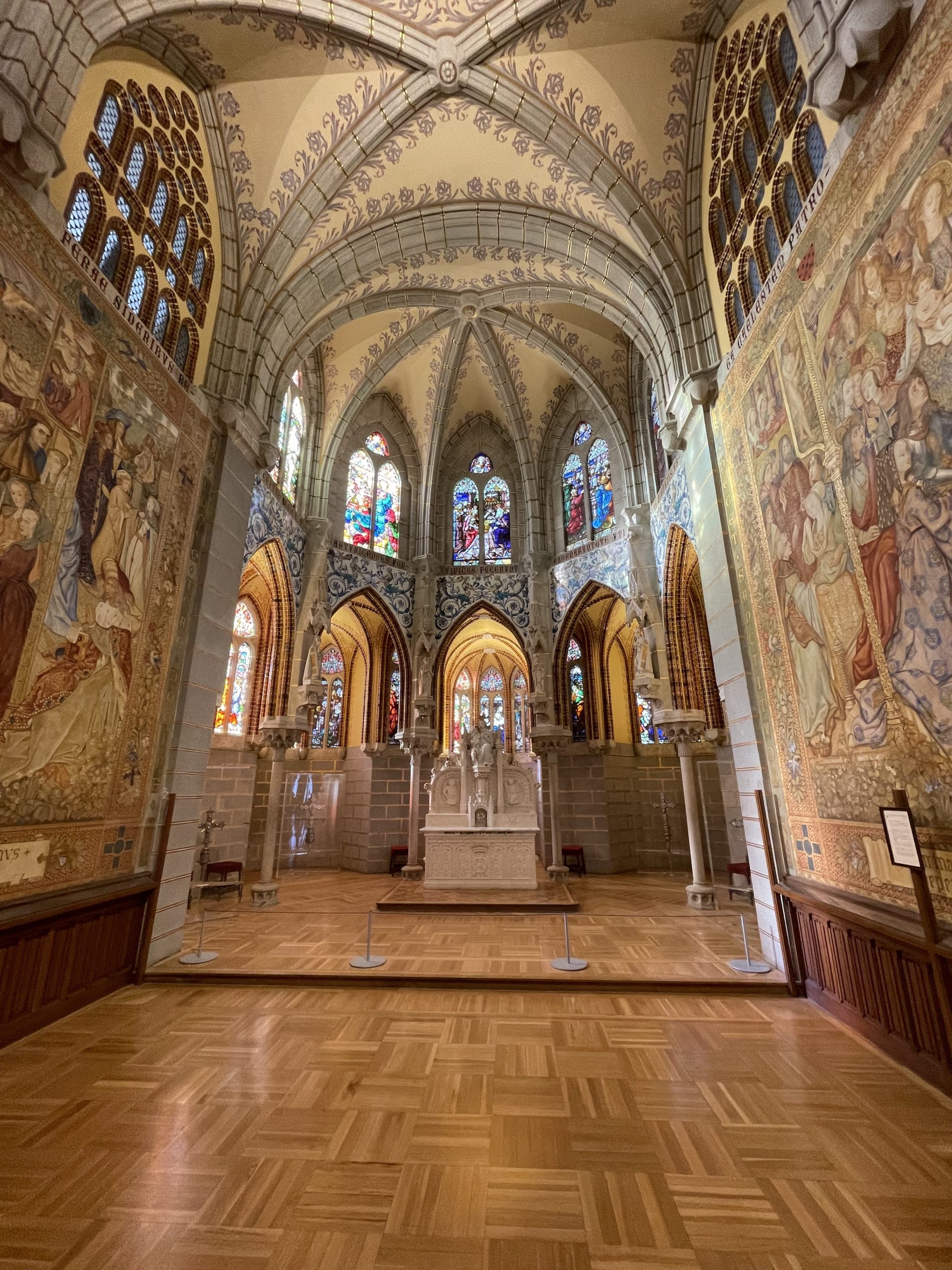
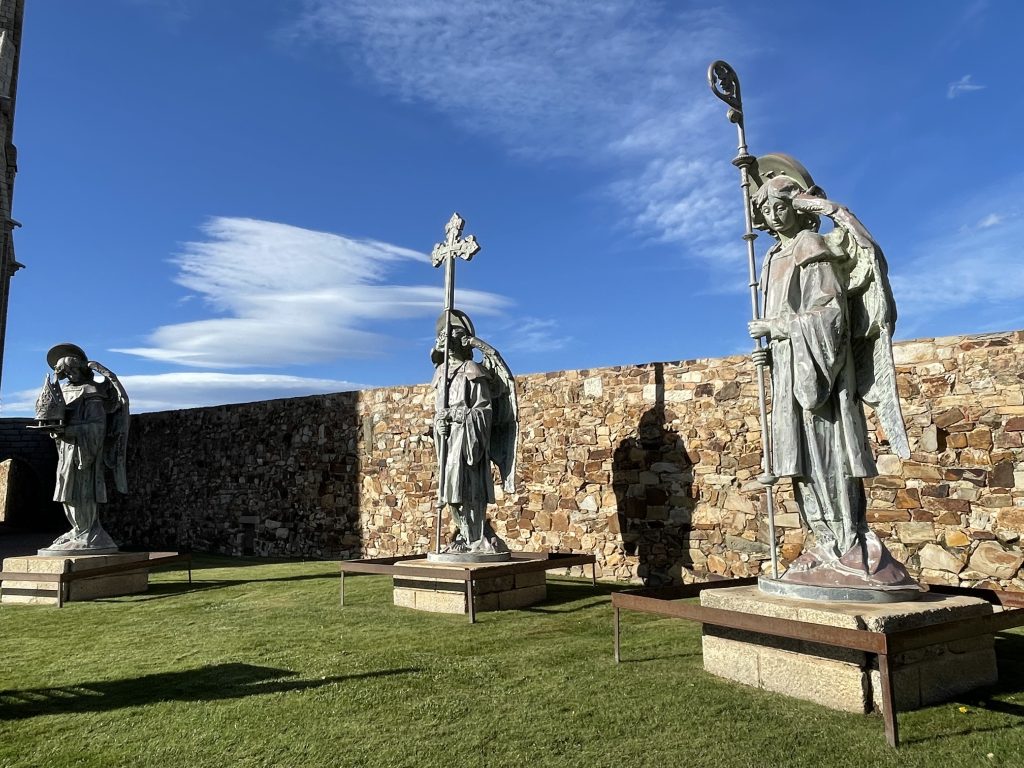
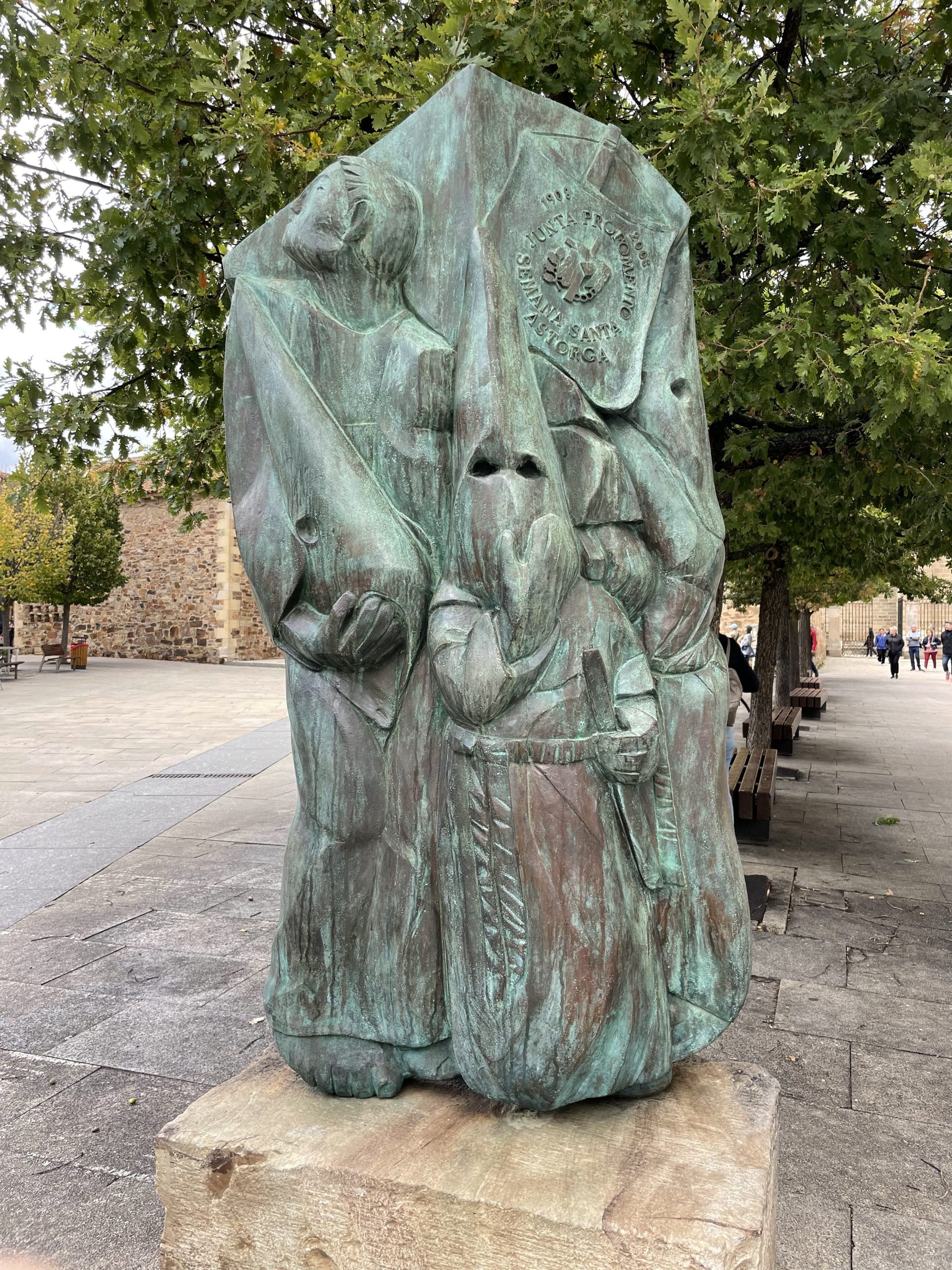


Sadly not our favourite city, we were spoilt by Burgos and Legrono.
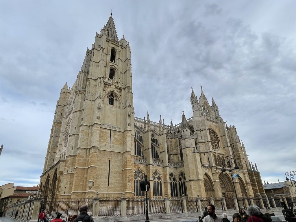
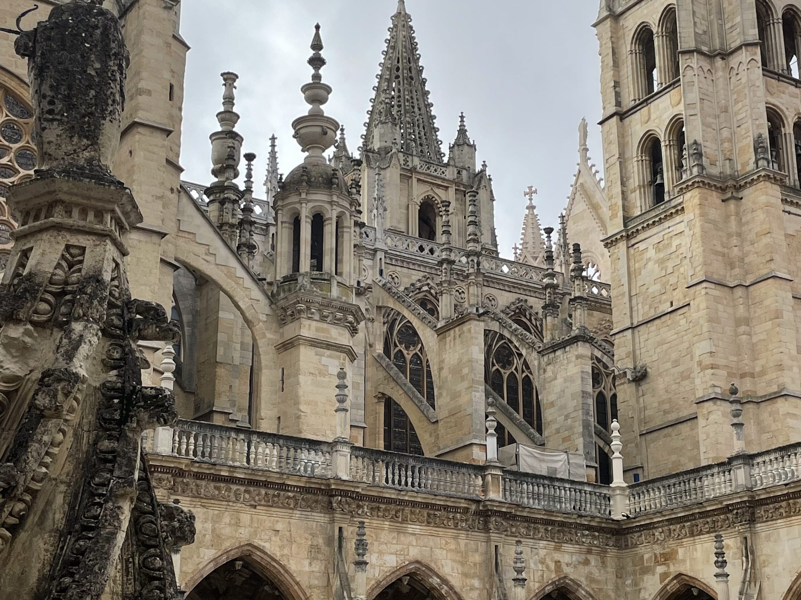
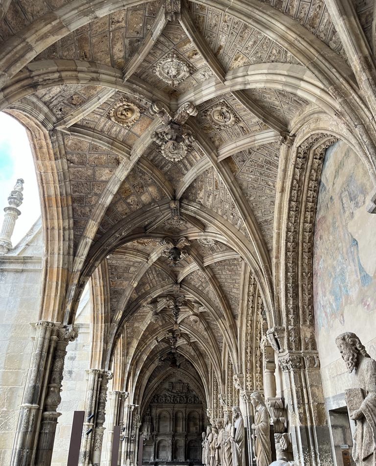
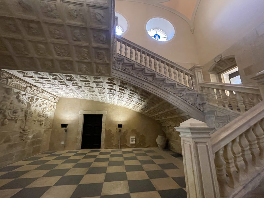
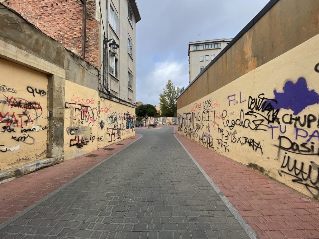
The approach to Leon was through what seemed like miles of trading estates. There’s loads of graffiti and there’s an air that feels a bit ambivalent, the cafe staff couldn’t care whether we were there or not. The worst were the cashiers selling tickets in the cathedal, museums and Gaudi’s building. Although they are all tourist attractions, the staff spoke the fastest Spanish we’ve heard yet, apart from saying, ’no hablo ingles’ very precisely. It’s a good thing we like trying to guess what people are saying!
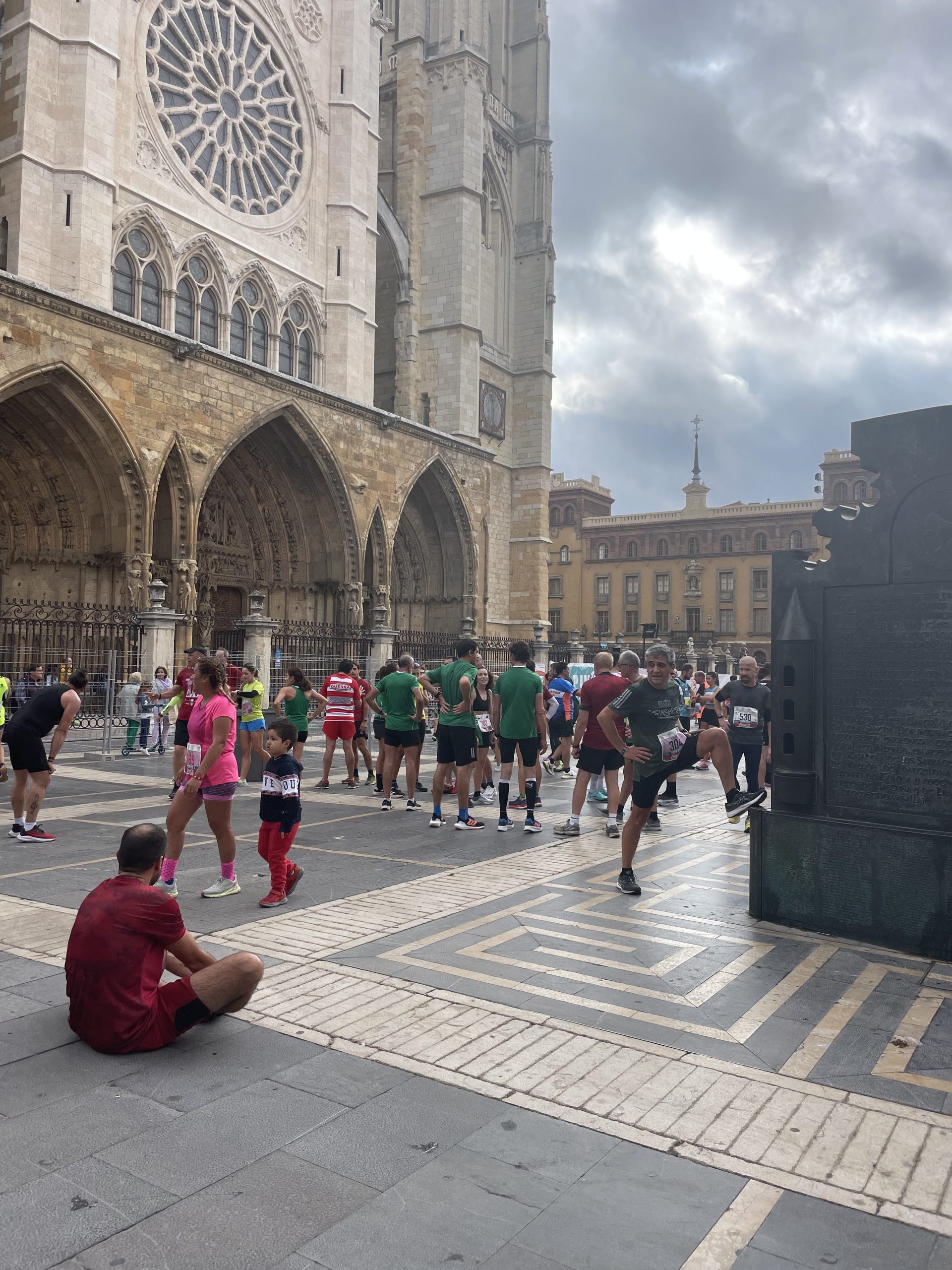
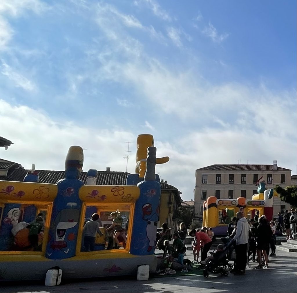
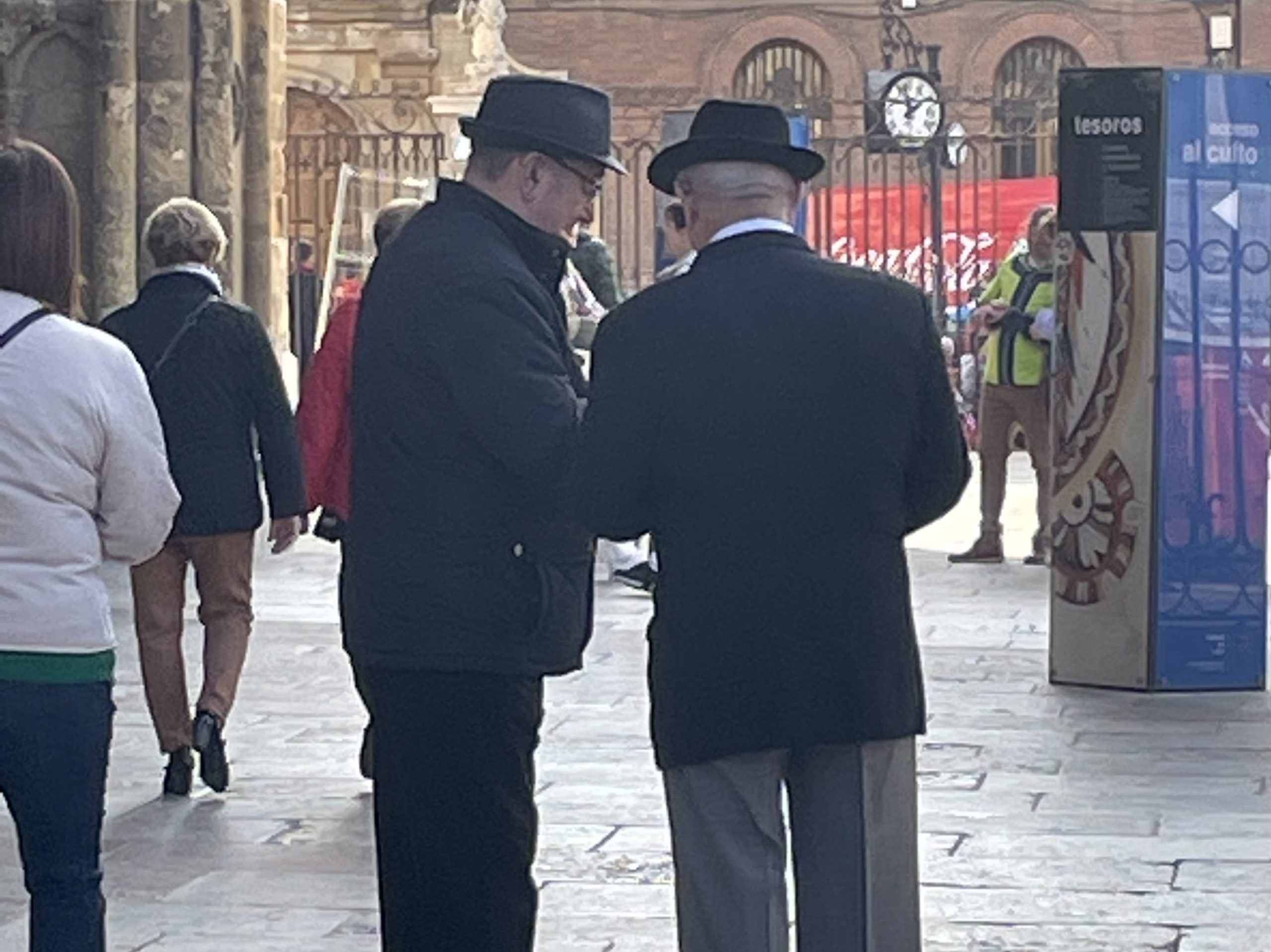
What surprised us the most was the 10k race that finished right outside the cathedral door; even inside the magnificent building we could hear the PA system announcing each runner as they crossed the line. This, blended with the squeals of the children on the two bouncy castles had to be heard to be believed. And it was Sunday morning! Are we getting old, or what?
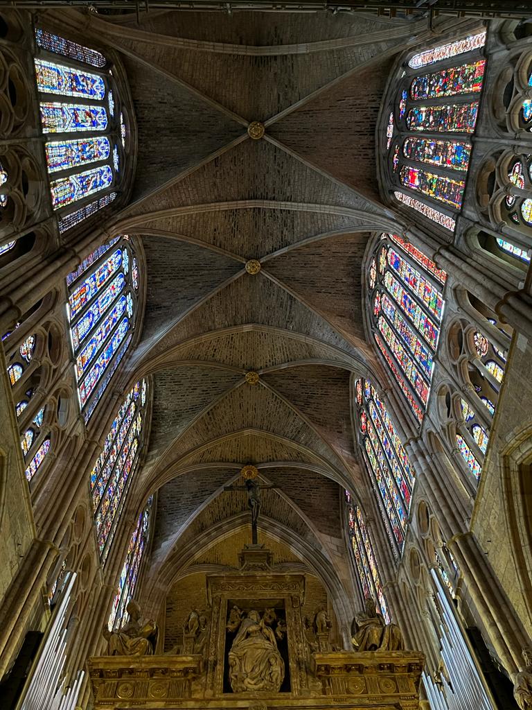
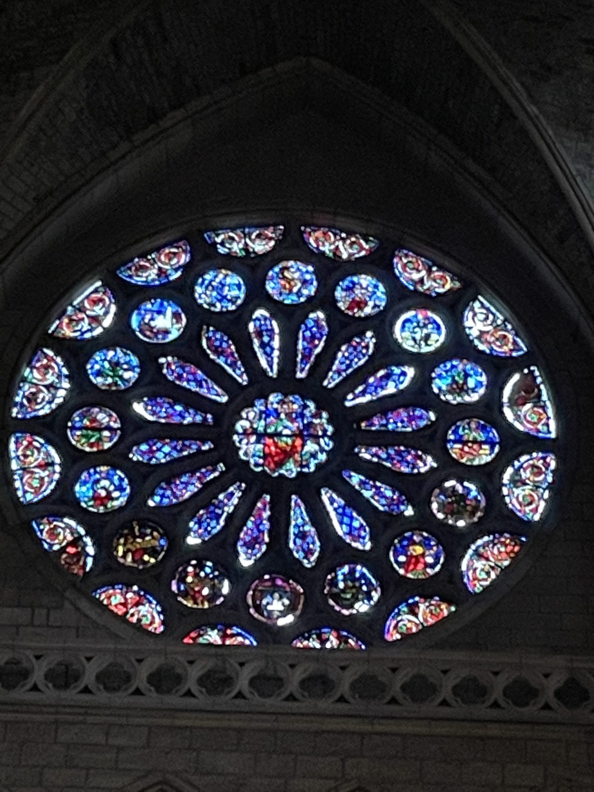
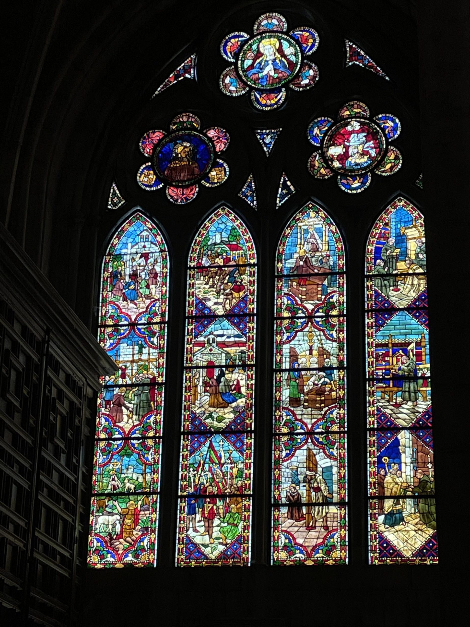
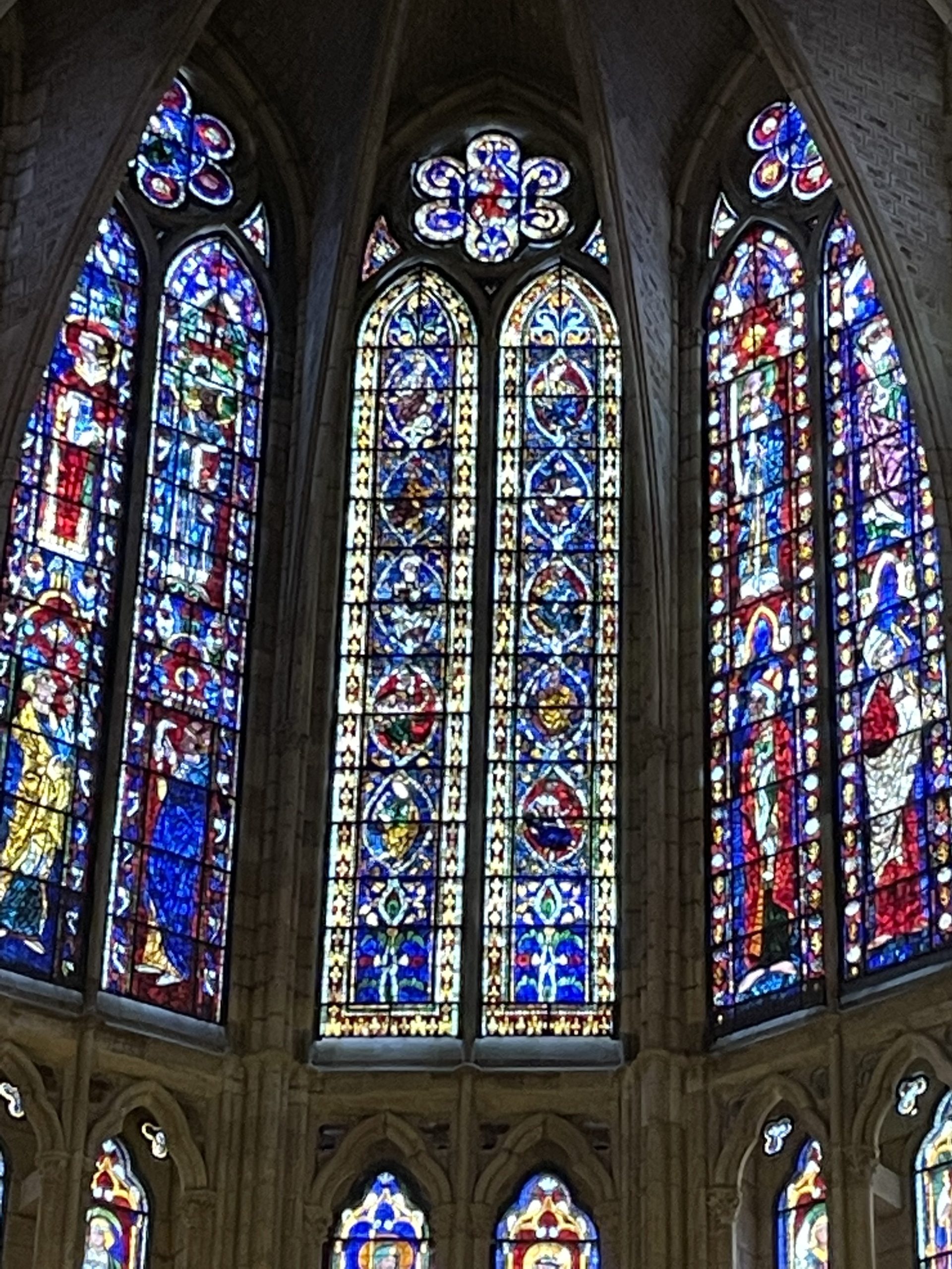
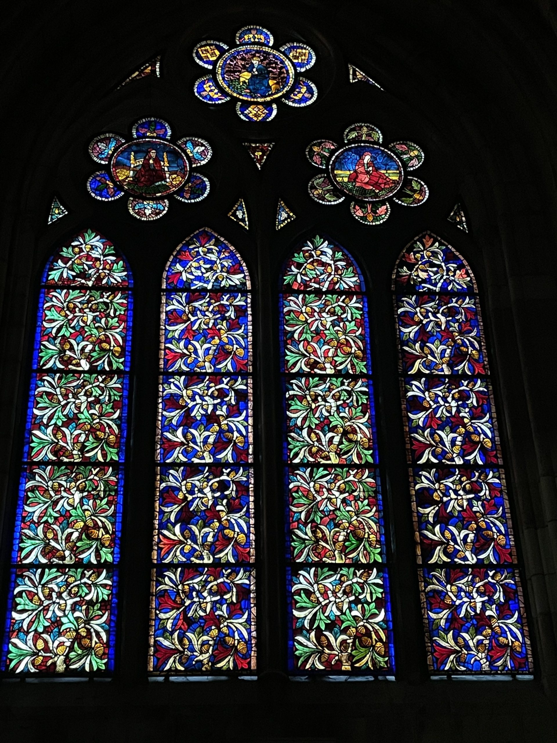
Inside, the stained glass was jaw dropping, and most of it was original from the 13th century, each piece hand crafted. We wondered if William Morris had been here to inspire some of his designs.




SAHAGUN TO LEON
Sahagun provided a lovely stopover at a free spot found on the Park4Night app with lots of shade for Jessie under the trees of a small park.
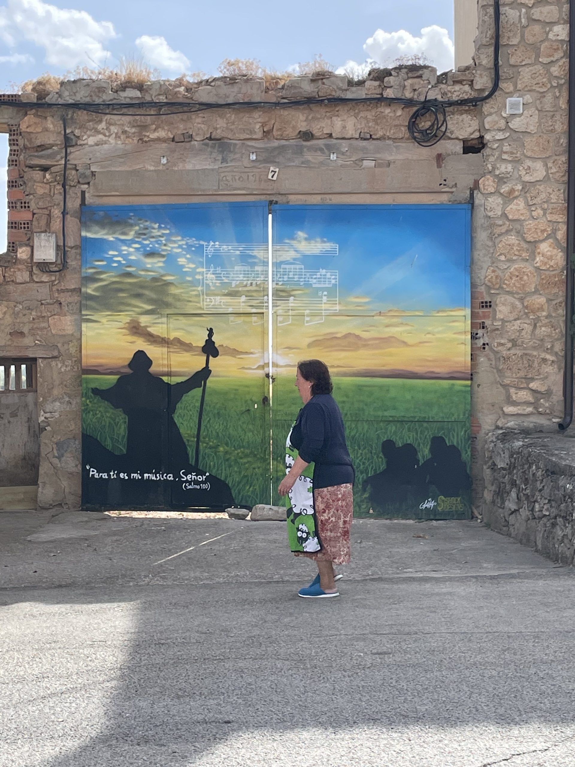
The town was interesting, lots of bars and cafes with exterior walls painted with murals. We spent an evening there hoping to meet some walking peregrinos, but it seems they all go to bed early after walking all day. All we found by way of activity were noisy Spanish children playing in the main plaza till late in the evening.
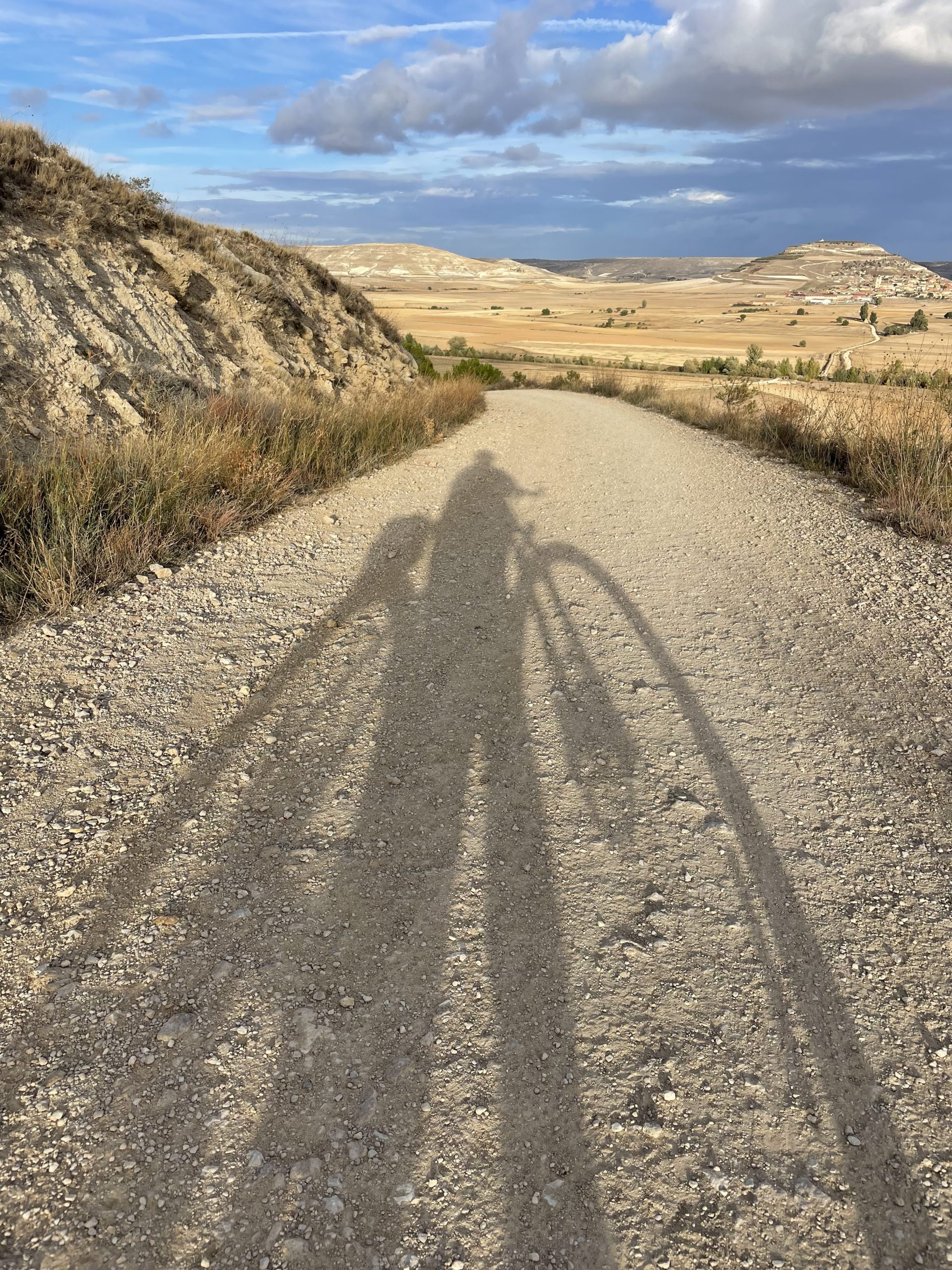
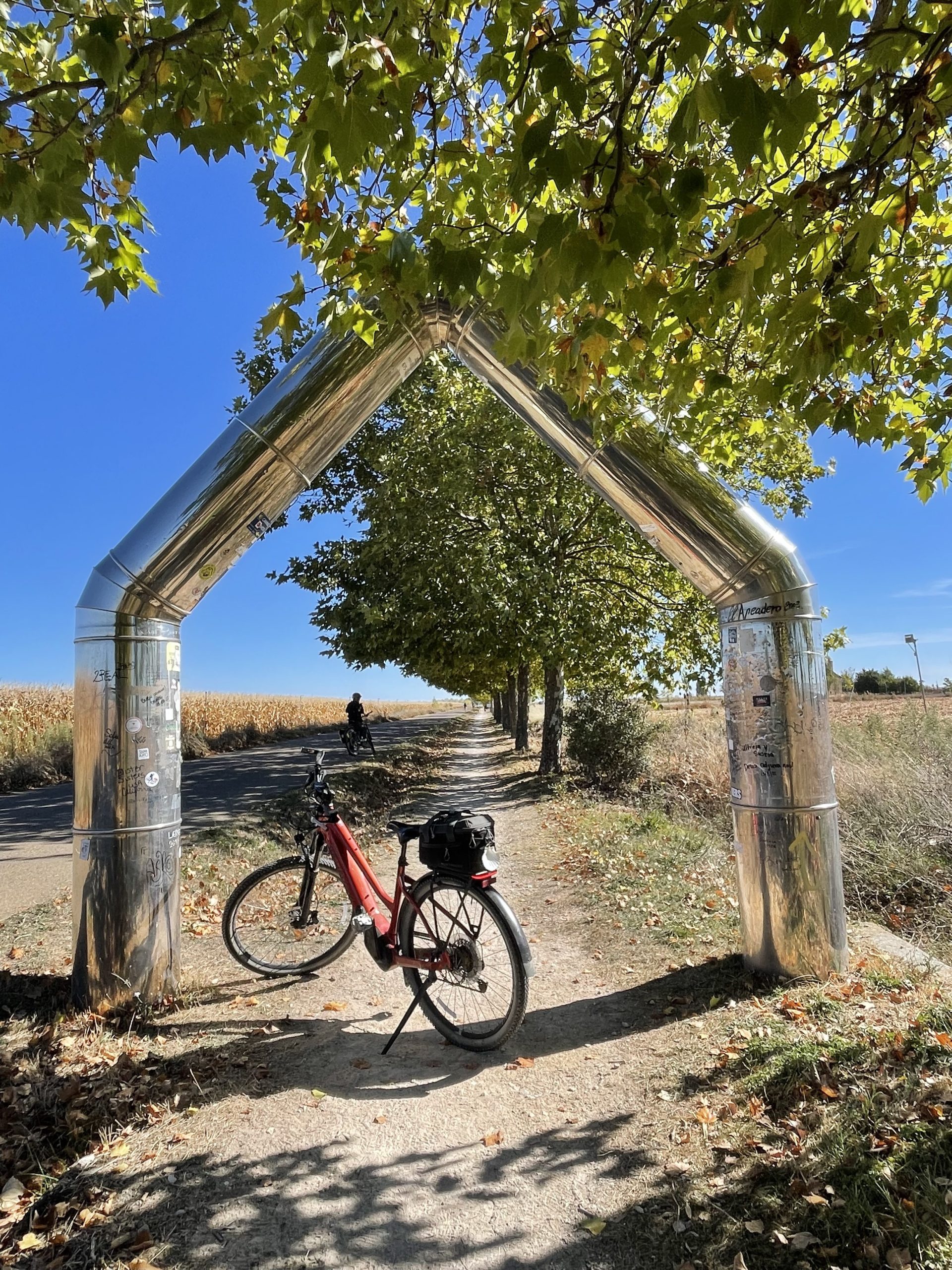
The Camino runs parallel to the old N120 road, so for quite a few miles we cycled on the empty road instead of getting in the way of the walking peregrinos.
It was refreshing to see some different crops on either side of the Camino, maize was yet to be harvested, some tiny vineyards were scattered between the giant corn crops, irrigated by an acquaduct that ran along the edge of the fields.
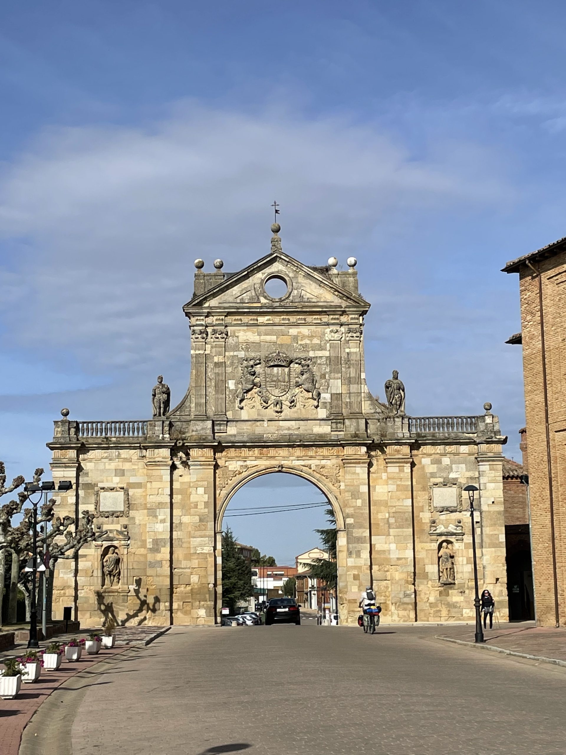
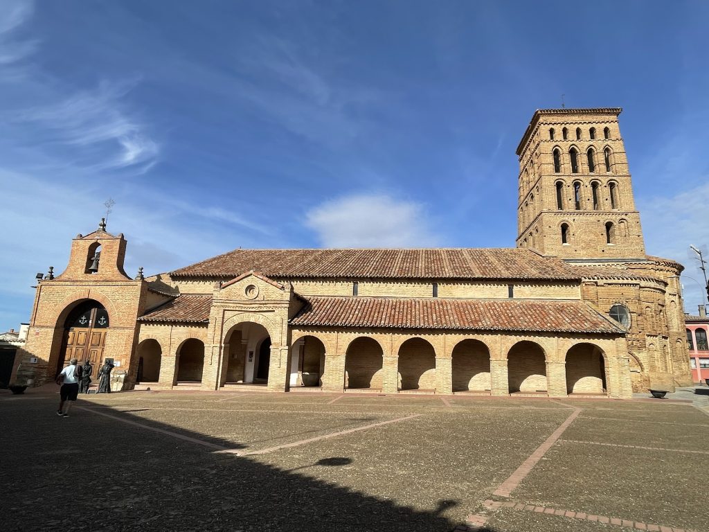
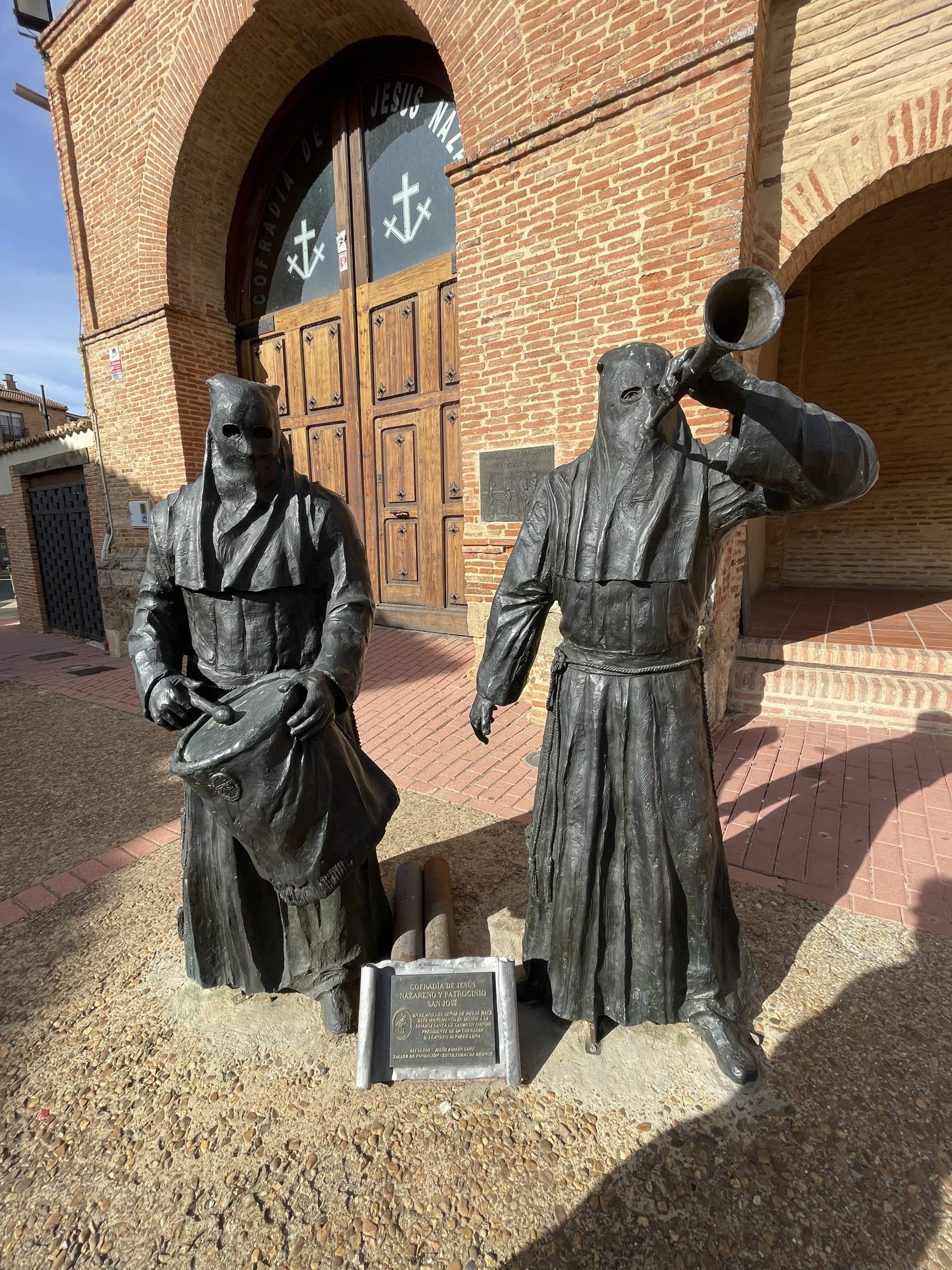
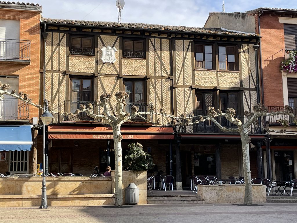
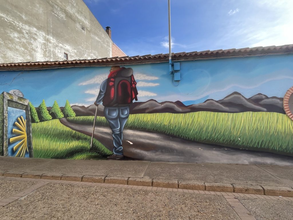
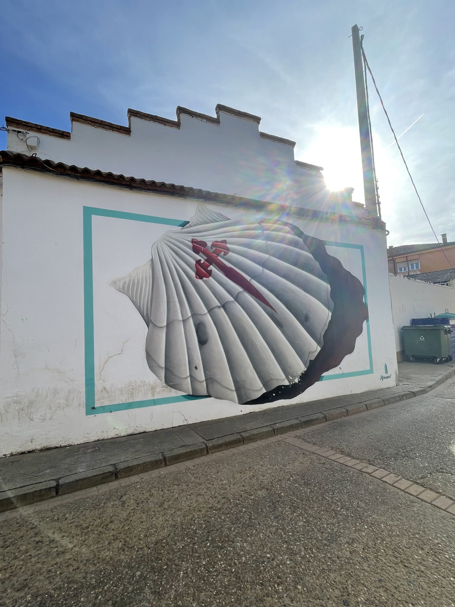
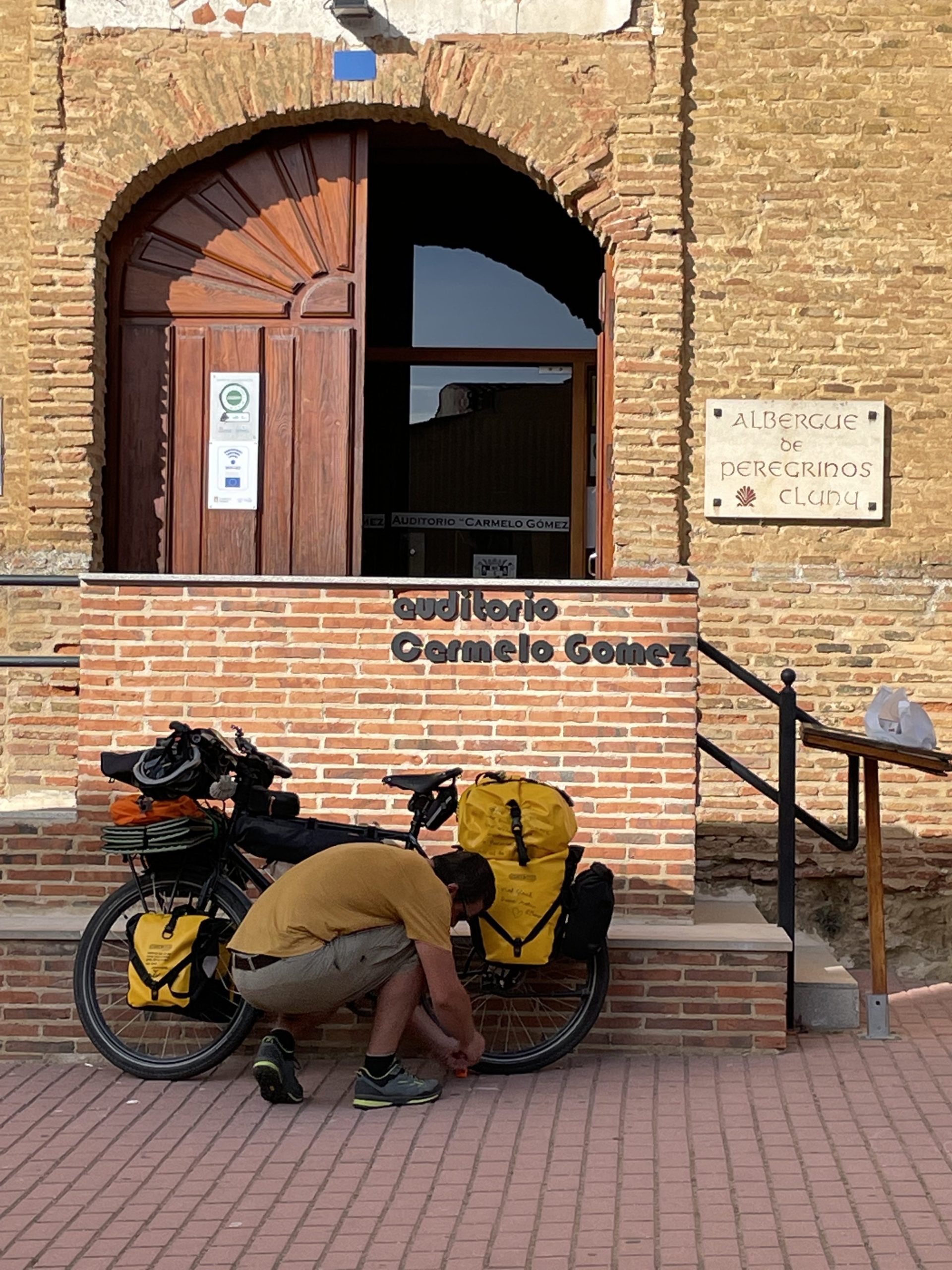
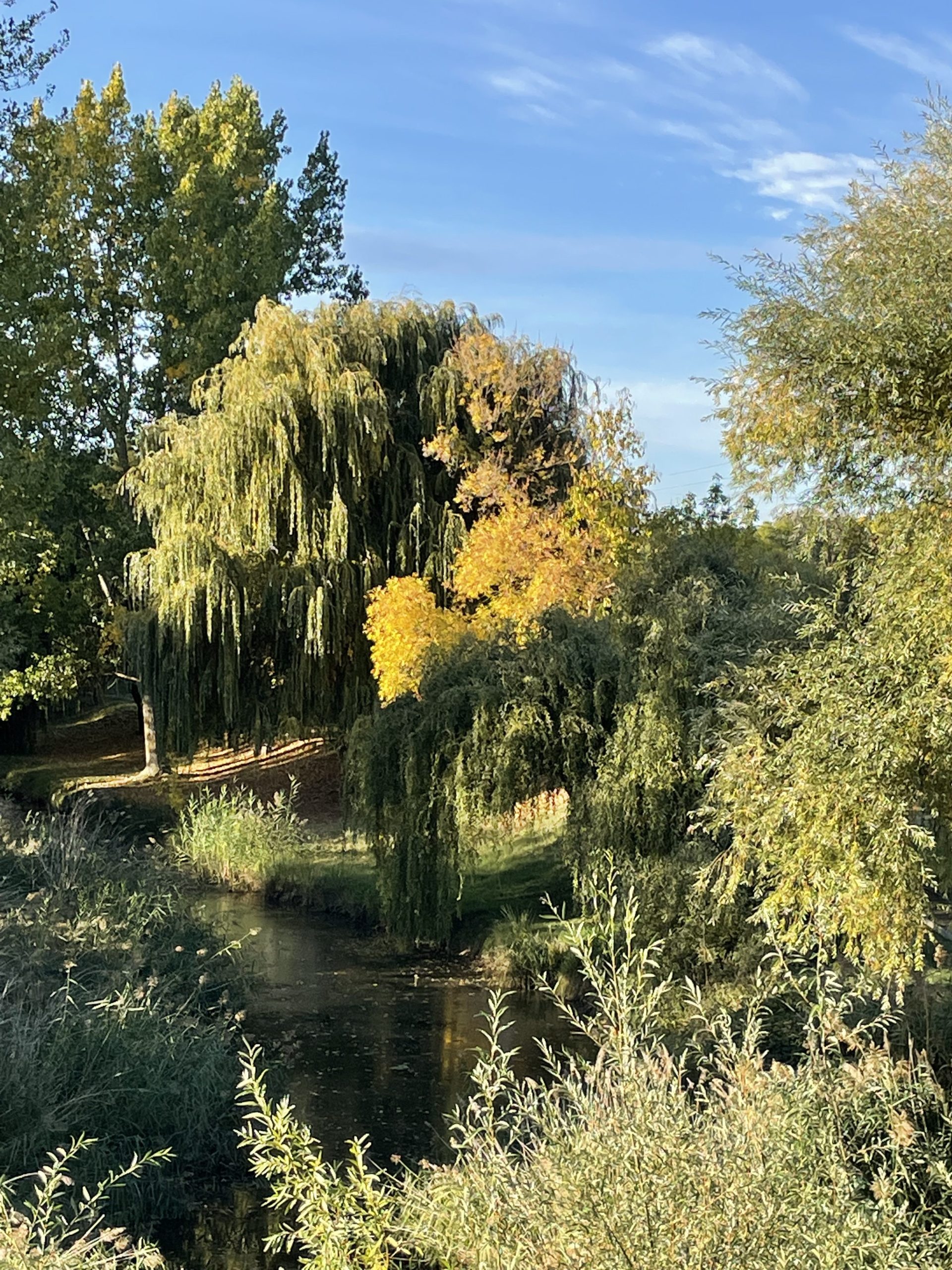
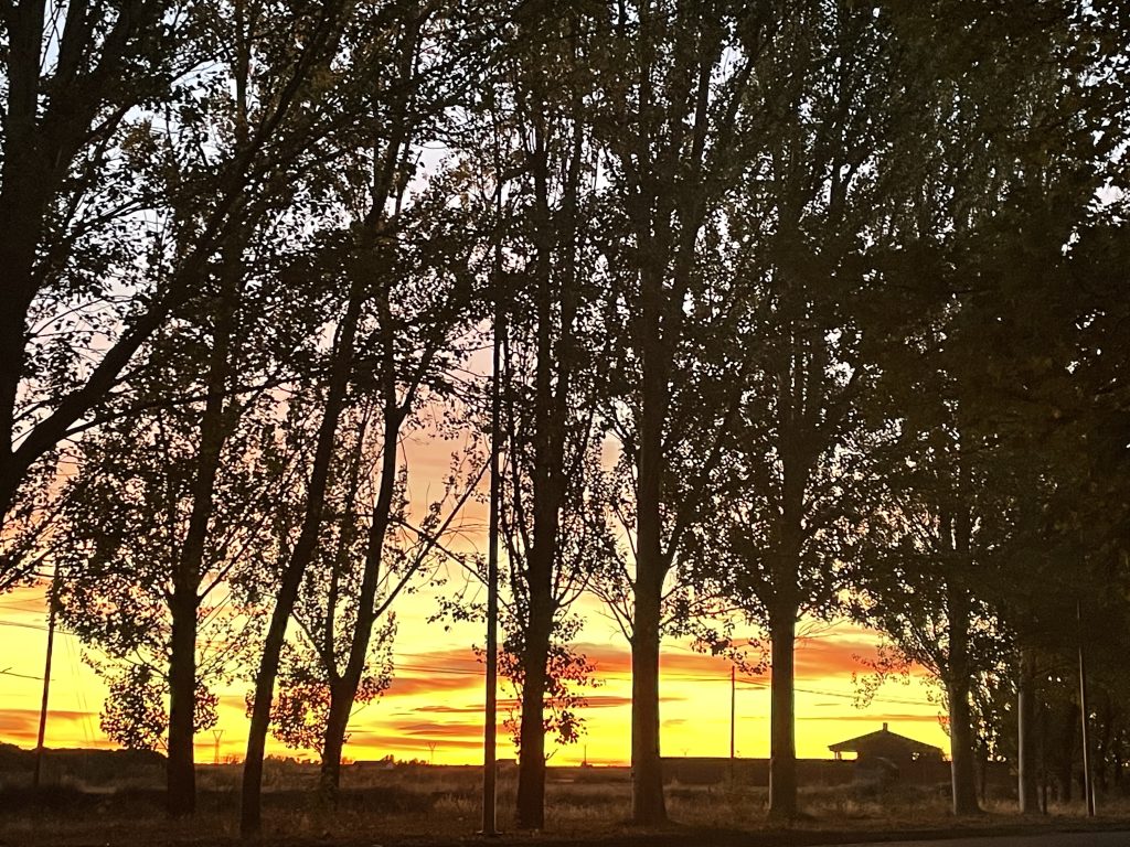
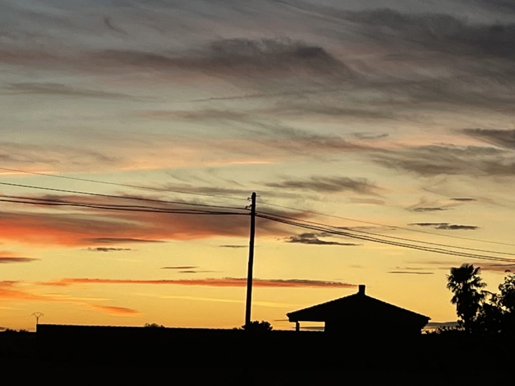
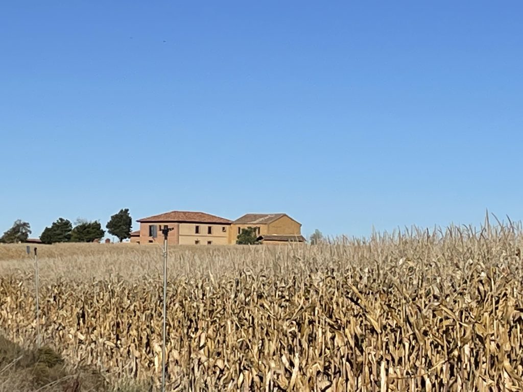
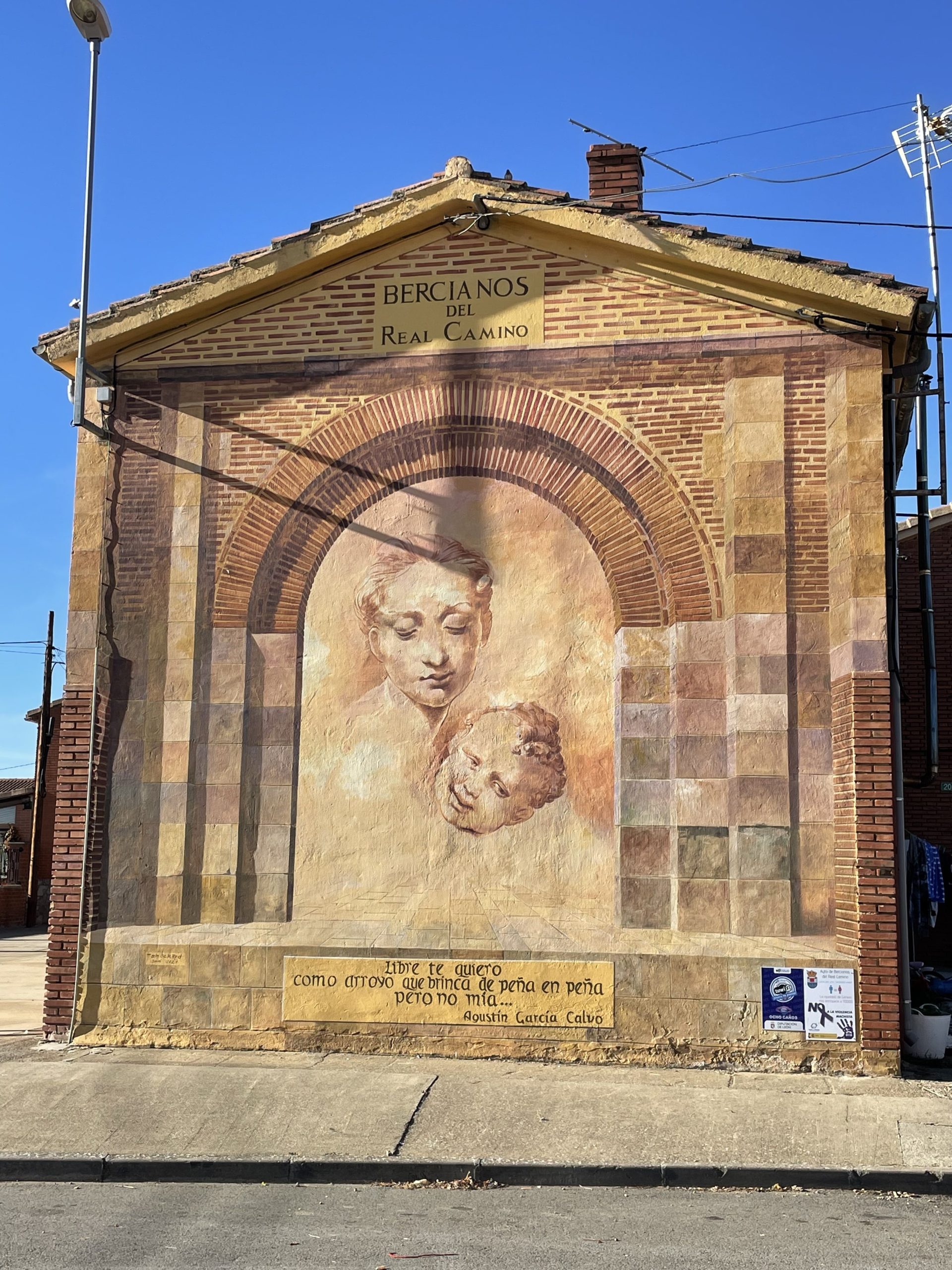
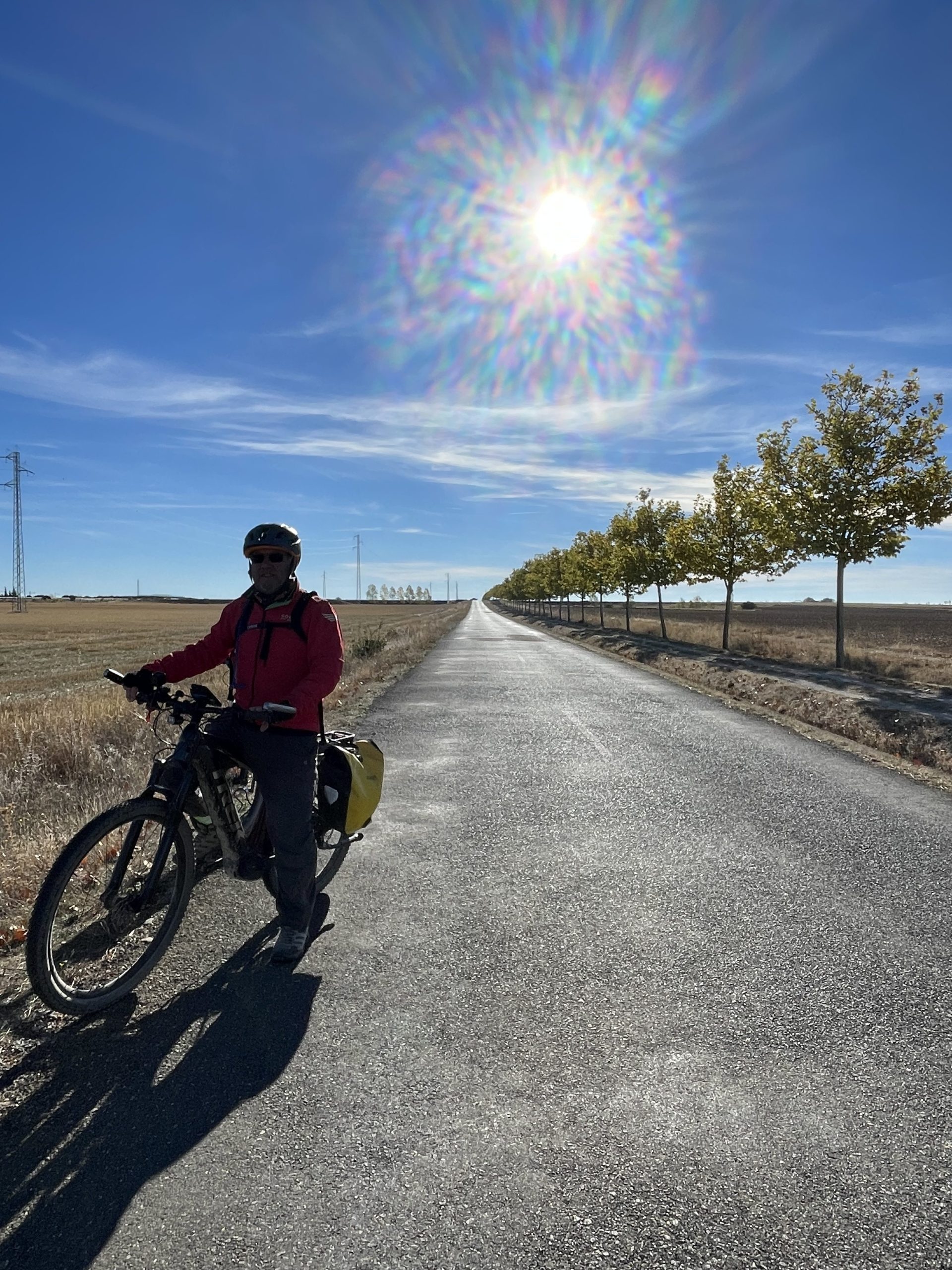
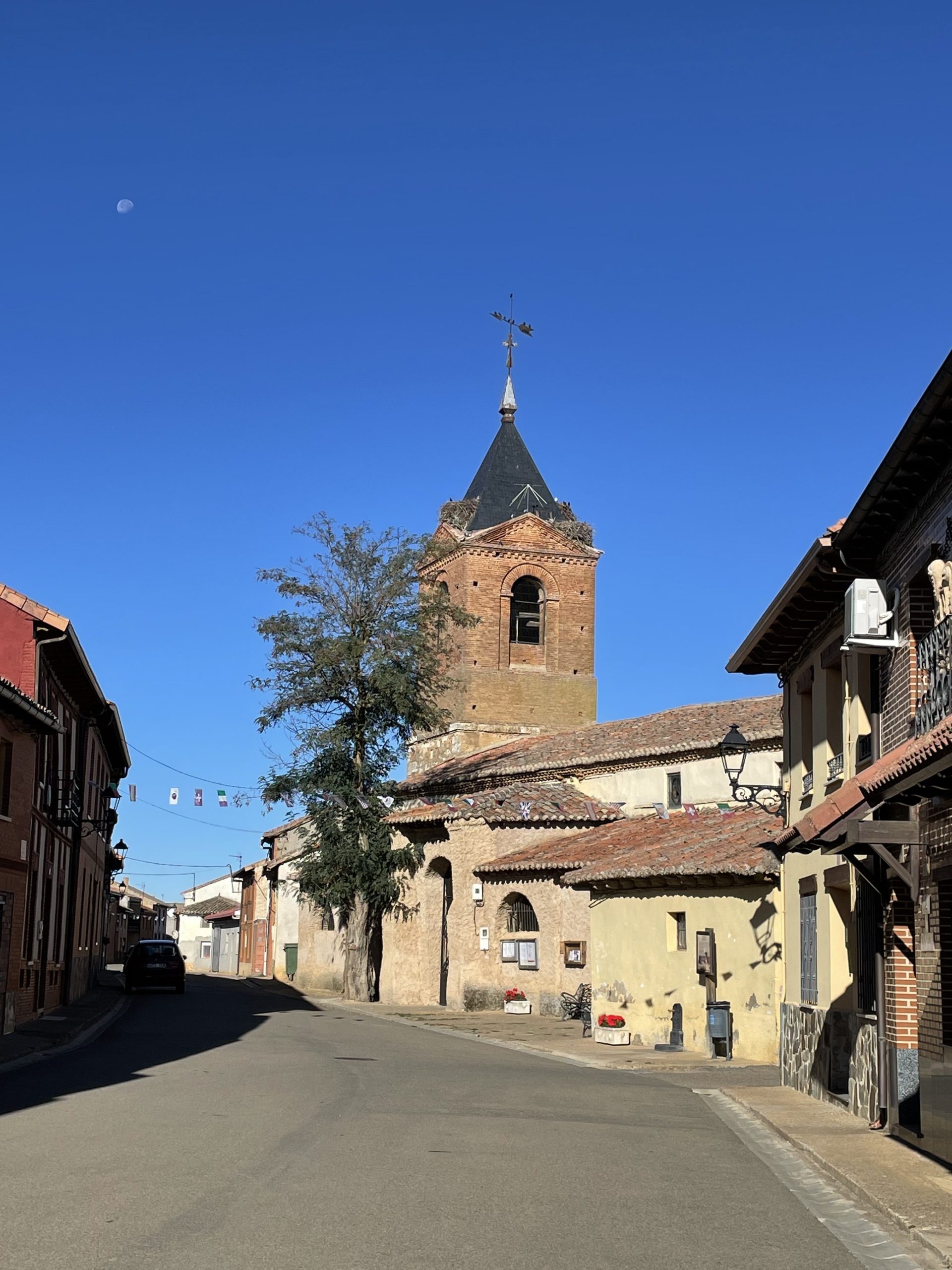
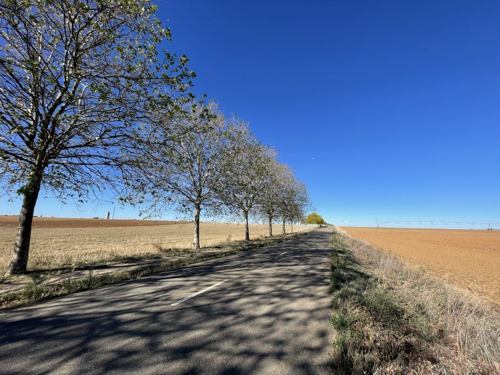
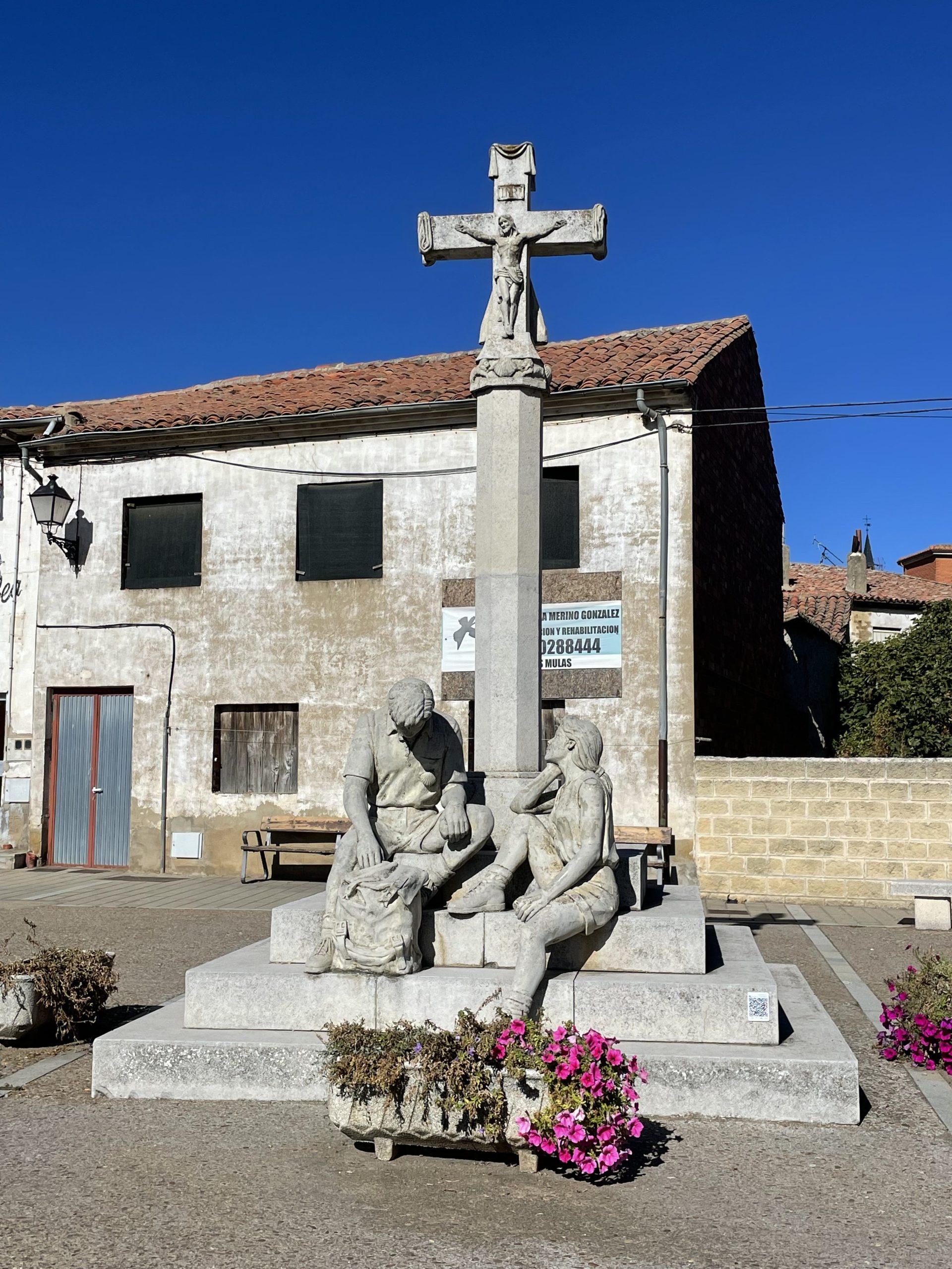
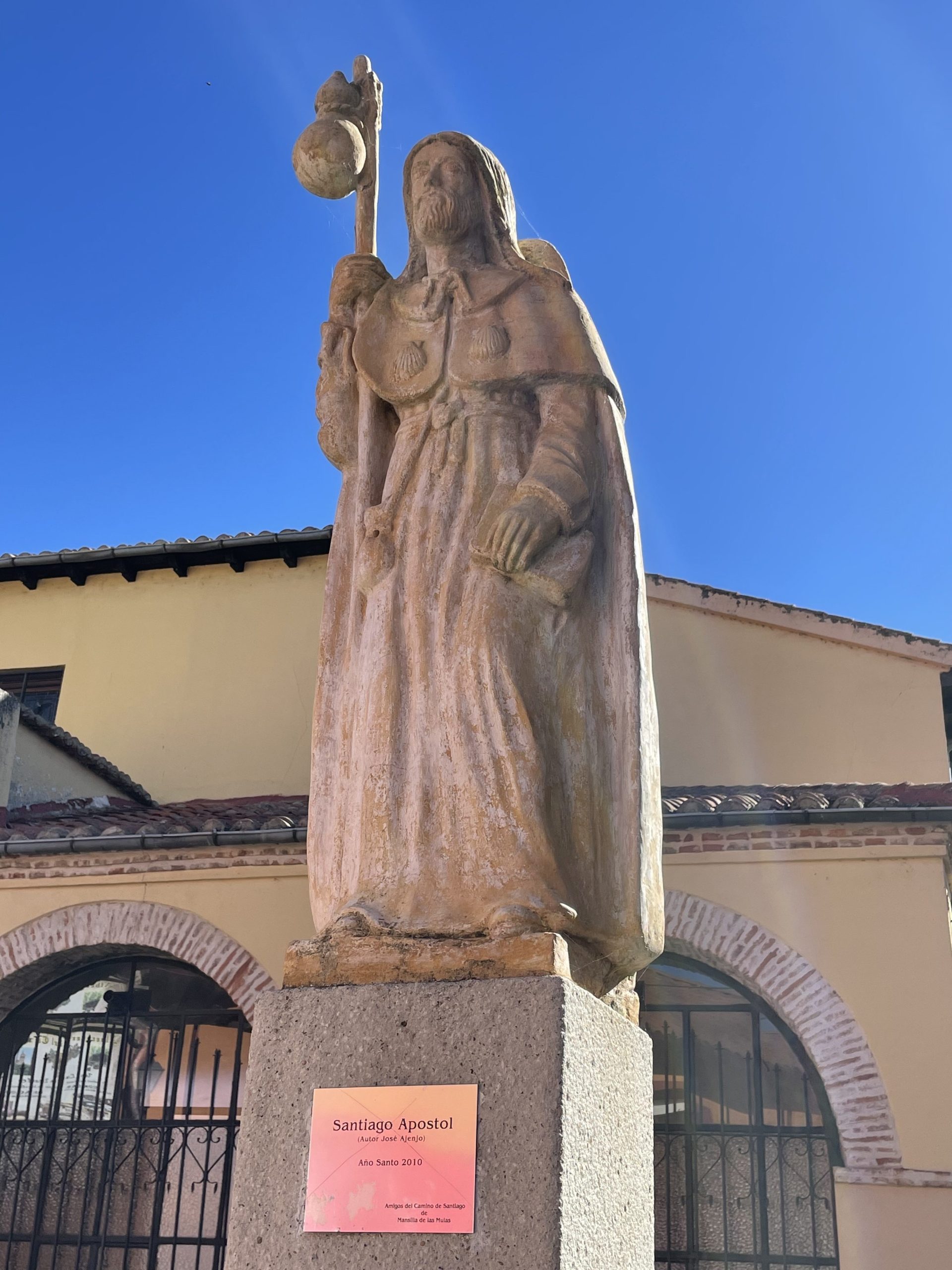
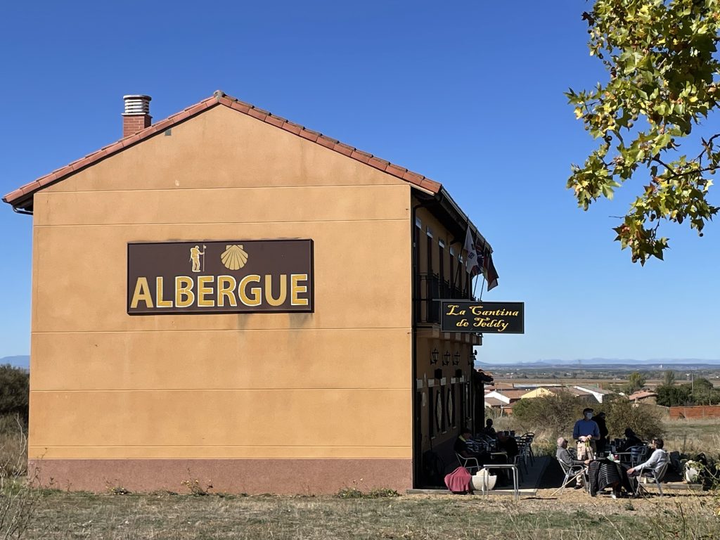
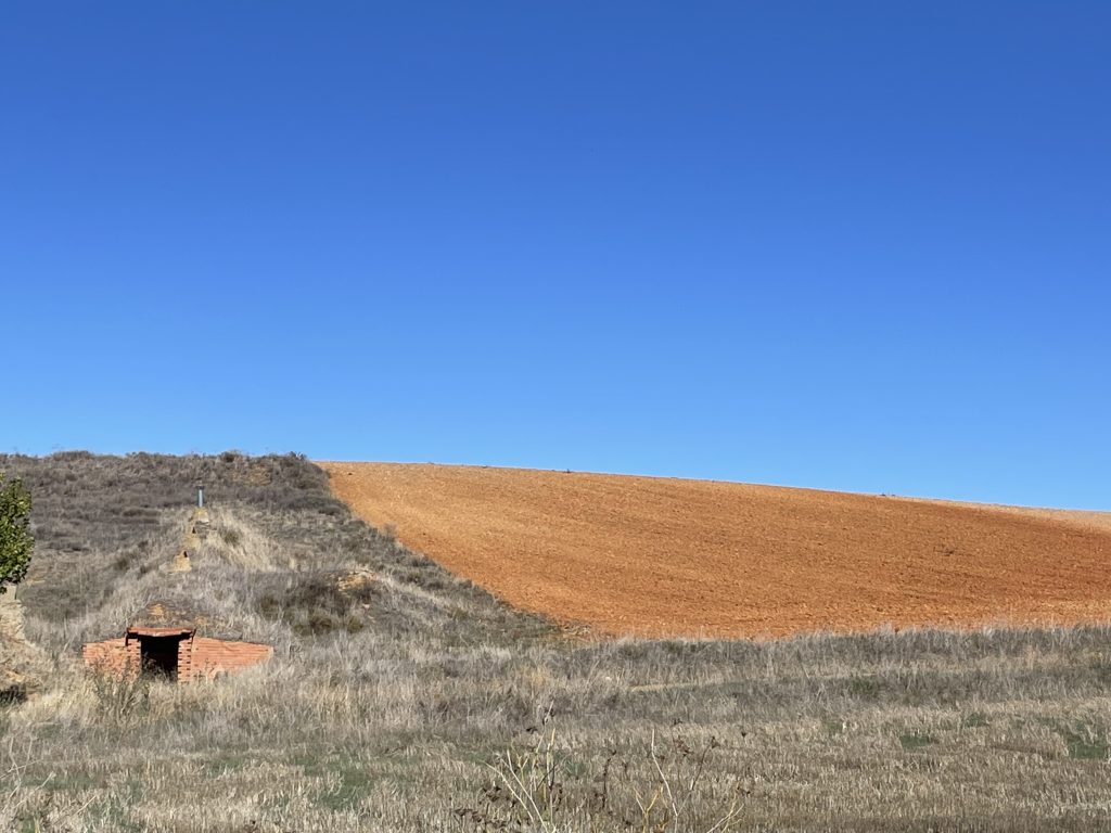
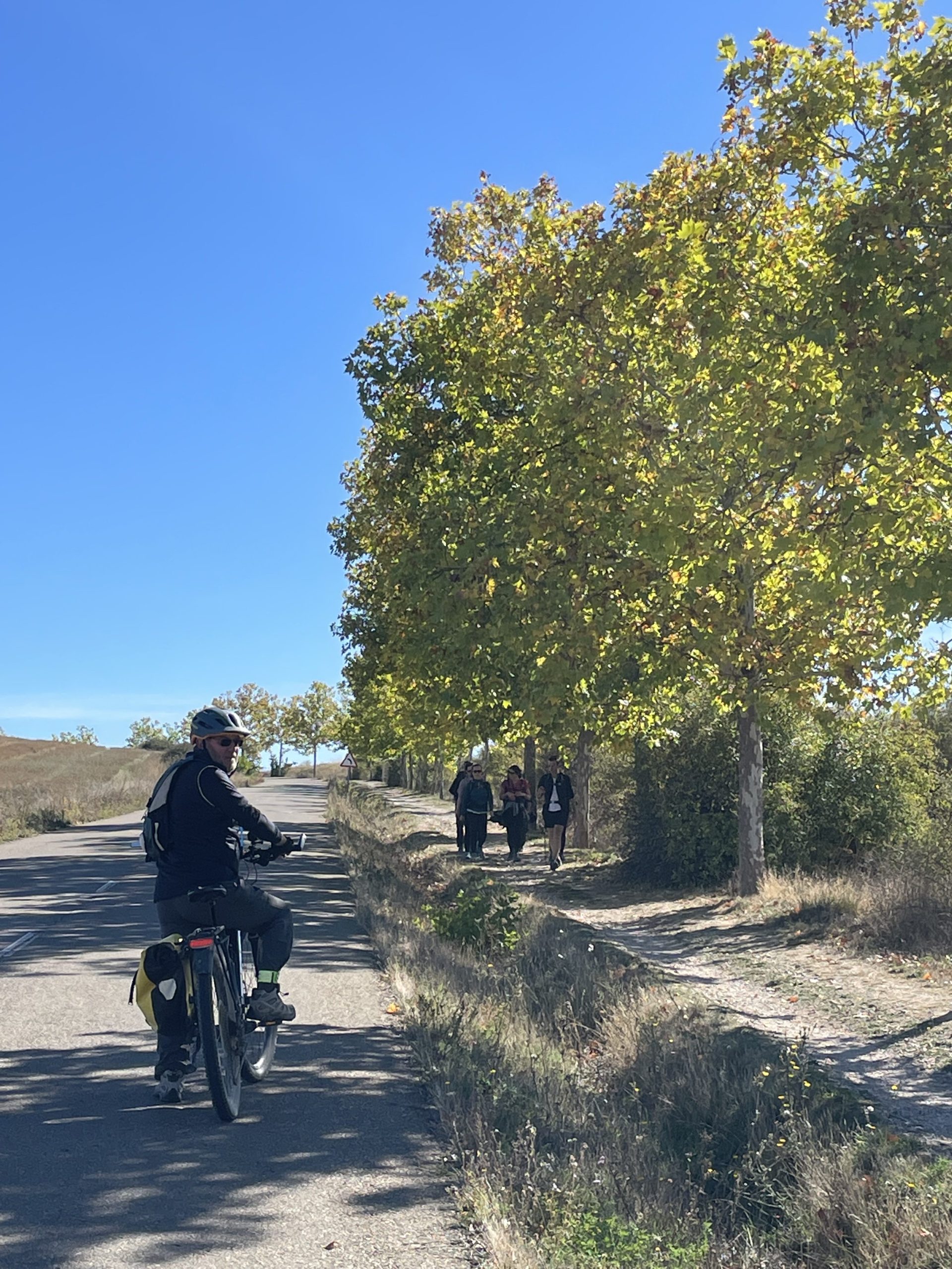
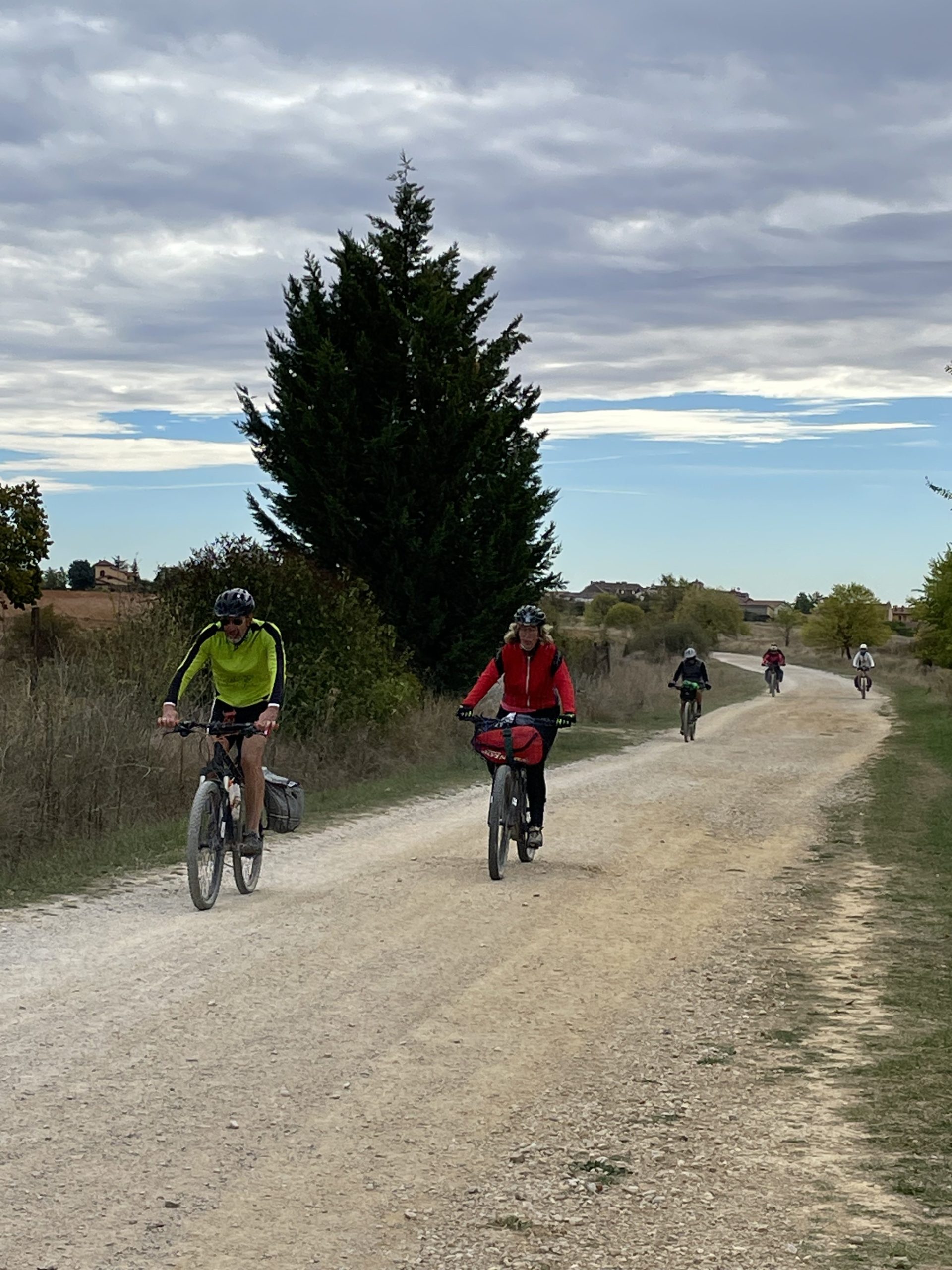
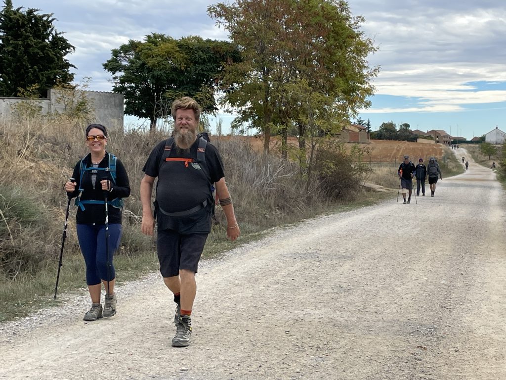
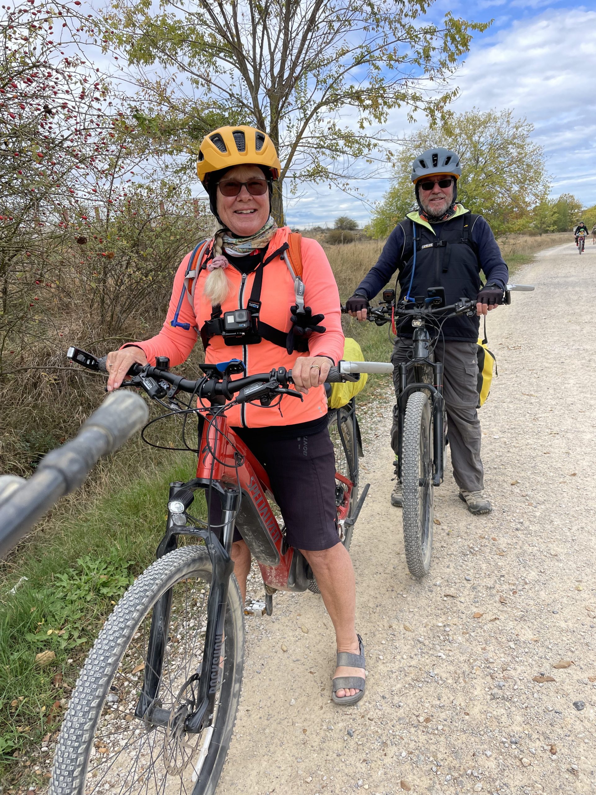
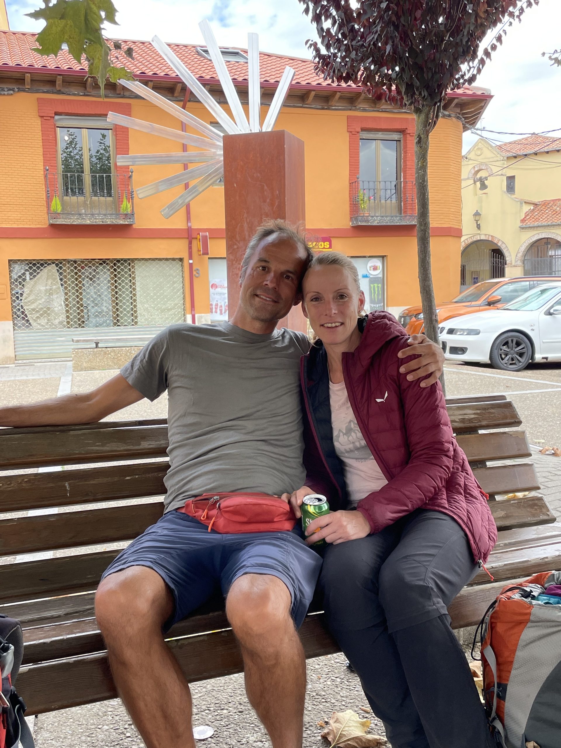
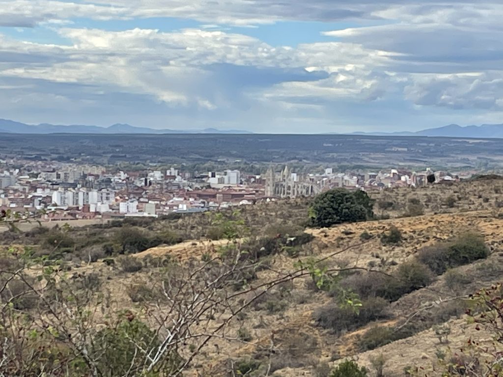
BURGOS TO SAHAGUN – half way to Compostella 😃🚴😃🚴
Not much phone signal on this stretch, so the last 5 days of cycling are recorded together.
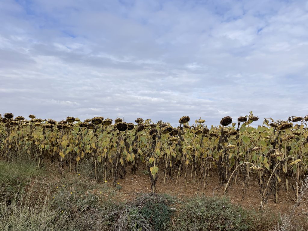
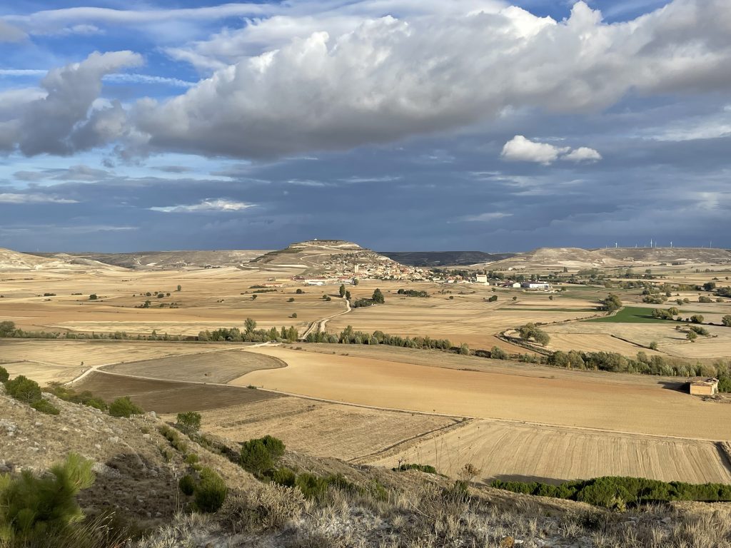
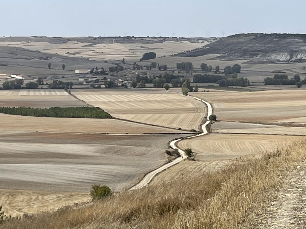
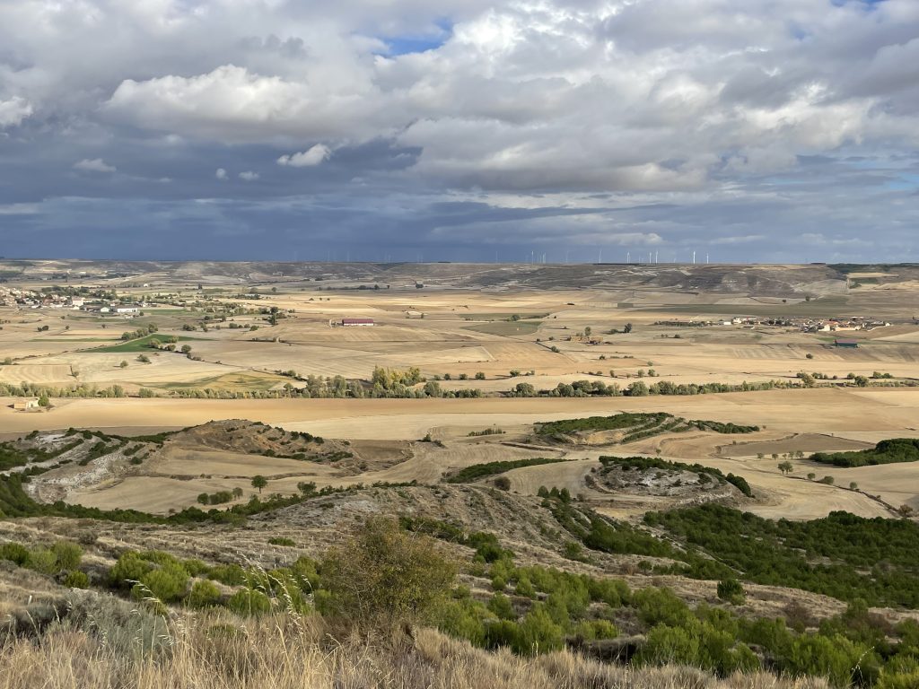
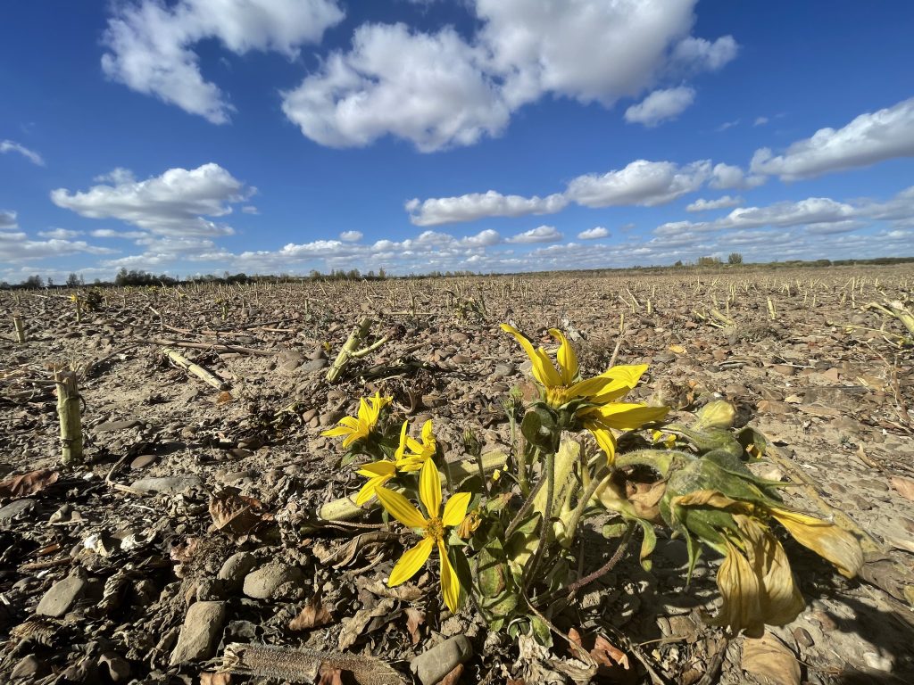
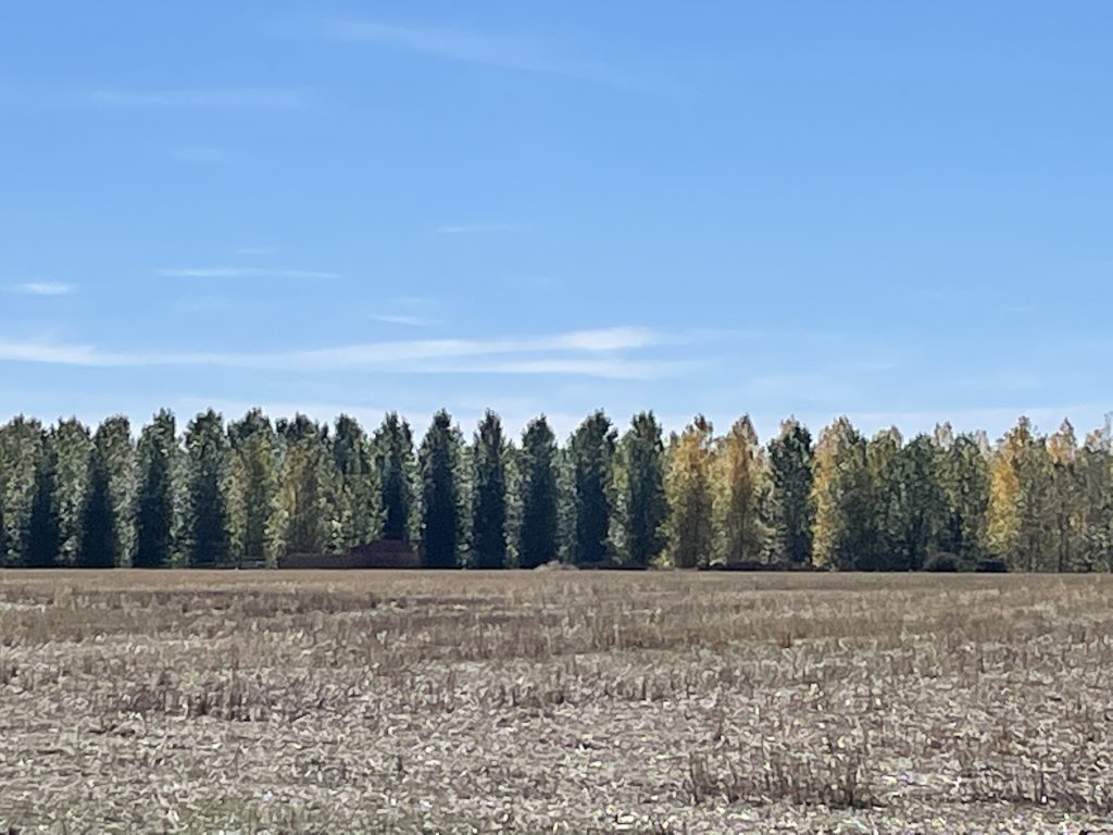
From Burgos there’s a steep incline on the Camino which takes you to the meseta – literally ‘big table’. It’s a plateau which is cultivated with cereal crops and sunflowers – the breadbasket of northern Spain – and stretches from Burgos in the east to beyond Leon in the west.
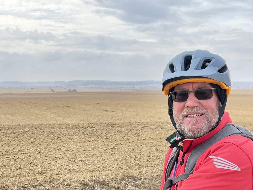
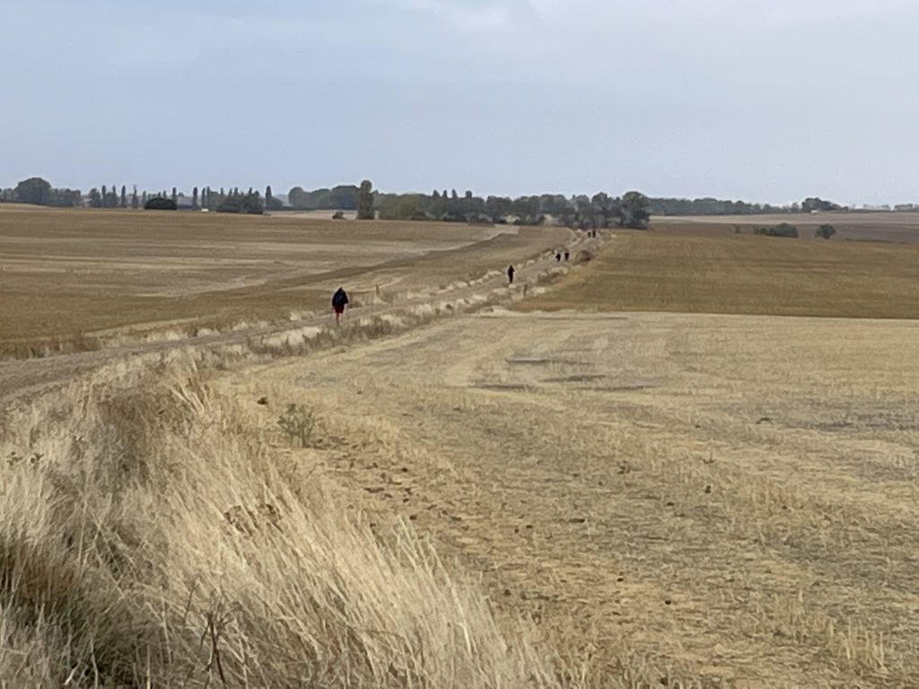
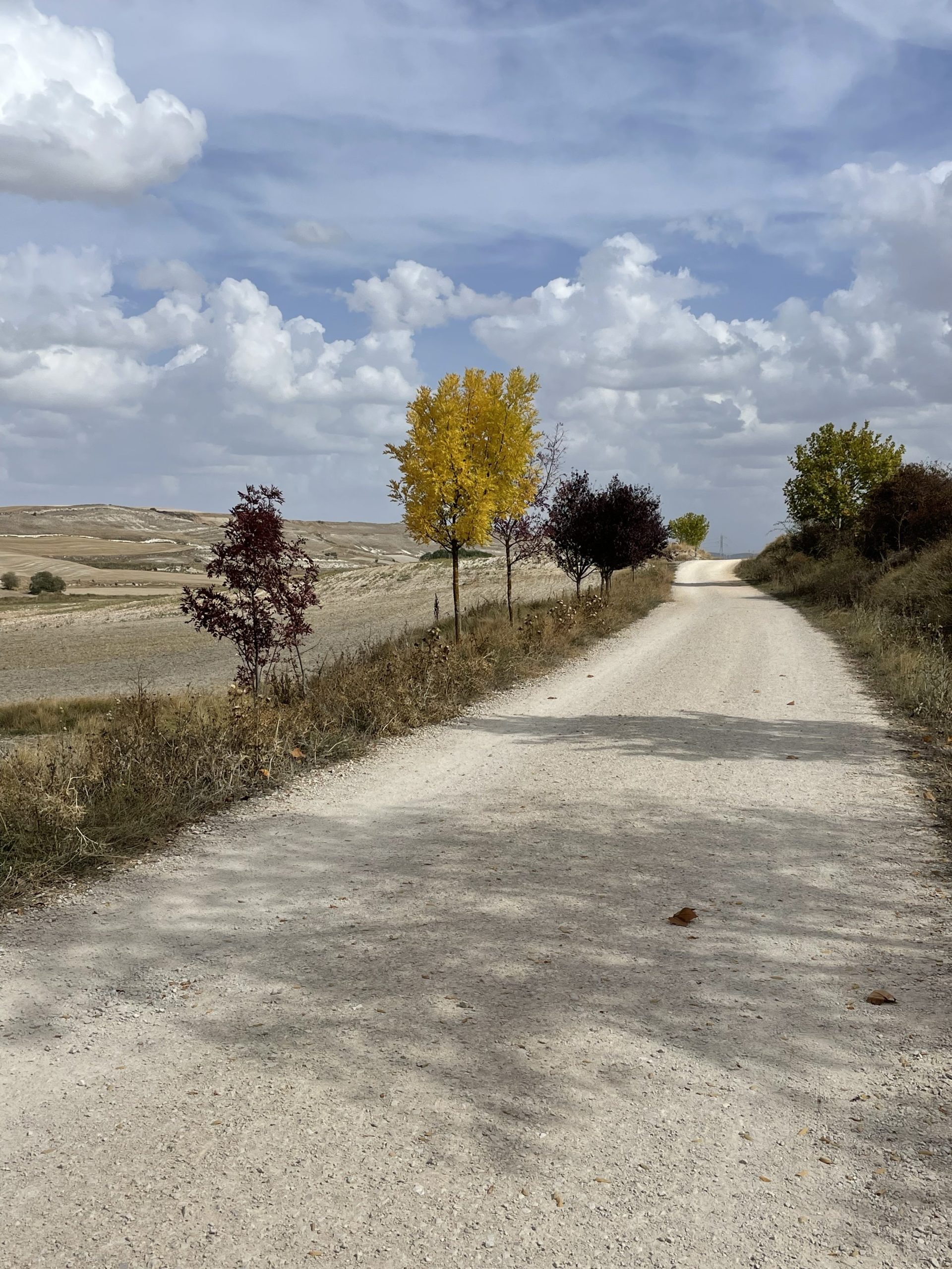
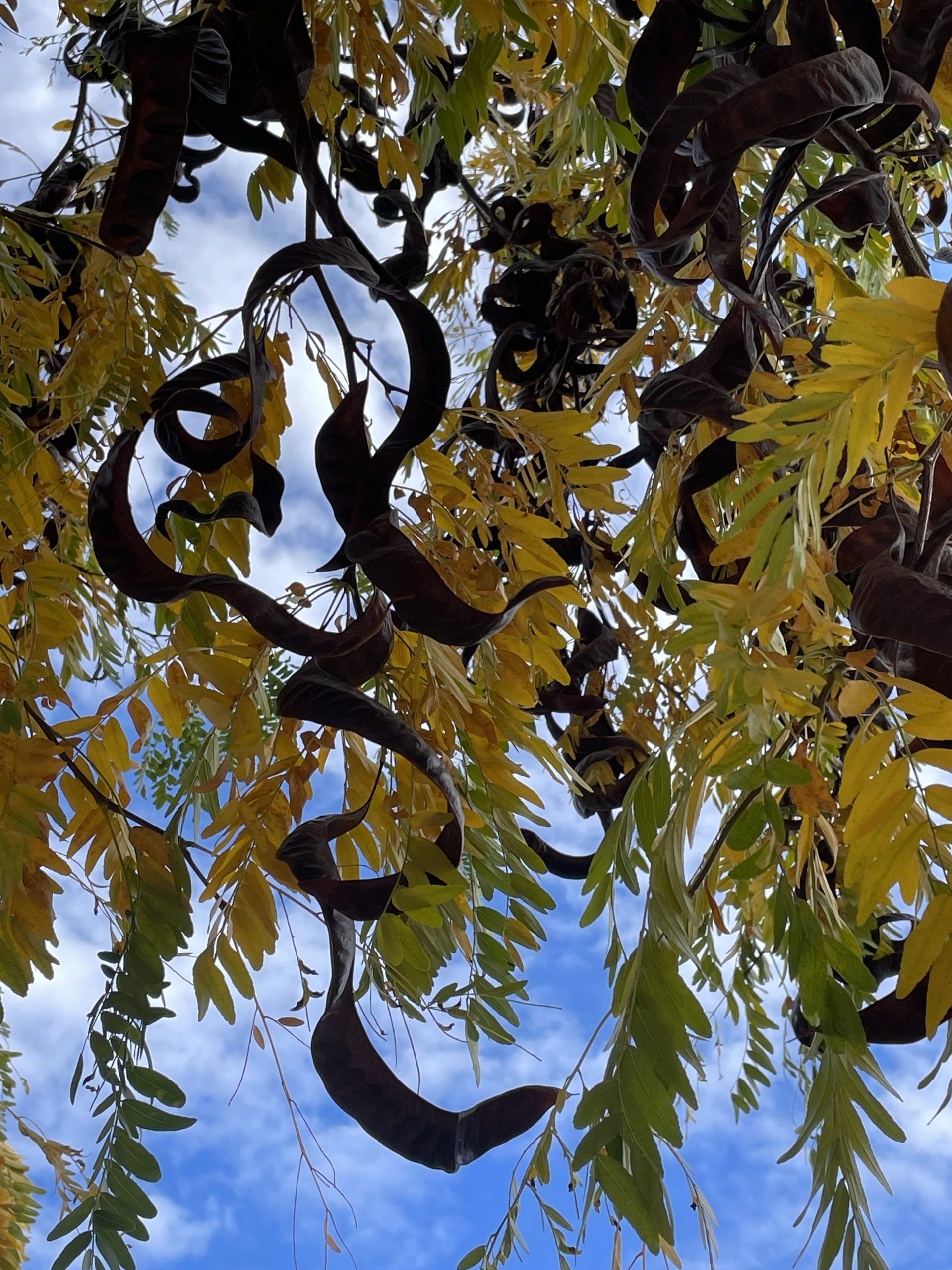
The dominant colour of the scenery was beige as we cycled in October, but not a boring beige, there is texture in the surroundings, course stalks of cut sunflowers, prickly stubble of the harvested cereal crops, soft velvety grasses, and very occasionally a colourful autumnal tree.
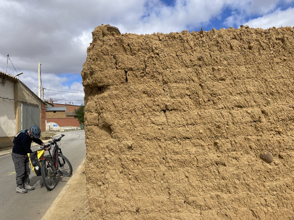
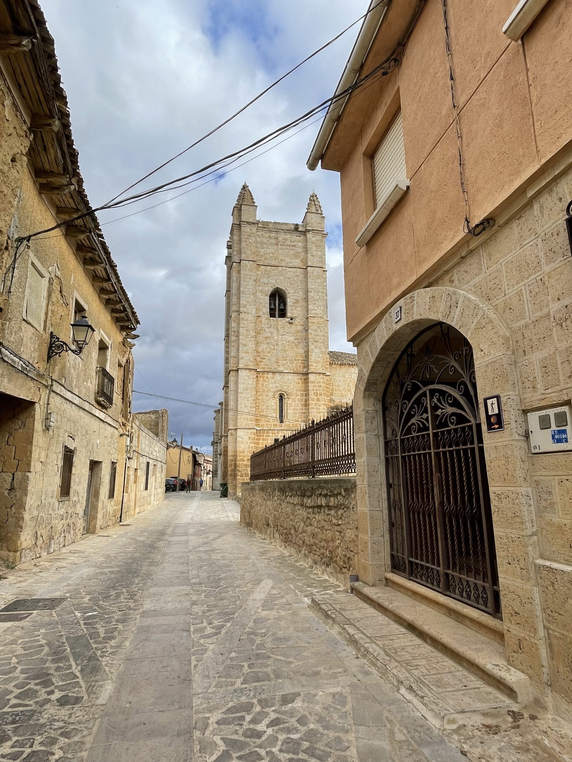
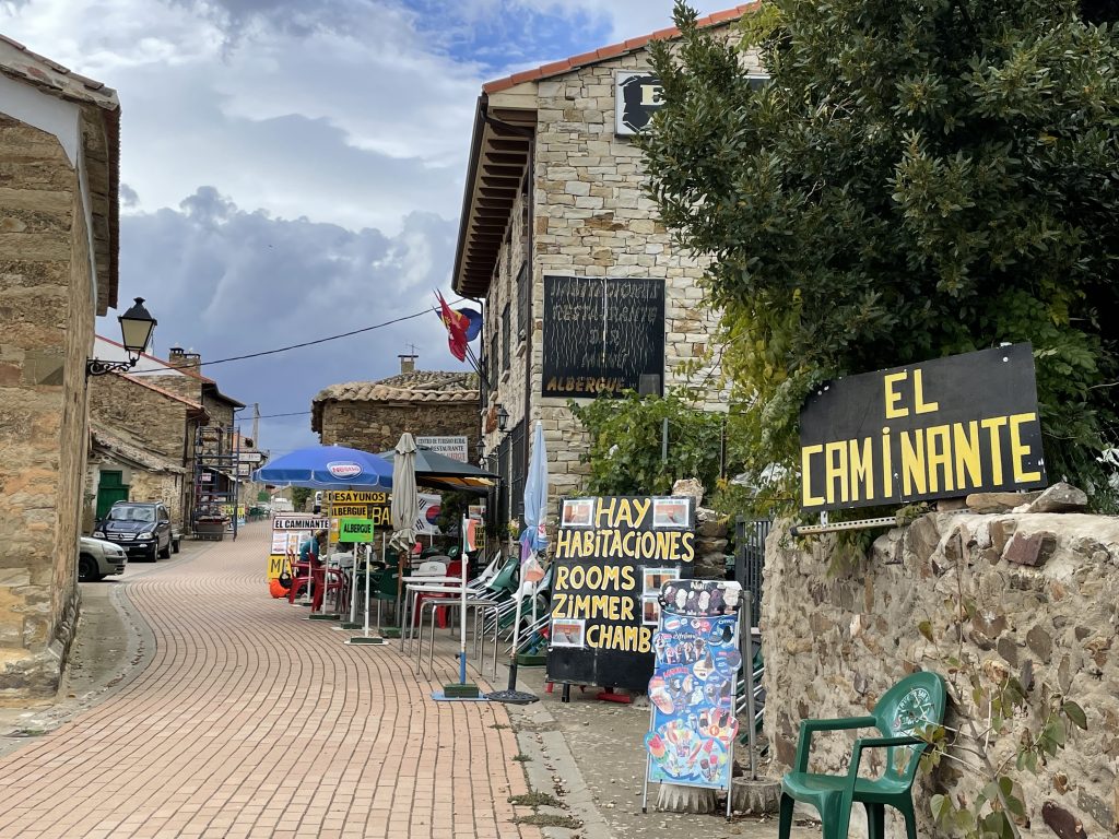
The Camino passes through beige villages which all have four things – a church, a bar, a water fountain and a playground, but not much else. Again, the dominant colour of the buildings is beige, some of the rendering is mud and straw.
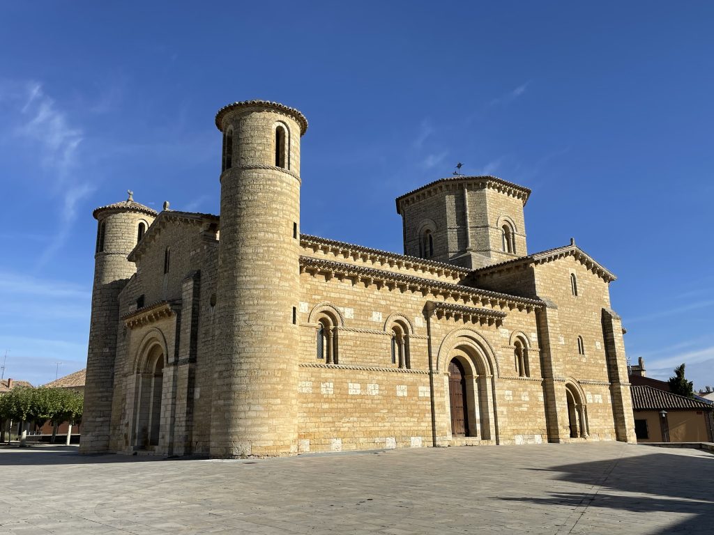
The villages of the meseta are completely dependent on the Camino, without peregrino income most would no longer exist.
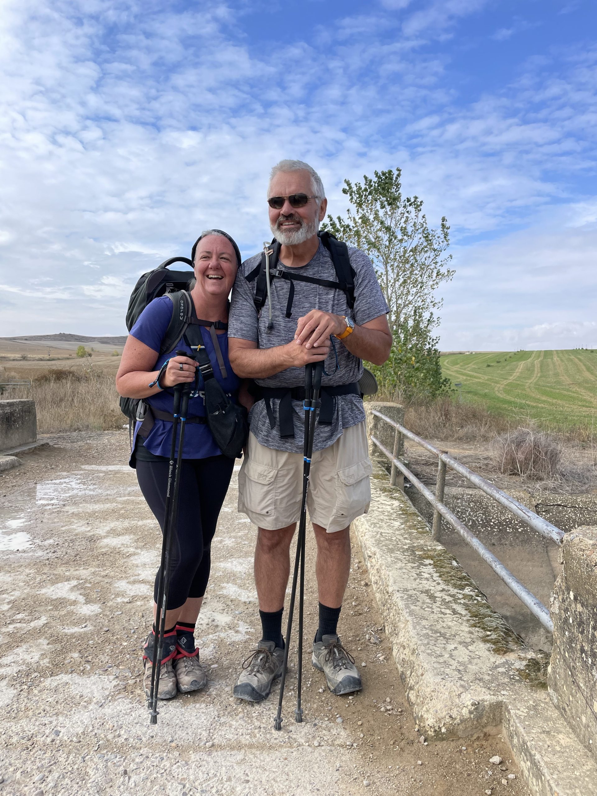
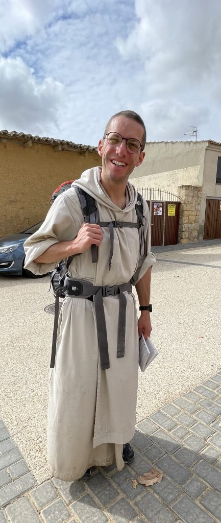
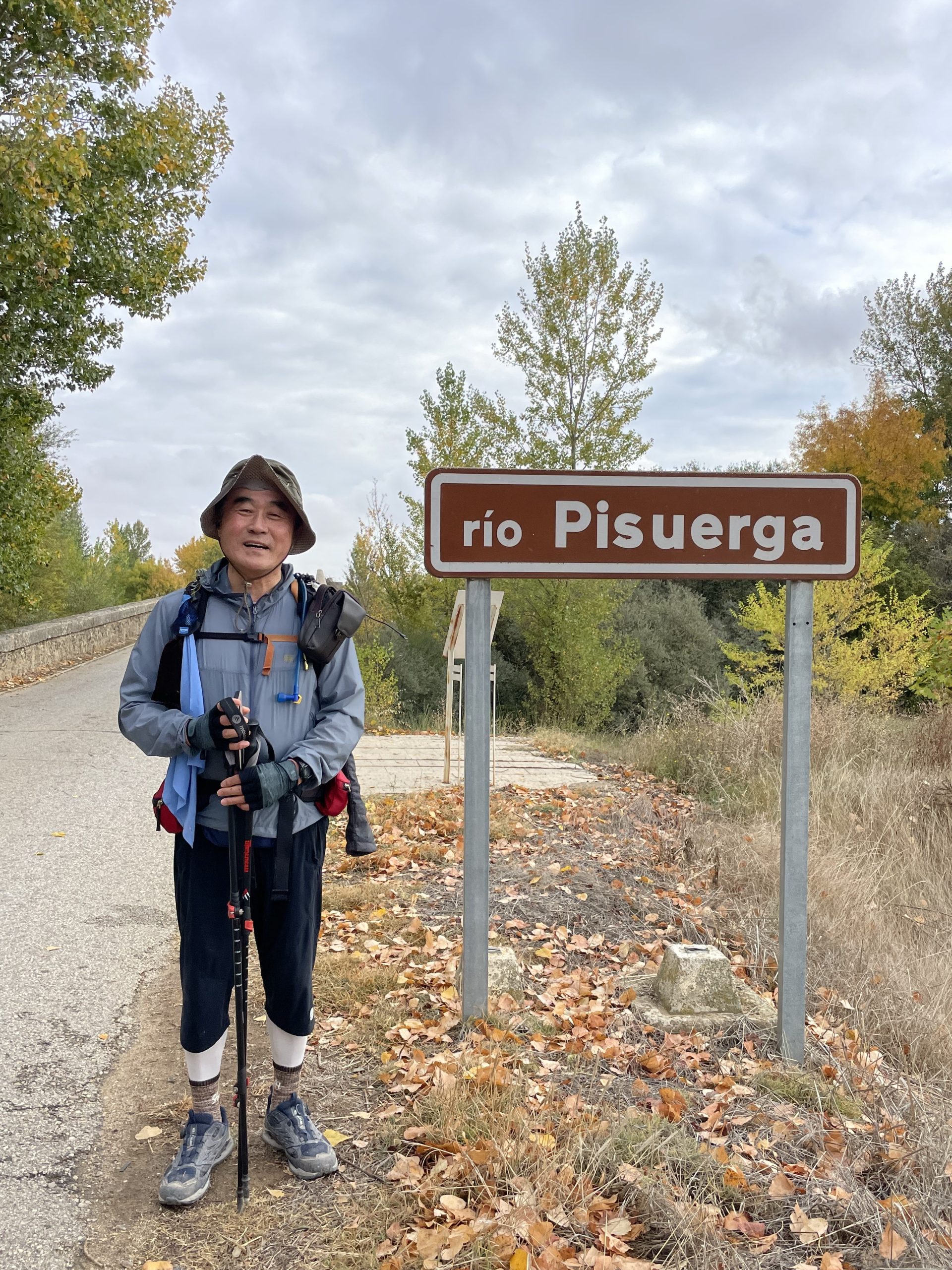
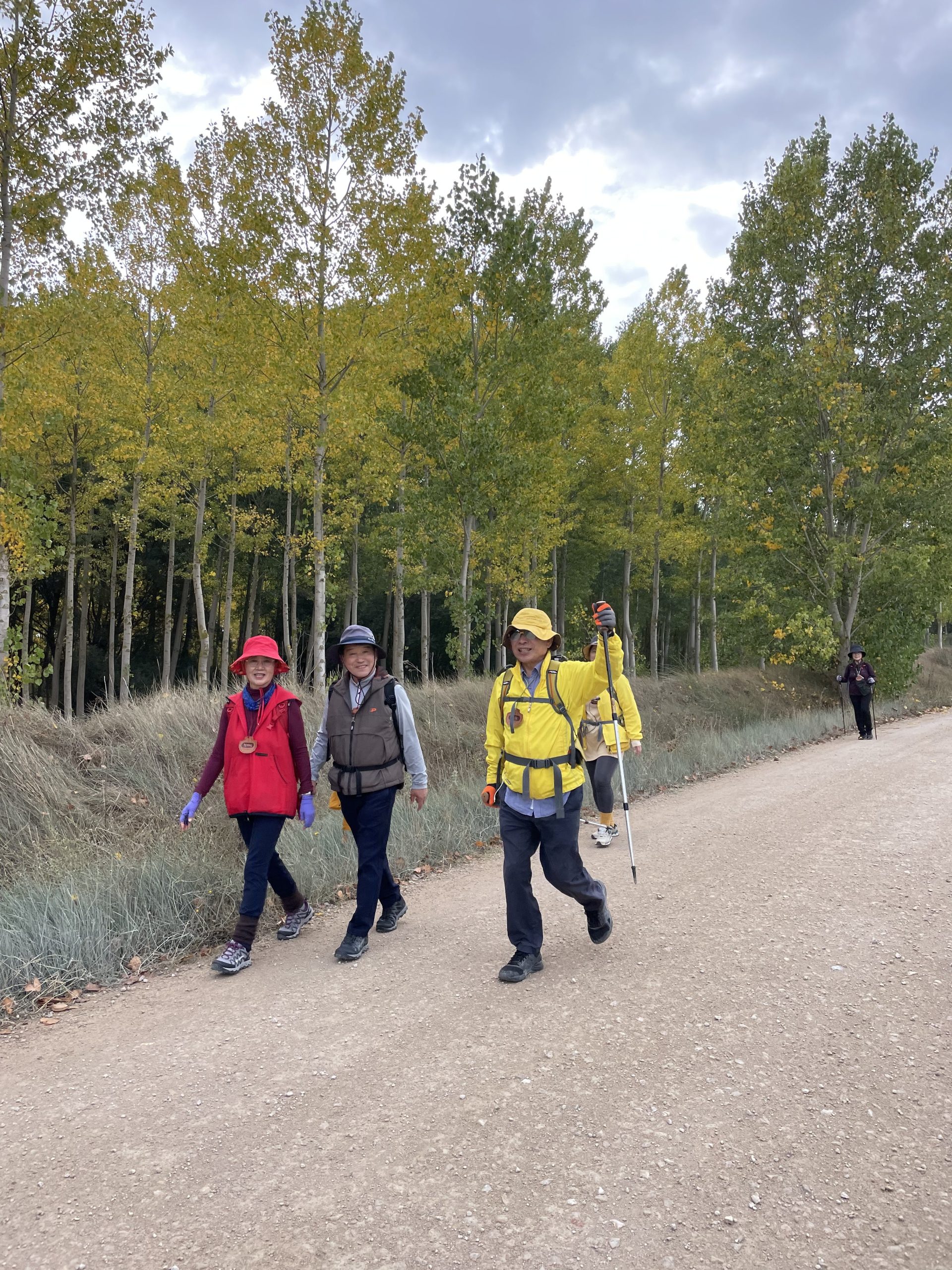
We met and chatted to quite a few peregrinos as we cycled, the South Koreans are by far the happiest and friendliest.
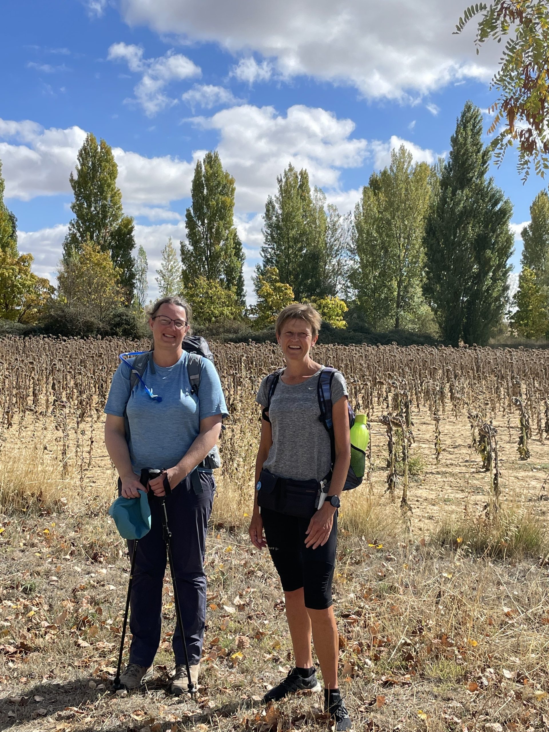
The meseta is a long beige stretch lasting more than 100 miles between Burgos and Leon, the boredom is evident on most of the walkers’ faces, and their posture speaks volumes too. The fields of bent over sunflowers provide good imagery of how the walking pilgrims look.
